Elevation of Fred Johnson Wildlife Management Area, Hinesburg, VT, USA
Location: United States > Vermont > Chittenden County > Hinesburg >
Longitude: -73.044238
Latitude: 44.2851343
Elevation: 406m / 1332feet
Barometric Pressure: 97KPa
Elevation Map:
Satellite Map:
Related Photos:

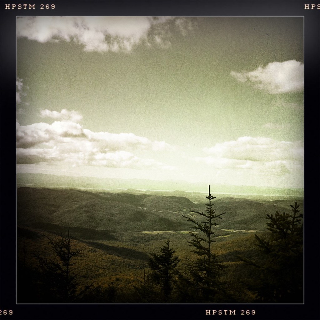
Ap Gap
as far as the eye can see
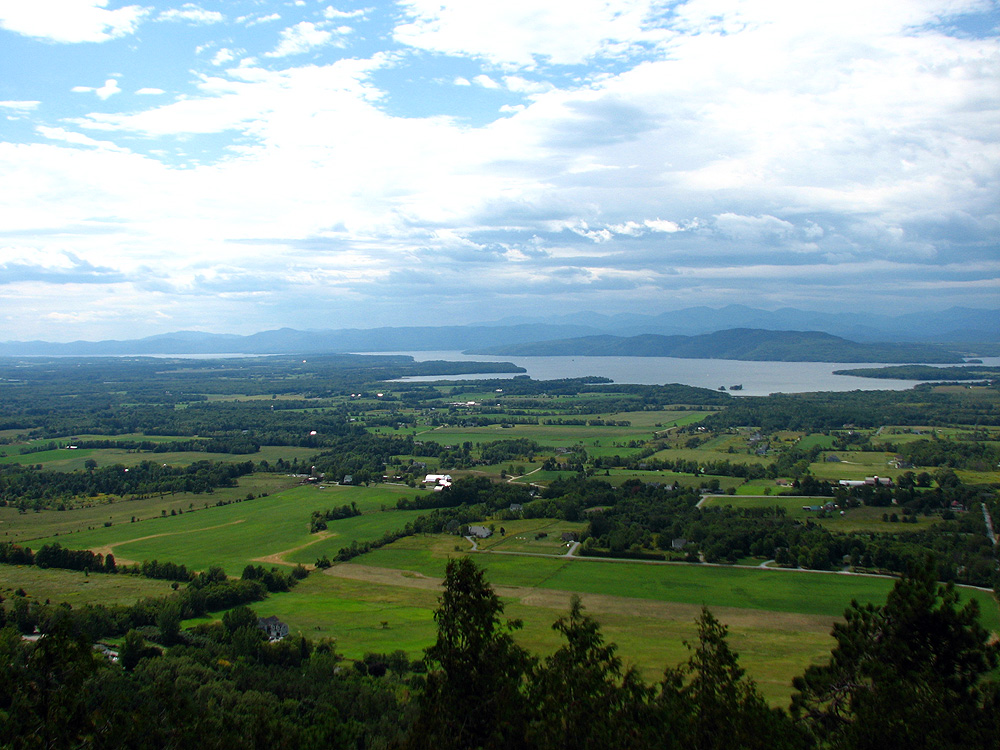
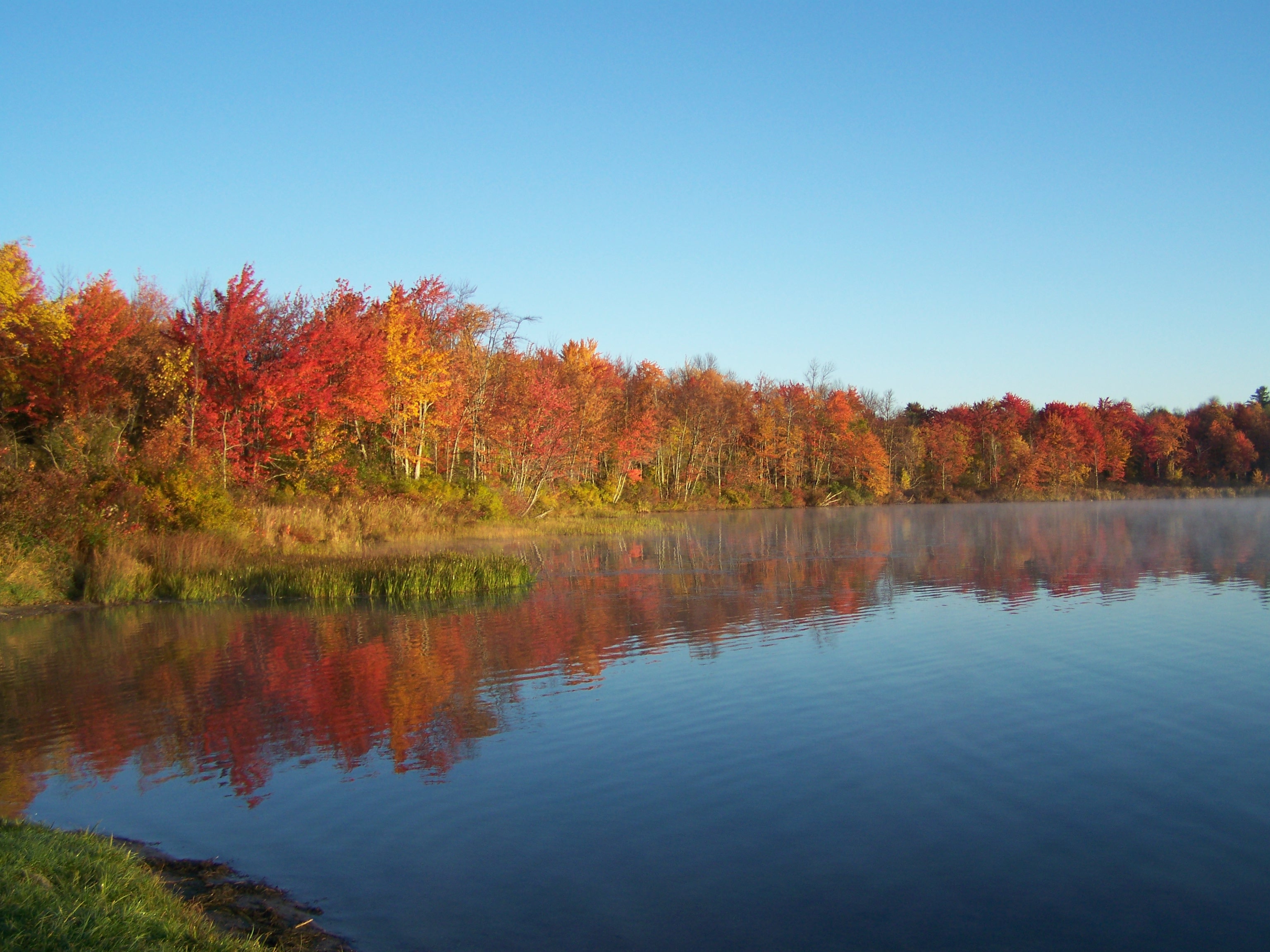
Land, lake, and mountains
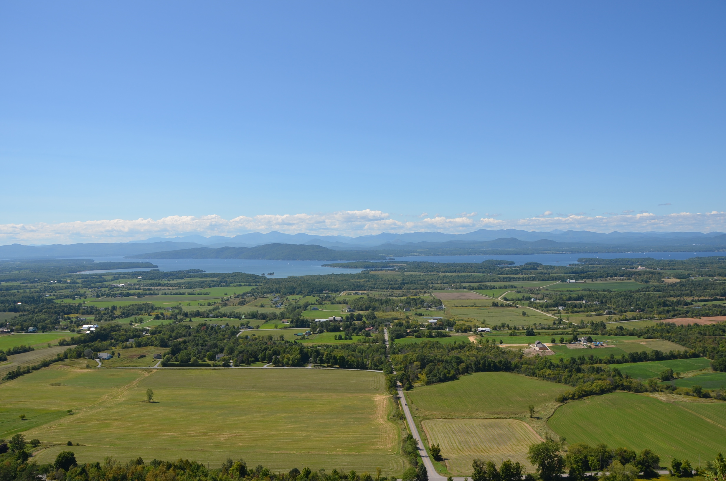
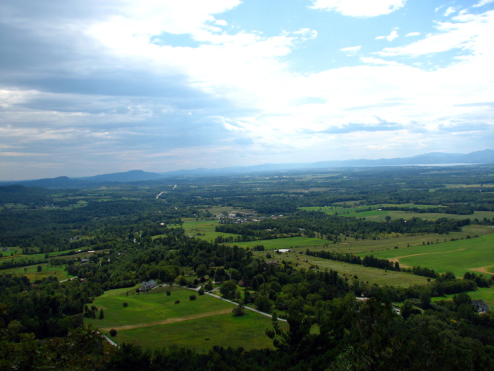
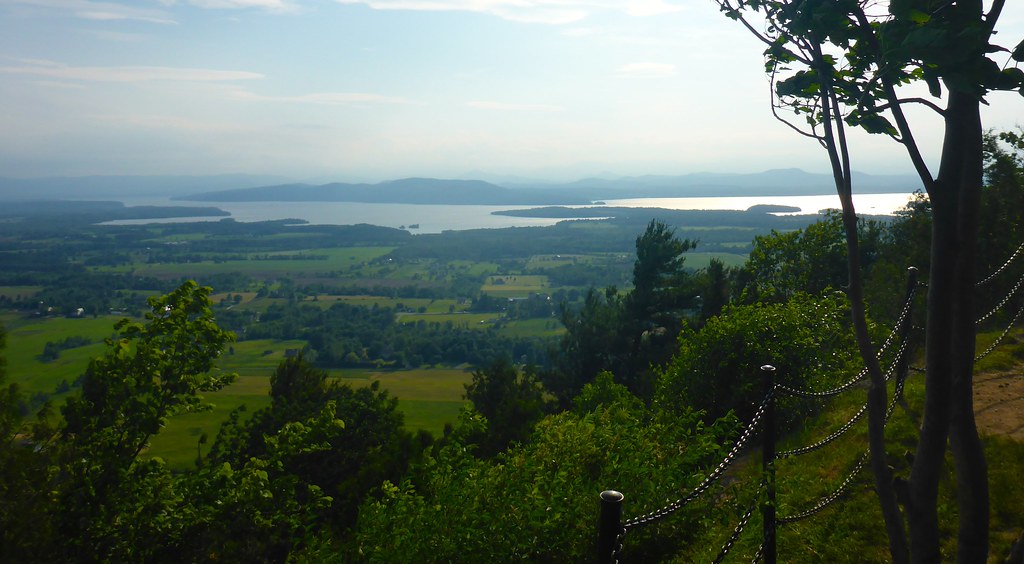
Champlain Valley
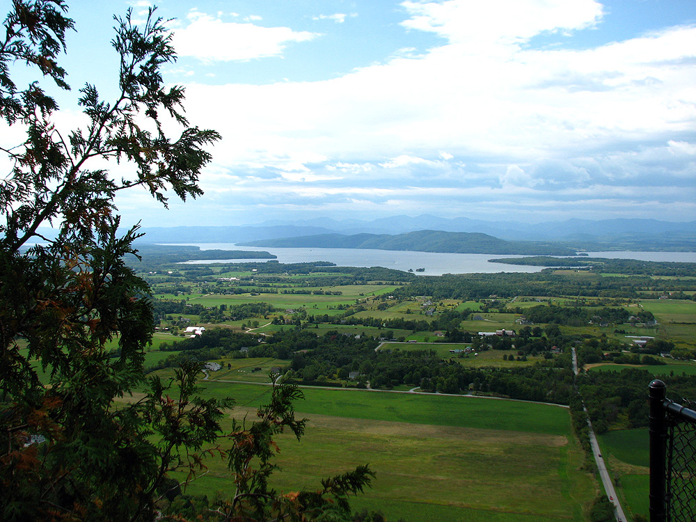
The View From Mt. Philo
Hiking 090610 23
Hiking 090610 22
Hiking 090610 15

Hiking 090610 19
Hiking 090610 20

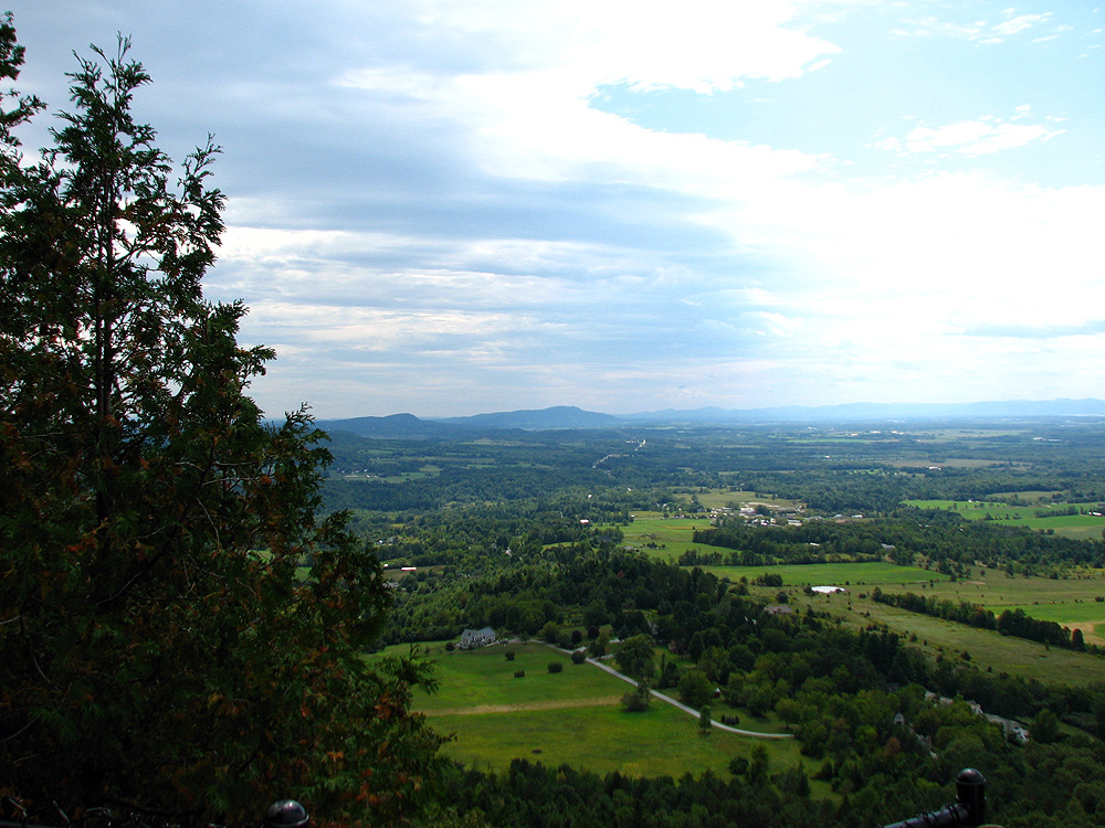
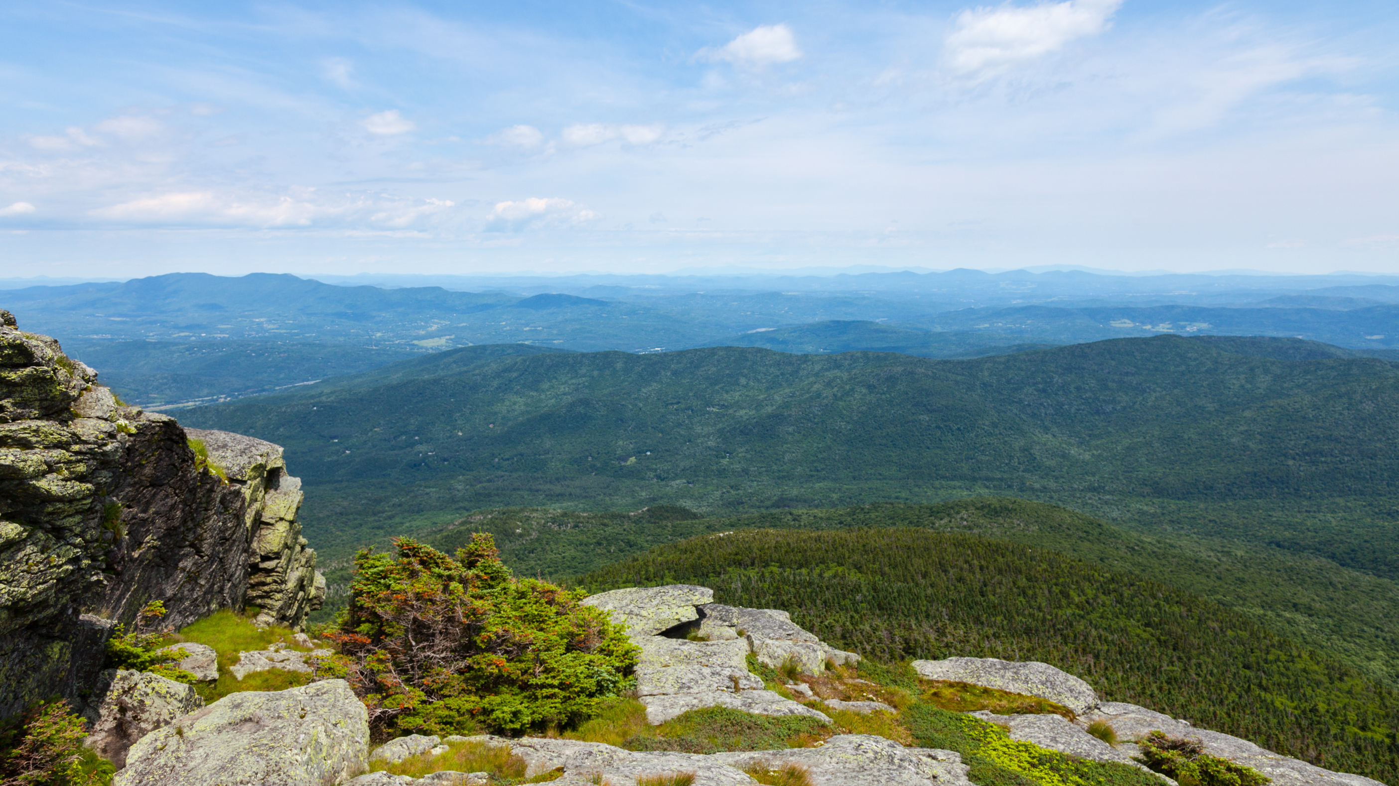
A View From Above
view from burnt rock

Falls of Lana

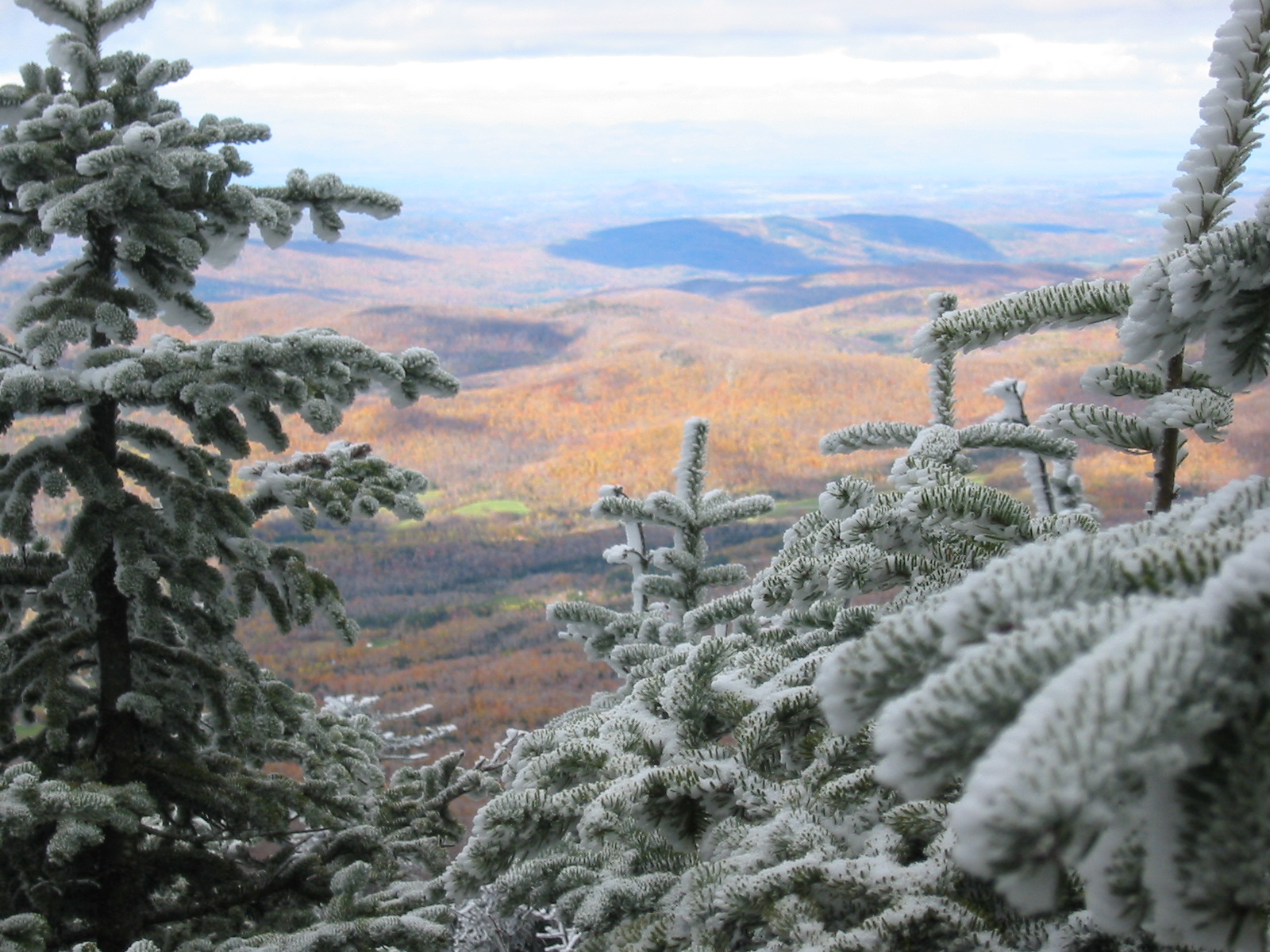
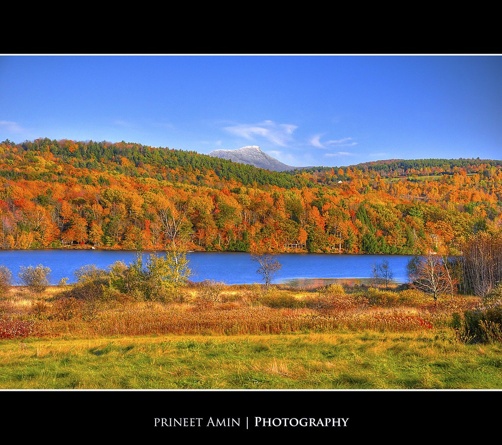
Camel's Hump

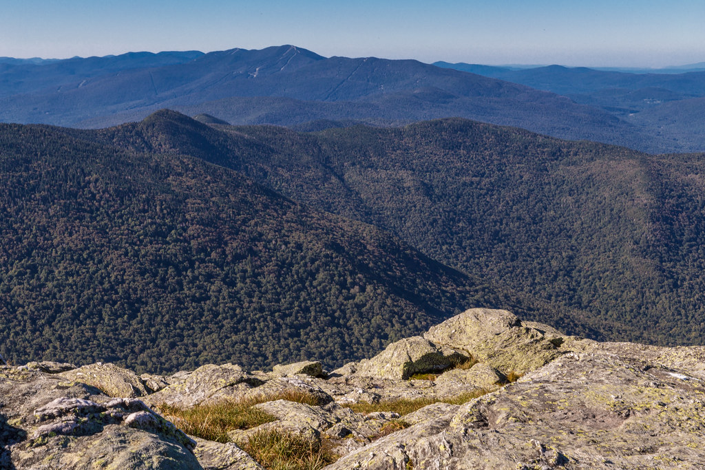
From Hump to Mount Mansfield
Camel's Hump
TrackHead Studos - View Atop Mt. Philo
Lake Iroquois
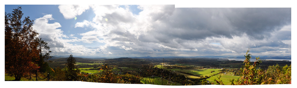
mt philo panorama
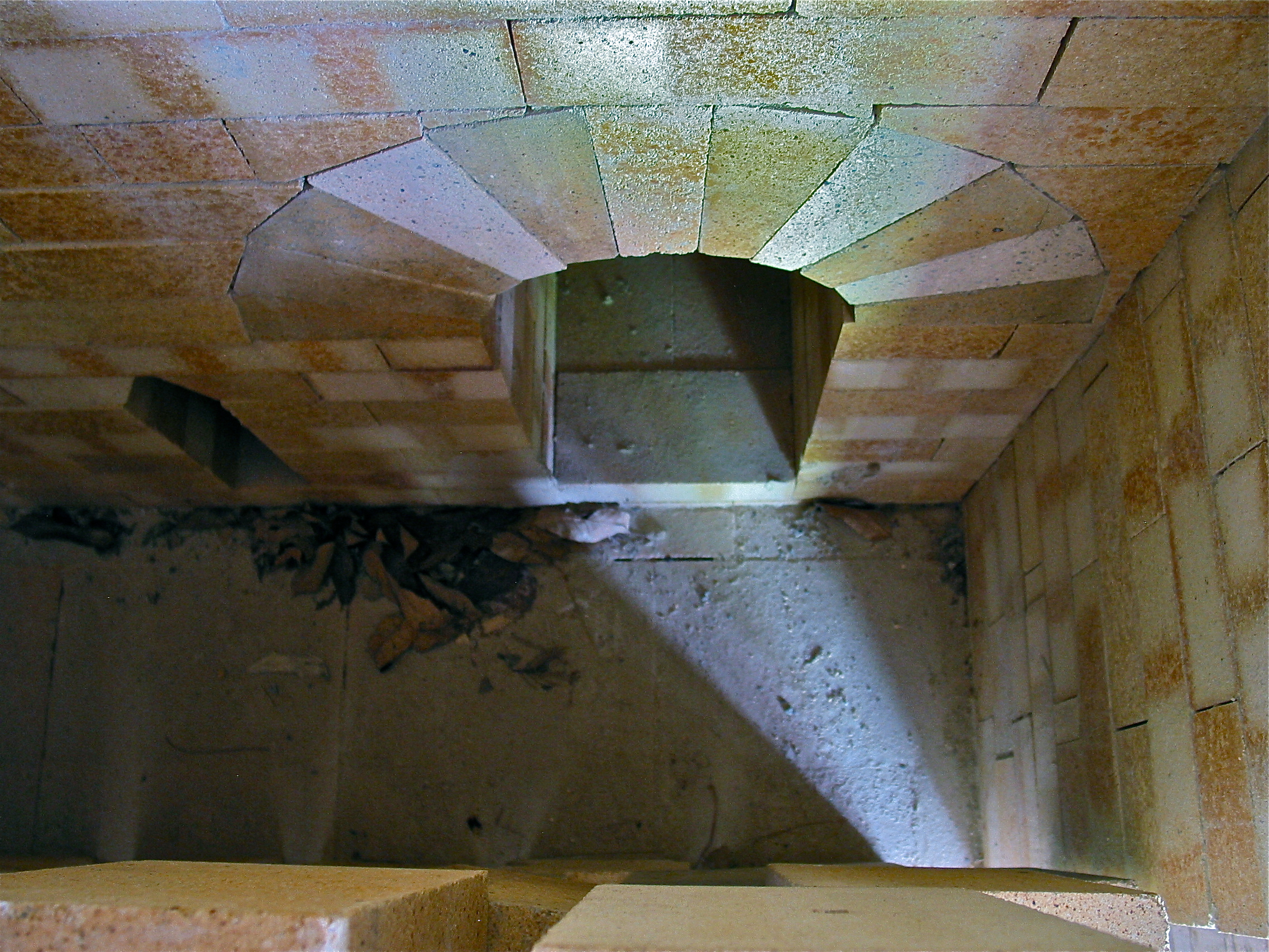
Robert Compton Pottery – kiln view
The View From Camel's Hump Sept 07 01

Puffy White Clouds
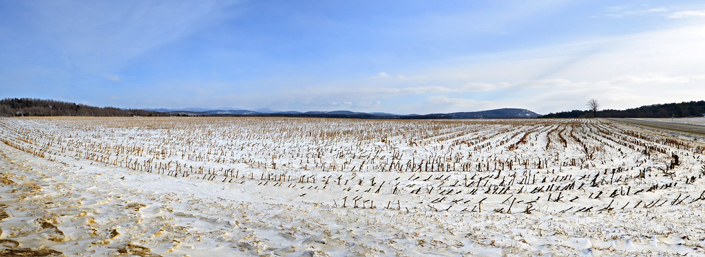
Rural Life

ponds are for skating
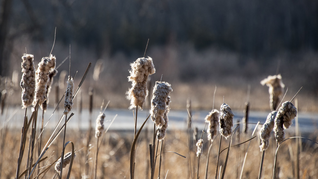
Cattail coming out party
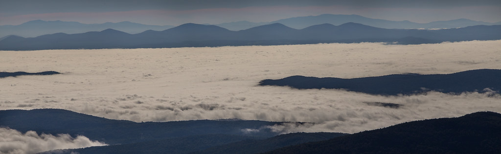
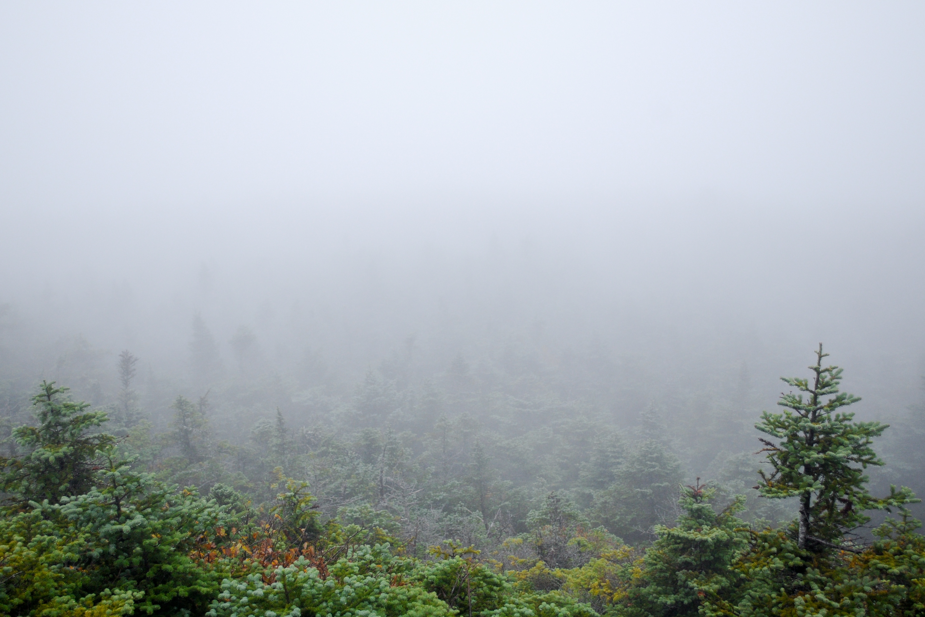
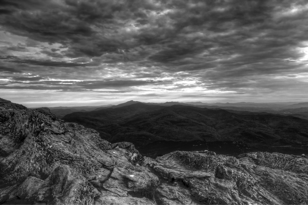
Sea of fog - Camel's Hump summit
The Green Mountains
Ellen - Camel's Hump summit
Lake Iroquois_0995

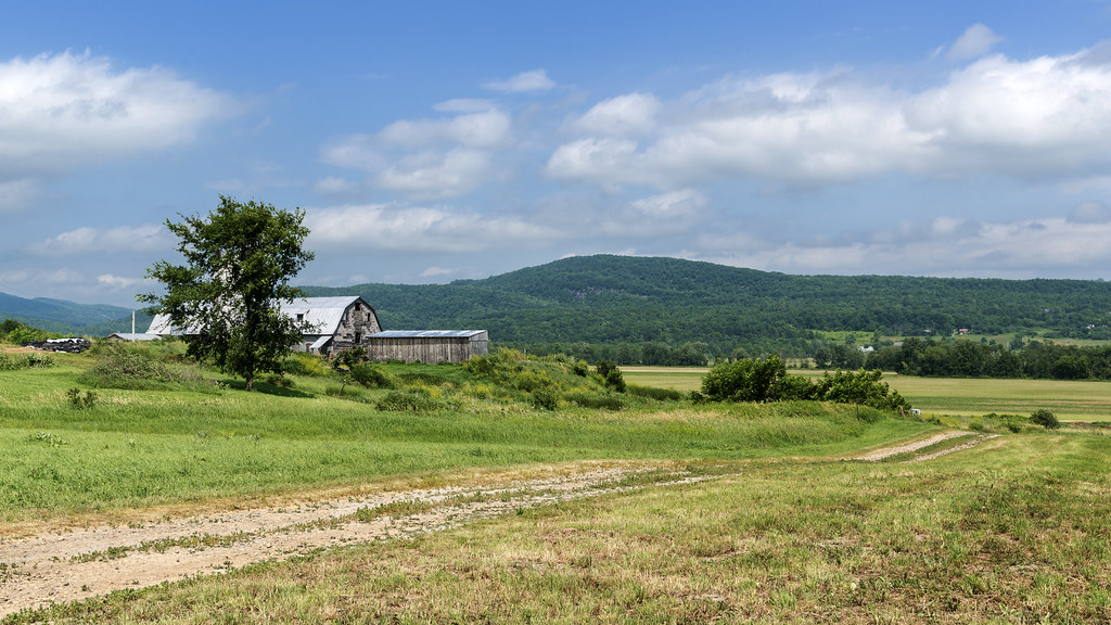
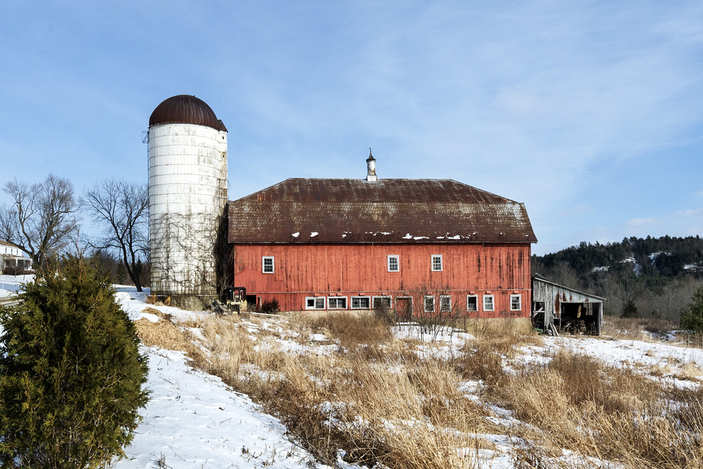
Old Barn

Ten Foot Clearance
Snow for Christmas

Monkton Barn (Explored!)
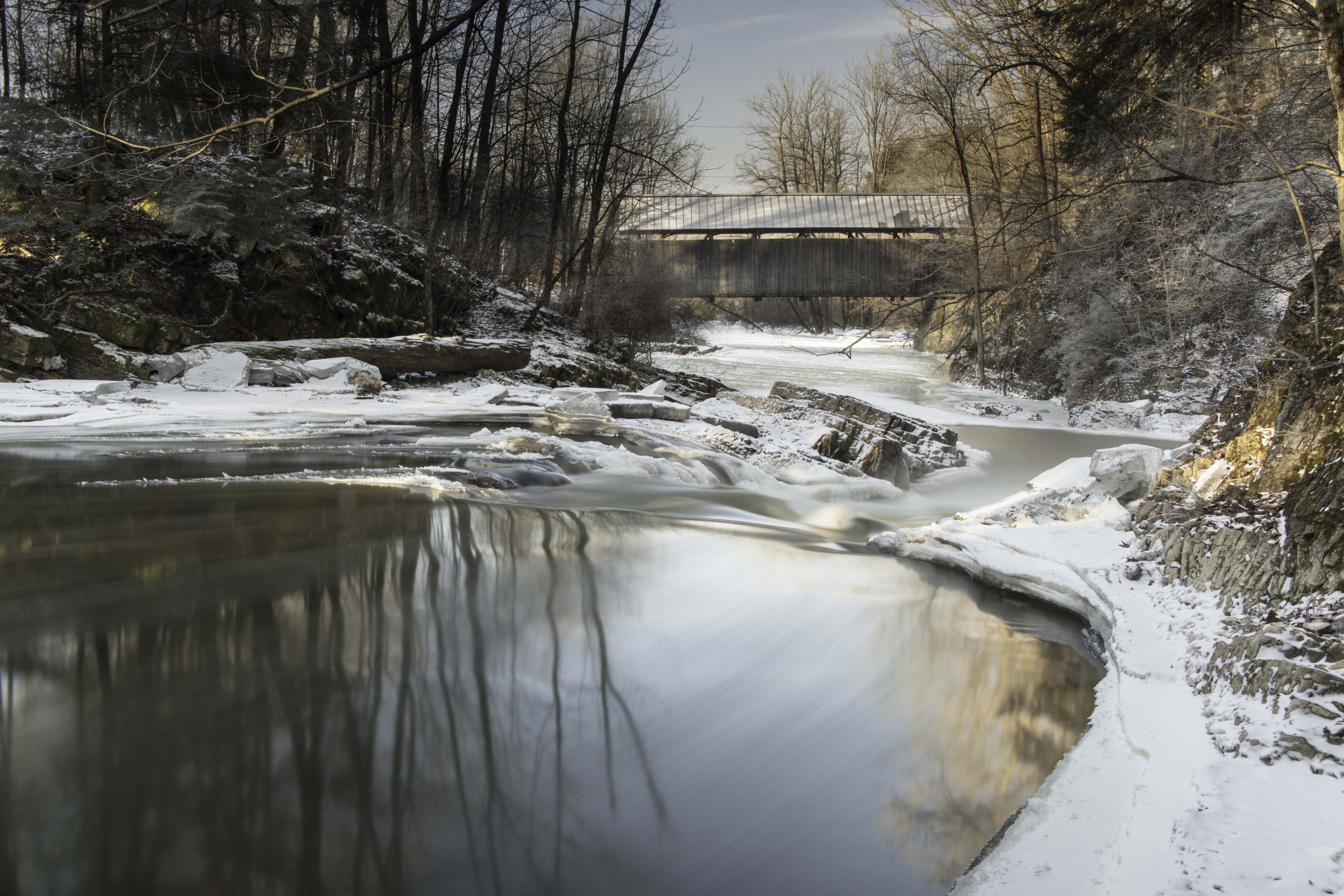
Seguin Covered Bridge
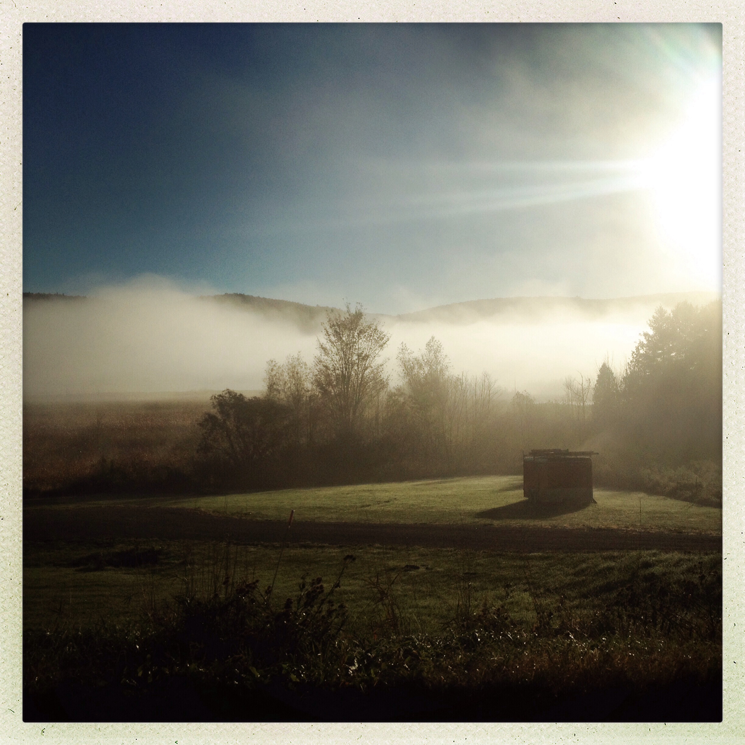
Morning Mist
crop circle
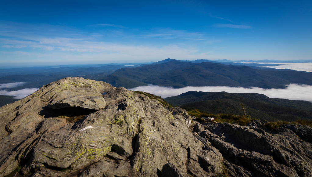
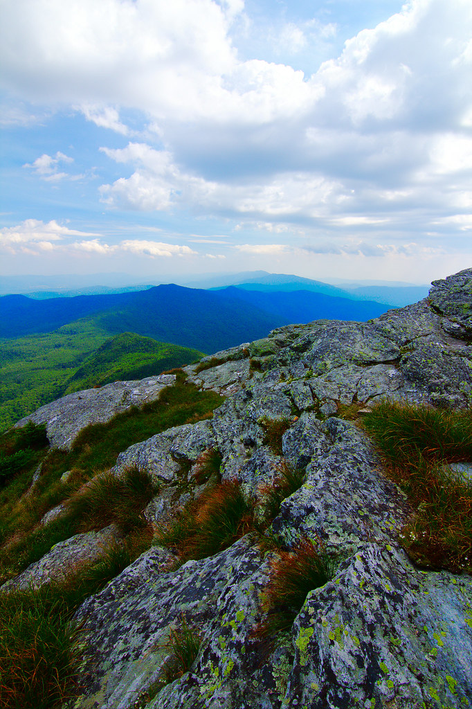
Camel's Hump summit
Topographic Map of Fred Johnson Wildlife Management Area, Hinesburg, VT, USA
Find elevation by address:

Places near Fred Johnson Wildlife Management Area, Hinesburg, VT, USA:
22 Varney Hill Rd
4118 Vt-116
Starksboro
89 Tatro Rd
129 Hidden Acres Drive
1862 Mountain Rd
Monkton Ridge, North Ferrisburgh, VT, USA
689 Moody Rd
Charlie Smith Road
Gore Road
3979 Mountain Rd
350 Weaver Rd
1056 Lafayette Rd
945 Upper Meehan Rd
Buels
1056 Vt-17
Hardscrabble Road
602 Sunwood Ln
1291 Colby Hill Rd
Mad River Glen Cooperative
Recent Searches:
- Elevation of Groblershoop, South Africa
- Elevation of Power Generation Enterprises | Industrial Diesel Generators, Oak Ave, Canyon Country, CA, USA
- Elevation of Chesaw Rd, Oroville, WA, USA
- Elevation of N, Mt Pleasant, UT, USA
- Elevation of 6 Rue Jules Ferry, Beausoleil, France
- Elevation of Sattva Horizon, 4JC6+G9P, Vinayak Nagar, Kattigenahalli, Bengaluru, Karnataka, India
- Elevation of Great Brook Sports, Gold Star Hwy, Groton, CT, USA
- Elevation of 10 Mountain Laurels Dr, Nashua, NH, USA
- Elevation of 16 Gilboa Ln, Nashua, NH, USA
- Elevation of Laurel Rd, Townsend, TN, USA