Elevation of Heber, Heber-Overgaard, AZ, USA
Location: United States > Arizona > Navajo County > Heber-overgaard >
Longitude: -110.59424
Latitude: 34.4311397
Elevation: 1962m / 6437feet
Barometric Pressure: 80KPa
Elevation Map:
Satellite Map:
Related Photos:
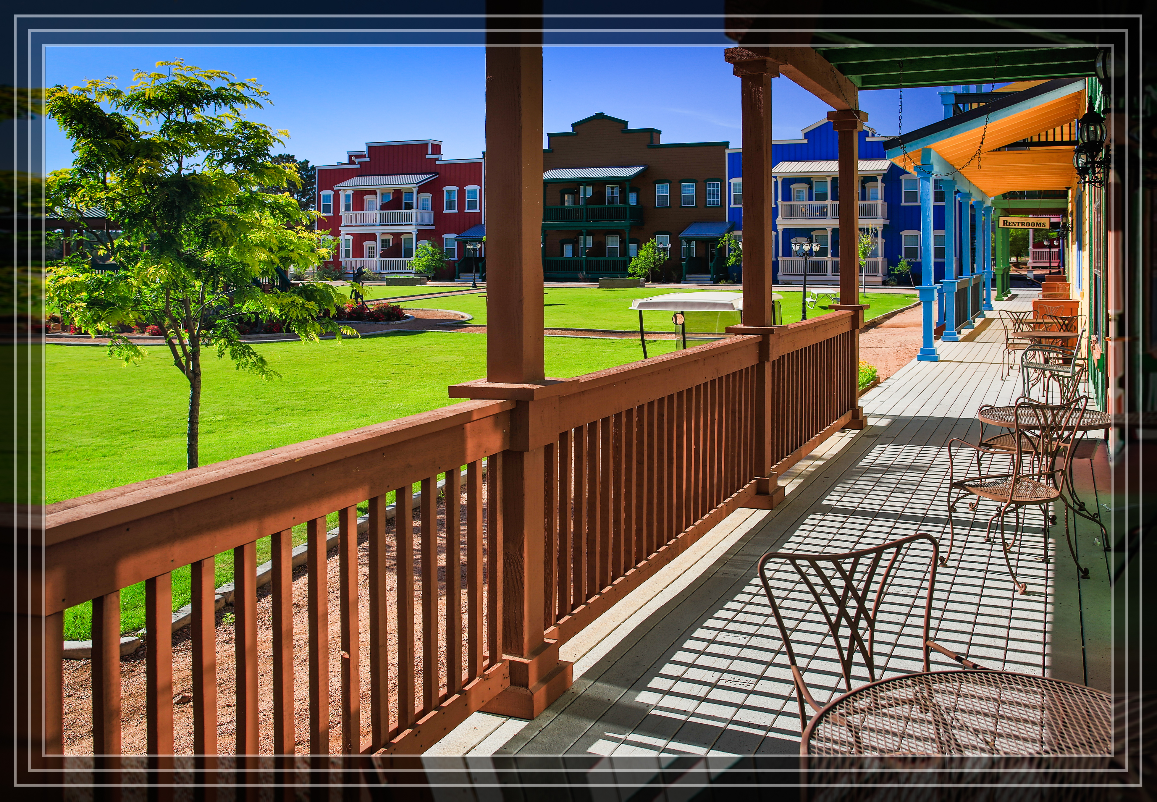
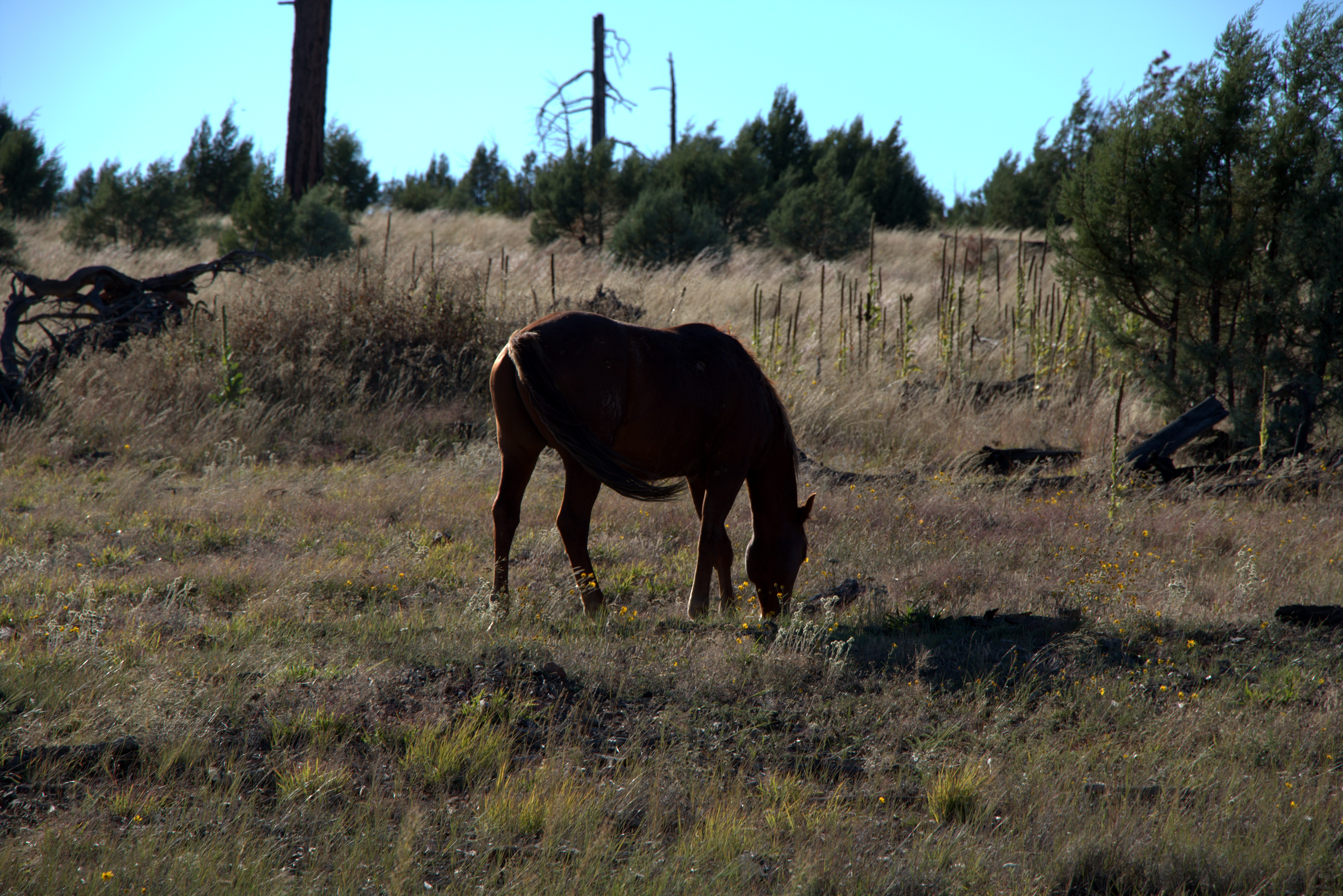
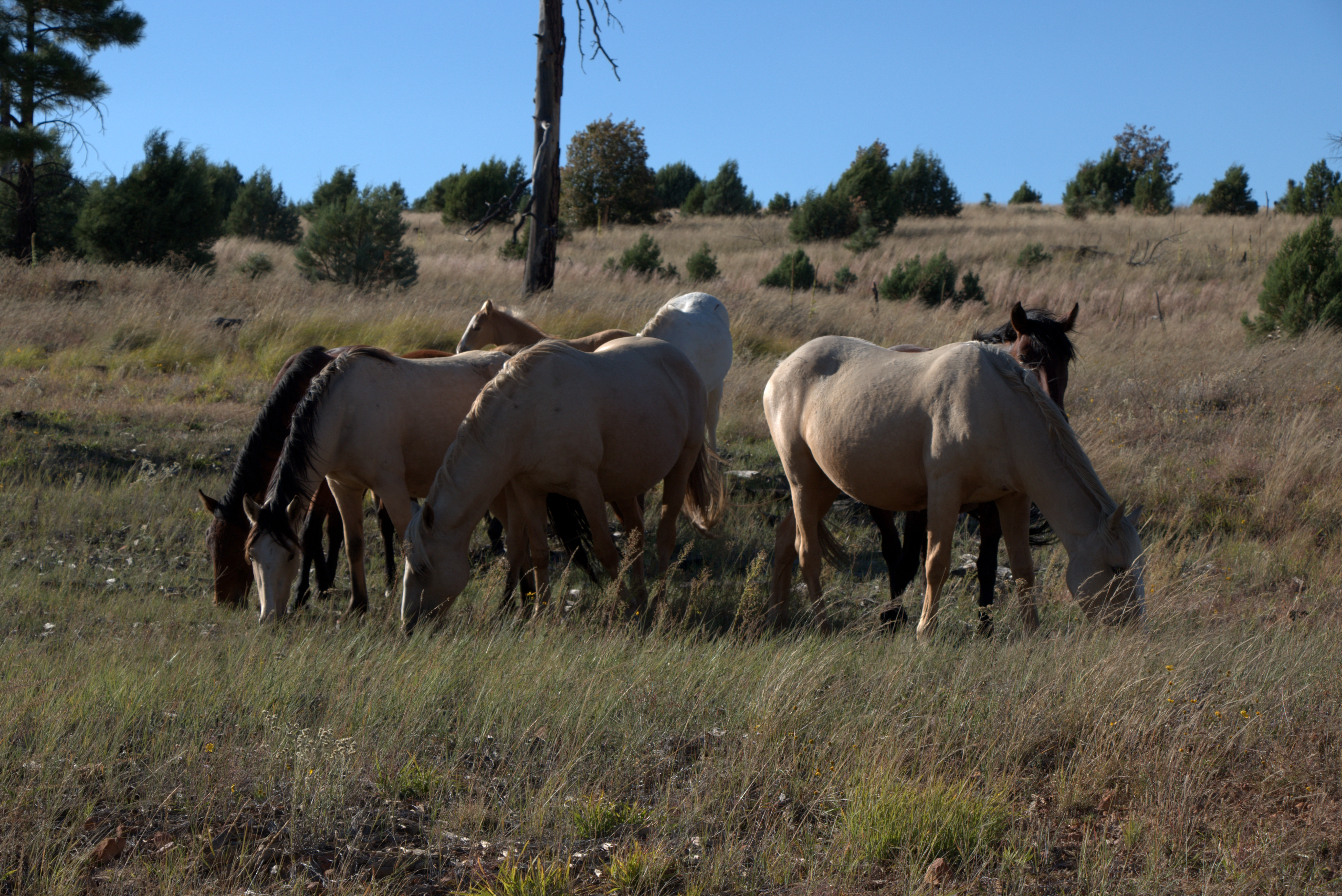
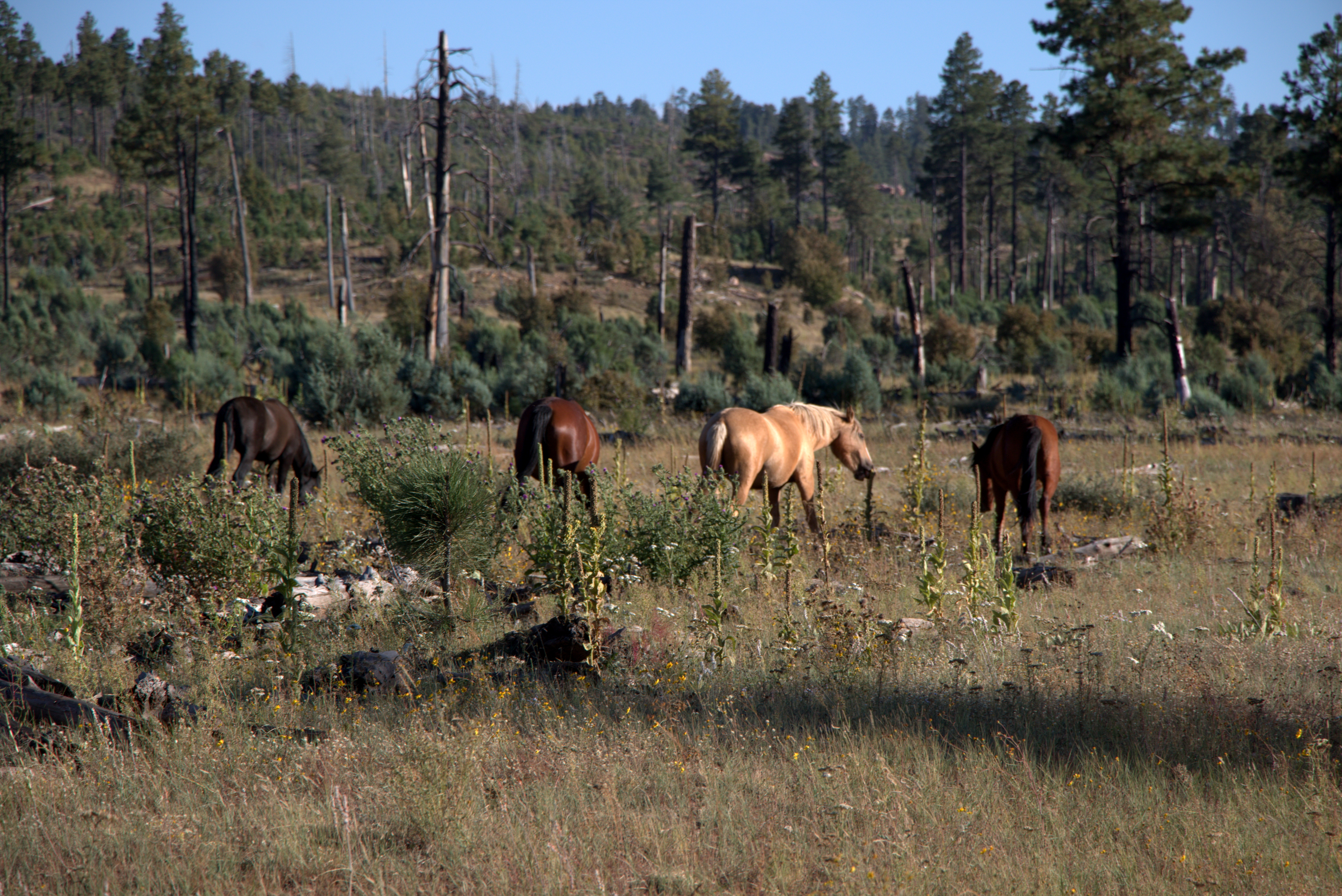
Bison Buildings

Bokeh Test

Me & Kristen

Kristen & Adrianna
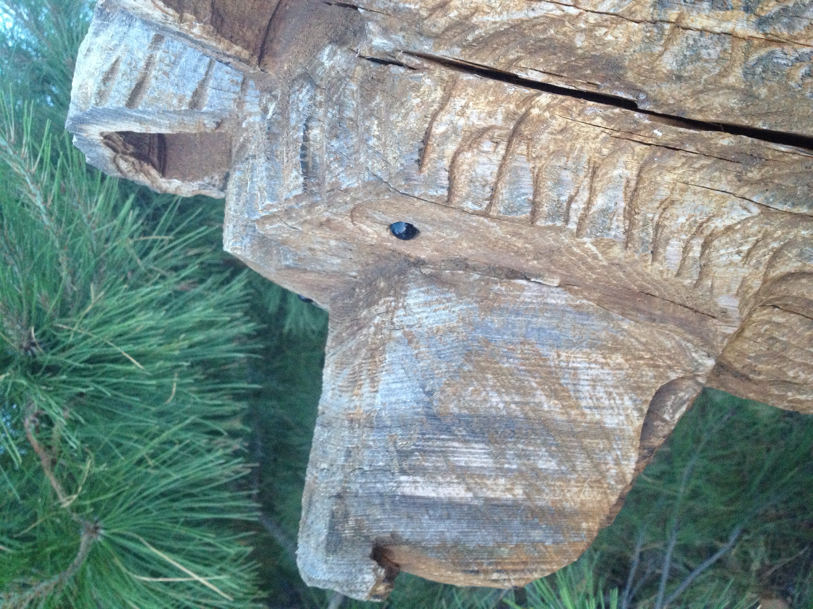
From a bears view.

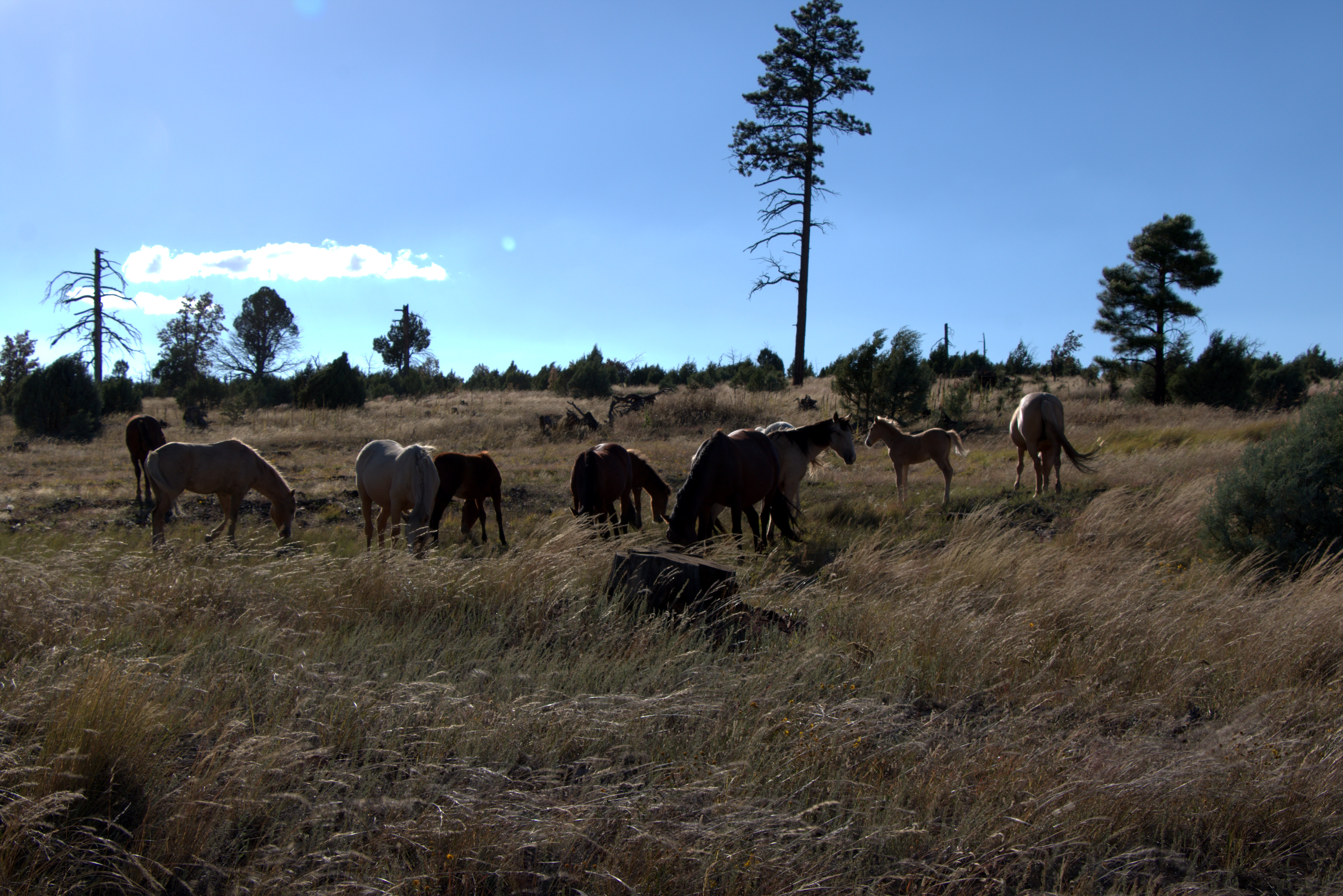
Approaching Storm
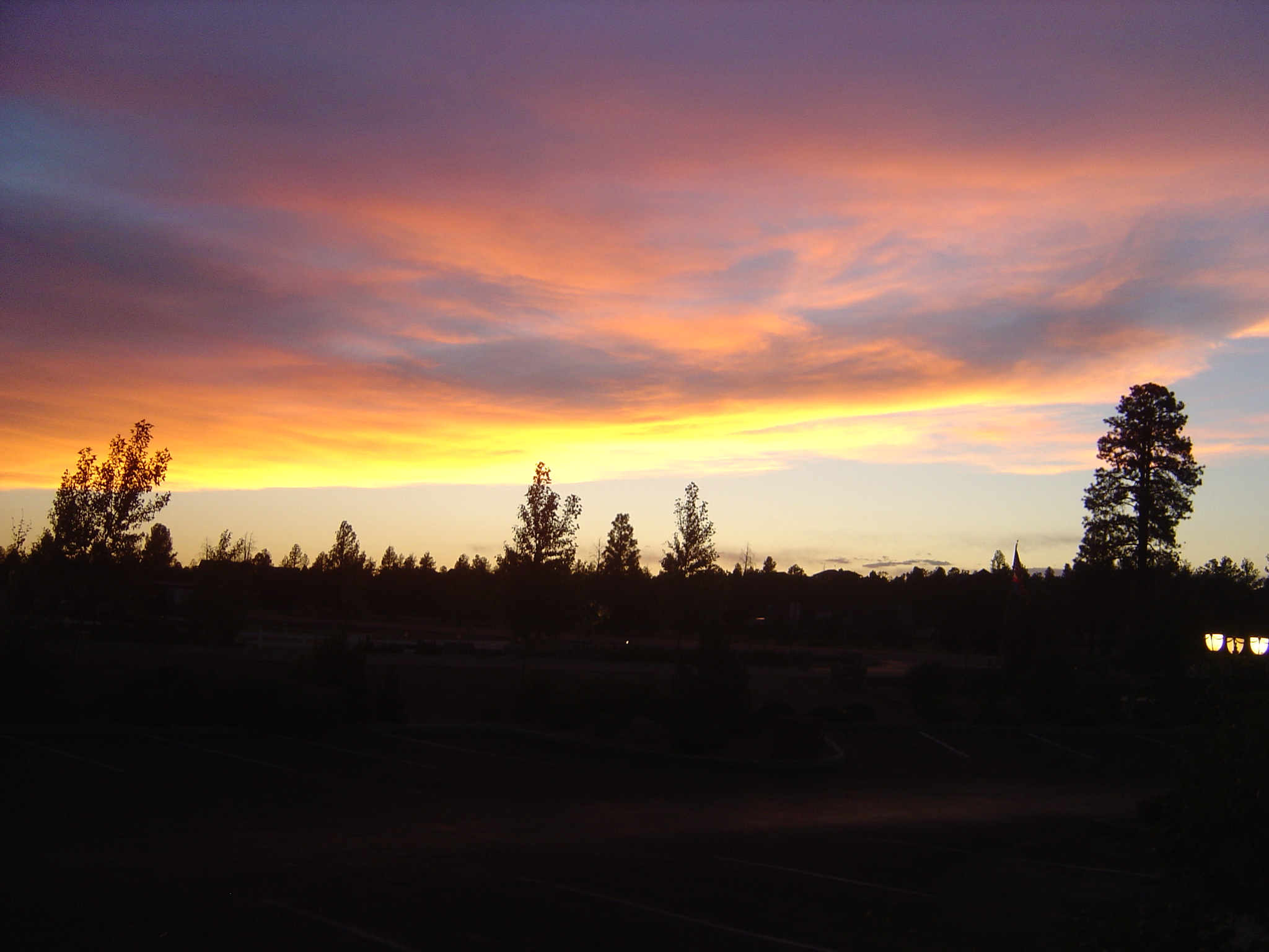
Bison Ranch Sunset

IMG_4829.CR2
IMG_4831.CR2

IMG_4832.CR2
IMG_4848.CR2
IMG_4850.CR2
IMG_4866.CR2

IMG_4837.CR2
Topographic Map of Heber, Heber-Overgaard, AZ, USA
Find elevation by address:

Places in Heber, Heber-Overgaard, AZ, USA:
Places near Heber, Heber-Overgaard, AZ, USA:
1748 Memorial Park Rd
3323 Bear Heights
1775 Canyon Dr
3667 Pine Rim Dr
1975 Artist Draw Rd
3462 Highland Dr
Heber-overgaard
2085 Ponderosa Tr
2772 Canyon Ridge
Navajo Drive
3330 Navajo Dr
2712 Lost Way
2865 Buck Ln
2237 Chevelon Rd
Overgaard
2213 Rodeo Rd
2714 Stagecoach Blvd
2800 Sky Hawk Dr
2294 Thunderbird Way
Bison Ranch Condos
Recent Searches:
- Elevation of Spaceport America, Co Rd A, Truth or Consequences, NM, USA
- Elevation of Warwick, RI, USA
- Elevation of Fern Rd, Whitmore, CA, USA
- Elevation of 62 Abbey St, Marshfield, MA, USA
- Elevation of Fernwood, Bradenton, FL, USA
- Elevation of Felindre, Swansea SA5 7LU, UK
- Elevation of Leyte Industrial Development Estate, Isabel, Leyte, Philippines
- Elevation of W Granada St, Tampa, FL, USA
- Elevation of Pykes Down, Ivybridge PL21 0BY, UK
- Elevation of Jalan Senandin, Lutong, Miri, Sarawak, Malaysia