Elevation of Thunderbird Way, Heber, AZ, USA
Location: United States > Arizona > Navajo County >
Longitude: -110.53265
Latitude: 34.400973
Elevation: 2023m / 6637feet
Barometric Pressure: 79KPa
Elevation Map:
Satellite Map:
Related Photos:

Bison Buildings

Bokeh Test

Kristen & Adrianna

Me & Kristen
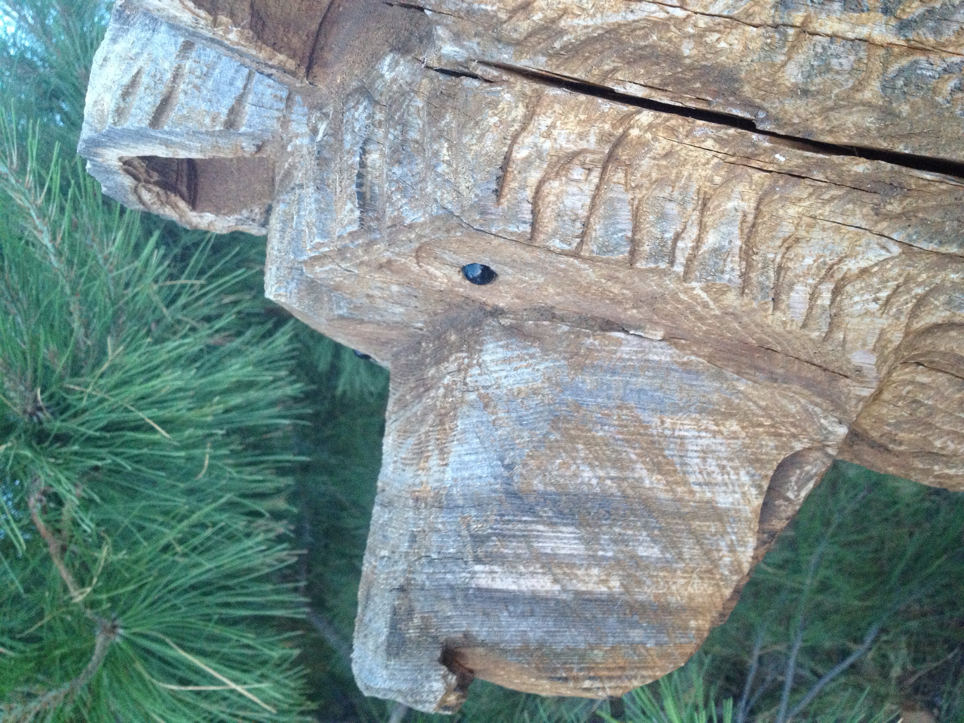
From a bears view.

IMG_4837.CR2
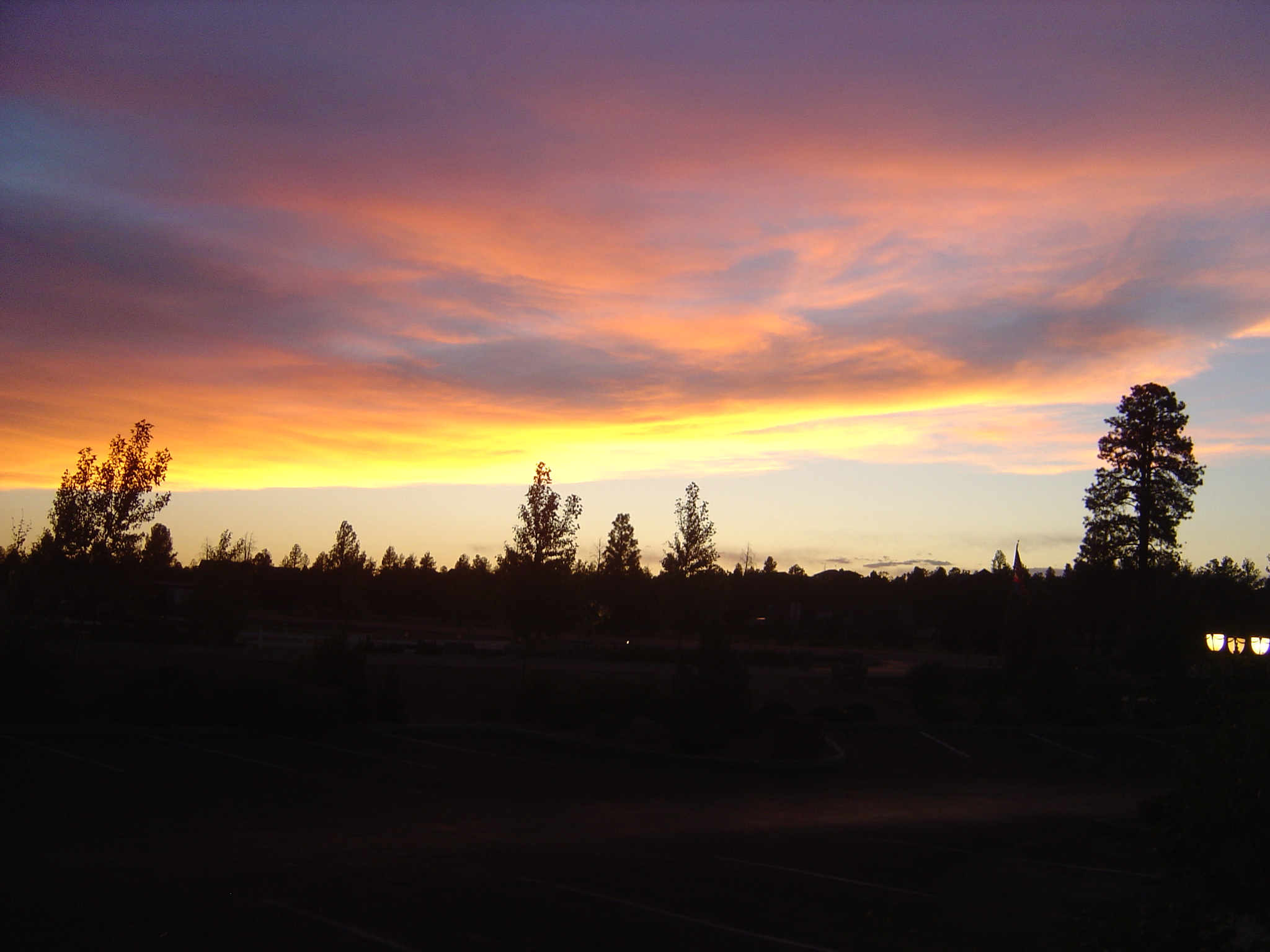
Bison Ranch Sunset

Approaching Storm
IMG_4866.CR2
IMG_4850.CR2

IMG_4832.CR2
IMG_4831.CR2

IMG_4829.CR2
Topographic Map of Thunderbird Way, Heber, AZ, USA
Find elevation by address:

Places near Thunderbird Way, Heber, AZ, USA:
2800 Sky Hawk Dr
2729 Bison Ranch Rd
Bison Ranch Condos
Bison Ranch Retreat Center
2865 Buck Ln
2237 Chevelon Rd
2714 Stagecoach Blvd
2213 Rodeo Rd
Overgaard
3330 Navajo Dr
Navajo Drive
Heber-overgaard
2772 Canyon Ridge
2085 Ponderosa Tr
2712 Lost Way
1975 Artist Draw Rd
3667 Pine Rim Dr
Heber
1775 Canyon Dr
3323 Bear Heights
Recent Searches:
- Elevation of Lampiasi St, Sarasota, FL, USA
- Elevation of Elwyn Dr, Roanoke Rapids, NC, USA
- Elevation of Congressional Dr, Stevensville, MD, USA
- Elevation of Bellview Rd, McLean, VA, USA
- Elevation of Stage Island Rd, Chatham, MA, USA
- Elevation of Shibuya Scramble Crossing, 21 Udagawacho, Shibuya City, Tokyo -, Japan
- Elevation of Jadagoniai, Kaunas District Municipality, Lithuania
- Elevation of Pagonija rock, Kranto 7-oji g. 8"N, Kaunas, Lithuania
- Elevation of Co Rd 87, Jamestown, CO, USA
- Elevation of Tenjo, Cundinamarca, Colombia