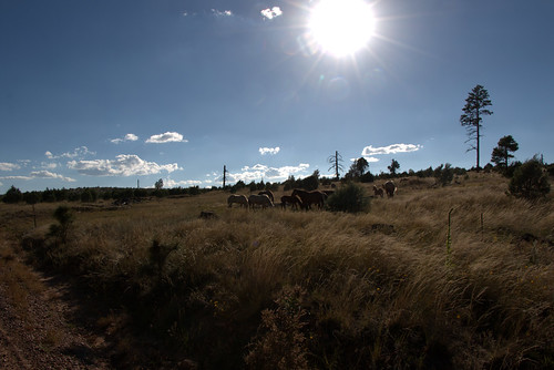
Elevation of Highland Dr, Heber, AZ, USA
Location: United States > Arizona > Navajo County >
Longitude: -110.62314
Latitude: 34.435661
Elevation: -10000m / -32808feet
Barometric Pressure: 295KPa
Related Photos:
Topographic Map of Highland Dr, Heber, AZ, USA
Find elevation by address:

Places near Highland Dr, Heber, AZ, USA:
1748 Memorial Park Rd
3323 Bear Heights
1775 Canyon Dr
Heber
3667 Pine Rim Dr
1975 Artist Draw Rd
Heber-overgaard
2085 Ponderosa Tr
2772 Canyon Ridge
Arizona 260
2712 Lost Way
Navajo Drive
3330 Navajo Dr
2865 Buck Ln
2237 Chevelon Rd
Overgaard
2213 Rodeo Rd
2714 Stagecoach Blvd
2800 Sky Hawk Dr
2294 Thunderbird Way
Recent Searches:
- Elevation of 62 Abbey St, Marshfield, MA, USA
- Elevation of Fernwood, Bradenton, FL, USA
- Elevation of Felindre, Swansea SA5 7LU, UK
- Elevation of Leyte Industrial Development Estate, Isabel, Leyte, Philippines
- Elevation of W Granada St, Tampa, FL, USA
- Elevation of Pykes Down, Ivybridge PL21 0BY, UK
- Elevation of Jalan Senandin, Lutong, Miri, Sarawak, Malaysia
- Elevation of Bilohirs'k
- Elevation of 30 Oak Lawn Dr, Barkhamsted, CT, USA
- Elevation of Luther Road, Luther Rd, Auburn, CA, USA


