Elevation of Havillah Rd, Tonasket, WA, USA
Location: United States > Washington > Okanogan County > Tonasket >
Longitude: -119.18468
Latitude: 48.862153
Elevation: 1433m / 4701feet
Barometric Pressure: 85KPa
Elevation Map:
Satellite Map:
Related Photos:
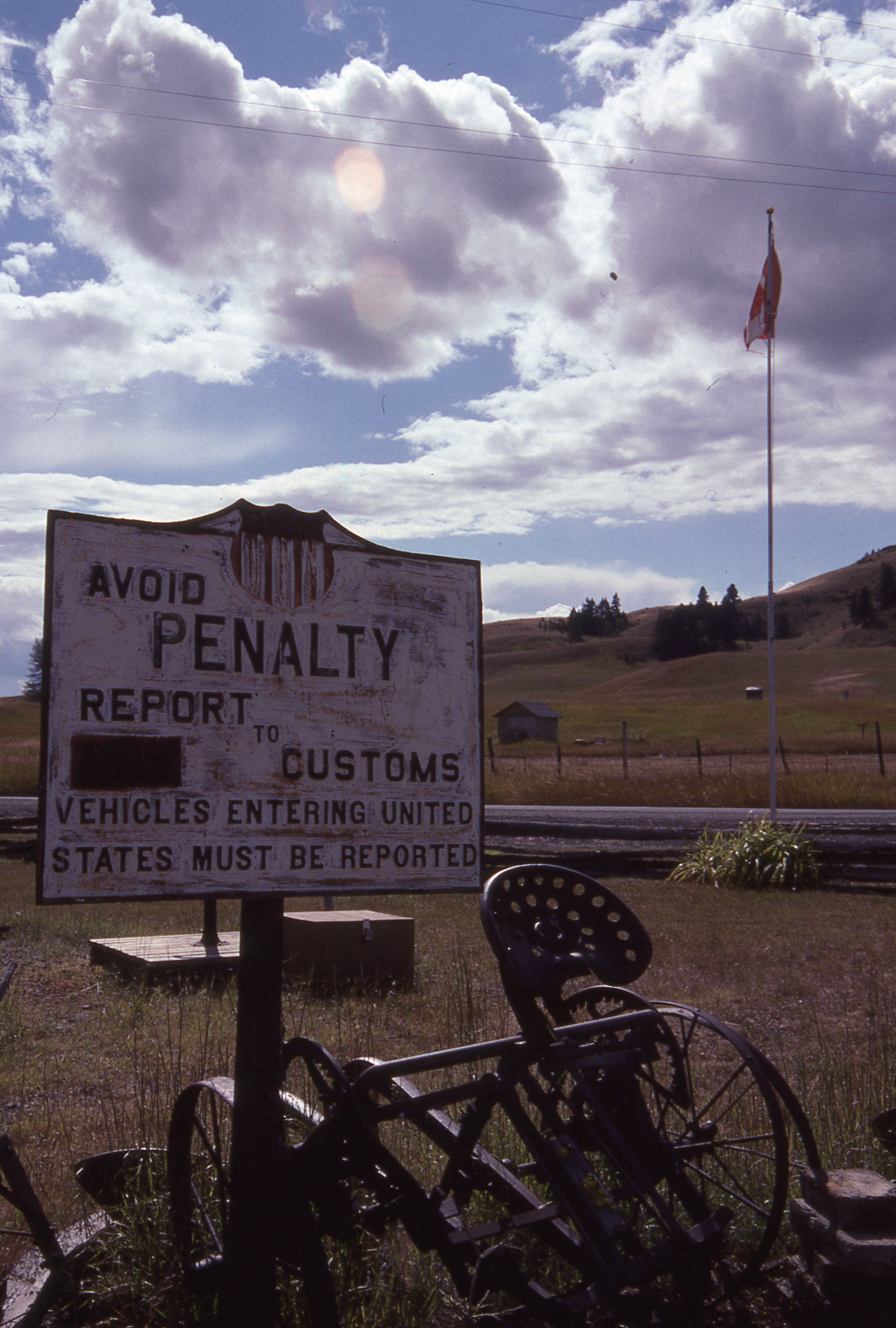
Those strange American customs
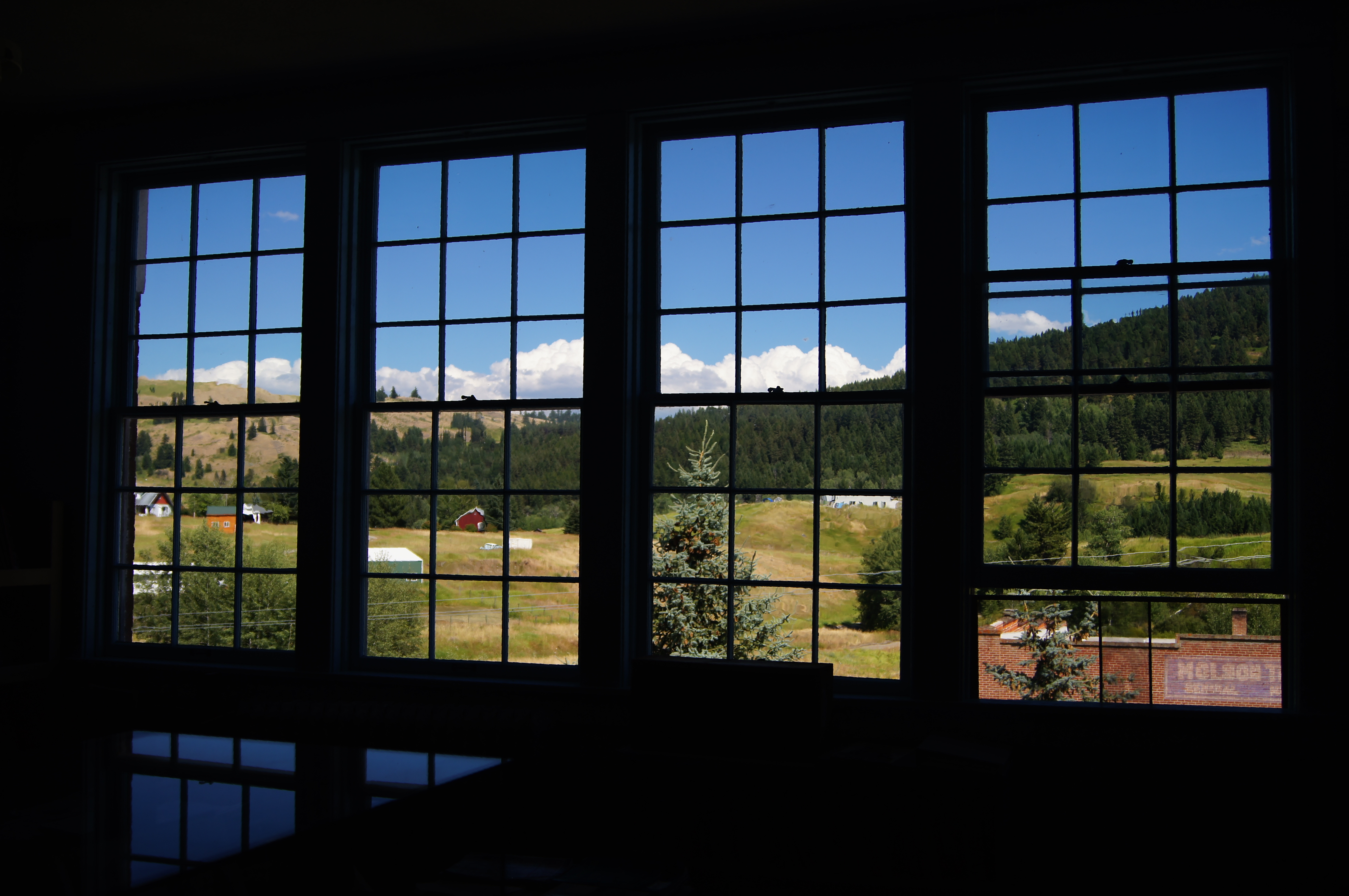
School room views
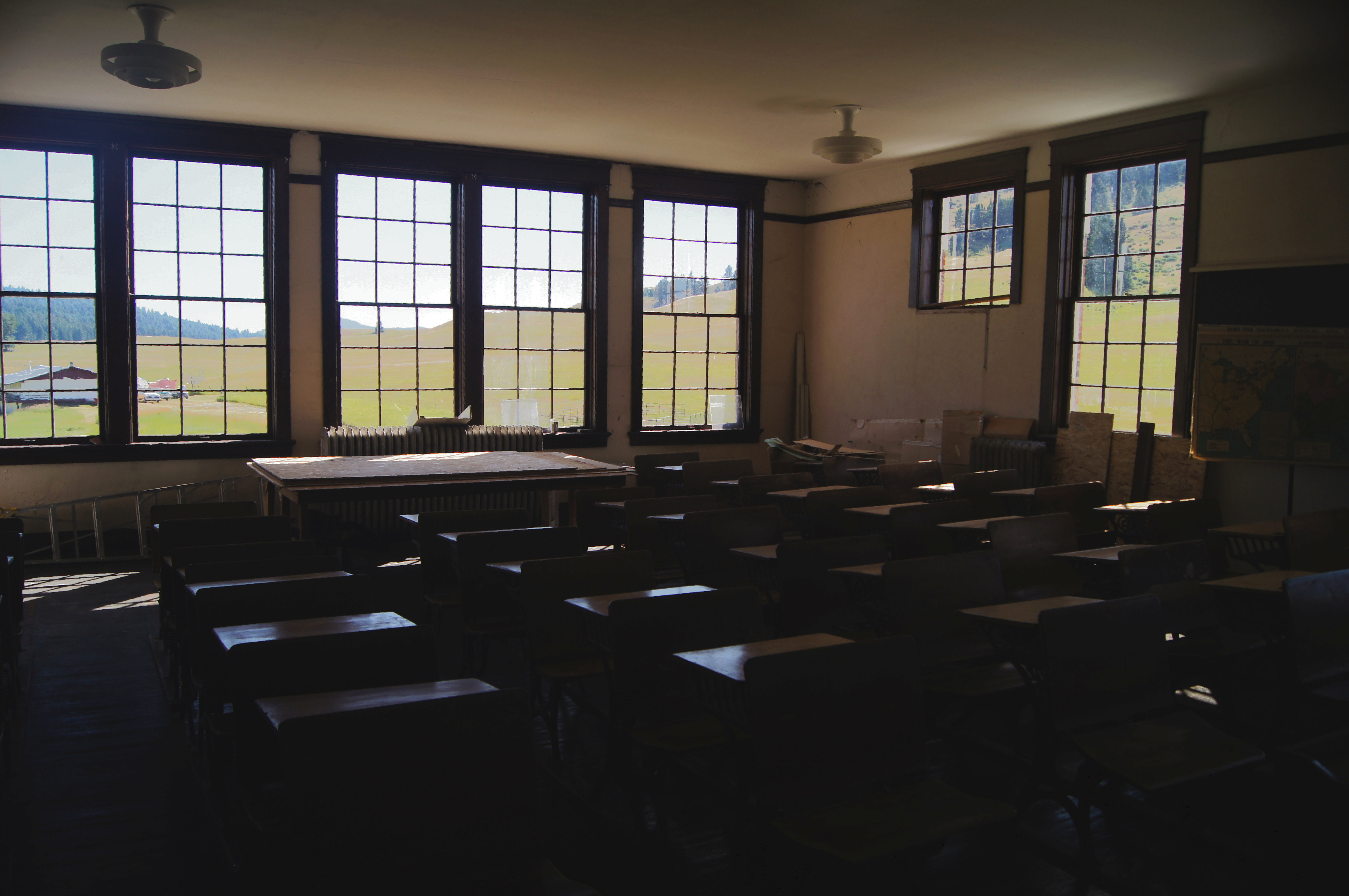
School room views

Gray-crowned Rosy-Finches (detail)

Okanogan Winter
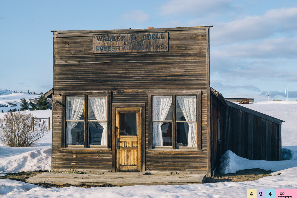
No Longer In Service

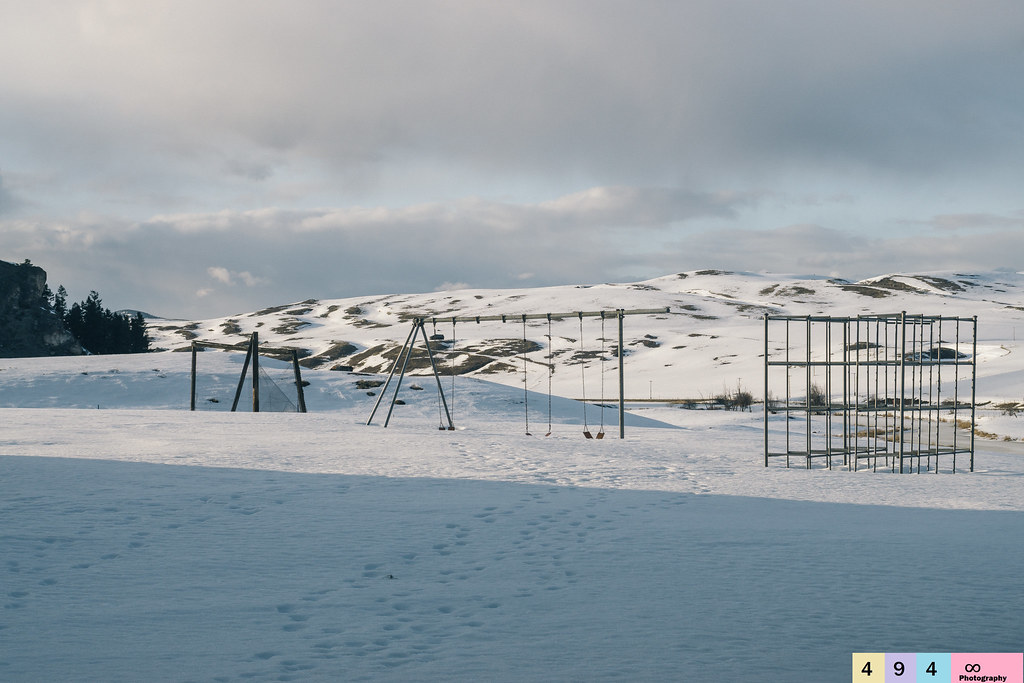
Snowed In For the Season
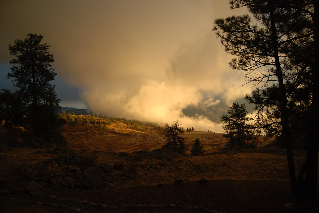
10-17-2009 Clouds (6)

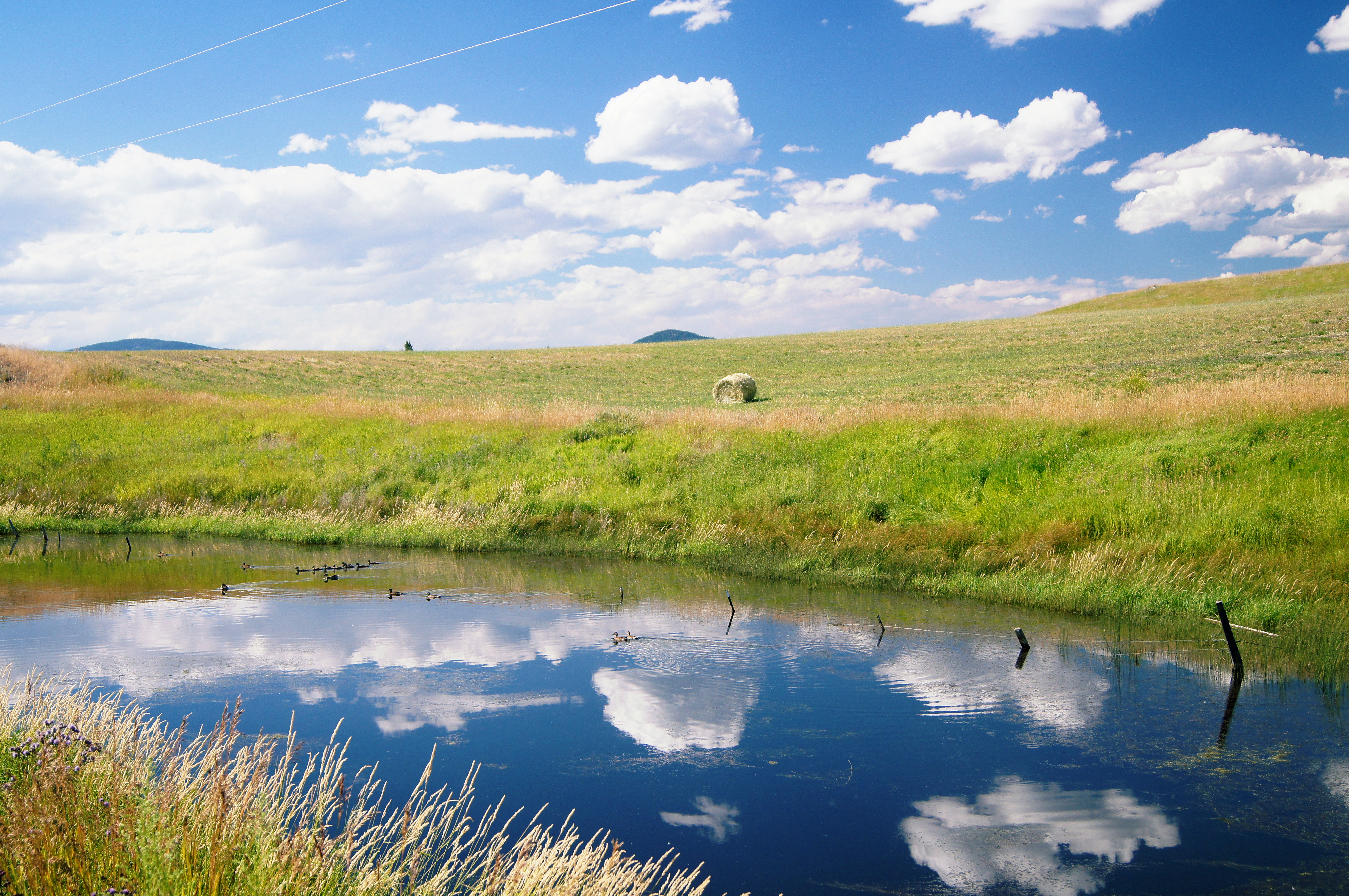
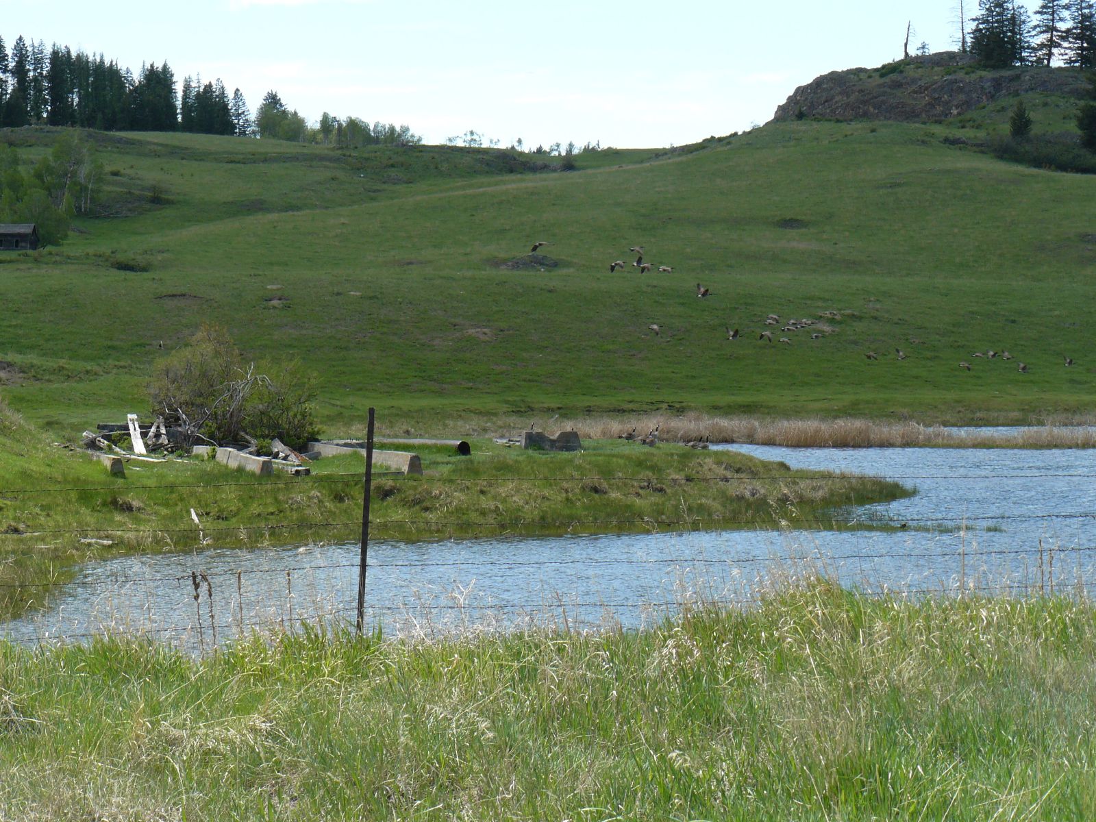
Beaver Pond
Reminiscing On Past Adolescent Experiences
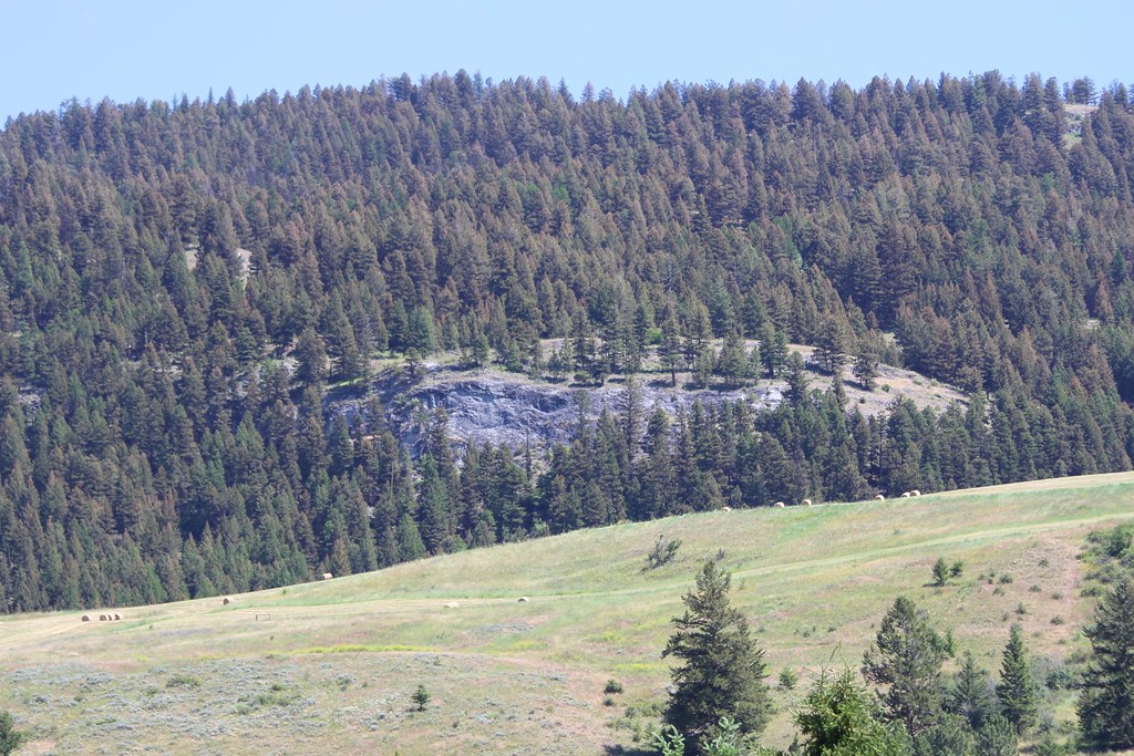
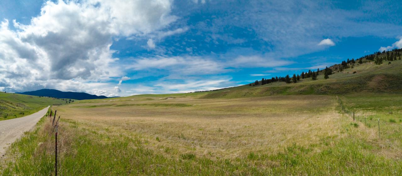
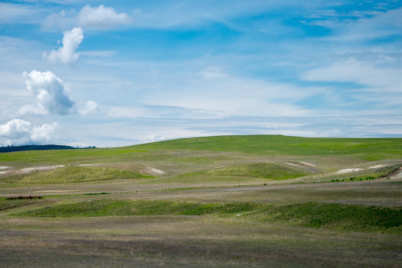
Okanogan high country
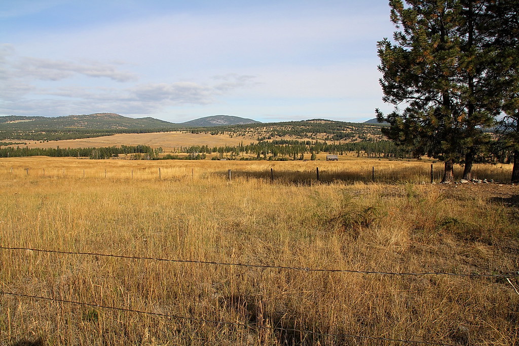
Open Country
Haufle Cousins Camping 2011 5981
United States - Canada Border
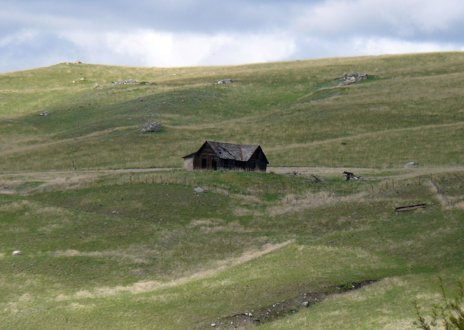
Distant Houses
House in the Highlands
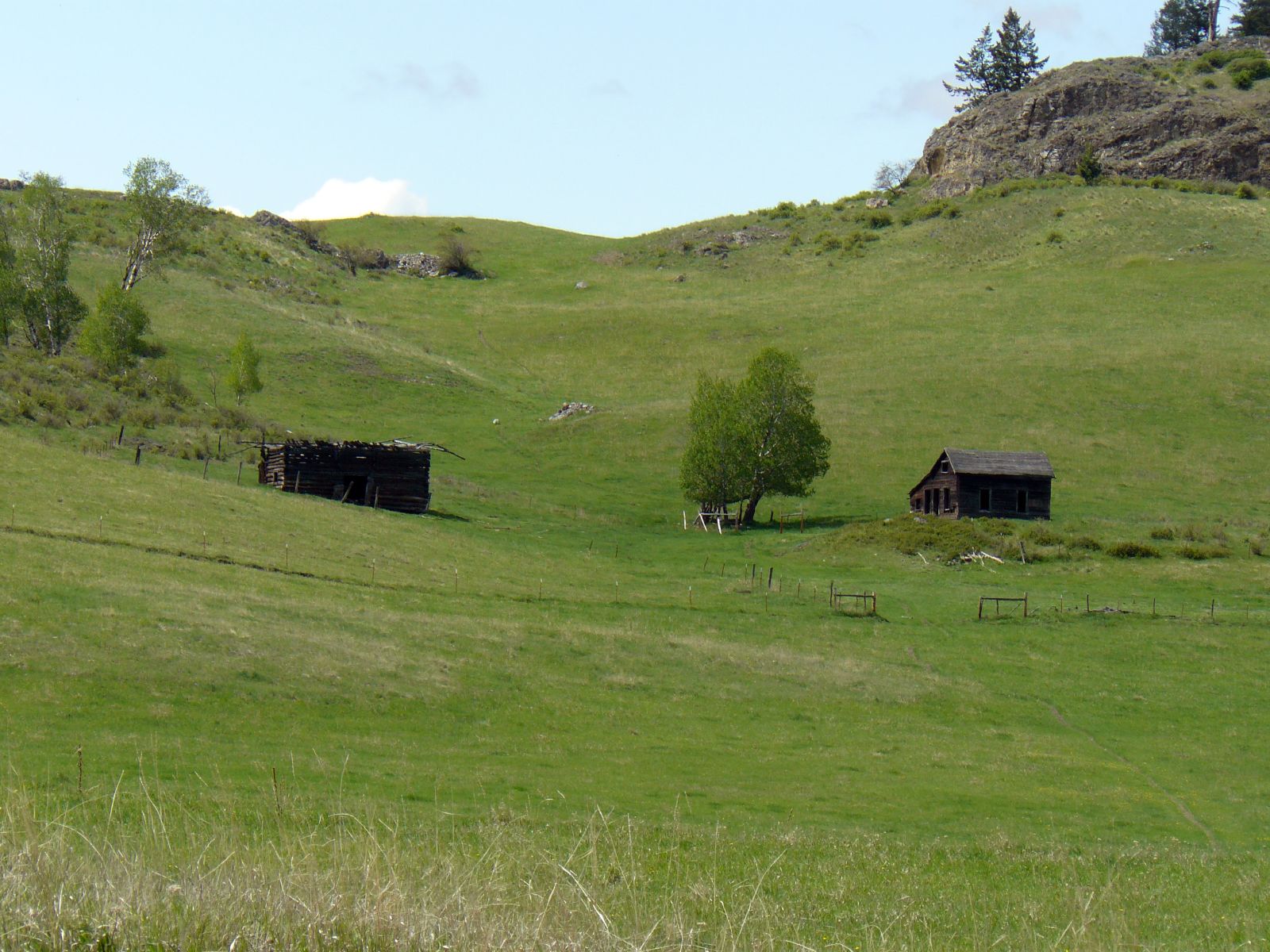
Distant Houses
Rail related structure?
Grassy hills above Dry Gulch Road near Havillah, Washington
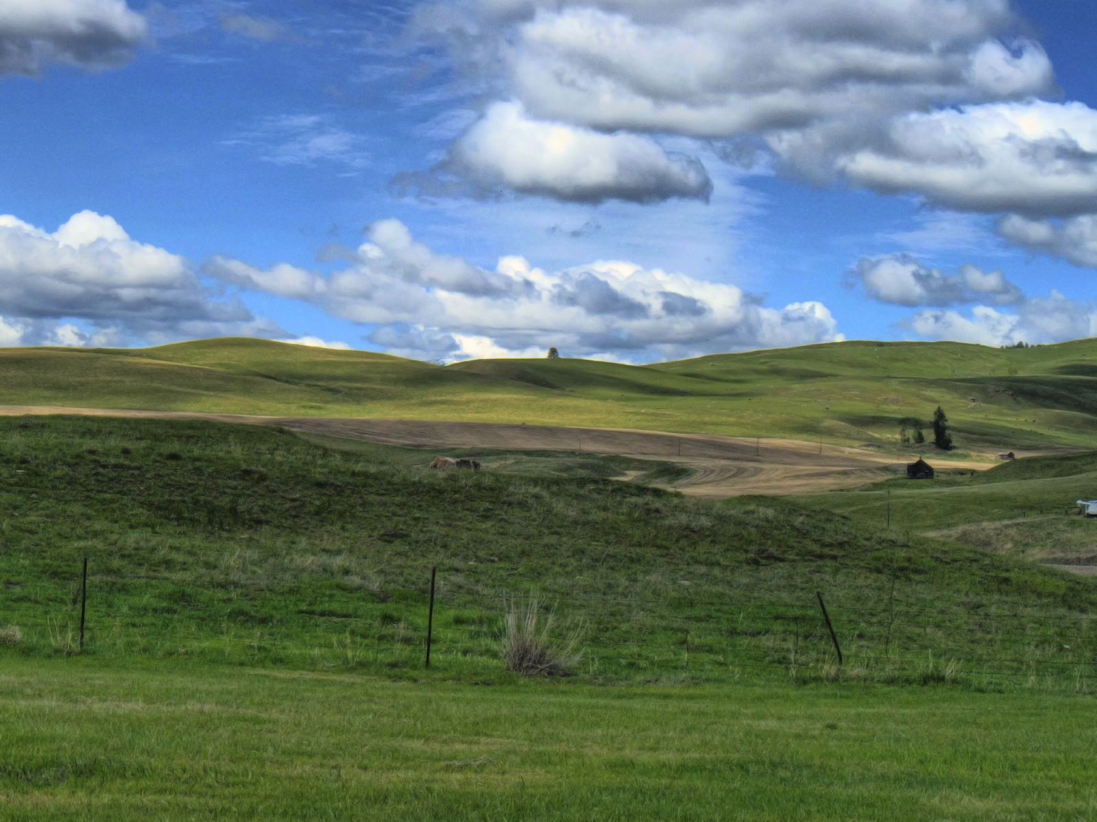
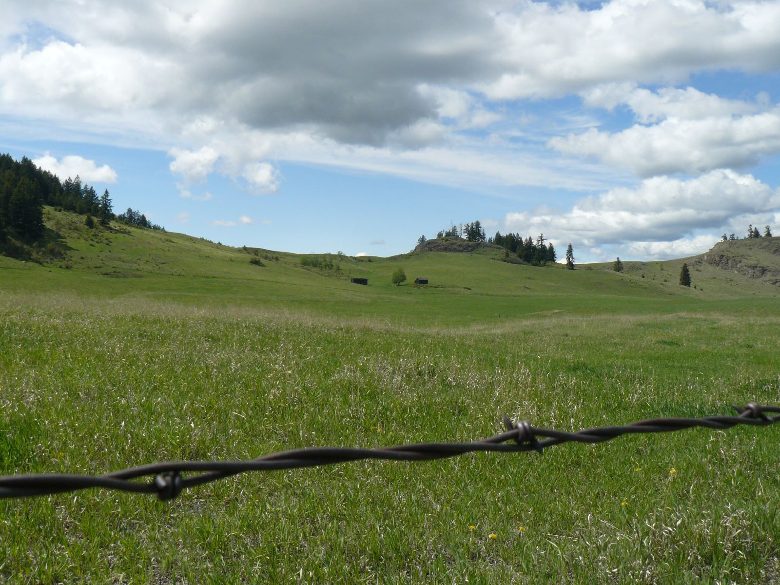
Rolling hills of Eastern Washington near Havillah

Looking down Bonaparte Creek from the Pacific Northwest Trail just above Bonaparte Lake
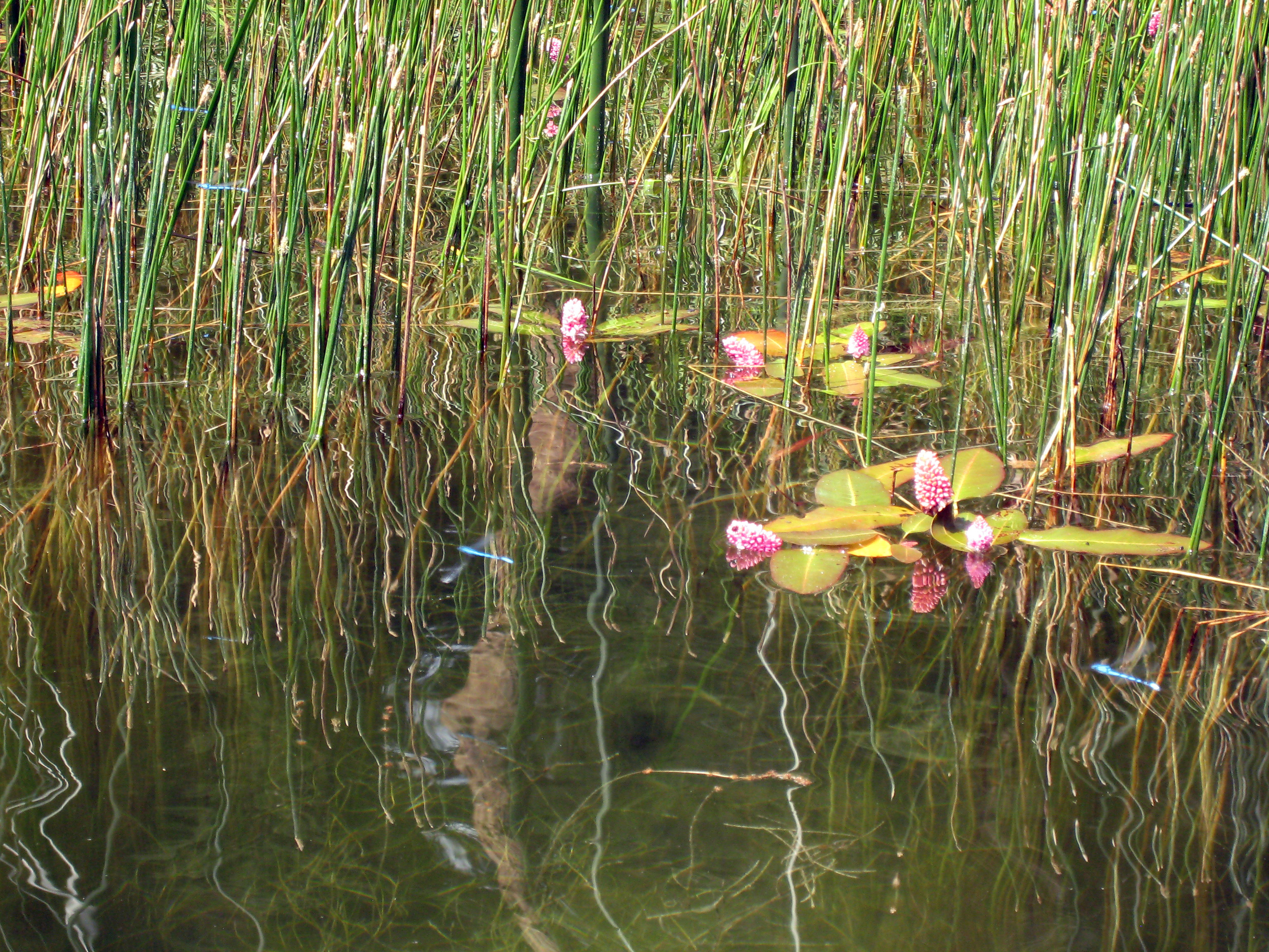
Dragonflys and floating flowers

The Pacific Northwest Trail (two track) disappears into the woods on the east side of Mt. Hull
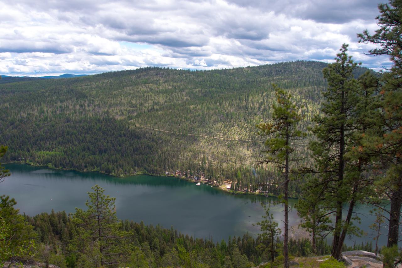
Clouds moving in over Bonaparte Lake
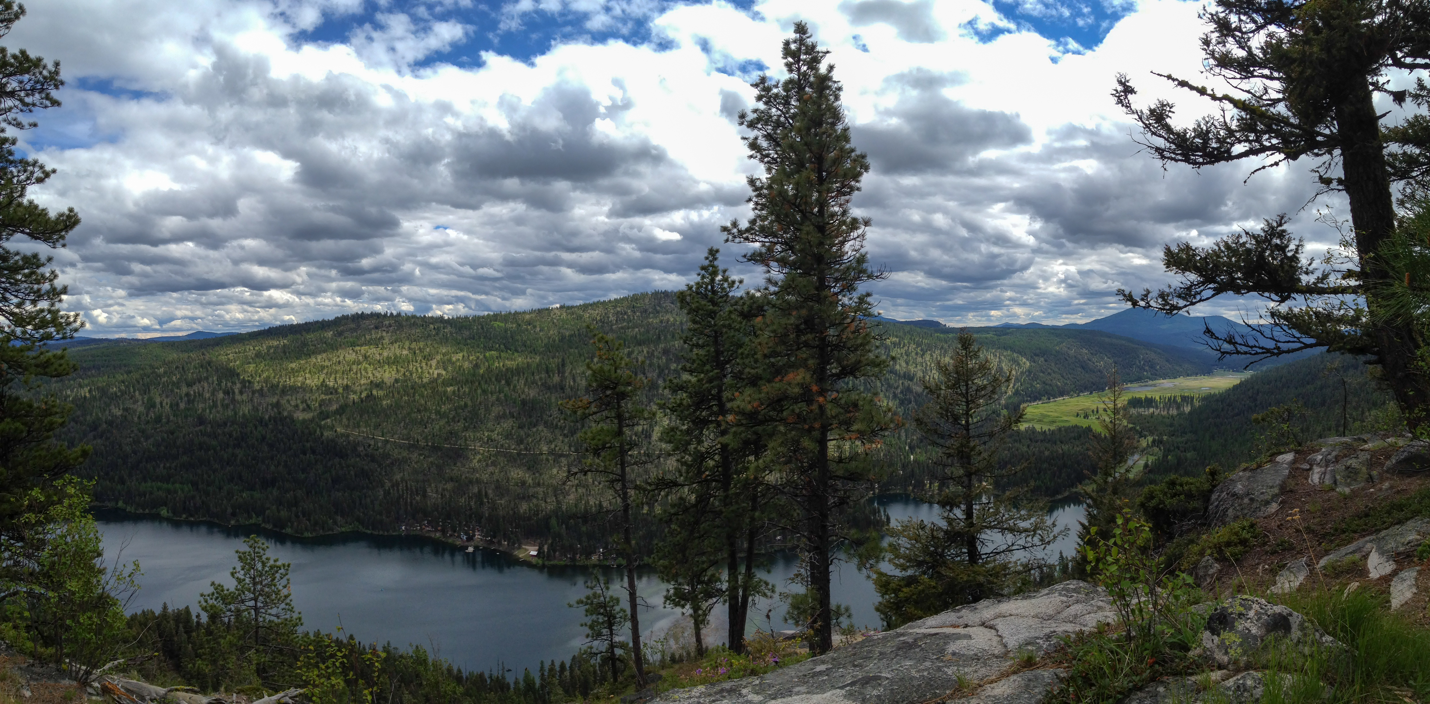
Bonaparte Lake and the Bonaparte Lake Resort from the Pacific Northwest Trail
Topographic Map of Havillah Rd, Tonasket, WA, USA
Find elevation by address:

Places near Havillah Rd, Tonasket, WA, USA:
Havillah
80 Old Burnham Rd
West Lost Lake Road
Highlands Sno-park
1155a Chesaw Rd
1155a Chesaw Rd A
288 Hungry Hollow Rd
1155b Chesaw Rd
40 Turner Homestead Rd
428 Nealey Rd
106 Turner Homestead Rd
106 Bartroff Rd
75 Cougar Canyon Rd
North Ridge Road
Molson
9 Mile Rd, Oroville, WA, USA
646 Swanson Mill Rd
18 Amanda Rd
16 Summit Lake Rd
102 Corral Dr
Recent Searches:
- Elevation of Beall Road, Beall Rd, Florida, USA
- Elevation of Leguwa, Nepal
- Elevation of County Rd, Enterprise, AL, USA
- Elevation of Kolchuginsky District, Vladimir Oblast, Russia
- Elevation of Shustino, Vladimir Oblast, Russia
- Elevation of Lampiasi St, Sarasota, FL, USA
- Elevation of Elwyn Dr, Roanoke Rapids, NC, USA
- Elevation of Congressional Dr, Stevensville, MD, USA
- Elevation of Bellview Rd, McLean, VA, USA
- Elevation of Stage Island Rd, Chatham, MA, USA