Elevation of B Chesaw Rd, Oroville, WA, USA
Location: United States > Washington > Okanogan County > Oroville >
Longitude: -119.22242
Latitude: 48.9177454
Elevation: -10000m / -32808feet
Barometric Pressure: 295KPa
Elevation Map:
Satellite Map:
Related Photos:

Mountain Bluebird (Sialia currucoides)
View from my lunchspot today...

Those strange American customs

View from my lunchspot today...

Once Was . . .

View from my lunchspot today...

Aug 09 112

School room views

Aug 09 113
School room views

View from my lunchspot today...

Favourite Songs

Gray-crowned Rosy-Finches (detail)

IMG_9733 Gray-crowned Rosy-Finch - Leucosticte tephrocotis

Okanogan Winter

Beaver Pond

No Longer In Service

#ghosttown #washington #northwest

Osoyoos Under Blanket

Grassy hills above Dry Gulch Road near Havillah, Washington

10-17-2009 Clouds (6)

Snowed In For the Season

Fields of green.

Osoyoos Sunset

Okanogan high country

The Pacific Northwest Trail (two track) disappears into the woods on the east side of Mt. Hull
Idyllic scene along the Crowsnest Highway
Reminiscing On Past Adolescent Experiences

Old barn, country road

If you don't like the weather, take a drive

Open Country

Not Frank Lloyd Wright

Sunset in Okanogan Highlands

United States - Canada Border
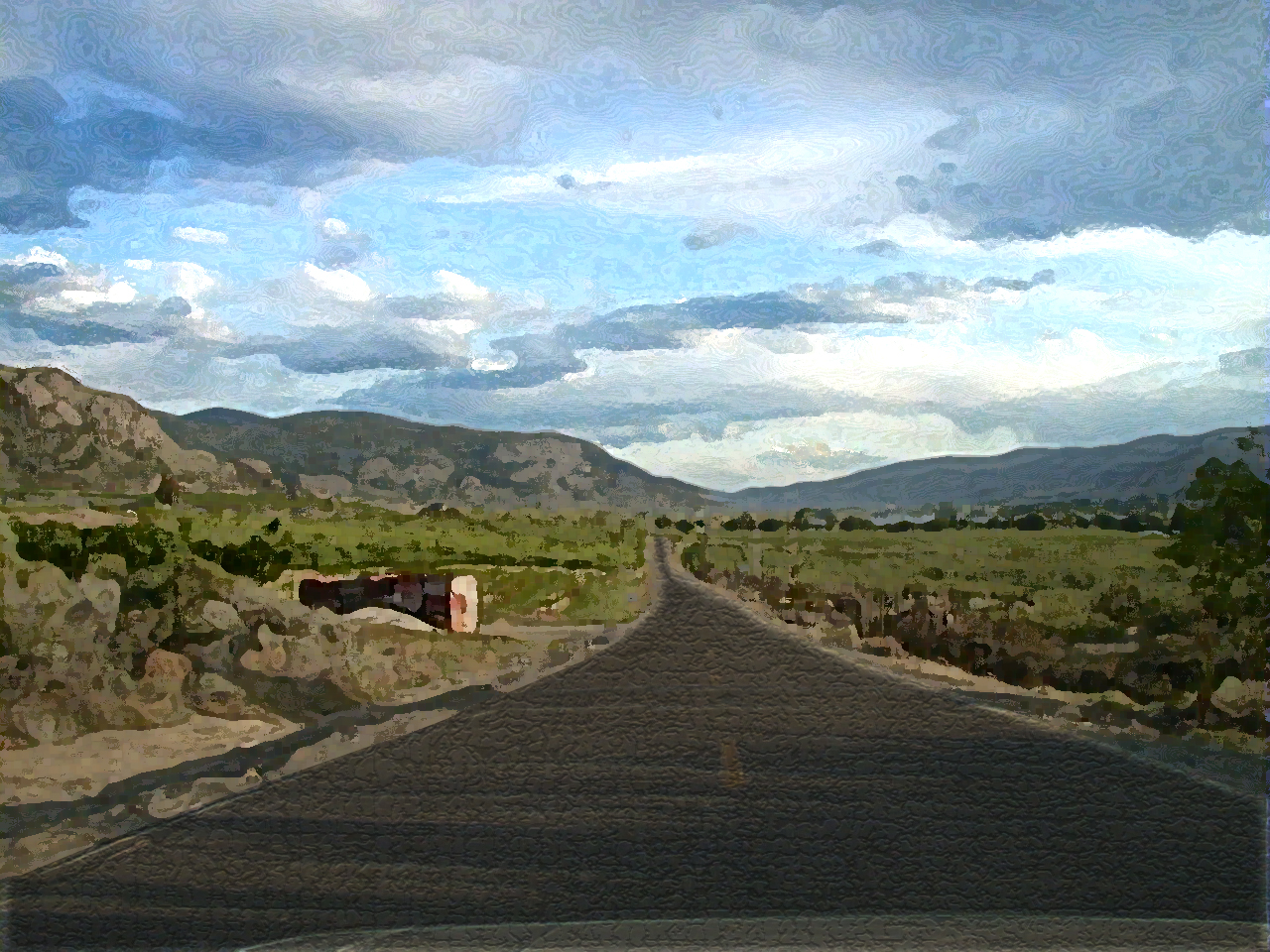
Down the road...
Topographic Map of B Chesaw Rd, Oroville, WA, USA
Find elevation by address:

Places near B Chesaw Rd, Oroville, WA, USA:
1155a Chesaw Rd
1155a Chesaw Rd A
80 Old Burnham Rd
Molson
9 Mile Rd, Oroville, WA, USA
18 Amanda Rd
102 Corral Dr
Wagonwheel Road
6380 Sidley Mountain Rd
6380 Sidley Mountain Rd
6401 Sidley Mountain Rd
Kelly Road
West Corral Road
220 Caribou Cres
Caribou Crescent
110 Caribou Cres
896 Ravenhill Rd
141 Falcon Pl
295 Sasquatch Trail
Mule Deer Drive
Recent Searches:
- Elevation of W Granada St, Tampa, FL, USA
- Elevation of Pykes Down, Ivybridge PL21 0BY, UK
- Elevation of Jalan Senandin, Lutong, Miri, Sarawak, Malaysia
- Elevation of Bilohirs'k
- Elevation of 30 Oak Lawn Dr, Barkhamsted, CT, USA
- Elevation of Luther Road, Luther Rd, Auburn, CA, USA
- Elevation of Unnamed Road, Respublika Severnaya Osetiya — Alaniya, Russia
- Elevation of Verkhny Fiagdon, North Ossetia–Alania Republic, Russia
- Elevation of F. Viola Hiway, San Rafael, Bulacan, Philippines
- Elevation of Herbage Dr, Gulfport, MS, USA