Elevation of A Chesaw Rd A, Oroville, WA, USA
Location: United States > Washington > Okanogan County > Oroville >
Longitude: -119.21932
Latitude: 48.913116
Elevation: 1069m / 3507feet
Barometric Pressure: 89KPa
Elevation Map:
Satellite Map:
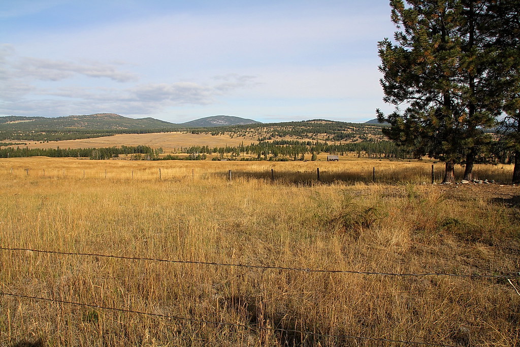
Related Photos:
Mountain Bluebird (Sialia currucoides)
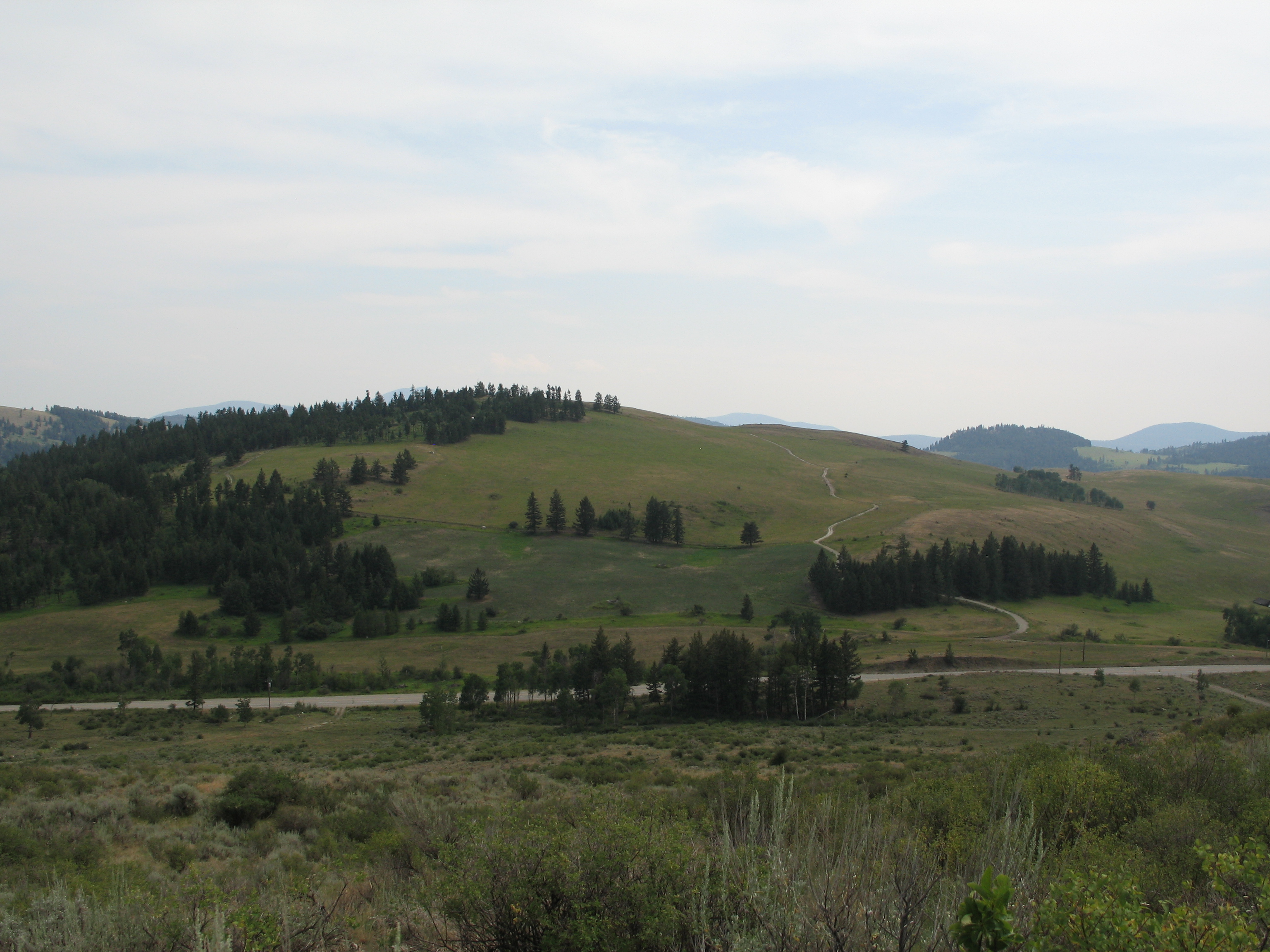
View from my lunchspot today (part one)
View from my lunchspot today...
View from my lunchspot today...

View from my lunchspot today (part two)...
Those strange American customs
View from my lunchspot today... Someone watching me watching her...
Aug 09 114
View from my lunchspot today...
Aug 09 112
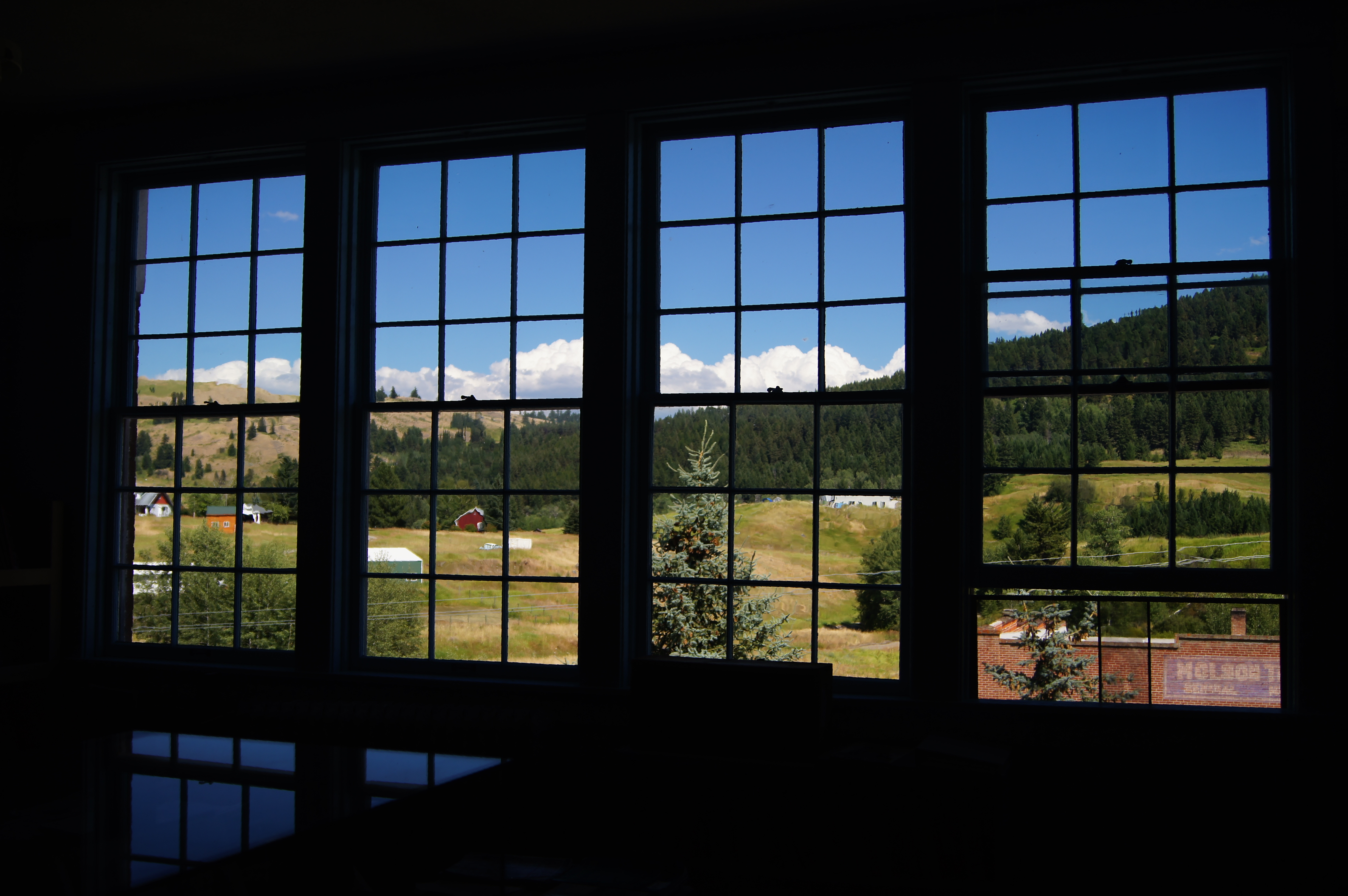
School room views

Aug 09 113
Aug 09 083
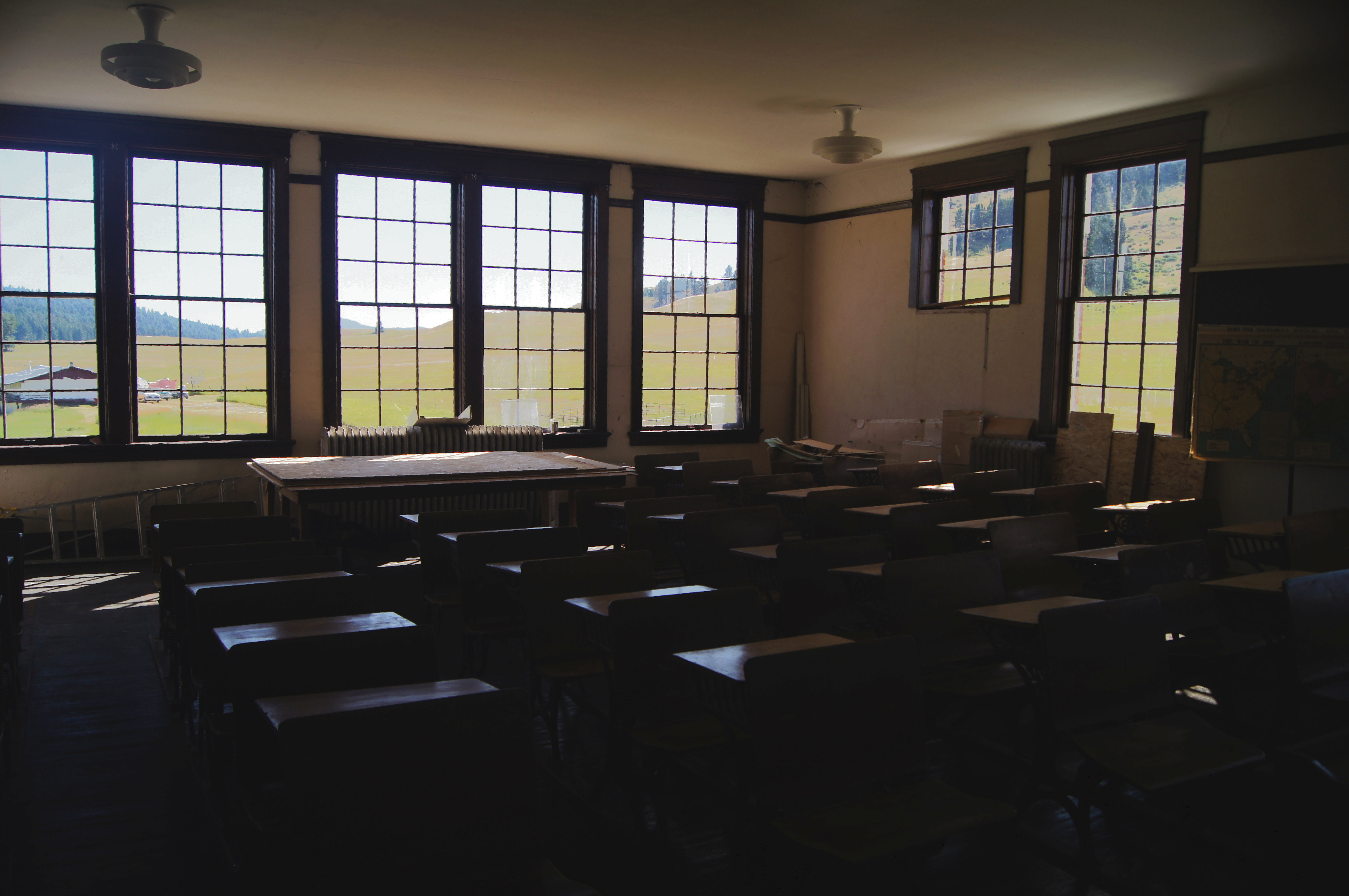
School room views

View from my lunchspot today...
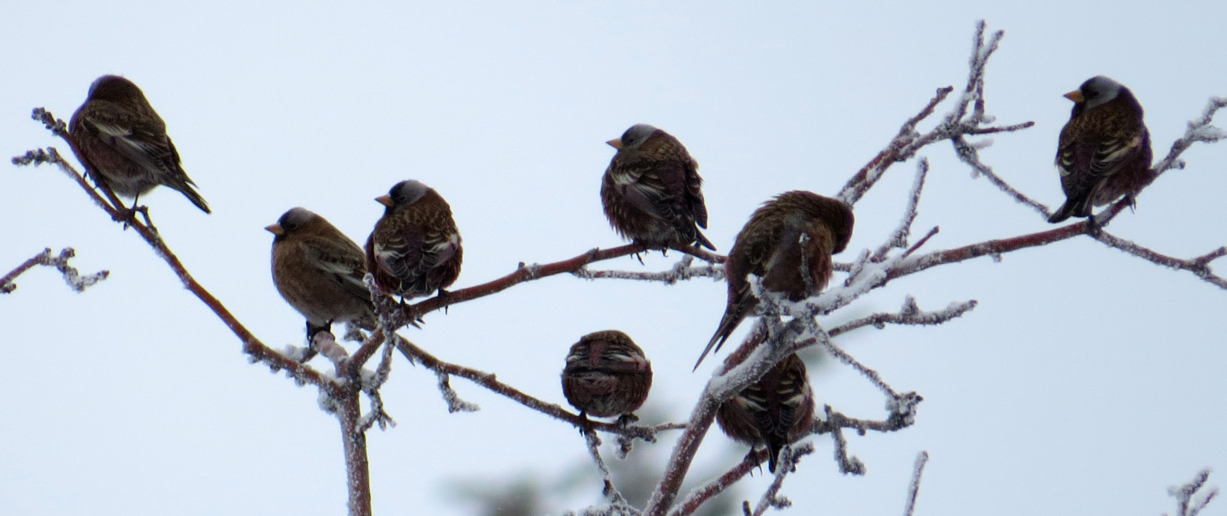
Gray-crowned Rosy-Finches (detail)

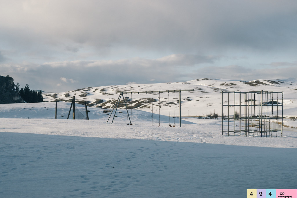
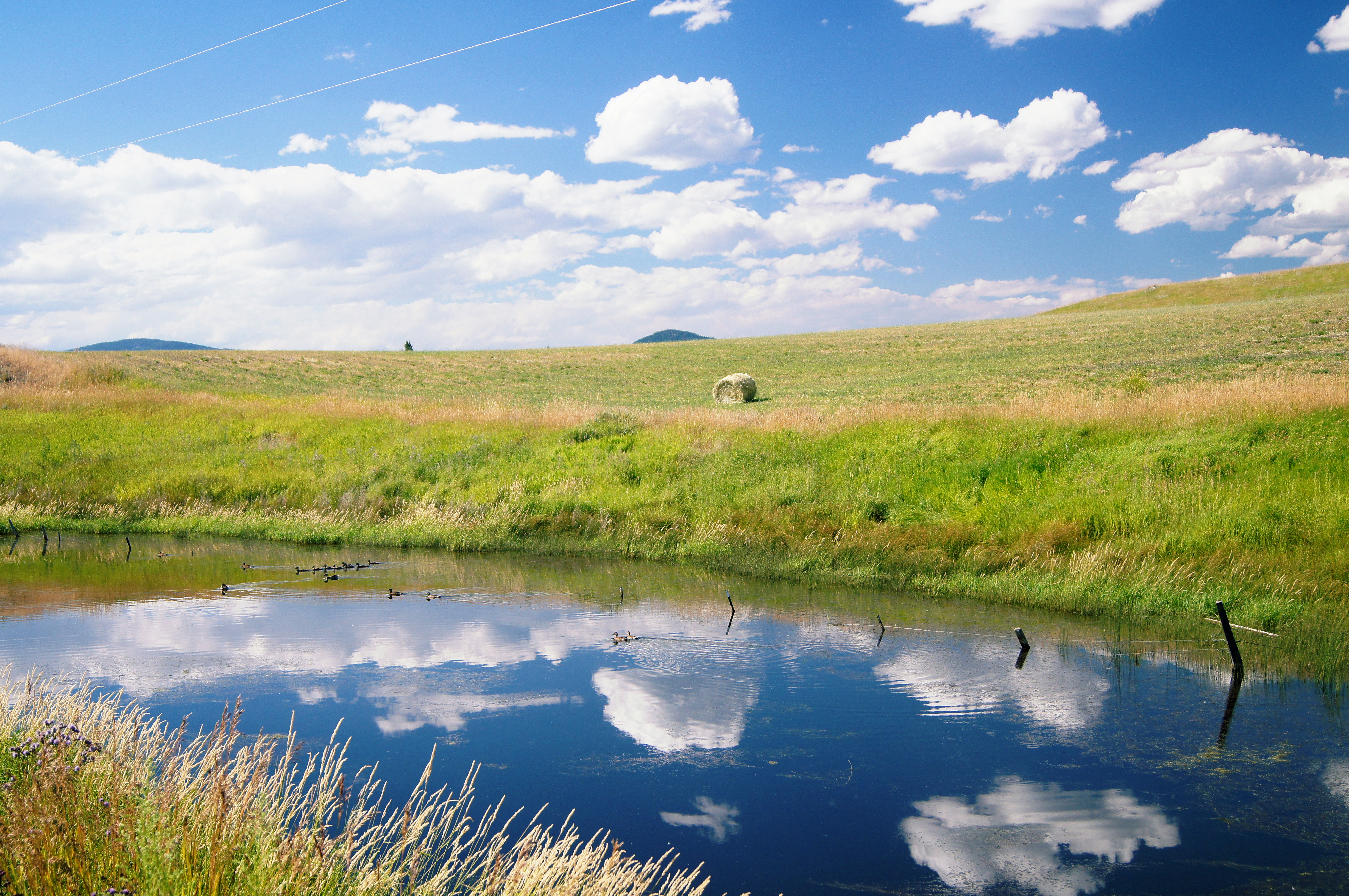
Okanogan Winter
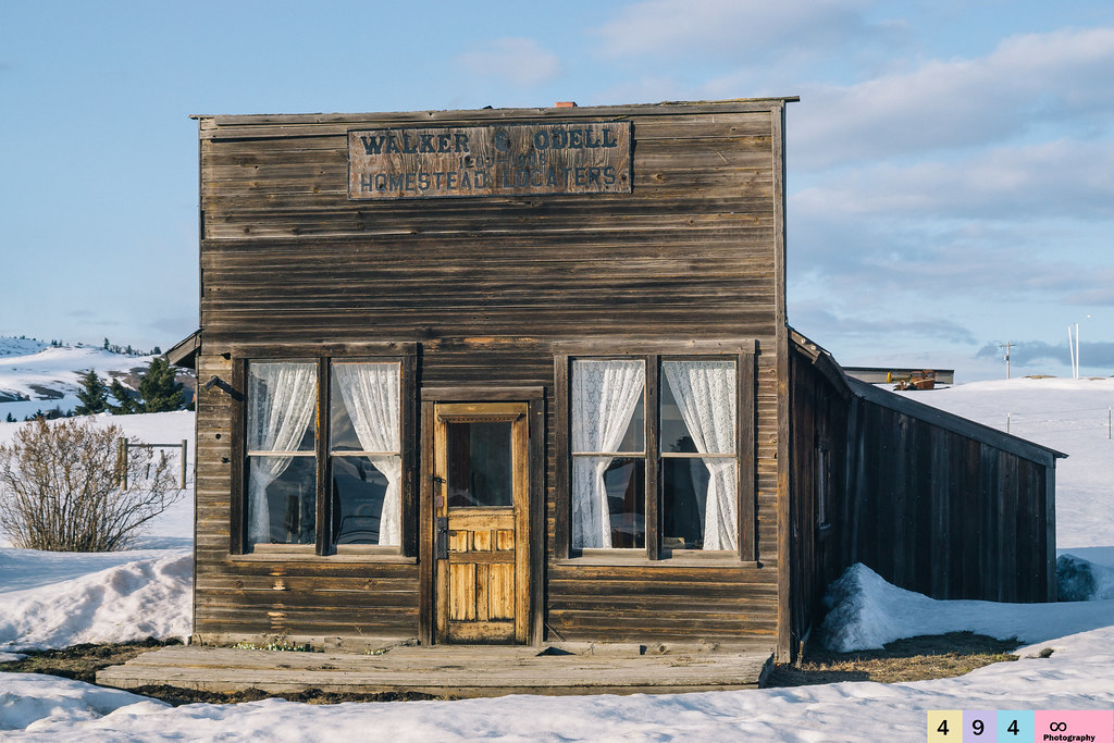
No Longer In Service

Snowed In For the Season
10-17-2009 Clouds (6)
Whistler Canyon trailhead of the Pacific Northwest Trail, near Oroville, Washington
Rolling hills of Eastern Washington near Havillah

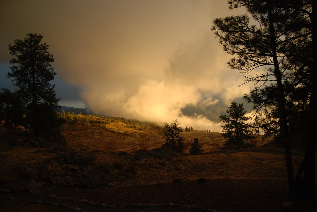
Sunset in Okanogan Highlands

Osoyoos Sunset
Reminiscing On Past Adolescent Experiences
Idyllic scene along the Crowsnest Highway
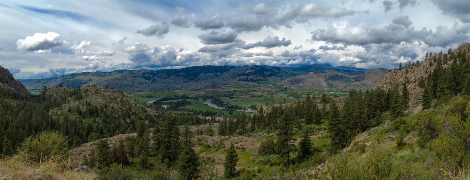
The Okanogan River Valley from the Pacific Northwest Trail above Whistler Canyon
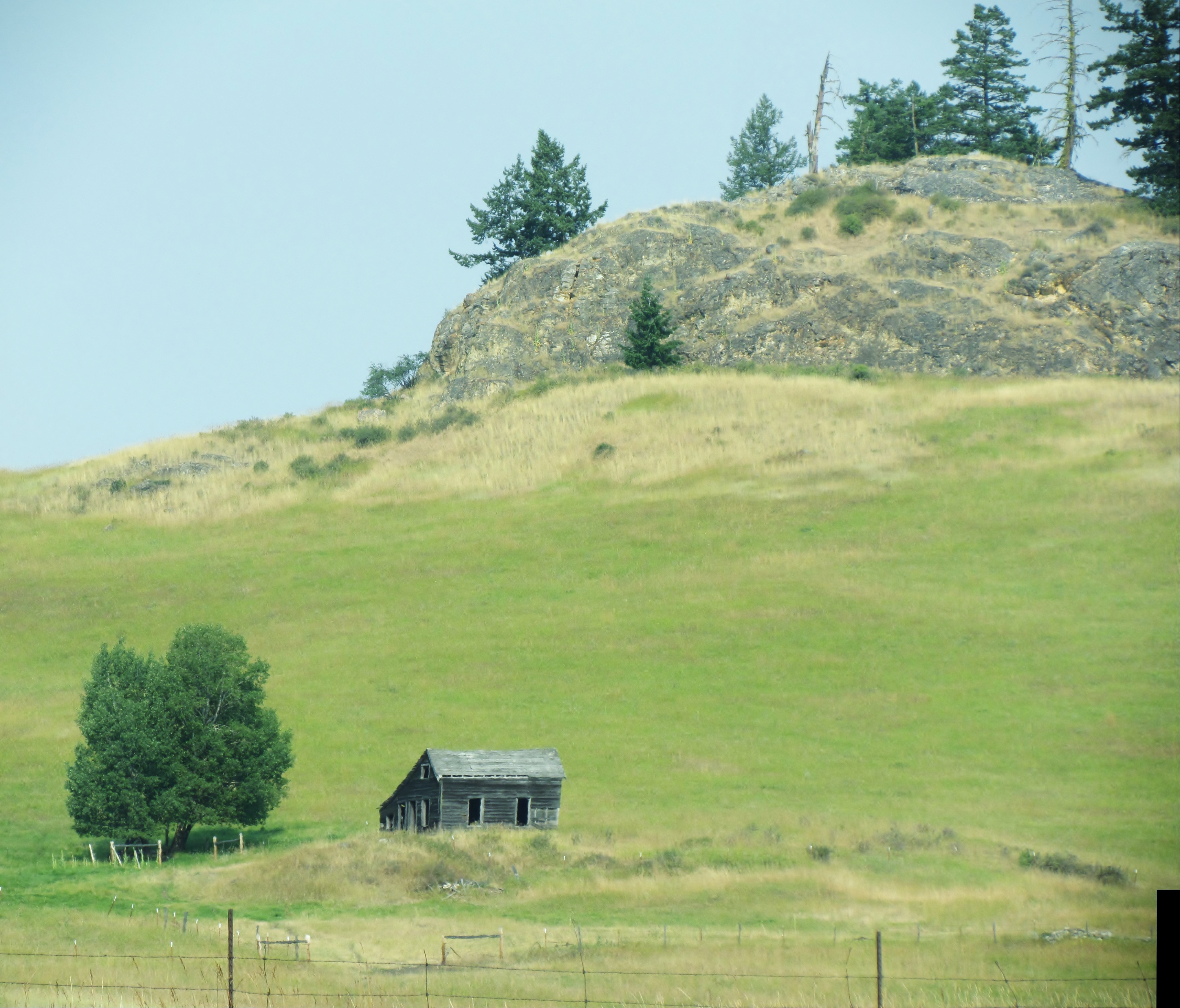
Not Frank Lloyd Wright

#ghosttown #washington #northwest

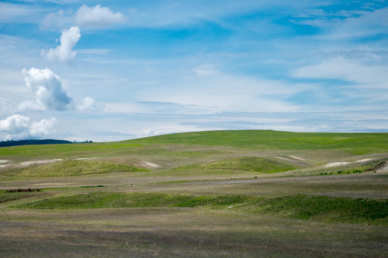
Fields of green.
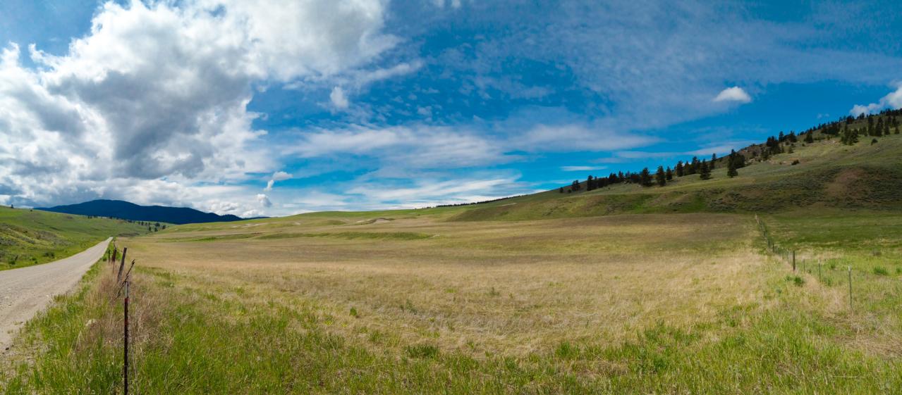
Grassy hills above Dry Gulch Road near Havillah, Washington
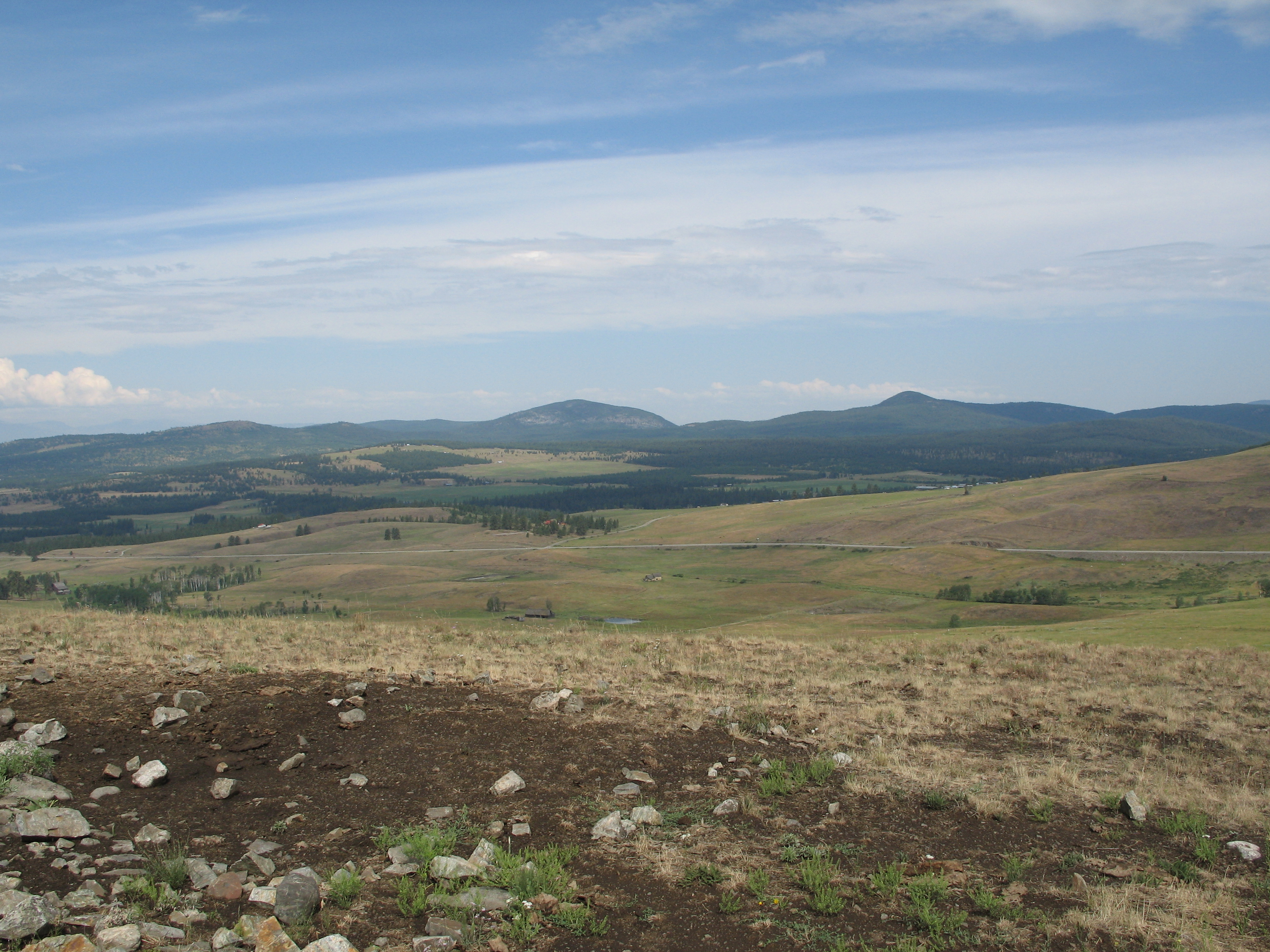
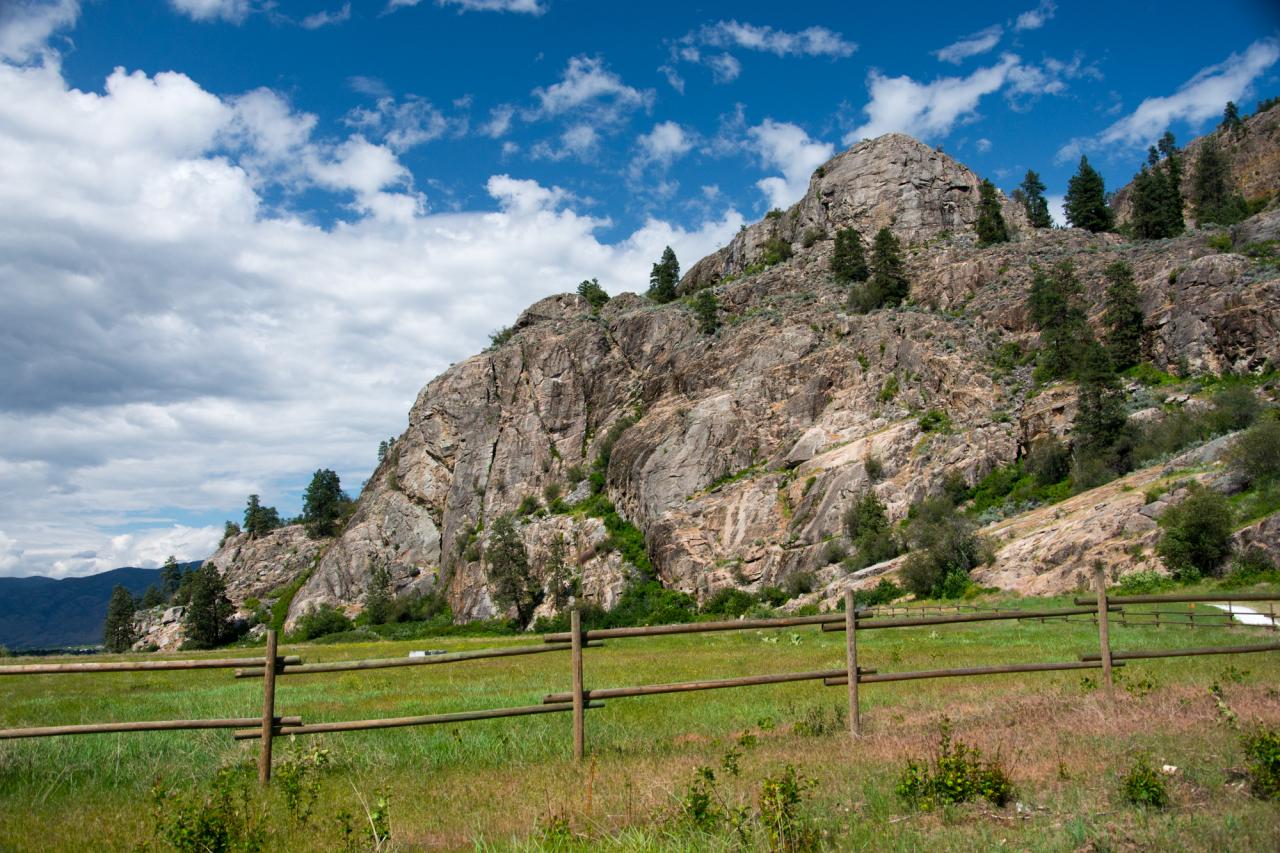
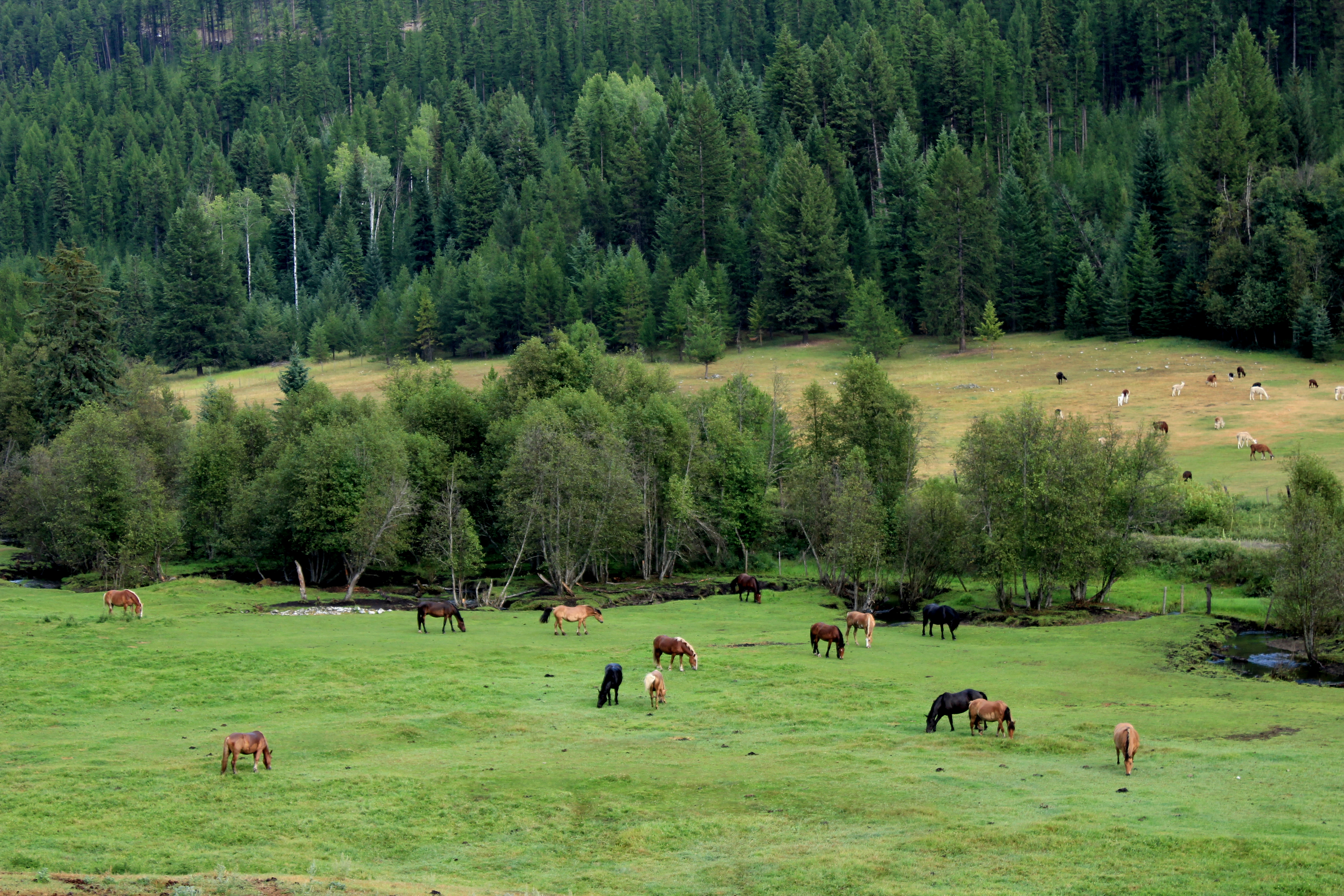
Okanogan high country

The Pacific Northwest Trail (two track) disappears into the woods on the east side of Mt. Hull

If you don't like the weather, take a drive
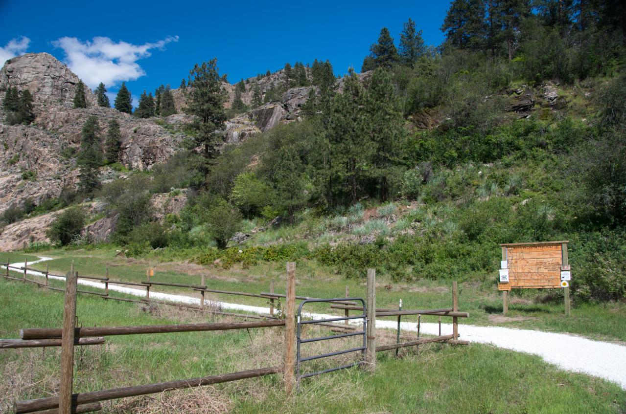
Whistler Canyon trailhead

1693267-R1-E013
United States - Canada Border
Topographic Map of A Chesaw Rd A, Oroville, WA, USA
Find elevation by address:

Places near A Chesaw Rd A, Oroville, WA, USA:
1155a Chesaw Rd
1155b Chesaw Rd
80 Old Burnham Rd
Molson
9 Mile Rd, Oroville, WA, USA
18 Amanda Rd
102 Corral Dr
Wagonwheel Road
6380 Sidley Mountain Rd
6380 Sidley Mountain Rd
6401 Sidley Mountain Rd
West Corral Road
Kelly Road
220 Caribou Cres
Caribou Crescent
110 Caribou Cres
896 Ravenhill Rd
141 Falcon Pl
295 Sasquatch Trail
Mule Deer Drive
Recent Searches:
- Elevation of Woolwine, VA, USA
- Elevation of Lumagwas Diversified Farmers Multi-Purpose Cooperative, Lumagwas, Adtuyon, RV32+MH7, Pangantucan, Bukidnon, Philippines
- Elevation of Homestead Ridge, New Braunfels, TX, USA
- Elevation of Orchard Road, Orchard Rd, Marlborough, NY, USA
- Elevation of 12 Hutchinson Woods Dr, Fletcher, NC, USA
- Elevation of Holloway Ave, San Francisco, CA, USA
- Elevation of Norfolk, NY, USA
- Elevation of - San Marcos Pass Rd, Santa Barbara, CA, USA
- Elevation of th Pl SE, Issaquah, WA, USA
- Elevation of 82- D Rd, Captain Cook, HI, USA