Elevation of Harvey St, Millen, GA, USA
Location: United States > Georgia > Jenkins County > Millen >
Longitude: -81.938243
Latitude: 32.807298
Elevation: 58m / 190feet
Barometric Pressure: 101KPa
Elevation Map:
Satellite Map:
Related Photos:

Getting a Good View

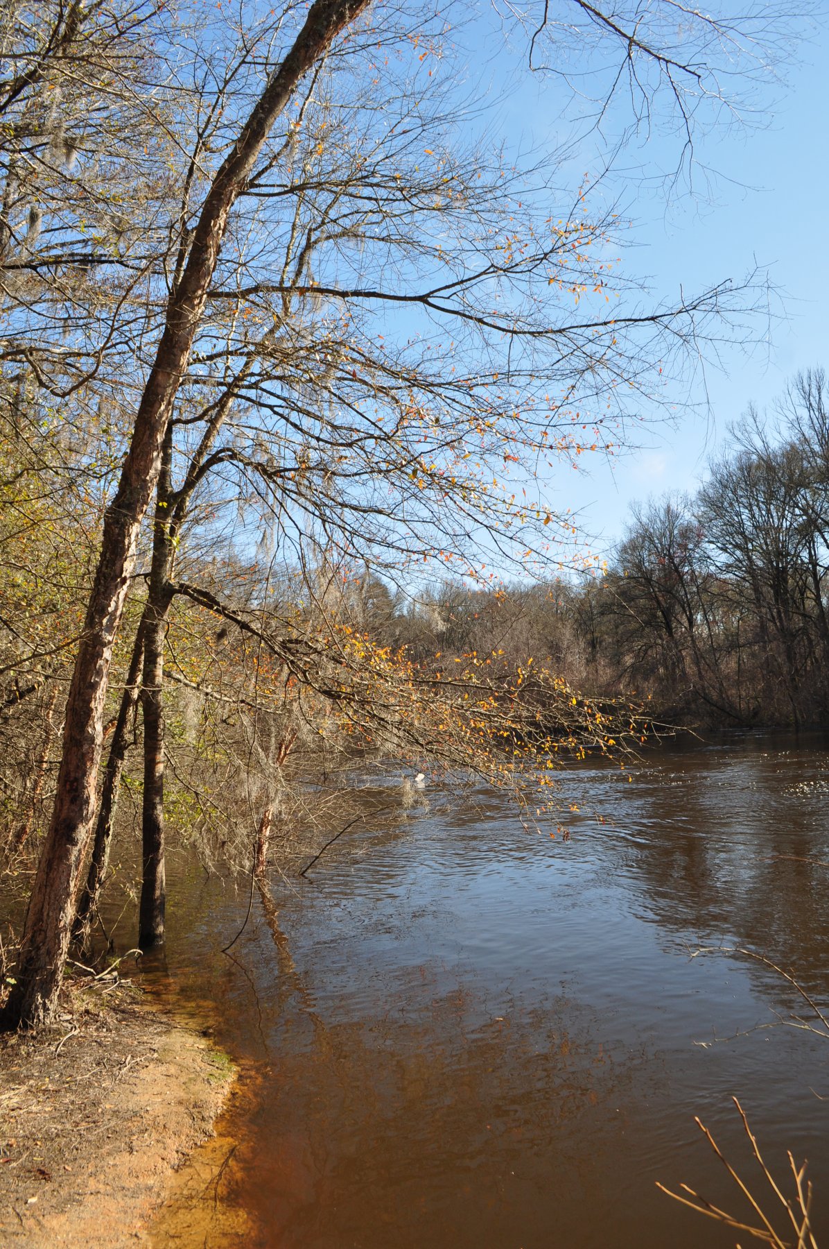
Ogeechee River at Millen, Georgia
Ogeechee River at Scarboro
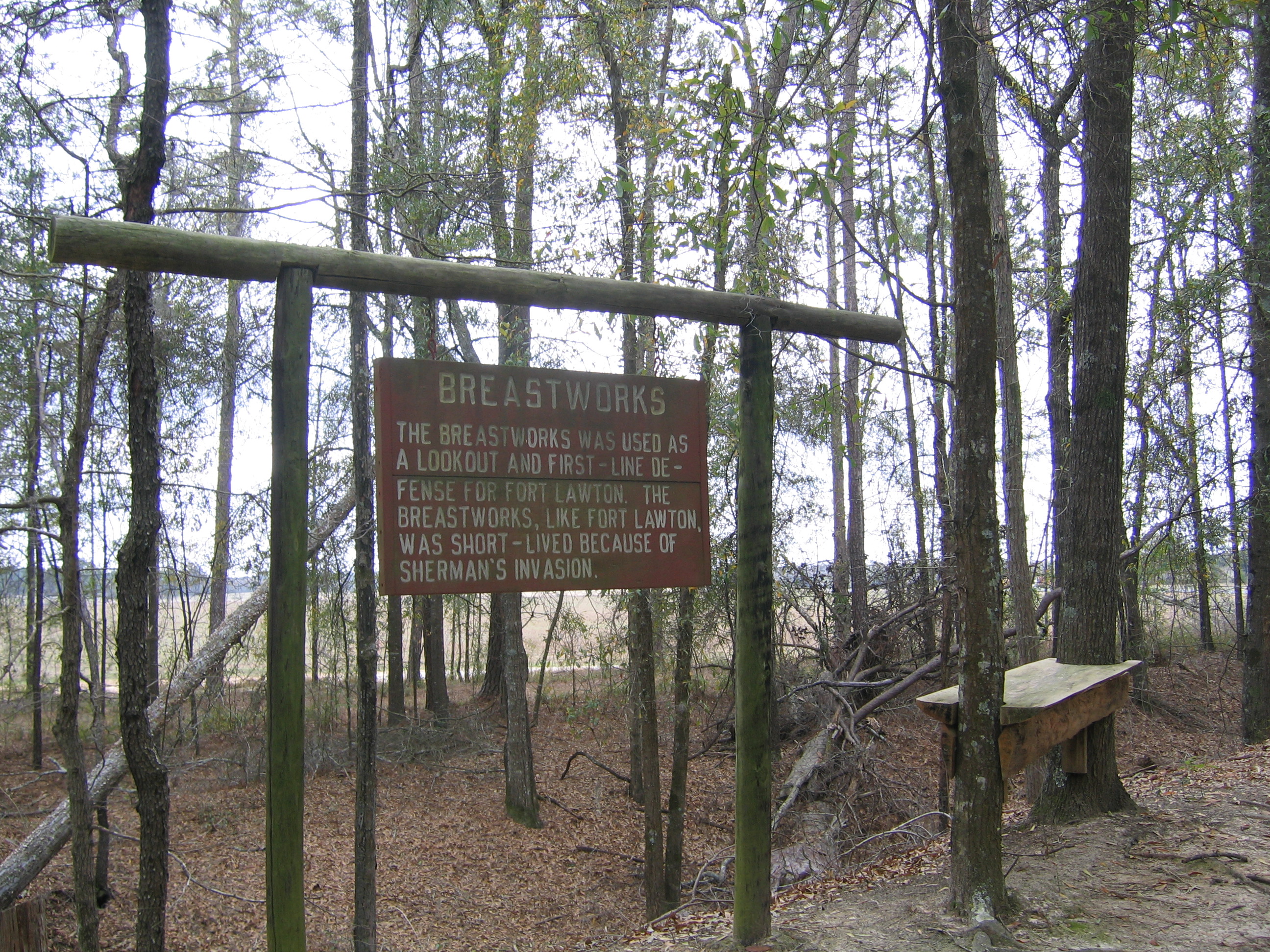
Fort Lawton Sign
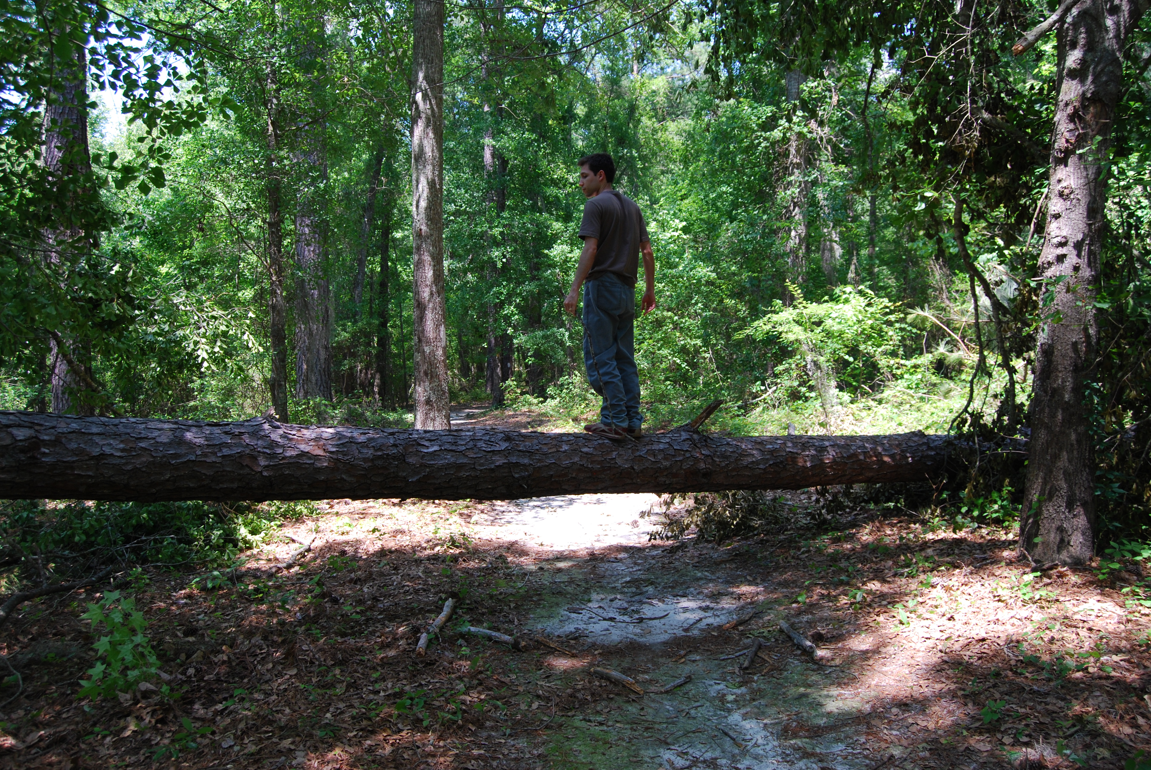
Made it!
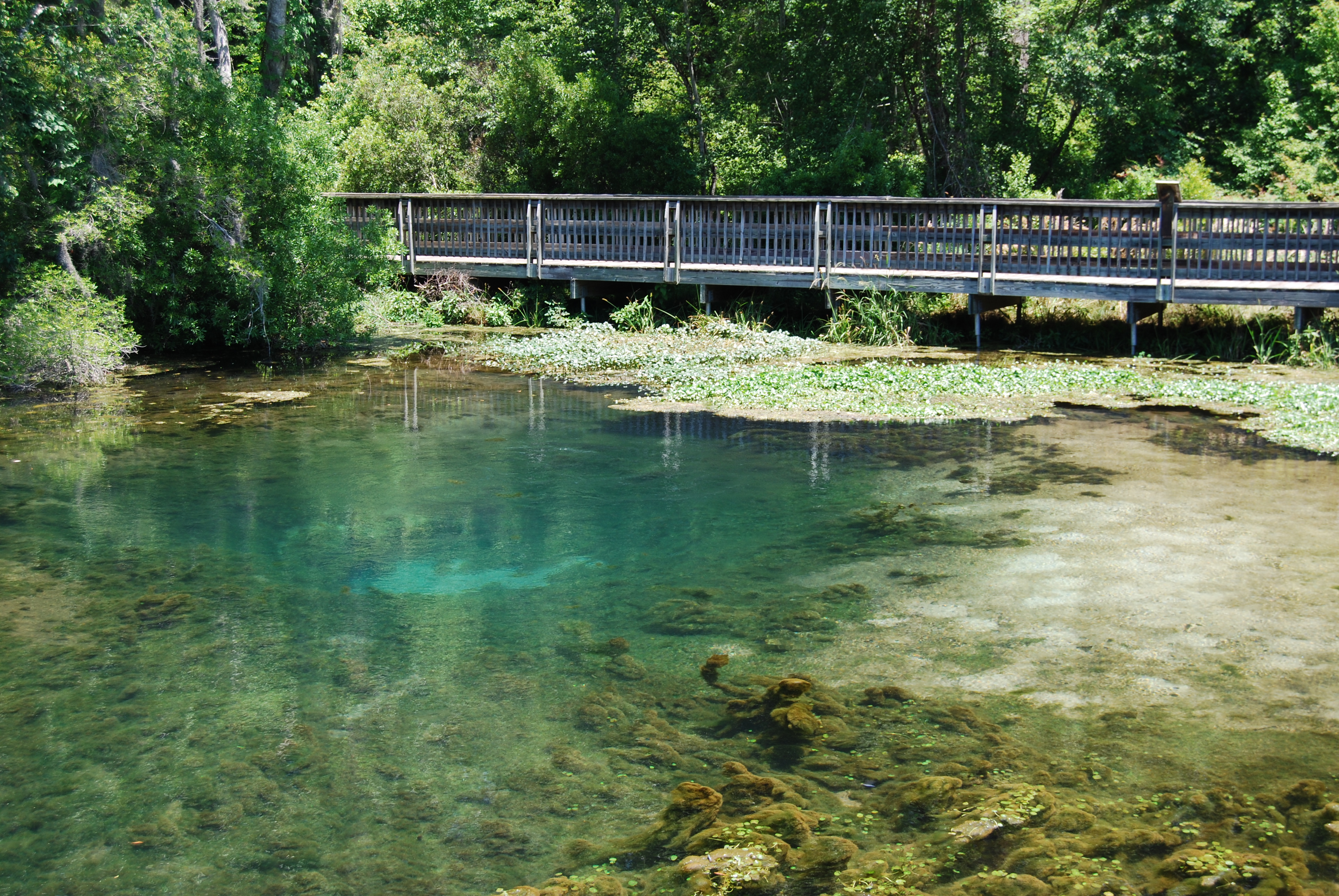
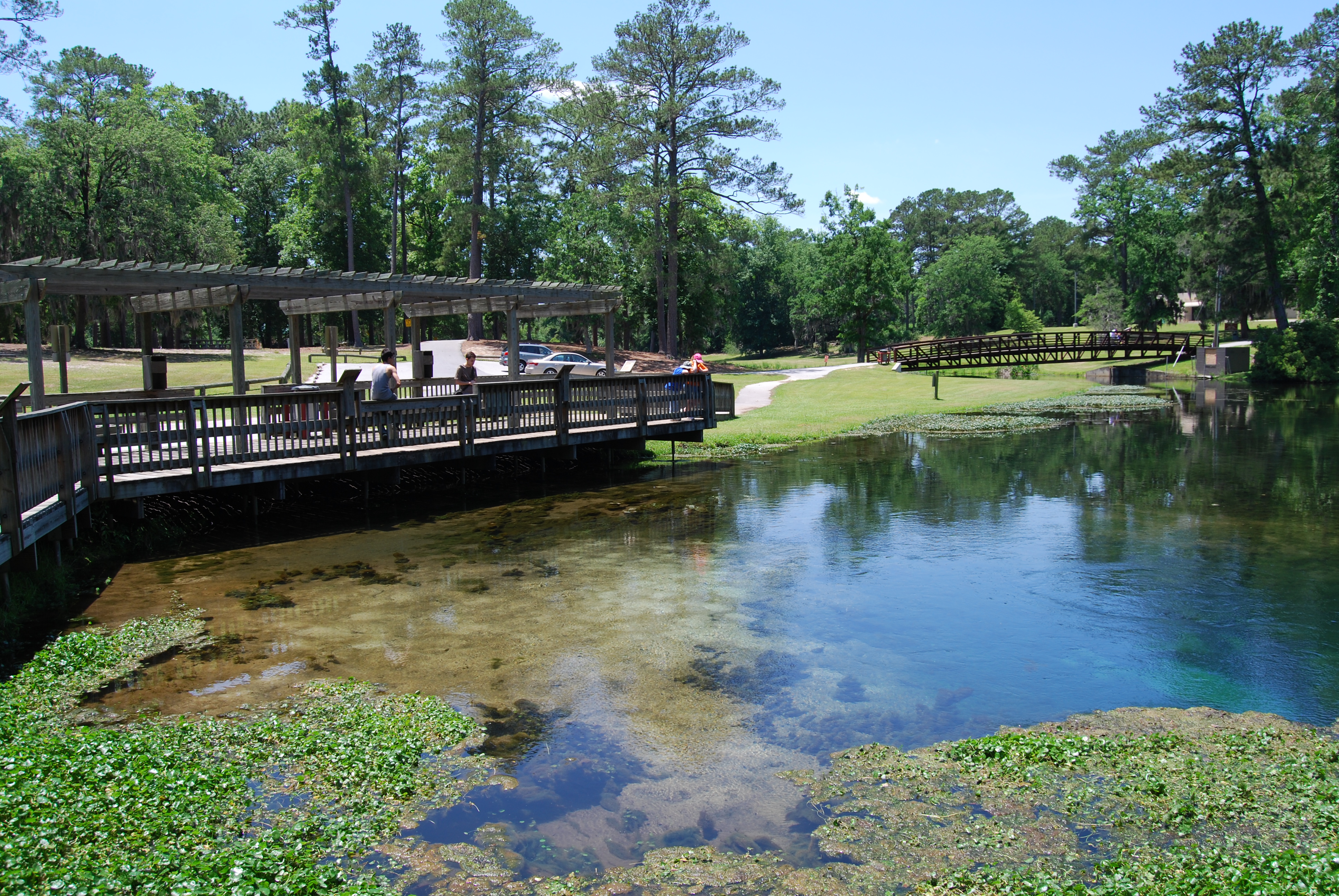
Magnolia Springs
More and more
Observation deck
To the other sites
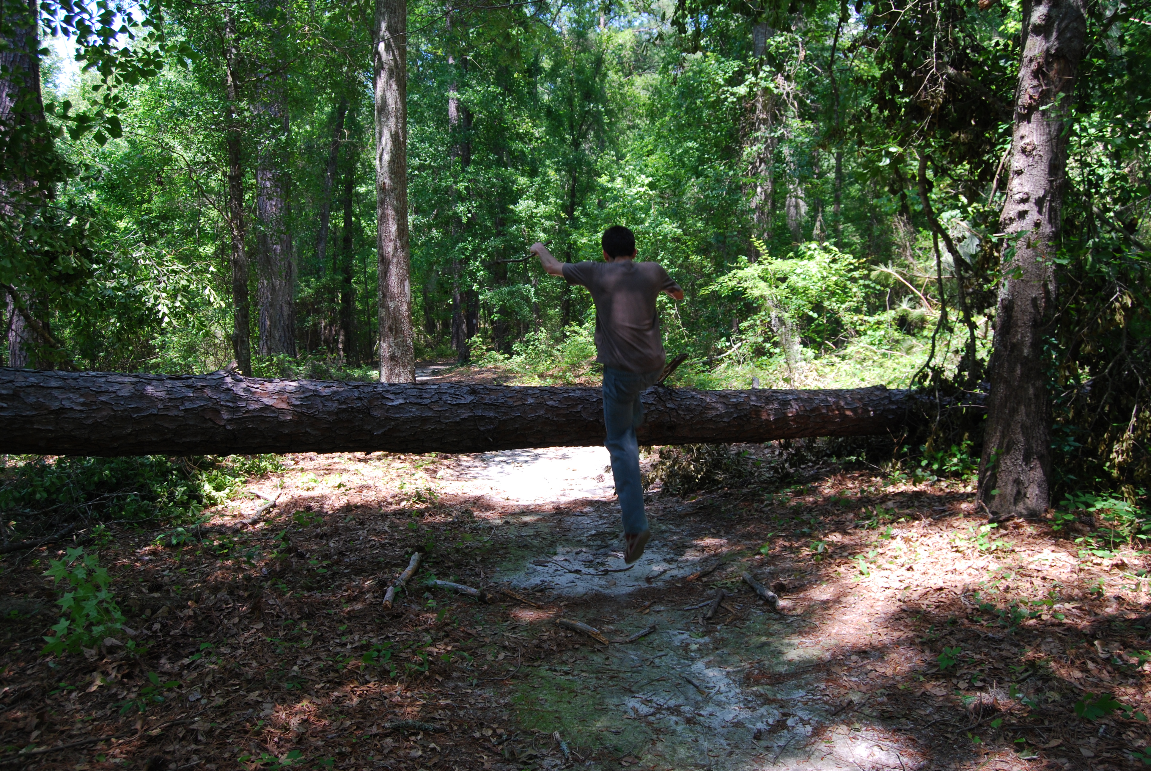
Jumping up
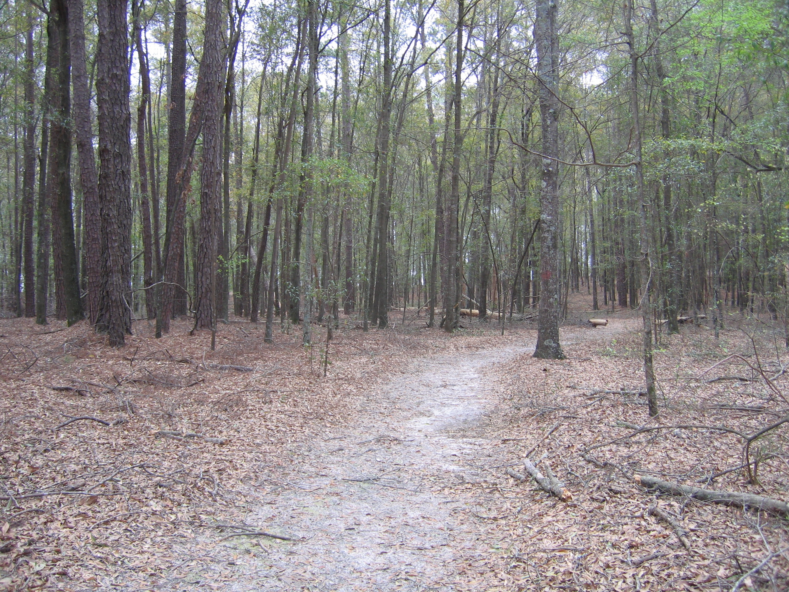
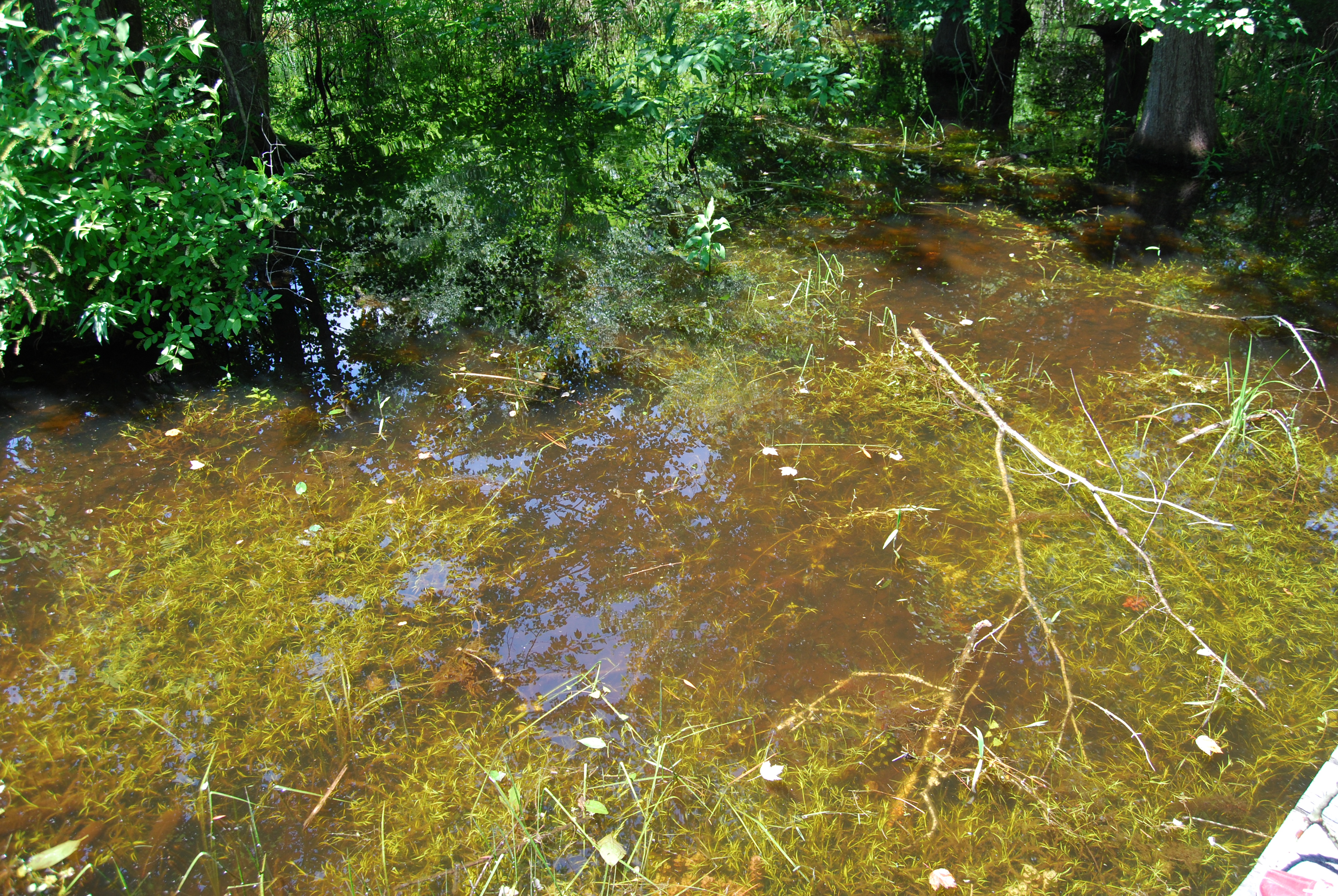
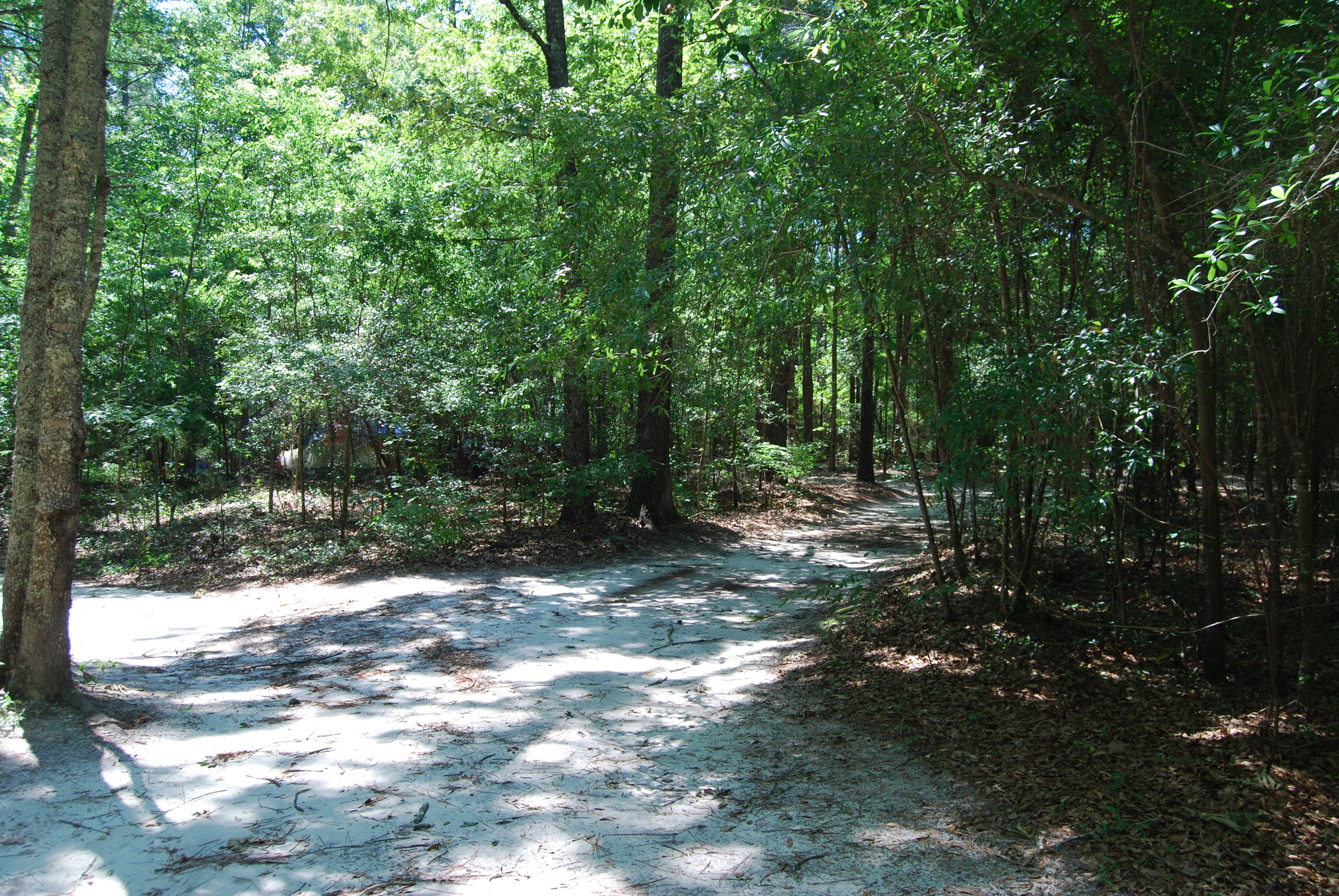
Fort Lawton/Camp Lawton Woods
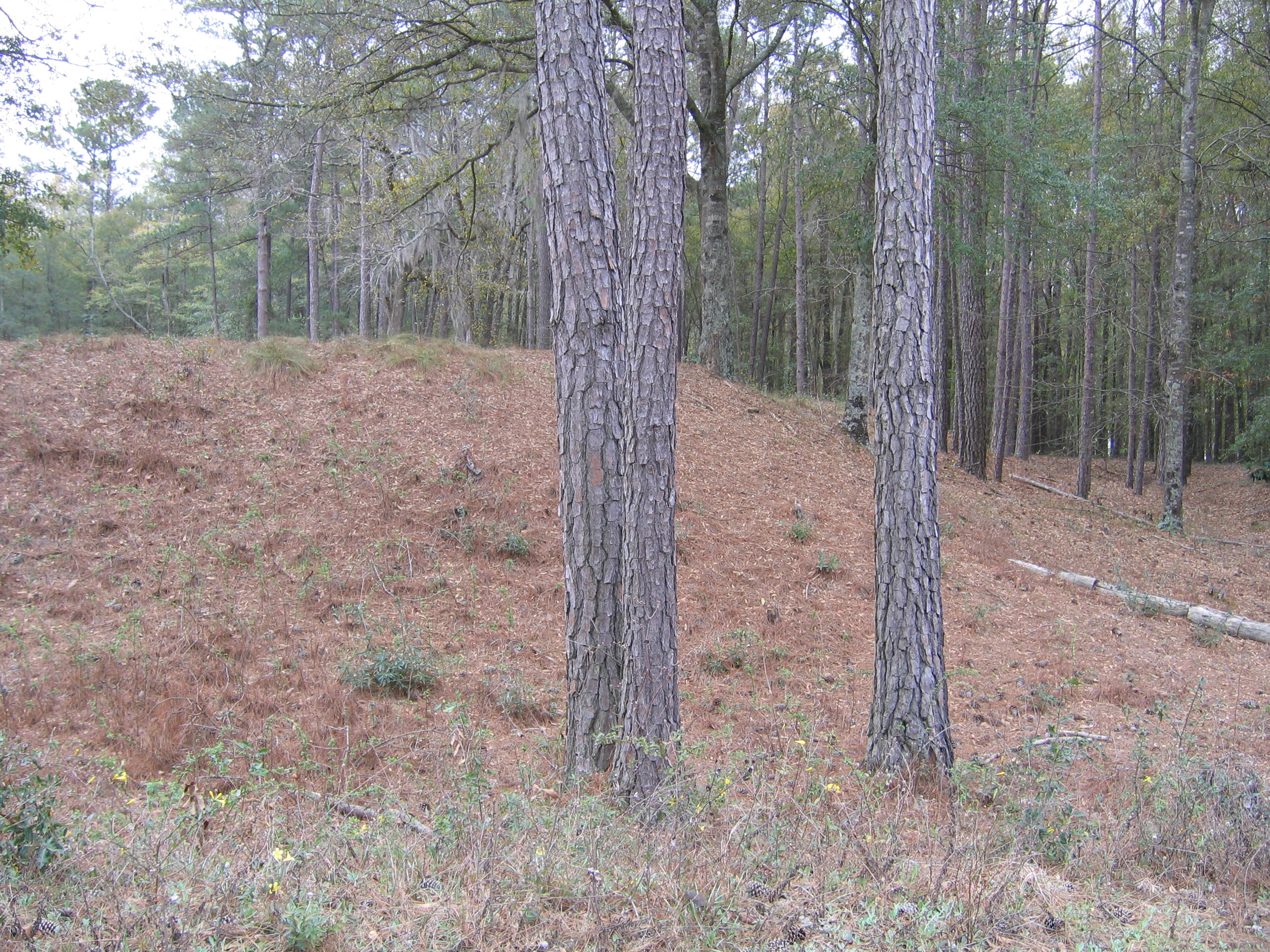
Fort Lawton/Camp Lawton Woods
Topographic Map of Harvey St, Millen, GA, USA
Find elevation by address:

Places near Harvey St, Millen, GA, USA:
Millen
Jenkins County
W Old Savannah Rd, Millen, GA, USA
1053 Magnolia Springs Rd
1053 Magnolia Springs Rd
4470 Ga-17
Perkins
Lans Ln, Millen, GA, USA
Sid Lanier Road
Sid Lanier Road
Wilson-Drake Rd, Waynesboro, GA, USA
Alexander- Munnerlyn Rd, Waynesboro, GA, USA
Old Rocky Ford Rd, Rocky Ford, GA, USA
Thrift Rd, Millen, GA, USA
4864 Lane Rd
S Herndon Rd, Millen, GA, USA
16806 Roberts Bridge Rd
Indian Trail Rd, Sylvania, GA, USA
Alexander- Munnerlyn Rd, Sardis, GA, USA
Garfield
Recent Searches:
- Elevation of Elwyn Dr, Roanoke Rapids, NC, USA
- Elevation of Congressional Dr, Stevensville, MD, USA
- Elevation of Bellview Rd, McLean, VA, USA
- Elevation of Stage Island Rd, Chatham, MA, USA
- Elevation of Shibuya Scramble Crossing, 21 Udagawacho, Shibuya City, Tokyo -, Japan
- Elevation of Jadagoniai, Kaunas District Municipality, Lithuania
- Elevation of Pagonija rock, Kranto 7-oji g. 8"N, Kaunas, Lithuania
- Elevation of Co Rd 87, Jamestown, CO, USA
- Elevation of Tenjo, Cundinamarca, Colombia
- Elevation of Côte-des-Neiges, Montreal, QC H4A 3J6, Canada