Elevation of Harvel Township, IL, USA
Location: United States > Illinois > Montgomery County >
Longitude: -89.559196
Latitude: 39.3923916
Elevation: 197m / 646feet
Barometric Pressure: 99KPa
Elevation Map:
Satellite Map:
Related Photos:
Illinois Central #9350, Farmersville, Illinois
Front view of my house

2011-05-29 18.31.37
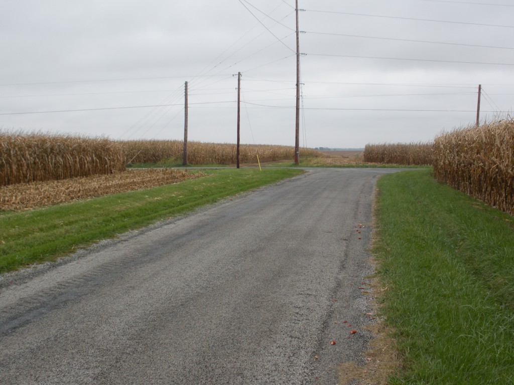
Endless roads
Walking in silence

2013-06-28 11
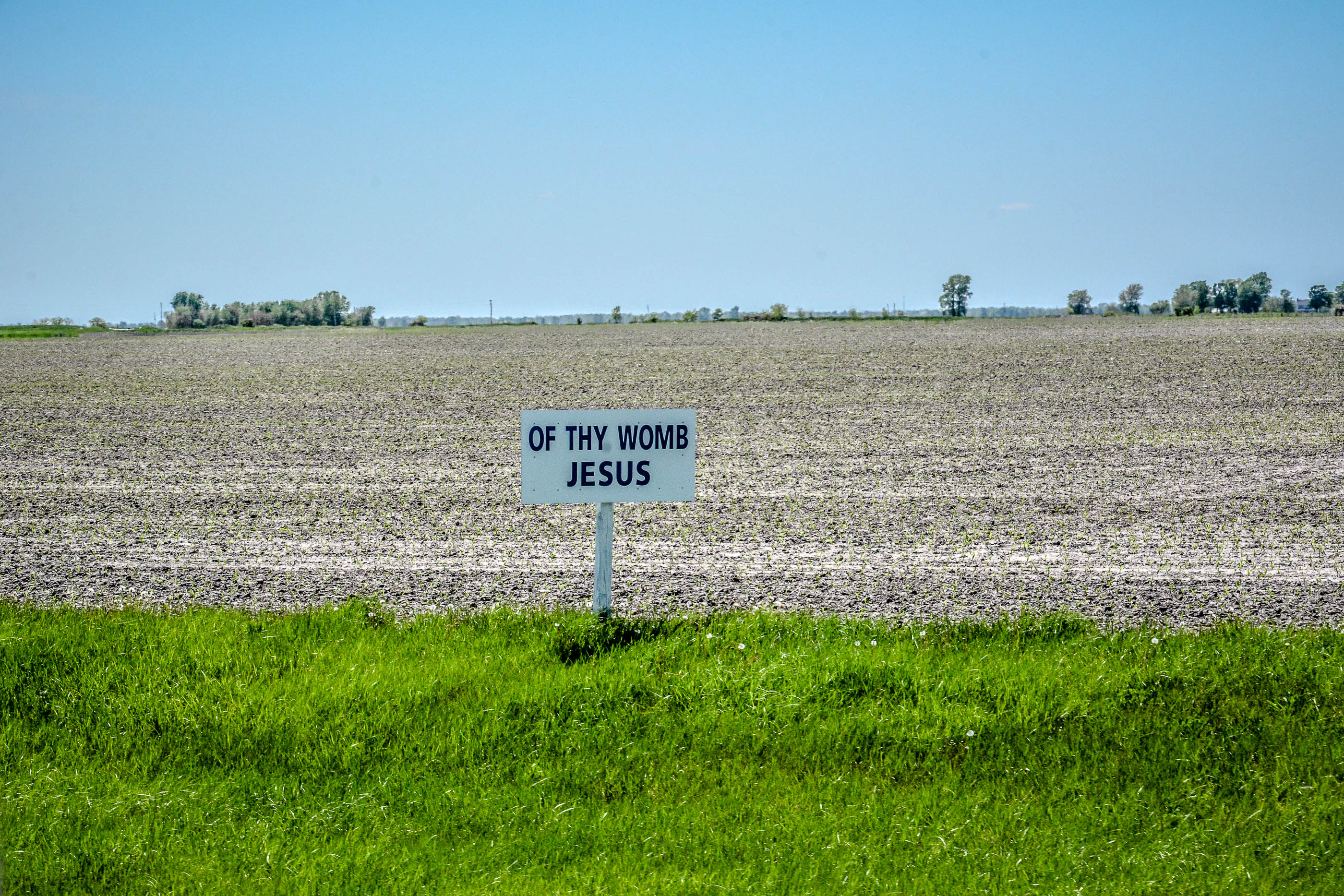
Our Lady of the Highway Shrine
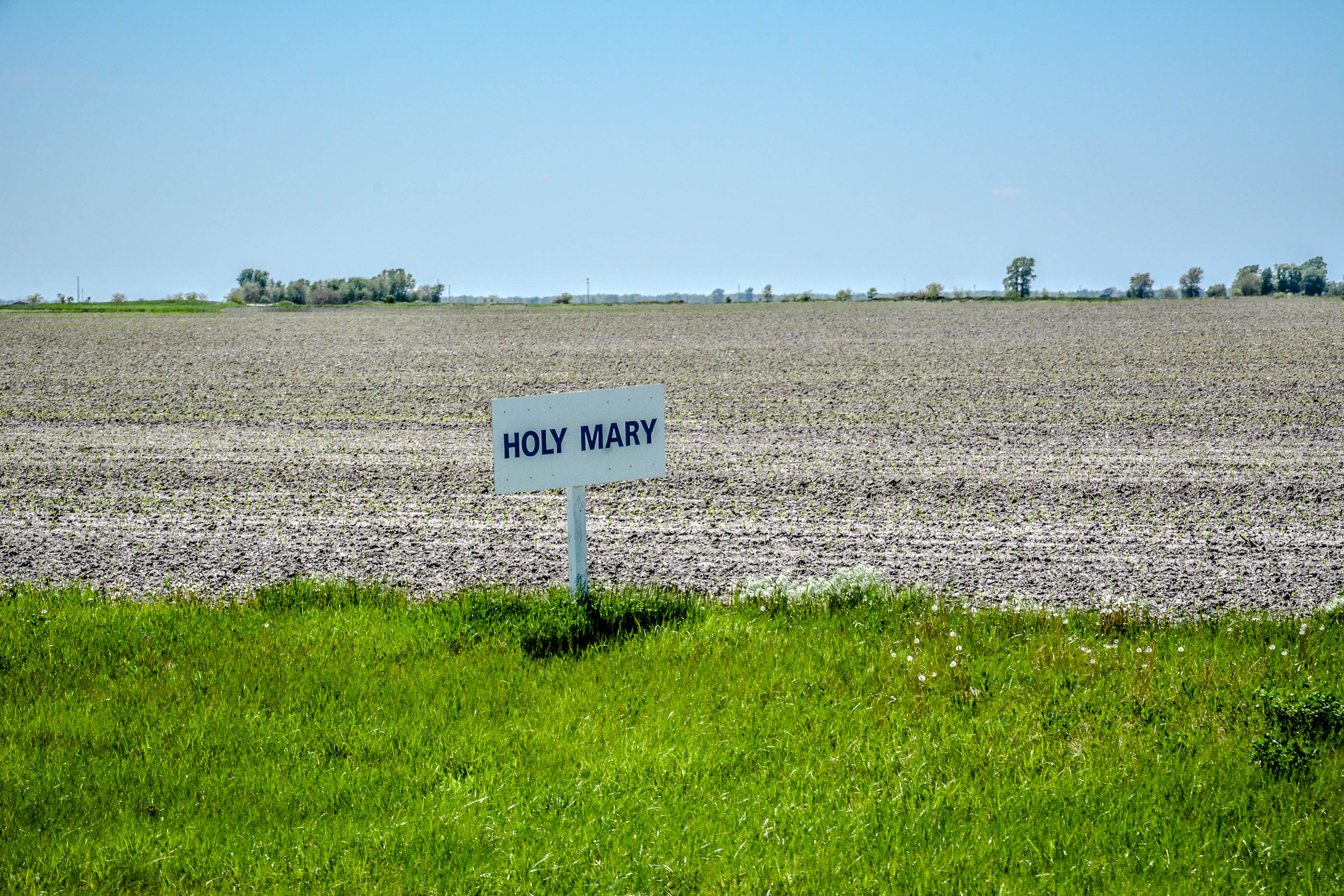
Our Lady of the Highway Shrine
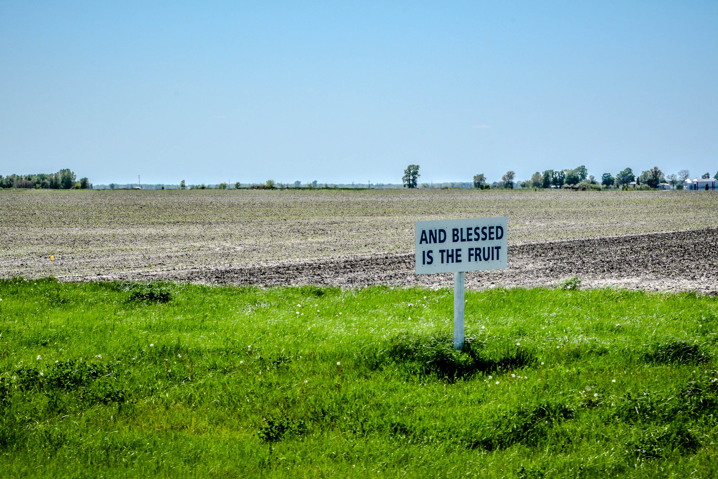
Our Lady of the Highway Shrine
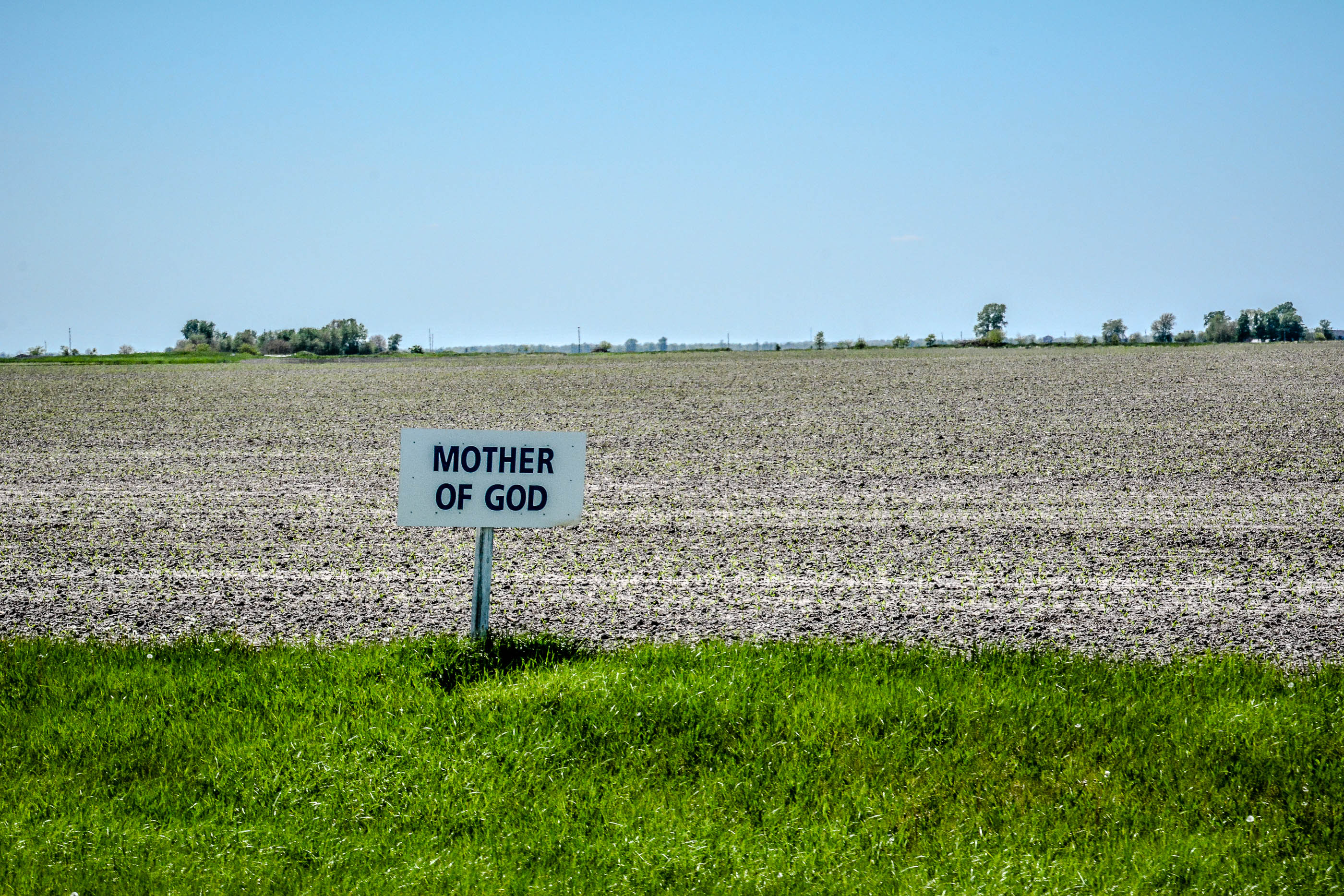
Our Lady of the Highway Shrine
Our Lady of the Highway Shrine

Our Lady of the Highway Shrine

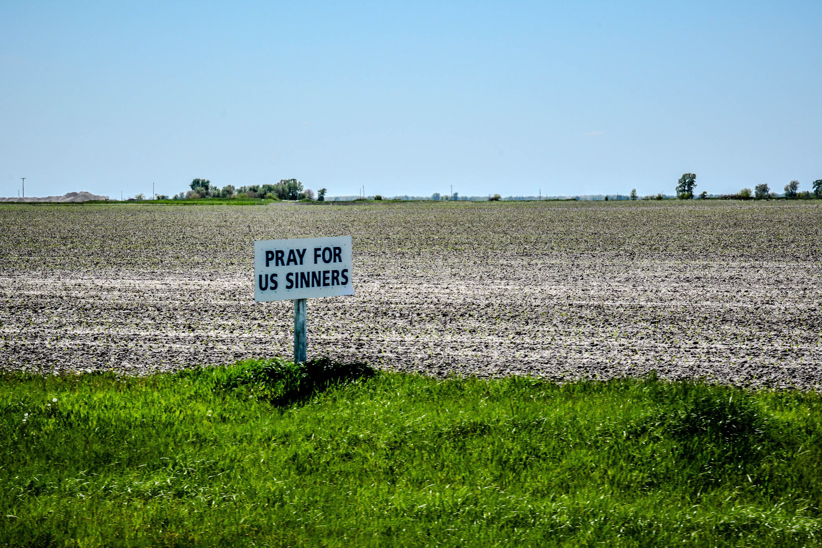
still green
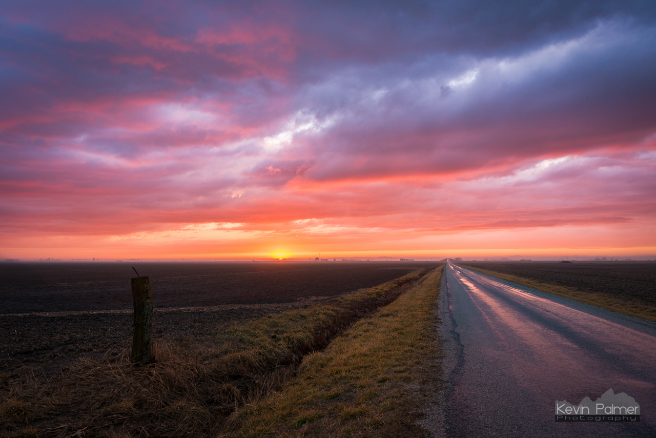
Farmersville Sunset
Cornfield Maze
Topographic Map of Harvel Township, IL, USA
Find elevation by address:

Places in Harvel Township, IL, USA:
Places near Harvel Township, IL, USA:
Bois D'arc Township
Waggoner
Main St, Farmersville, IL, USA
Carlin St, Morrisonville, IL, USA
Morrisonville
County Rd N, Pawnee, IL, USA
County Rd 6 E, Pawnee, IL, USA
Ricks Township
E Frontage Rd, Virden, IL, USA
Bear Creek Township
5th St, Palmer, IL, USA
Palmer
Divernon Township
2nd Ave, Waggoner, IL, USA
Pawnee Township
Nilwood Township
S 1st St, Divernon, IL, USA
Divernon
Lincoln St, Pawnee, IL, USA
Pawnee
Recent Searches:
- Elevation of 24 Oakland Rd #, Scotland, ON N0E 1R0, Canada
- Elevation of Deep Gap Farm Rd E, Mill Spring, NC, USA
- Elevation of Dog Leg Dr, Minden, NV, USA
- Elevation of Dog Leg Dr, Minden, NV, USA
- Elevation of Kambingan Sa Pansol Atbp., Purok 7 Pansol, Candaba, Pampanga, Philippines
- Elevation of Pinewood Dr, New Bern, NC, USA
- Elevation of Mountain View, CA, USA
- Elevation of Foligno, Province of Perugia, Italy
- Elevation of Blauwestad, Netherlands
- Elevation of Bella Terra Blvd, Estero, FL, USA