Elevation of Divernon Township, IL, USA
Location: United States > Illinois > Sangamon County >
Longitude: -89.643992
Latitude: 39.5479657
Elevation: 188m / 617feet
Barometric Pressure: 99KPa
Elevation Map:
Satellite Map:
Related Photos:
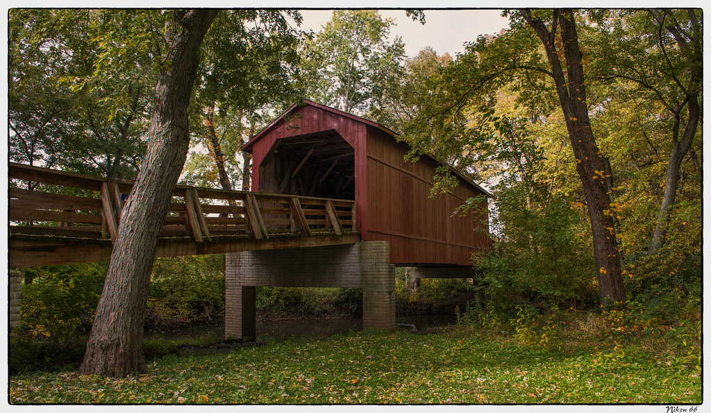
Sugar Creek Covered Bridge - No. 1
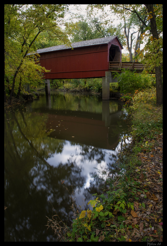
Sugar Creek Covered Bridge - No. 2

Auburn IL - Auburn Presbyerian Church (1 of 2)
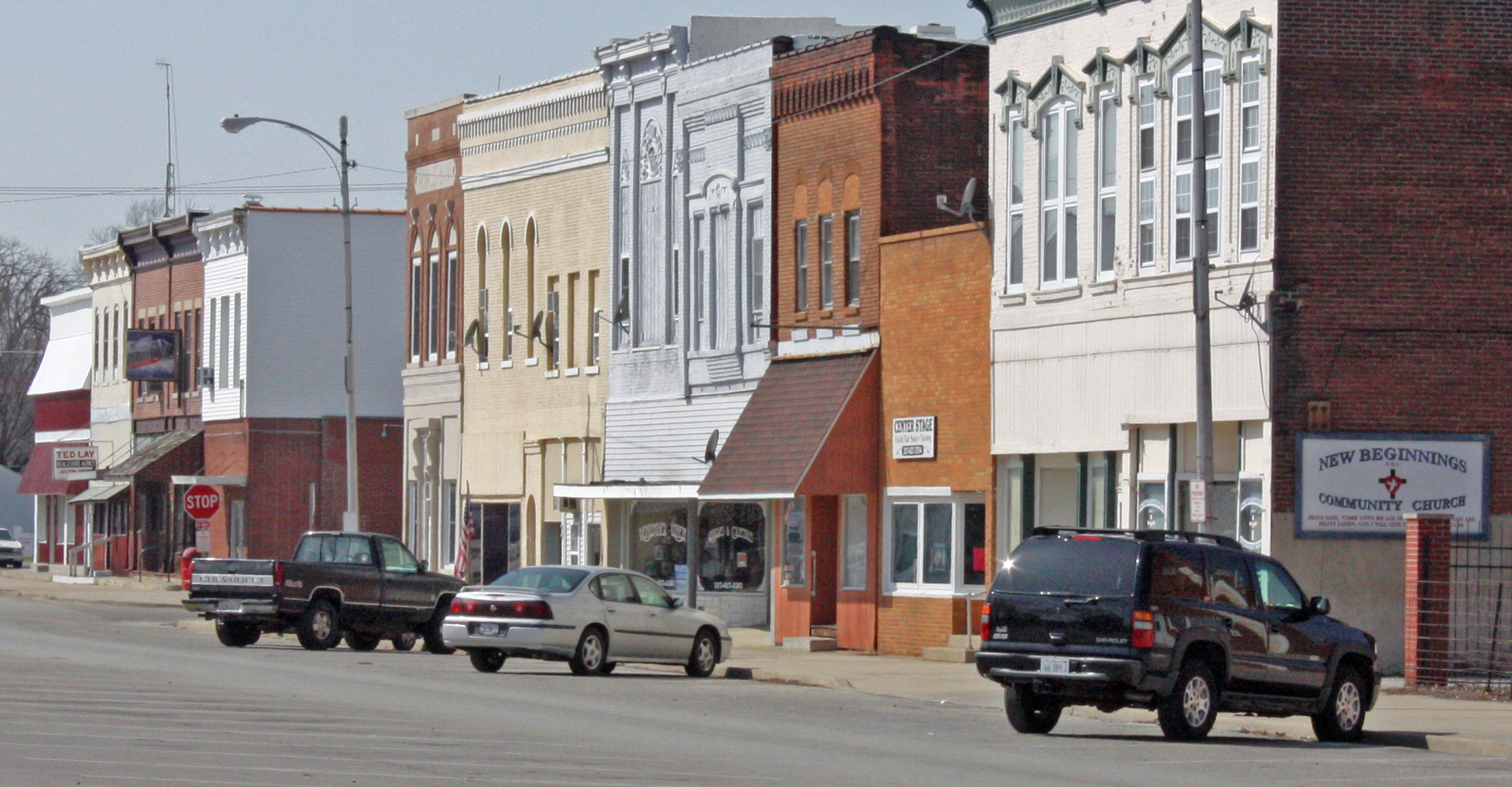
Girard IL - North Side of Square

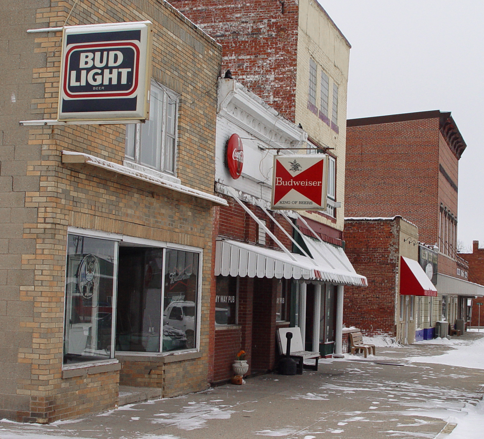
Brick 66

View from Megabus
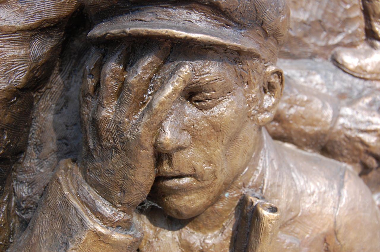
Virden Massacre Memorial
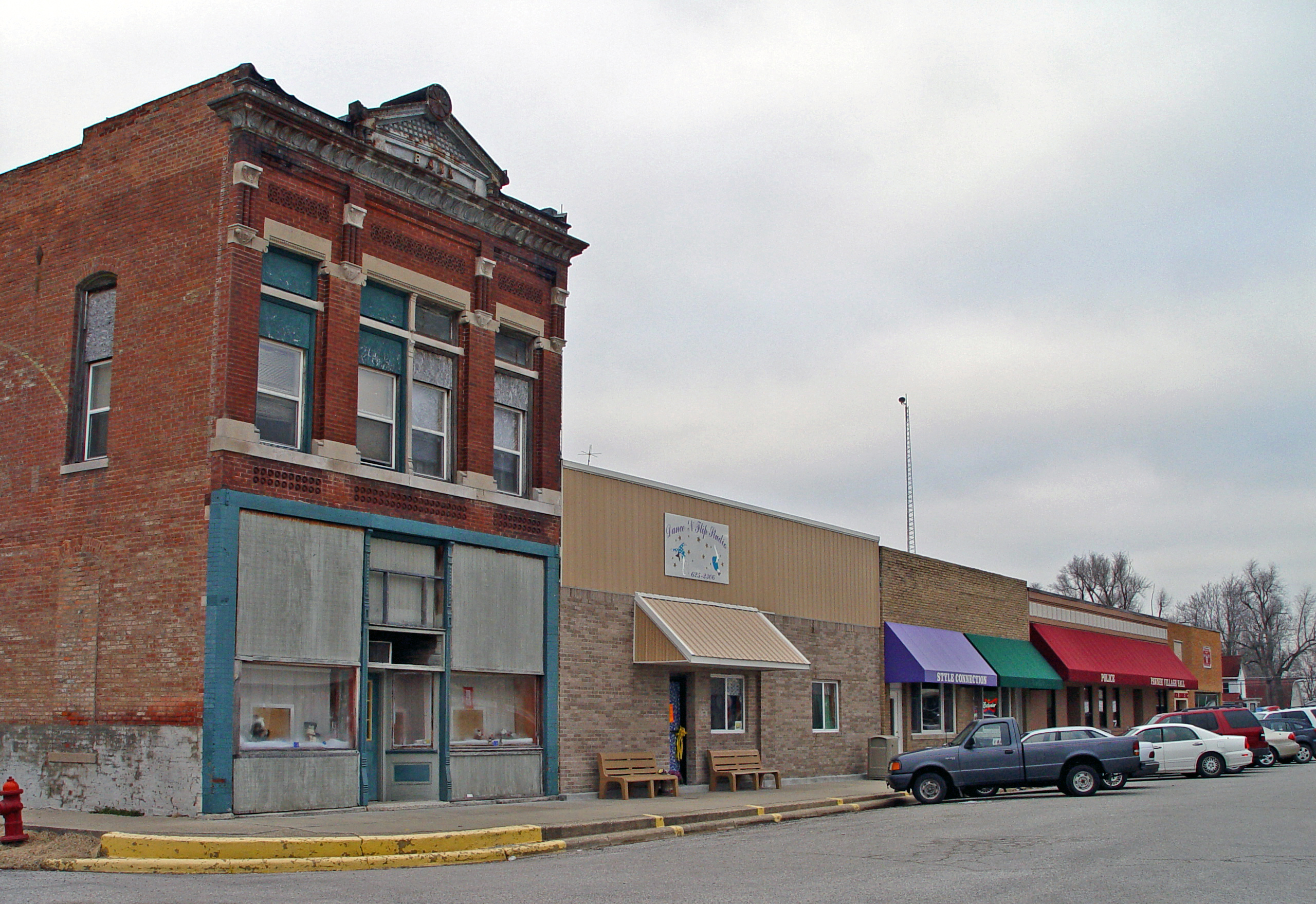
Pawnee IL - West Side of Square

Auburn IL - Auburn Baptist Church (2 of 2)
2011-05-29 18.31.52
Pawnee IL - North Side of Square (4 of 7)
2011-05-29 18.31.37

~A River Runs Through It~

Glenarm IL - Former Methodist Church
Chatham IL - Village Park

Virden Massacre Memorial
Virden Massacre Memorial
Sugar Creek Covered Bridge - No. 3
Illinois Central #9350, Farmersville, Illinois
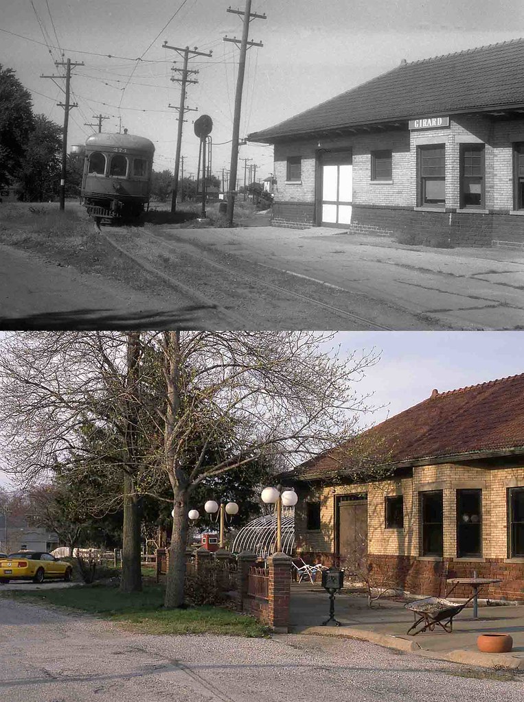
Illinois Terminal Depot, Girard, Illinois #1
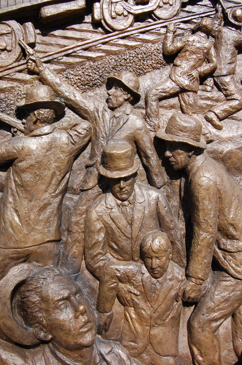
Virden Massacre Memorial
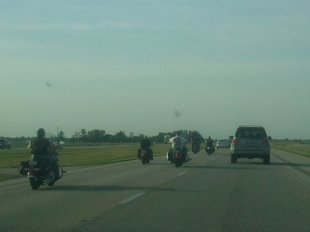
rolling thunder

Chatham, 2014

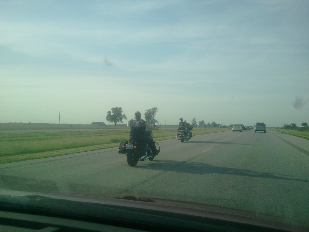
Beautiful day to drive

Best part!
fading away
~Sunset~
empty tower
Sugar Creek
Lake Springfield
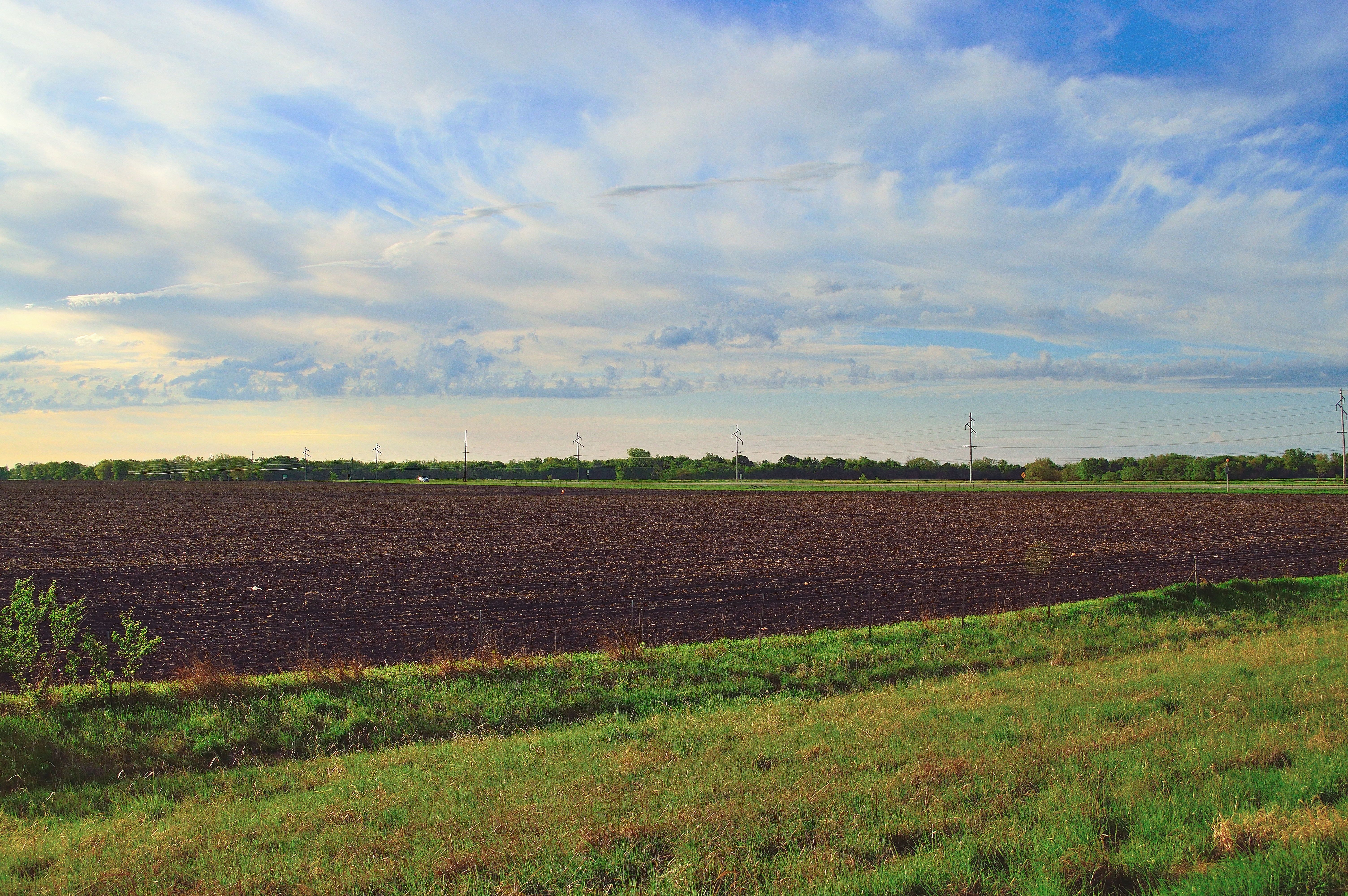
the good earth
DSC_1741.JPG

Old Route 66, north of Auburn, IL. Very smooth brick paving.

2006-07-01 012

10-06-03 Day 06 - Route 66
DSC_2638.NEF
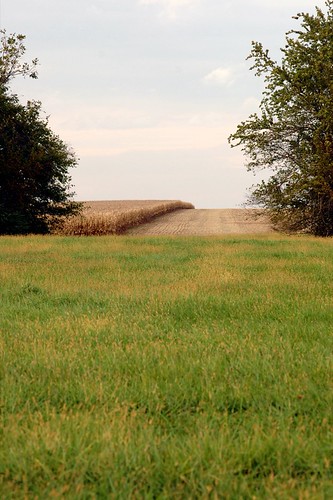
Road through cornfield
DSC_1636.JPG
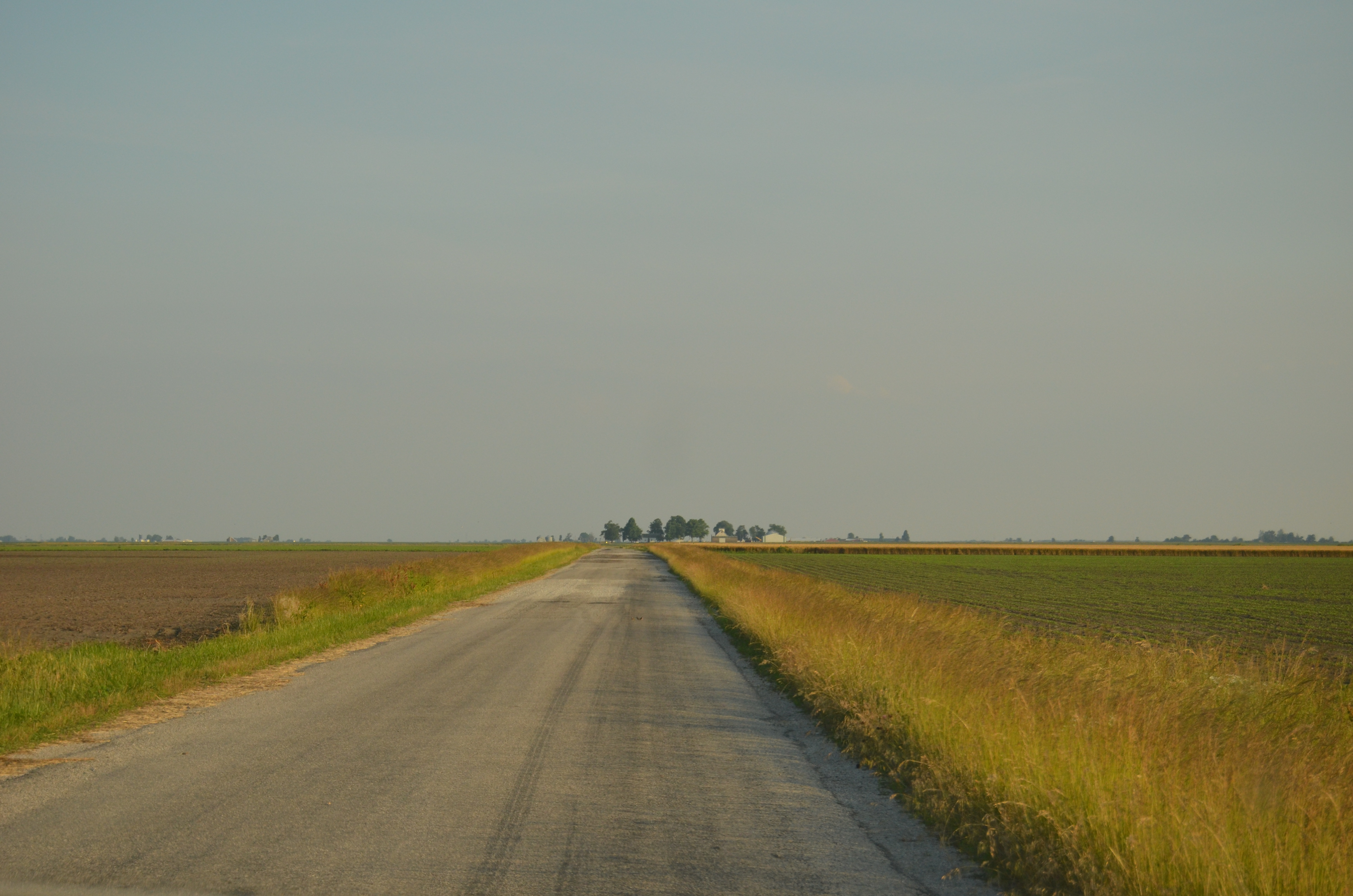
Endless roads
Walking in silence
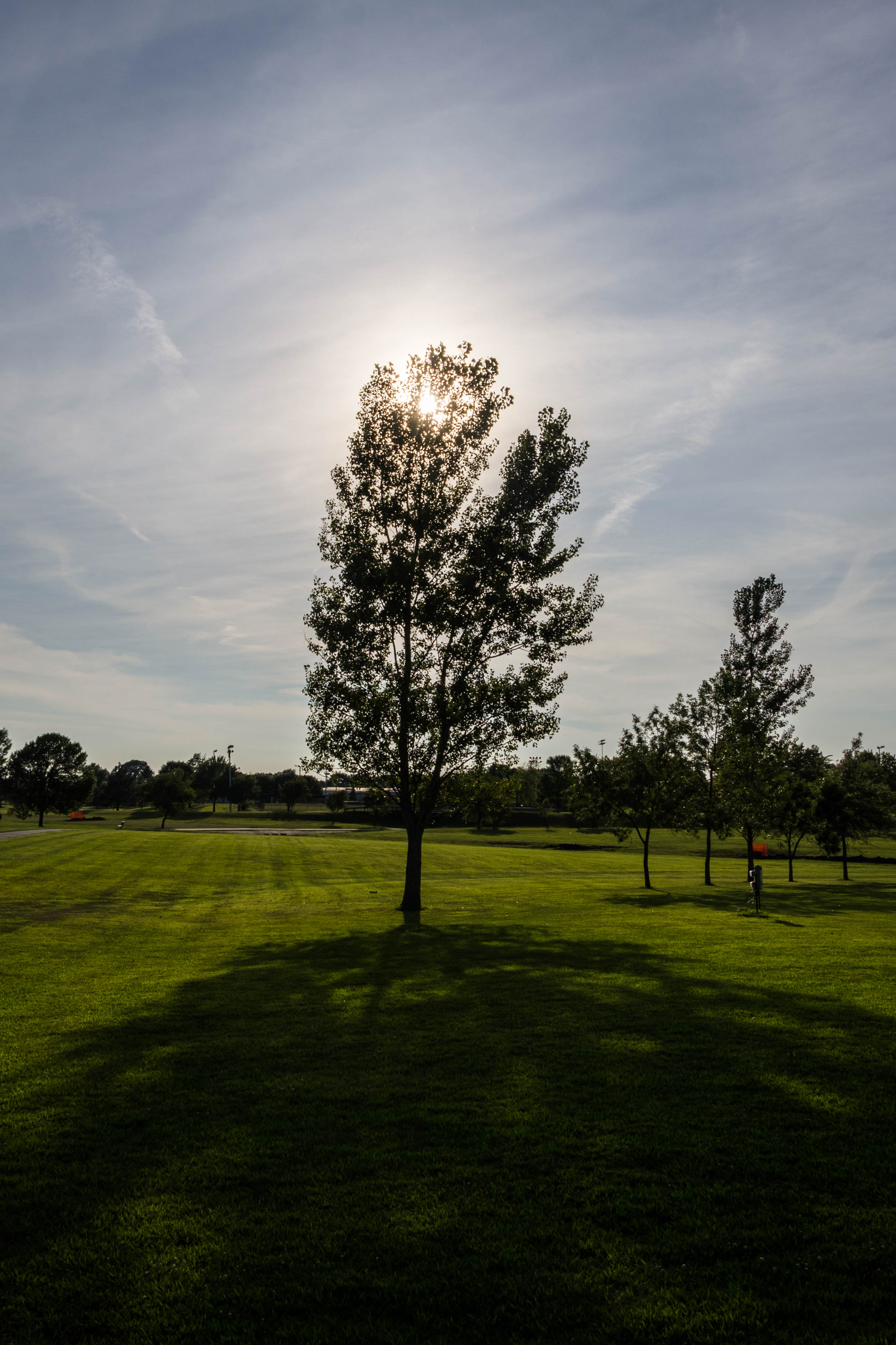
219/365: Park shadow
Topographic Map of Divernon Township, IL, USA
Find elevation by address:

Places in Divernon Township, IL, USA:
Places near Divernon Township, IL, USA:
S 1st St, Divernon, IL, USA
Divernon
E Frontage Rd, Virden, IL, USA
IL-, Divernon, IL, USA
Bobby Dr, Divernon, IL, USA
Glenarm
Main St, Glenarm, IL, USA
Pawnee
Lincoln St, Pawnee, IL, USA
County Rd N, Pawnee, IL, USA
Pawnee Township
Bois D'arc Township
Ball Township
Main St, Farmersville, IL, USA
Auburn
County Rd 6 E, Pawnee, IL, USA
Auburn Township
Harrison Ave, Auburn, IL, USA
Van Ave, Virden, IL, USA
Virden
Recent Searches:
- Elevation of Woodland Oak Pl, Thousand Oaks, CA, USA
- Elevation of Brownsdale Rd, Renfrew, PA, USA
- Elevation of Corcoran Ln, Suffolk, VA, USA
- Elevation of Mamala II, Sariaya, Quezon, Philippines
- Elevation of Sarangdanda, Nepal
- Elevation of 7 Waterfall Way, Tomball, TX, USA
- Elevation of SW 57th Ave, Portland, OR, USA
- Elevation of Crocker Dr, Vacaville, CA, USA
- Elevation of Pu Ngaol Community Meeting Hall, HWHM+3X7, Krong Saen Monourom, Cambodia
- Elevation of Royal Ontario Museum, Queens Park, Toronto, ON M5S 2C6, Canada