Elevation of Hartfield, VA, USA
Location: United States > Virginia > Middlesex County > Pine Top >
Longitude: -76.446058
Latitude: 37.5512484
Elevation: 24m / 79feet
Barometric Pressure: 101KPa
Elevation Map:
Satellite Map:
Related Photos:
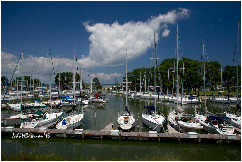
View from Lighthouse - Stingray Point Marina

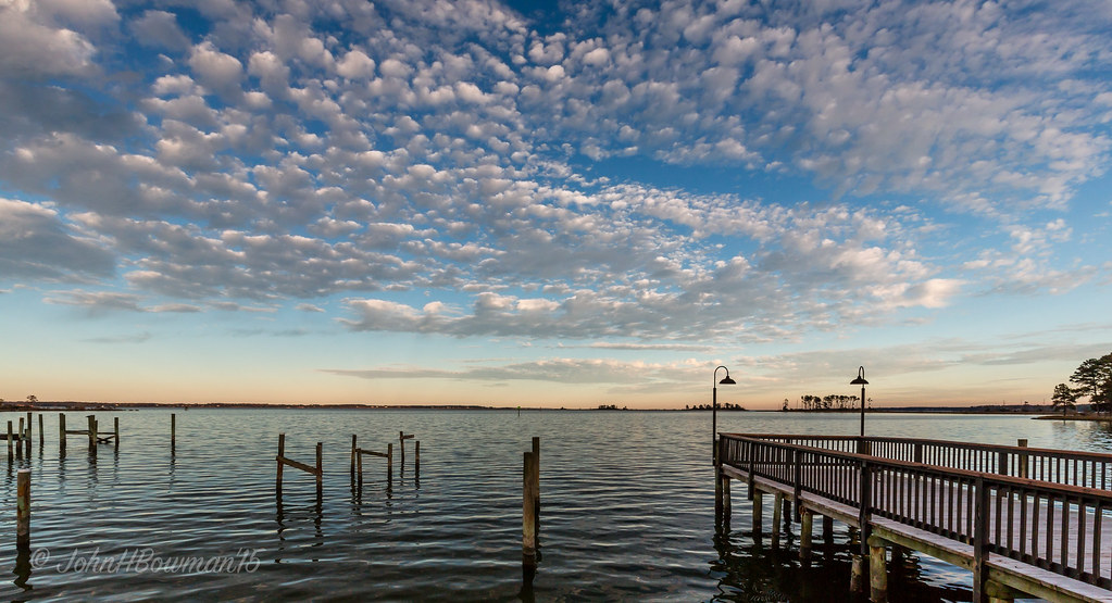
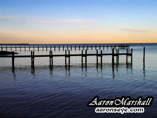
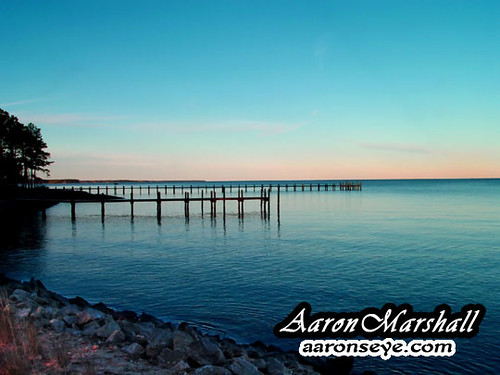
Dock & Cloud-Virginia
"Popcorn" Sky

Sorrow Pain-Virginia
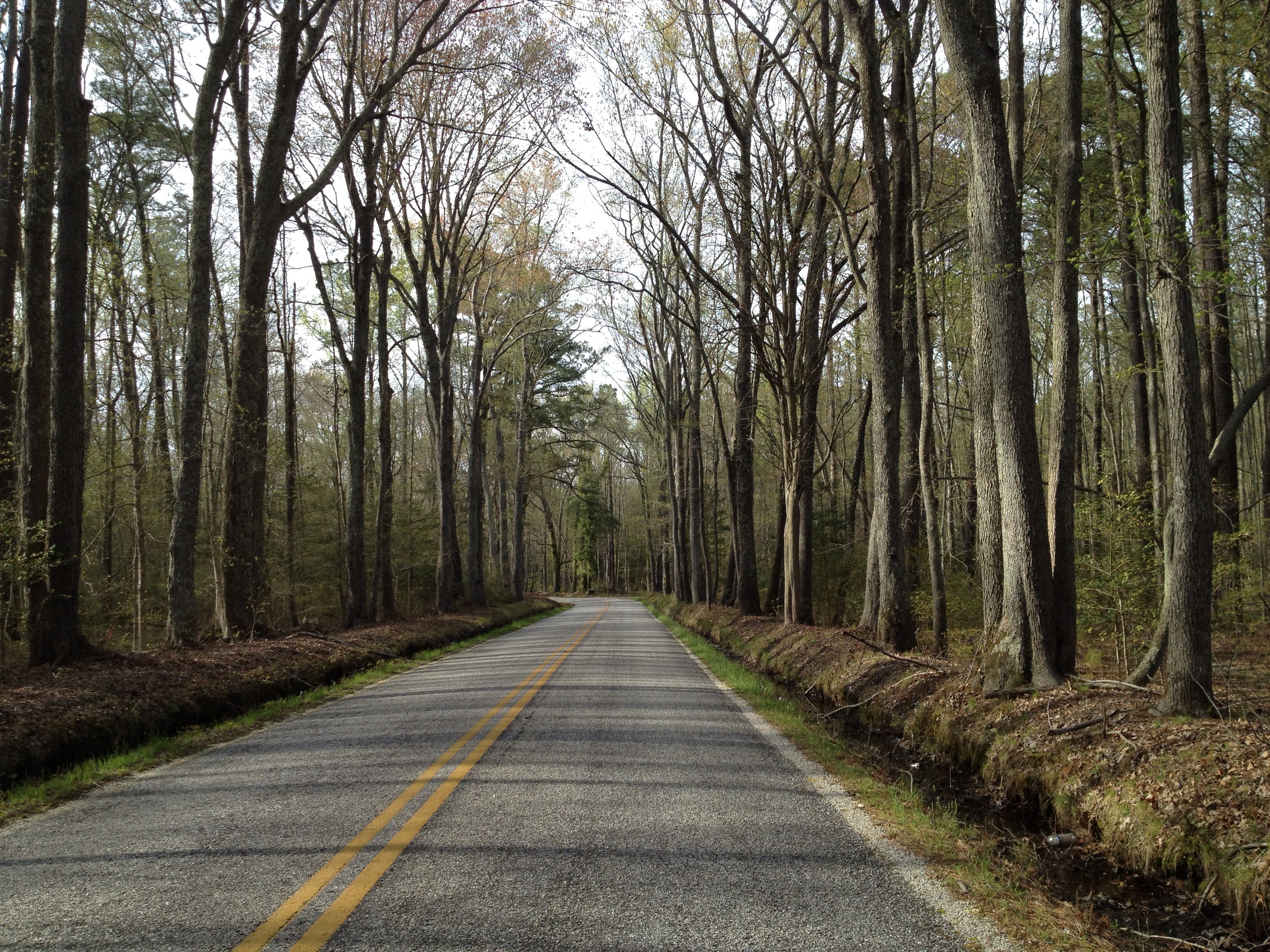
View from the Road to Towles Point, Lancaster County, VA
Inn at Woodstock - River view at sunset

Sheltering Arms

Rest-Virginia
Far Away From Home-Virginia
Inn at Woodstock - River view at sunset

2014.09.02 195K Views

Old Middlesex Courthouse
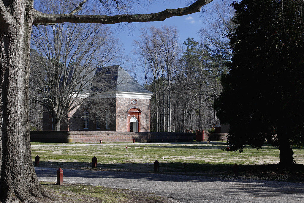
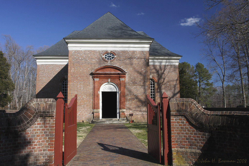
Wooded setting of Christ Church

A View
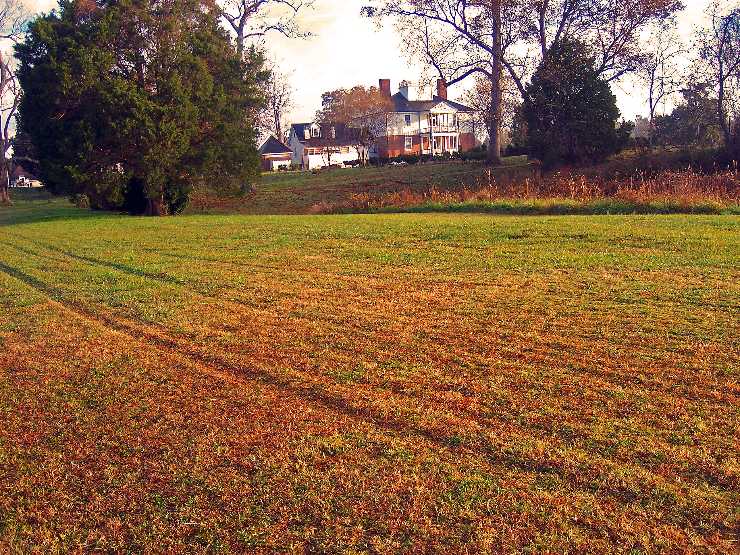
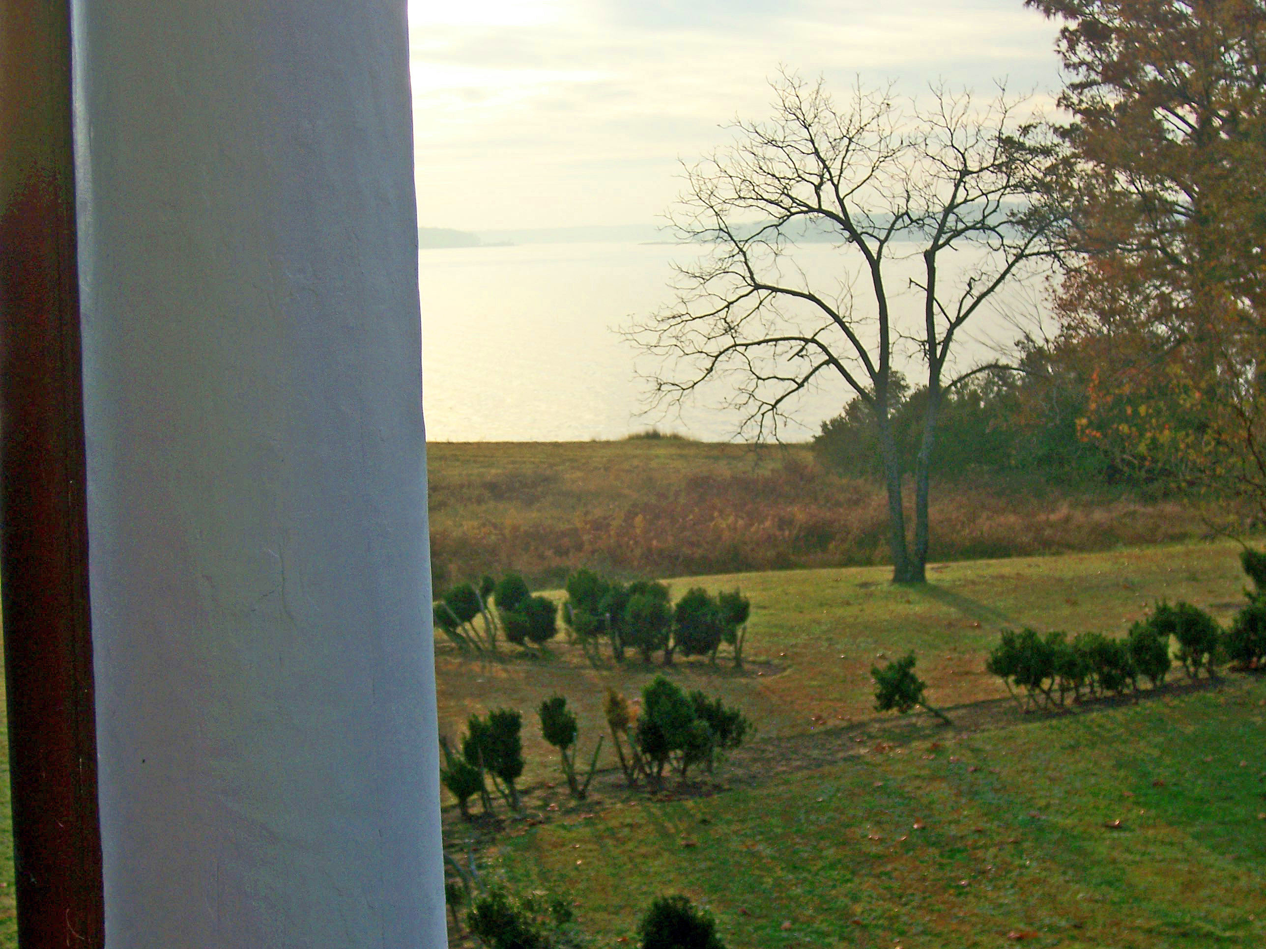
Inn at Woodstock - View across the field

2014JEK0227123.jpg
Inn at Woodstock - River view
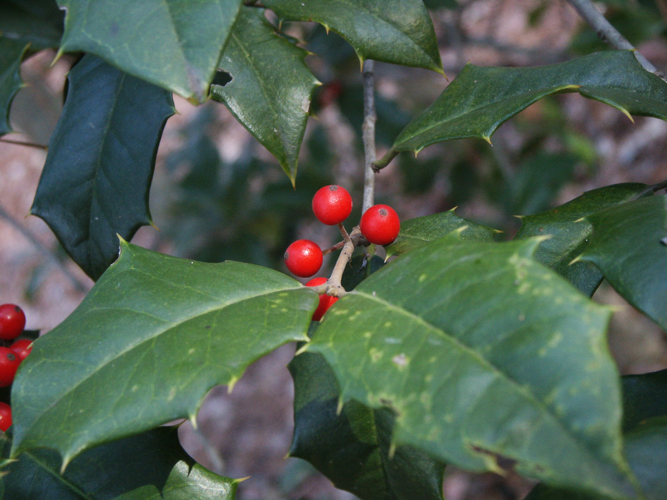
Holly and berries

Telephone 2
M-016 Urbanna, Virginia.
Gated brick wall - Christ Church
DSC03177 w
#8532 - white_house_sunset

Finally [Explored!]
Above The Fields
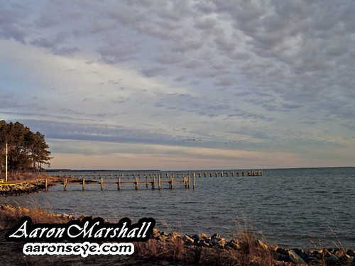
Stingray point
#8544 - white_house_sunset
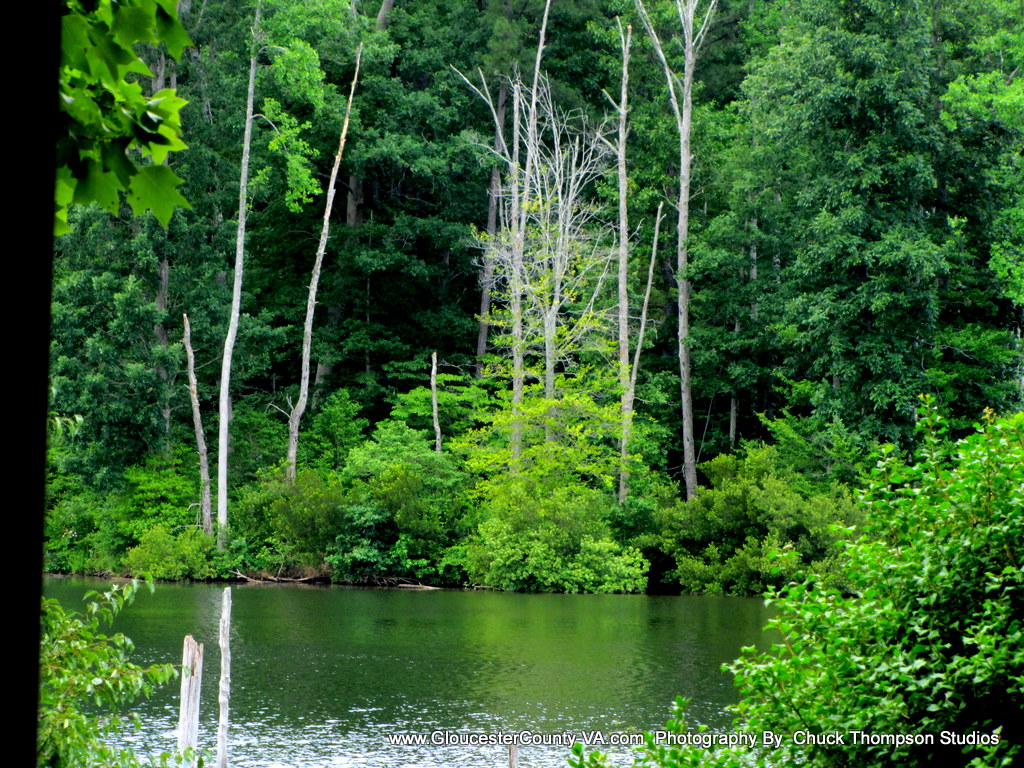
Beaver Dam Park
DSC03185 w

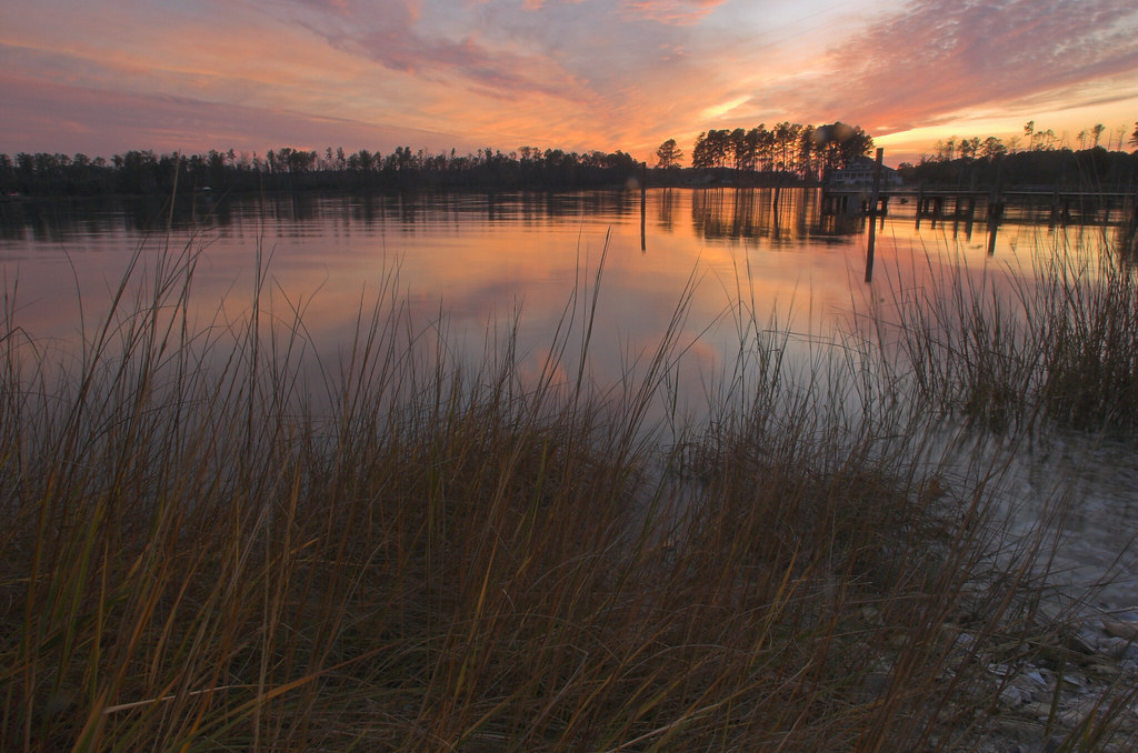
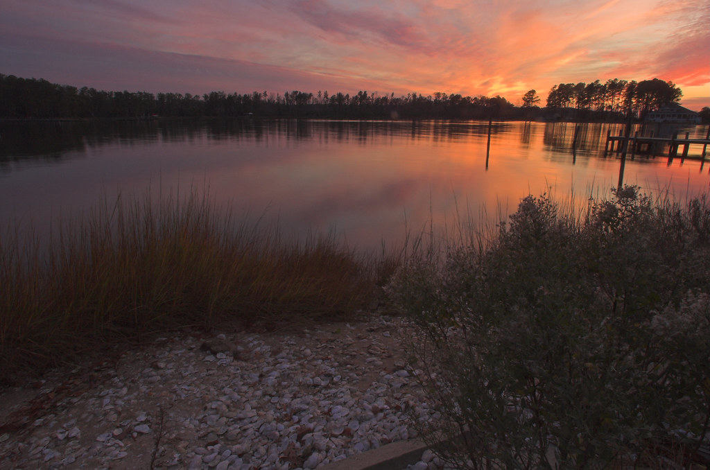
Sunset on Sturgeon Creek - Deltaville, VA

Sturgeon Creek
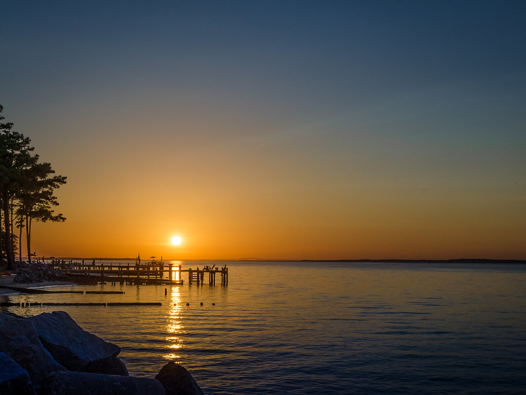
The Sun Sets
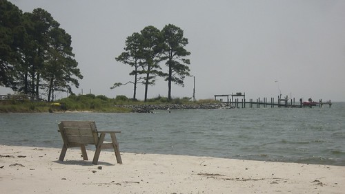
Lonely bench
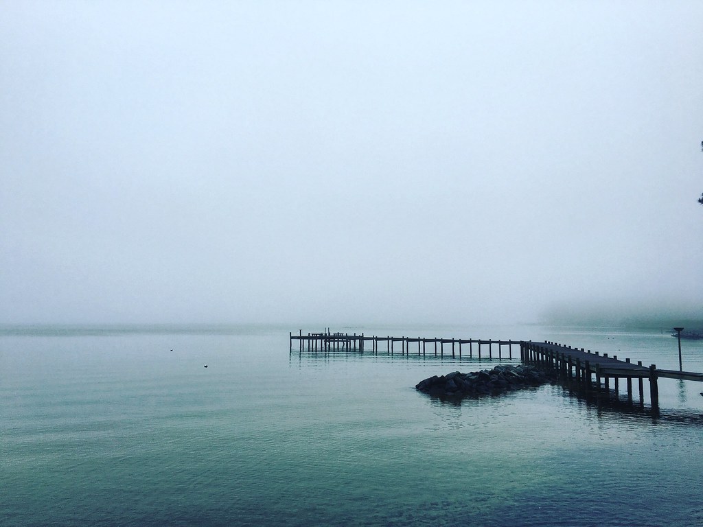
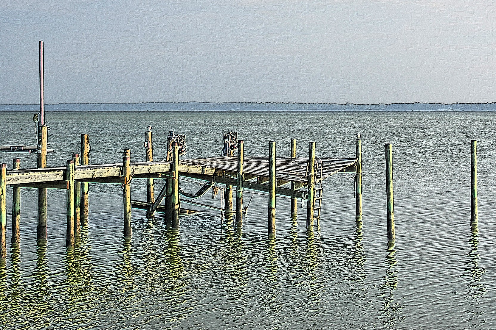
Piering Into the Mist

Godfrey Bay, Cobbs Creek Virginia 5:44 p.m. 2/20/16
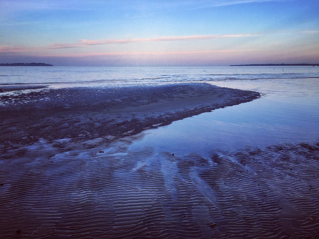
Low Tide at Hallieford Beach, Piankatank River, Mathews Virginia 4:30 p.m. 11/28/15

Marston Engagement Shoot

Time to Head Home
Inn at Woodstock - Approach
DSC03170tweaksmooth1DPP w
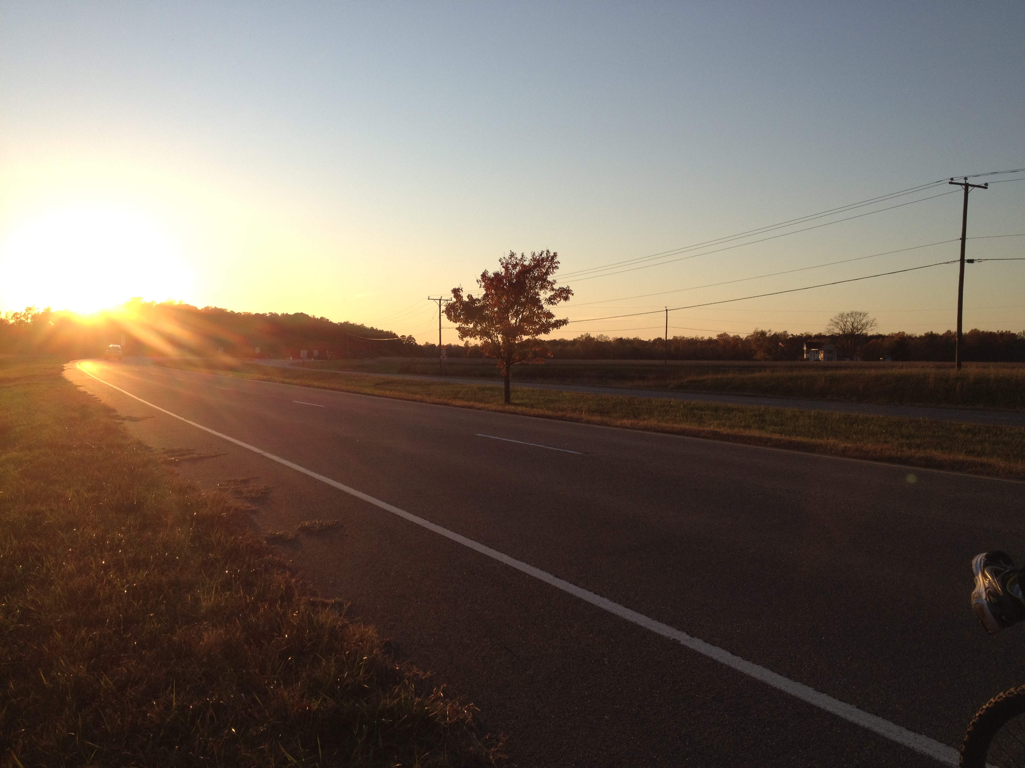
Lancaster County Virginia...a few shots from today's ride...
Topographic Map of Hartfield, VA, USA
Find elevation by address:

Places in Hartfield, VA, USA:
Places near Hartfield, VA, USA:
Hartfield, VA, USA
River Run Drive
Pine Top
48 Lakeview Dr
General Puller Hwy, Hartfield, VA, USA
12260 General Puller Hwy
526 Ridge Rd
526 Ridge Rd
Wake
1951 Twiggs Ferry Rd
427 Willow Ln
Villa Ridge Drive
1952 Wilton Creek Rd
59 Salt House Ln
Topping
50 Canton Dr
708 Shore Dr
Wading Creek Road
95 Hudgins Point Ln
504 Long Point Ln
Recent Searches:
- Elevation of Corso Fratelli Cairoli, 35, Macerata MC, Italy
- Elevation of Tallevast Rd, Sarasota, FL, USA
- Elevation of 4th St E, Sonoma, CA, USA
- Elevation of Black Hollow Rd, Pennsdale, PA, USA
- Elevation of Oakland Ave, Williamsport, PA, USA
- Elevation of Pedrógão Grande, Portugal
- Elevation of Klee Dr, Martinsburg, WV, USA
- Elevation of Via Roma, Pieranica CR, Italy
- Elevation of Tavkvetili Mountain, Georgia
- Elevation of Hartfords Bluff Cir, Mt Pleasant, SC, USA