Elevation of Ridge Rd, Hartfield, VA, USA
Location: United States > Virginia > Middlesex County > Pine Top > Hartfield >
Longitude: -76.458790
Latitude: 37.5325889
Elevation: 5m / 16feet
Barometric Pressure: 101KPa
Elevation Map:
Satellite Map:
Related Photos:

Telephone 2

Symmetrical Bedroom

2014.09.02 195K Views
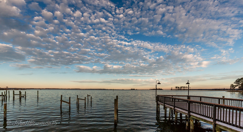
"Popcorn" Sky
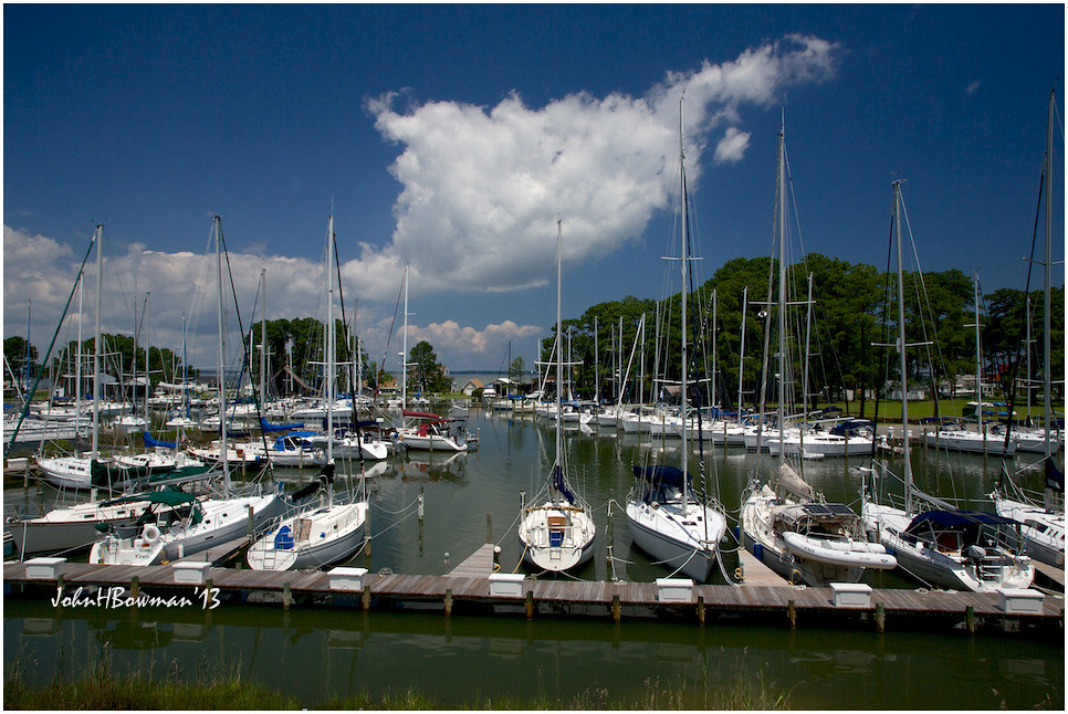
View from Lighthouse - Stingray Point Marina
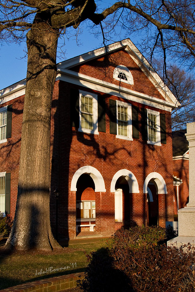
Old Middlesex Courthouse
View from the Road to Towles Point, Lancaster County, VA
Sheltering Arms

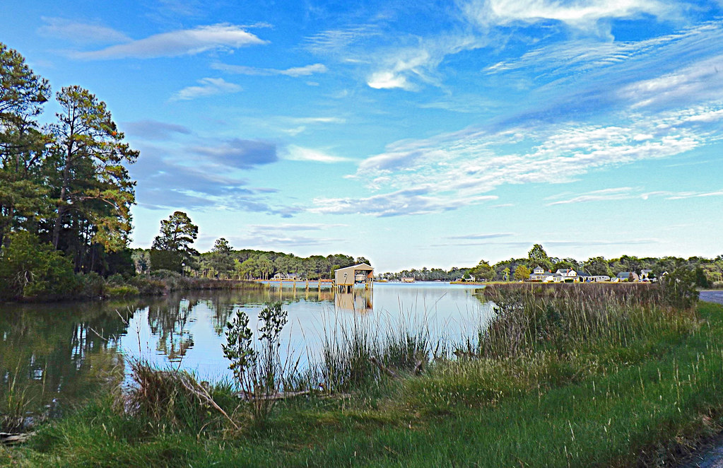
Dock & Cloud-Virginia
Inn at Woodstock - River view at sunset
1943 Fairchild PT-19

Rest-Virginia
Inn at Woodstock - River view at sunset
Far Away From Home-Virginia

A View
Inn at Woodstock - View across the field
M-016 Urbanna, Virginia.
Inn at Woodstock - River view
Norris Bridge
Inn at Woodstock - View from balcony
Locklies Marina, Near Chesapeake Bay
Storm over Chesapeake Bay from Godfrey Bay, Mathews County Virginia 5:58 p.m. 2/25/17

Sunset on Sturgeon Creek - Deltaville, VA
Above The Fields

Finally [Explored!]
DSC03177 w

Locklies Creek, Topping Virginia 7:20 p.m. 6/10/16

Storm Off Stingray Point
#8544 - white_house_sunset
Stingray point
DSC03185 w
Beaver Dam Park
Stormy: Godfrey Bay, Mathews County Virginia. 8:45 p.m. 7/8/16

Sturgeon Creek

This Morning. Godfrey Bay, Cobbs Creek Virginia. 5:35 a.m. 7/9/16

Marston Engagement Shoot
Piering Into the Mist
Low Tide at Hallieford Beach, Piankatank River, Mathews Virginia 4:30 p.m. 11/28/15
Inn at Woodstock - Approach
Godfrey Bay, Cobbs Creek Virginia 5:44 p.m. 2/20/16
Topographic Map of Ridge Rd, Hartfield, VA, USA
Find elevation by address:

Places near Ridge Rd, Hartfield, VA, USA:
526 Ridge Rd
48 Lakeview Dr
River Run Drive
Hartfield, VA, USA
General Puller Hwy, Hartfield, VA, USA
Hartfield
Pine Top
1951 Twiggs Ferry Rd
Dutton
708 Shore Dr
12260 General Puller Hwy
Villa Ridge Drive
Wading Creek Road
50 Canton Dr
1952 Wilton Creek Rd
Wake
10462 Figg Shop Rd
Freeport Rd, Gloucester Courthouse, VA, USA
1700 Windsor Rd
Dixie Drive
Recent Searches:
- Elevation of Hercules Dr, Colorado Springs, CO, USA
- Elevation of Szlak pieszy czarny, Poland
- Elevation of Griffing Blvd, Biscayne Park, FL, USA
- Elevation of Kreuzburger Weg 13, Düsseldorf, Germany
- Elevation of Gateway Blvd SE, Canton, OH, USA
- Elevation of East W.T. Harris Boulevard, E W.T. Harris Blvd, Charlotte, NC, USA
- Elevation of West Sugar Creek, Charlotte, NC, USA
- Elevation of Wayland, NY, USA
- Elevation of Steadfast Ct, Daphne, AL, USA
- Elevation of Lagasgasan, X+CQH, Tiaong, Quezon, Philippines