Elevation of Harpswell Islands Rd, Orr's Island, ME, USA
Location: United States > Maine > Cumberland County > Harpswell > Orr's Island >
Longitude: -69.952890
Latitude: 43.7813284
Elevation: 23m / 75feet
Barometric Pressure: 101KPa
Elevation Map:
Satellite Map:
Related Photos:

Leapin' Lizzie
Caution - Low Flying Clouds
Seguin Island Light
Summer Nights on Bailey Island

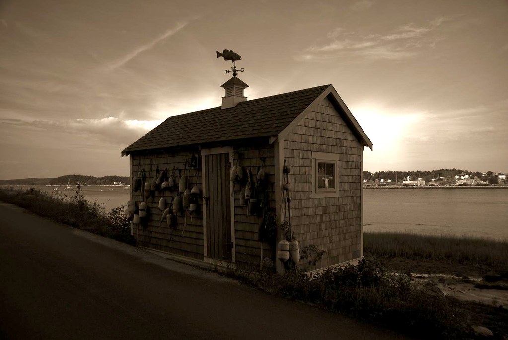
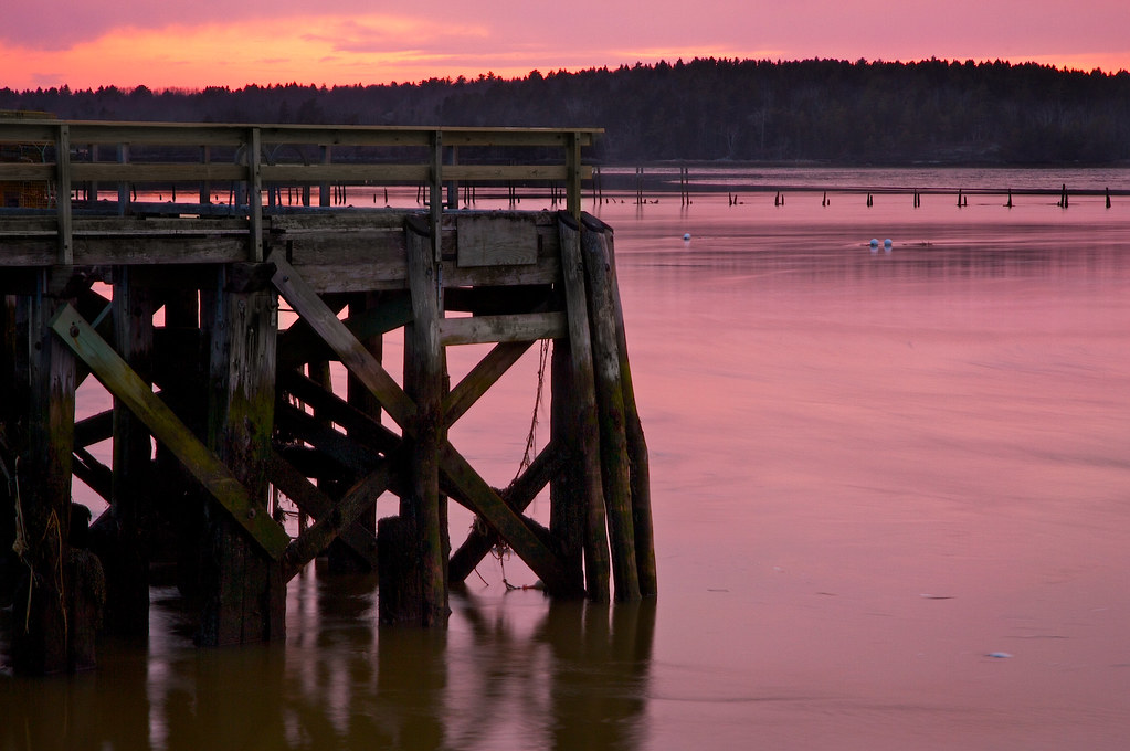
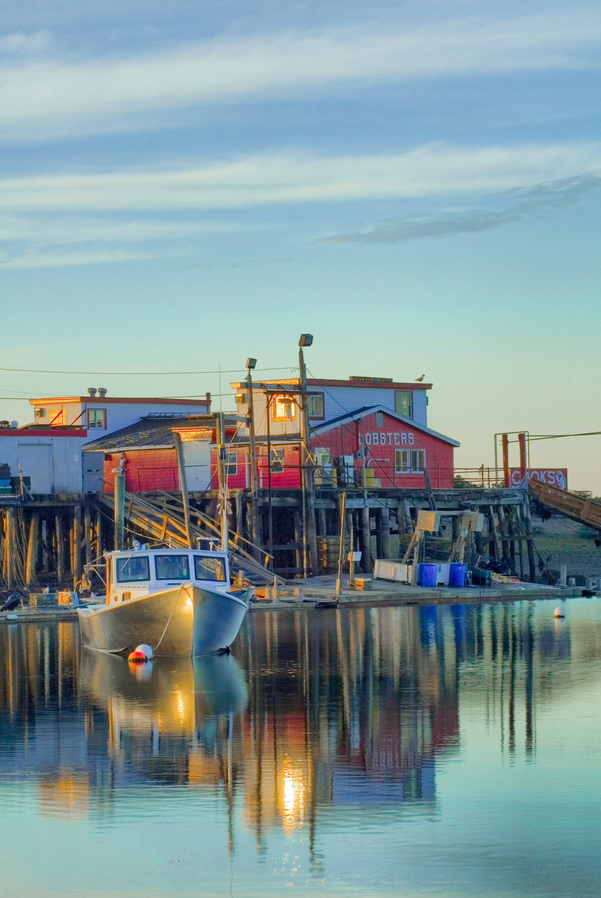
Lobster Shack
Surfs Up
Walk with Me
Super Moonshine: #13

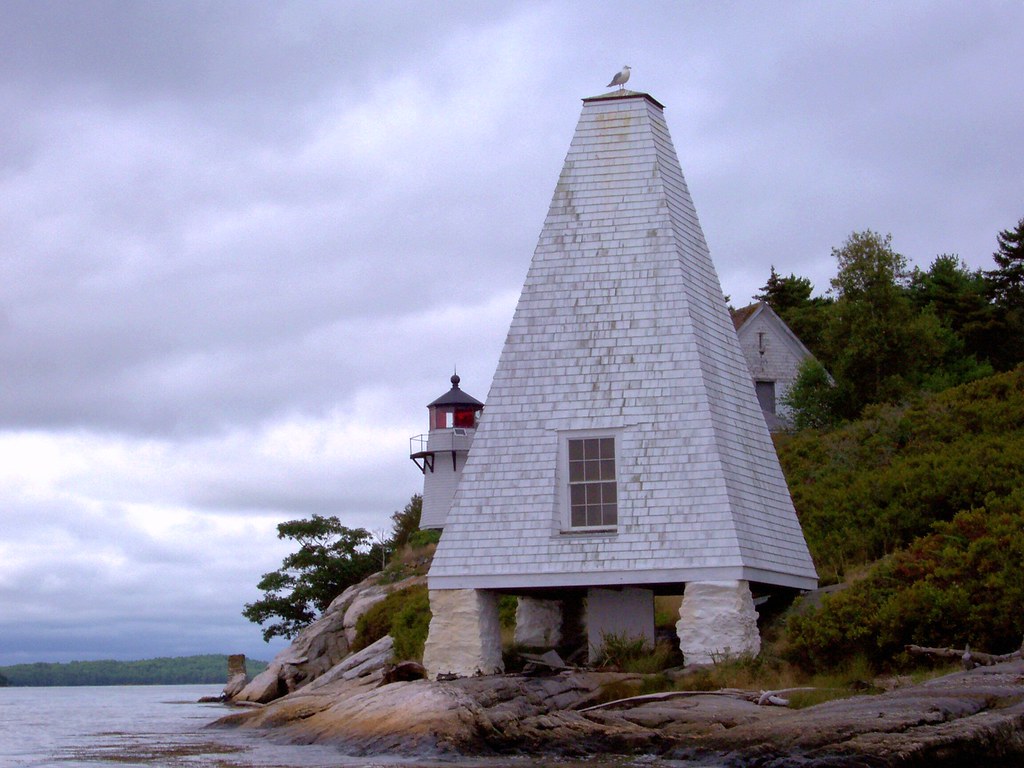
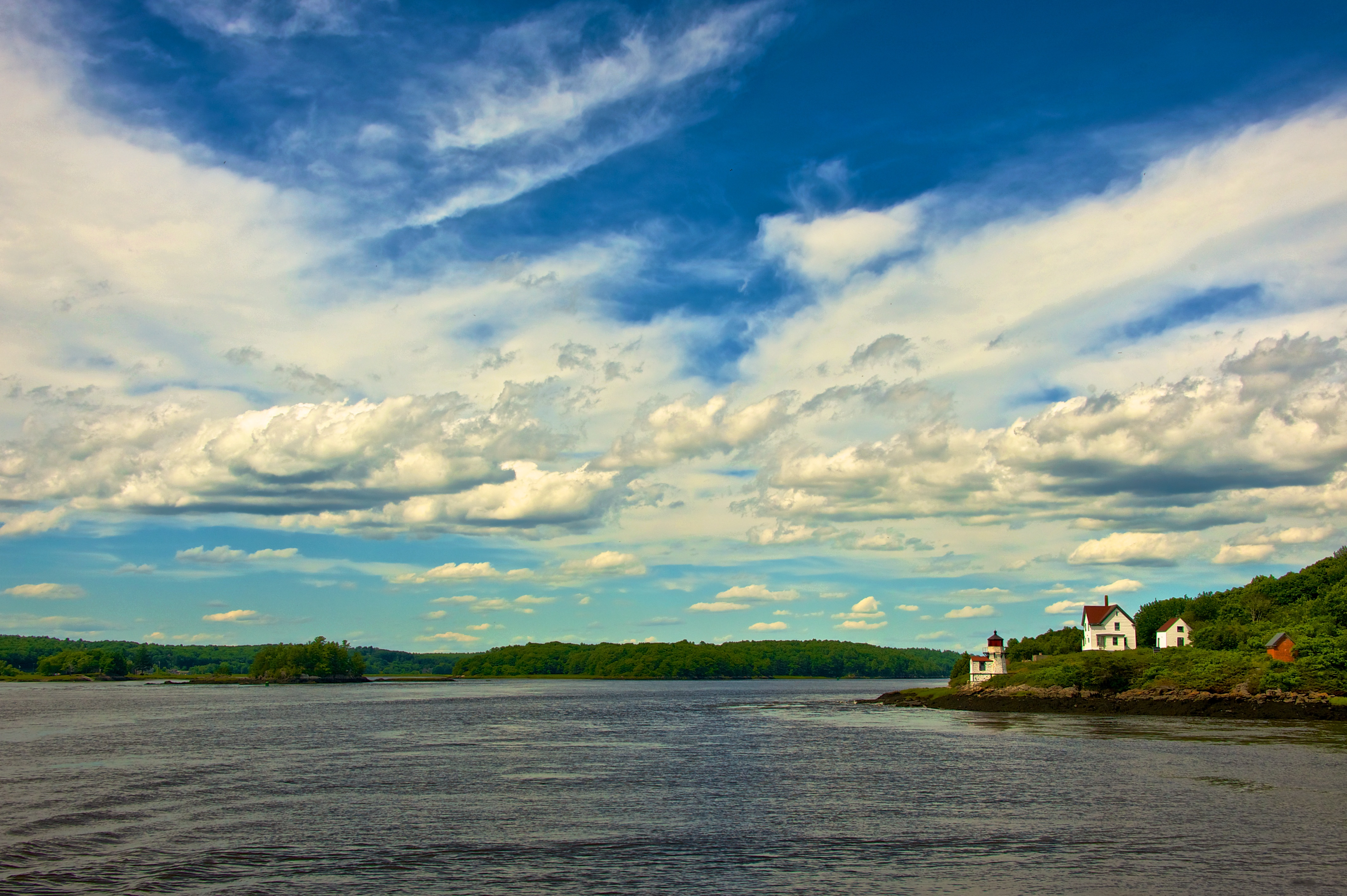
The Sentinel
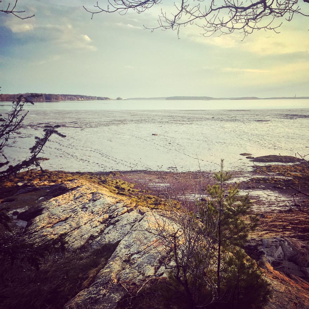
View towards Cristina Bridge from Harpswell.
The Sweetest Thing

Bailey Island, Maine
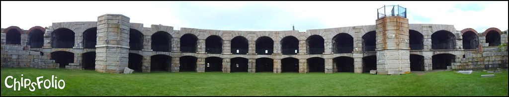
Fort Popham 180-Degree Panorama
they went that way :-{0}>
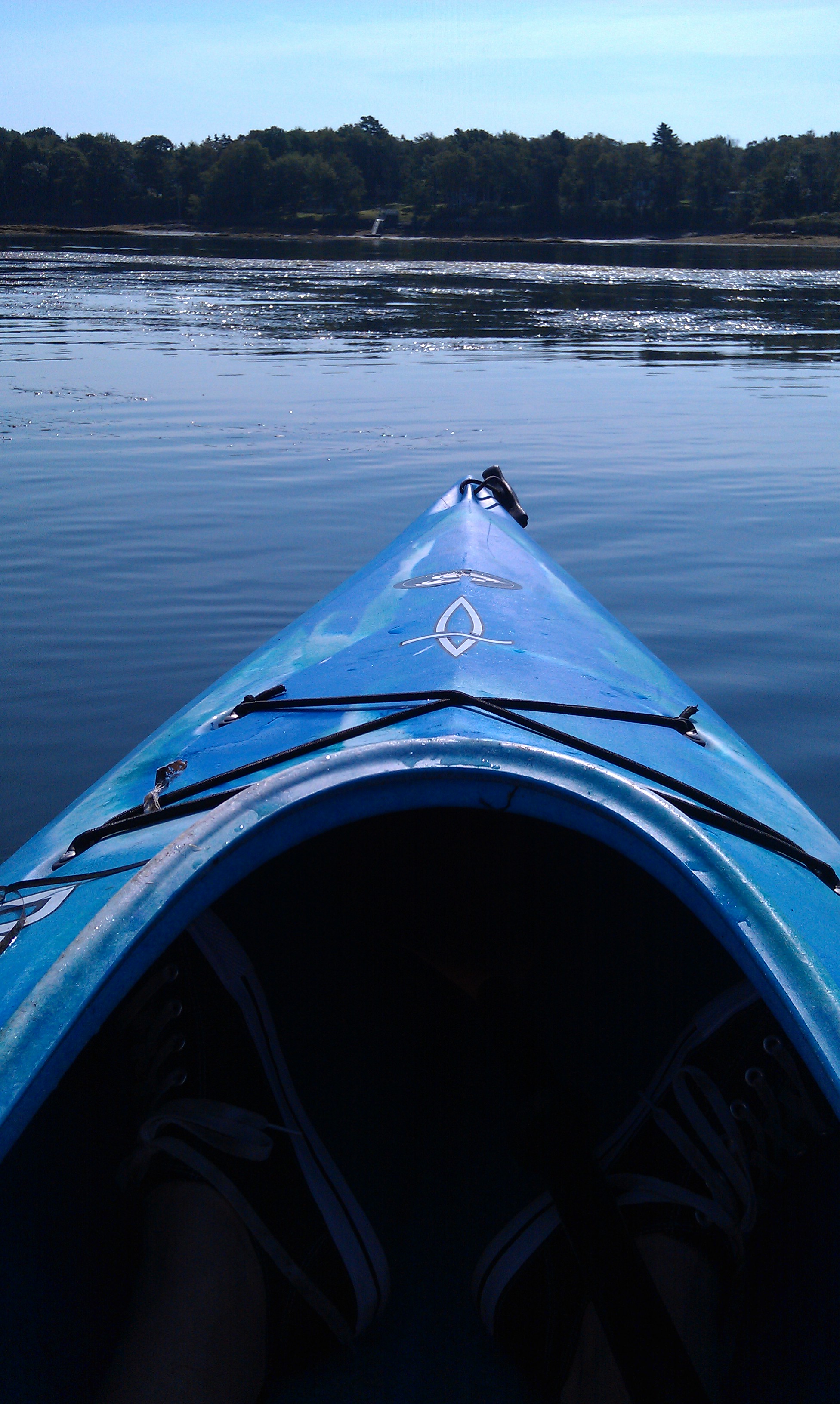
Early morning view from the kayak
Contrasting Architects
Perkins Island Lighthouse in the Kennebec River, off Georgetown, Maine (2)
20090908-_DSC0064
Littlejohn Island Sunrise
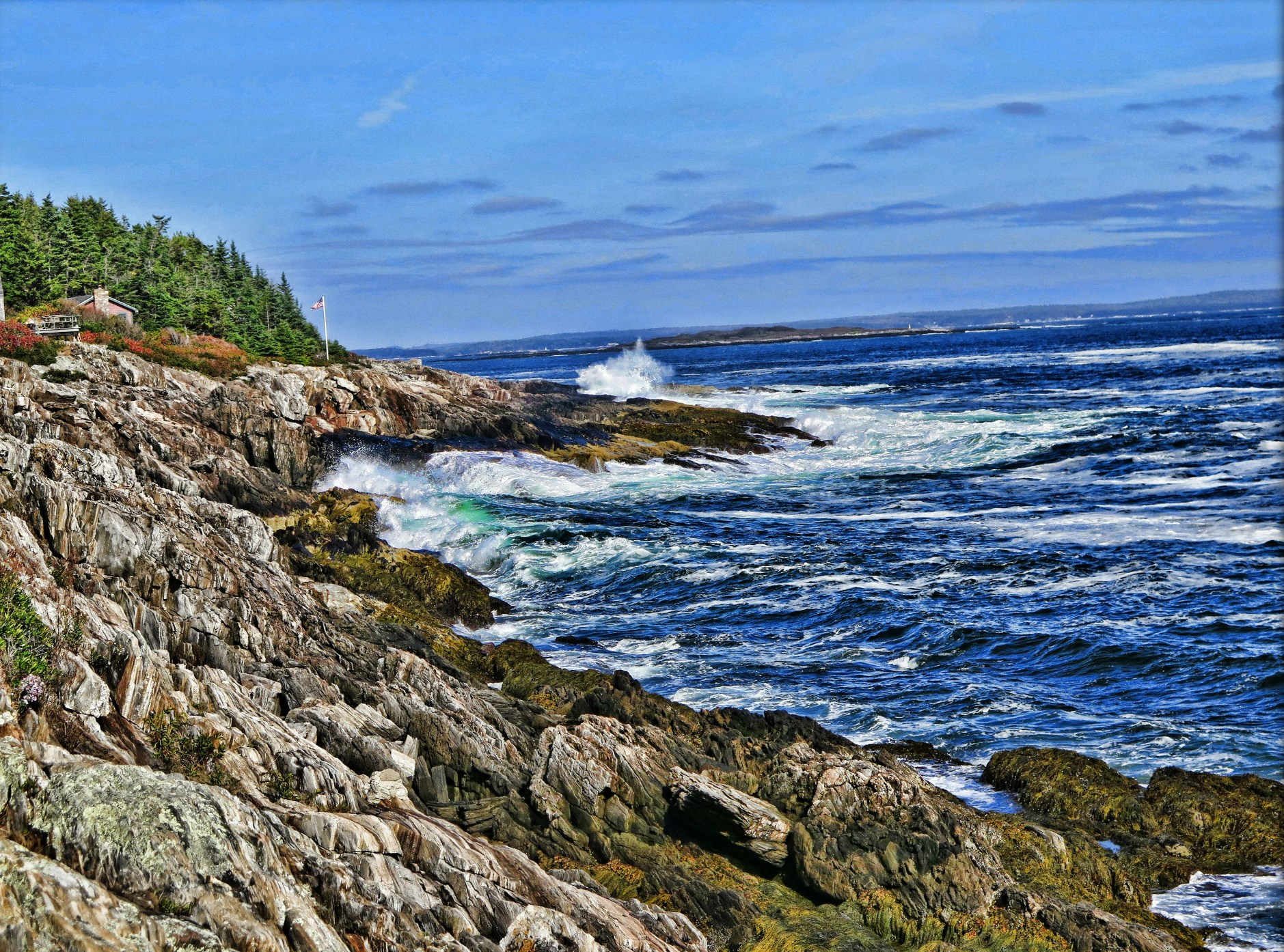
Rocky Coast of Maine
Where are you sleeping tonight? Cause this is the view from our tent.
Overlooking the Atlantic Ocean (phone HDR shot)
Cloud Shadows
Seasonal Limbo
Squirrel Point Light Station
Fresh Lobster

Mornin' cows
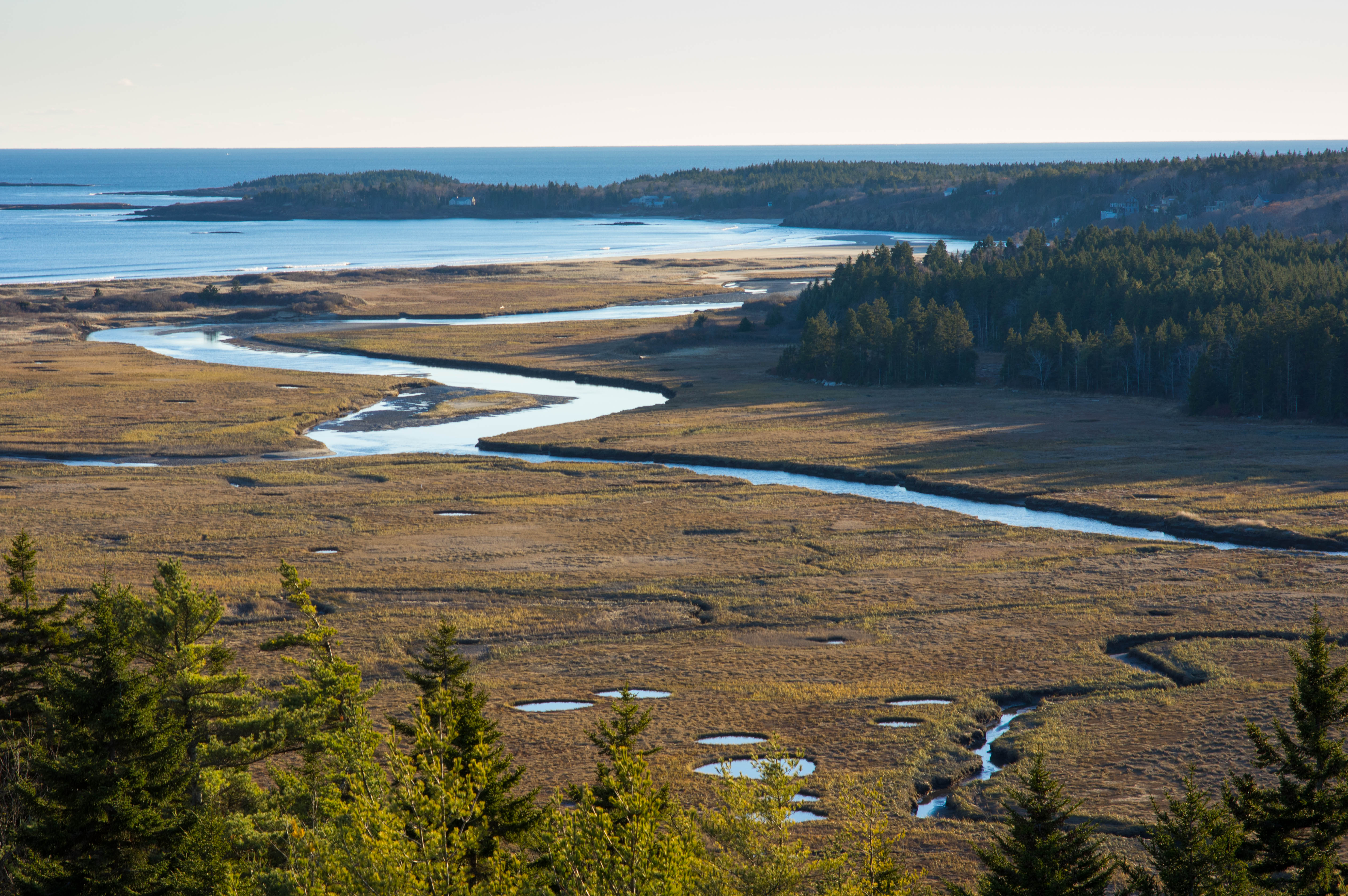
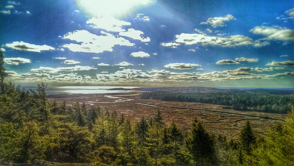
Sprague River Mouth

Misty Field 2

Low Tide - Wolfe's Neck Woods State Park
Low resolution but beautiful sunset
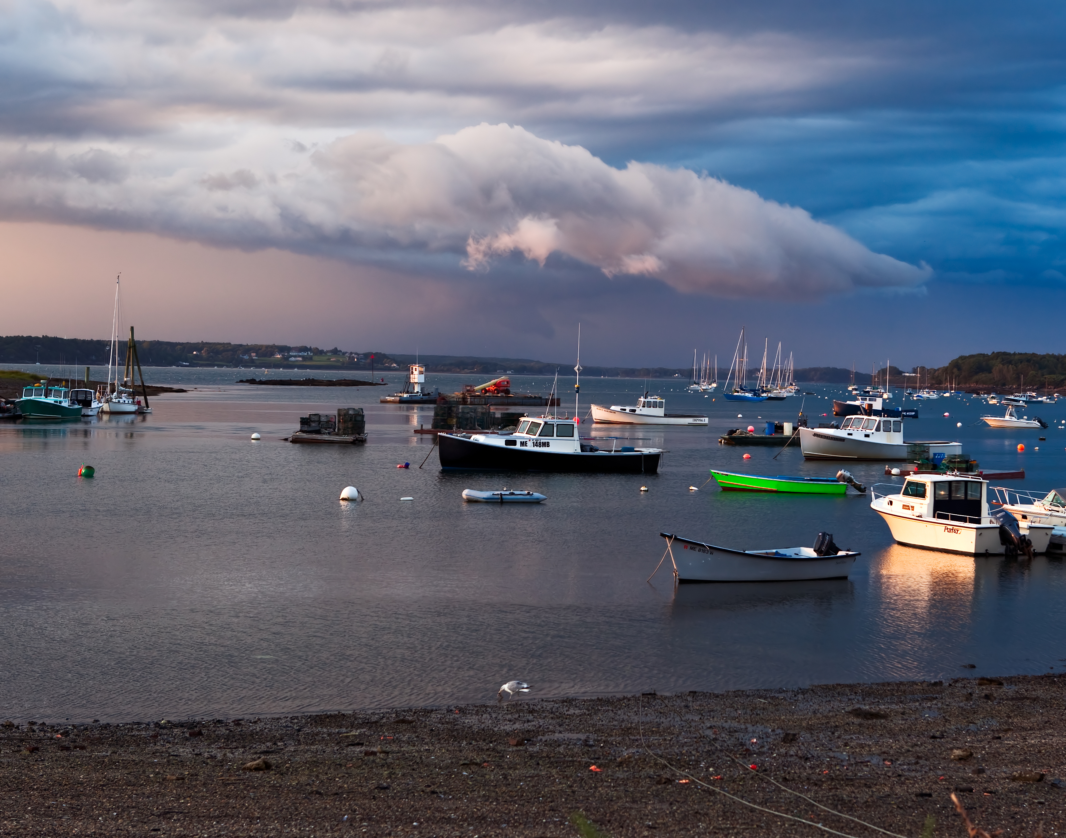
Storm over Garrison Cove

Mountainous clouds

PortlandCruise-128

Cliff Island
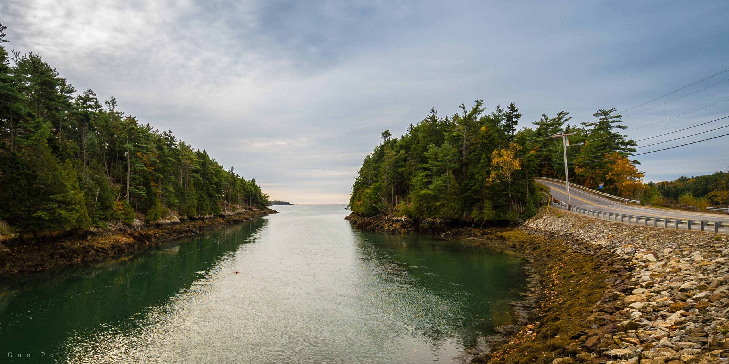
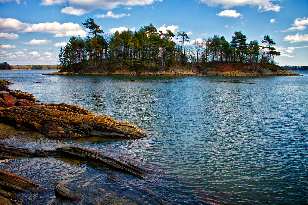
Gun Point Cove - Maine

Misty Field 1

in search of the miraculous DSC_0206_2356

131012_PER-21-Edit
Wolfes Neck Farm-8379
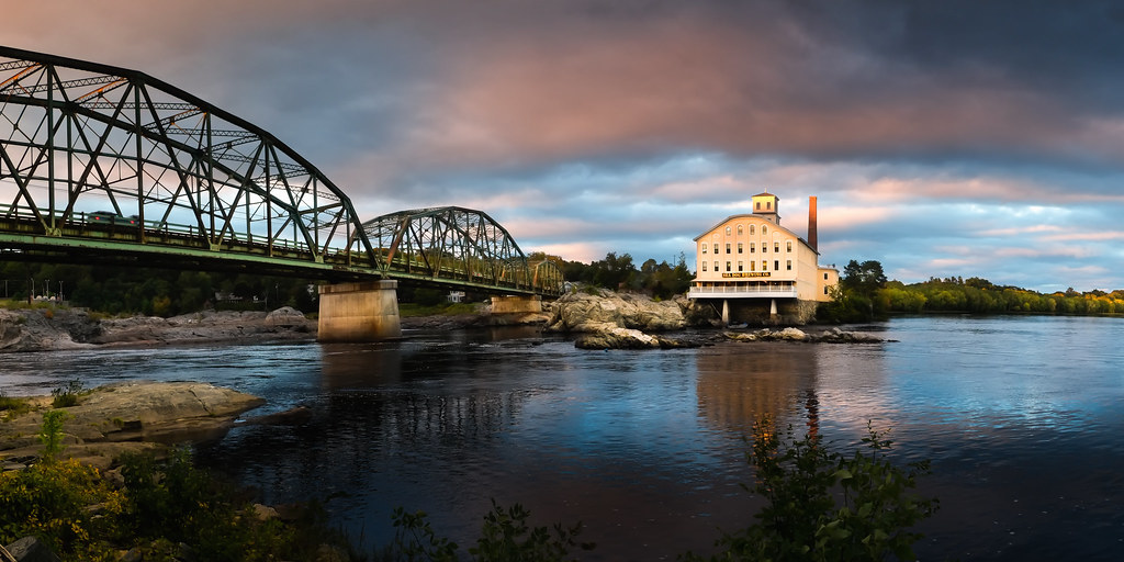
"Last Light" - Topsham, Maine, USA
Topographic Map of Harpswell Islands Rd, Orr's Island, ME, USA
Find elevation by address:

Places near Harpswell Islands Rd, Orr's Island, ME, USA:
Harpswell
The Tote Road
146 Reach Rd
Pinkham Point
Pinkham Point Rd, Harpswell, ME, USA
367 Mountain Rd
Hen Cove Road
Hen Cove Road
45 Taylor Rd
139 Tondreaus Point Rd
Watson Road
16 Holbrook St
132 Harpswell Neck Rd
Catlin Shore Road
Cundy's Harbor Rd, Harpswell, ME, USA
Ellen Way
Stonewall Road
24 Jasmine Ln
Mcpherson Lane
56 Blacks Landing Rd, Phippsburg, ME, USA
Recent Searches:
- Elevation of Lampiasi St, Sarasota, FL, USA
- Elevation of Elwyn Dr, Roanoke Rapids, NC, USA
- Elevation of Congressional Dr, Stevensville, MD, USA
- Elevation of Bellview Rd, McLean, VA, USA
- Elevation of Stage Island Rd, Chatham, MA, USA
- Elevation of Shibuya Scramble Crossing, 21 Udagawacho, Shibuya City, Tokyo -, Japan
- Elevation of Jadagoniai, Kaunas District Municipality, Lithuania
- Elevation of Pagonija rock, Kranto 7-oji g. 8"N, Kaunas, Lithuania
- Elevation of Co Rd 87, Jamestown, CO, USA
- Elevation of Tenjo, Cundinamarca, Colombia