Elevation of Watson Road, Watson Rd, Harpswell, ME, USA
Location: United States > Maine > Cumberland County > Harpswell >
Longitude: -69.892731
Latitude: 43.7925858
Elevation: 9m / 30feet
Barometric Pressure: 101KPa
Elevation Map:
Satellite Map:
Related Photos:

Take a peek...

Crossing over....

Summer Nights on Bailey Island

"Last Light" - Topsham, Maine, USA

Lobster Shack

Foggy Day

River 8_28_09
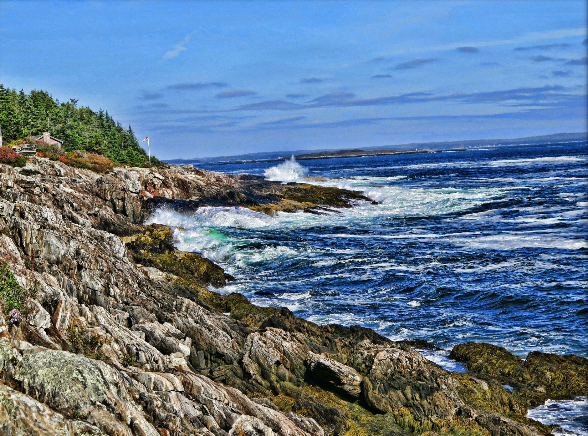
Rocky Coast of Maine

Surfs Up

Land's End Gift Shop

Fort Popham 180-Degree Panorama
Lookout Point

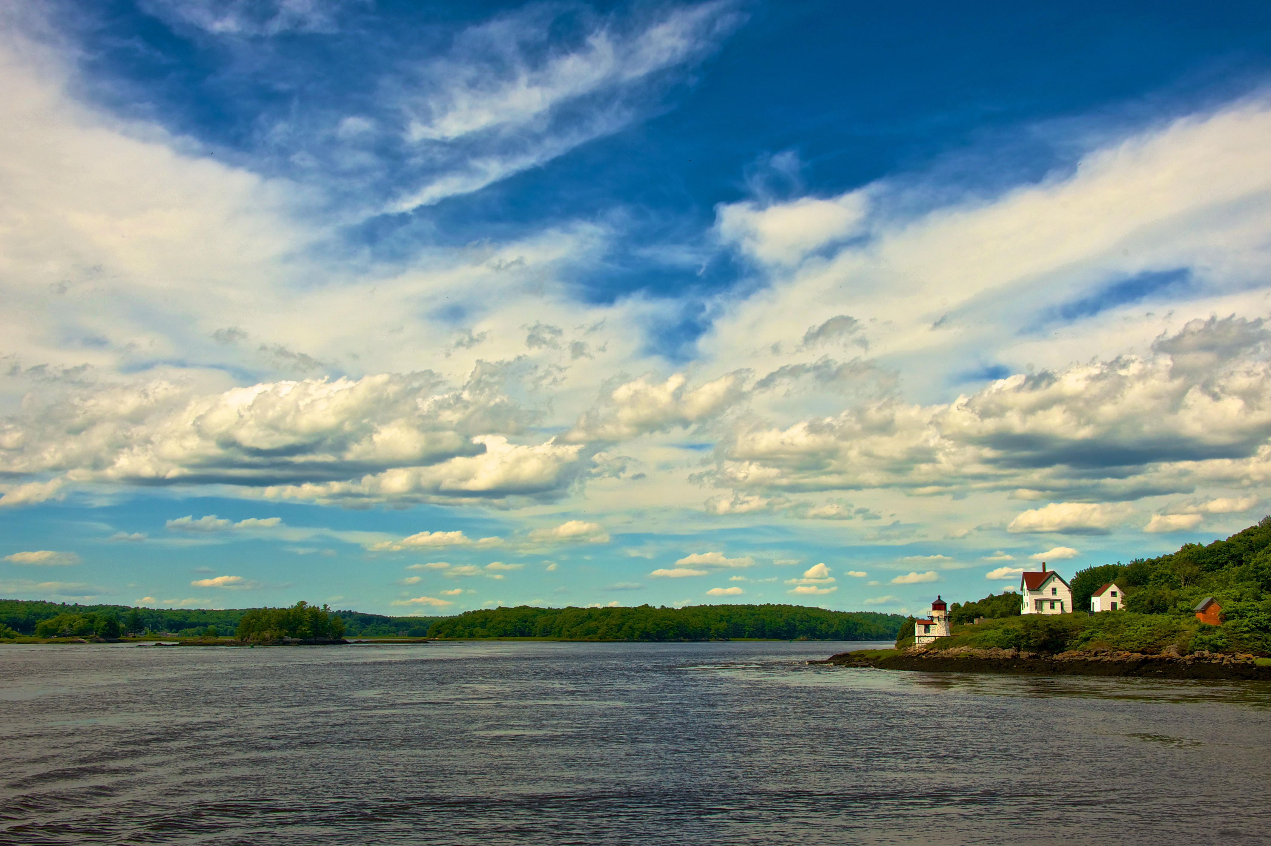
Perkins Island Lighthouse in the Kennebec River, off Georgetown, Maine (2)

Blue Angels

The Virginia

A View From The Bridge

Red Sails In The Sunset

Pond Island Lighthouse, off Popham, Maine

Caution - Low Flying Clouds

Misty Field 2

Bailey Island, Maine

Overlooking the Atlantic Ocean (phone HDR shot)

Seasonal Limbo

On the Androscoggin....

Misty autumn pond

Light In the Window II

Wolfe's Neck Woods

Allen's Seafood
Indian Point Beach
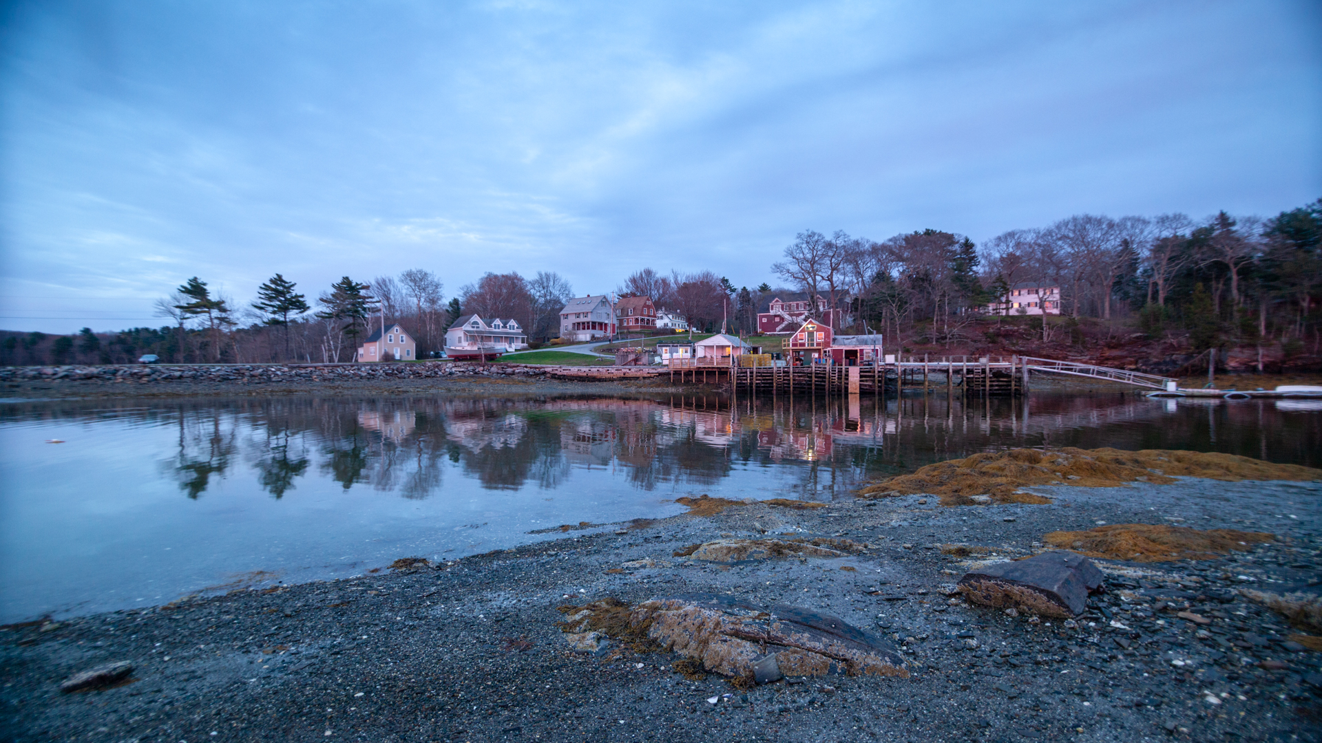
Fog In The Harbor

Gun Point Cove - Maine
Squirrel Point Light Station

Rock ledges, Reid State Park

DSC_0376.jpg

Giant's Stairs 7

Stage Island

DSC_0354.jpg

DSC_0373.jpg

Wolfe's Neck State Park

DSC_0388.jpg
Topographic Map of Watson Road, Watson Rd, Harpswell, ME, USA
Find elevation by address:

Places near Watson Road, Watson Rd, Harpswell, ME, USA:
16 Holbrook St
45 Taylor Rd
Hen Cove Road
Hen Cove Road
56 Blacks Landing Rd, Phippsburg, ME, USA
Catlin Shore Road
10 Narrows Ln
Pinkham Point
Pinkham Point Rd, Harpswell, ME, USA
139 Tondreaus Point Rd
Cundy's Harbor Rd, Harpswell, ME, USA
24 Jasmine Ln
Ellen Way
6 Kingfisher Cove
The Tote Road
367 Mountain Rd
146 Reach Rd
Mcpherson Lane
15 Aucocisco Ln
Sagamore Road
Recent Searches:
- Elevation of Côte-des-Neiges, Montreal, QC H4A 3J6, Canada
- Elevation of Bobcat Dr, Helena, MT, USA
- Elevation of Zu den Ihlowbergen, Althüttendorf, Germany
- Elevation of Badaber, Peshawar, Khyber Pakhtunkhwa, Pakistan
- Elevation of SE Heron Loop, Lincoln City, OR, USA
- Elevation of Slanický ostrov, 01 Námestovo, Slovakia
- Elevation of Spaceport America, Co Rd A, Truth or Consequences, NM, USA
- Elevation of Warwick, RI, USA
- Elevation of Fern Rd, Whitmore, CA, USA
- Elevation of 62 Abbey St, Marshfield, MA, USA