Elevation of 56 Blacks Landing Rd, Phippsburg, ME, USA
Location: United States > Maine > Sagadahoc County > Phippsburg >
Longitude: -69.867891
Latitude: 43.7815269
Elevation: 11m / 36feet
Barometric Pressure: 101KPa
Elevation Map:
Satellite Map:
Related Photos:
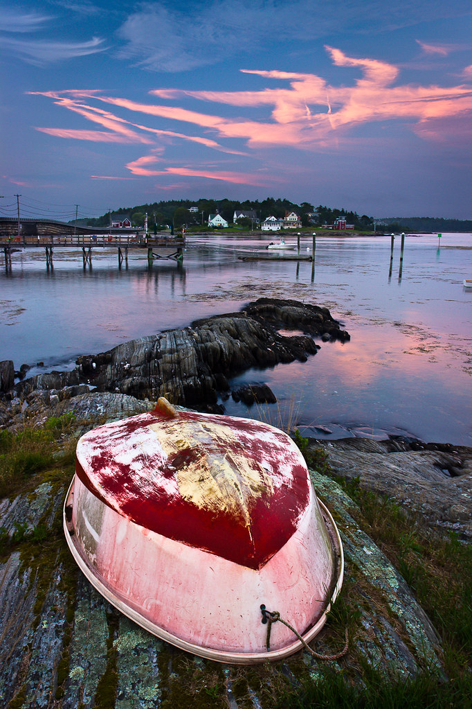
Summer Nights on Bailey Island

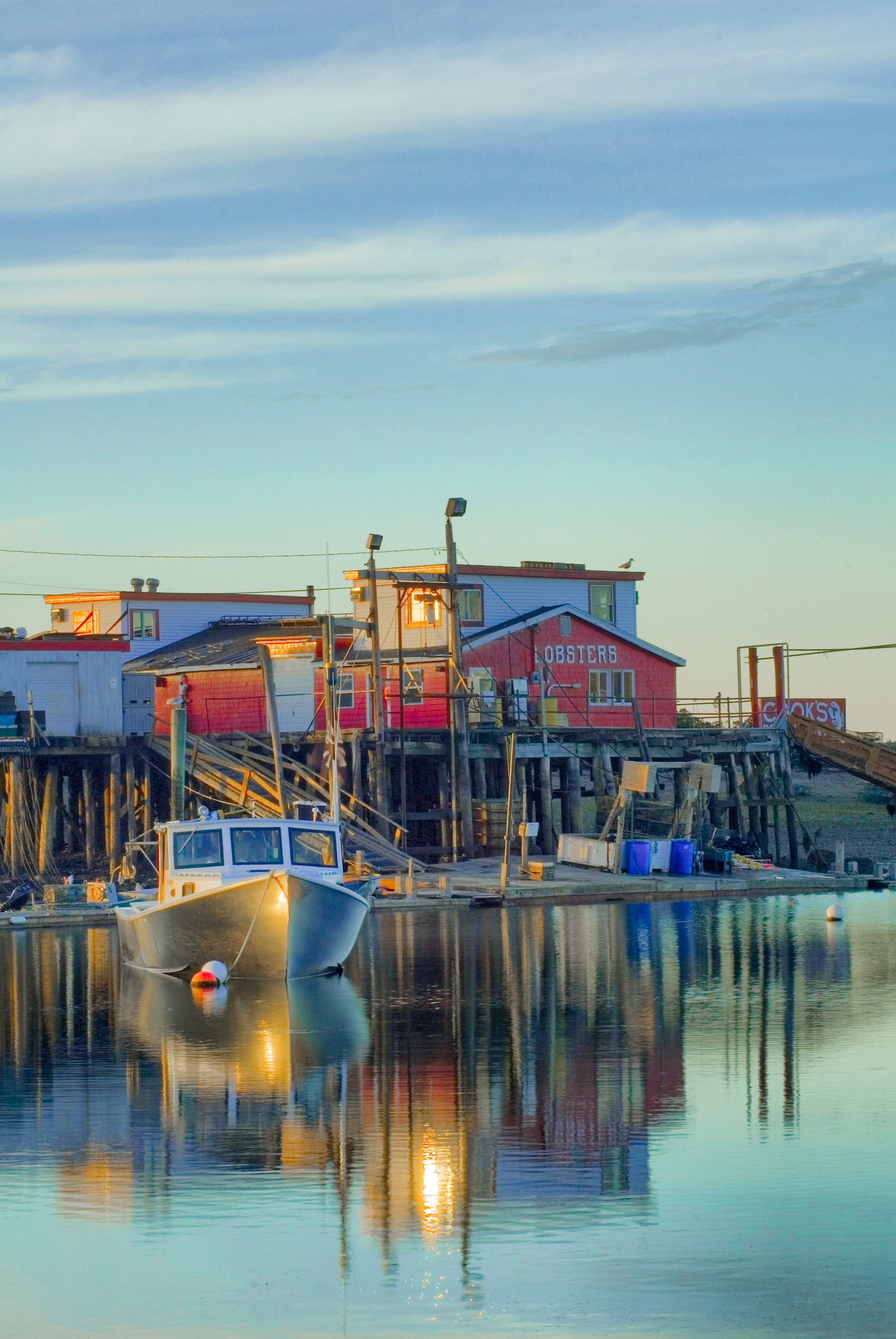
Lobster Shack

Iron Flower

Bailey Island, Maine
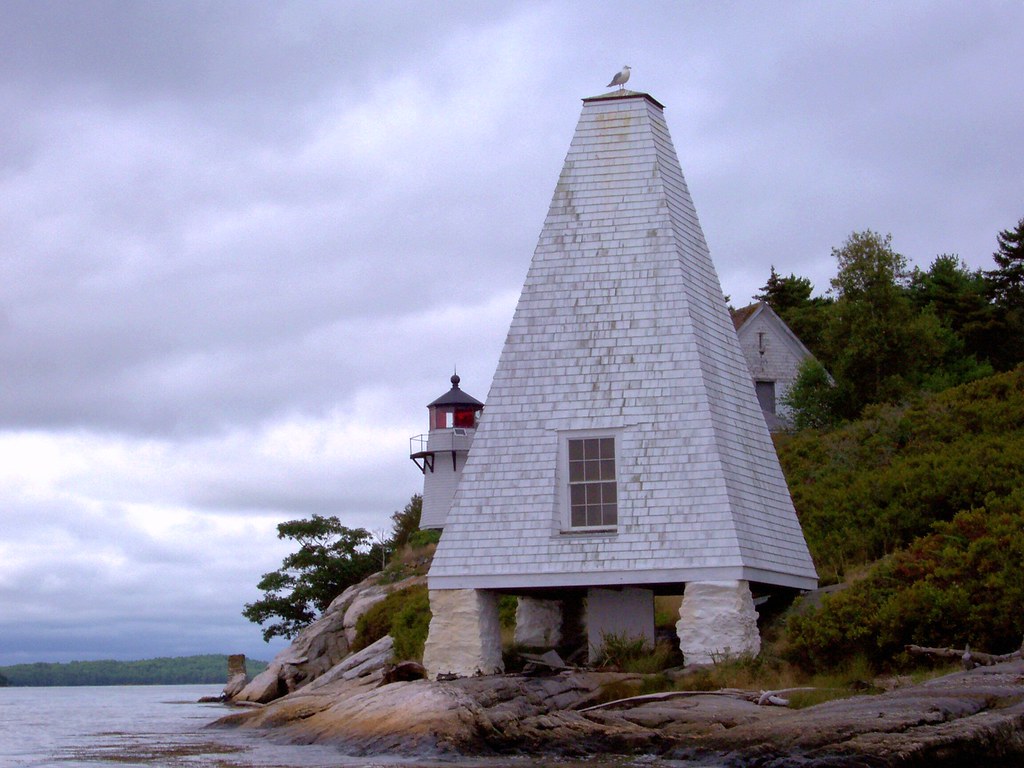
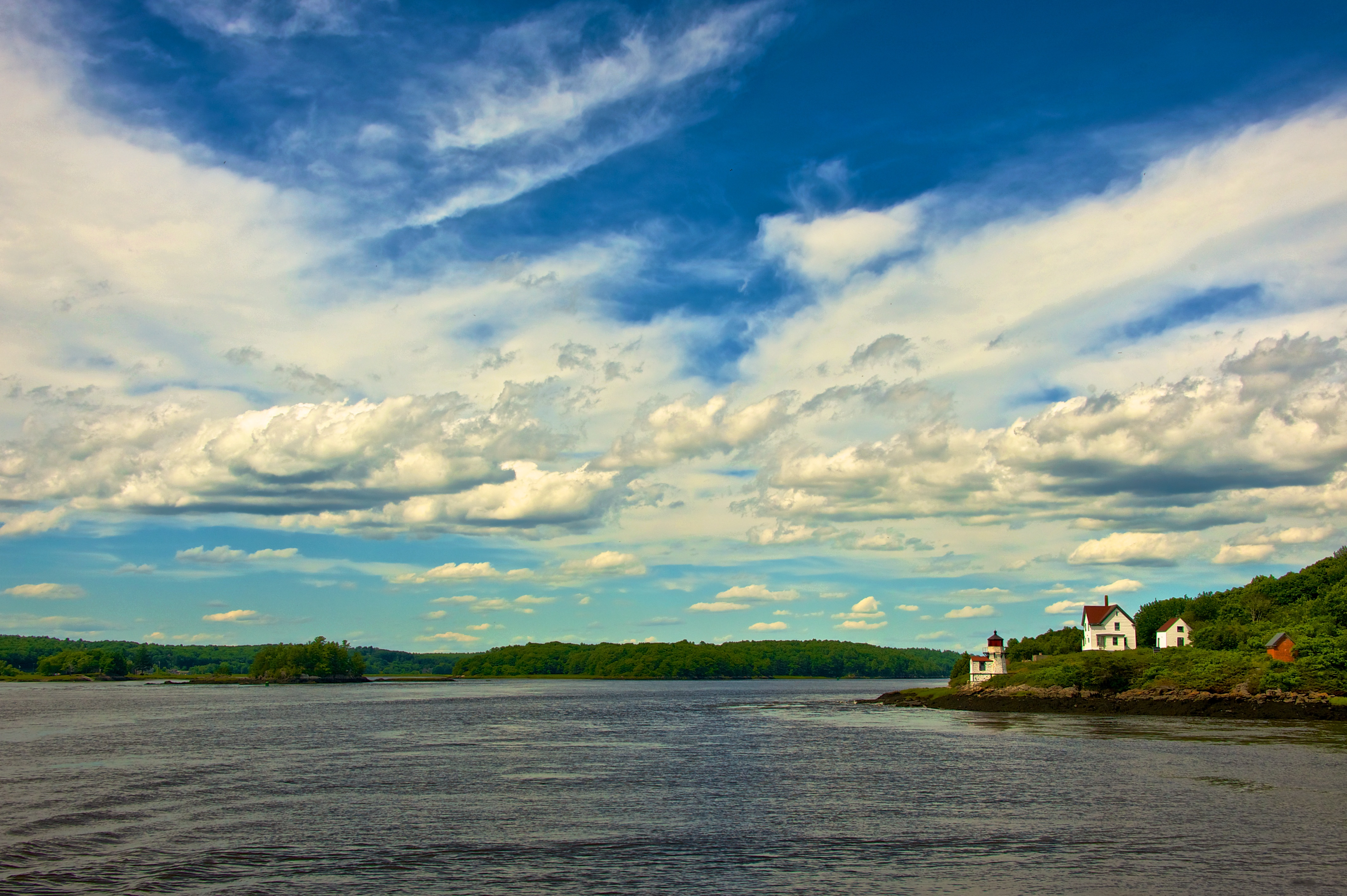
Perkins Island Lighthouse in the Kennebec River, off Georgetown, Maine (2)

Misty Weather on Birch Island
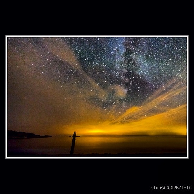
The Milky Way at Hermit Island Maine. The light in the center is Portland Maine and to the right is Biddeford Maine. A spectacular place to view the sky. #biddeford #chriscormier #headbeach #longexposure #milkyway #maine #night #galaxy #space #portland #b
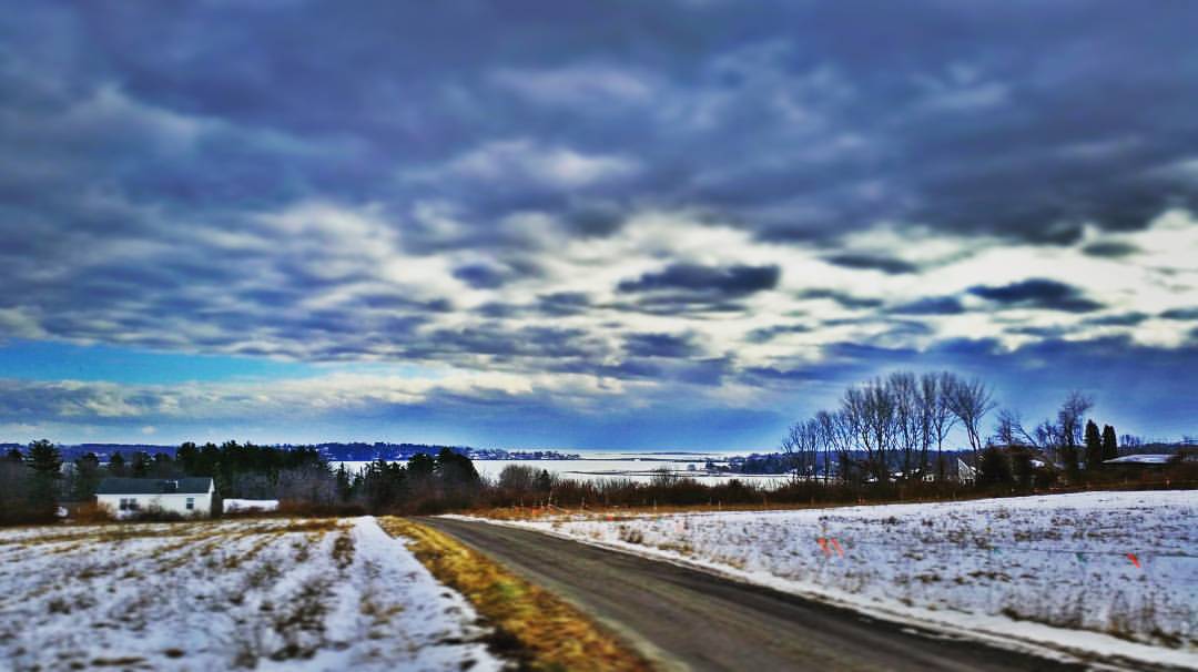
Caution - Low Flying Clouds
Seguin Island Light

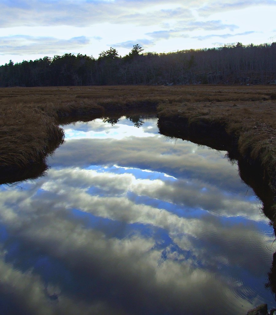
Misty Field 2

Misty Field 1
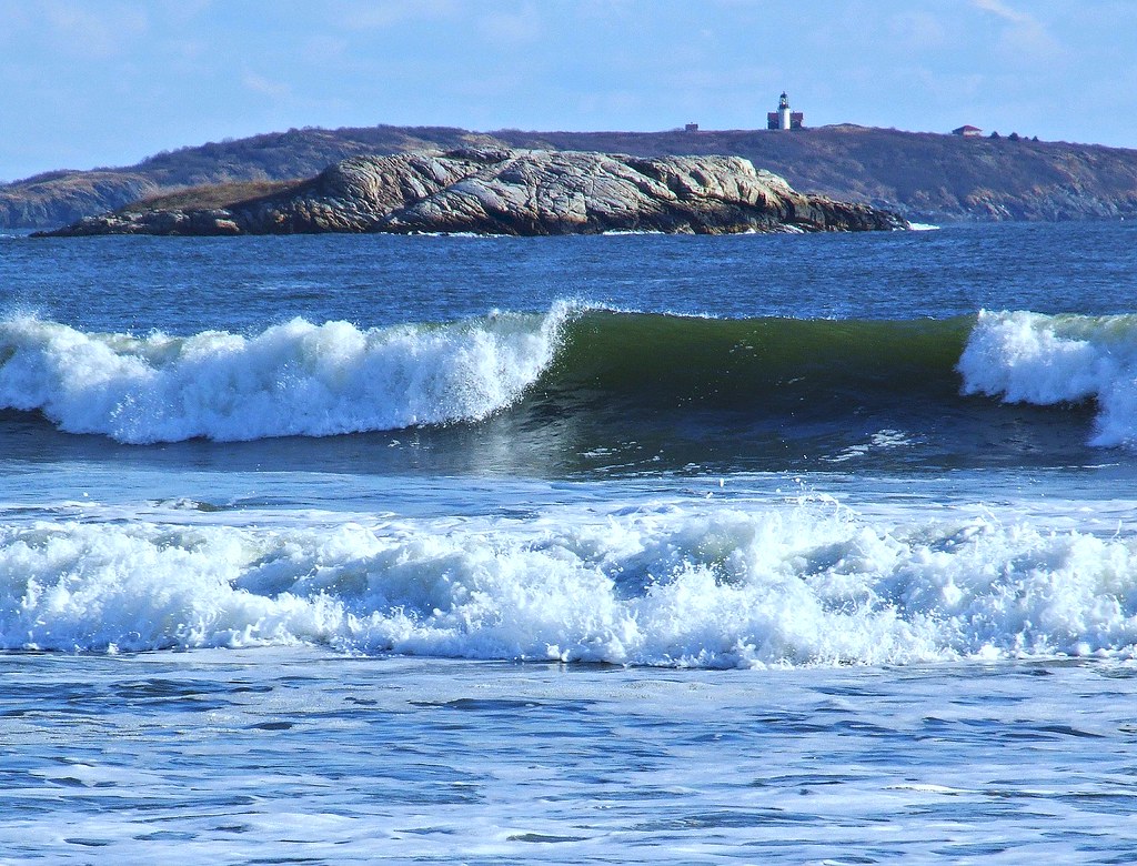
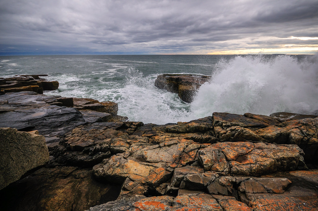
Surfs Up
Walk with Me
Super Moonshine: #13

The Sentinel
View towards Cristina Bridge from Harpswell.
The Sweetest Thing
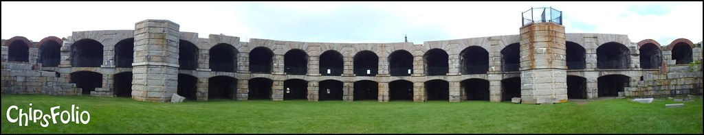
Fort Popham 180-Degree Panorama
they went that way :-{0}>
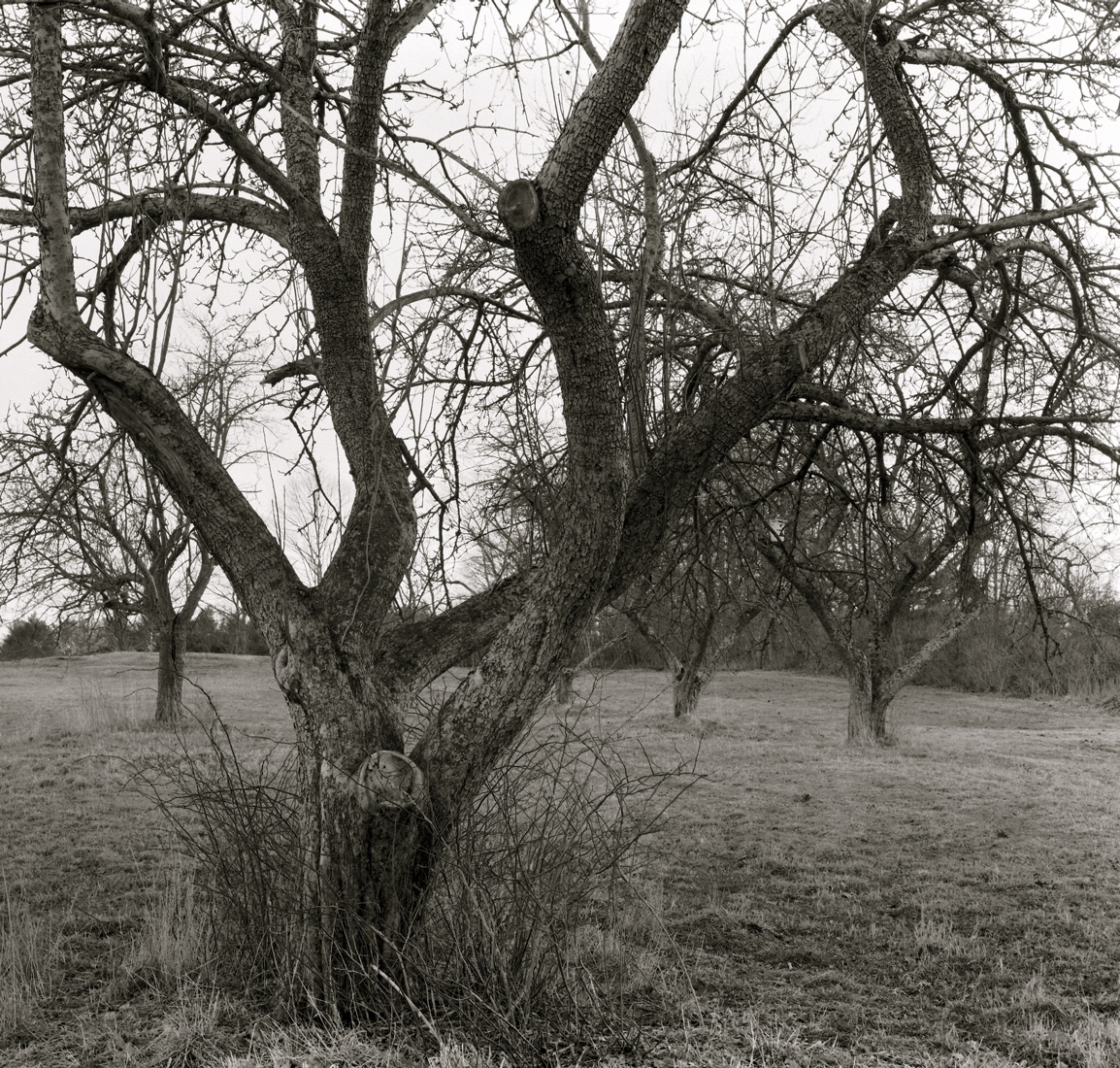
Orchard Hill, West Bath
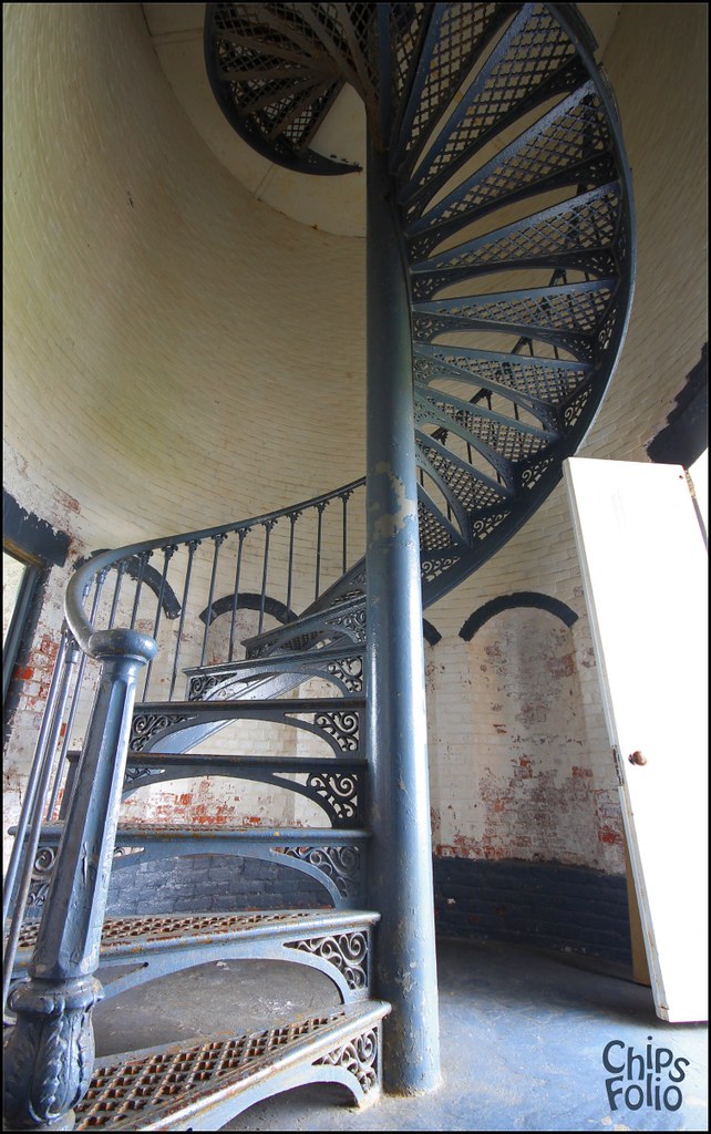
Seguin Island Light Staircase
Seasonal Limbo
Fresh Lobster

Reid State Park
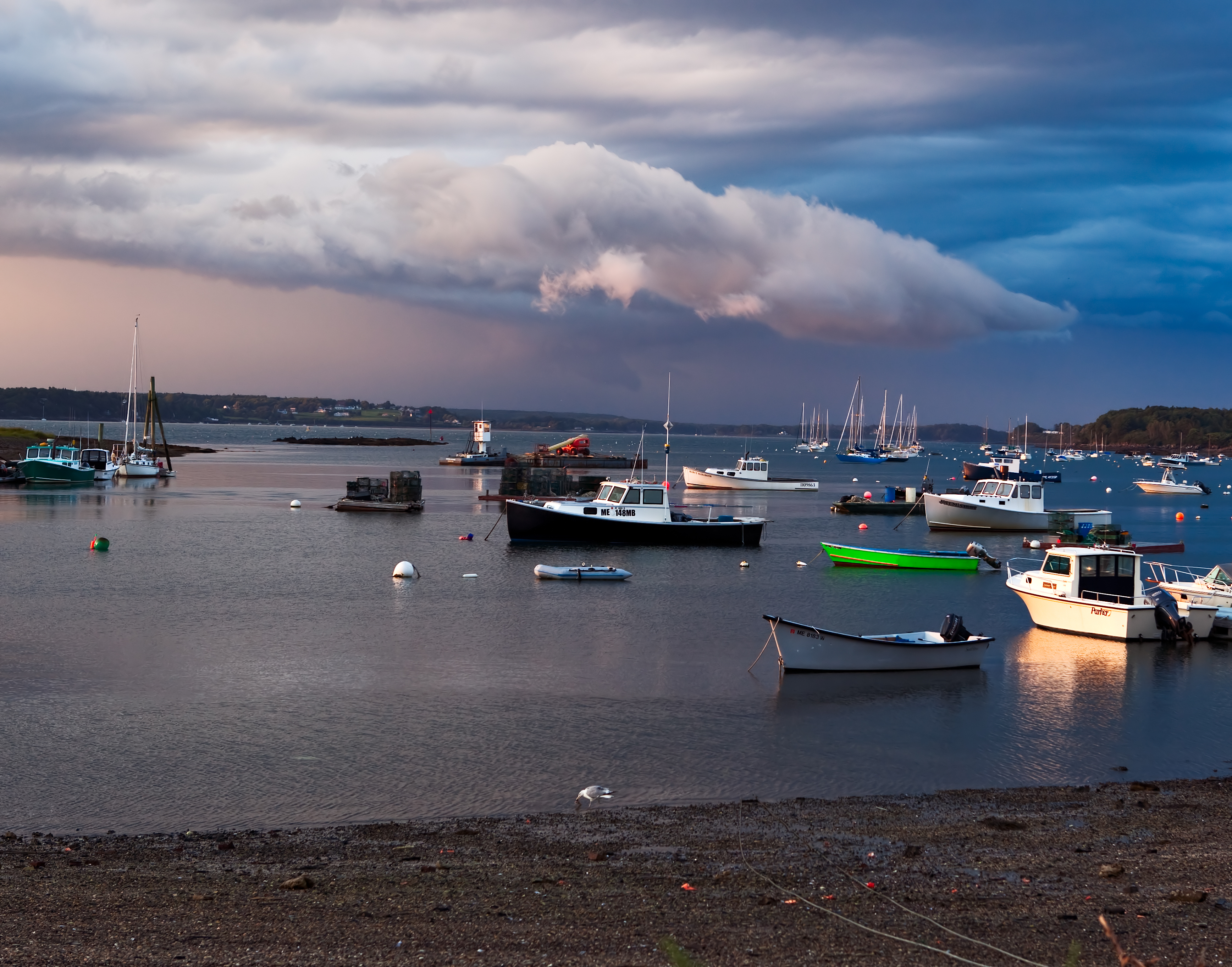
Storm over Garrison Cove
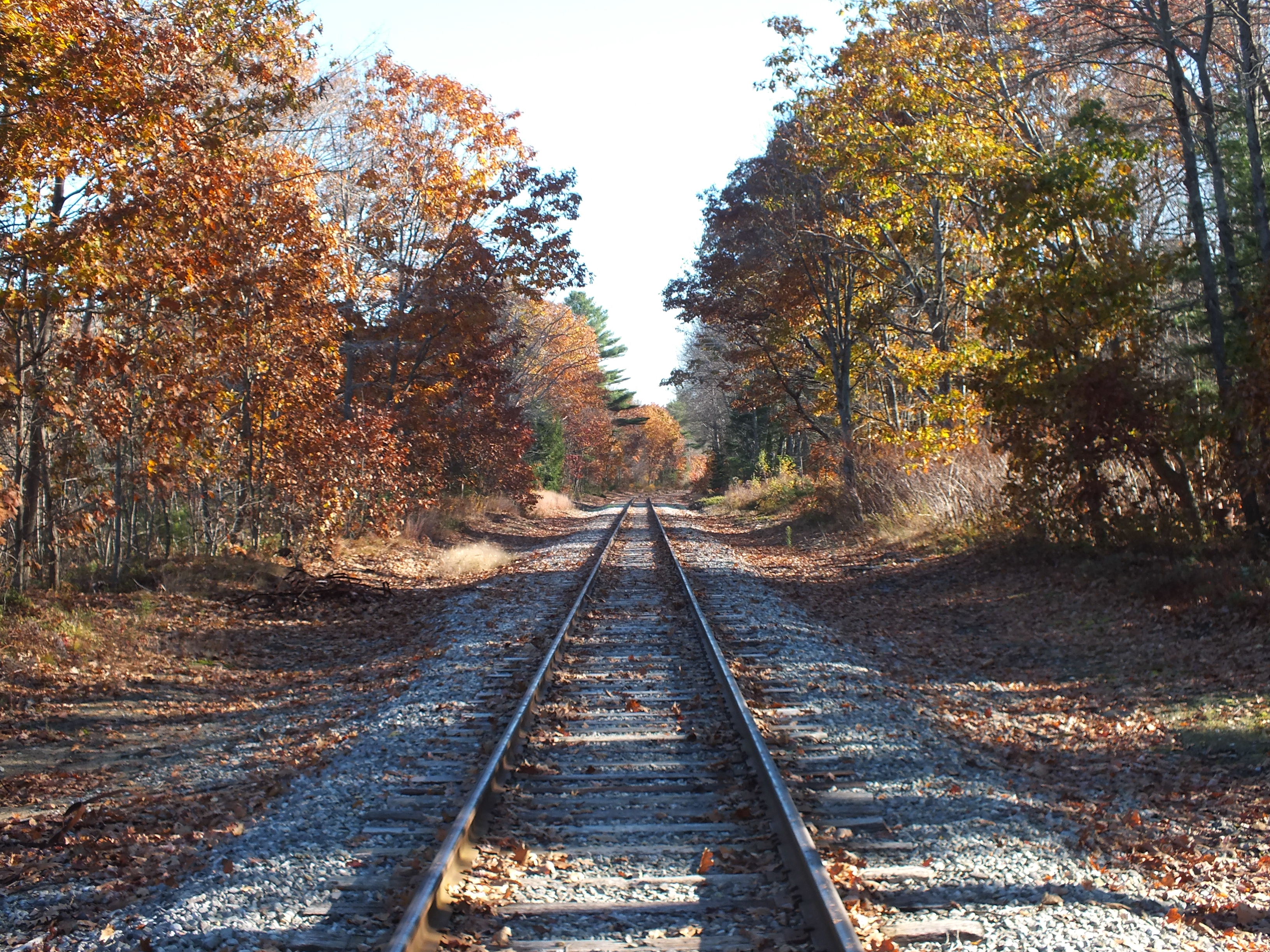
Quiet Railroad Tracks
in search of the miraculous DSC_0206_2356

Summer Fades Away
Overlooking the Atlantic Ocean (phone HDR shot)
Squirrel Point Light Station
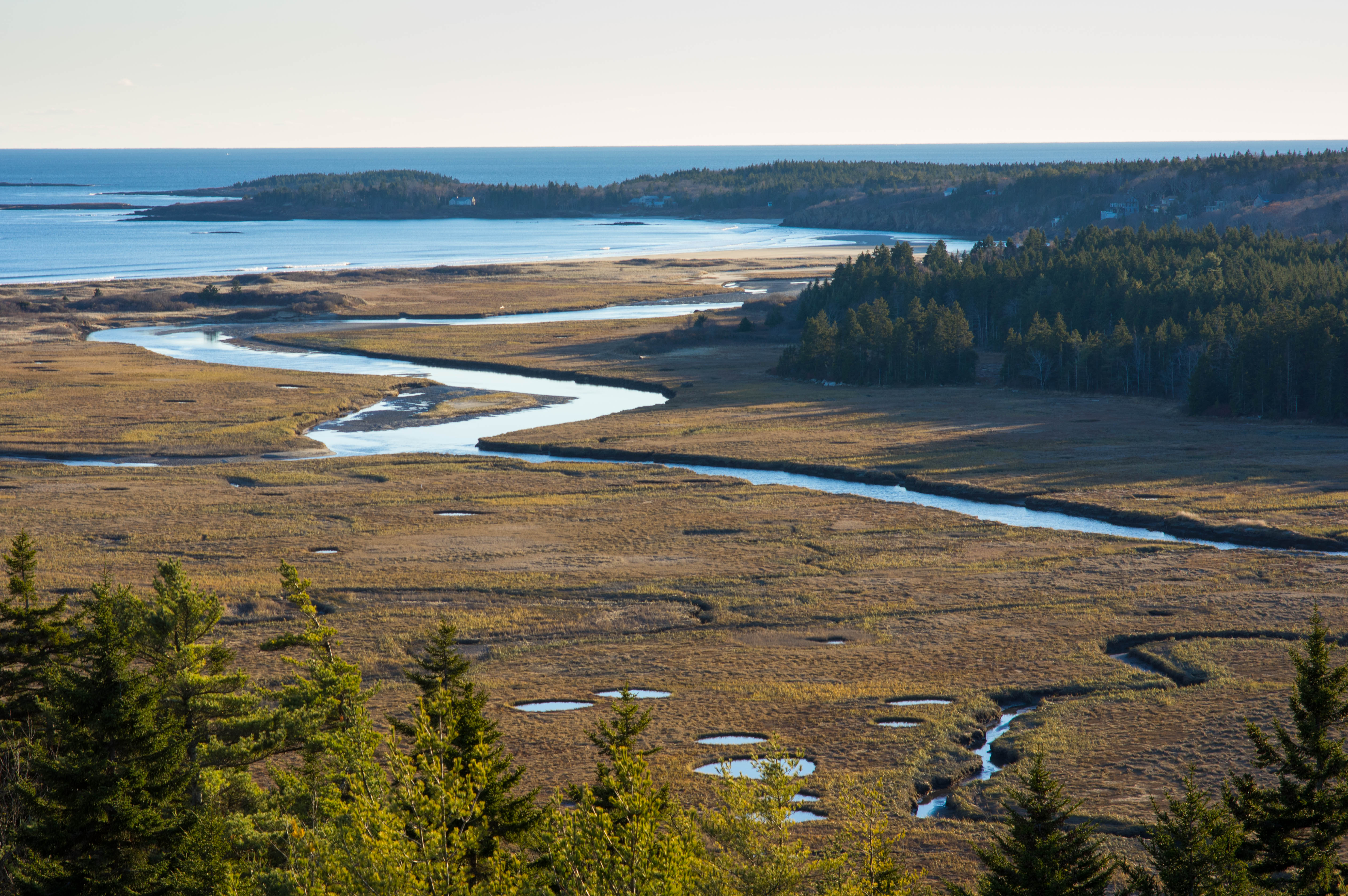
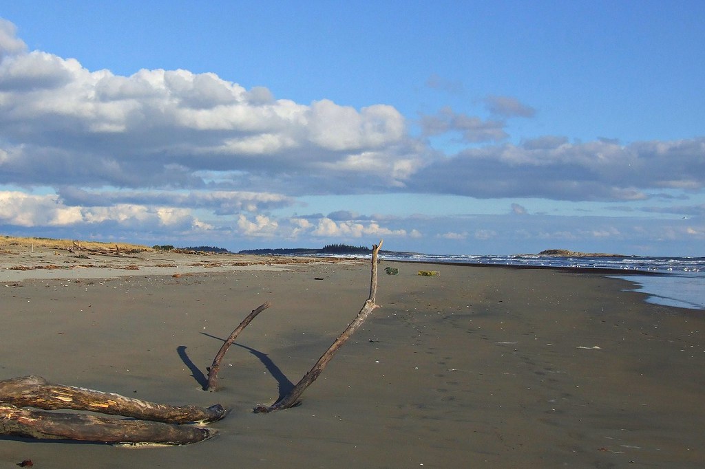
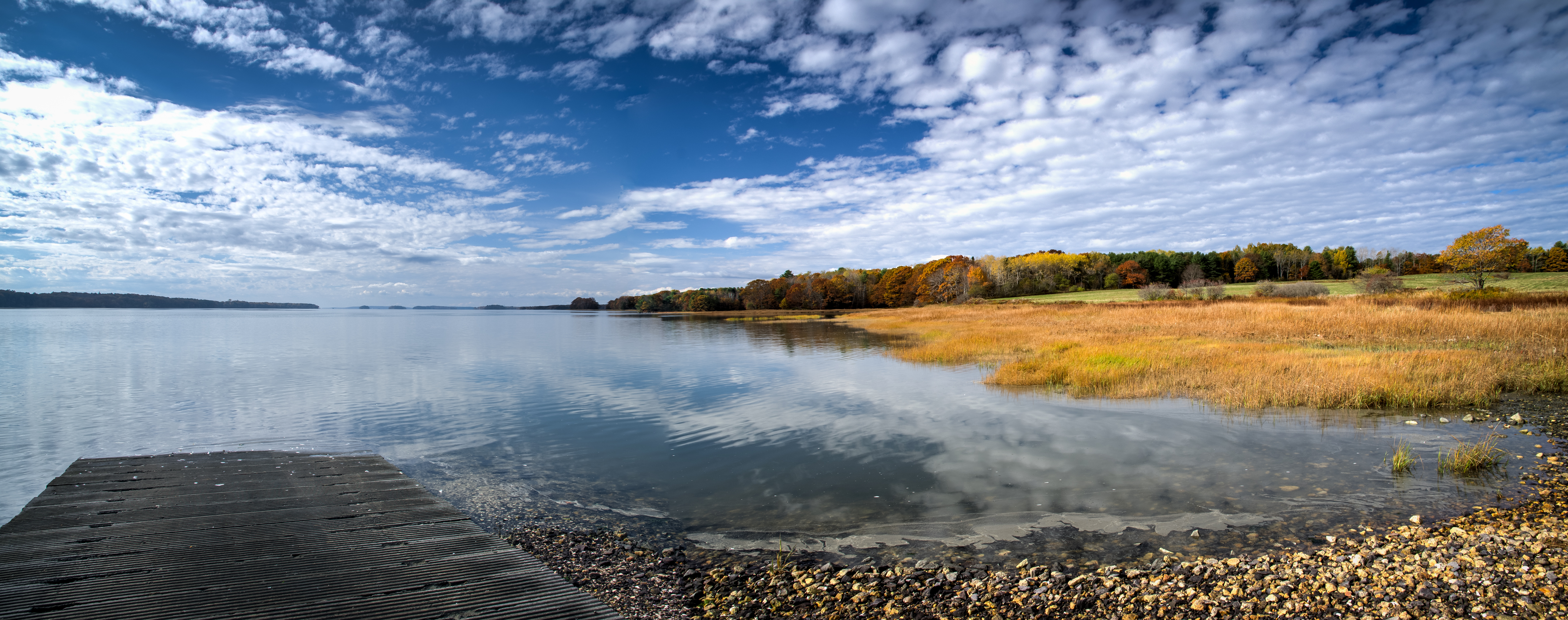
Sprague River Mouth
Schoodic Peninsula
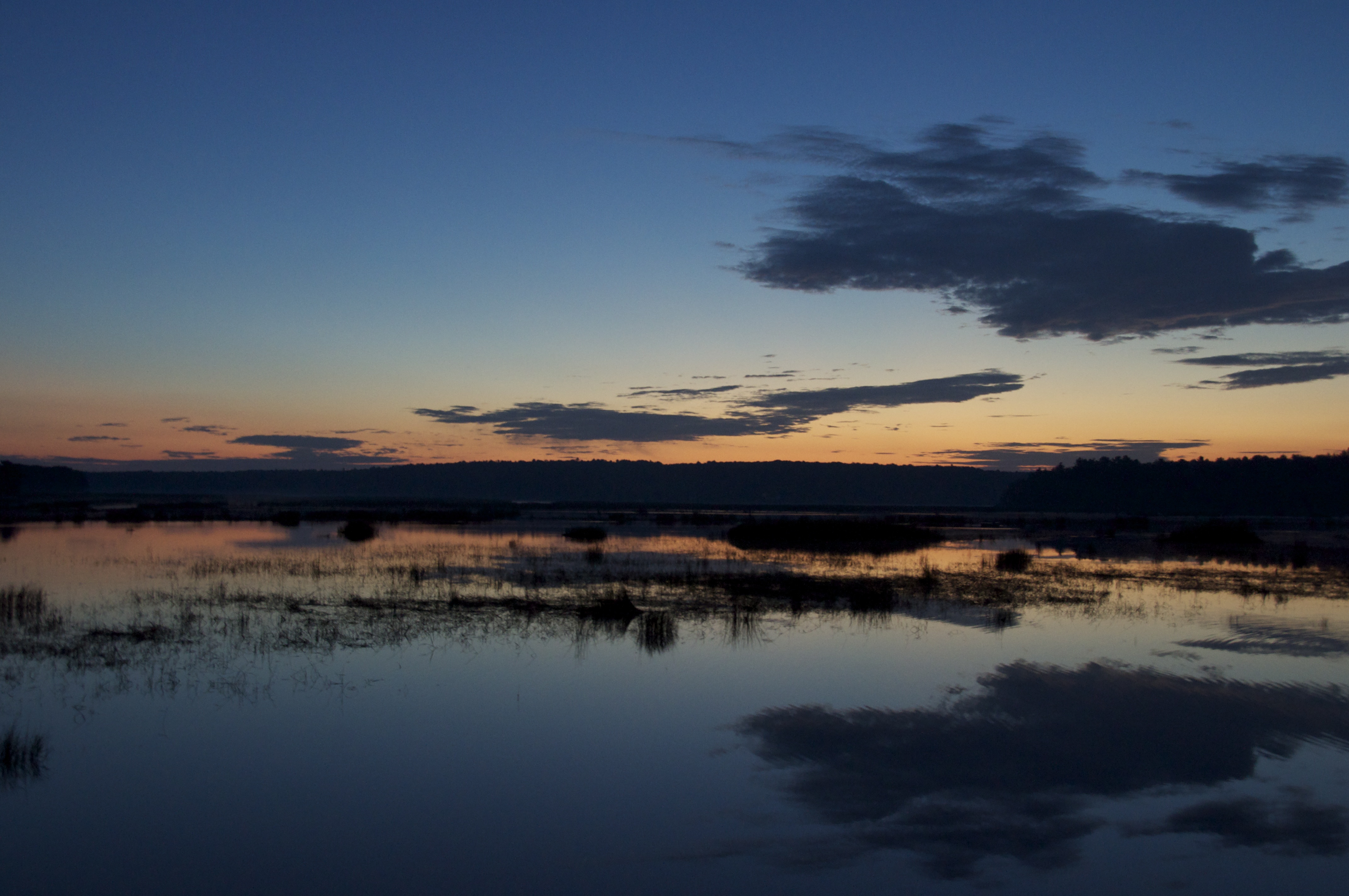
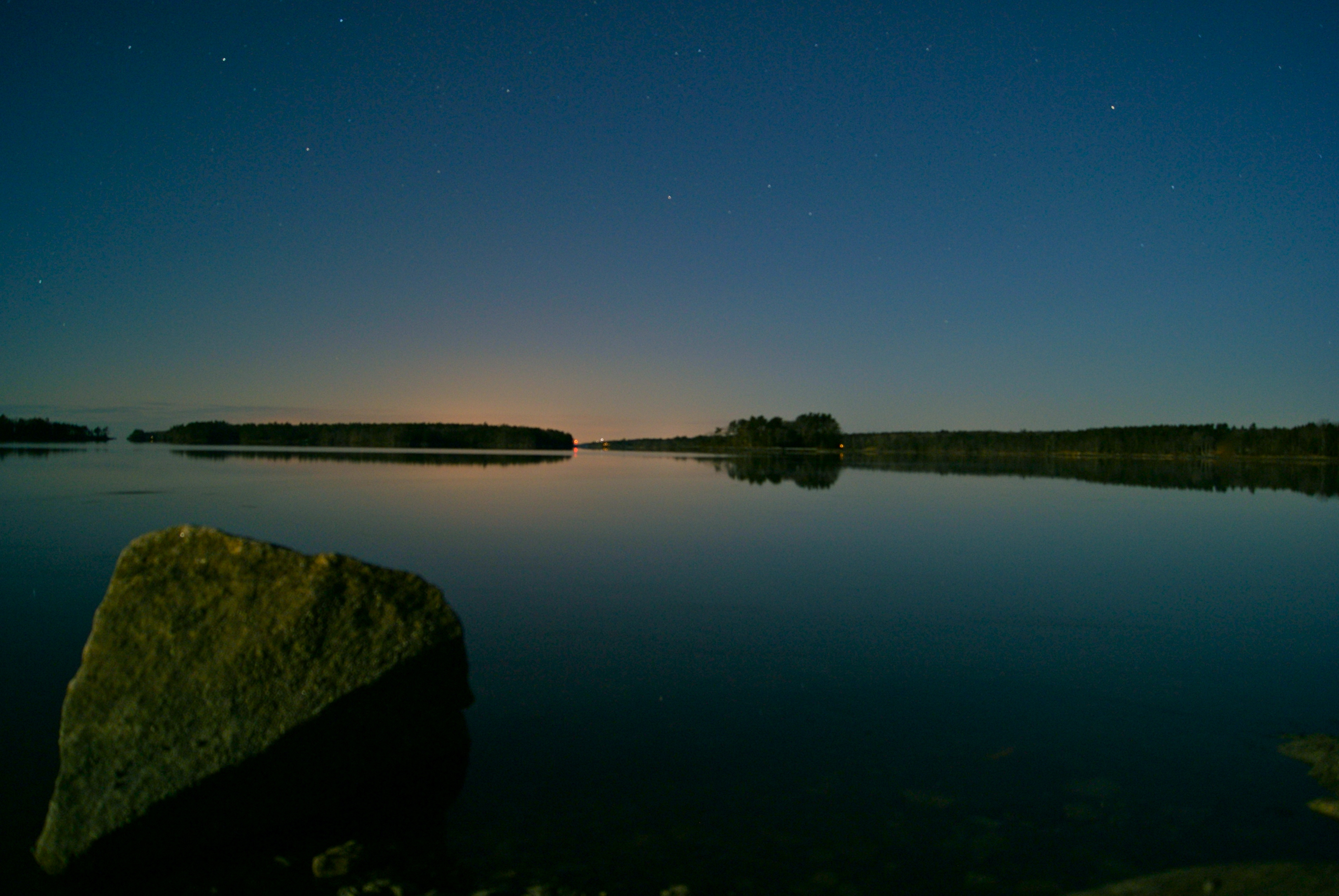
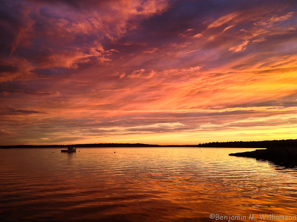
Pre-Dawn Glimmer
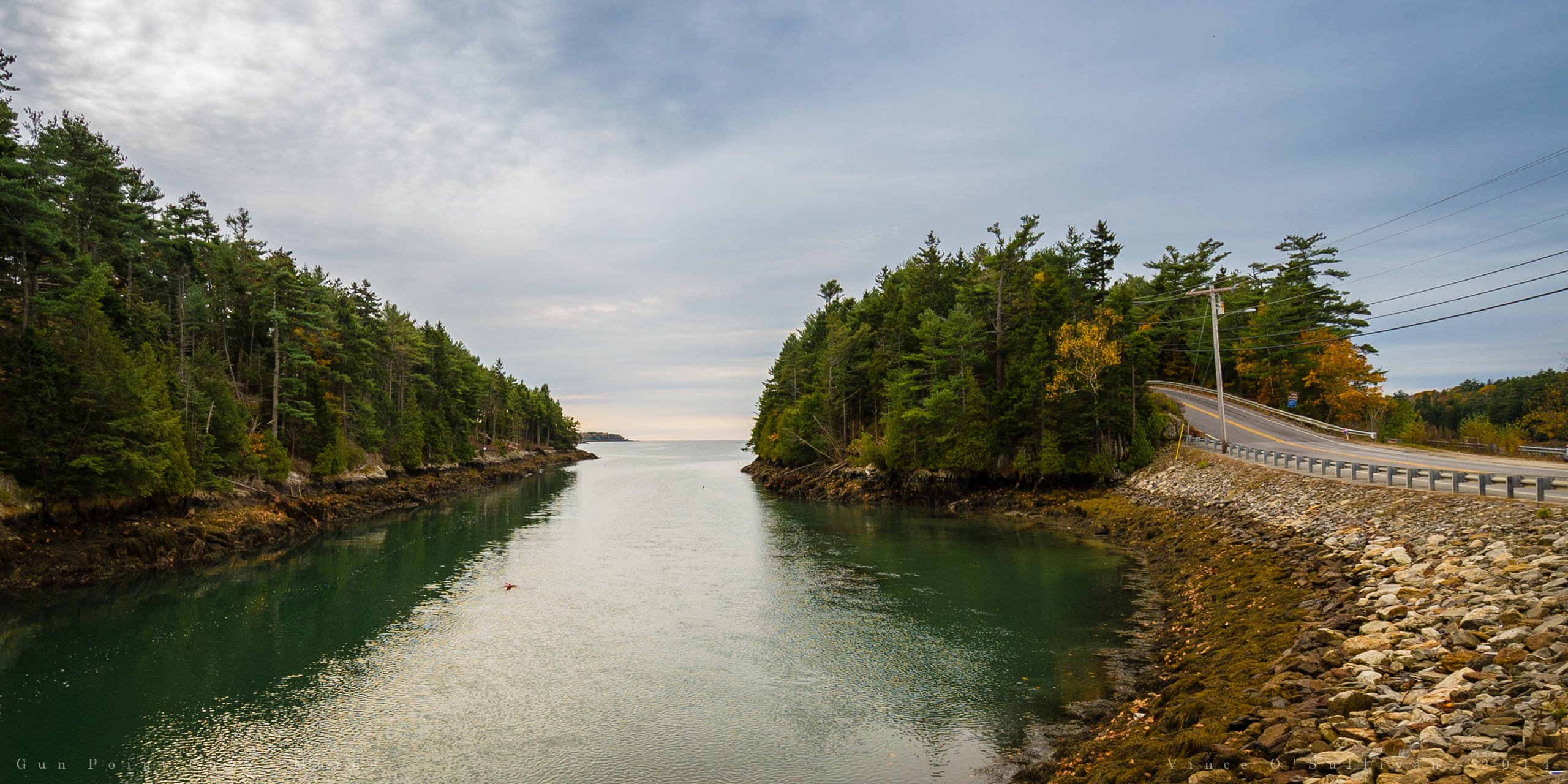
Gun Point Cove - Maine
wharton point

2014-08-28 19.10.05_edited-1
Topographic Map of 56 Blacks Landing Rd, Phippsburg, ME, USA
Find elevation by address:

Places near 56 Blacks Landing Rd, Phippsburg, ME, USA:
10 Narrows Ln
Watson Road
16 Holbrook St
45 Taylor Rd
6 Kingfisher Cove
Hen Cove Road
Hen Cove Road
Catlin Shore Road
Cundy's Harbor Rd, Harpswell, ME, USA
24 Jasmine Ln
Pinkham Point
Pinkham Point Rd, Harpswell, ME, USA
Ellen Way
139 Tondreaus Point Rd
Parker Head Rd, Phippsburg, ME, USA
Phippsburg
15 Aucocisco Ln
17 Birch Point Rd
The Tote Road
Mcpherson Lane
Recent Searches:
- Elevation of 30 Oak Lawn Dr, Barkhamsted, CT, USA
- Elevation of Luther Road, Luther Rd, Auburn, CA, USA
- Elevation of Unnamed Road, Respublika Severnaya Osetiya — Alaniya, Russia
- Elevation of Verkhny Fiagdon, North Ossetia–Alania Republic, Russia
- Elevation of F. Viola Hiway, San Rafael, Bulacan, Philippines
- Elevation of Herbage Dr, Gulfport, MS, USA
- Elevation of Lilac Cir, Haldimand, ON N3W 2G9, Canada
- Elevation of Harrod Branch Road, Harrod Branch Rd, Kentucky, USA
- Elevation of Wyndham Grand Barbados Sam Lords Castle All Inclusive Resort, End of Belair Road, Long Bay, Bridgetown Barbados
- Elevation of Iga Trl, Maggie Valley, NC, USA