Elevation of Harmony Lane, Harmony Ln, Georgia, USA
Location: United States > Georgia > Union County > Blairsville >
Longitude: -84.119243
Latitude: 34.8392451
Elevation: 663m / 2175feet
Barometric Pressure: 94KPa
Elevation Map:
Satellite Map:
Related Photos:

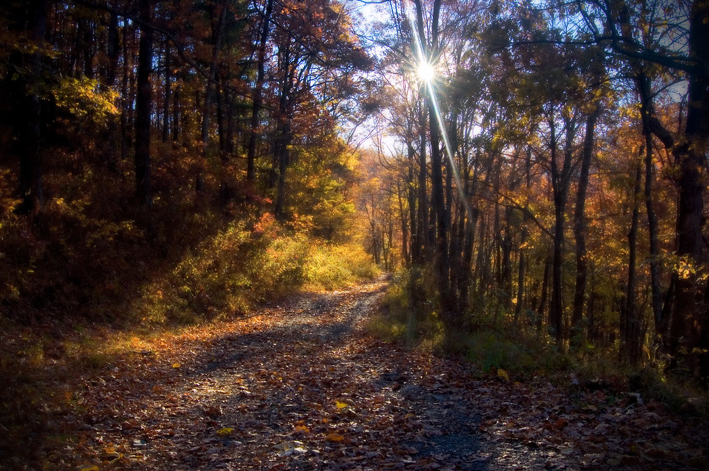
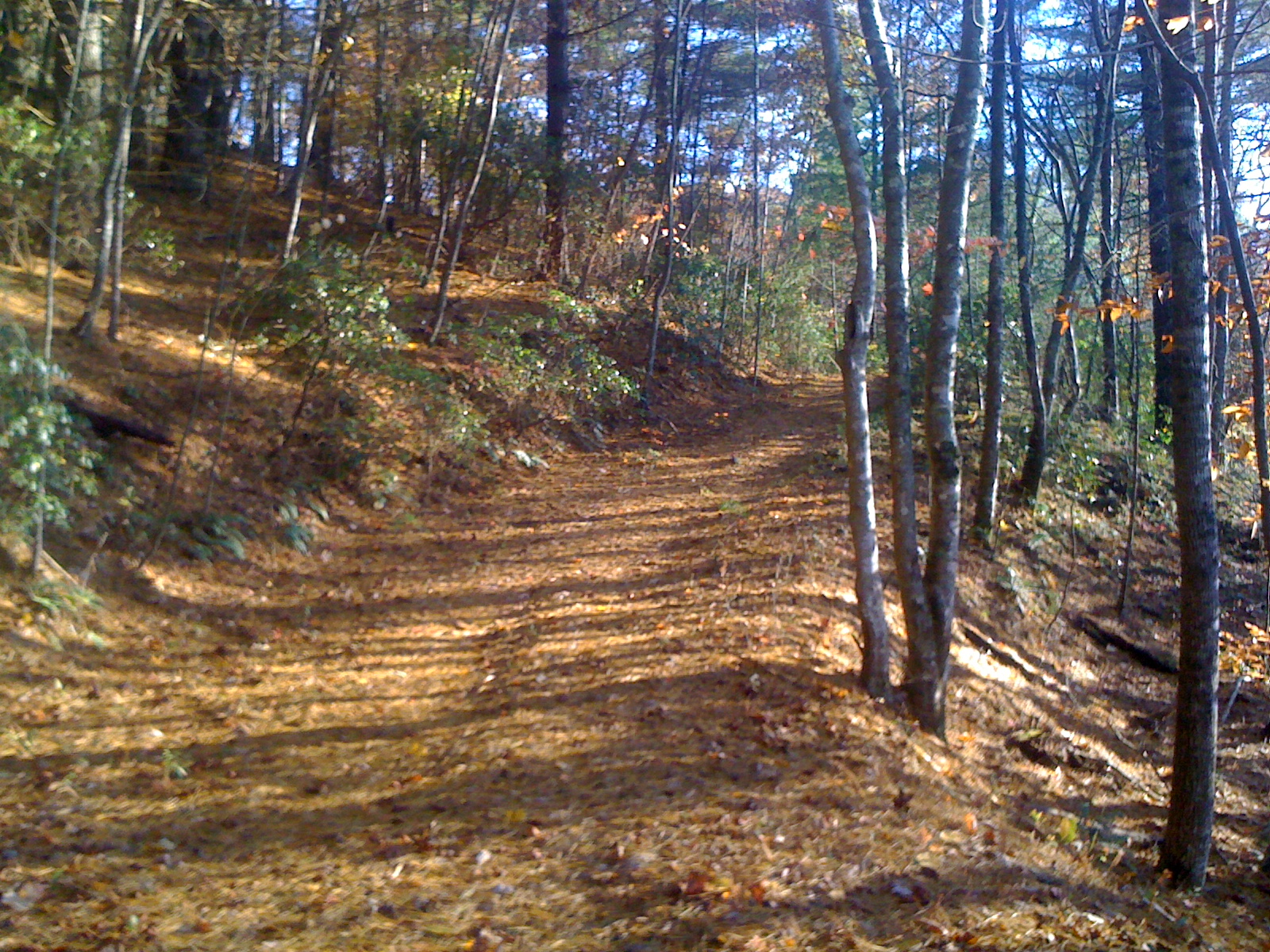
Rear-view dirt road
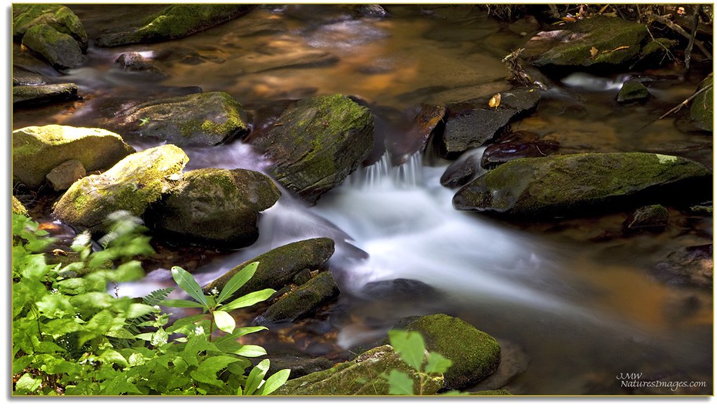
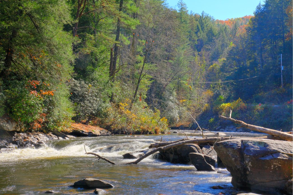
Cooper Creek , GA
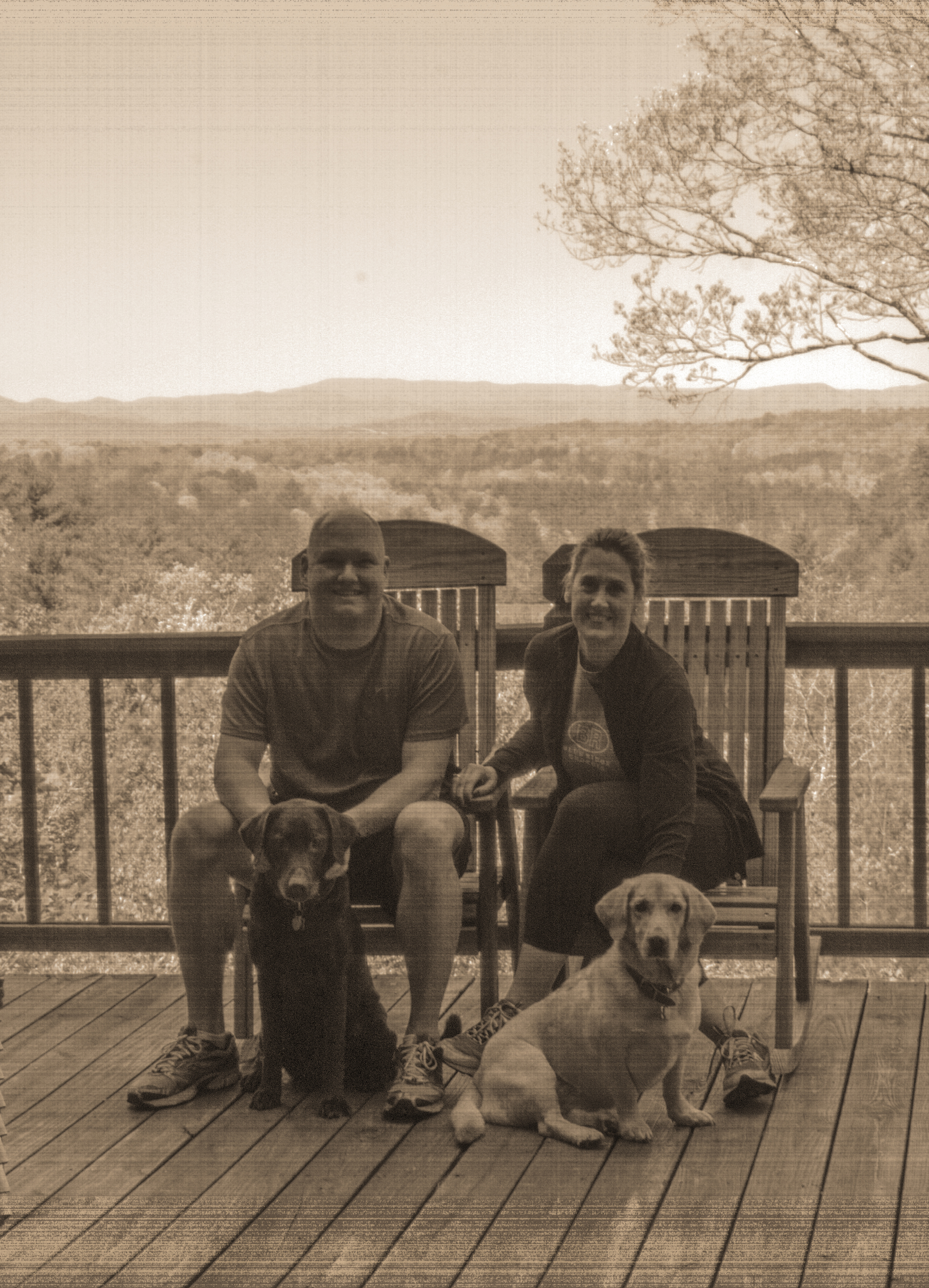
Old time family photo
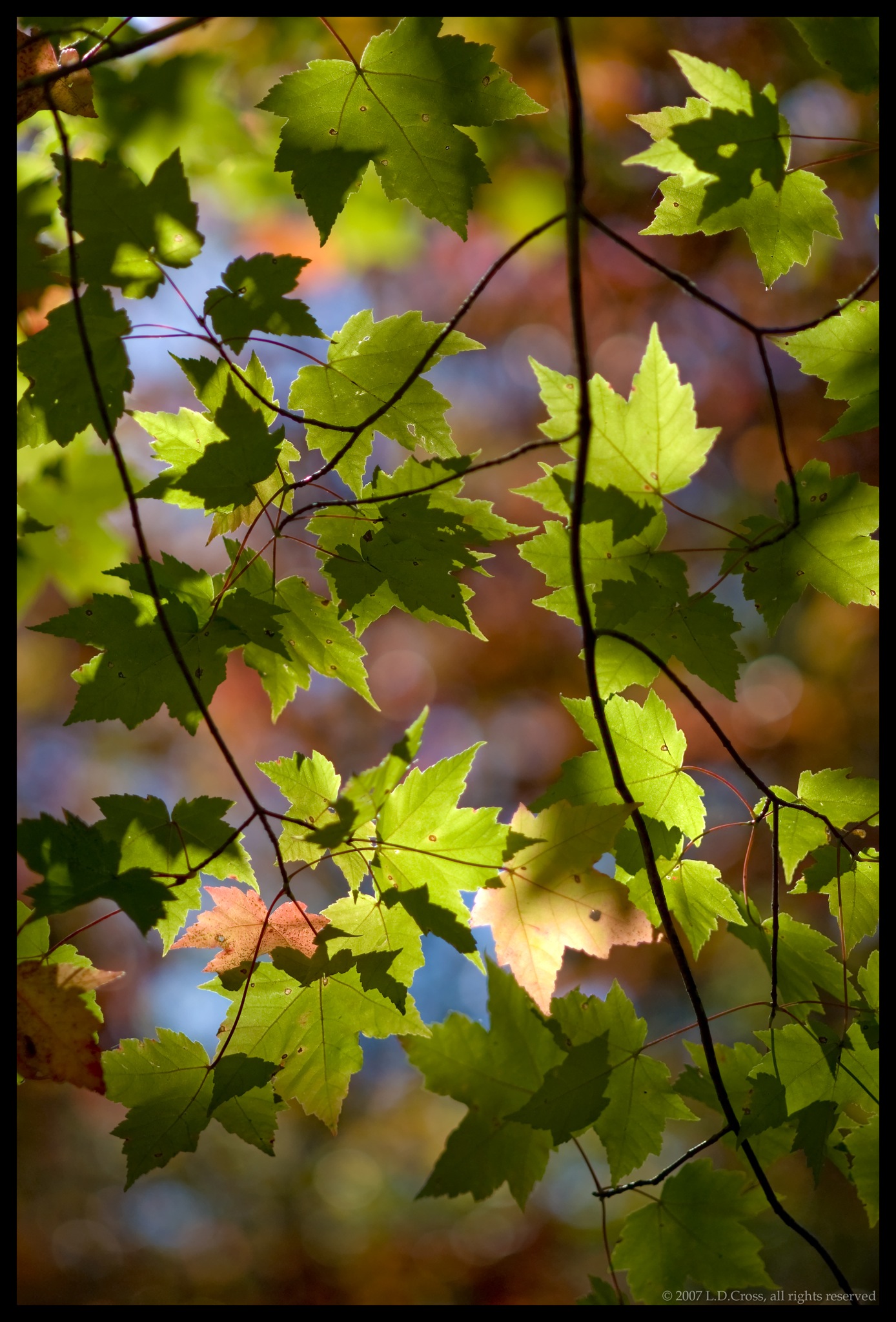
Changing Colors
View from the office tonight.
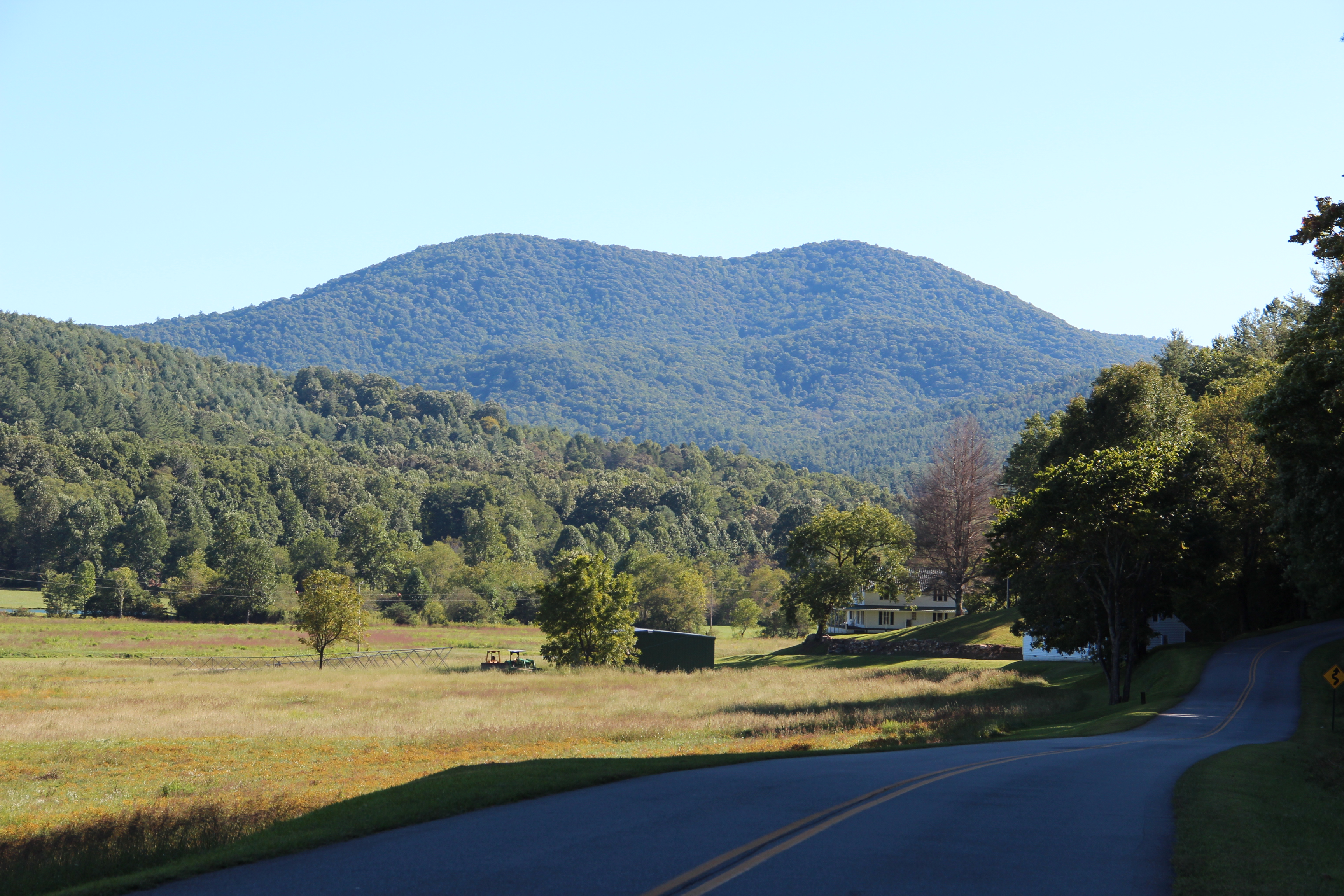
View From NW Side of Weeks Mtn

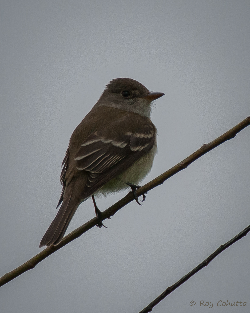
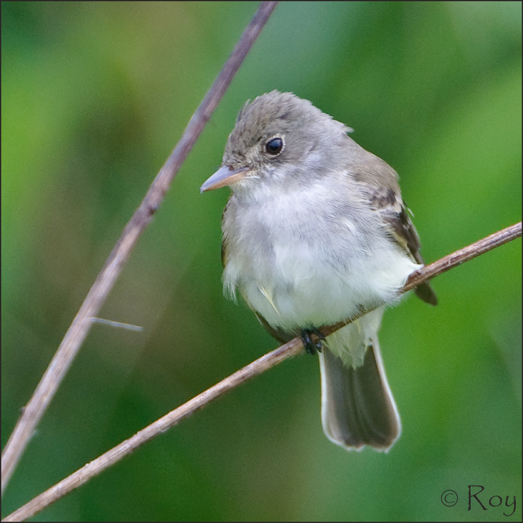
Traill's Flycatcher
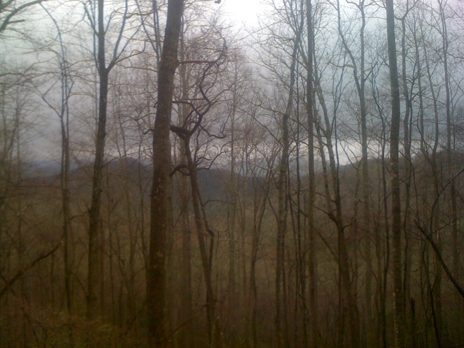
Morning Fog

That's not a lake
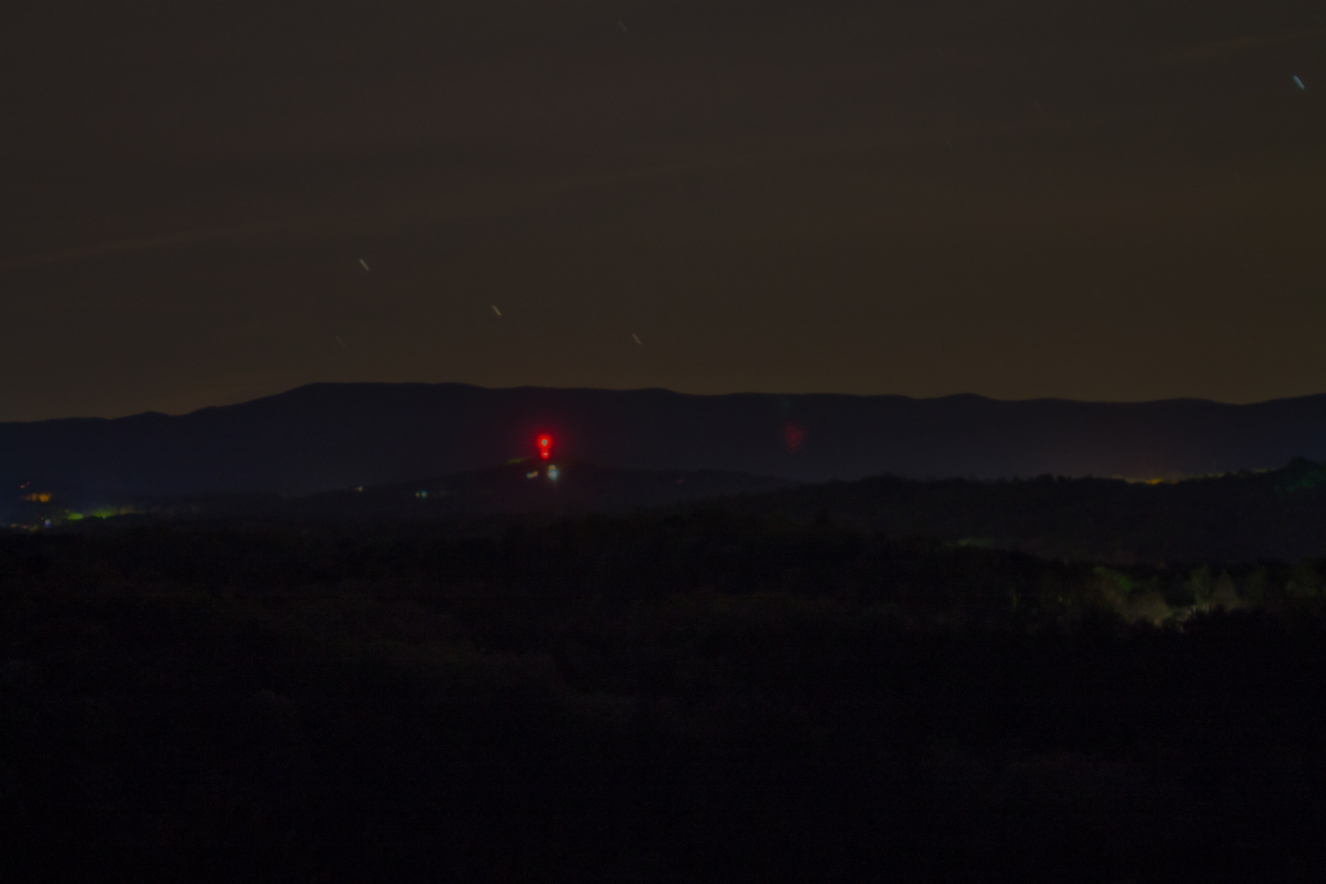
Big Bear view at night

Ford Model T
Willow Flycatcher

Good Morning

Traill's Flycatcher

Harriett looking at the mountains
Willow Flycatcher

Willow Flycatcher
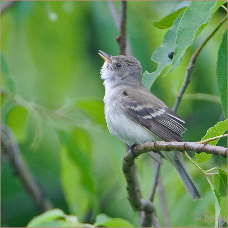
Willow Flycatcher
Cul-de-sac View of Mountains in Fannin County, Georgia

Farmer's Market
Big John Dick Mountain
"Lost in the Wilderness" or "Reason #354,982 why I am a complete loser"
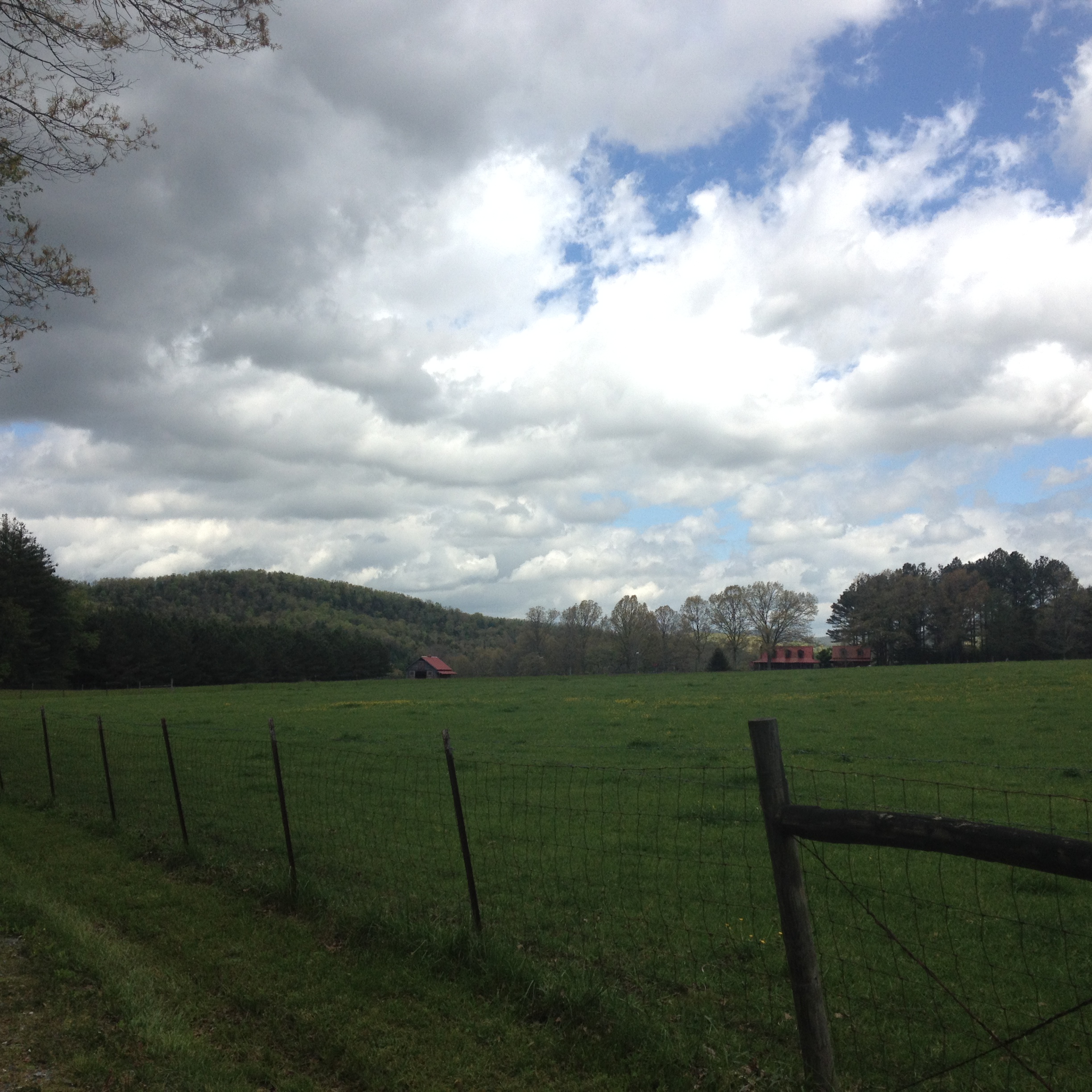
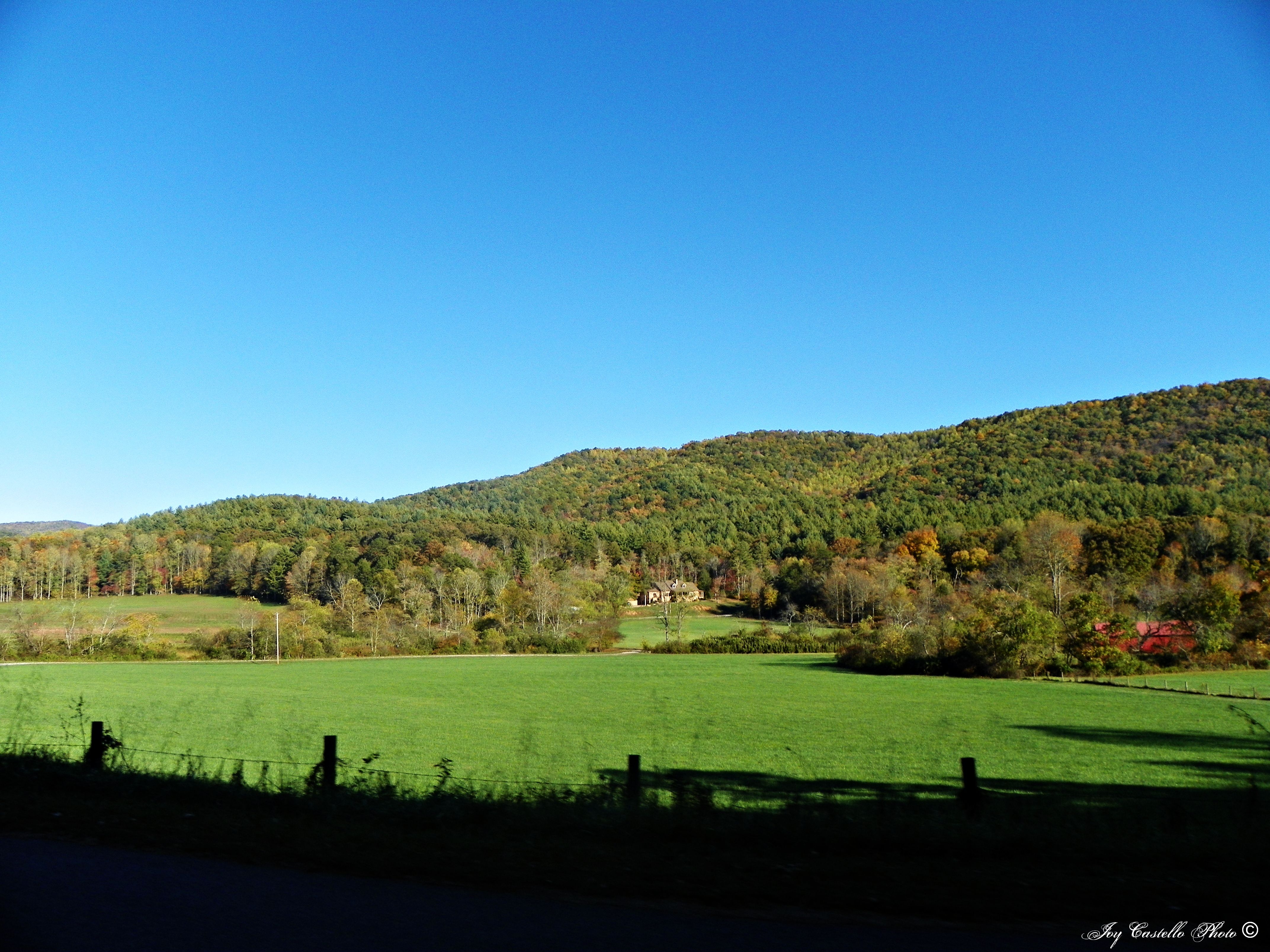
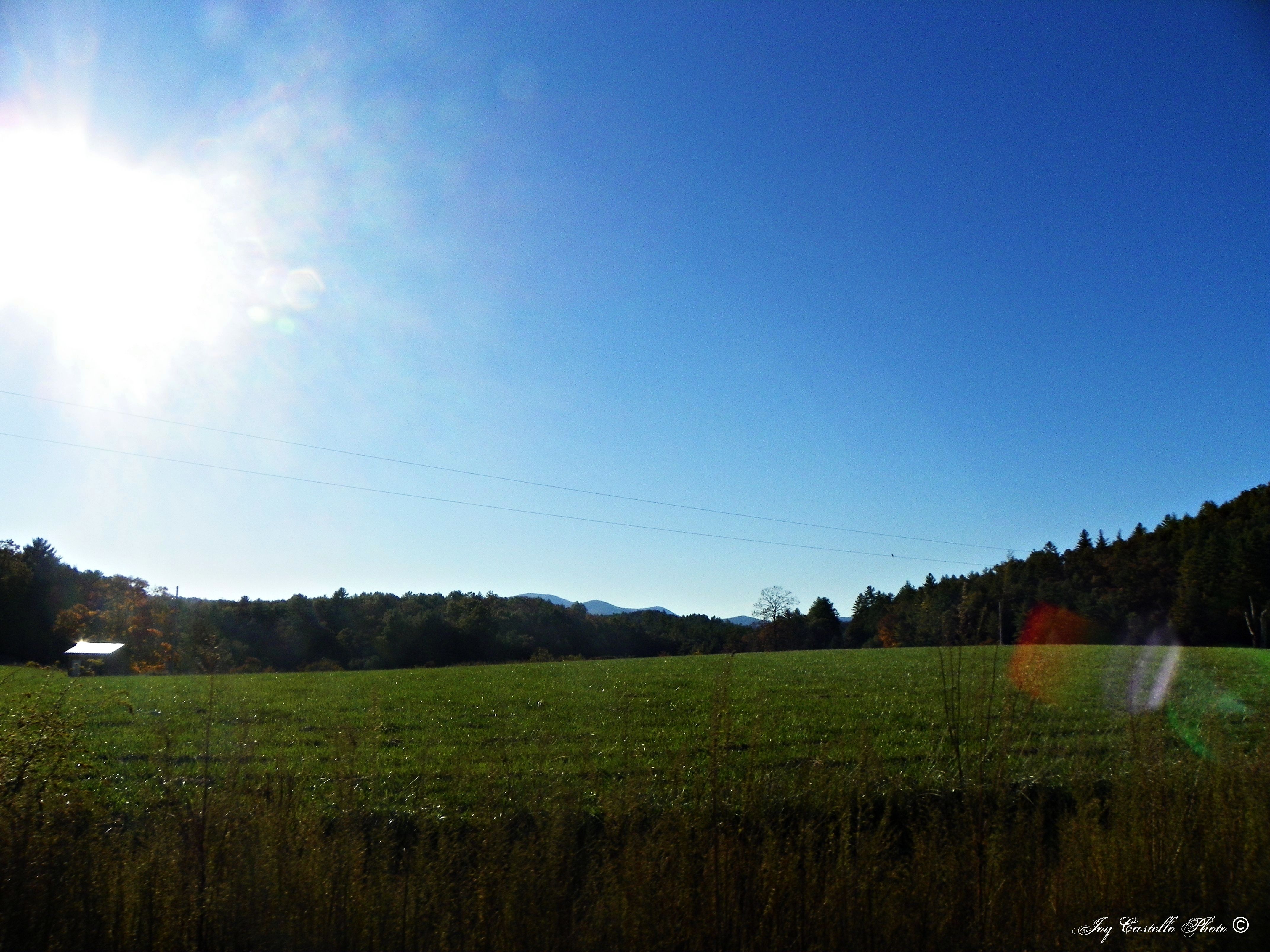
Fields and Sky

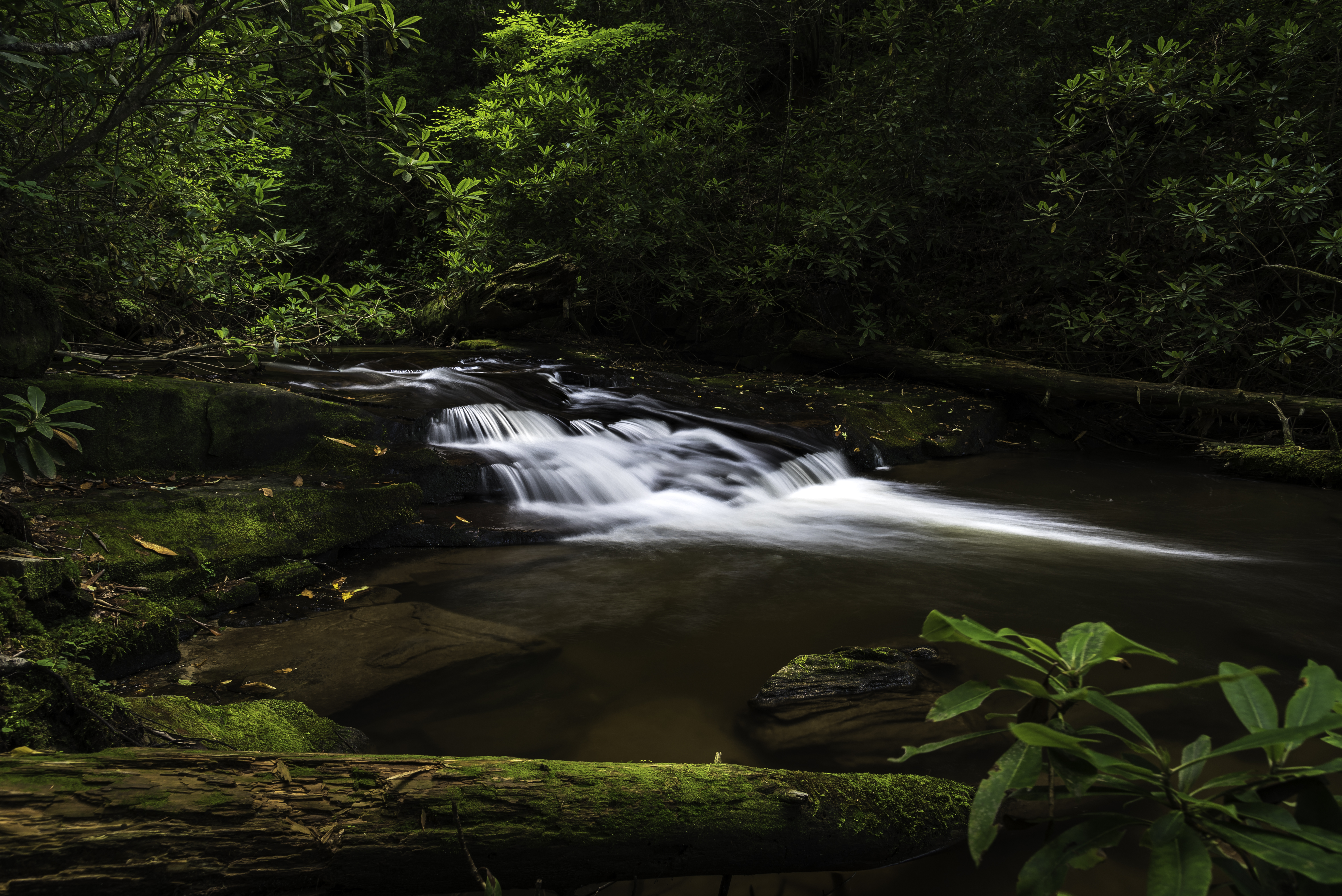
Sea Creek Falls-Toby Gant-2014

Somewhere over Nottely Lake

Camera Roll-301
Blue Ridge, Georgia
Deadennen Mtn
Sunset over Lake Blue Ridge
DSC03979.JPG
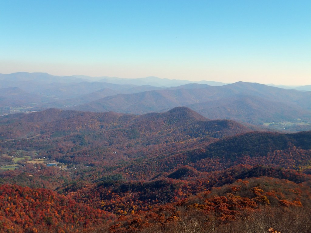
Mountains in the Fall in Fannin County, Georgia
Camera Roll-335
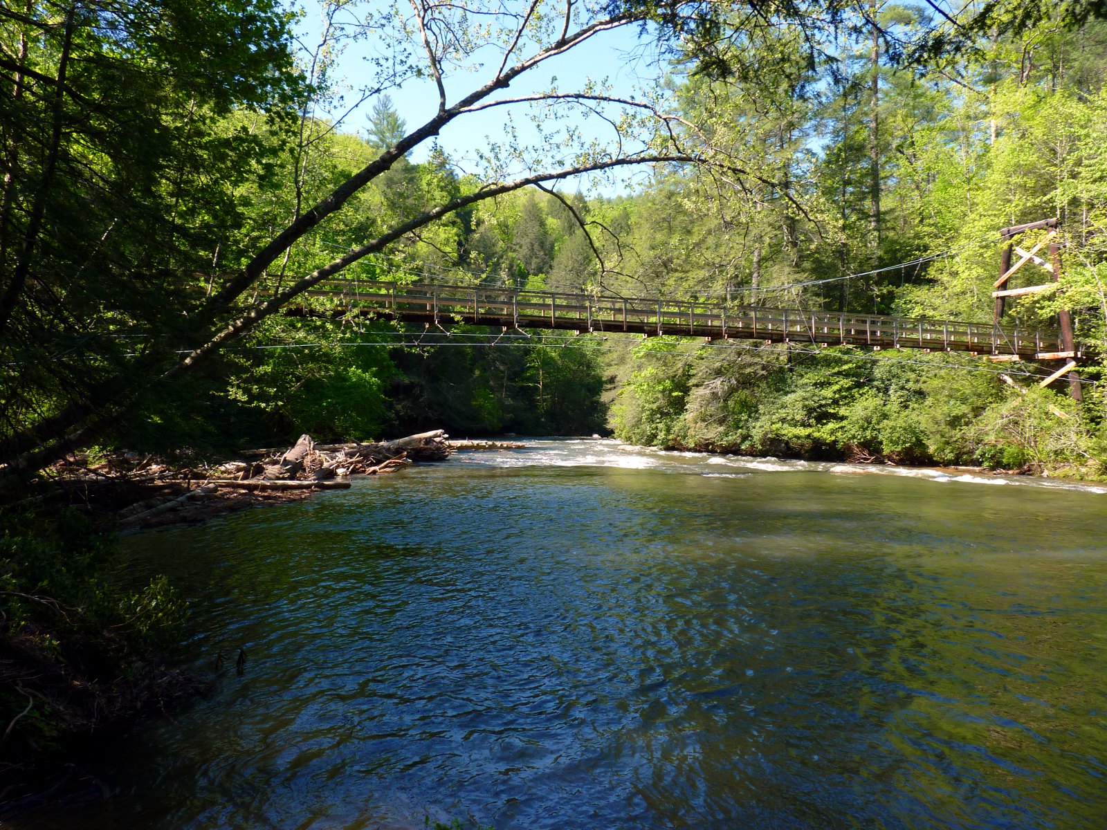
River Toccoa Suspension Bridge

Lake Nottely
Little Skeenah Creek Road 2
A green land
Mountains & Fall Colors in Fannin County, Georgia
Truckie River Georgia 3
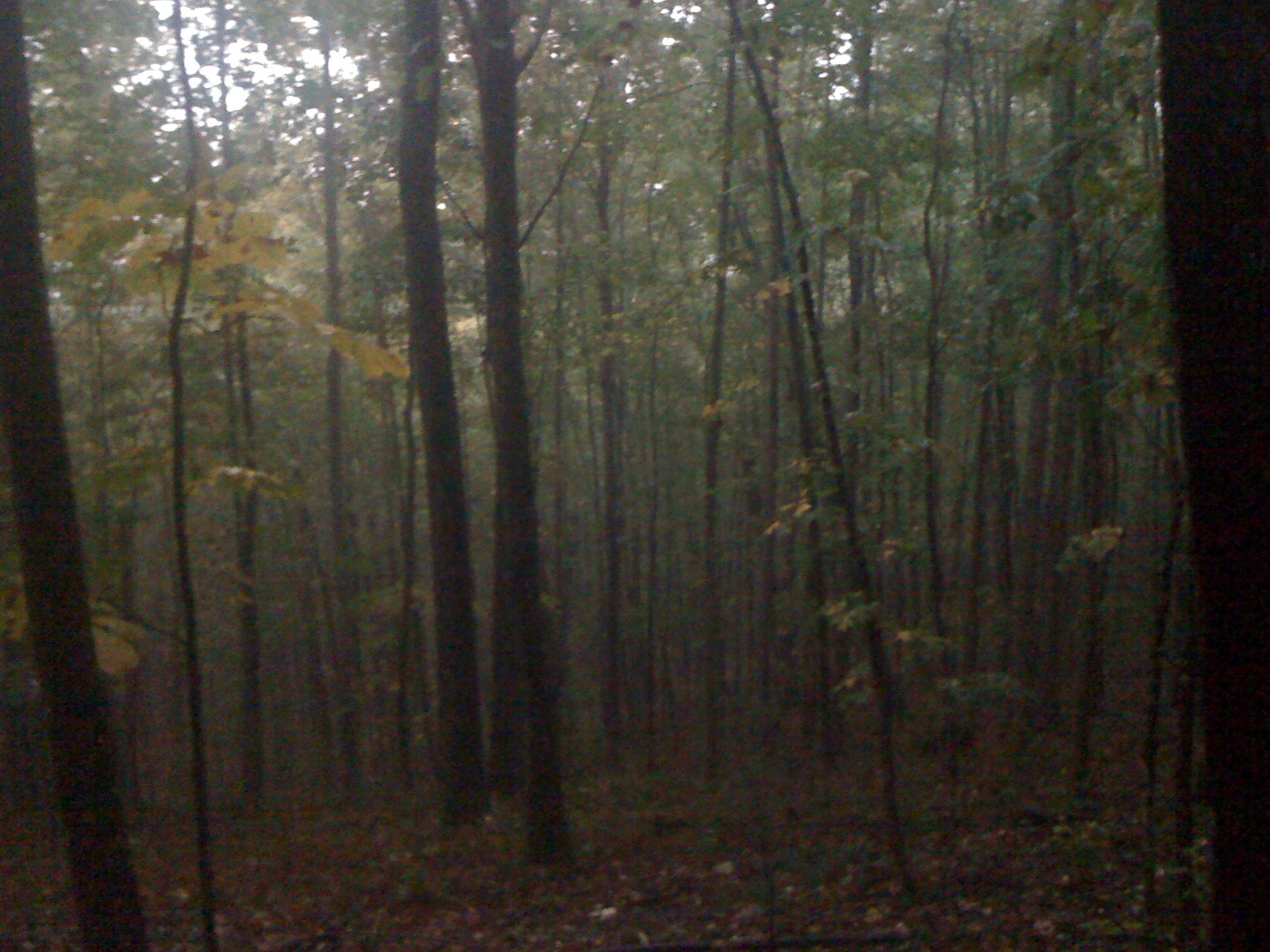
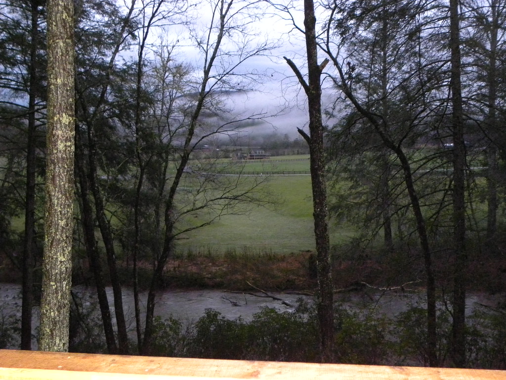
Wet Woods
Field & Mountains in Fannin County, Georgia
Brasstown Bald
Topographic Map of Harmony Lane, Harmony Ln, Georgia, USA
Find elevation by address:

Places near Harmony Lane, Harmony Ln, Georgia, USA:
Wild Ridge Road
1978 Jones Creek Rd S
Elisha Payne Circle South
975 Timber Ridge Rd S
924 Elisha Payne Cir S
Jones Creek Rd S, Blairsville, GA, USA
Barney Lane
421 Stacy Ln
Stacy Lane
100 Pauline Rd
276 Payne Way
276 Payne Way
276 Payne Way
276 Payne Way
788 Payne Way #6
788 Payne Way
Skeenah Gap Road
43 Hawks Nest Rd
358 Payne Way
Carroll Road
Recent Searches:
- Elevation of Estates Loop, Priest River, ID, USA
- Elevation of Woodland Oak Pl, Thousand Oaks, CA, USA
- Elevation of Brownsdale Rd, Renfrew, PA, USA
- Elevation of Corcoran Ln, Suffolk, VA, USA
- Elevation of Mamala II, Sariaya, Quezon, Philippines
- Elevation of Sarangdanda, Nepal
- Elevation of 7 Waterfall Way, Tomball, TX, USA
- Elevation of SW 57th Ave, Portland, OR, USA
- Elevation of Crocker Dr, Vacaville, CA, USA
- Elevation of Pu Ngaol Community Meeting Hall, HWHM+3X7, Krong Saen Monourom, Cambodia