Elevation of Payne Way #6, Blairsville, GA, USA
Location: United States > Georgia > Union County > Blairsville >
Longitude: -84.137032
Latitude: 34.8516952
Elevation: 687m / 2254feet
Barometric Pressure: 93KPa
Elevation Map:
Satellite Map:
Related Photos:

Sea Creek Falls
Morning view... #beauty #life #happy #instagood #instagram #vacation

My 63.5 Ford Falcon Sprint with the silos
Cooper Creek , GA
Old time family photo
Rear-view dirt road
Cup of coffee

Georgia sunset ...
View from the office tonight.
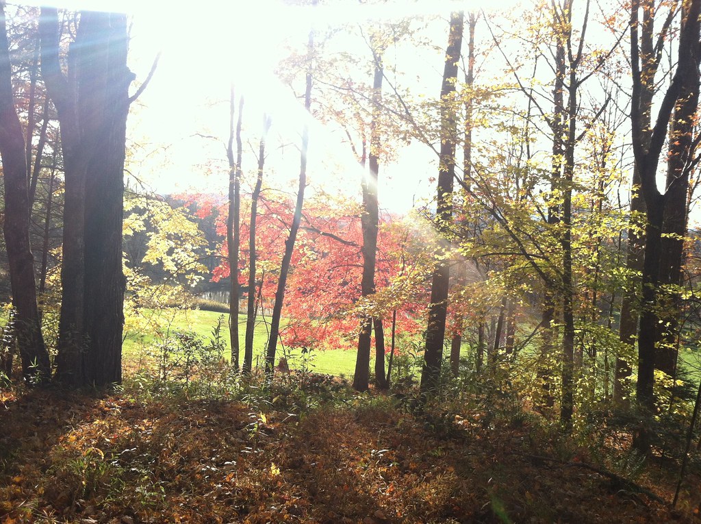
Changing Colors

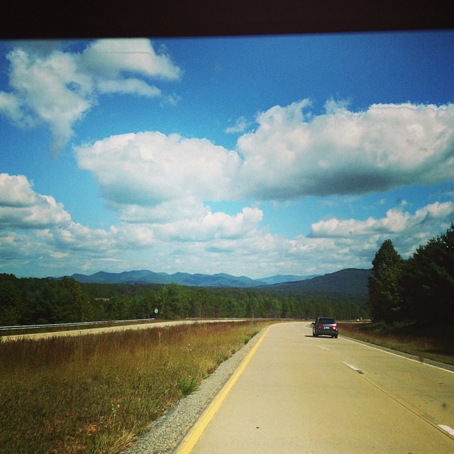
View From South Brawley Ridge
View at Dusk

That's not a lake
Big Bear view at night
View From NW Side of Weeks Mtn

View at Dusk

View of the river from the bridge
Last night with this view... one more stop on the way home to Florida tomorrow... God is good!!!
Beautiful View

Harriett looking at the mountains
View at Dusk

BMK Tooni 4
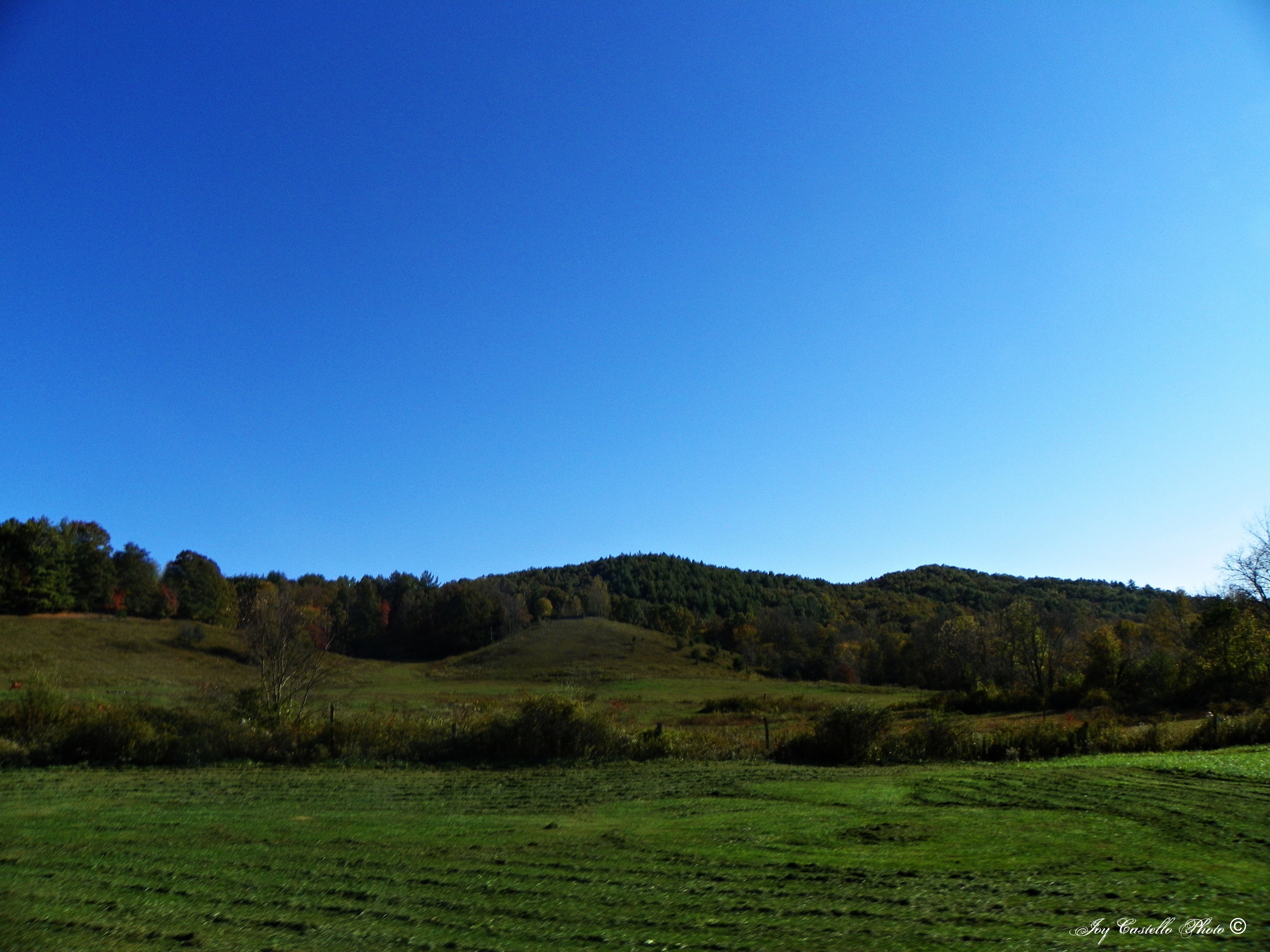
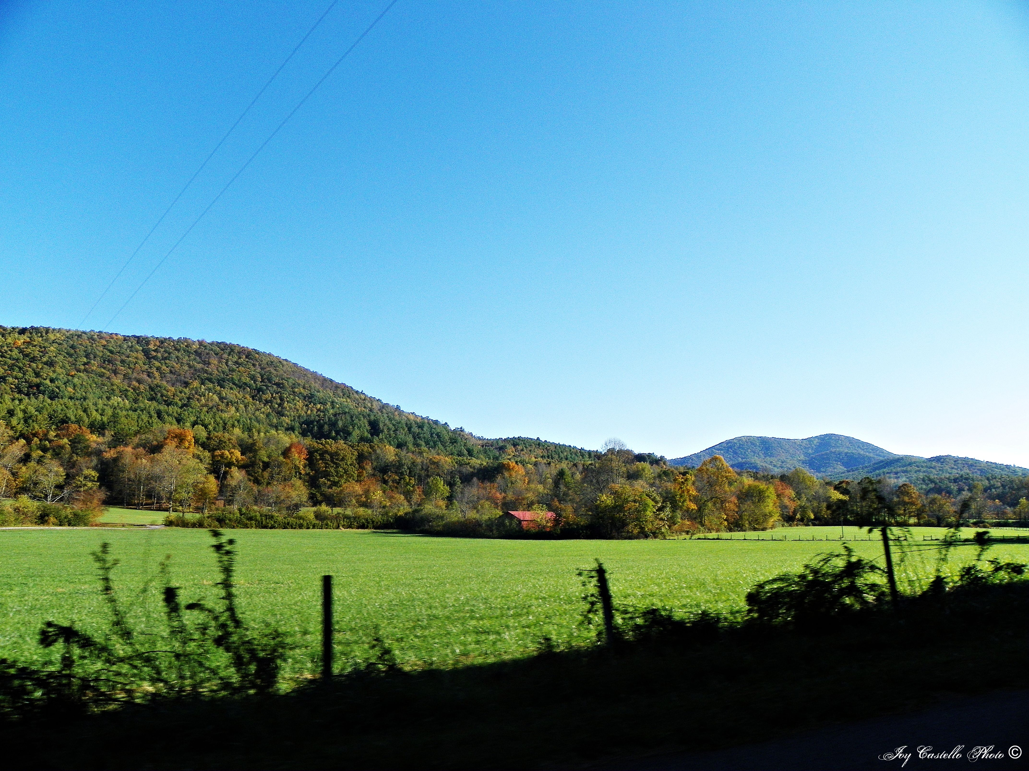
Fields and Sky
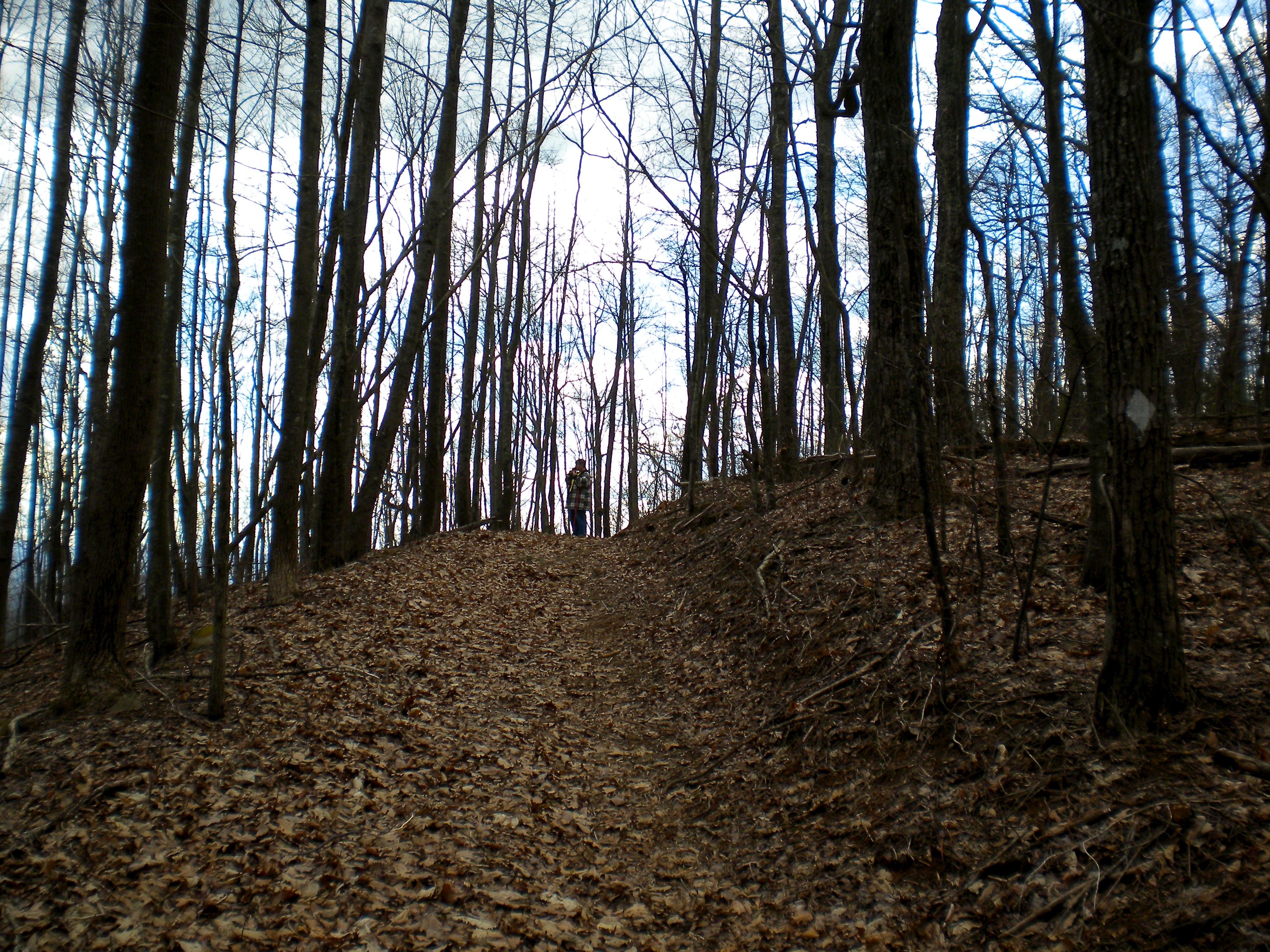
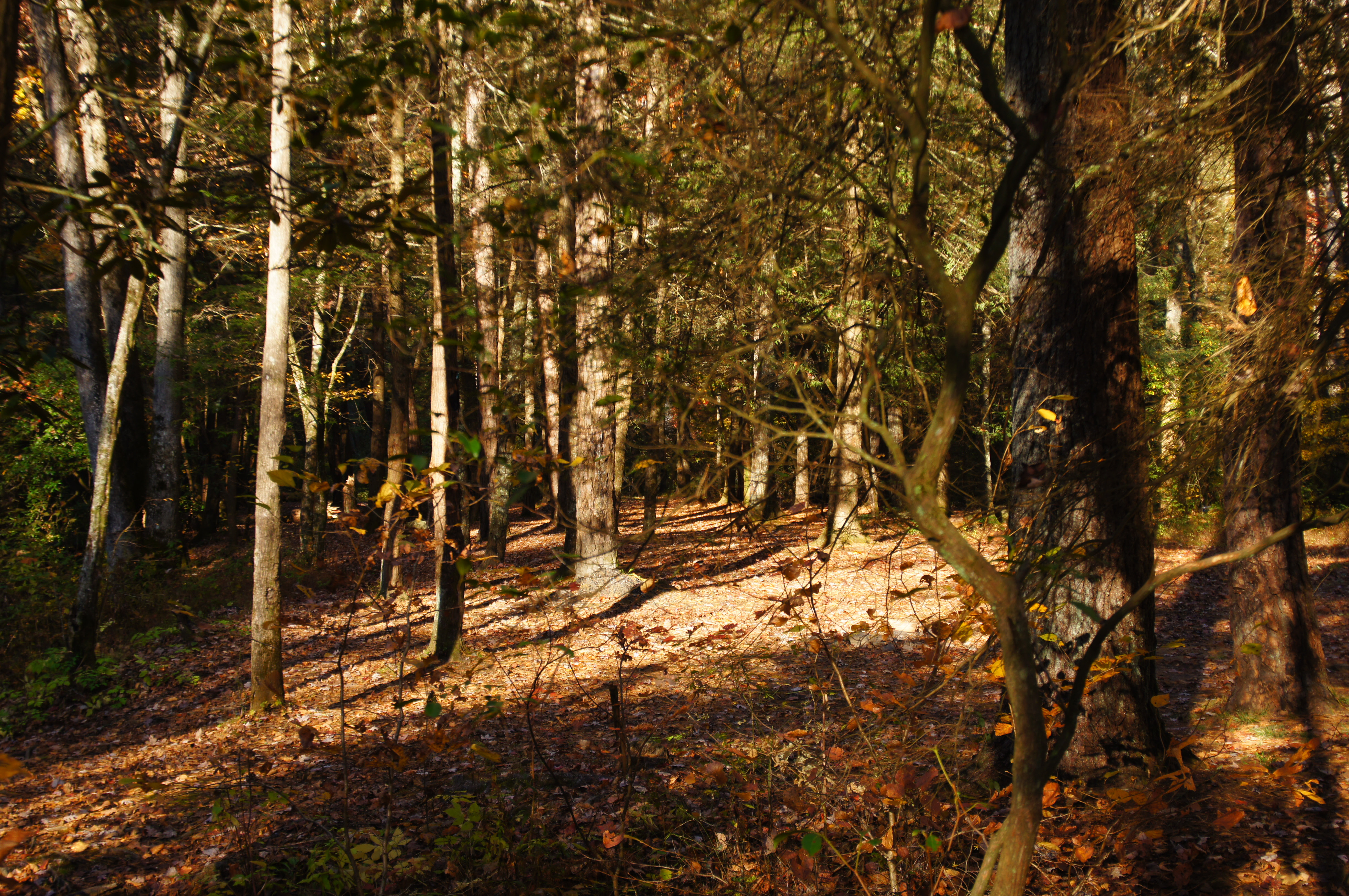
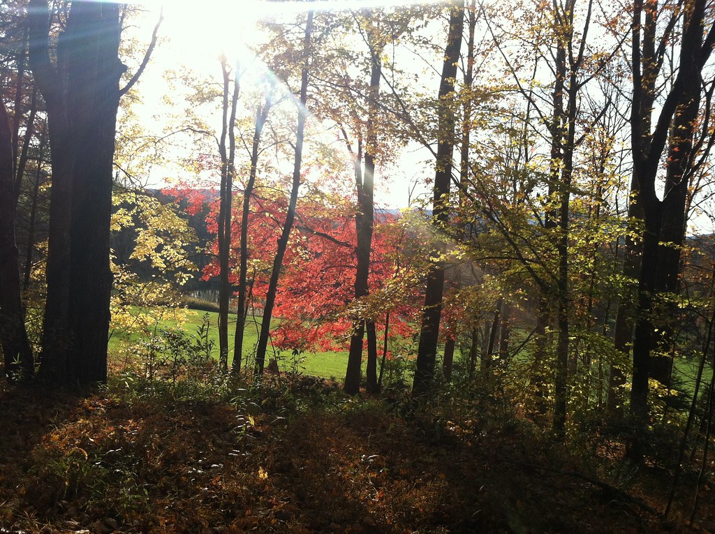
Open Woods
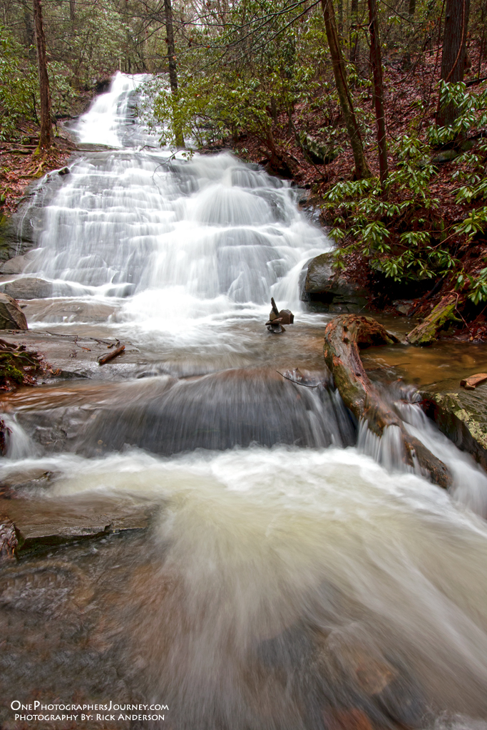
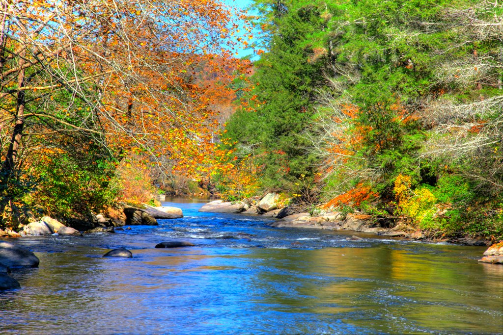
Fall Branch Falls - Blue Ridge, Georgia

Sea Creek Falls-Toby Gant-2014

Camera Roll-301
Truckie River Georgia 2
Deadennen Mtn
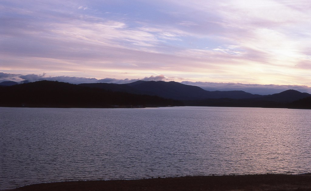
Sunset over Lake Blue Ridge
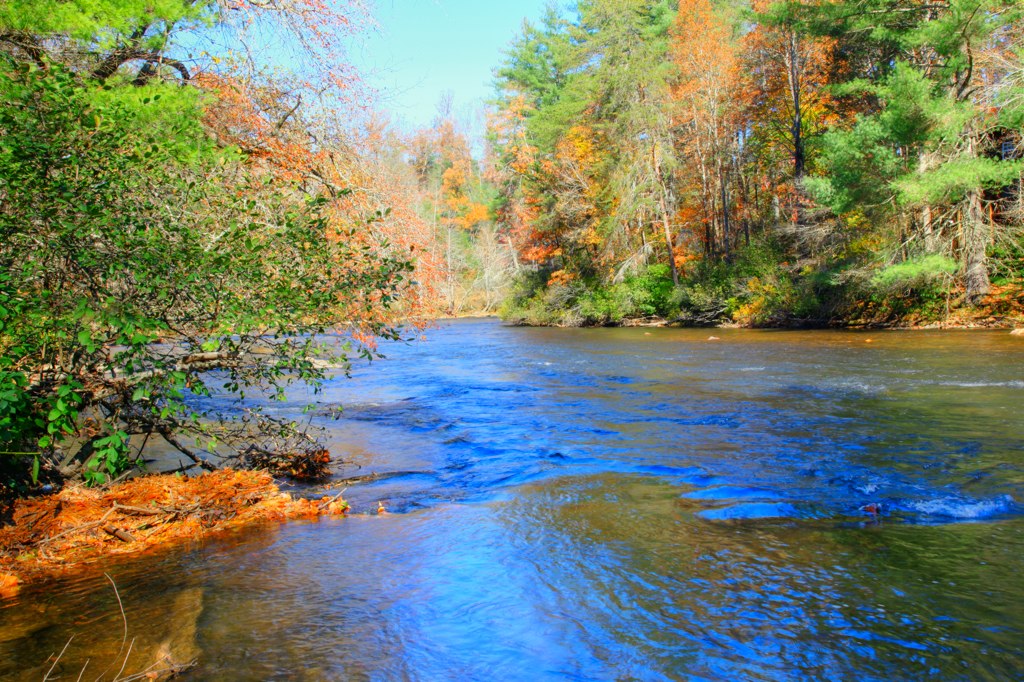
Truckie River Georgia
Pointed North

Lake Nottely
Fannin County, Georgia
DSC03979.JPG
Mountains in Fannin County, Georgia
Camera Roll-335
Camera Roll-336
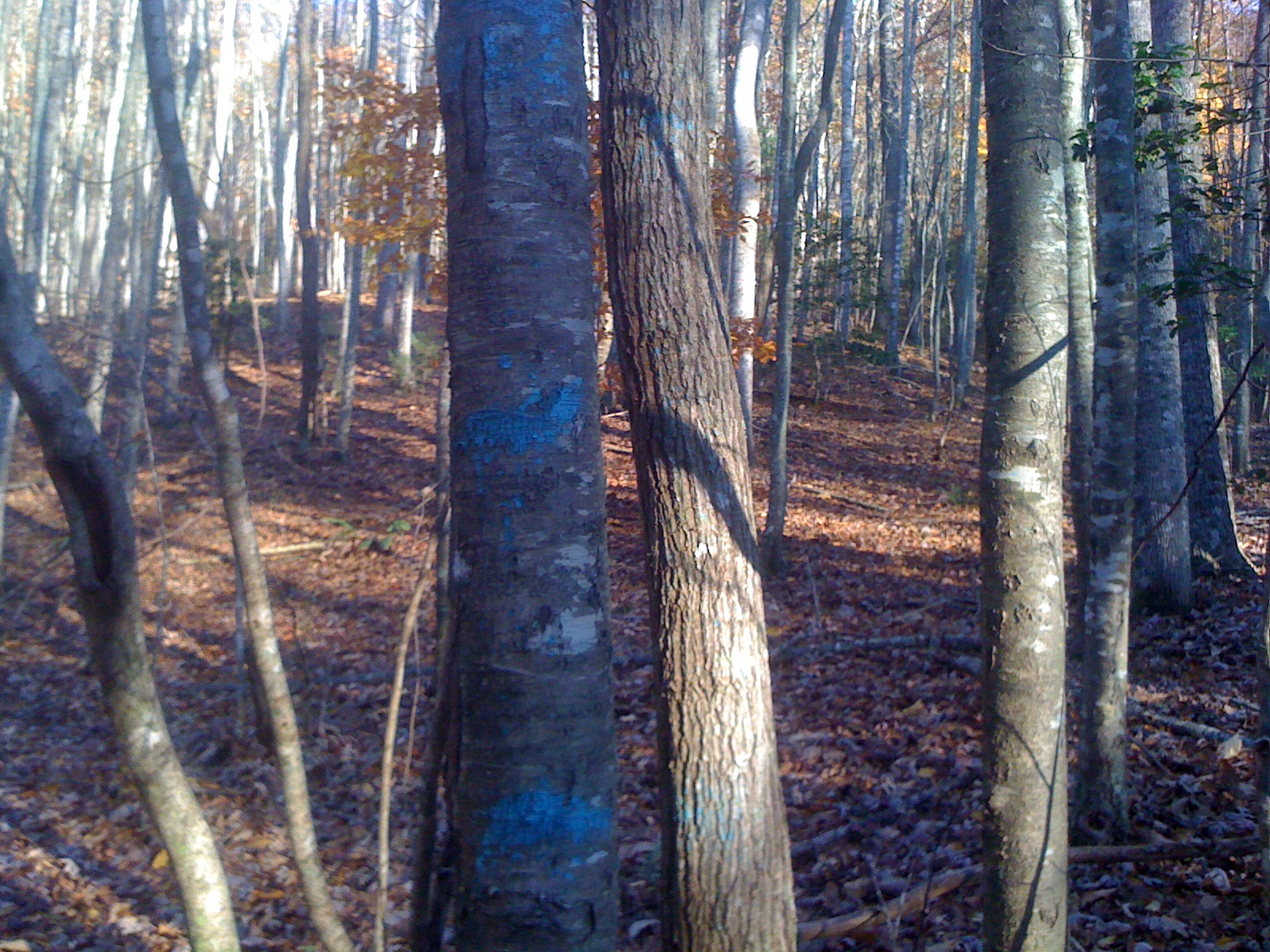
Blue Stripes
Mountains in the Fall in Fannin County, Georgia
Topographic Map of Payne Way #6, Blairsville, GA, USA
Find elevation by address:

Places near Payne Way #6, Blairsville, GA, USA:
788 Payne Way
389 Payne Way
358 Payne Way
276 Payne Way
276 Payne Way
276 Payne Way
276 Payne Way
395 Clay Dr
1190 N Burgess Gap Rd
101 Briar Cv
197 Timber Jack Ln
419 Wise Rd
304 Kimbolton Dr
185 Christian Crossing
267 Kimbolton Dr
295 Bud Franklin Dr
295 Bud Franklin Dr
45 Turning Lay Rd
295 Bud Franklin Dr
Liberty Hill Road
Recent Searches:
- Elevation of Gateway Blvd SE, Canton, OH, USA
- Elevation of East W.T. Harris Boulevard, E W.T. Harris Blvd, Charlotte, NC, USA
- Elevation of West Sugar Creek, Charlotte, NC, USA
- Elevation of Wayland, NY, USA
- Elevation of Steadfast Ct, Daphne, AL, USA
- Elevation of Lagasgasan, X+CQH, Tiaong, Quezon, Philippines
- Elevation of Rojo Ct, Atascadero, CA, USA
- Elevation of Flagstaff Drive, Flagstaff Dr, North Carolina, USA
- Elevation of Avery Ln, Lakeland, FL, USA
- Elevation of Woolwine, VA, USA