Elevation of Blairsville, GA, USA
Location: United States > Georgia > Union County >
Longitude: -83.958241
Latitude: 34.8761989
Elevation: 576m / 1890feet
Barometric Pressure: 95KPa
Elevation Map:
Satellite Map:
Related Photos:

Lower Falls Helton Creek

Sweet White Trillium

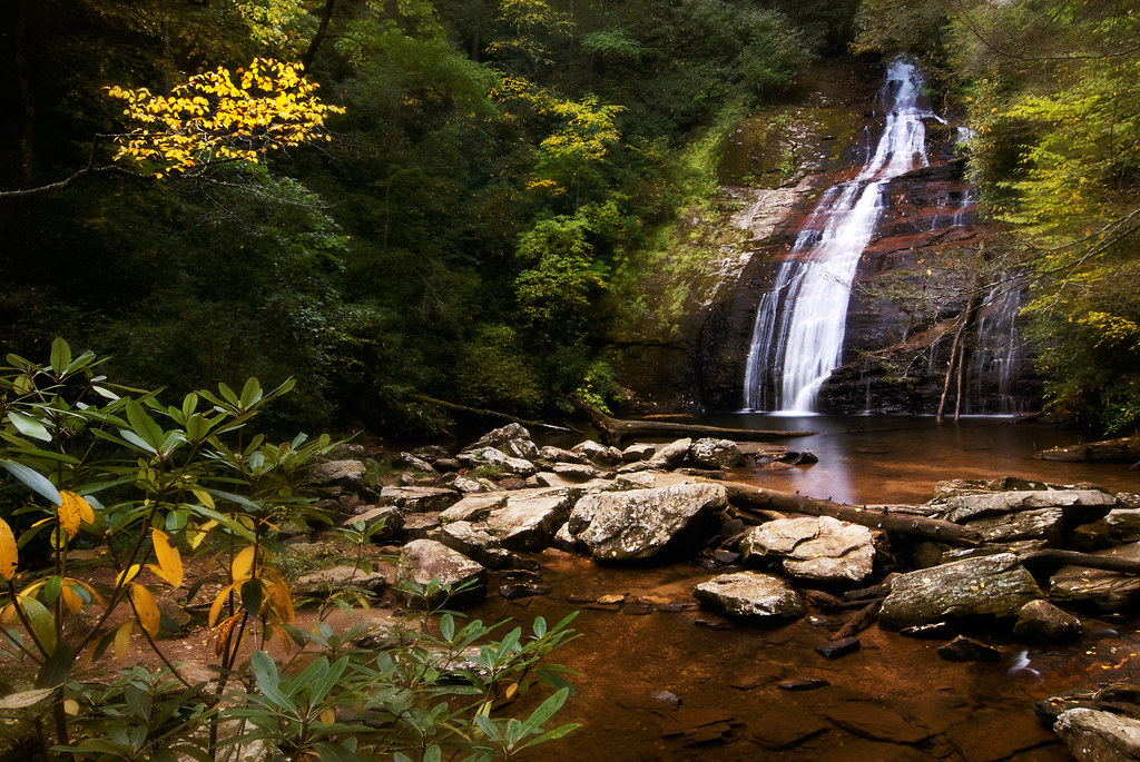
Upper Helton Creek Falls
Wolf Creek Falls
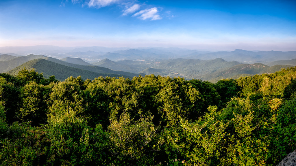
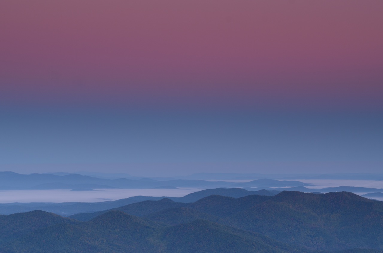
The view from Brasstown Bald

High on Helton

Upper Helton

Early Spring Stars
The view from Brasstown Bald

A way through...

Cold Reality

Hooded warbler

I Walk Alone

Upper Helton

Bristly Buttercup

Mississippi Buttercup
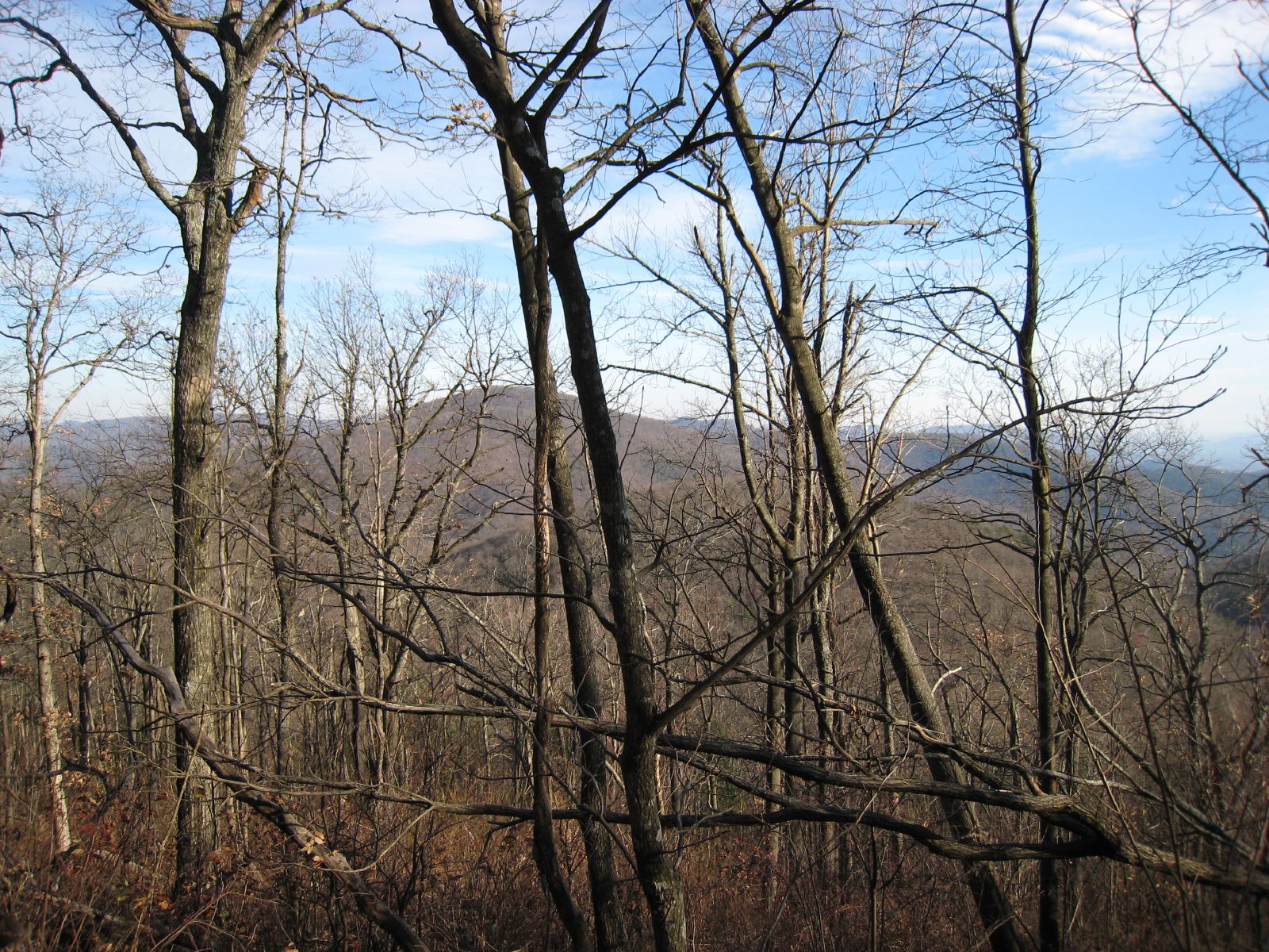
Mountain view
Look Behind You

Sunset, Haze and Mountains

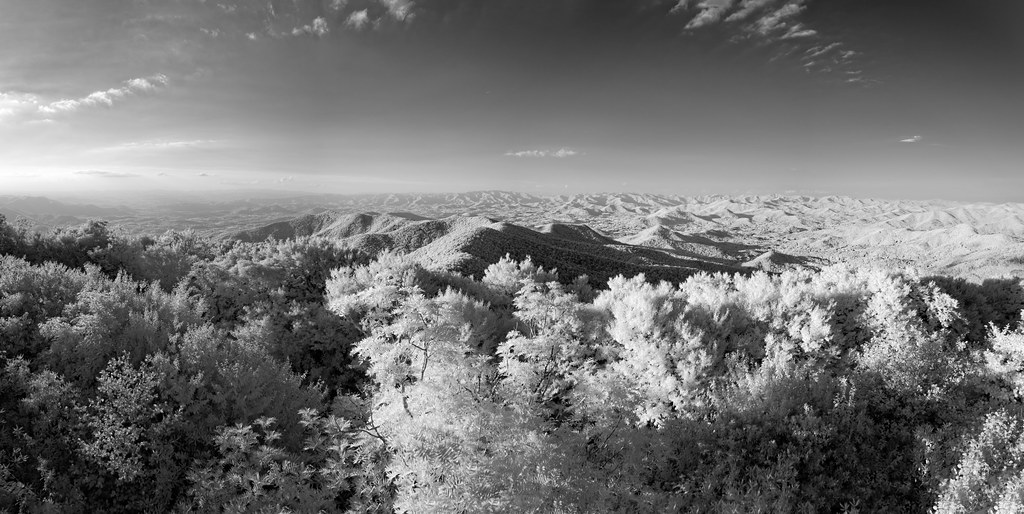
October Morning -- Brasstown Bald
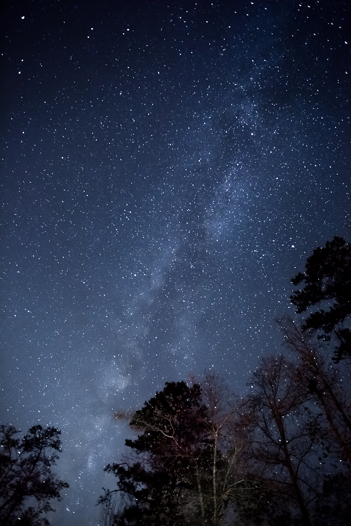
Milky Way
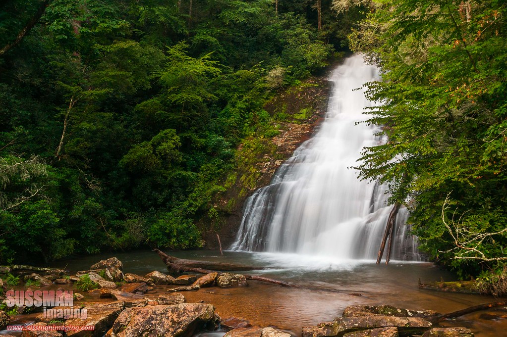
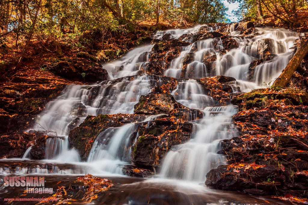
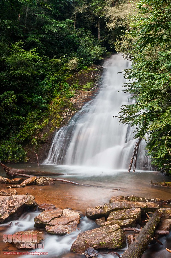
Helton Creek Falls

Helton Creek Falls
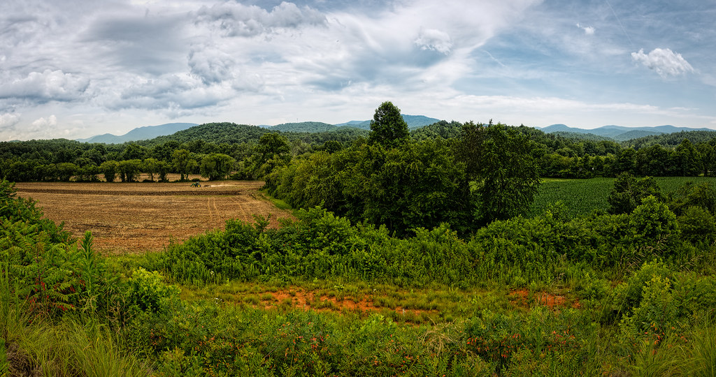
Finish the plowing before it rains
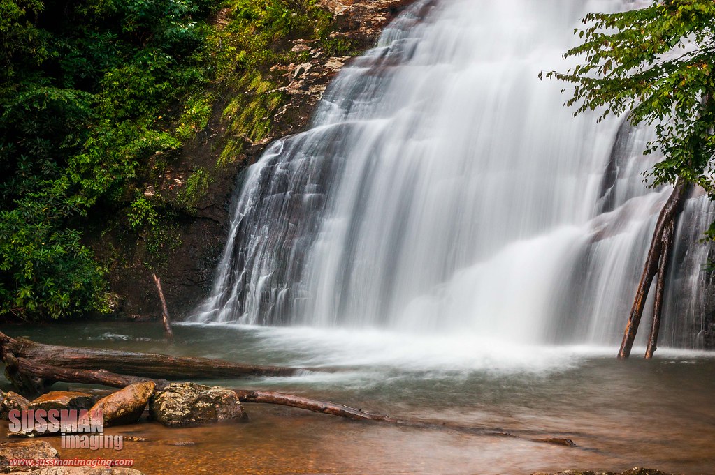
Helton Creek Falls

Vogel State Park

Vogel State Park

Lake Winfield Scott

A North Georgia Sunset

#water #falls #rock #soft #vogelstatepark #mountains #camping #winter

_DSC9910_edited-1.JPG
Helton Creek Falls
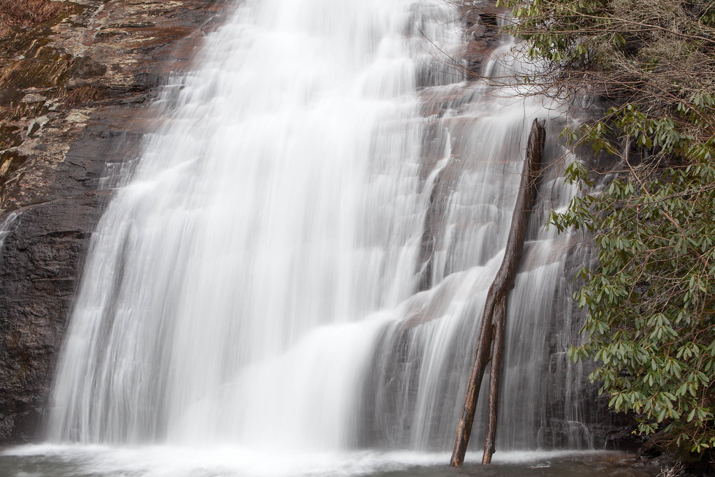
Early Falls
IMG_5534.jpg

Cupid Falls Young Harris GA

Baldtown Brass - #brasstownbald #brasstown #highestpoint #georgia #blairsvillega #exploregeorgia #atlantatrails #georgiatrails #appalachianmountains #blueridgemountains #mountains #clouds #nature #thesouthernfront #theamericancollective #thesouth #thegrea
Topographic Map of Blairsville, GA, USA
Find elevation by address:

Places in Blairsville, GA, USA:
Bryon Hood Rd, Blairsville, GA, USA
Collins Rd, Blairsville, GA, USA
Northpointe Drive
Sosebee Cove
Dowis Drive
Wilmar Circle
Critter Crossing
Doc Thomas Ridge Road
Owen Glen Drive
Crumby Creek Terrace
Deyton Drive
Blue Ridge Hwy, Blairsville, GA, USA
Fain Branch Rd, Blairsville, GA, USA
Murphy Hwy, Blairsville, GA, USA
Jones Creek Rd S, Blairsville, GA, USA
Murphy Hwy, Blairsville, GA, USA
Back Log Road
Arrowood Pointe
High Lane
Butt Road
Sky Valley
My Creek Road
Maggie Lane
Plott Street
Mccarter Drive
Stephie's Court
Highland Trace
Troy Drive
Kimbrell Lane
Rizzitello Lane
Young Cane Creek Road
Elisha Payne Circle South
Barnes Creek Road
Fortenberry Circle
Big Sky Road
Holly Springs Lane
Ridge Road
Hatchet Creek Road
Robertson Drive
Trey Drive
Thunderstruck Trail
Scona Lane
Tree House Lane
Plott Town Road
Barnes Mill Road
Voyles Town Road
Bowers Road
Gum Log Road
Laurel Mountain Estates Boulevard
Pleasant Grove Road
Bitter Creek Place
Wilson Lane
Davenport Drive
Wilson Mountain Road
Cindy Cove Road
Chestnut Cove Road
Queen Road
Rippling Waters Road
Cozy Cove Road
Redfox Trail
Ivylog
Barney Lane
Mccullers Road
Hickory Trail
Davenport Road
Hickory Heights Road
Nottely Lake
Northwoods Circle
Jims Road
Surles Ridge Lane
Kellie Dr Ii
Roberts Road
Roscoe Road
Creekmont Drive
Carroll Road
Trackrock Camp Road
Bulldog Lane
Allison Ridge Road
Bulldog
Botts Johnson Drive
Wilson Way
River View Road
Hamilton Road
Stable Gate Drive
Woodland Drive
Garrett Circle
Tinas Court
Thousand Oaks Road
Reece Creek Road West
Walnut Springs Road
Hillside Lane
Hillside Trail
Meeks Park Road
Hamilton Circle
Skeenah Gap Road
High Lance Road
Jonas Mountain Road
Moon Ridge
Fisher Field
Enchanted Woods Drive
Places near Blairsville, GA, USA:
High Country Artisans Inc
101 Allison St
Plott Street
149 Allison St
161 Allison St
161 Allison St
161 Allison St
Union County Magistrate Judge
Coldwell Banker High Country Realty Leasing Department
High Country Tires & Wheels
214 Blue Ridge St
90 Fisher St
19 Woodside Dr
Blairsville-union County Chamber Of Commerce And Welcome Center
434 Cleveland St
228 Stone Dr
177 Emory Cir
Atlanta Gastroenterology Associates
Armadillo Grill
153 Panther Cir
Recent Searches:
- Elevation of Corso Fratelli Cairoli, 35, Macerata MC, Italy
- Elevation of Tallevast Rd, Sarasota, FL, USA
- Elevation of 4th St E, Sonoma, CA, USA
- Elevation of Black Hollow Rd, Pennsdale, PA, USA
- Elevation of Oakland Ave, Williamsport, PA, USA
- Elevation of Pedrógão Grande, Portugal
- Elevation of Klee Dr, Martinsburg, WV, USA
- Elevation of Via Roma, Pieranica CR, Italy
- Elevation of Tavkvetili Mountain, Georgia
- Elevation of Hartfords Bluff Cir, Mt Pleasant, SC, USA