Elevation of High Lane, High Ln, Blairsville, GA, USA
Location: United States > Georgia > Union County > Blairsville >
Longitude: -83.898143
Latitude: 34.8012217
Elevation: 590m / 1936feet
Barometric Pressure: 94KPa
Elevation Map:
Satellite Map:
Related Photos:

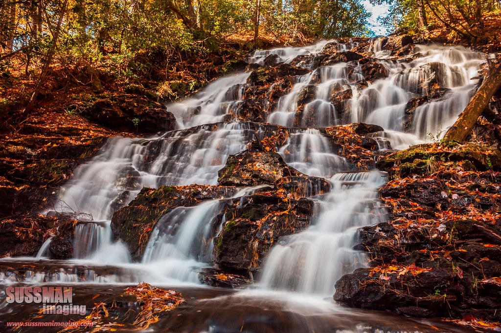
Maindenhair Falls

Maidenhair Falls

Color of Autumn at Dockery Lake
Wolf Creek Falls

Faucet Falls

Helton Creek Falls

Faucet Falls

Helton Creek Falls

Early Spring Stars

Maidenhair Falls

Maidenhair Falls

Dodd Creek Falls

Dodd Creek Falls

Dodd Creek Falls

Autumn at Dockery Lake

Winter Jewel

Falls on Dukes Creek

Maidenhair Falls

Lower Falls Helton Creek

Dukes Creek Falls

Dodd Creek Falls

Falls on Dukes Creek

Falls on Dukes Creek

Dover Falls

Upper Helton Creek Falls

Dodd Creek Falls
Topographic Map of High Lane, High Ln, Blairsville, GA, USA
Find elevation by address:

Places near High Lane, High Ln, Blairsville, GA, USA:
7568 Gainesville Hwy
Scona Lane
330 Old Bald Mountain Rd
97 Mountain Lake Blvd
153 Wolf Creek View
284 Vista Cir
294 Vista Cir
82 Cm Combs Ridge
82 Cm Combs Ridge
River's Edge Rv Park
160 Champ Lance Rd
Grassy Knoll
Scenic Drive
1125 Old Sullivan Rd
Allison Ridge Road
708 Wilson Mountain Rd
708 Wilson Mountain Rd
708 Wilson Mountain Rd
96 Wilson Mountain Rd
Wilson Mountain Road
Recent Searches:
- Elevation of Kreuzburger Weg 13, Düsseldorf, Germany
- Elevation of Gateway Blvd SE, Canton, OH, USA
- Elevation of East W.T. Harris Boulevard, E W.T. Harris Blvd, Charlotte, NC, USA
- Elevation of West Sugar Creek, Charlotte, NC, USA
- Elevation of Wayland, NY, USA
- Elevation of Steadfast Ct, Daphne, AL, USA
- Elevation of Lagasgasan, X+CQH, Tiaong, Quezon, Philippines
- Elevation of Rojo Ct, Atascadero, CA, USA
- Elevation of Flagstaff Drive, Flagstaff Dr, North Carolina, USA
- Elevation of Avery Ln, Lakeland, FL, USA