Elevation of Hardyville, KY, USA
Location: United States > Kentucky >
Longitude: -85.786081
Latitude: 37.2542216
Elevation: 217m / 712feet
Barometric Pressure: 99KPa
Elevation Map:
Satellite Map:
Related Photos:
Mail Pouch Tobacco barn in Kentucky
Bull Durham and Coca-Cola
Munfordville Battlefield
View from Fort Craig

Bale Tobacco Warehouse

Bale Tobacco Warehouse

the view down someone's shirt
Home on the range.
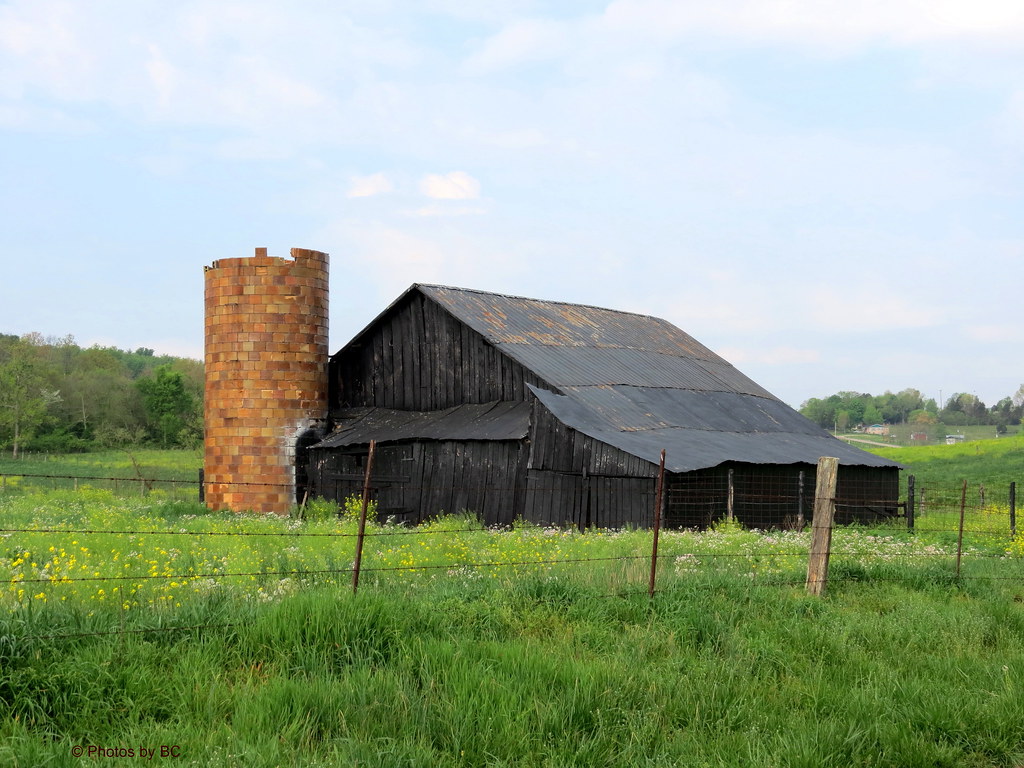
Black Barn.HFF!
Kentucky Caverns
Kentucky Backroads
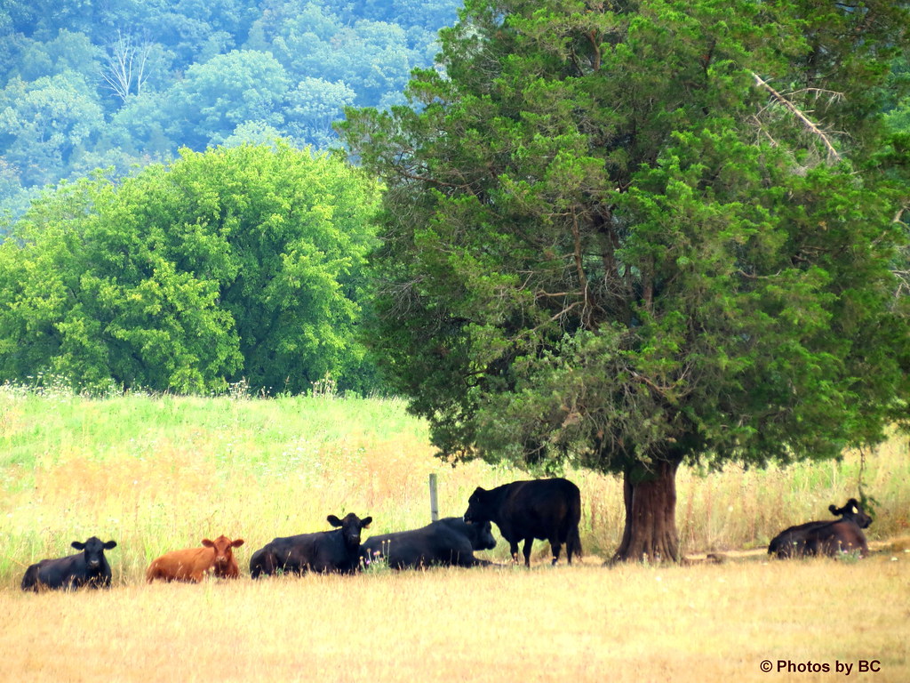
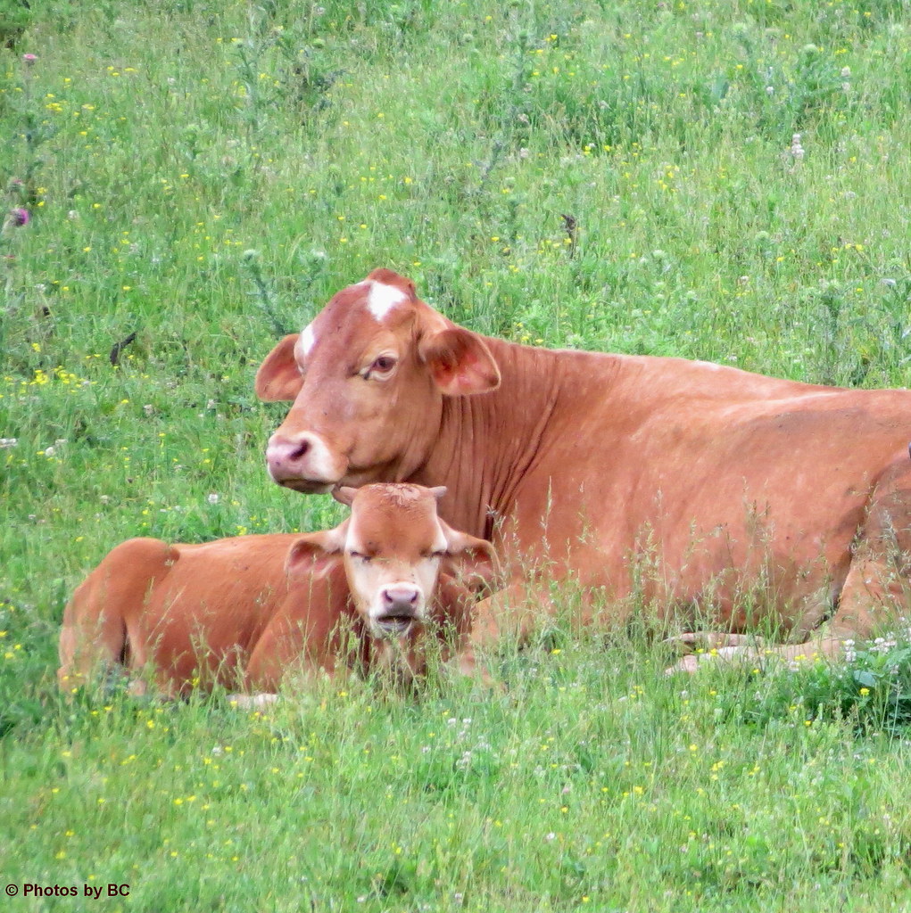
Cowscape.
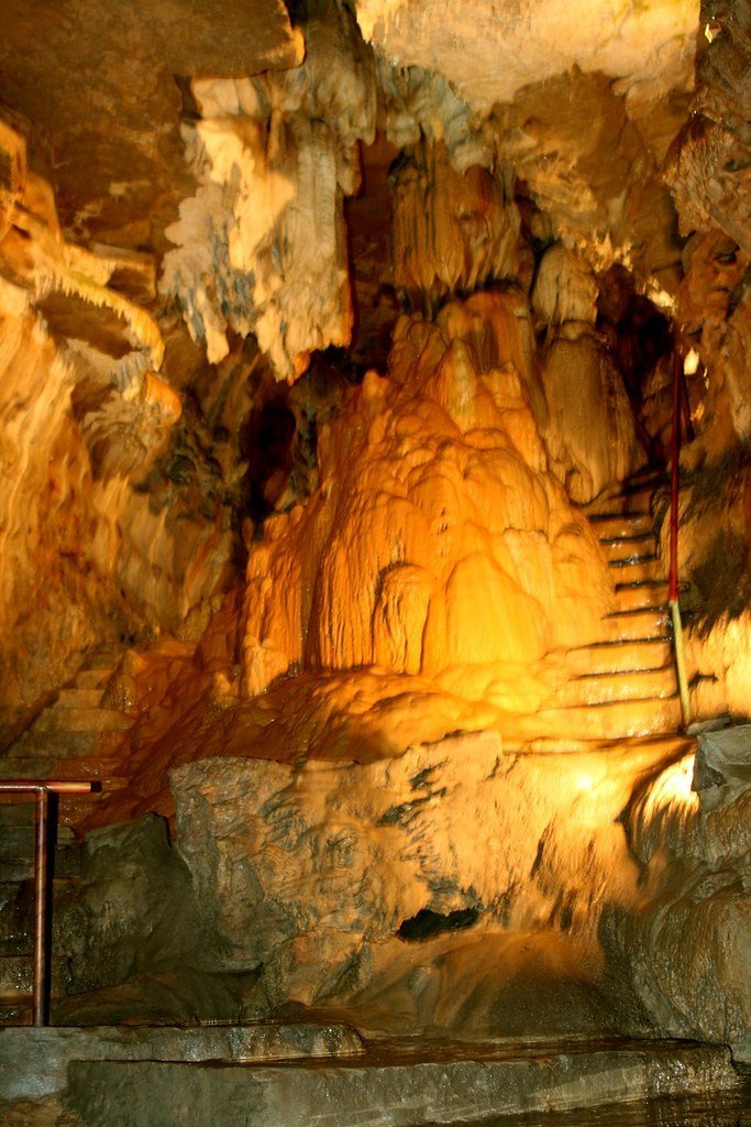
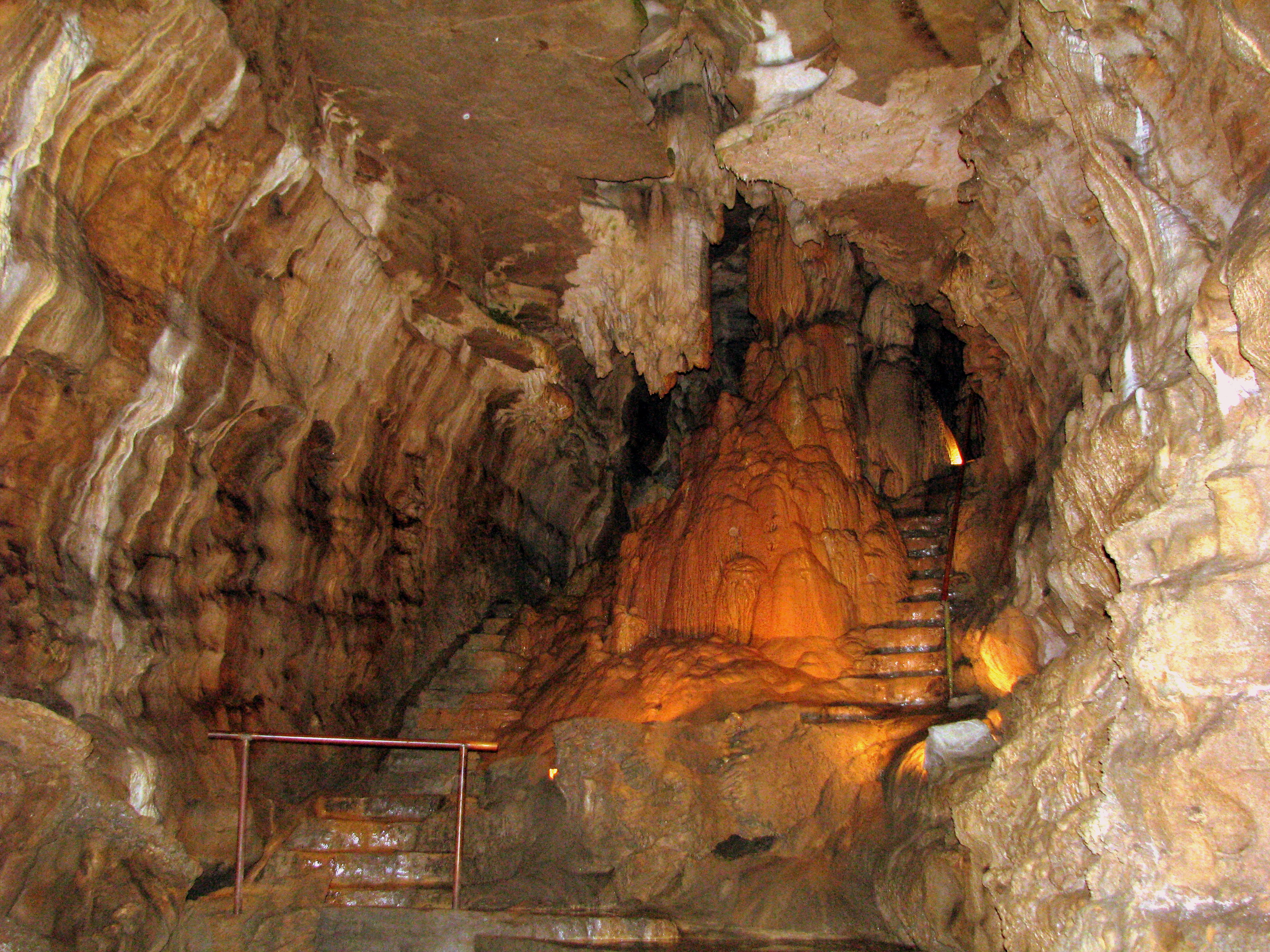
Inside the cave

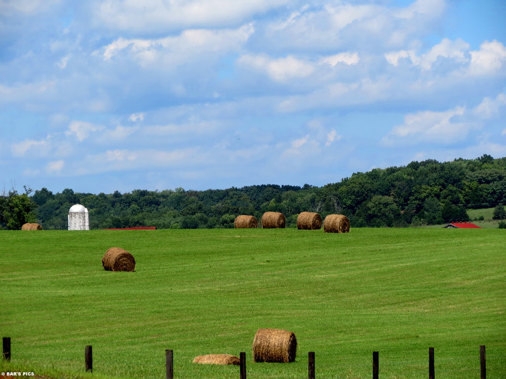
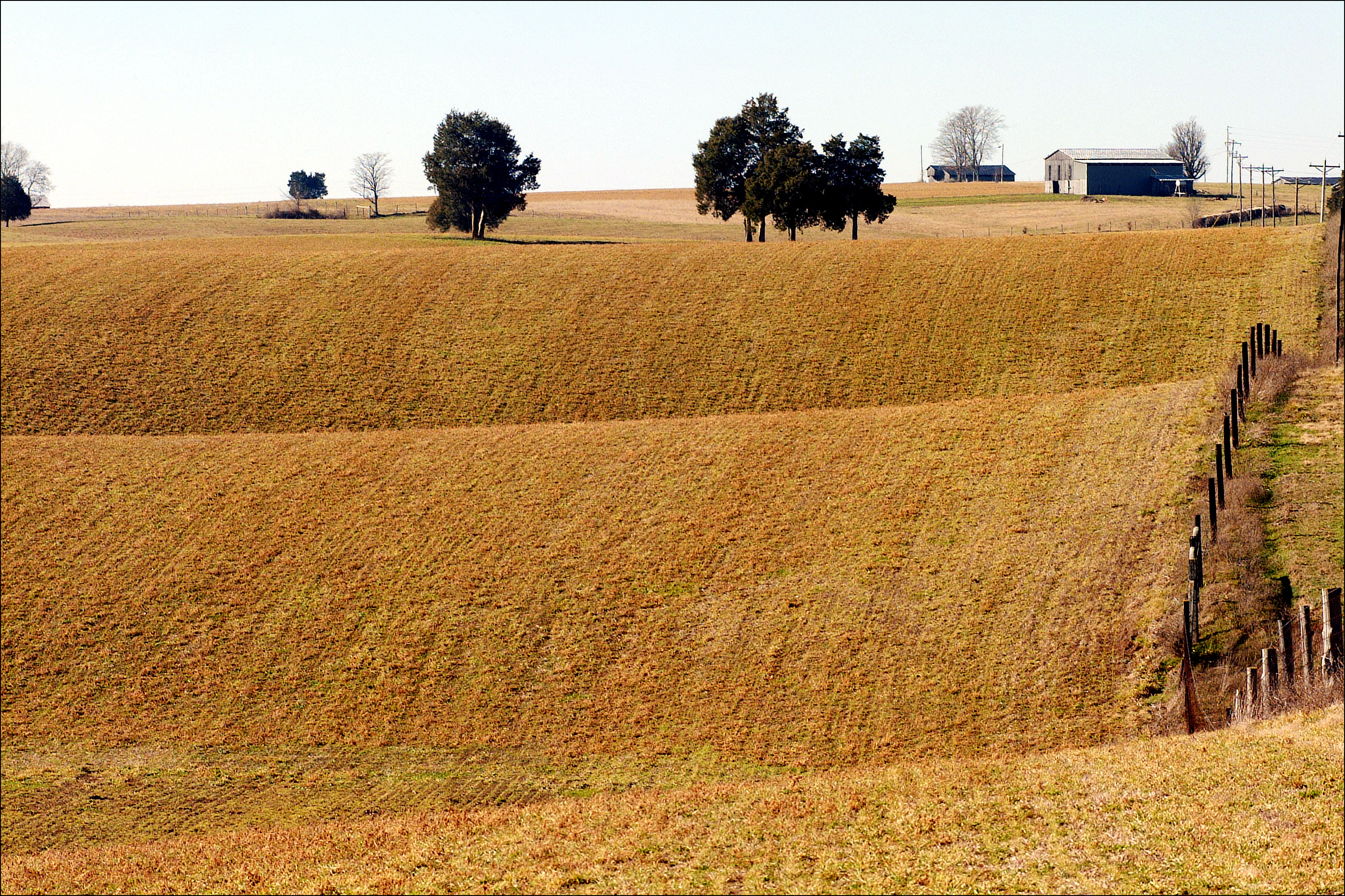
Early Morning Drive.
Cave country
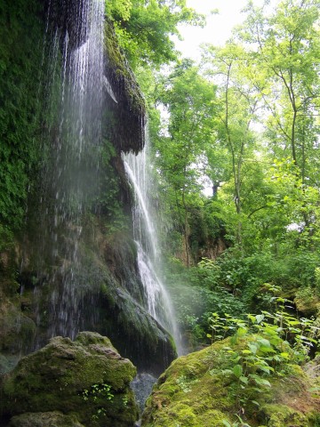
300 Springs 13
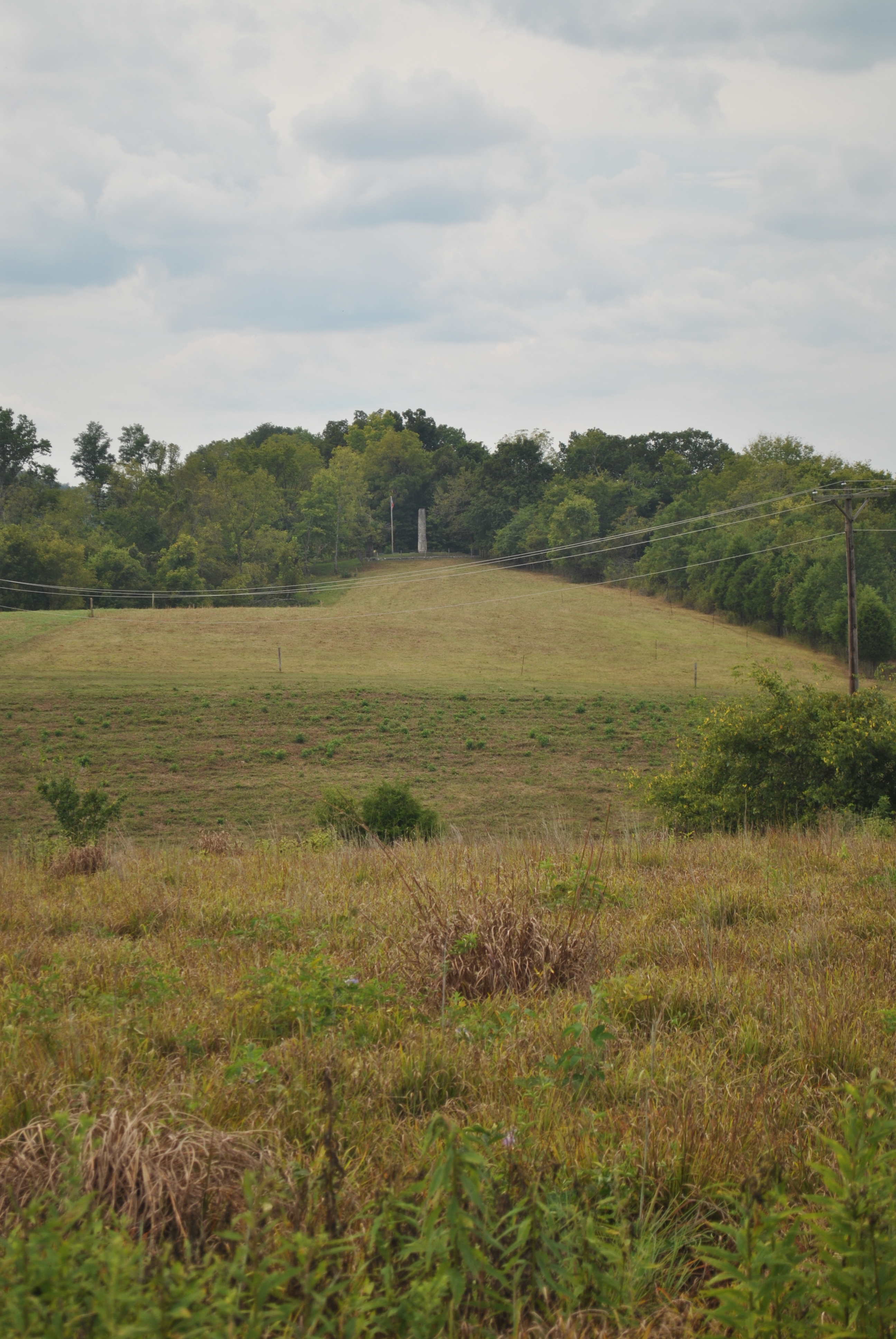
Colonel Robert A. Smith Monument
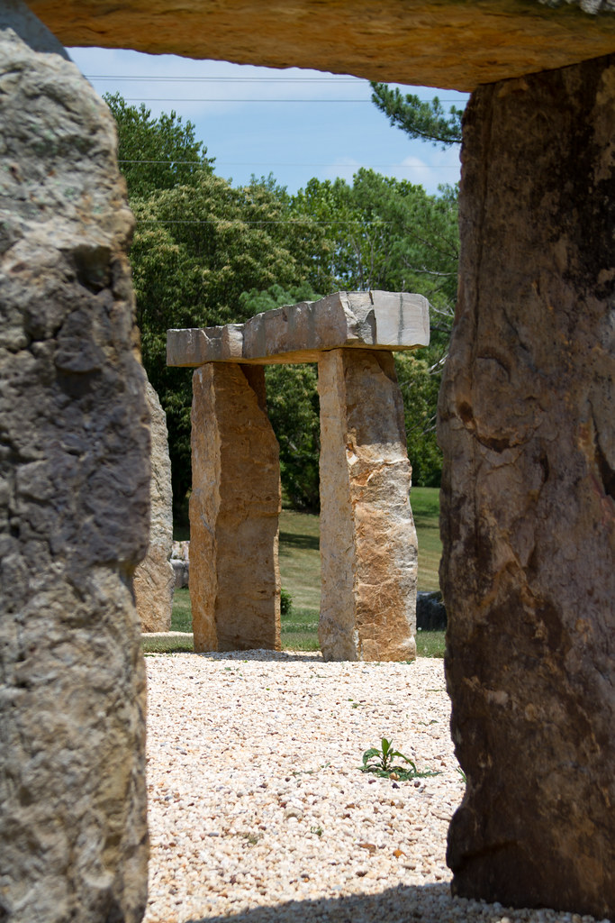
KY Stonehenge
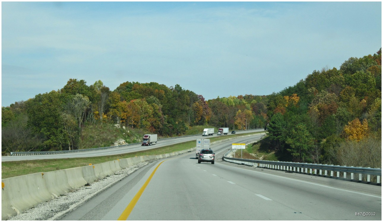
From Bowling Green on I65 North - Kentucky - USA
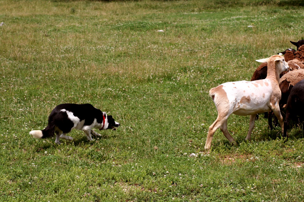
Sheepdog Working
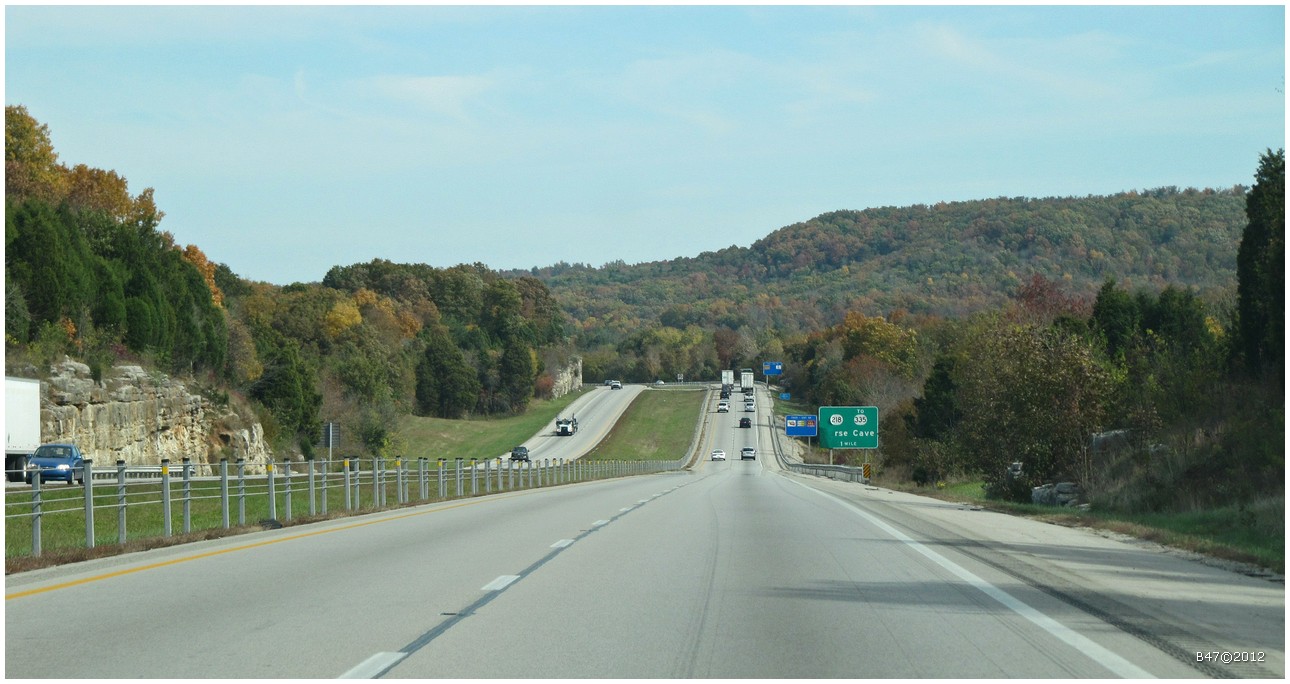
From Bowling Green on I65 North - Kentucky - USA
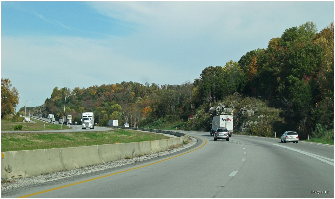
From Bowling Green on I65 North - Kentucky - USA
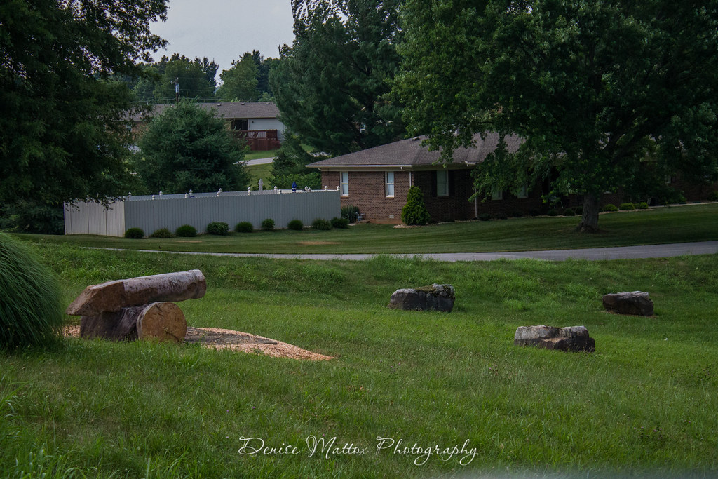
Kentucky Stonehenge & Cannon Hill
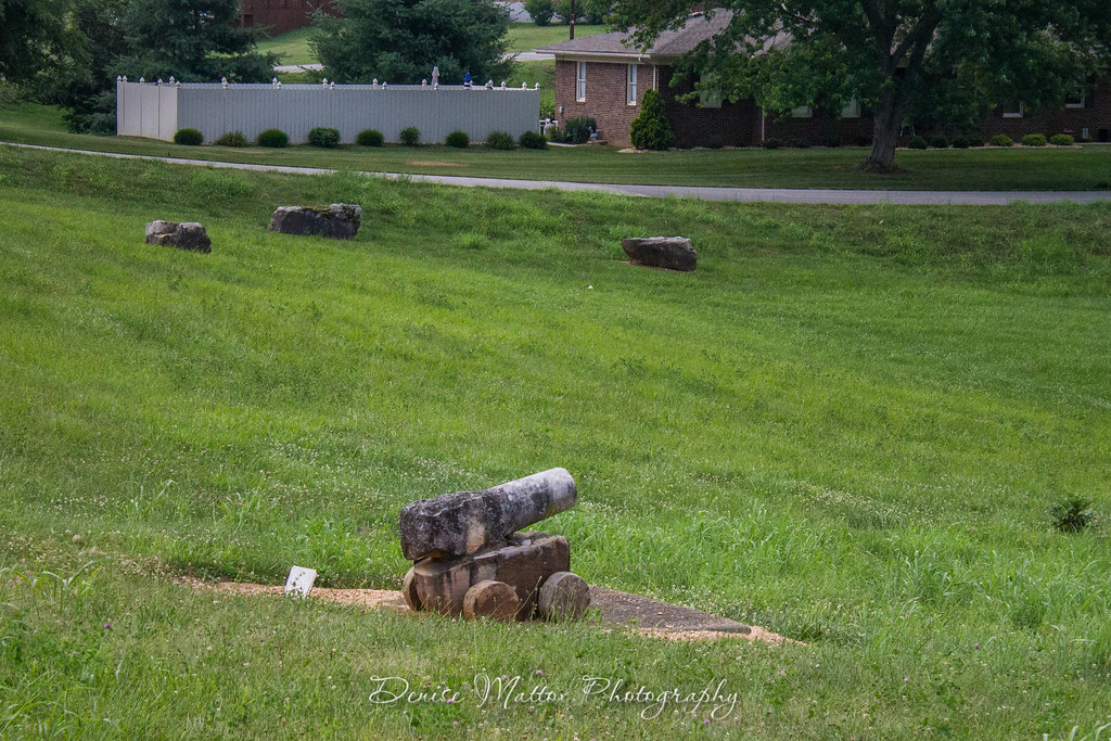
Kentucky Stonehenge & Cannon Hill
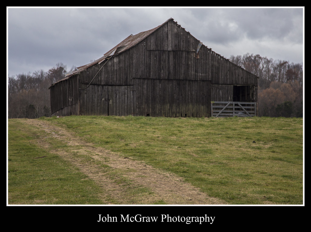
Path to Kentucky Barn
Topographic Map of Hardyville, KY, USA
Find elevation by address:

Places near Hardyville, KY, USA:
70 Legrande School Rd, Horse Cave, KY, USA
Hart County
Munfordville
781 Raider Hollow Rd
Horse Cave
728 Hidden River Rd
Bonnieville
Cave City
Broadway St, Cave City, KY, USA
95 Lone Star Tower Rd
Upton
20 Charles Jaggers Rd
103 Hummingbird Ln
77 Howard Bull Rd
299 Murrieltown Rd
299 Murrieltown Rd
Cub Run Hwy, Cub Run, KY, USA
Cub Run
505 N Race St
1480 Dripping Springs Rd
Recent Searches:
- Elevation of Bella Terra Blvd, Estero, FL, USA
- Elevation of Estates Loop, Priest River, ID, USA
- Elevation of Woodland Oak Pl, Thousand Oaks, CA, USA
- Elevation of Brownsdale Rd, Renfrew, PA, USA
- Elevation of Corcoran Ln, Suffolk, VA, USA
- Elevation of Mamala II, Sariaya, Quezon, Philippines
- Elevation of Sarangdanda, Nepal
- Elevation of 7 Waterfall Way, Tomball, TX, USA
- Elevation of SW 57th Ave, Portland, OR, USA
- Elevation of Crocker Dr, Vacaville, CA, USA