Elevation of 95 Lone Star Tower Rd, Bonnieville, KY, USA
Location: United States > Kentucky > Hart County > Bonnieville >
Longitude: -85.947769
Latitude: 37.4040229
Elevation: 271m / 889feet
Barometric Pressure: 98KPa
Elevation Map:
Satellite Map:
Related Photos:

CSXT K538, Sonora, KY

Hay Field In The Morning Light..

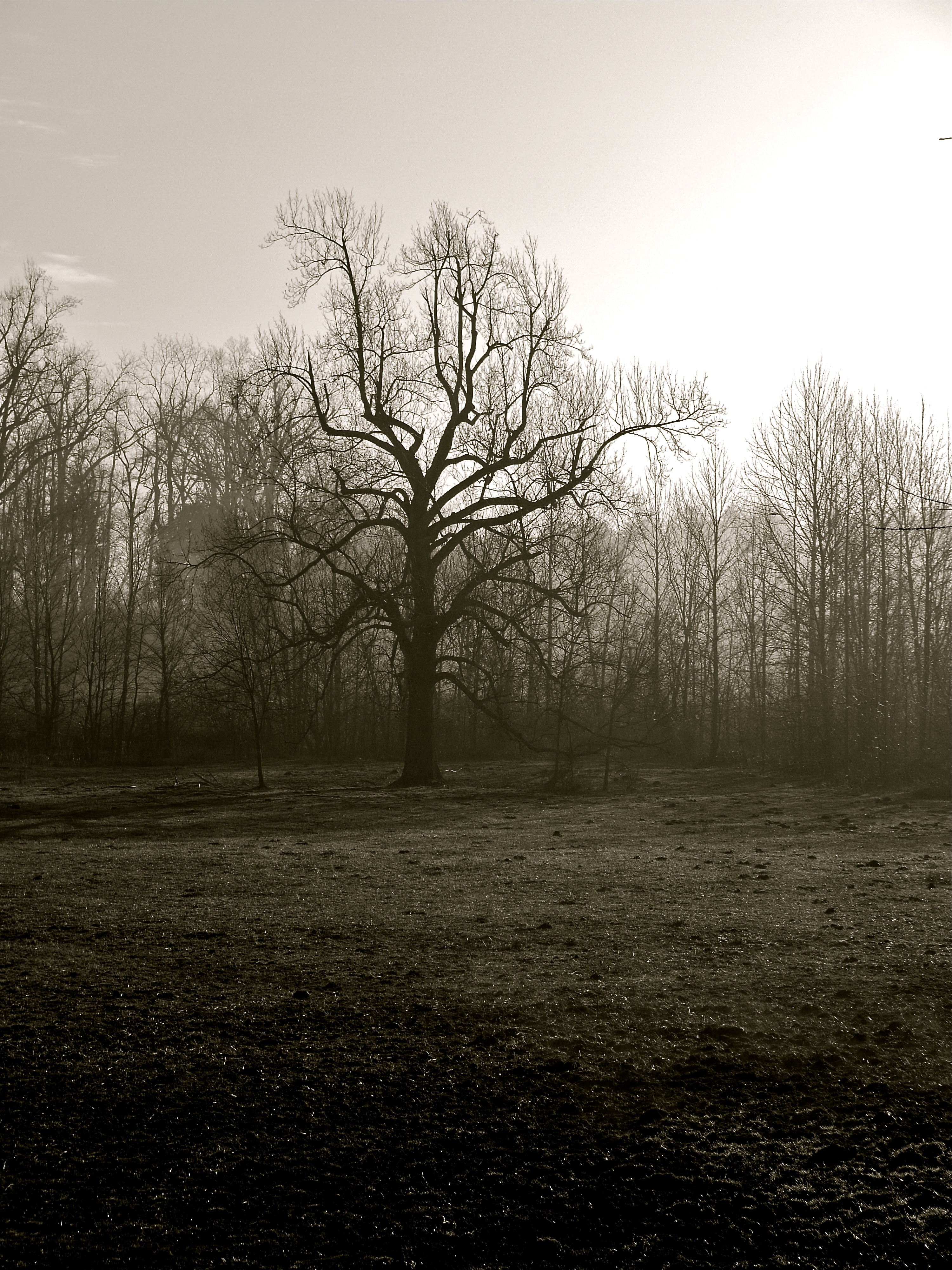
GUTEN MORGEN.

Foggy Morning in Kentucky
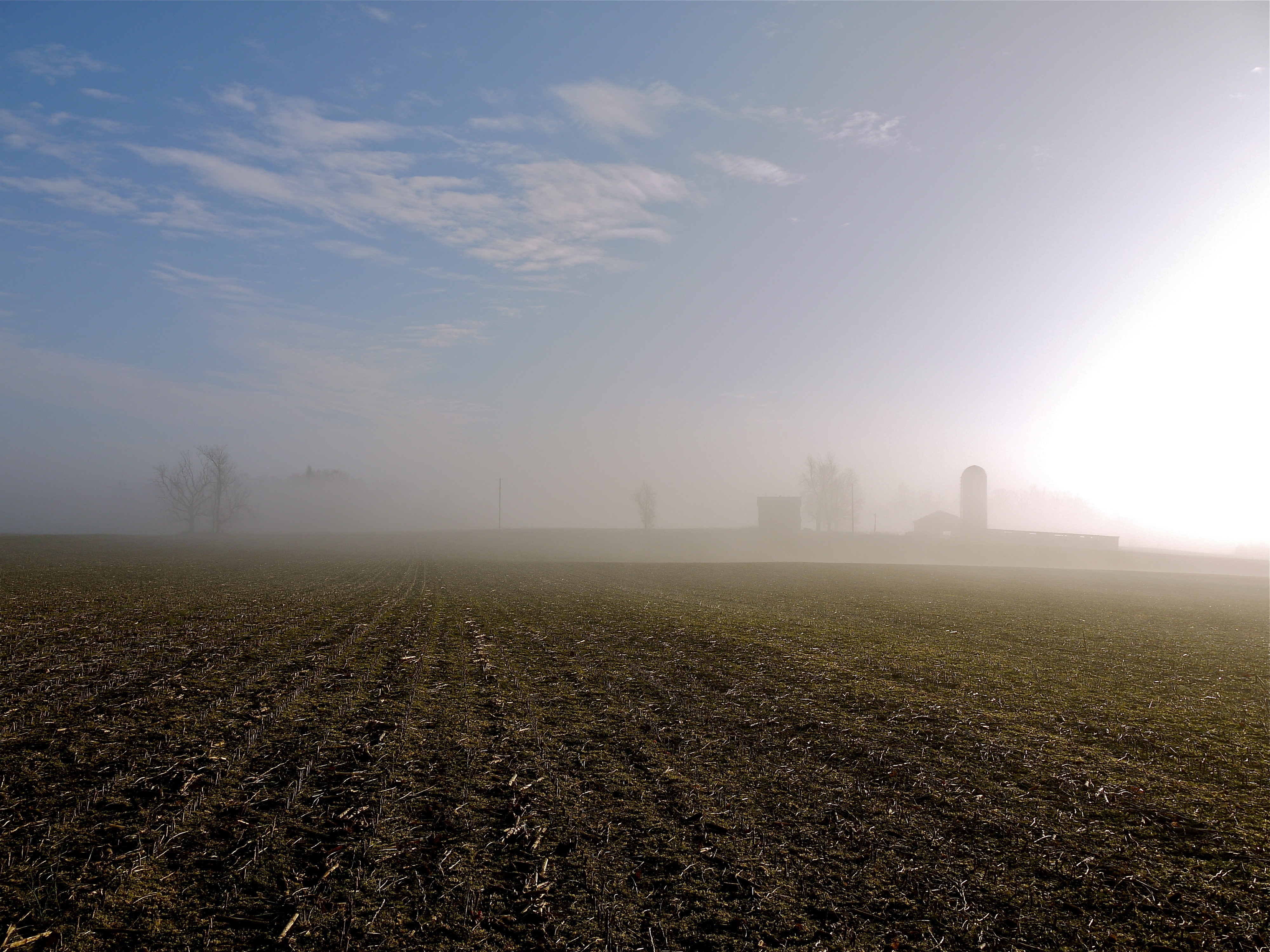
Foggy Morning in Kentucky
Foggy Morning in Kentucky

CSX Q201-30, Sonora,KY 7/30/2014

Fixin' the electric fence out back of the main field. Feels good to be in the country.
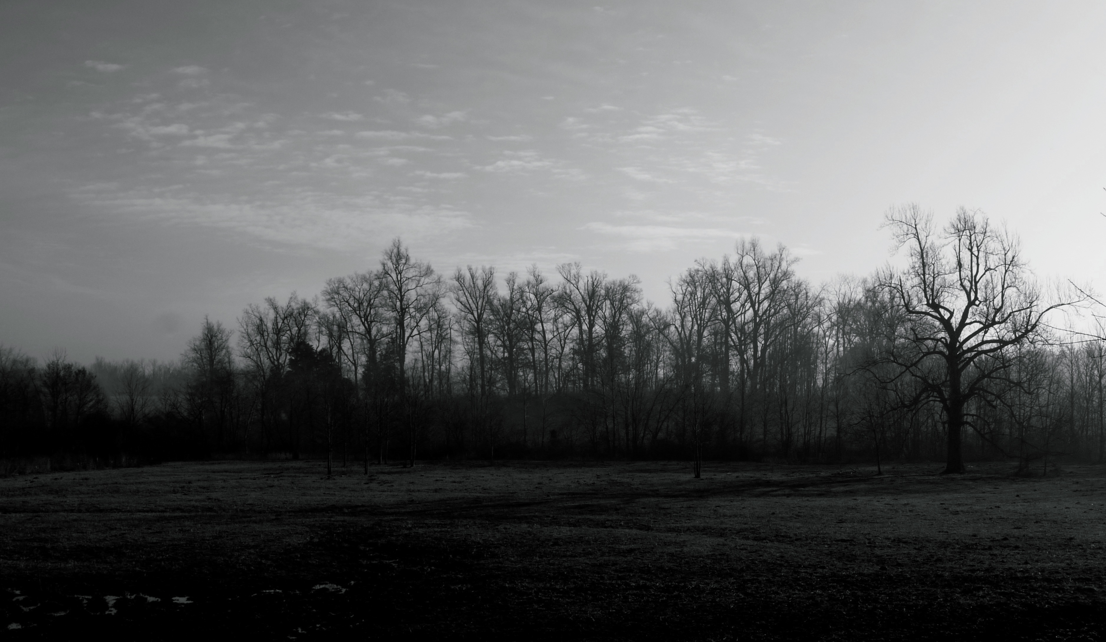
Foggy Morning in Kentucky
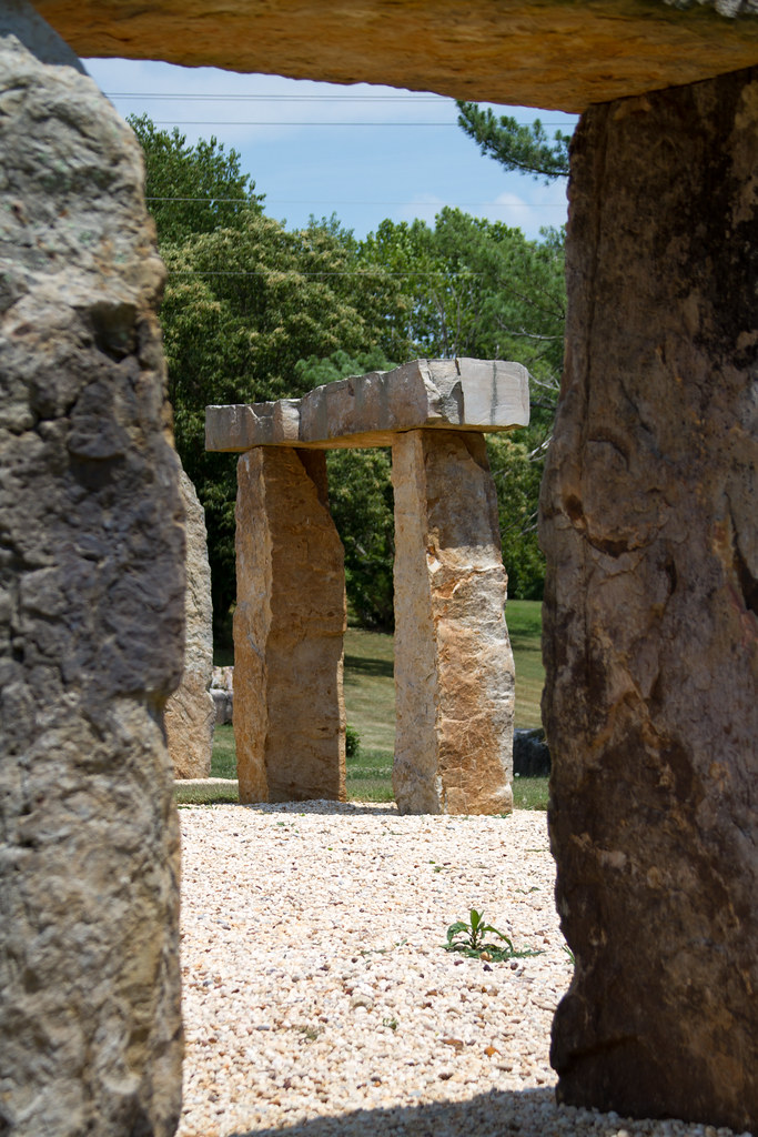
KY Stonehenge
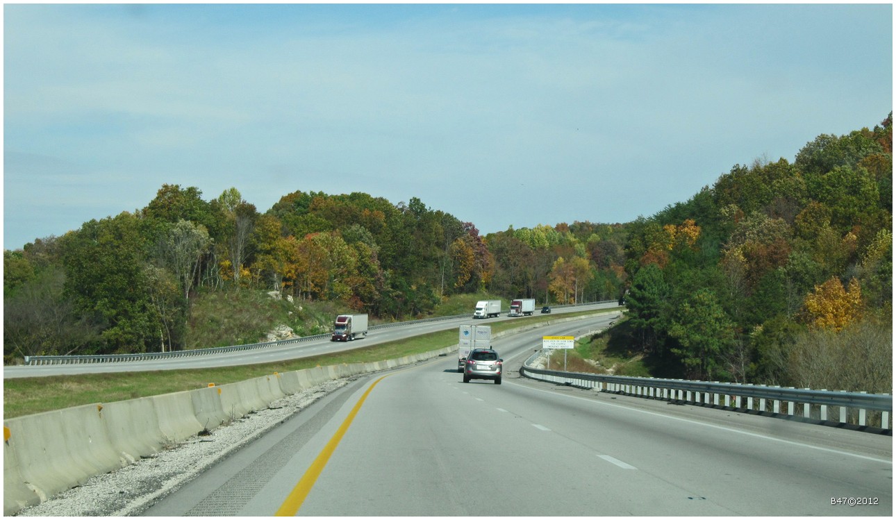
From Bowling Green on I65 North - Kentucky - USA
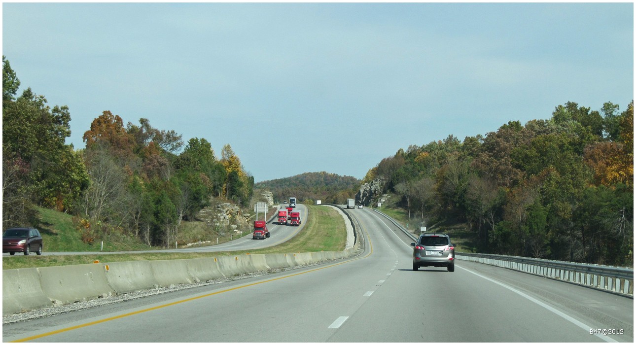
From Bowling Green on I65 North - Kentucky - USA
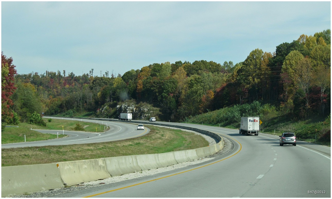
From Bowling Green on I65 North - Kentucky - USA
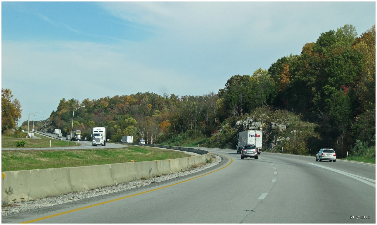
From Bowling Green on I65 North - Kentucky - USA
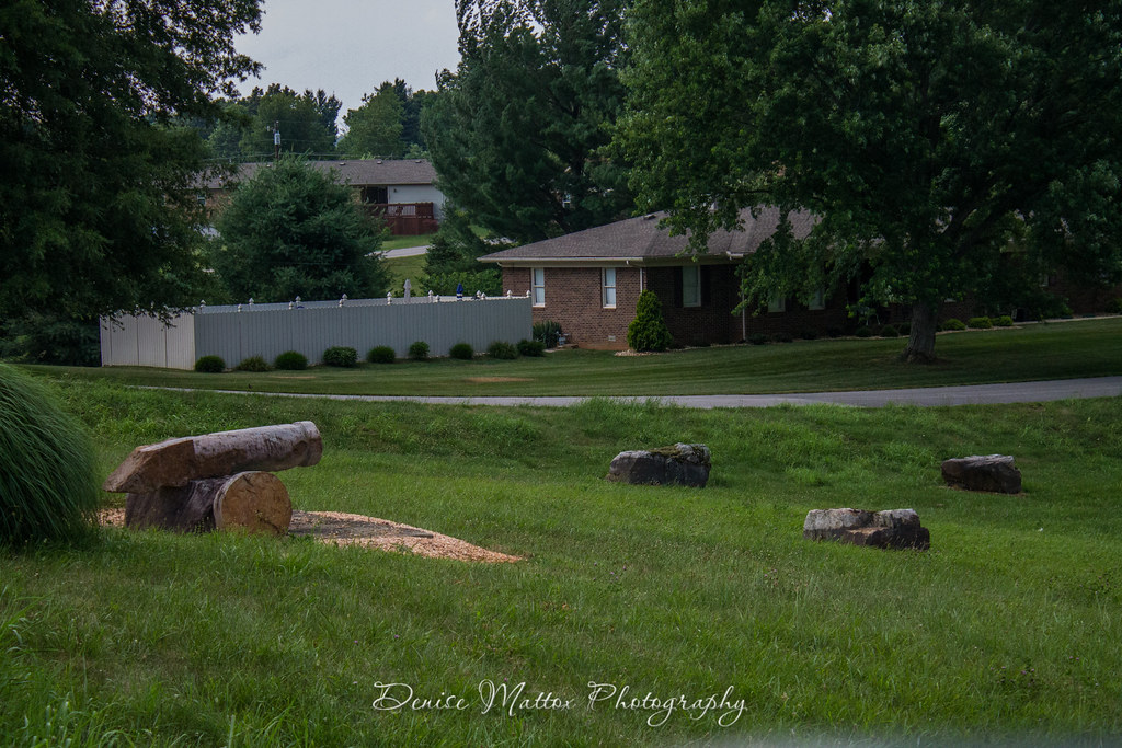
Kentucky Stonehenge & Cannon Hill
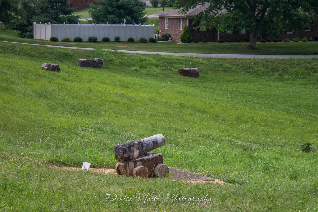
Kentucky Stonehenge & Cannon Hill
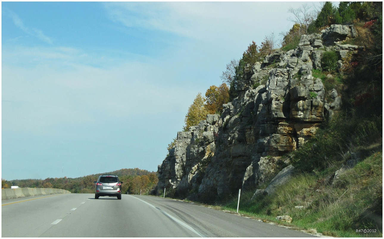
From Bowling Green on I65 North - Kentucky - USA
Topographic Map of 95 Lone Star Tower Rd, Bonnieville, KY, USA
Find elevation by address:

Places near 95 Lone Star Tower Rd, Bonnieville, KY, USA:
Bonnieville
Upton
555 Fields Ln
Flint Hill Road
Raider Hollow Rd, Upton, KY, USA
781 Raider Hollow Rd
20 Charles Jaggers Rd
29 E Western Ave, Sonora, KY, USA
Sonora
Hart County
299 Murrieltown Rd
299 Murrieltown Rd
Cub Run Hwy, Cub Run, KY, USA
Munfordville
Cub Run
2921 Shaw Creek Rd
3069 Shaw Creek Rd
3075 Shaw Creek Rd
Millerstown Rd, Clarkson, KY, USA
Cub Run Hwy, Cub Run, KY, USA
Recent Searches:
- Elevation of Elwyn Dr, Roanoke Rapids, NC, USA
- Elevation of Congressional Dr, Stevensville, MD, USA
- Elevation of Bellview Rd, McLean, VA, USA
- Elevation of Stage Island Rd, Chatham, MA, USA
- Elevation of Shibuya Scramble Crossing, 21 Udagawacho, Shibuya City, Tokyo -, Japan
- Elevation of Jadagoniai, Kaunas District Municipality, Lithuania
- Elevation of Pagonija rock, Kranto 7-oji g. 8"N, Kaunas, Lithuania
- Elevation of Co Rd 87, Jamestown, CO, USA
- Elevation of Tenjo, Cundinamarca, Colombia
- Elevation of Côte-des-Neiges, Montreal, QC H4A 3J6, Canada