Elevation of Cub Run Hwy, Cub Run, KY, USA
Location: United States > Kentucky > Hart County > Cub Run >
Longitude: -86.092547
Latitude: 37.3178877
Elevation: 245m / 804feet
Barometric Pressure: 98KPa
Elevation Map:
Satellite Map:
Related Photos:

The Altar 1866 vs 2011
Historic Entrance
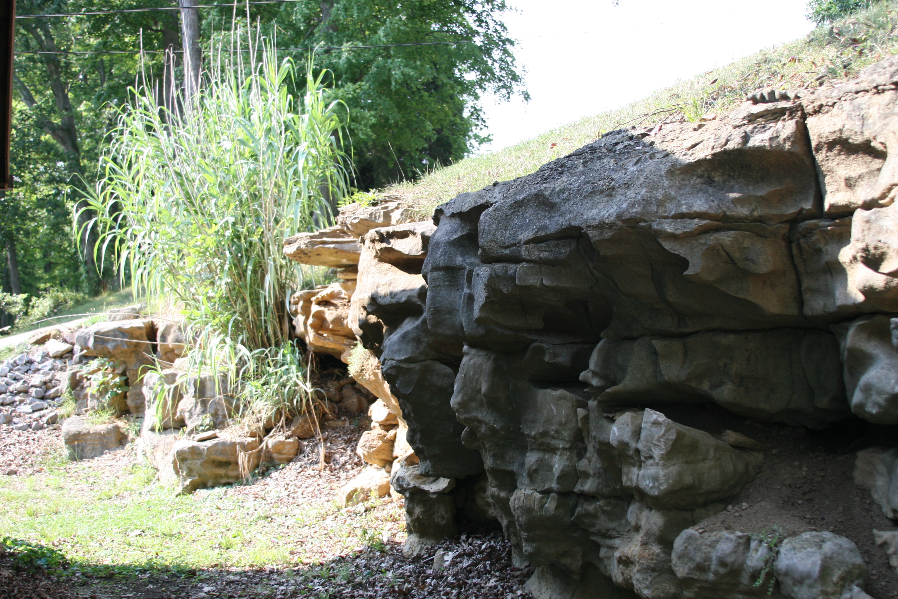
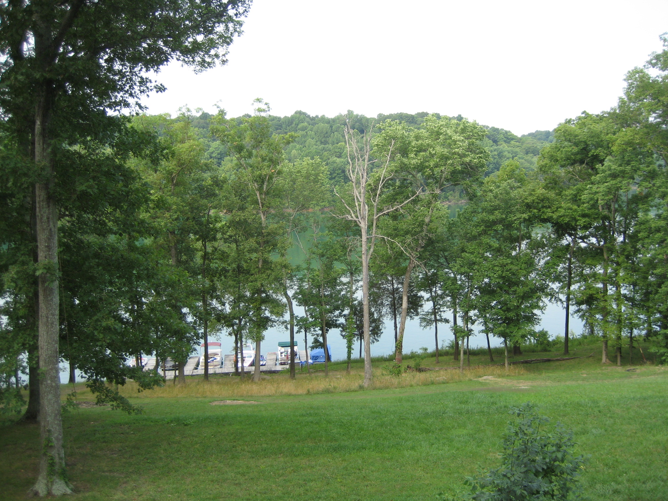
View of the Rocks behing the rental house at Nolin lake
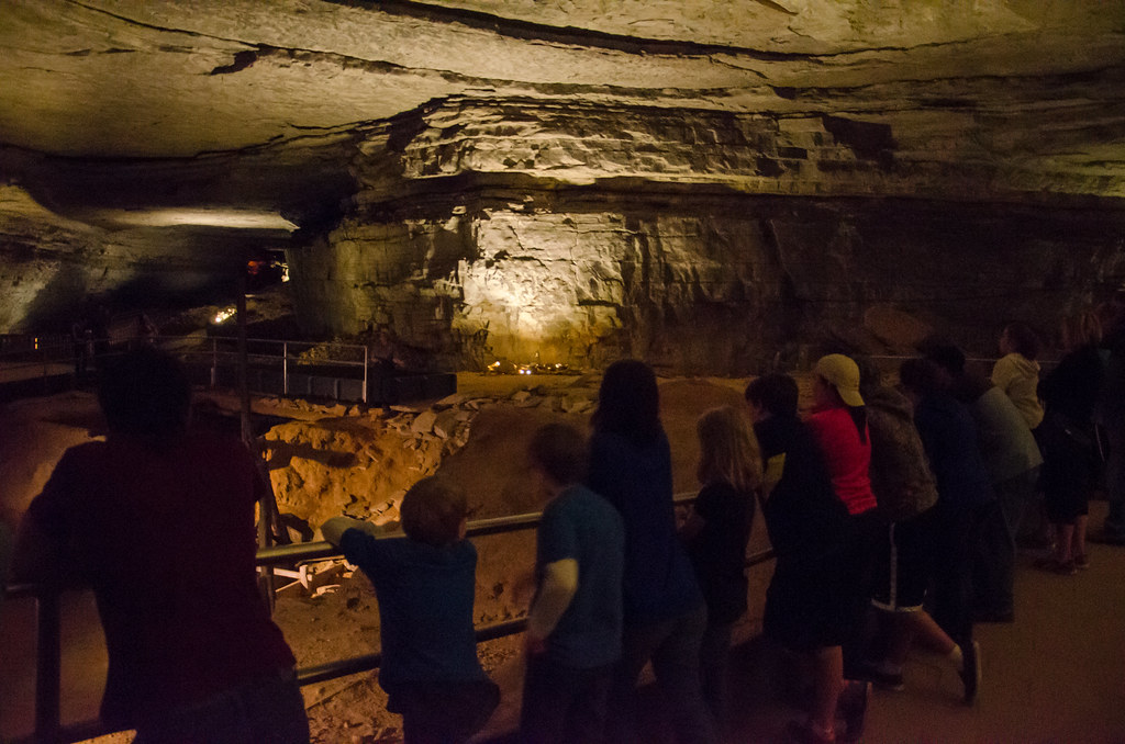
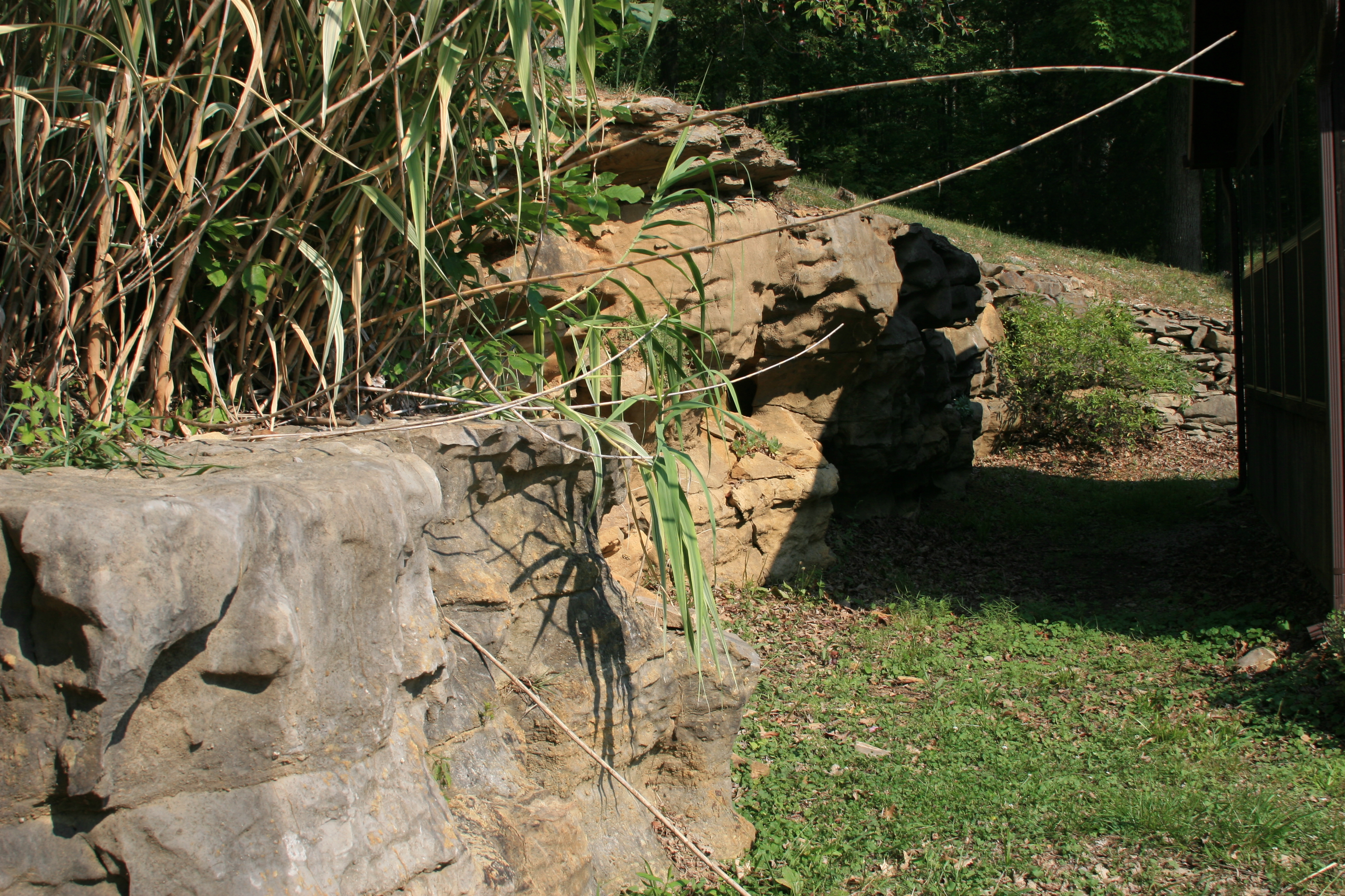
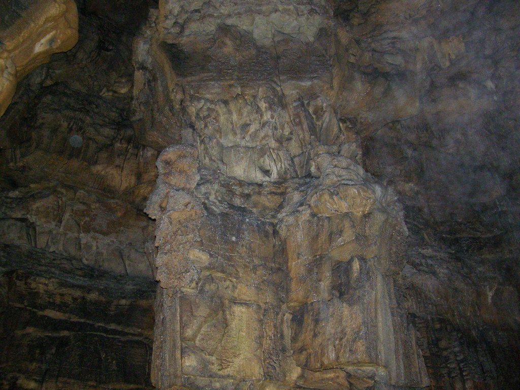
Viewing the old salpeter mine in the Rotunda
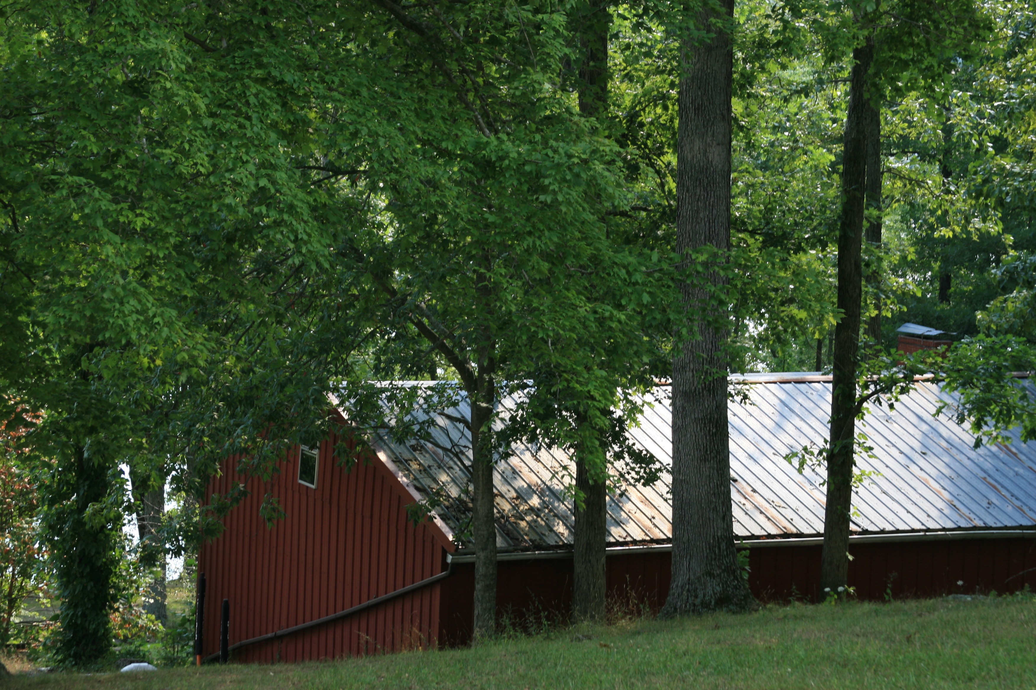
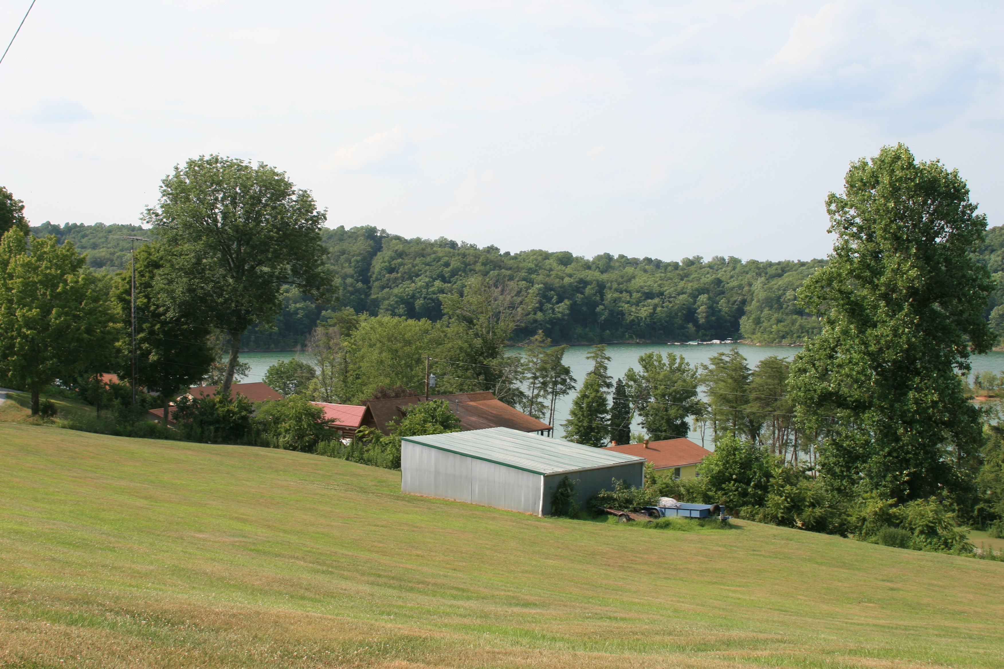
View of the garage
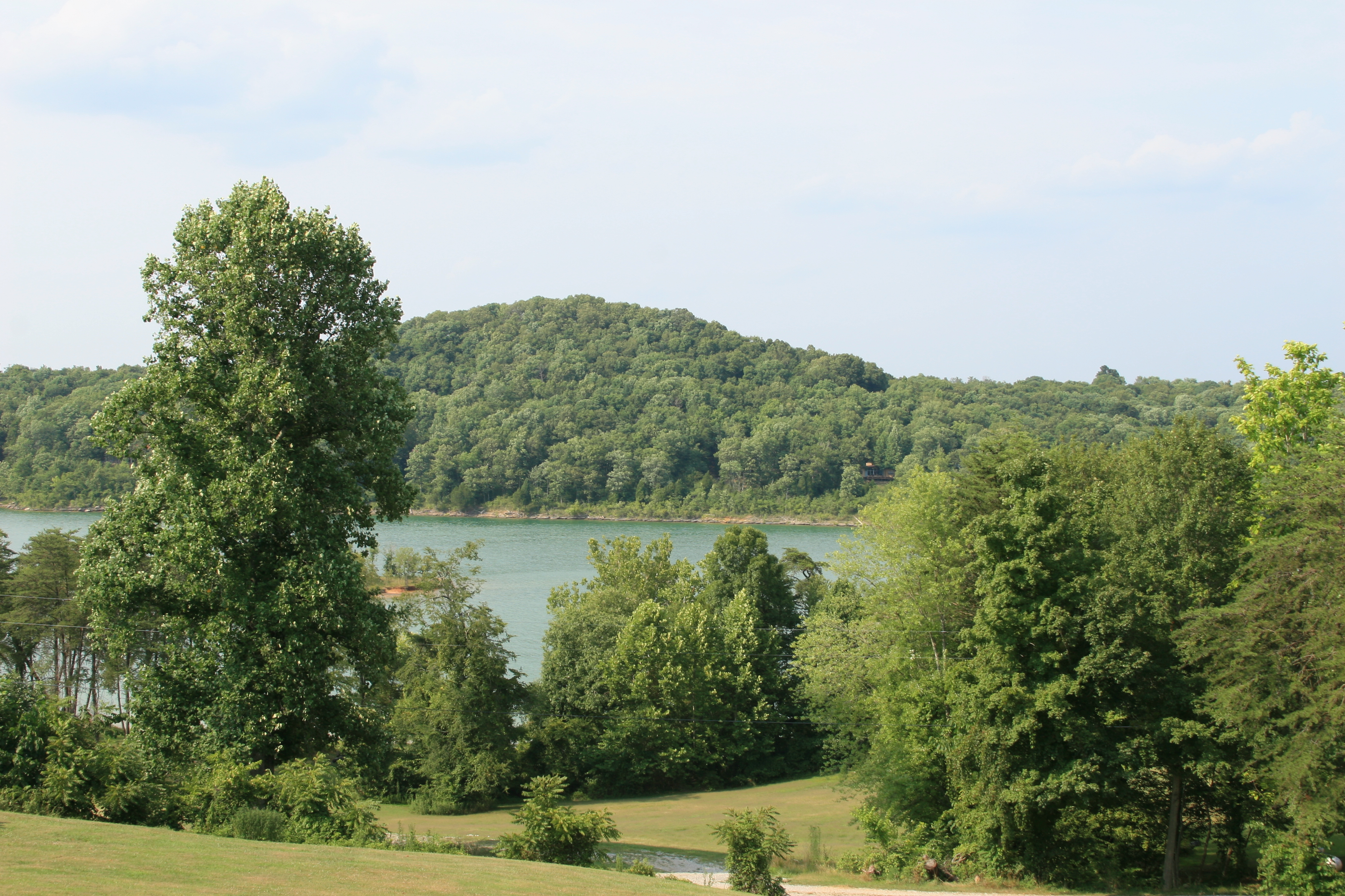
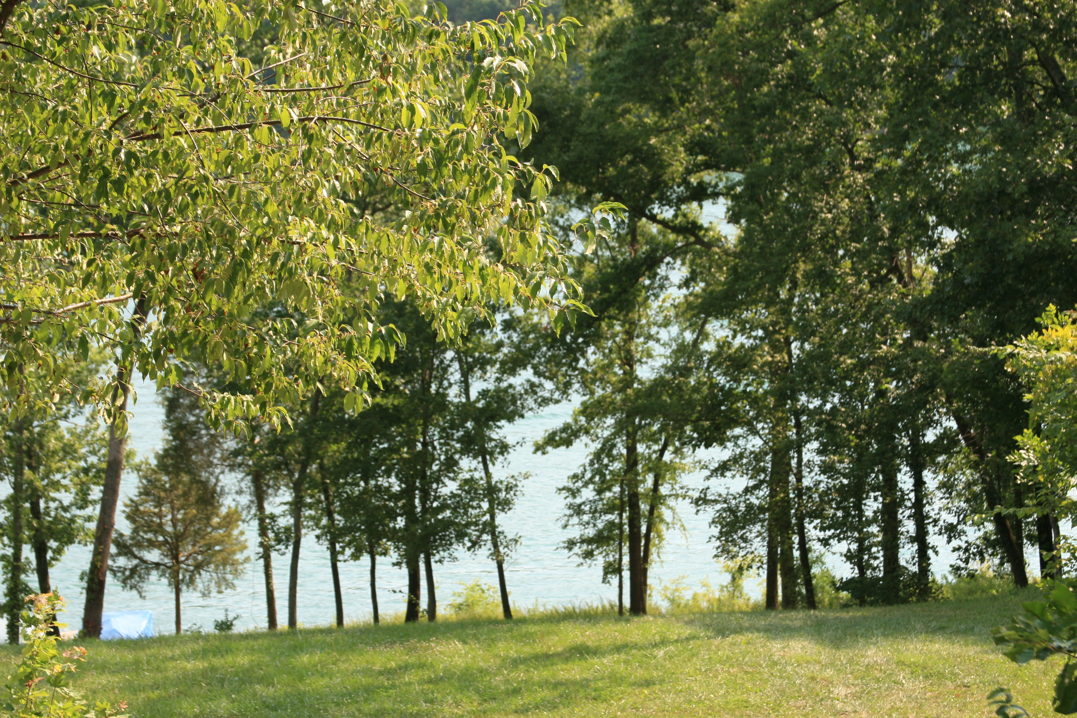
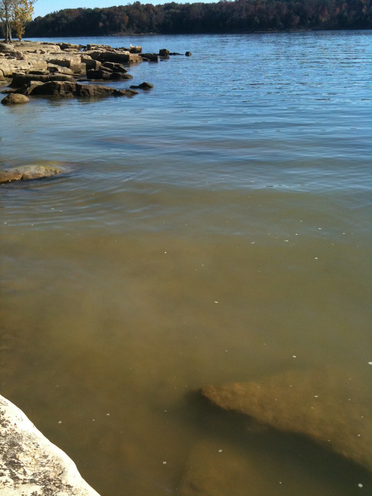
View of Nolin Lake

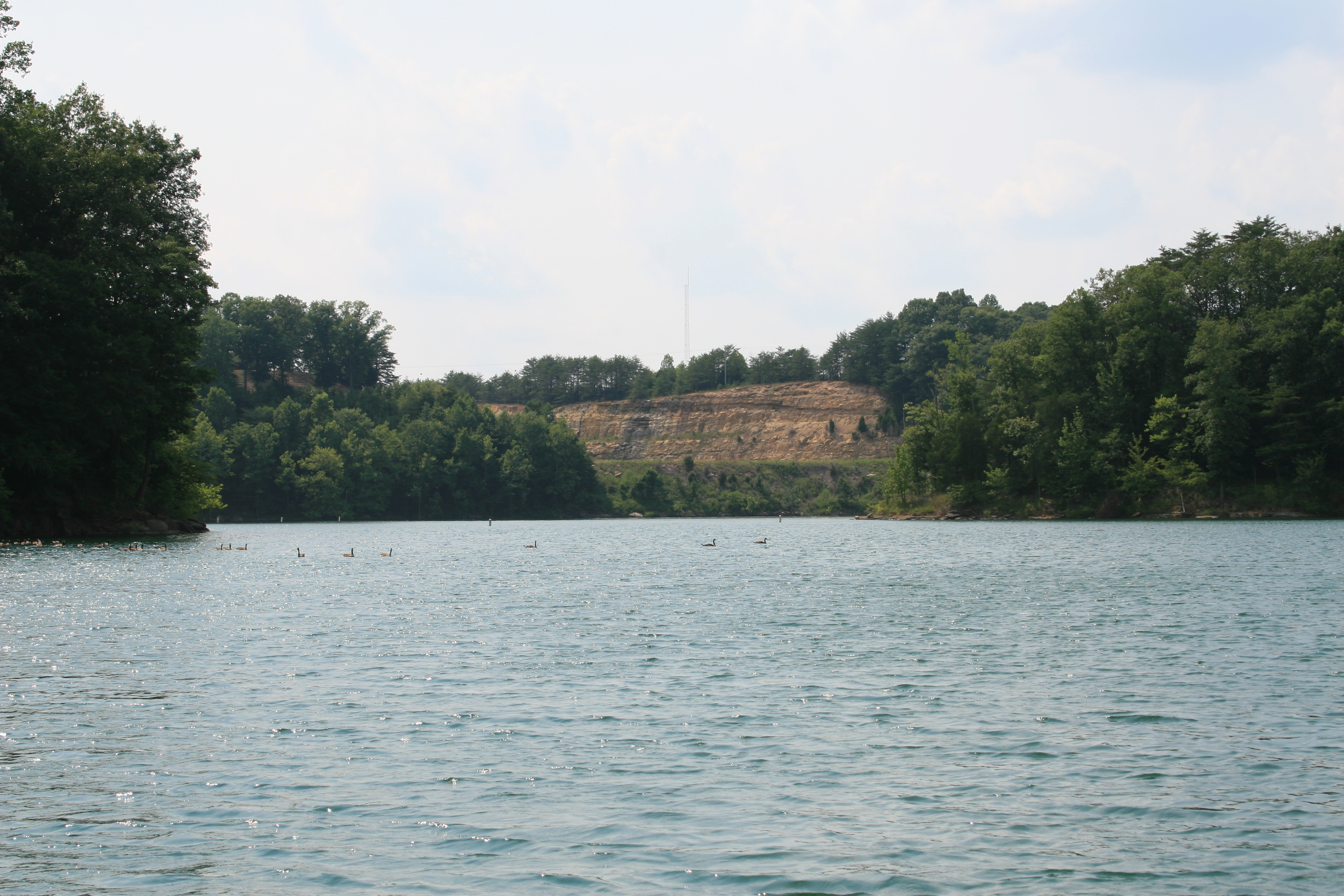
Nolin Lake in Kentucky
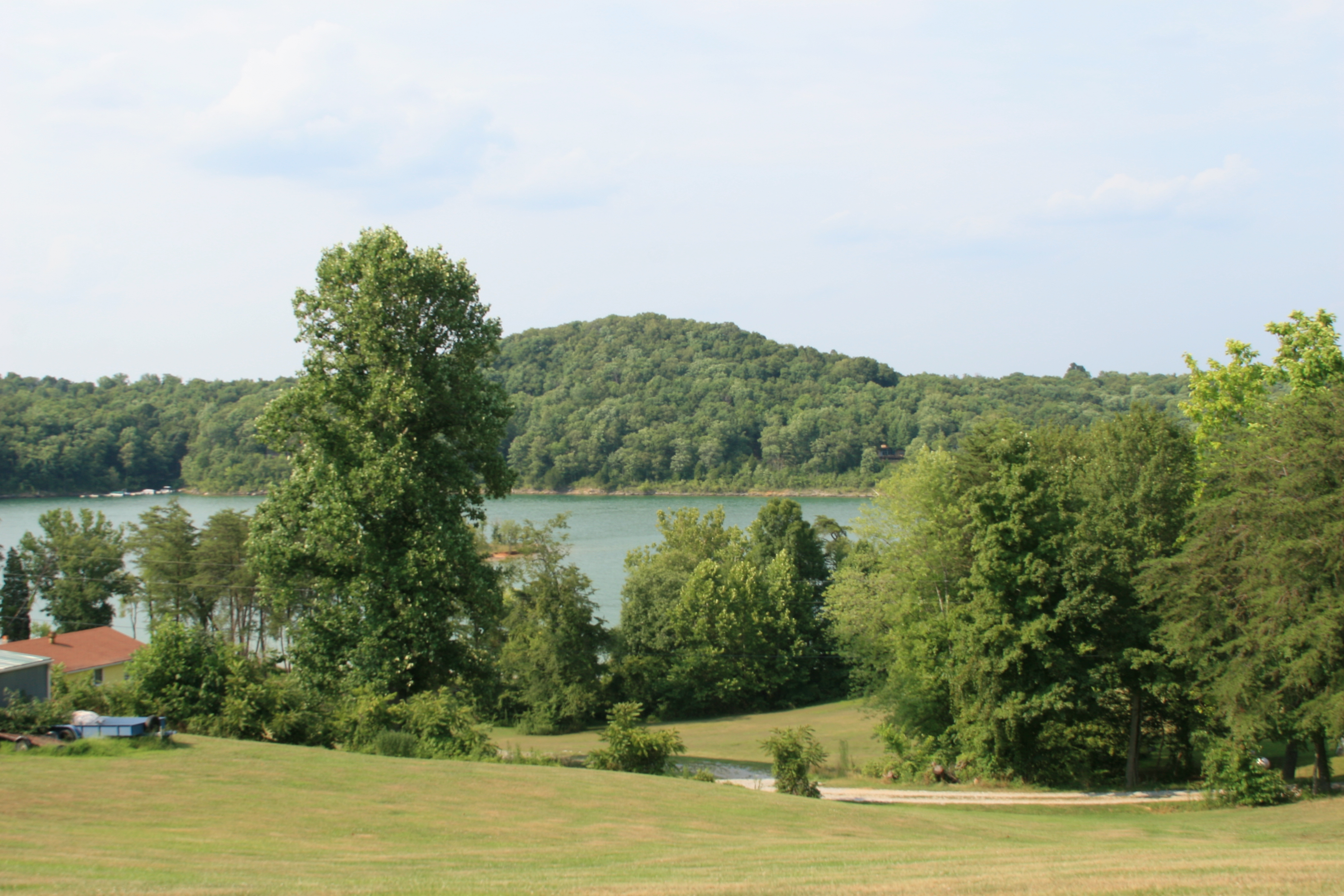
View of Nolin Lake
View from the other direction
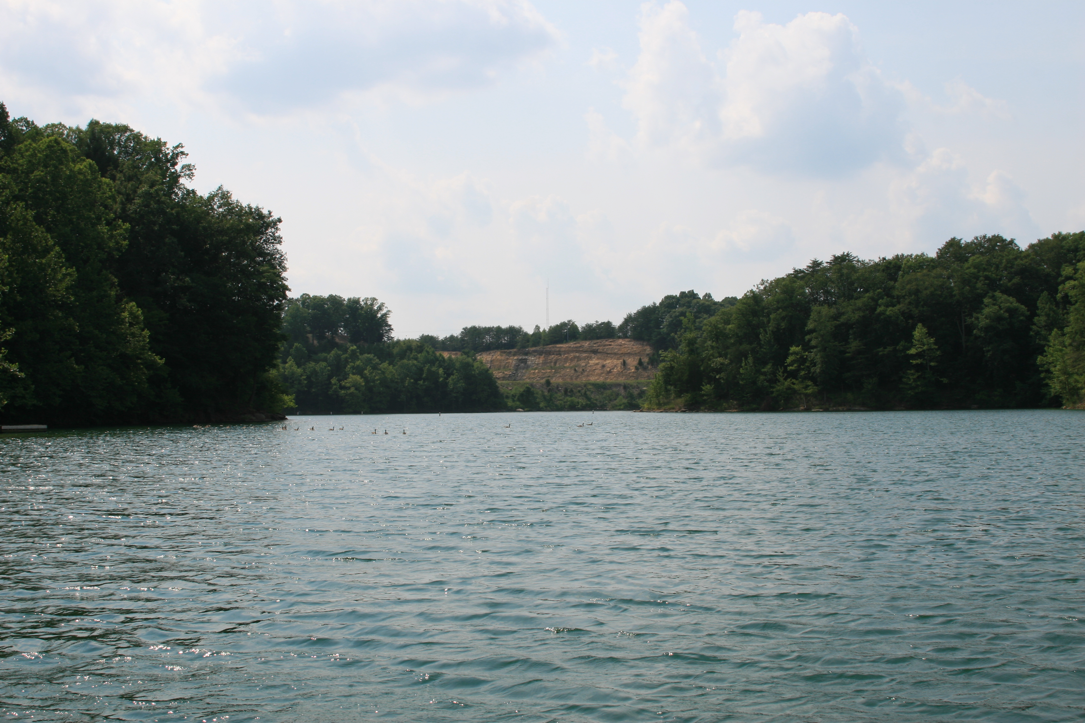
View out of the cove by the dam on Nolin Lake
View out of the cove at the dam on Nolin Lake
Dock at Rental House - Nolin Lake
View of Nolin Lake
Giant's Coffin
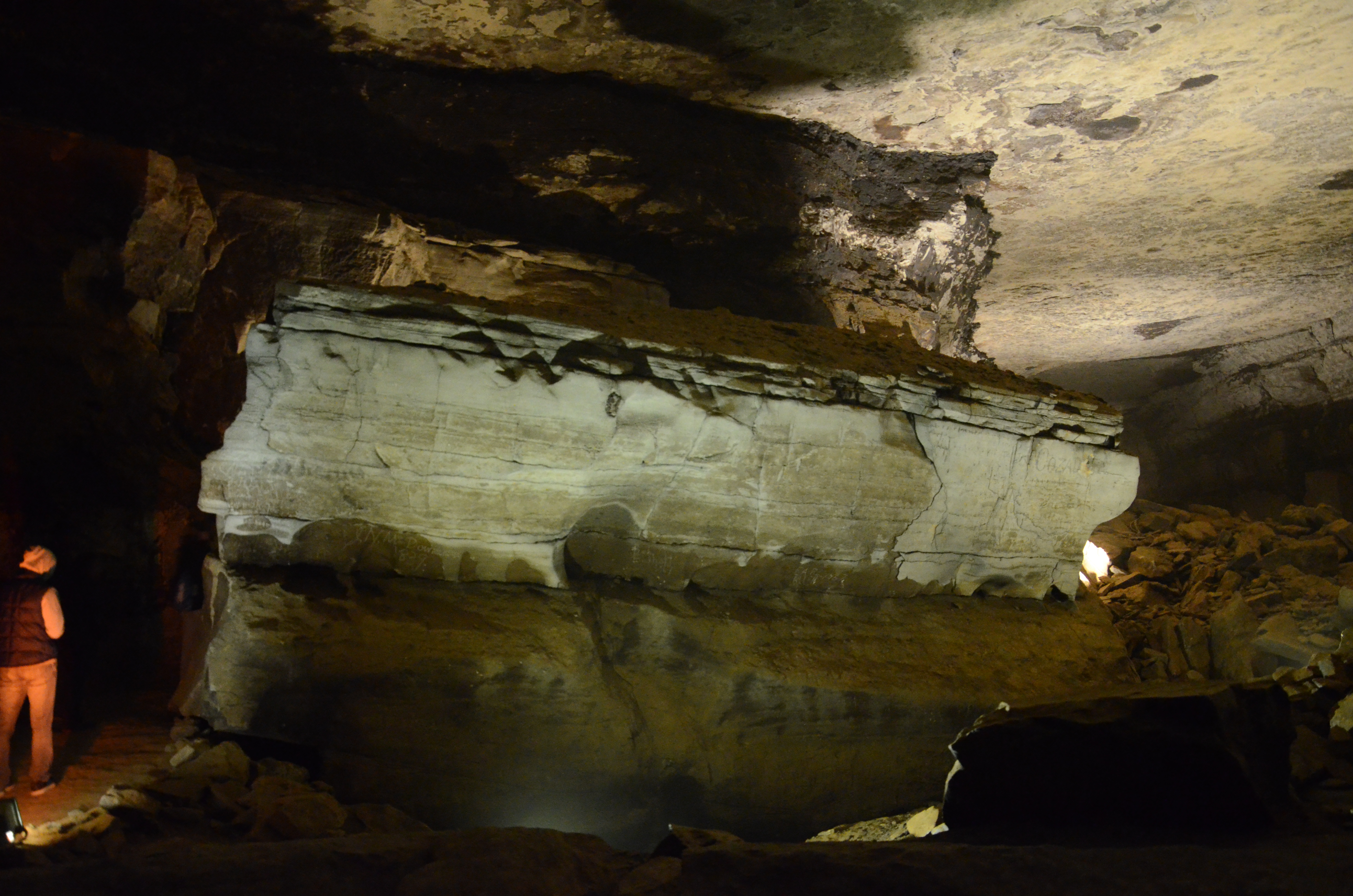
Giant's Coffin
View from rental house

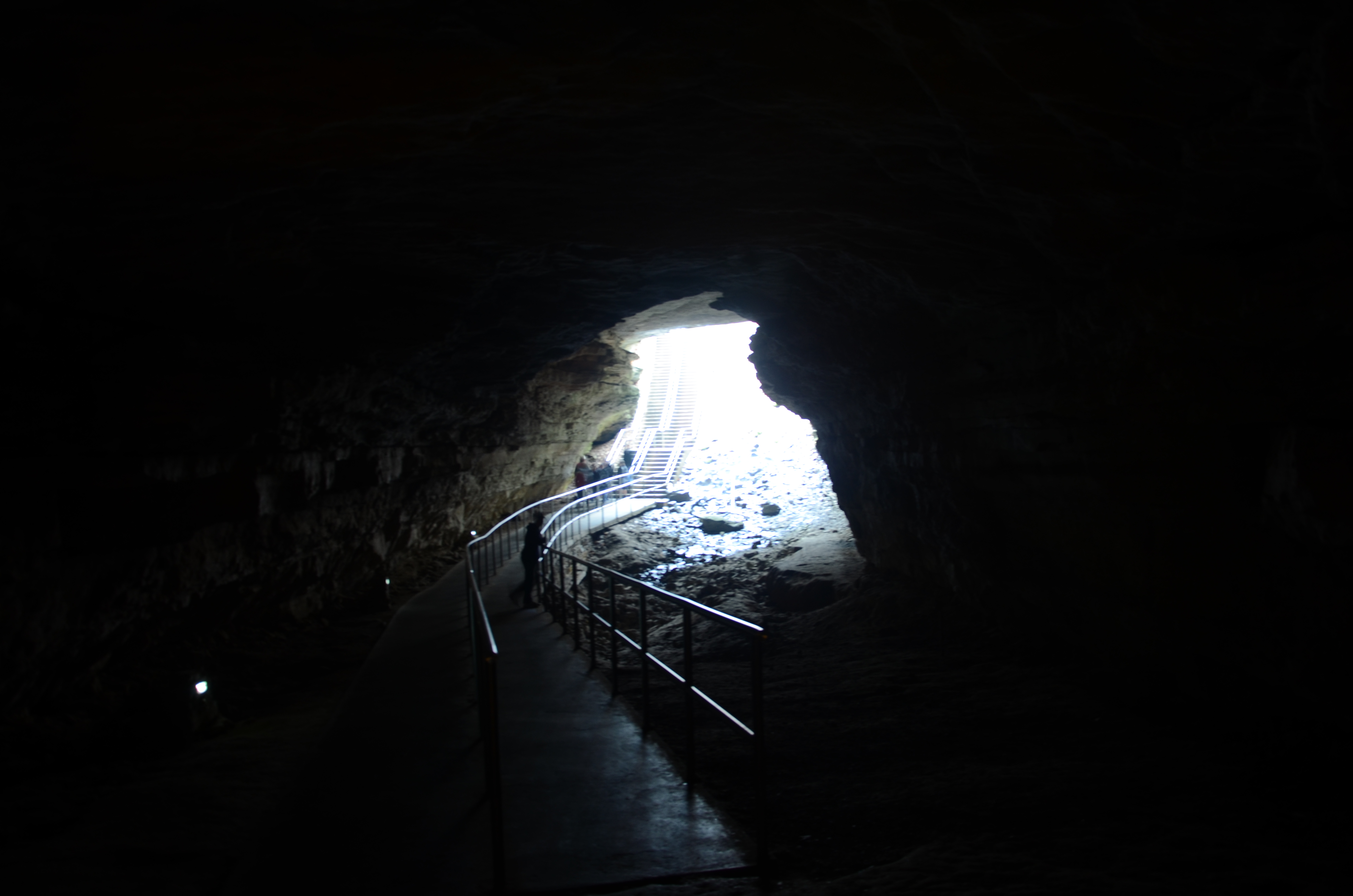
Mammoth cave walkway
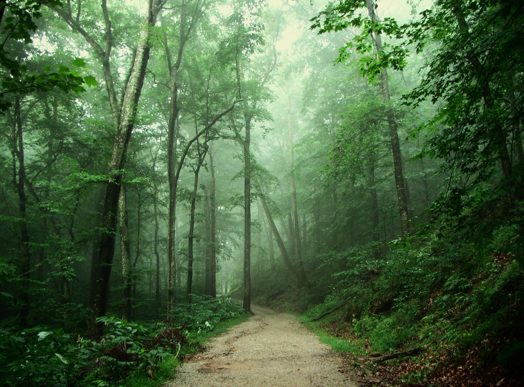
Whispering Forest
MW's from Years Past
Winter Color at Mammoth Cave National Park
Mammoth Cave National Park - January 4, 2014

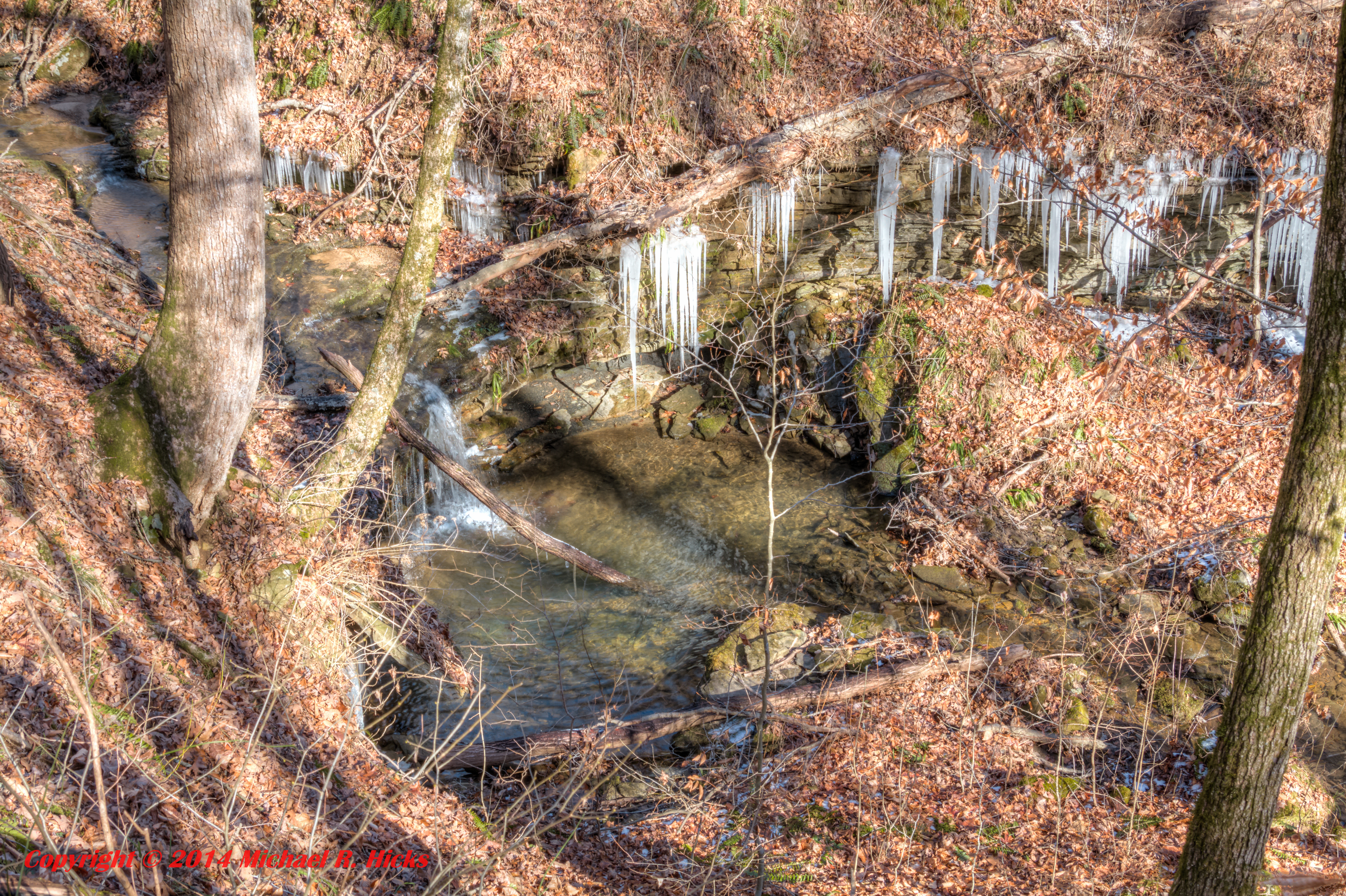
Flooded Trail.
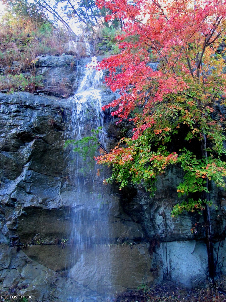
Falls.
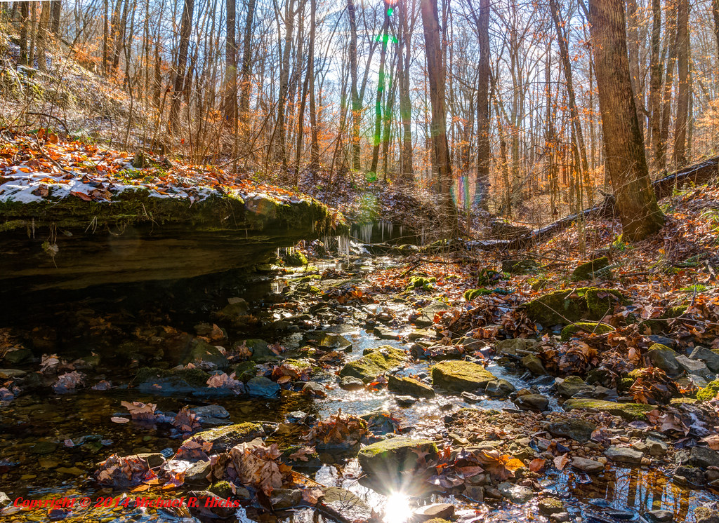
Mammoth Cave National Park - January 4, 2014
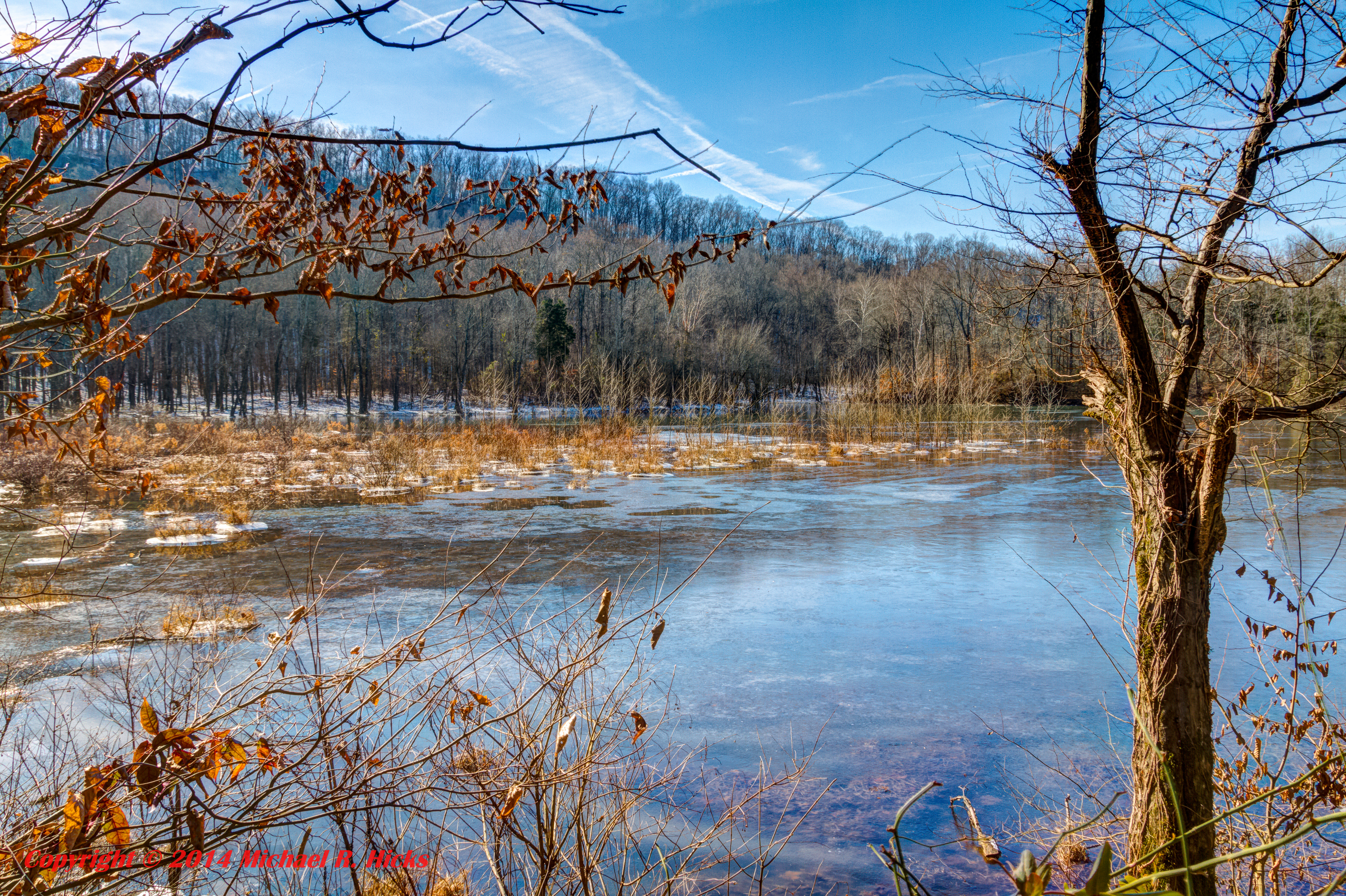
Mammoth Cave National Park - January 4, 2014
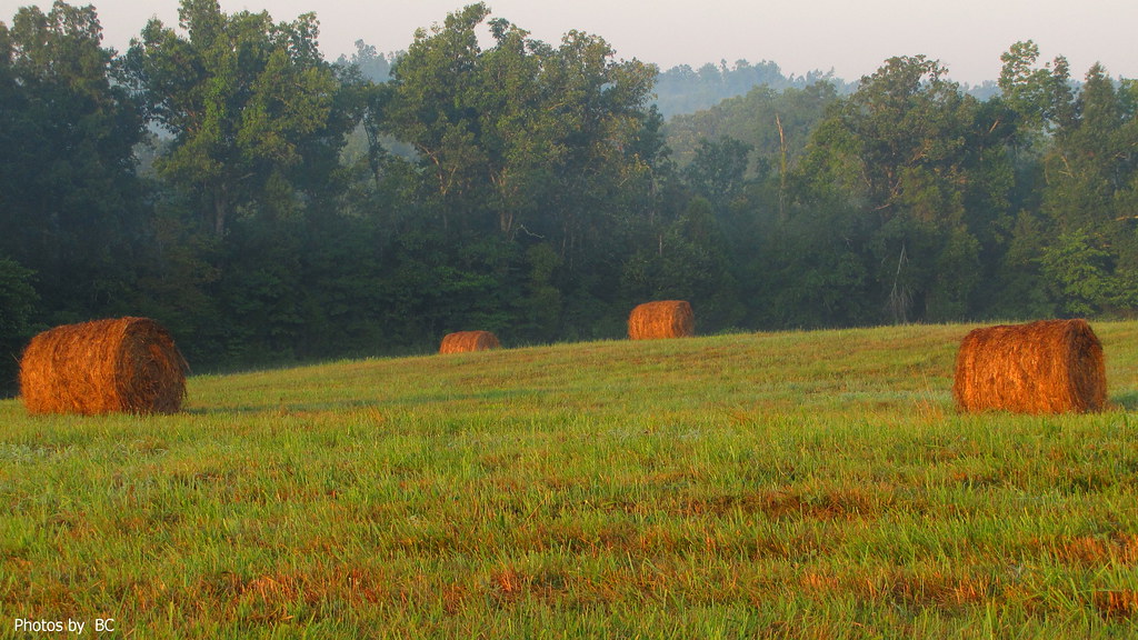
Hay Field In The Morning Light..
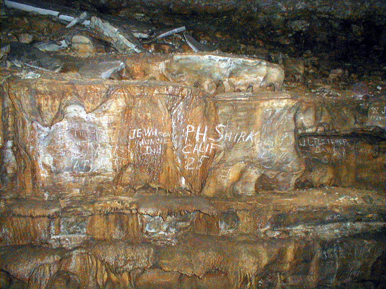
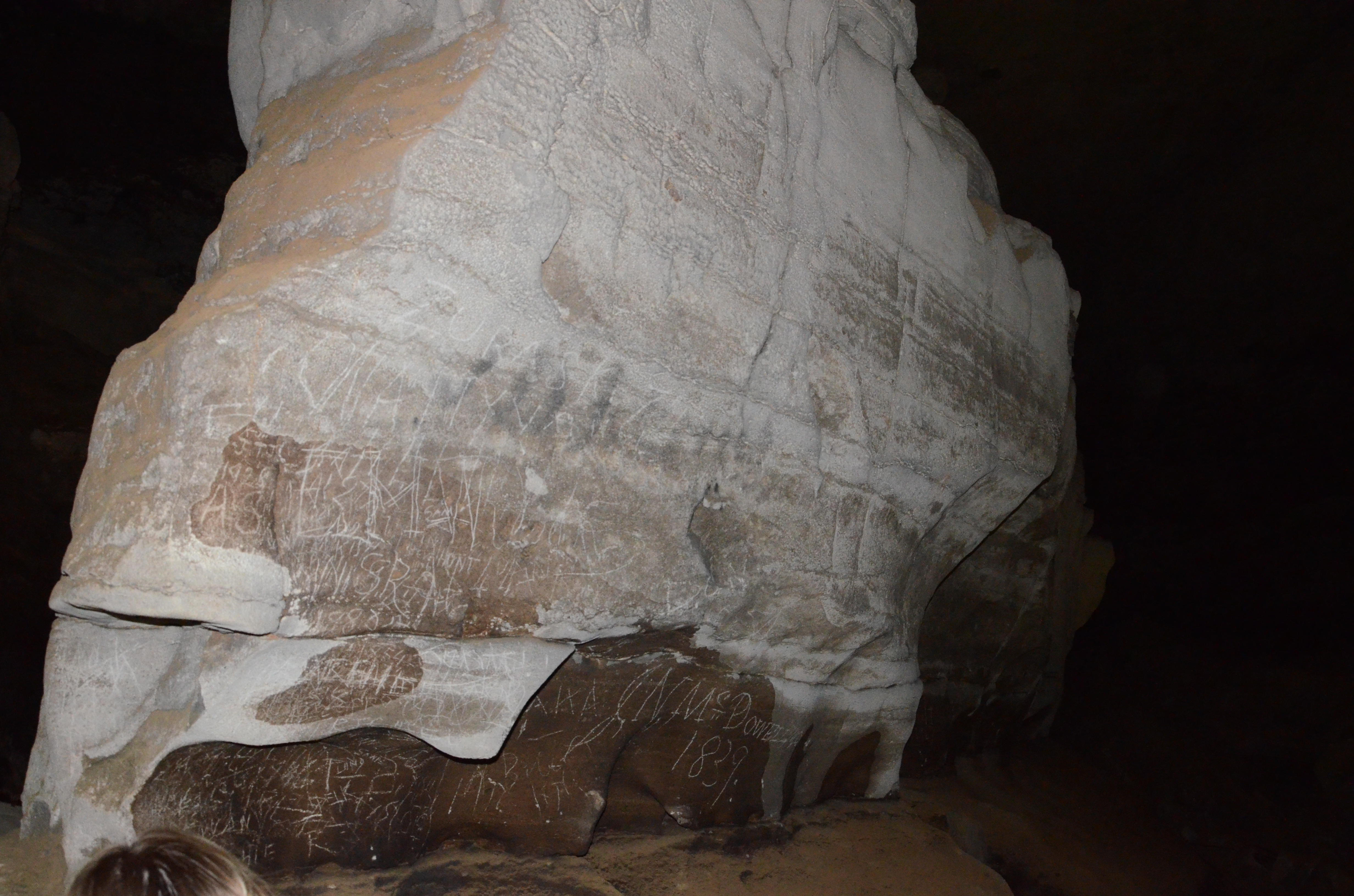
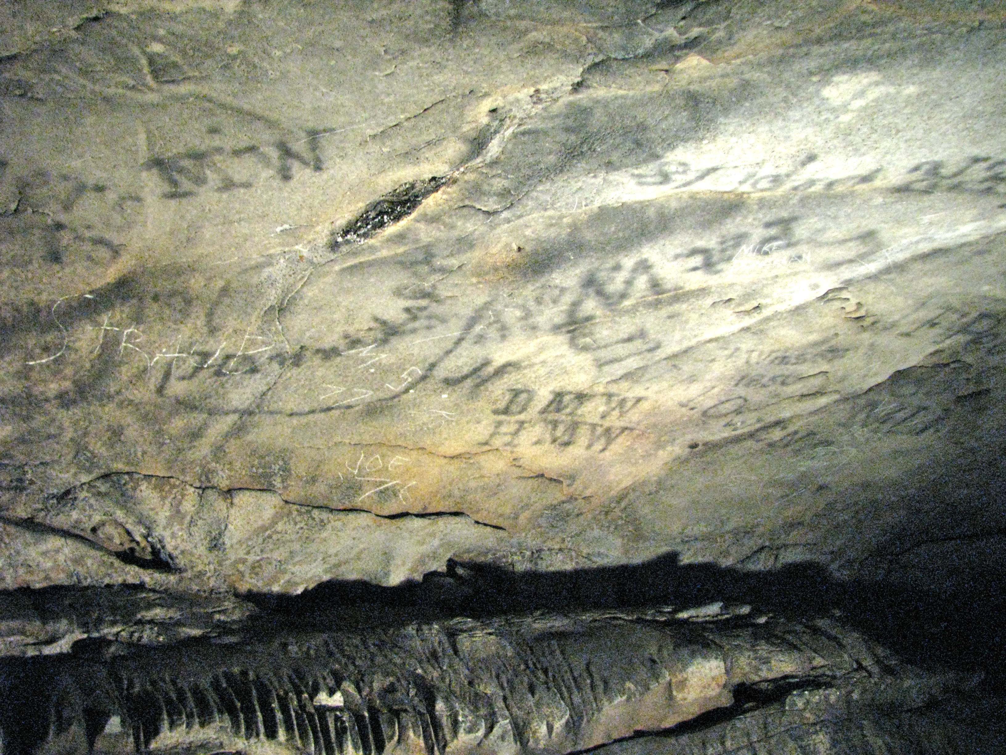
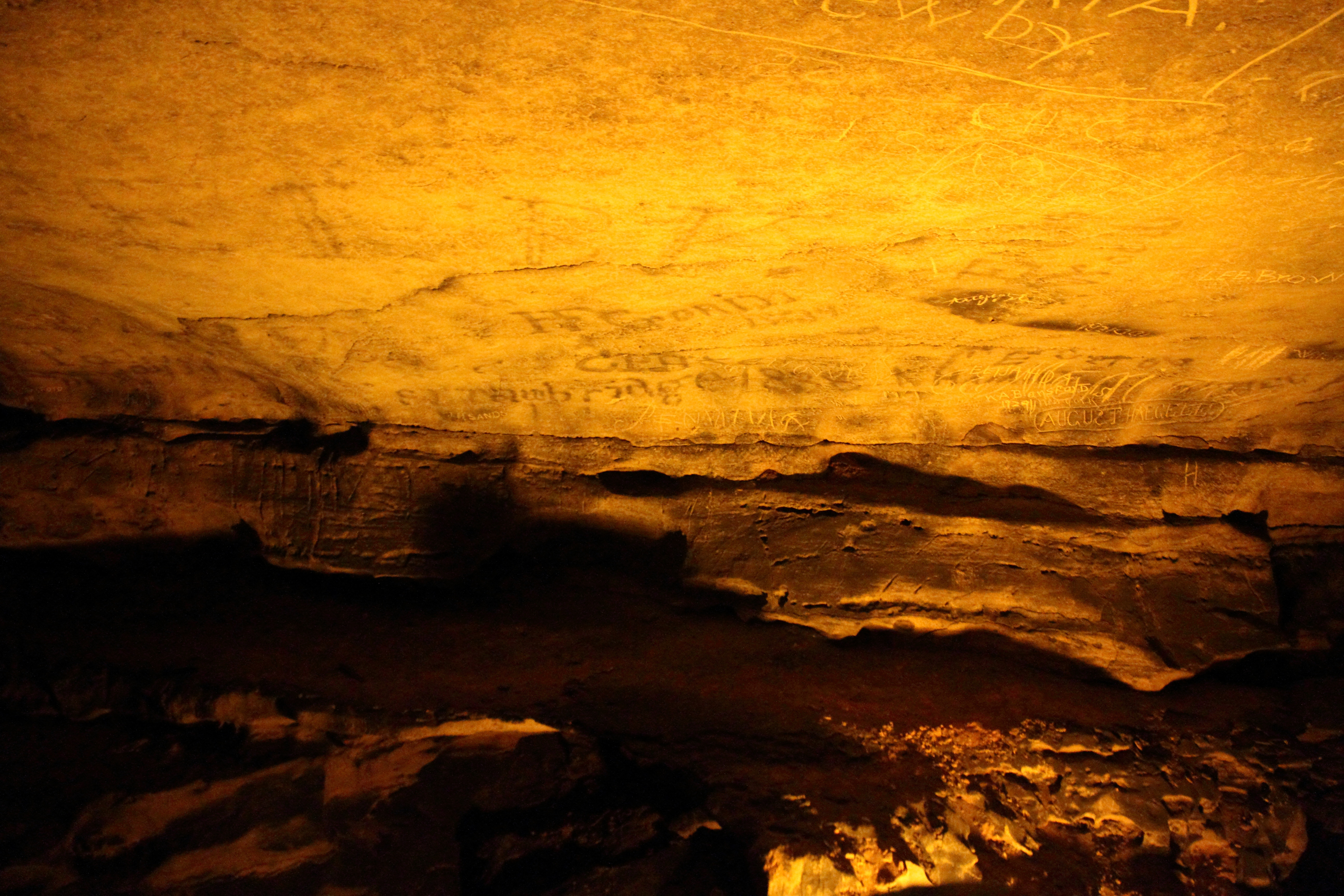
Cave graffiti
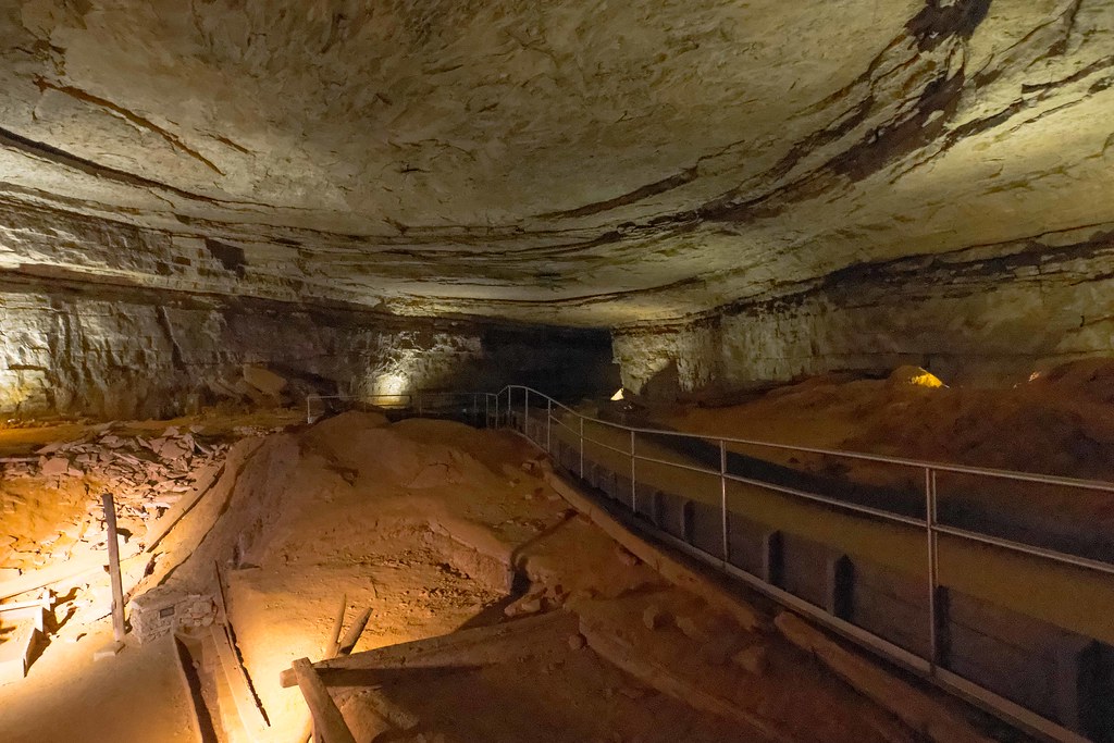
Mammoth Cave National Park
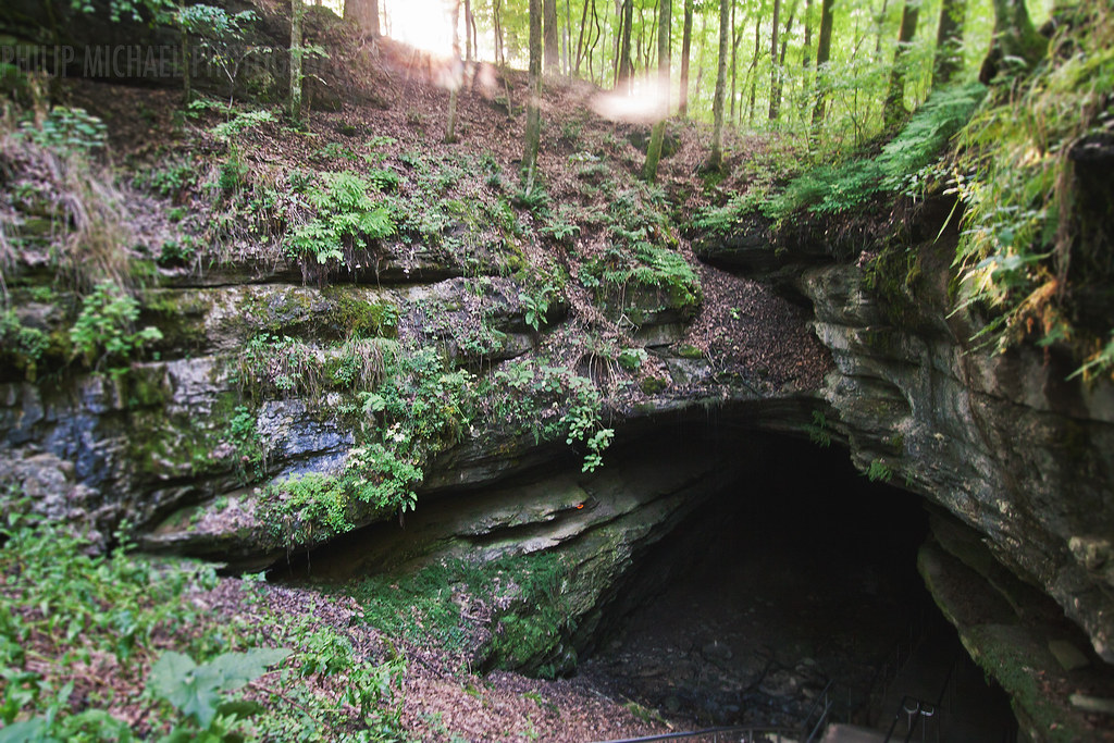
Historic Entrance
Mammoth Cave
A Perfect Day at Nolin Lake
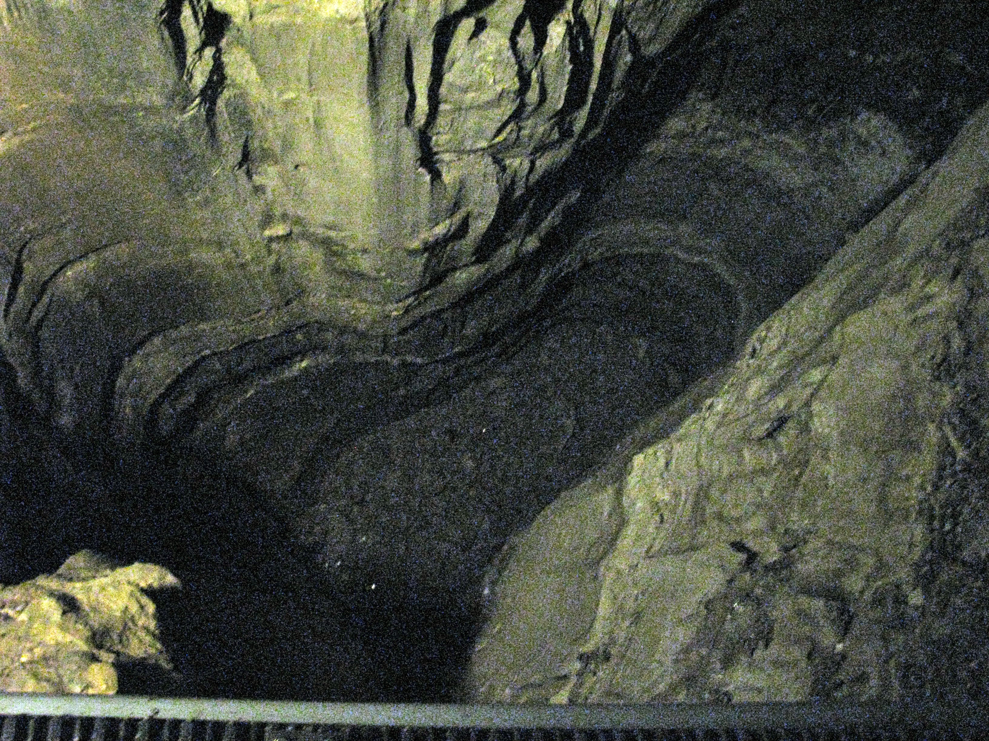
Sidesaddle Pit
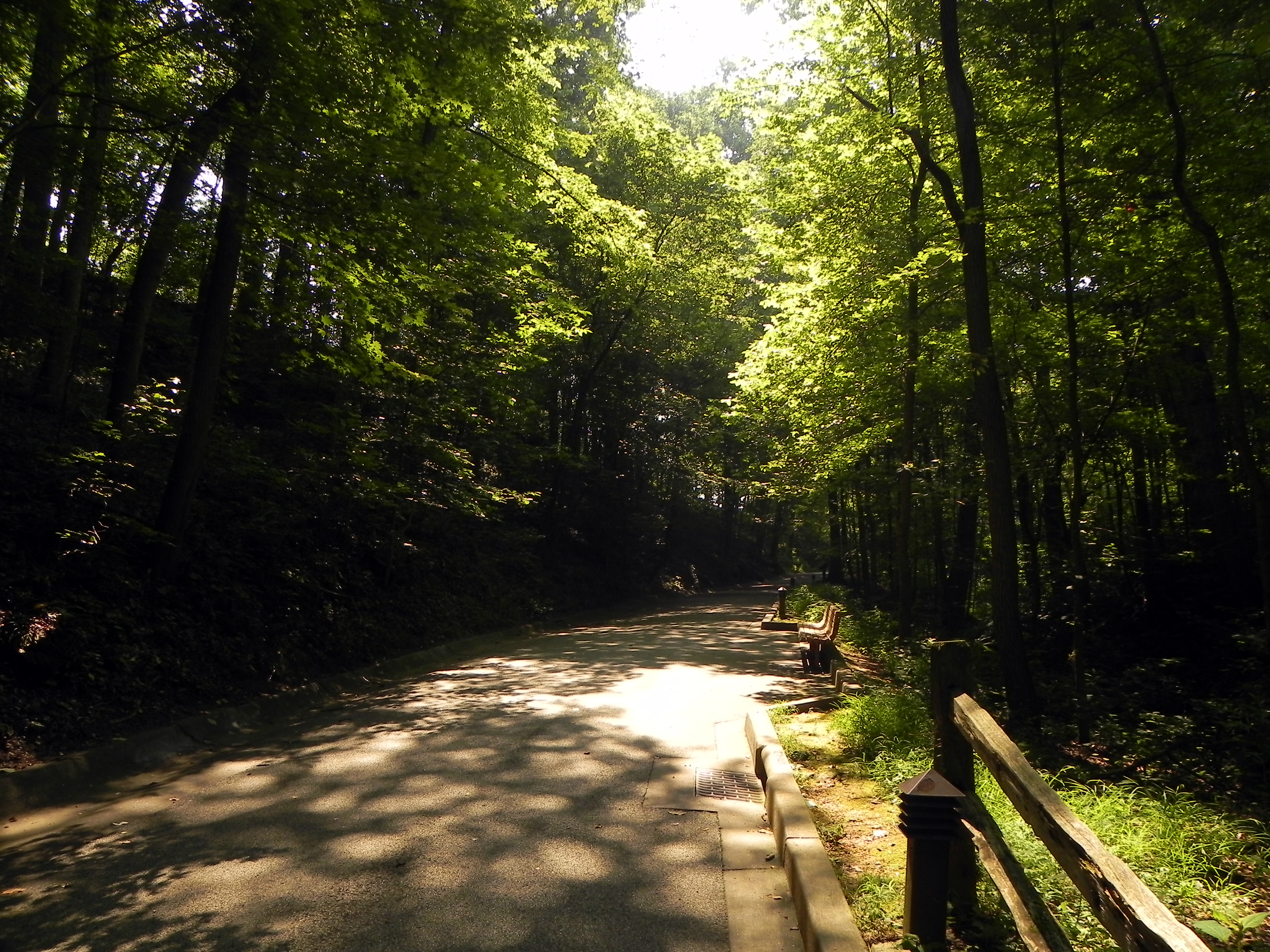
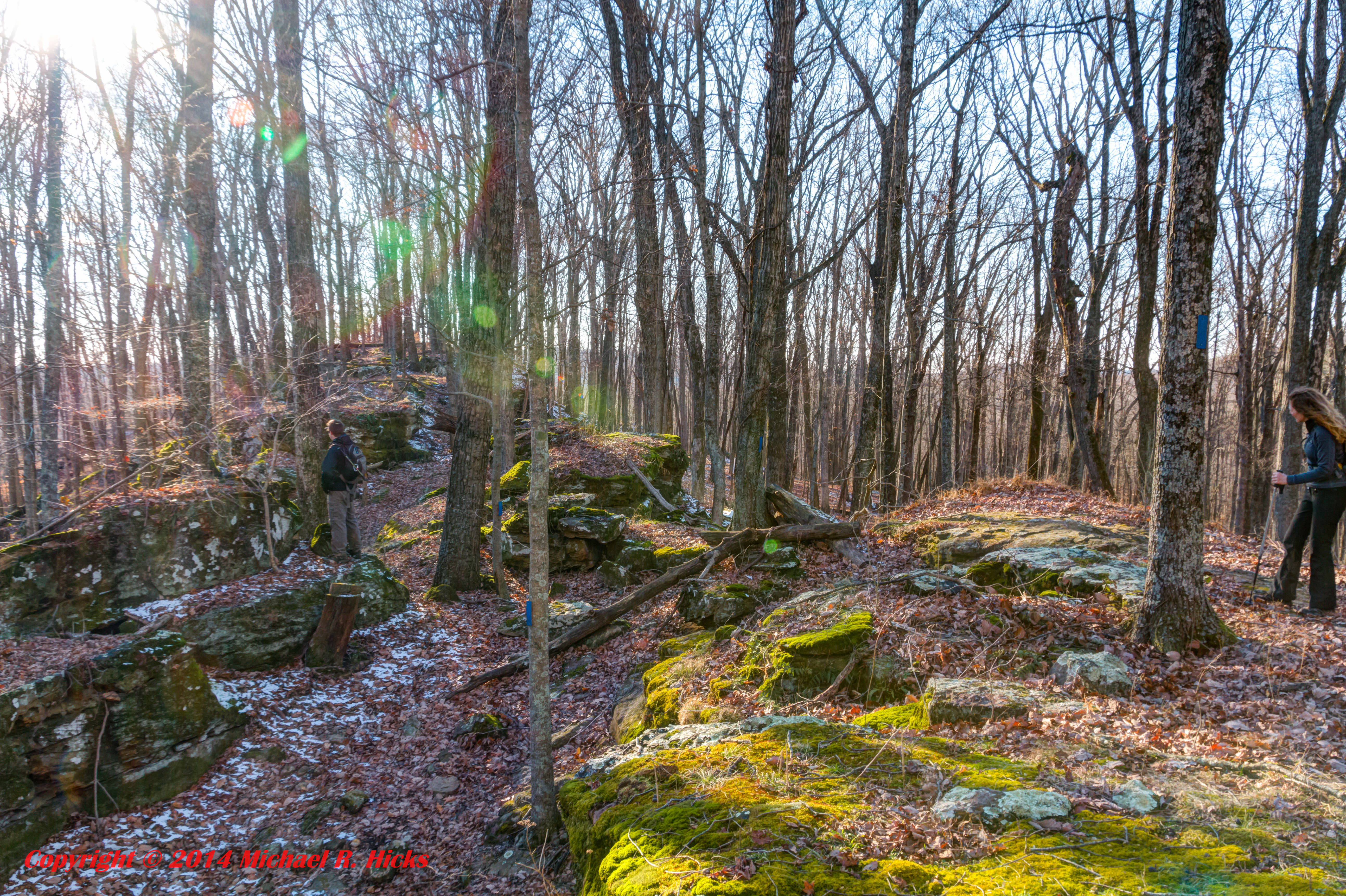
Dark Forest
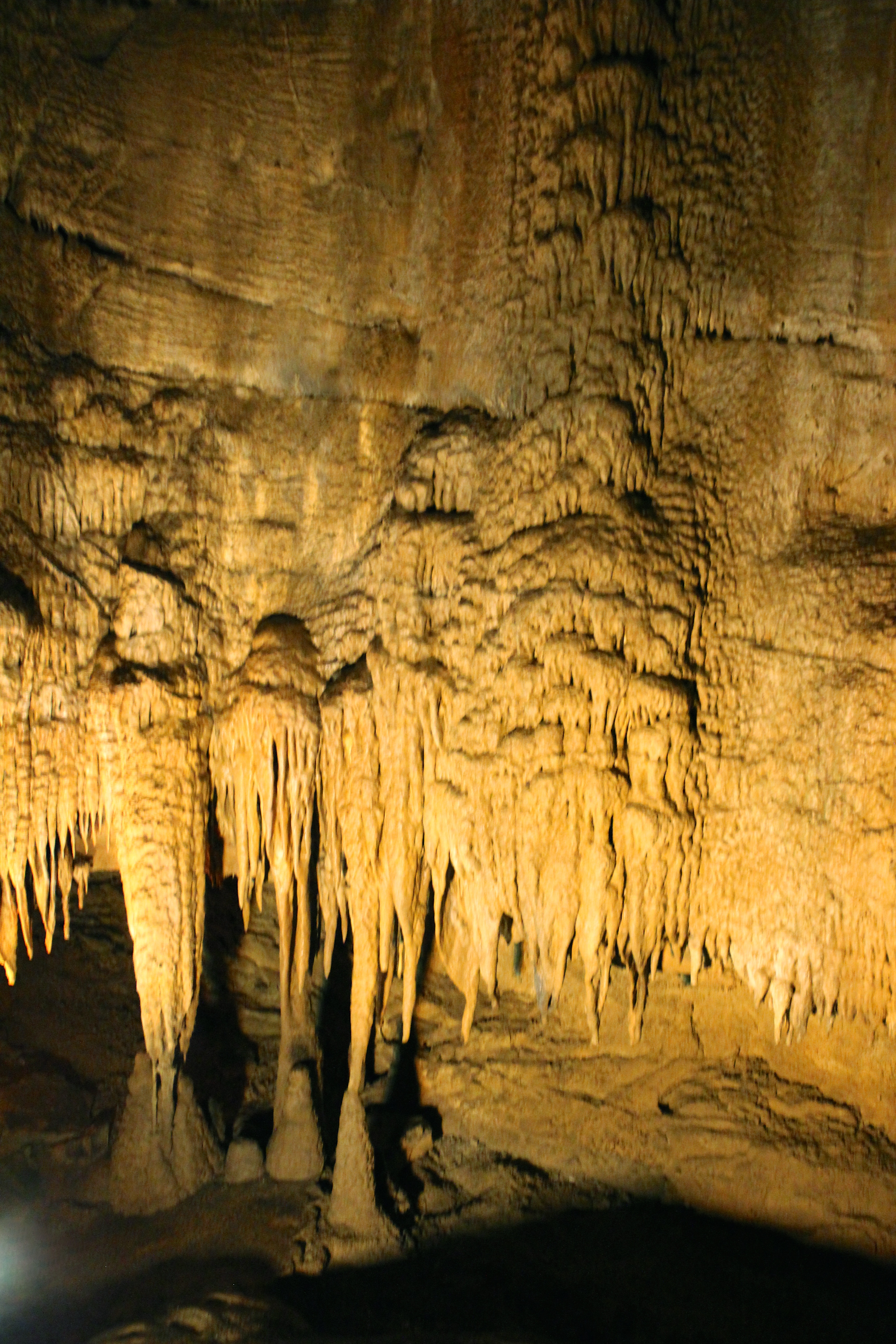
Domes and Dripstones Tour
Mammoth Cave
Mammoth Cave
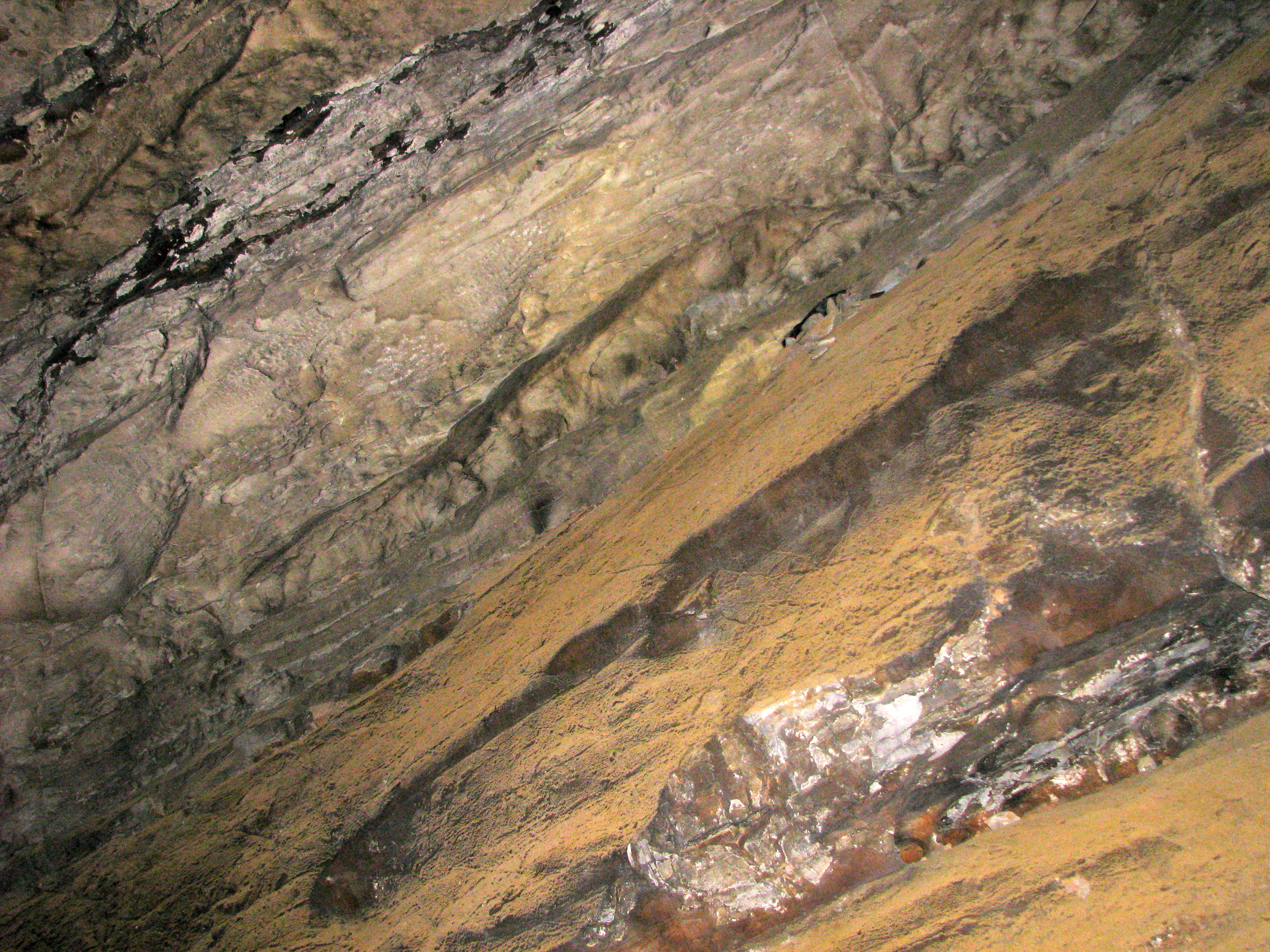
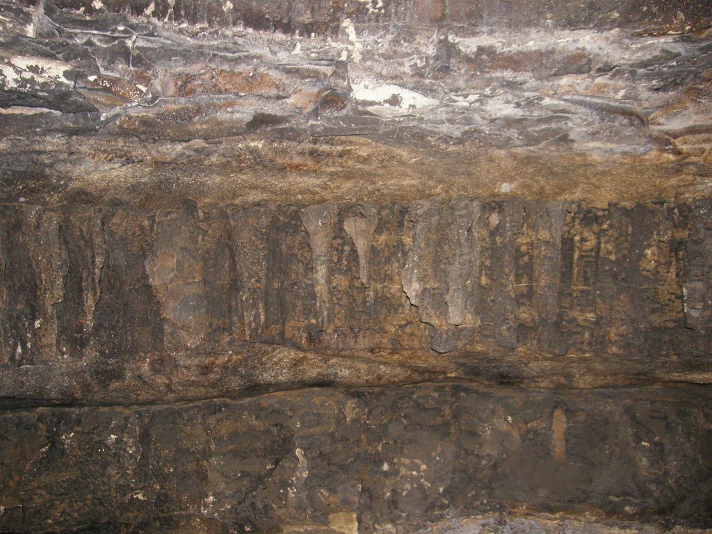
Layers of History
Topographic Map of Cub Run Hwy, Cub Run, KY, USA
Find elevation by address:

Places near Cub Run Hwy, Cub Run, KY, USA:
Cub Run
Cub Run Hwy, Cub Run, KY, USA
Dog Creek Road
20 Charles Jaggers Rd
555 Fields Ln
Millerstown Rd, Clarkson, KY, USA
Mammoth Cave National Park
Mammoth Cave
Beaver Dam Chapel Rd, Mammoth Cave, KY, USA
Raider Hollow Rd, Upton, KY, USA
Grayson Springs Rd, Clarkson, KY, USA
95 Lone Star Tower Rd
Edmonson County
781 Raider Hollow Rd
3075 Shaw Creek Rd
3069 Shaw Creek Rd
2921 Shaw Creek Rd
572 C Scott Rd
Bee Spring
Old Kyrock Rd, Sweeden, KY, USA
Recent Searches:
- Elevation of Lampiasi St, Sarasota, FL, USA
- Elevation of Elwyn Dr, Roanoke Rapids, NC, USA
- Elevation of Congressional Dr, Stevensville, MD, USA
- Elevation of Bellview Rd, McLean, VA, USA
- Elevation of Stage Island Rd, Chatham, MA, USA
- Elevation of Shibuya Scramble Crossing, 21 Udagawacho, Shibuya City, Tokyo -, Japan
- Elevation of Jadagoniai, Kaunas District Municipality, Lithuania
- Elevation of Pagonija rock, Kranto 7-oji g. 8"N, Kaunas, Lithuania
- Elevation of Co Rd 87, Jamestown, CO, USA
- Elevation of Tenjo, Cundinamarca, Colombia