Elevation of Murrieltown Rd, Sonora, KY, USA
Location: United States > Kentucky > Hardin County > Sonora >
Longitude: -85.862950
Latitude: 37.5153316
Elevation: 236m / 774feet
Barometric Pressure: 99KPa
Elevation Map:
Satellite Map:
Related Photos:

CSXT K538, Sonora, KY
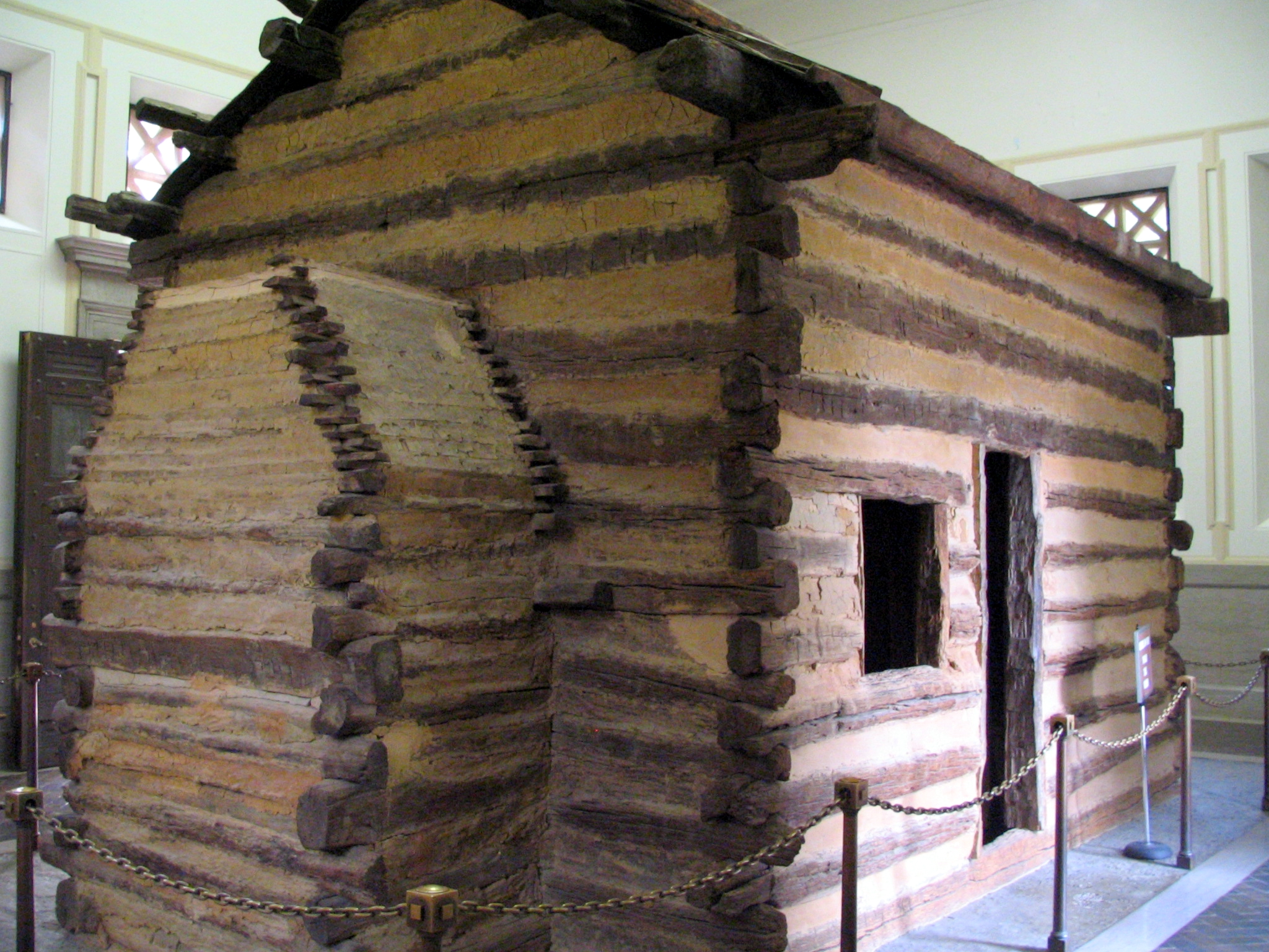
Abraham Lincoln's Birthplace
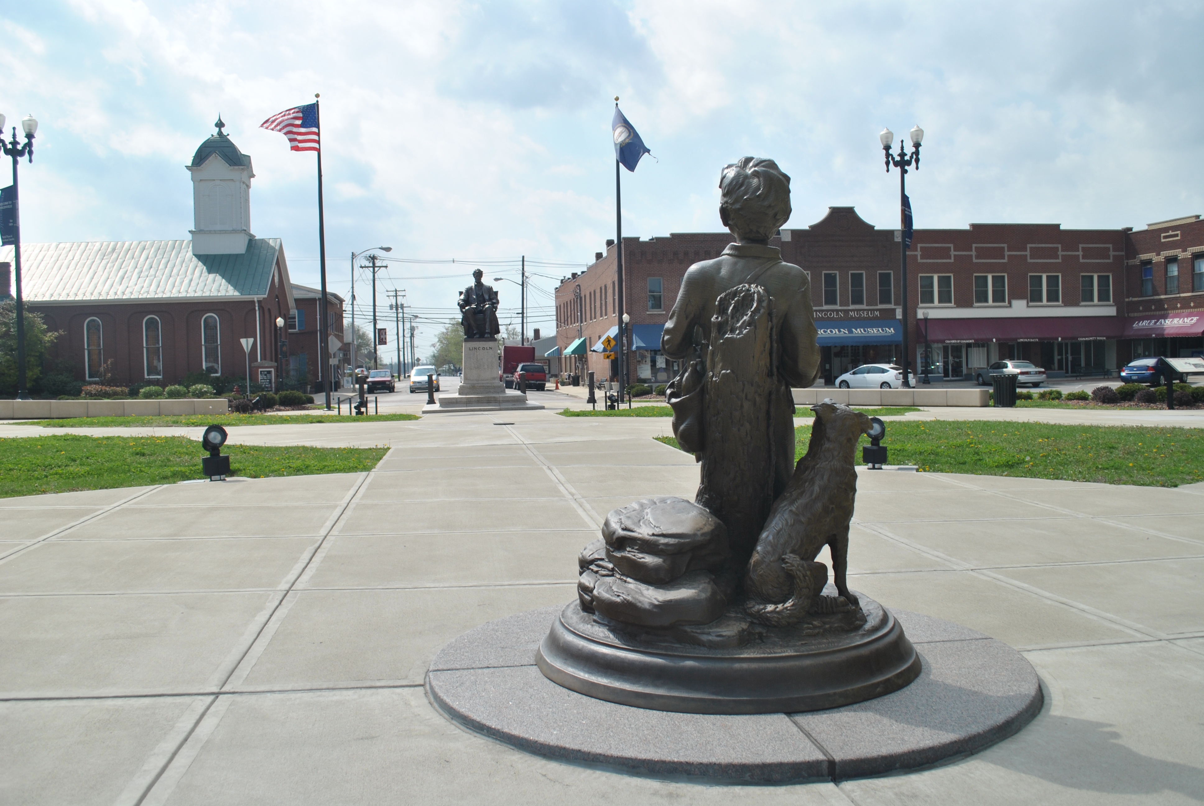
The Development of Abraham Lincoln
The Inside View
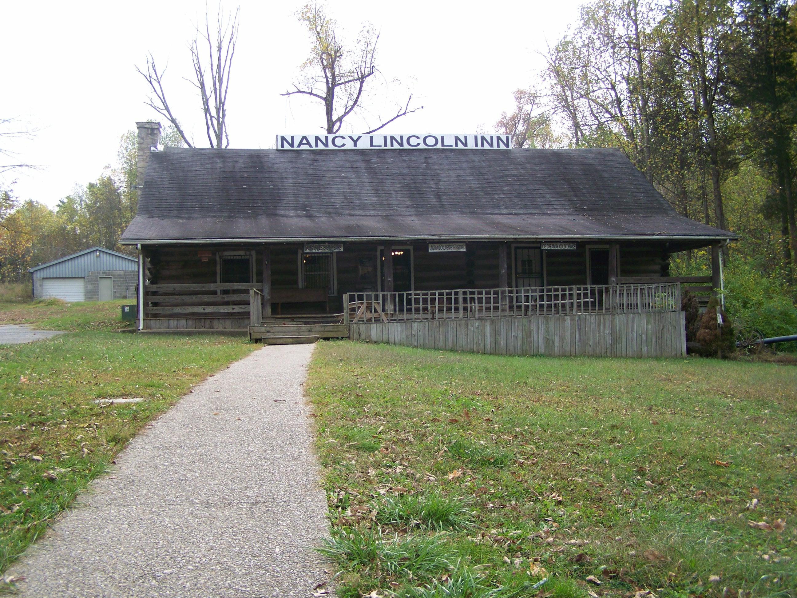
Nancy Lincoln Inn- Hodgenville KY (2)
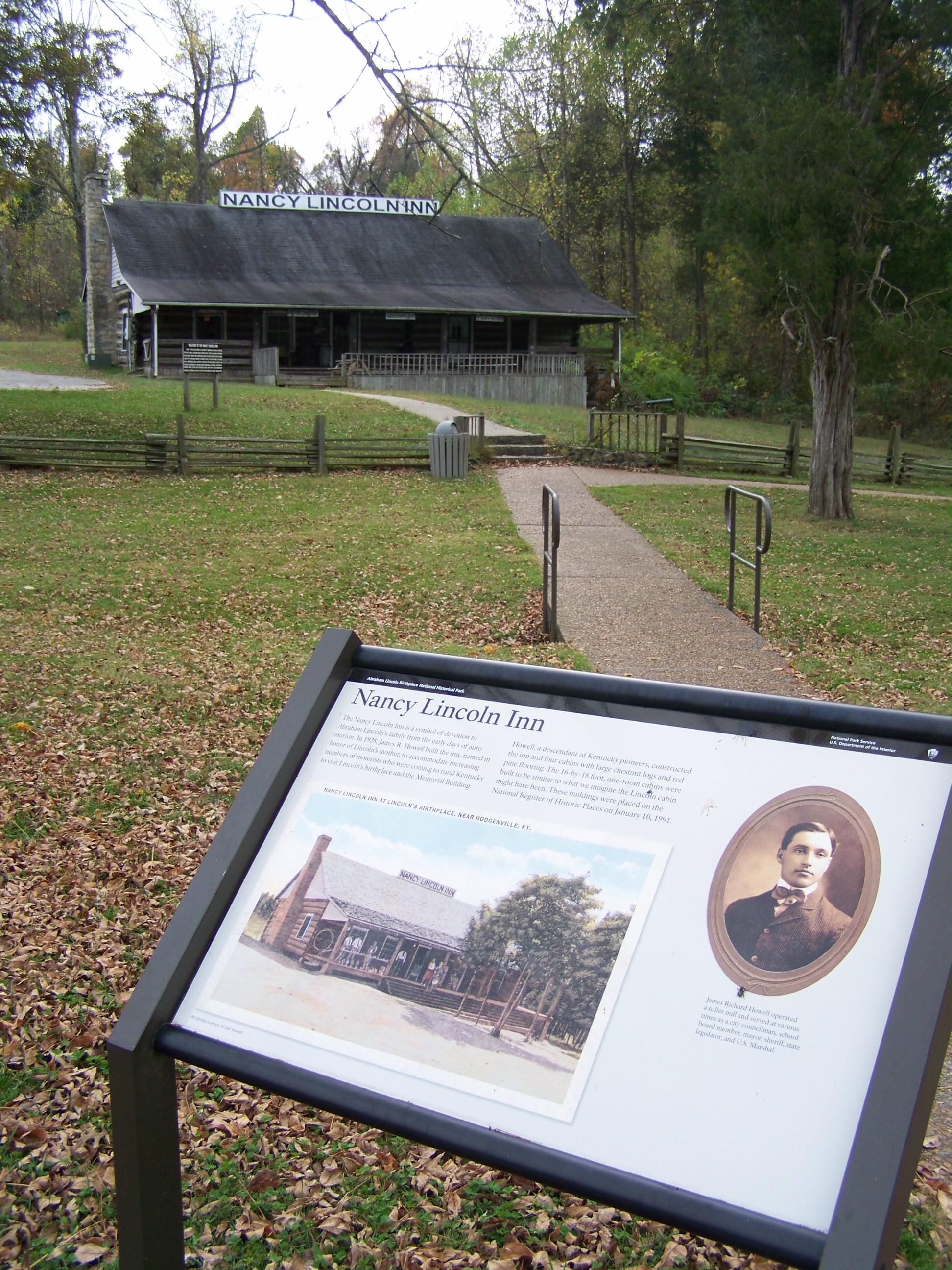
Nancy Lincoln Inn- Hodgenville KY (1)
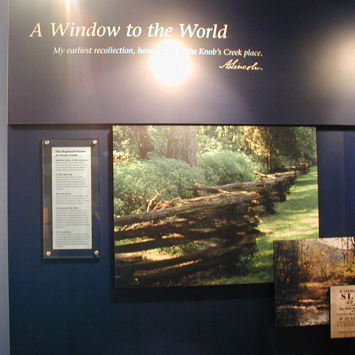
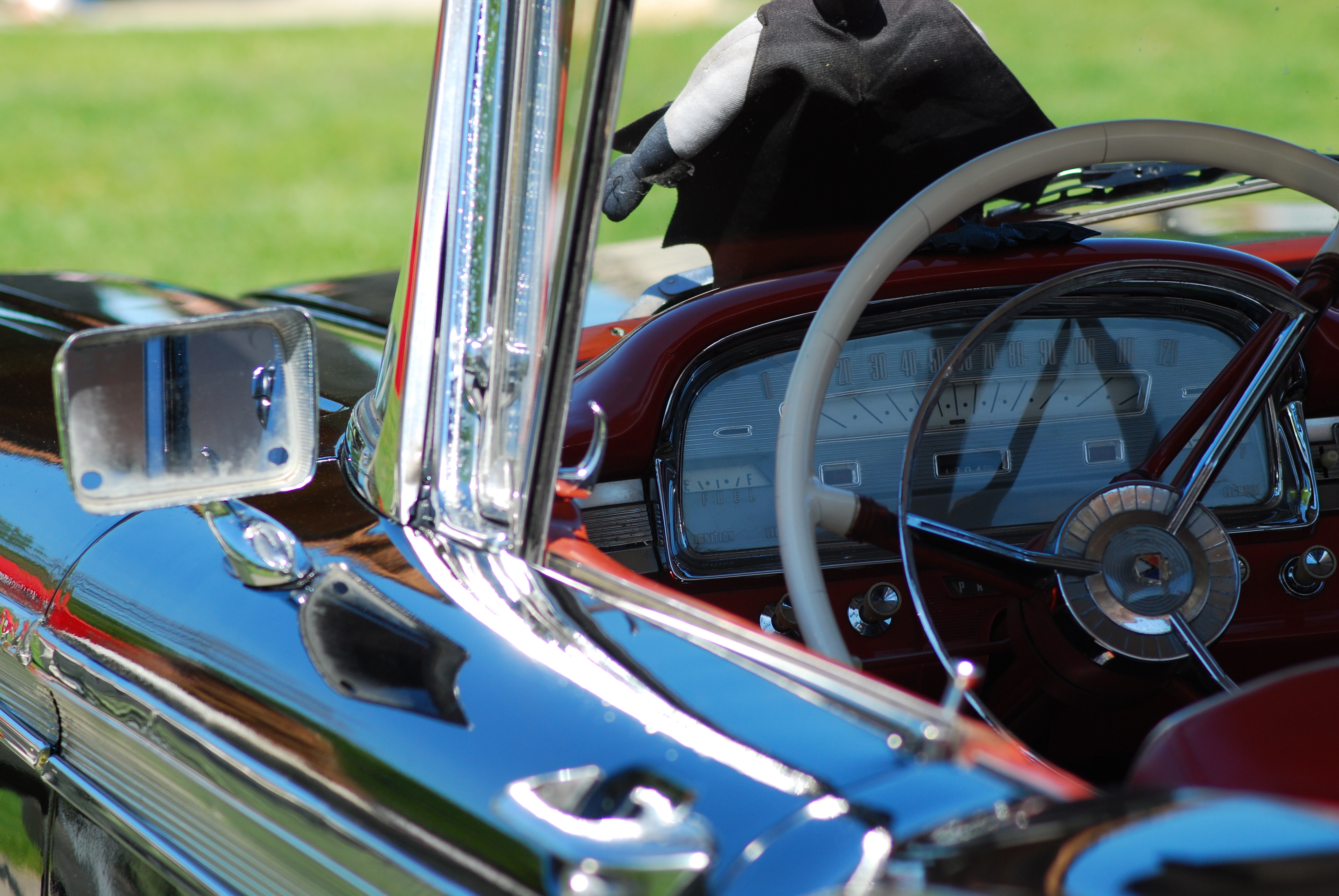
A Window to the World
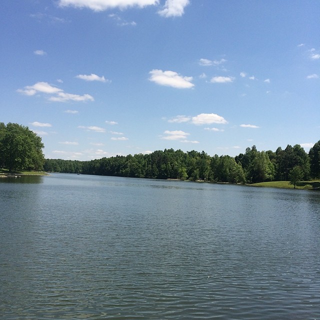
View of lake today!
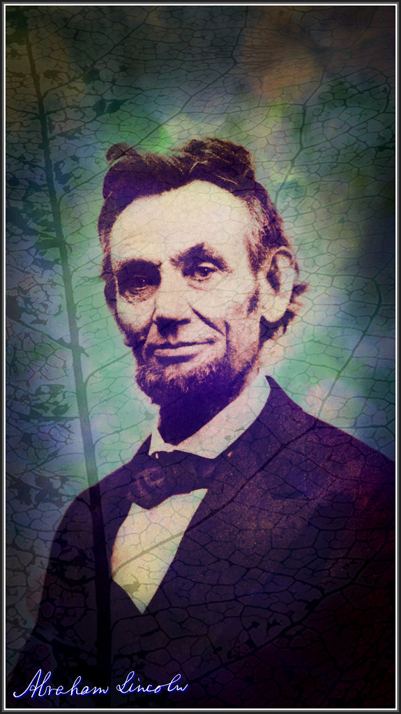
Abraham Lincoln 1865 TudioJepegii
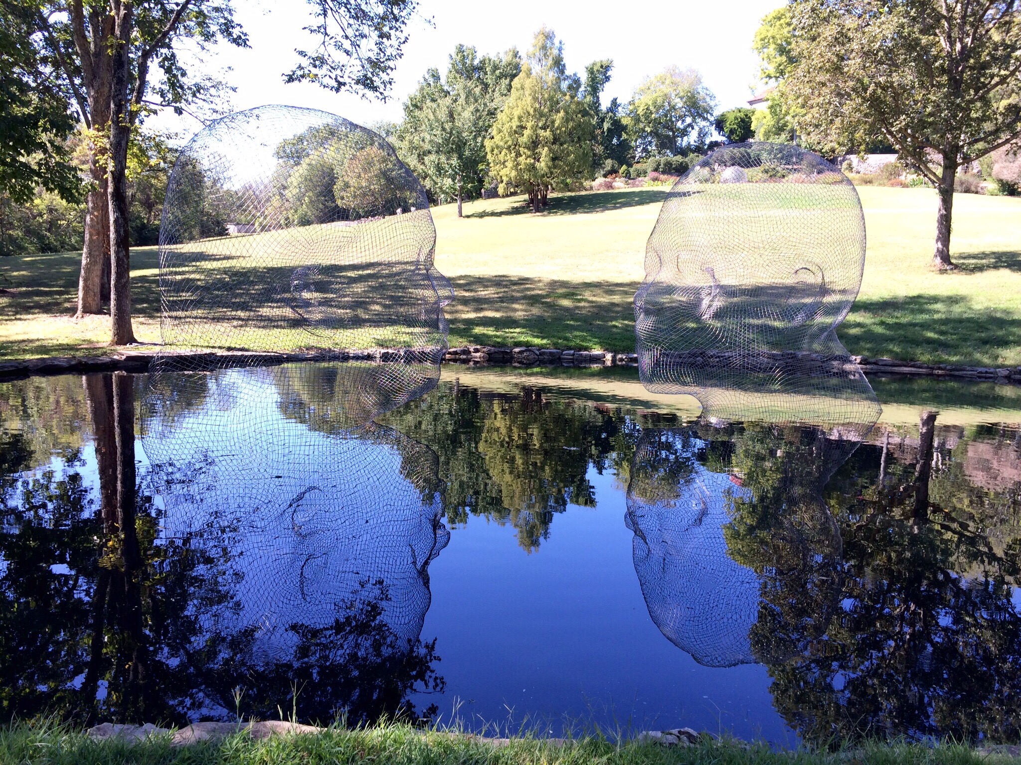
Two Giant Wire Frame Heads

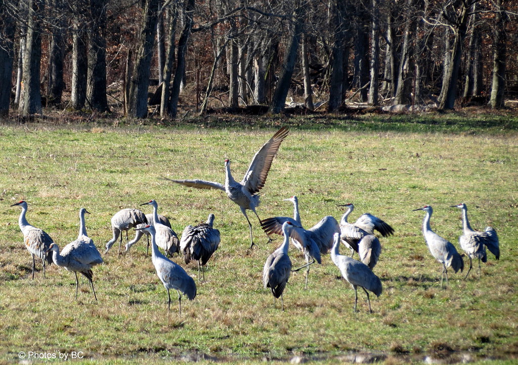
Noon, Kentucky
Glendale KY
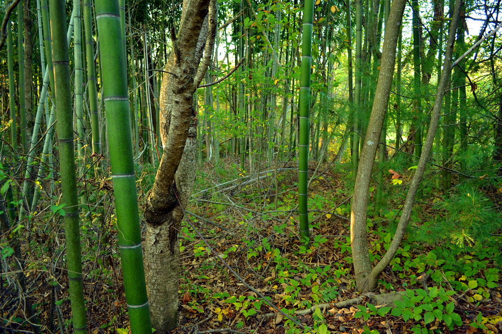
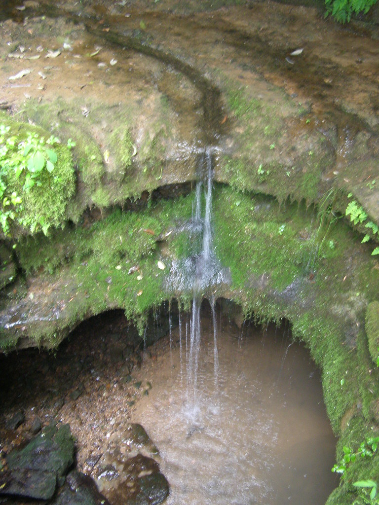
Modern Kentucky Forest
You'll Remember Me When the West Wind Moves

CSXT Q534, Glendale, KY
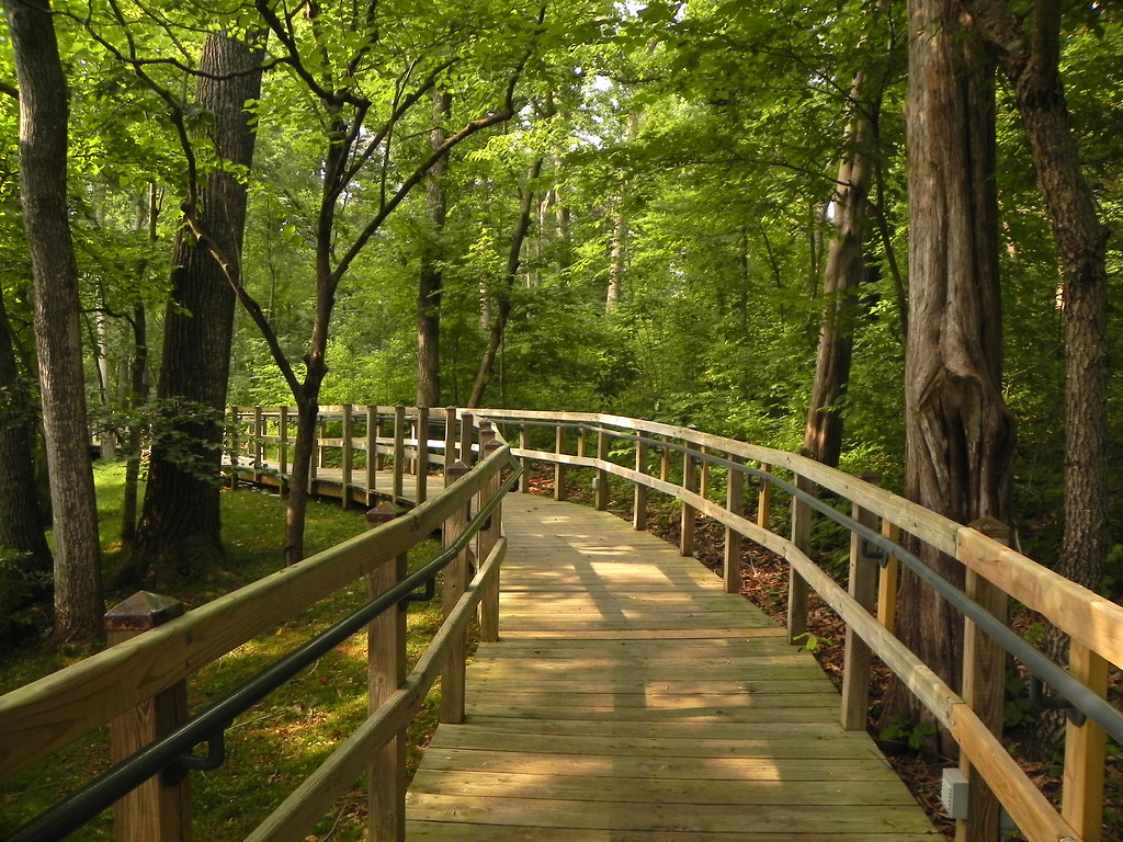
Another Boardwalk Trail
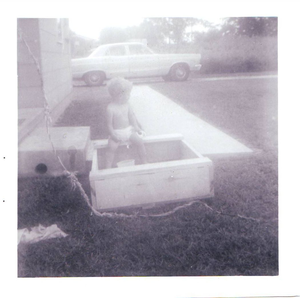
My Sandbox
Lincoln Birthplace NHP, Ky

Foggy Morning in Kentucky
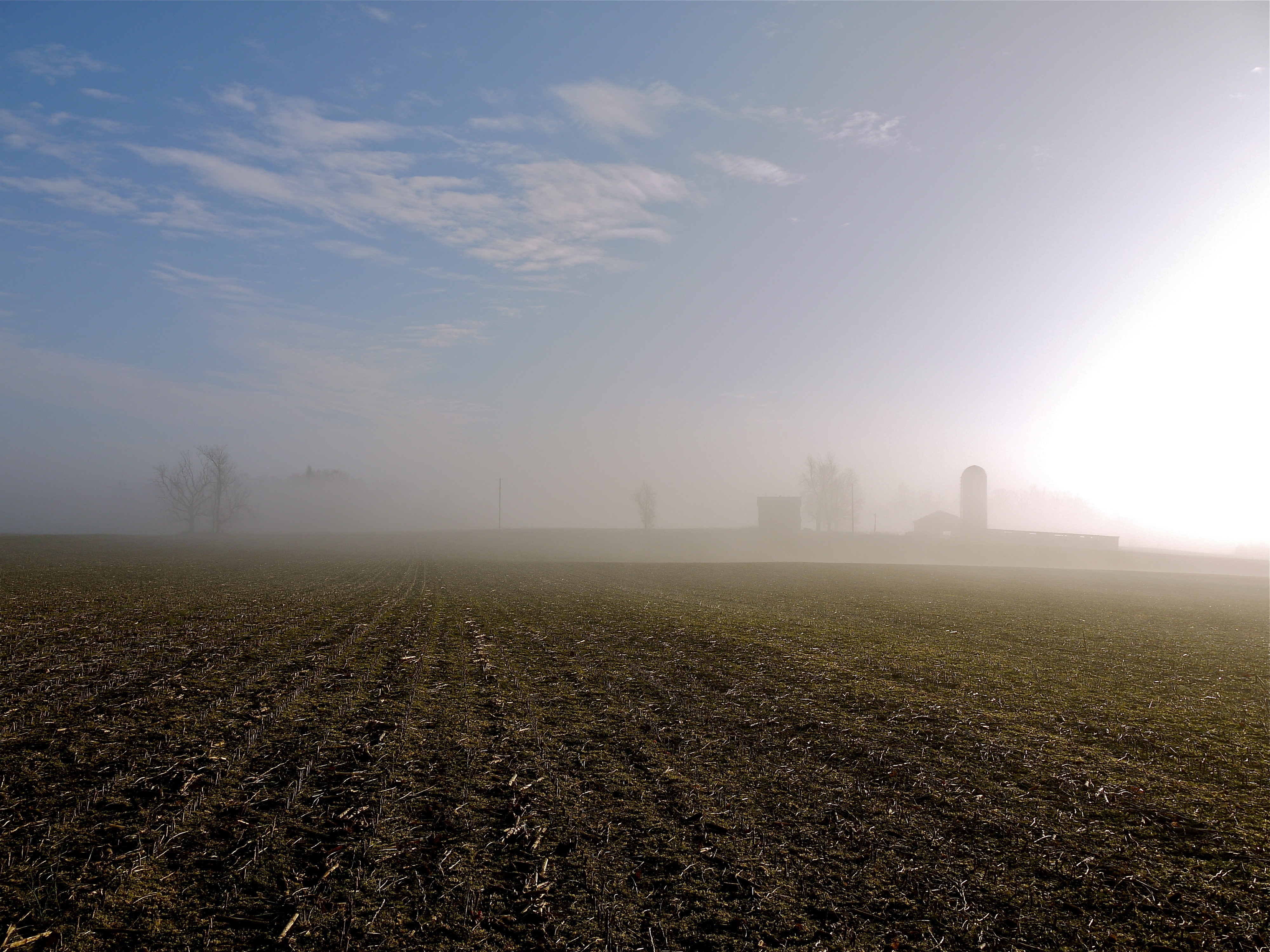
Foggy Morning in Kentucky
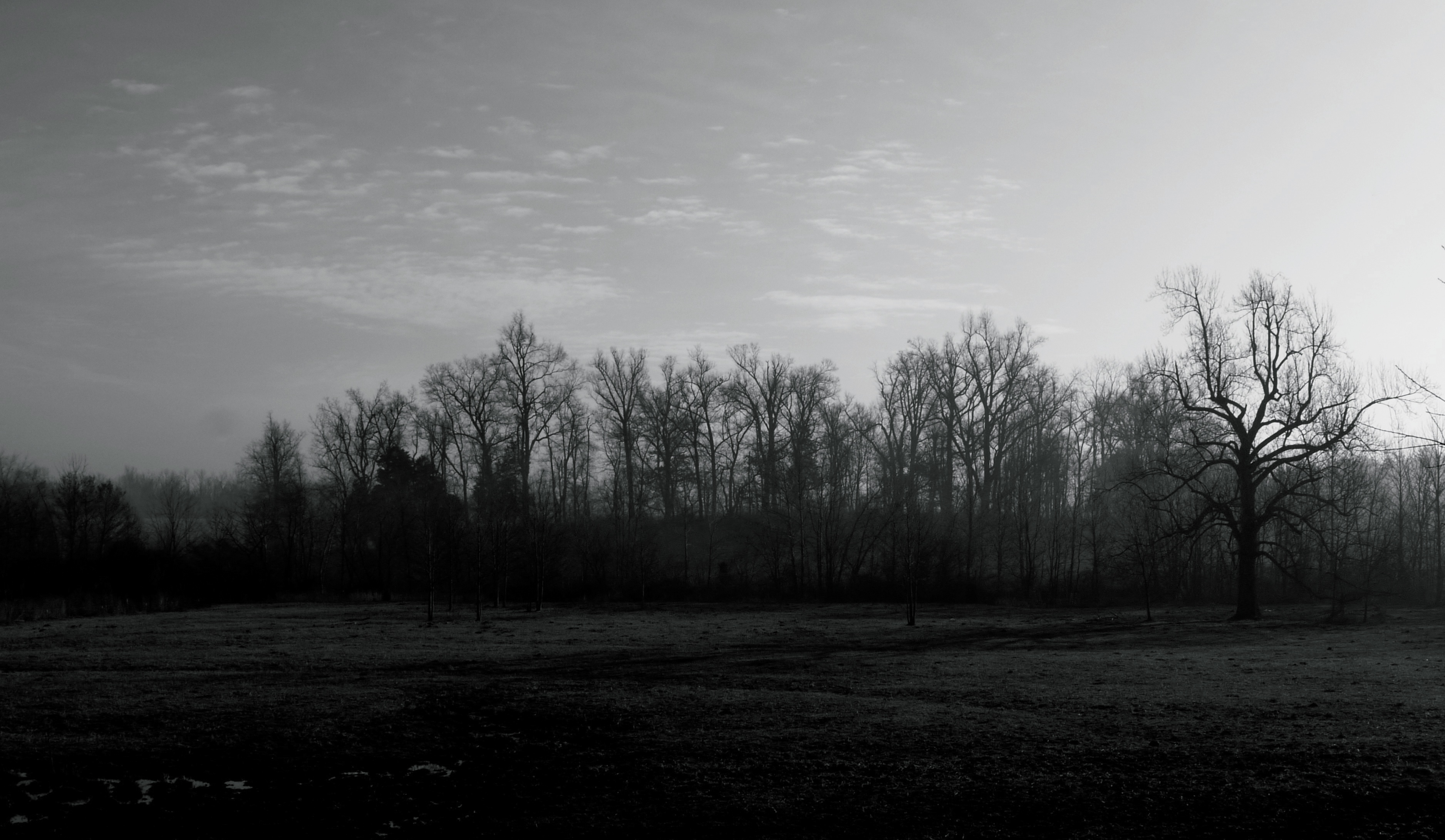
Foggy Morning in Kentucky

CSX Q201-30, Sonora,KY 7/30/2014

Fixin' the electric fence out back of the main field. Feels good to be in the country.
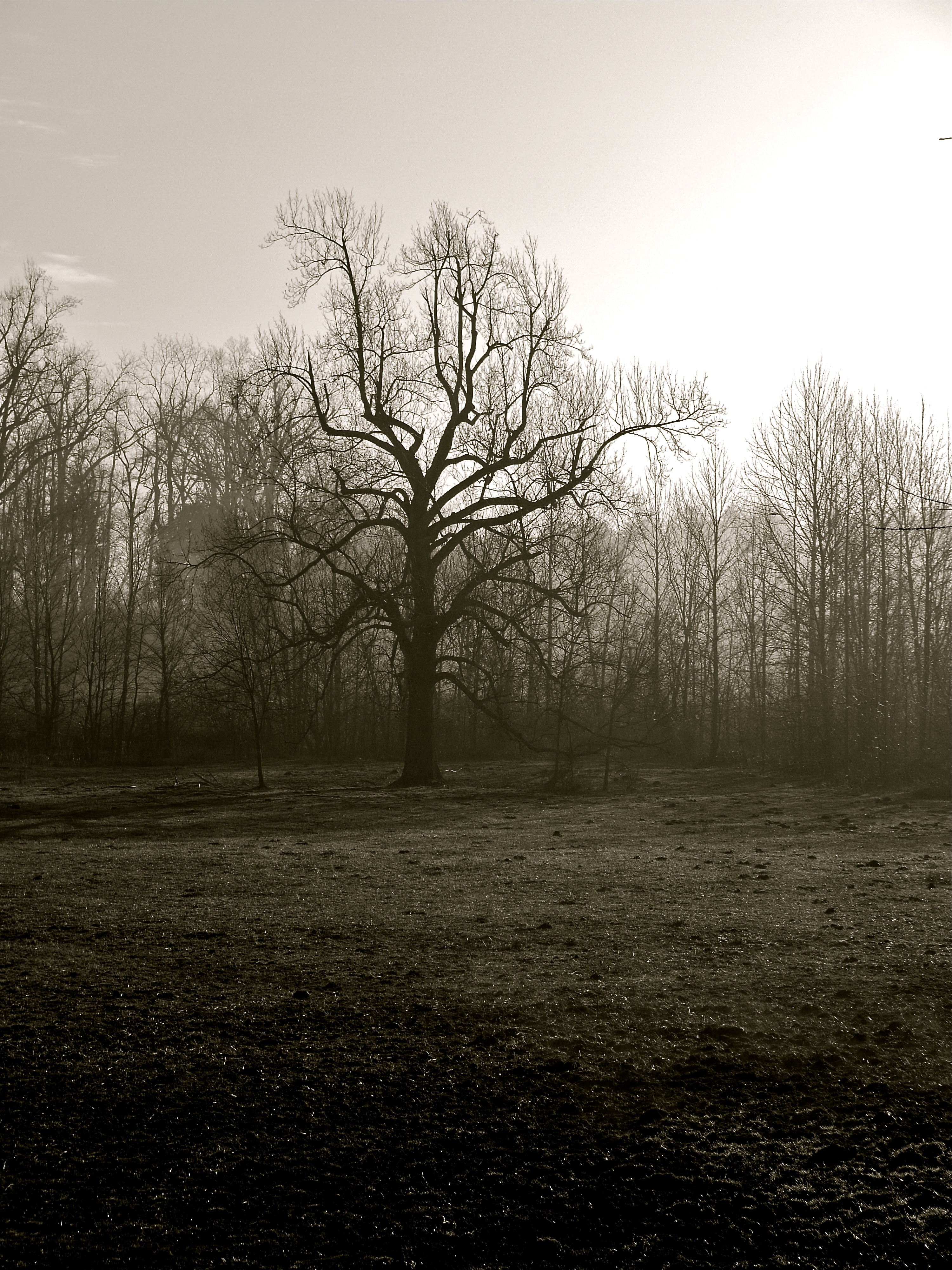
Foggy Morning in Kentucky
Abraham Lincoln Birthplace NHP
From Bowling Green on I65 North - Kentucky - USA
Pick Me Pick Me.
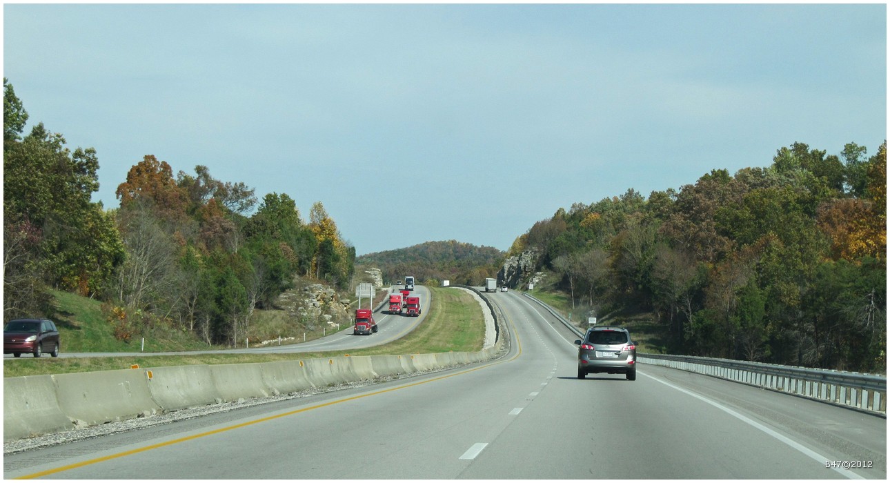
From Bowling Green on I65 North - Kentucky - USA
Topographic Map of Murrieltown Rd, Sonora, KY, USA
Find elevation by address:

Places near Murrieltown Rd, Sonora, KY, USA:
299 Murrieltown Rd
Sonora
29 E Western Ave, Sonora, KY, USA
Upton
Glendale Hedgenville Rd, Elizabethtown, KY, USA
335 Harned Mccubbins Rd
Glendale
Flint Hill Road
95 Lone Star Tower Rd
89 E Rainbow Way
Bonnieville
174 Watson Ln
1415 Hodgenville Rd
1725 Bacon Creek Rd
Star Mills Rd, Glendale, KY, USA
Lone Oak Road
465 Springfield Rd
505 Cs-1389
Cecilia
W Main St, Cecilia, KY, USA
Recent Searches:
- Elevation of Royal Ontario Museum, Queens Park, Toronto, ON M5S 2C6, Canada
- Elevation of Groblershoop, South Africa
- Elevation of Power Generation Enterprises | Industrial Diesel Generators, Oak Ave, Canyon Country, CA, USA
- Elevation of Chesaw Rd, Oroville, WA, USA
- Elevation of N, Mt Pleasant, UT, USA
- Elevation of 6 Rue Jules Ferry, Beausoleil, France
- Elevation of Sattva Horizon, 4JC6+G9P, Vinayak Nagar, Kattigenahalli, Bengaluru, Karnataka, India
- Elevation of Great Brook Sports, Gold Star Hwy, Groton, CT, USA
- Elevation of 10 Mountain Laurels Dr, Nashua, NH, USA
- Elevation of 16 Gilboa Ln, Nashua, NH, USA