Elevation of Grooverville Rd, Dixie, GA, USA
Location: United States > Georgia > Brooks County > Dixie >
Longitude: -83.721530
Latitude: 30.7250188
Elevation: 65m / 213feet
Barometric Pressure: 101KPa
Elevation Map:
Satellite Map:
Related Photos:

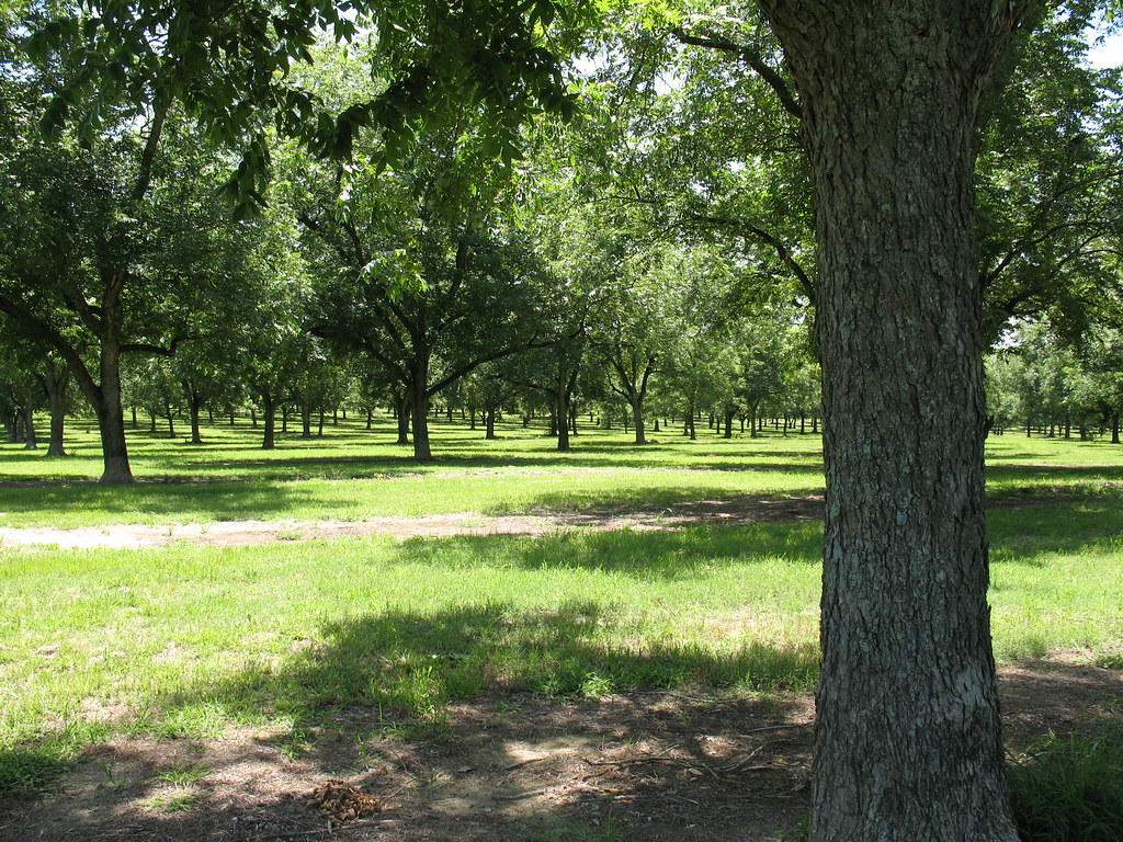
Pecan Grove 3 Boston GA
Pecan Grove 4 Boston GA
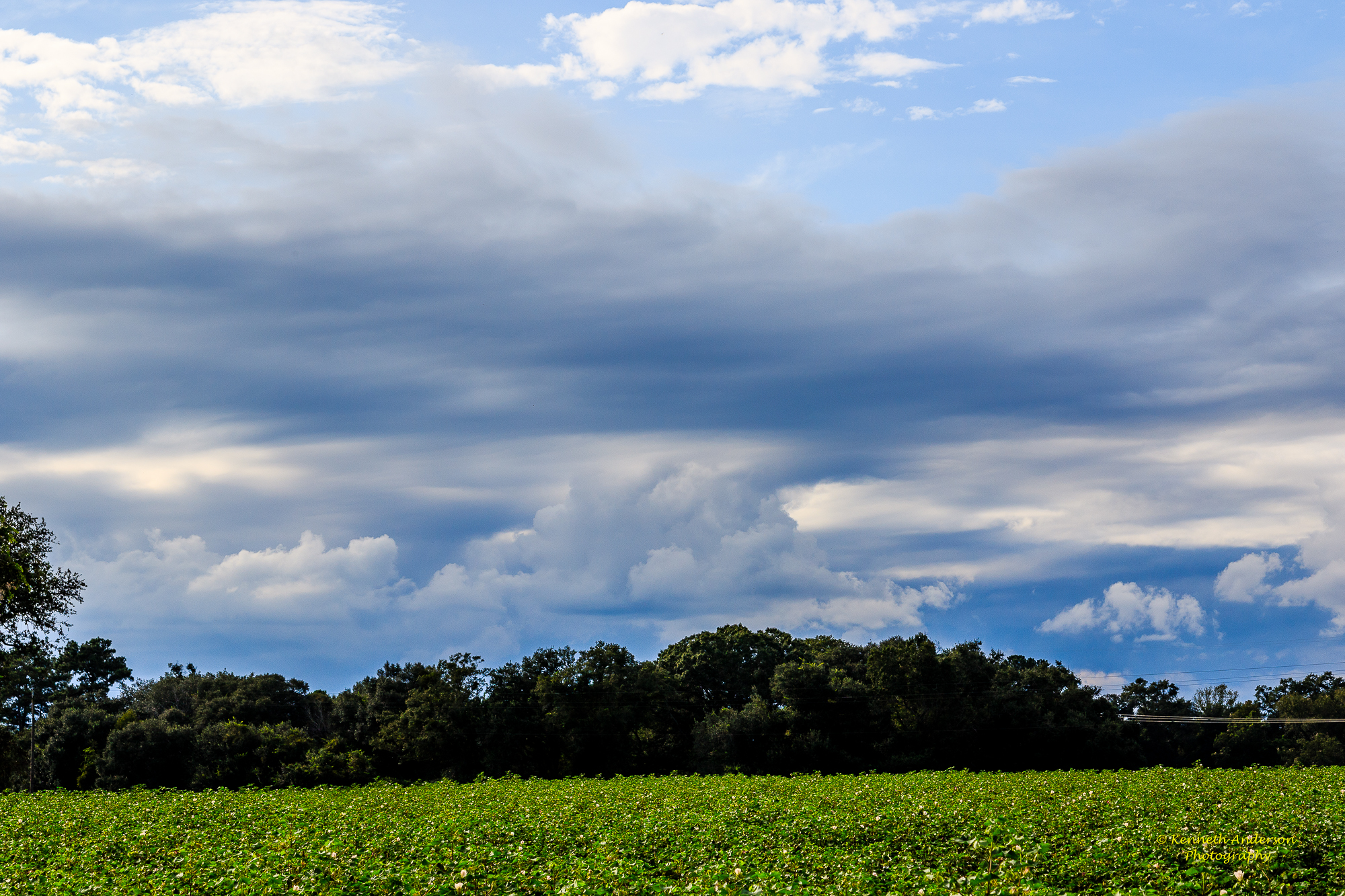
Thomas County Countryside-27.jpg
Thomas County Countryside-26.jpg
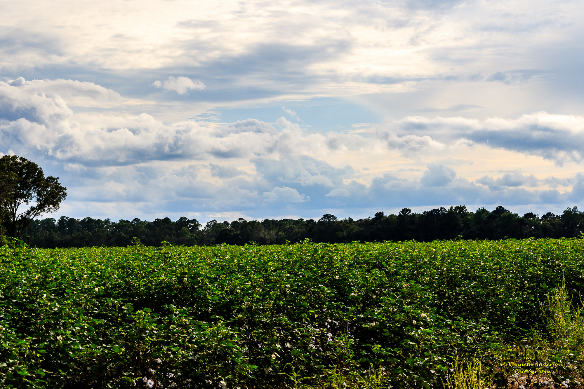
Thomas County Countryside-21.jpg
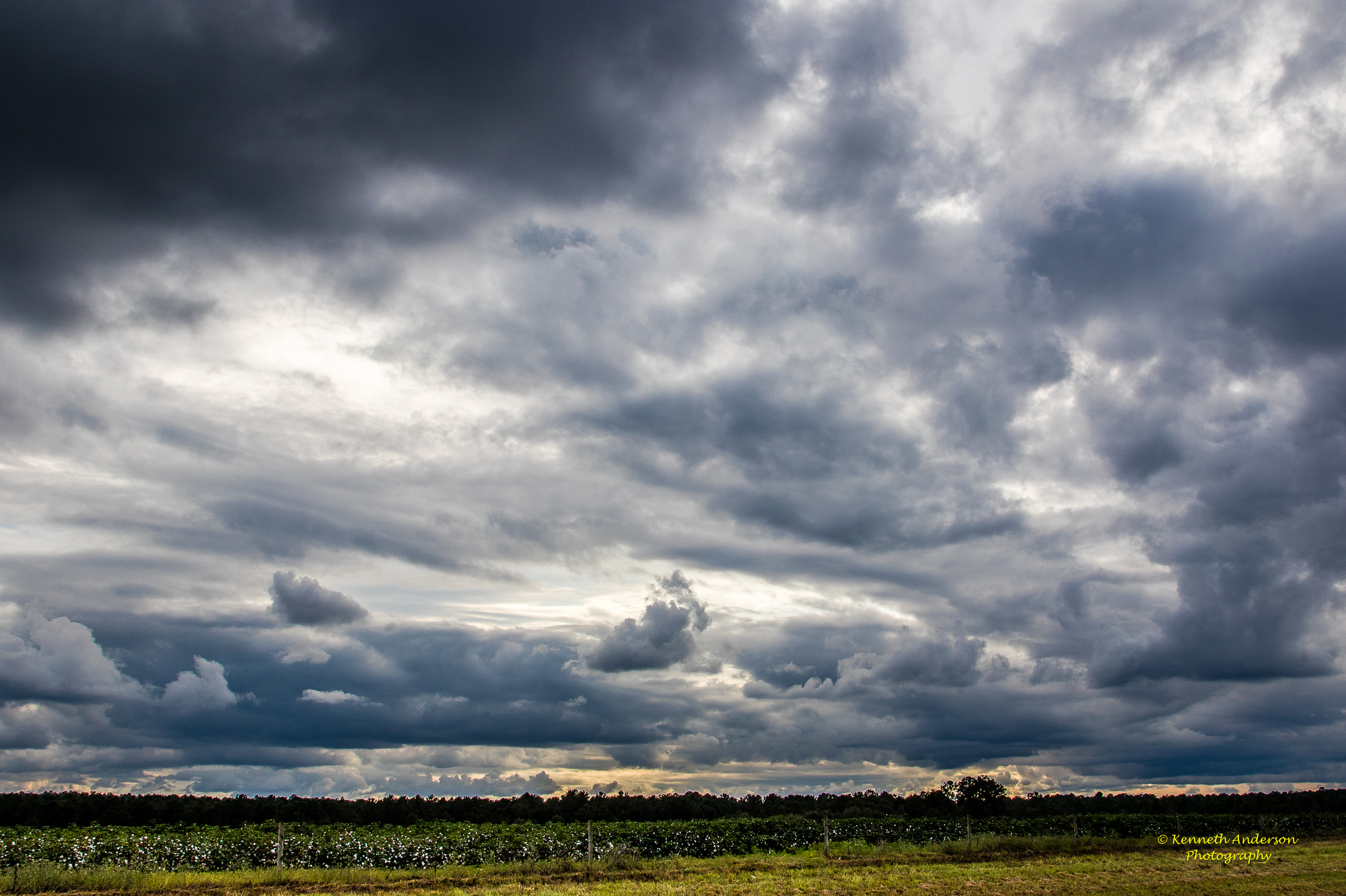
Thomas County Countryside-29.jpg
Thomas County Countryside-28.jpg
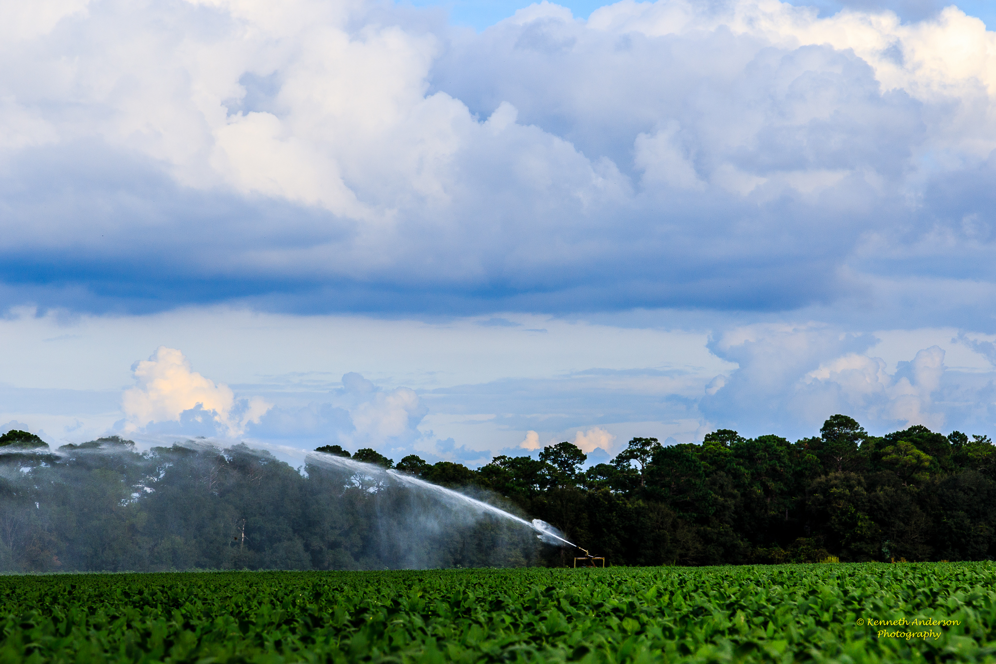
Thomas County Countryside-22.jpg
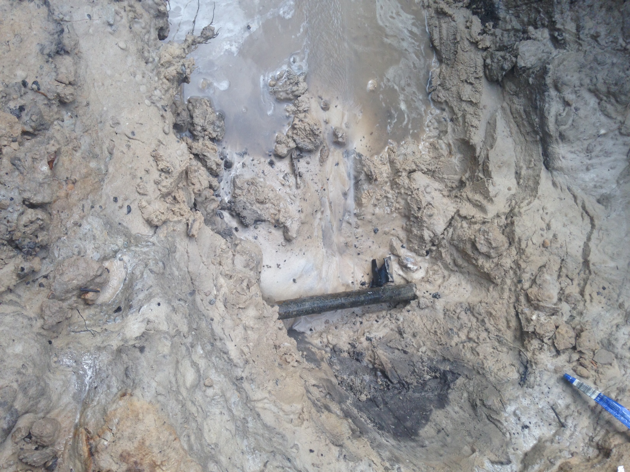
Plumbing Savannah, Georgia
Thomas County Countryside-24.jpg
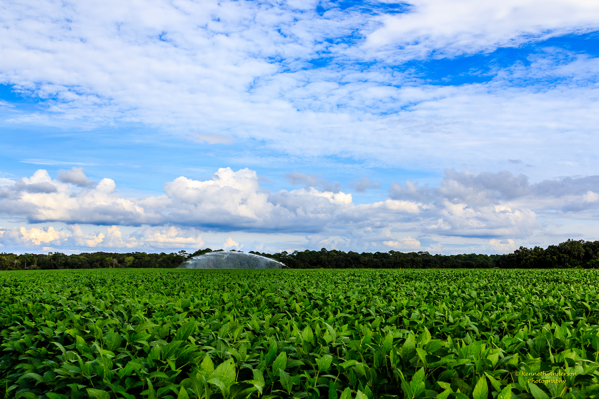
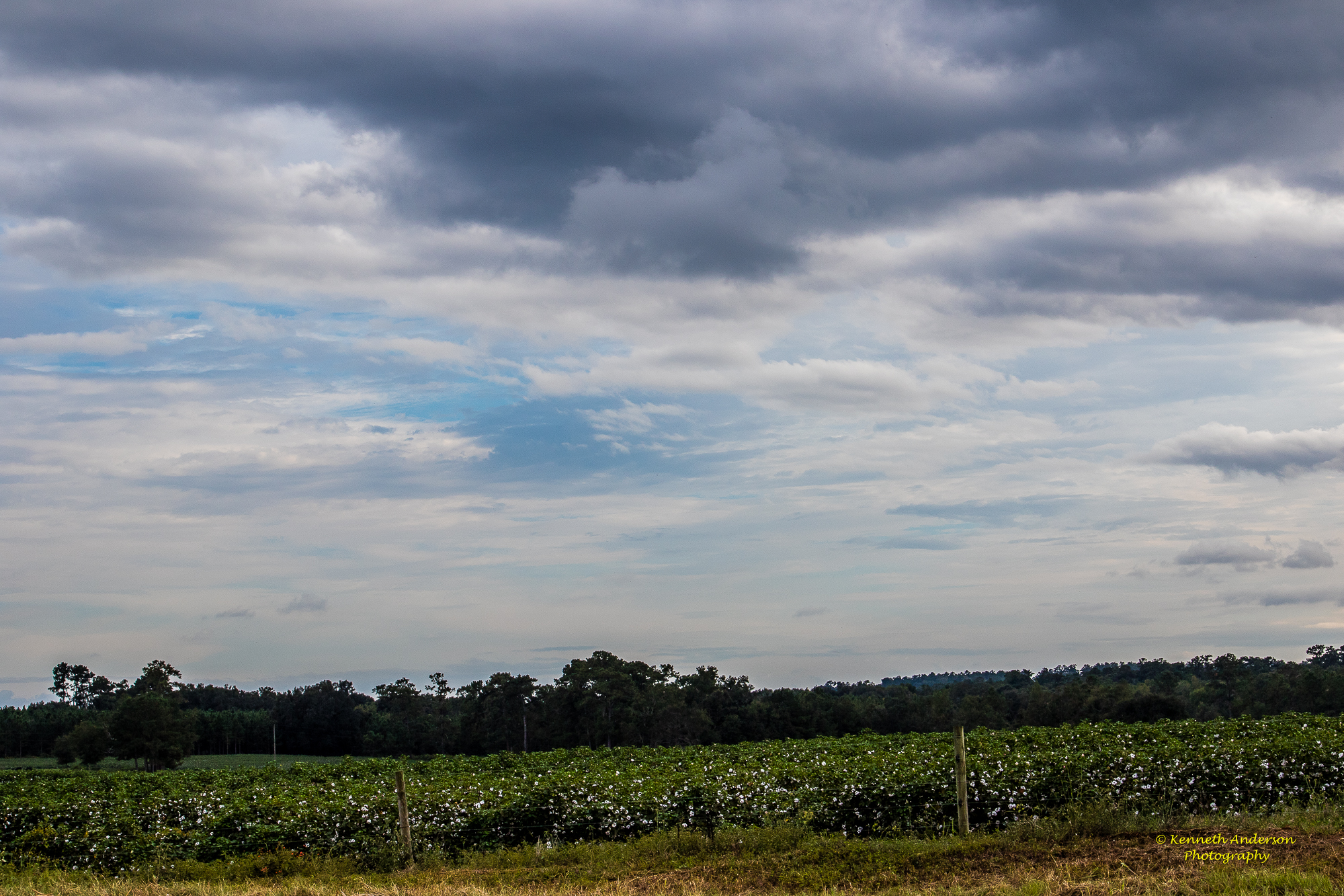
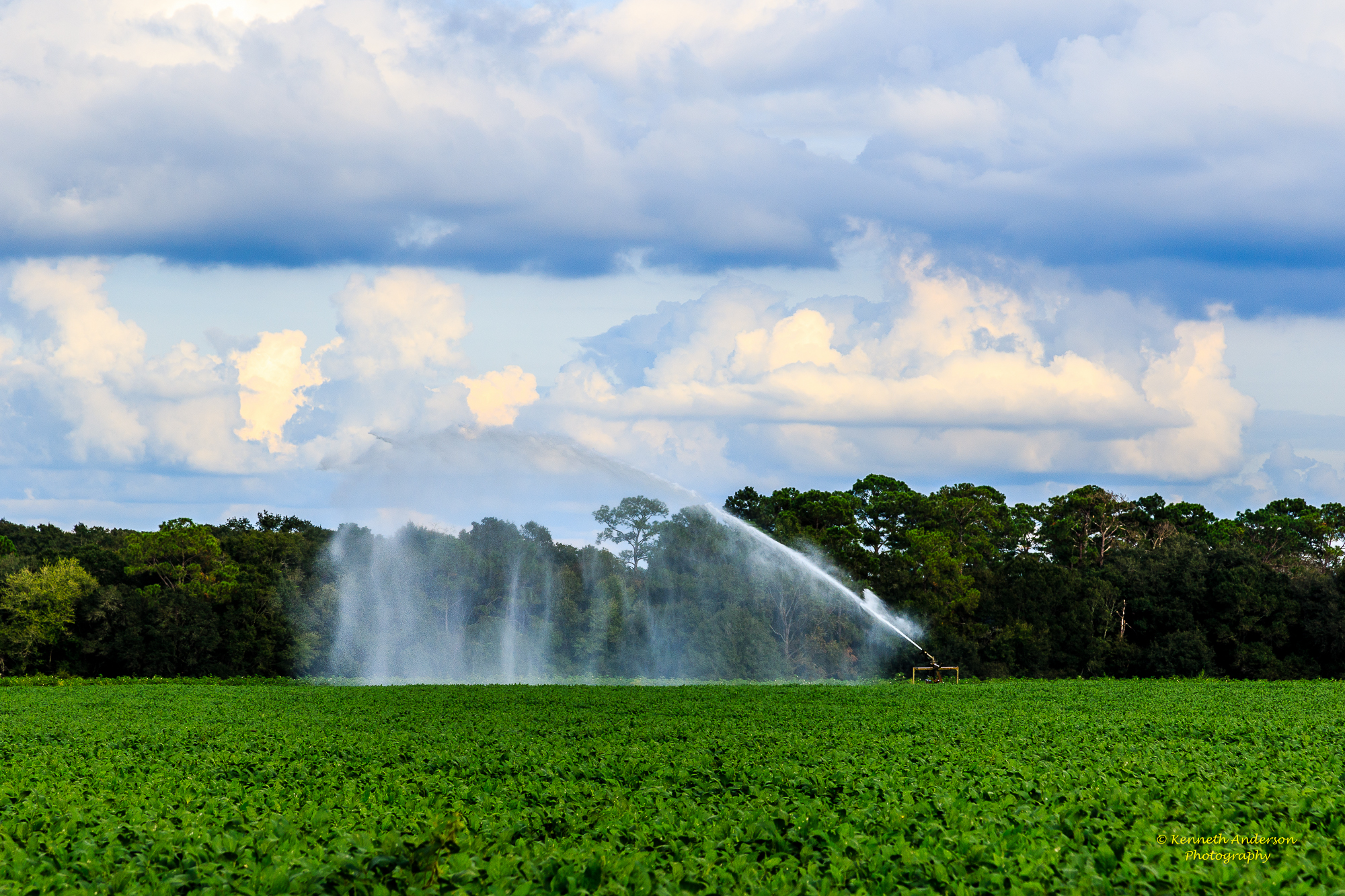
North Florida Farmland
Topographic Map of Grooverville Rd, Dixie, GA, USA
Find elevation by address:

Places near Grooverville Rd, Dixie, GA, USA:
353 Stewart Rd
Dixie Hwy, Dixie, GA, USA
Dixie
12 Mile Post Rd, Boston, GA, USA
Boston
17 Dill, Monticello, FL, USA
4 Dill
178 E 10th Way
Smokehouse Farms Drive
Eason
12505 Eason Crossing Rd
25 Empress Rd, Quitman, GA, USA
Baden Rd, Quitman, GA, USA
Barwick Road
Thomas County
Quitman
13262 Nw Little Cat Rd
704 Barnes Rd
Turney Anderson Road
Co Rd, Greenville, FL, USA
Recent Searches:
- Elevation of Tenjo, Cundinamarca, Colombia
- Elevation of Côte-des-Neiges, Montreal, QC H4A 3J6, Canada
- Elevation of Bobcat Dr, Helena, MT, USA
- Elevation of Zu den Ihlowbergen, Althüttendorf, Germany
- Elevation of Badaber, Peshawar, Khyber Pakhtunkhwa, Pakistan
- Elevation of SE Heron Loop, Lincoln City, OR, USA
- Elevation of Slanický ostrov, 01 Námestovo, Slovakia
- Elevation of Spaceport America, Co Rd A, Truth or Consequences, NM, USA
- Elevation of Warwick, RI, USA
- Elevation of Fern Rd, Whitmore, CA, USA