Elevation of Brooks County, GA, USA
Location: United States > Georgia >
Longitude: -83.5496566
Latitude: 30.8730159
Elevation: 72m / 236feet
Barometric Pressure: 0KPa
Related Photos:
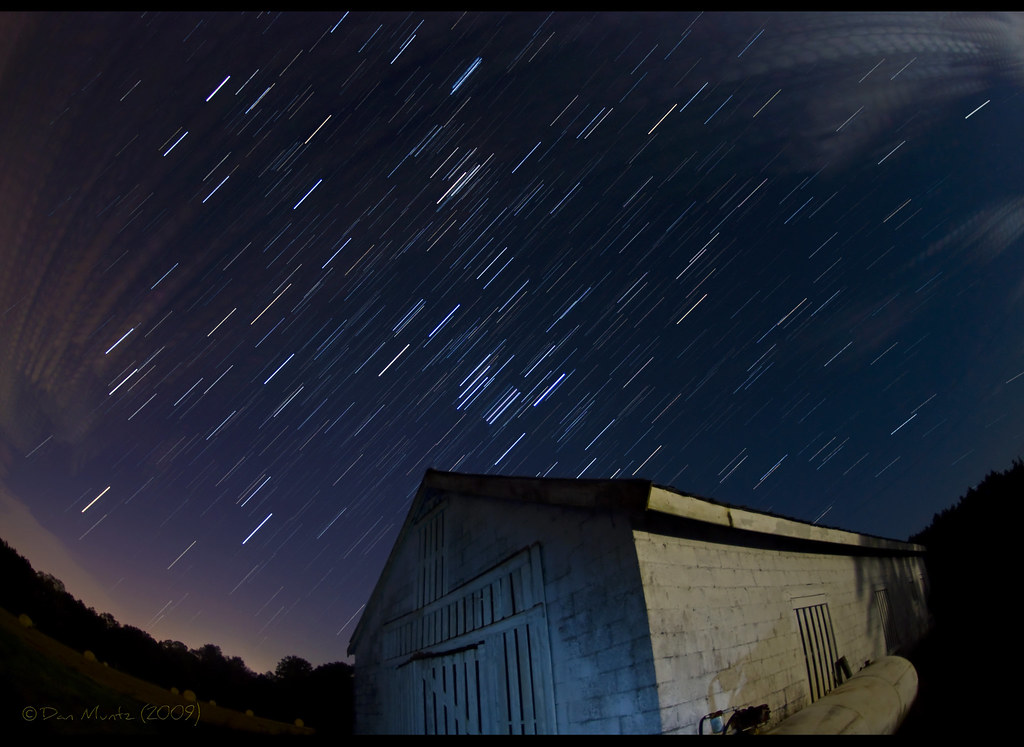
Star trail - 20 minutes - facing East
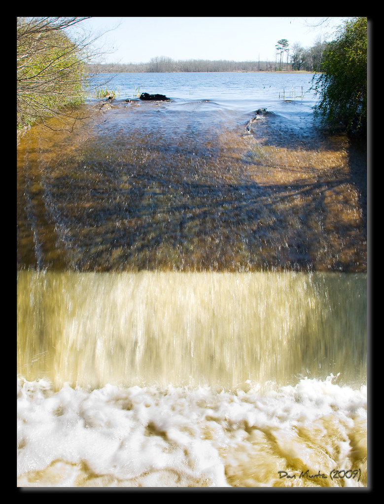
Lake Dam

Lake Dam
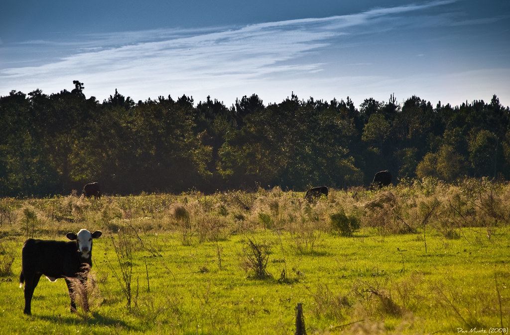
Cows in their pasture

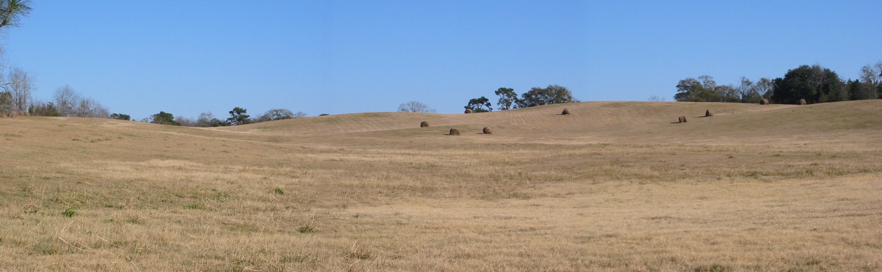
Hay bales

Cows in their pasture
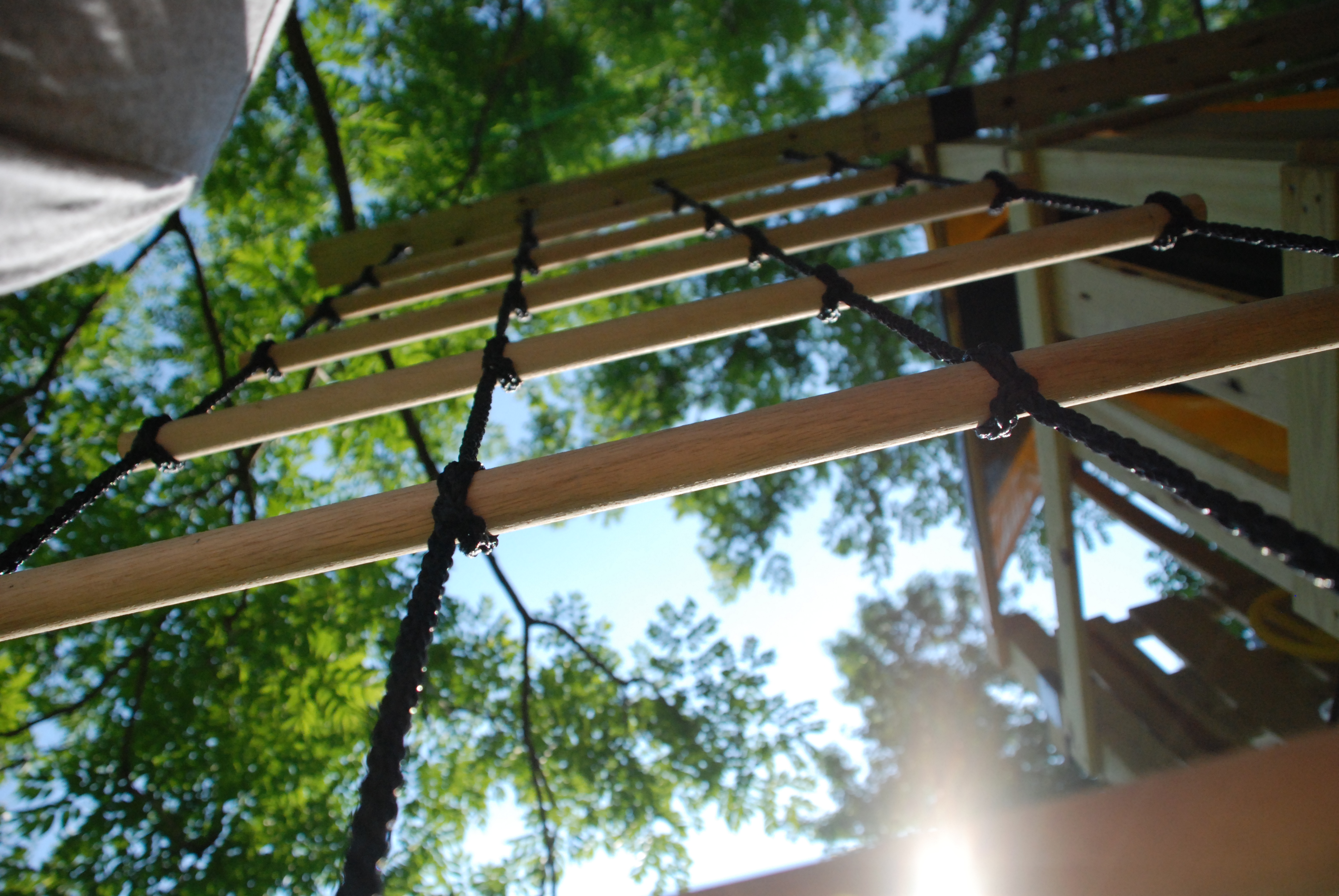
Rope and Dowel ladder

Football Laces

Star light, star bright!
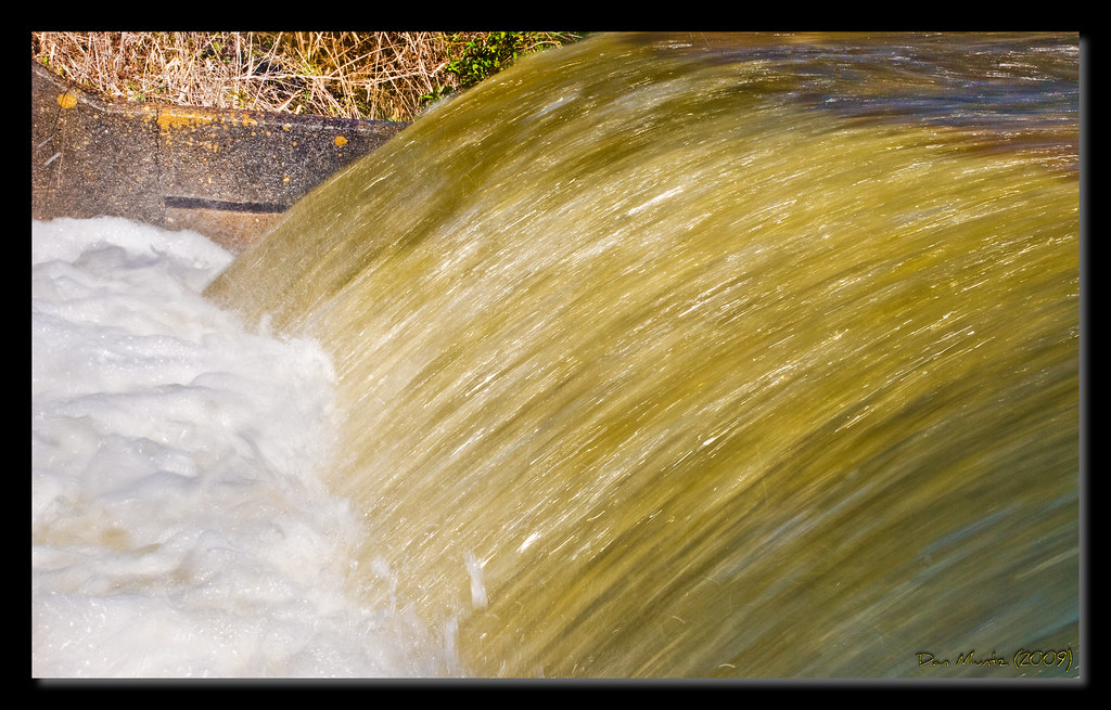
Lake Dam

Star light, star bright!
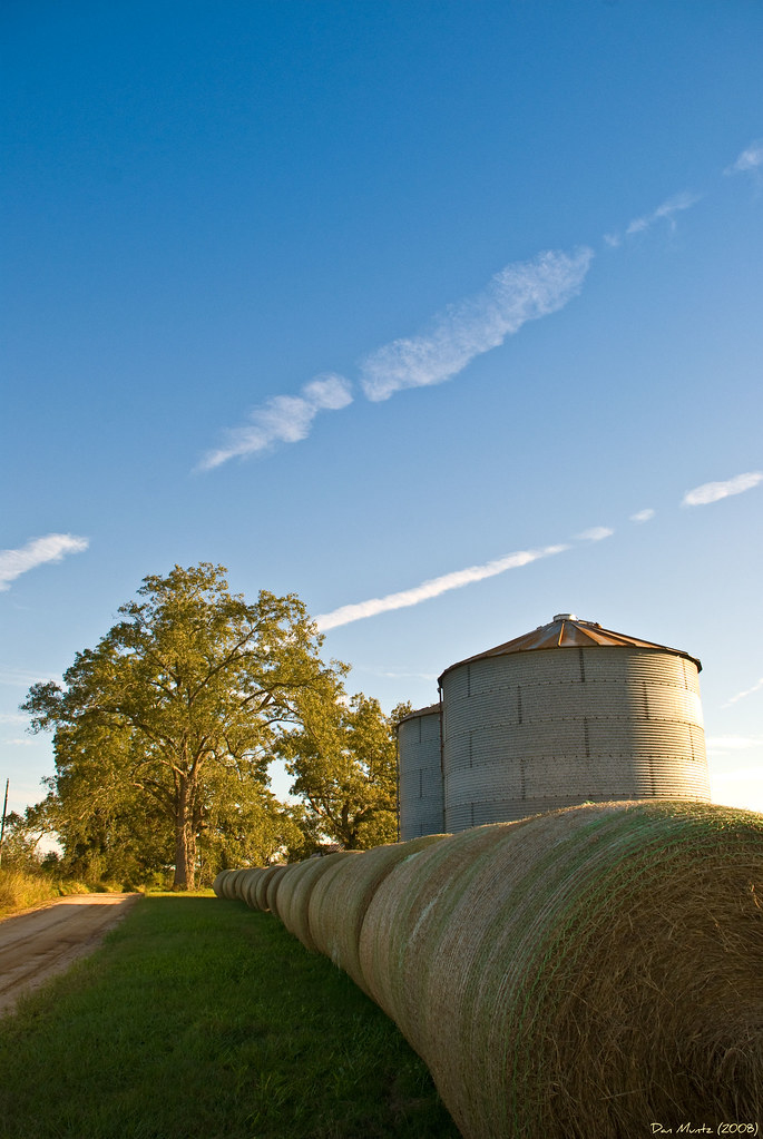
Hay bales

Cabinet Door Handles
Sushi Mat

Orion's Belt
Cabinet Door
The Knoll
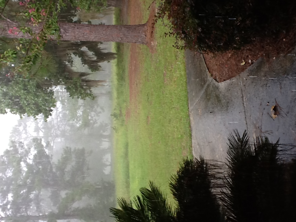
Thankful for More Rain

Old Bethel Church (Brooks County)
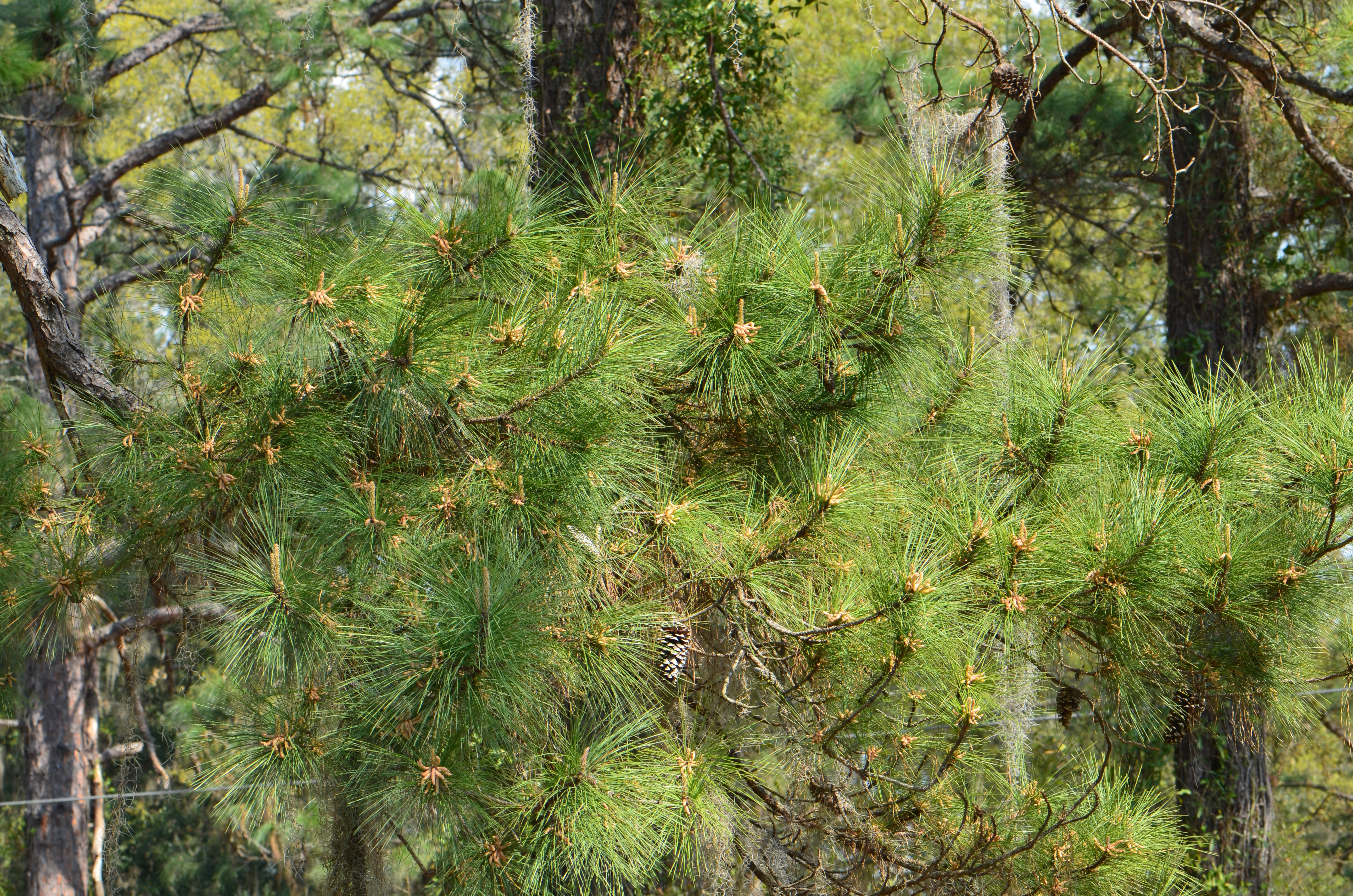
Day in the Life of March 20, 2011 - Pine Tree New Growth
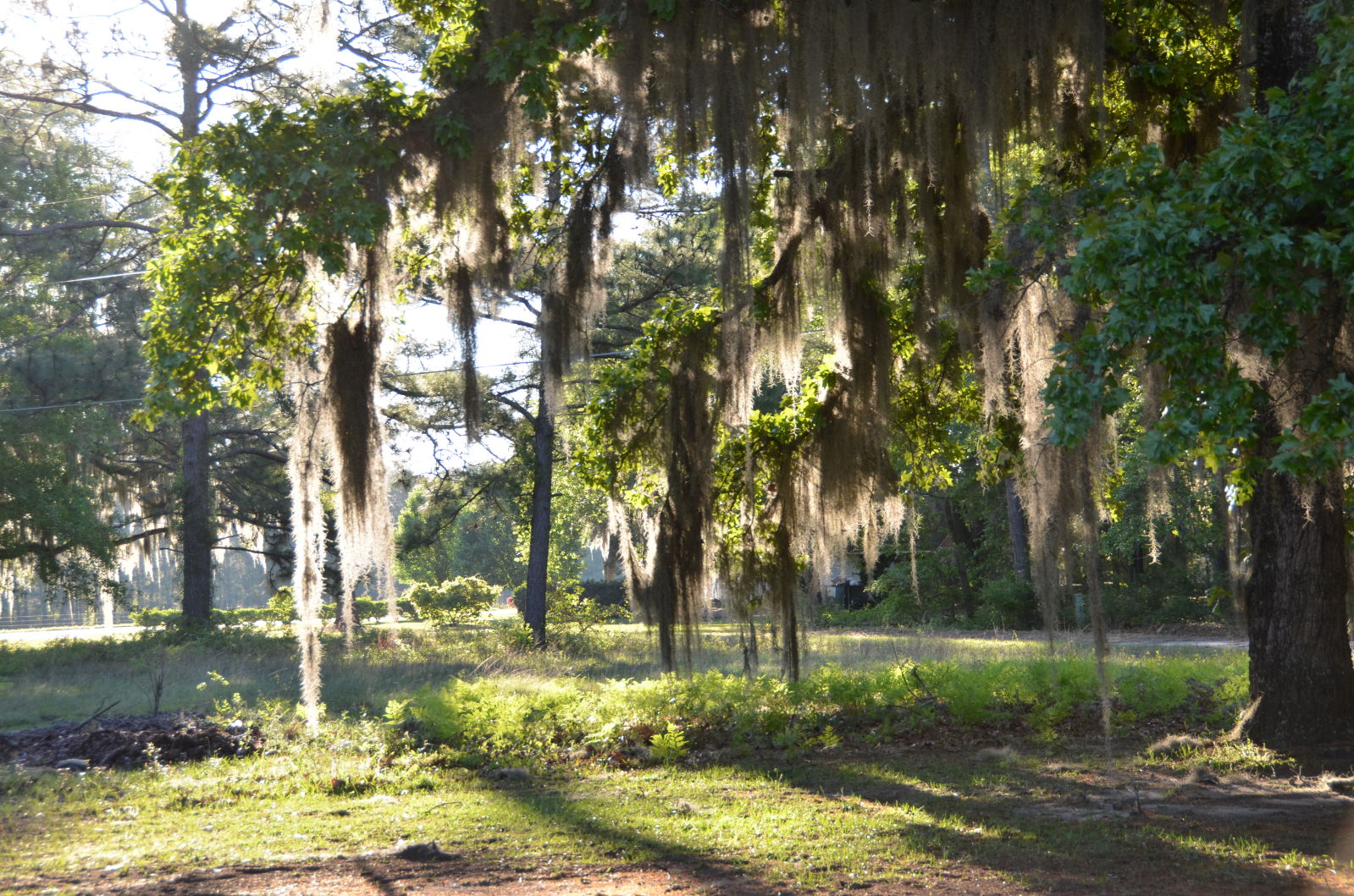
Sunlight Thru the Spanish Moss
Topographic Map of Brooks County, GA, USA
Find elevation by address:

Places in Brooks County, GA, USA:
Places near Brooks County, GA, USA:
9719 Moultrie Hwy
Coffee Rd, Quitman, GA, USA
Barwick Road
Quitman
US-84, Quitman, GA, USA
6500 Chug A Lug Rd
5778 Baxter Ln
Ousley Rd, Valdosta, GA, USA
Dixie
Dixie Hwy, Dixie, GA, USA
353 Stewart Rd
5236 Snake Nation Rd
US-84, Valdosta, GA, USA
Wellington Woods Dr, Hahira, GA, USA
Netherfield Ln, Valdosta, GA, USA
4021 Kilarney Cir
James Road
Pine Needle Dr N, Valdosta, GA, USA
Lantern Ln, Valdosta, GA, USA
2000 Beverly Dr
Recent Searches:
- Elevation map of Greenland, Greenland
- Elevation of Sullivan Hill, New York, New York, 10002, USA
- Elevation of Morehead Road, Withrow Downs, Charlotte, Mecklenburg County, North Carolina, 28262, USA
- Elevation of 2800, Morehead Road, Withrow Downs, Charlotte, Mecklenburg County, North Carolina, 28262, USA
- Elevation of Yangbi Yi Autonomous County, Yunnan, China
- Elevation of Pingpo, Yangbi Yi Autonomous County, Yunnan, China
- Elevation of Mount Malong, Pingpo, Yangbi Yi Autonomous County, Yunnan, China
- Elevation map of Yongping County, Yunnan, China
- Elevation of North 8th Street, Palatka, Putnam County, Florida, 32177, USA
- Elevation of 107, Big Apple Road, East Palatka, Putnam County, Florida, 32131, USA
- Elevation of Jiezi, Chongzhou City, Sichuan, China
- Elevation of Chongzhou City, Sichuan, China
- Elevation of Huaiyuan, Chongzhou City, Sichuan, China
- Elevation of Qingxia, Chengdu, Sichuan, China
- Elevation of Corso Fratelli Cairoli, 35, Macerata MC, Italy
- Elevation of Tallevast Rd, Sarasota, FL, USA
- Elevation of 4th St E, Sonoma, CA, USA
- Elevation of Black Hollow Rd, Pennsdale, PA, USA
- Elevation of Oakland Ave, Williamsport, PA, USA
- Elevation of Pedrógão Grande, Portugal