Elevation of Griffin Township, AR, USA
Location: United States > Arkansas > Conway County >
Longitude: -92.797901
Latitude: 35.4239937
Elevation: 220m / 722feet
Barometric Pressure: 99KPa
Elevation Map:
Satellite Map:
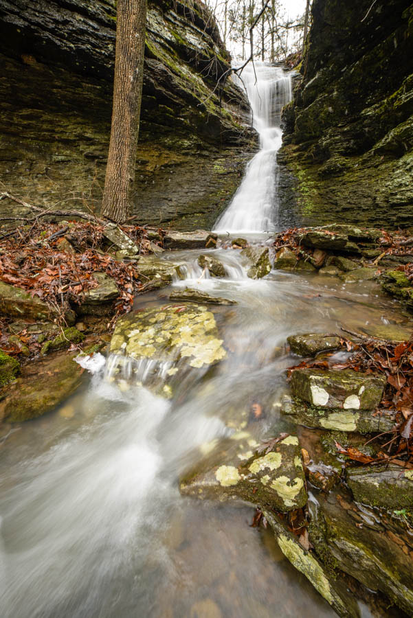
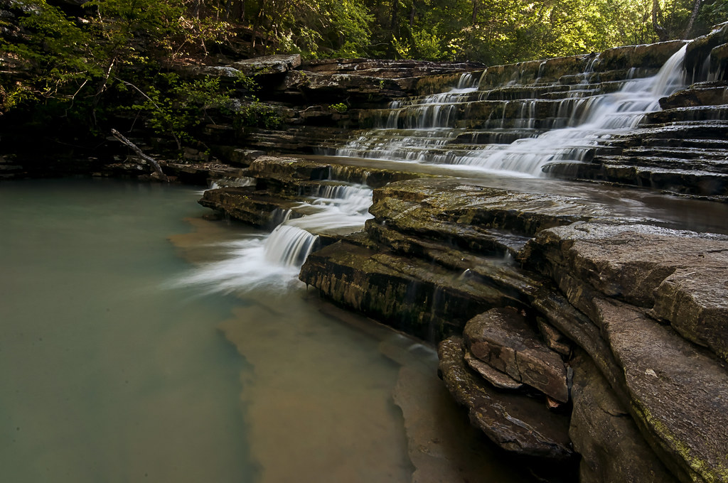
Related Photos:

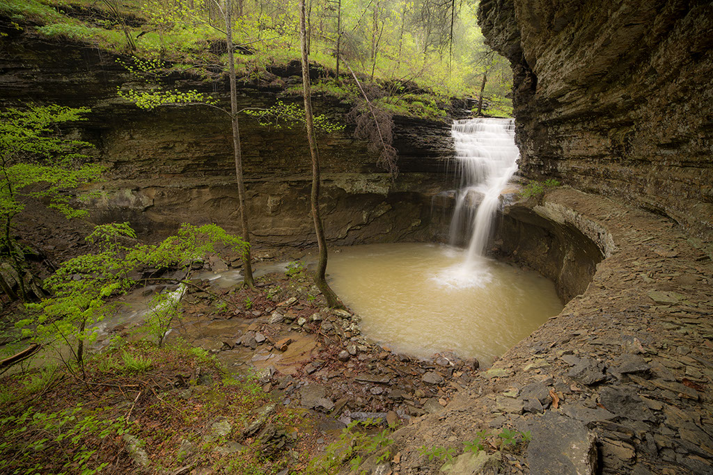
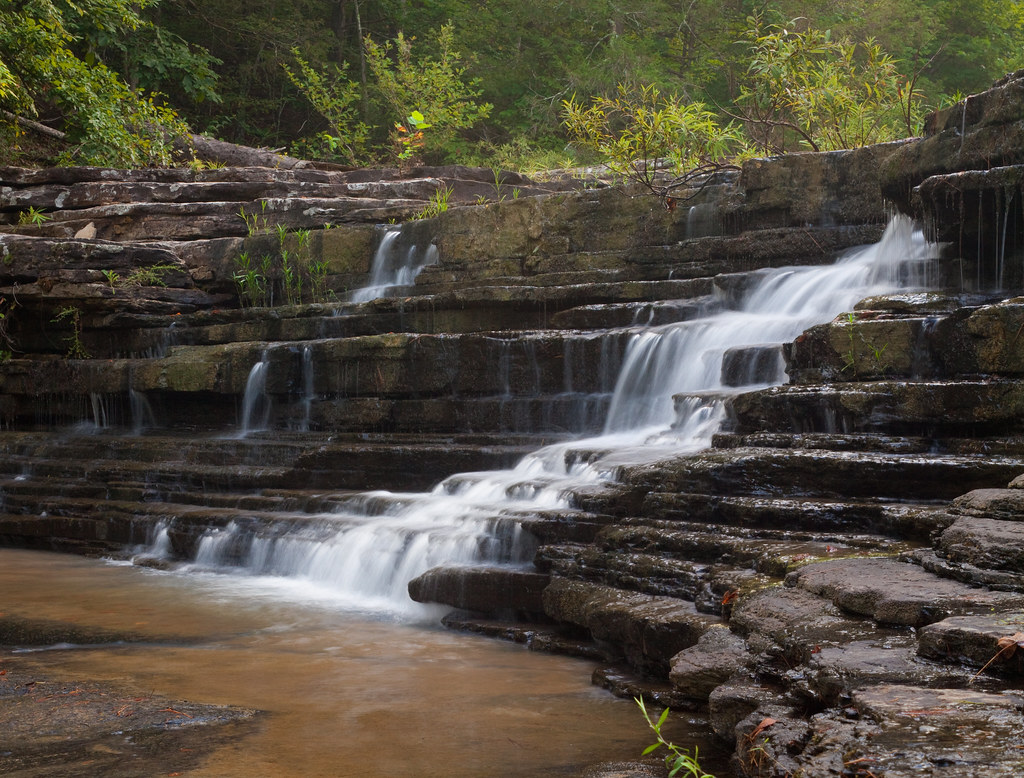
Ladderbucket Falls
thundering waters
in the slot

ray of light
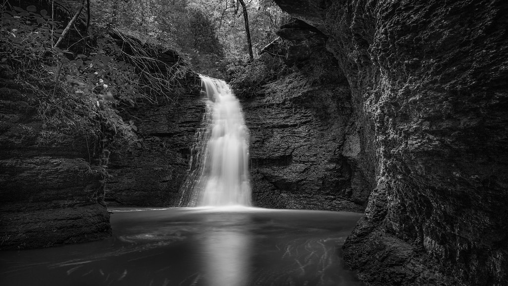
Morning in the Blue Hole
one - two - one

Ladderbucket Hollow

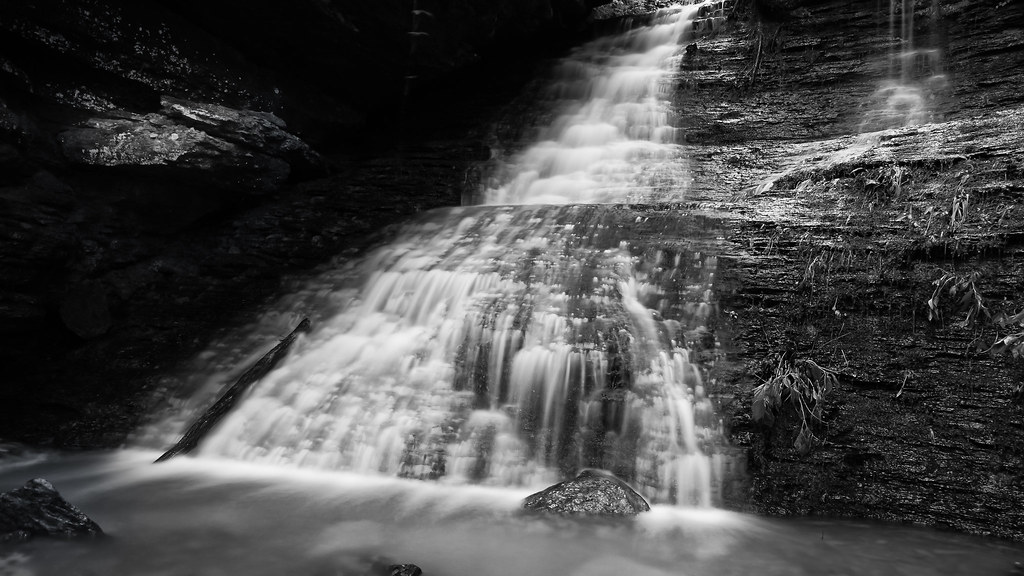
down spout
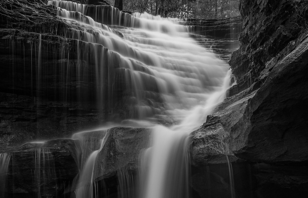
nature's staircase
Green Grotto Falls
Unnamed Falls b/w
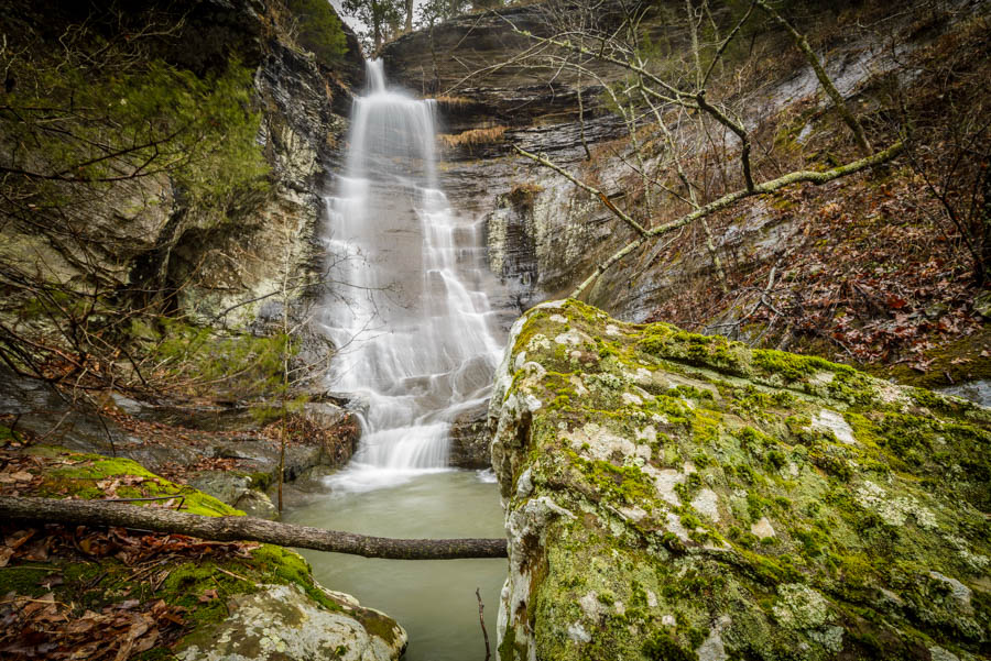
Ladder Bucket Falls (the top half)
Topographic Map of Griffin Township, AR, USA
Find elevation by address:

Places in Griffin Township, AR, USA:
Places near Griffin Township, AR, USA:
393 Jerusalem Rd
Jerusalem Rd, Jerusalem, AR, USA
Nichols Township
Cleveland
AR-95, Cleveland, AR, USA
3733 Ar-287
4621 Ar-95
Scotland, AR, USA
Lanty Rd, Solgohachia, AR, USA
Dayton Rd, Cleveland, AR, USA
39 Middleton Rd, Center Ridge, AR, USA
Lick Mountain Township
Center Ridge
AR-9, Center Ridge, AR, USA
26 Lucy Ln
Co Hwy, Center Ridge, AR, USA
Grassy Hollow Road
AR-9, Clinton, AR, USA
Formosa Township
4682 Ar-9
Recent Searches:
- Elevation of Bydgoszcz, Poland
- Elevation of Bydgoszcz, Poland
- Elevation of Calais Dr, Del Mar, CA, USA
- Elevation of Placer Mine Ln, West Jordan, UT, USA
- Elevation of E 63rd St, New York, NY, USA
- Elevation of Elk City, OK, USA
- Elevation of Erika Dr, Windsor, CA, USA
- Elevation of Village Ln, Finleyville, PA, USA
- Elevation of 24 Oakland Rd #, Scotland, ON N0E 1R0, Canada
- Elevation of Deep Gap Farm Rd E, Mill Spring, NC, USA