Elevation of AR-, Cleveland, AR, USA
Location: United States > Arkansas > Conway County > Nichols Township > Cleveland >
Longitude: -92.705255
Latitude: 35.3698449
Elevation: 195m / 640feet
Barometric Pressure: 99KPa
Elevation Map:
Satellite Map:
Related Photos:

Ladder Bucket Falls (the top half)

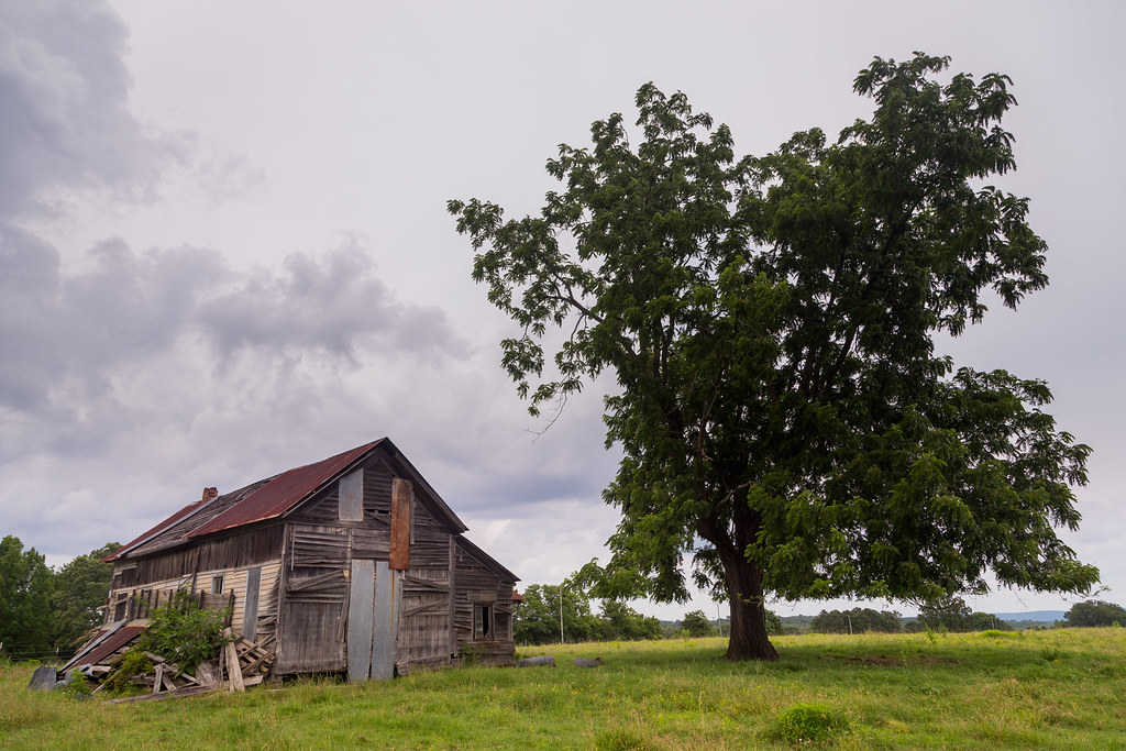
Center Ridge, Arkansas

Center Ridge, Arkansas

Onyx Cave (59)

Dead End

Samantha Dr

Bucket List
Tree House

Sequence for Days

Onyx Cave (12)

Onyx Cave (13)

Onyx Cave (14)

Onyx Cave (15)

Onyx Cave (16)

Onyx Cave (17)

Onyx Cave (18)

Onyx Cave (19)

Onyx Cave (20)

Onyx Cave (22)
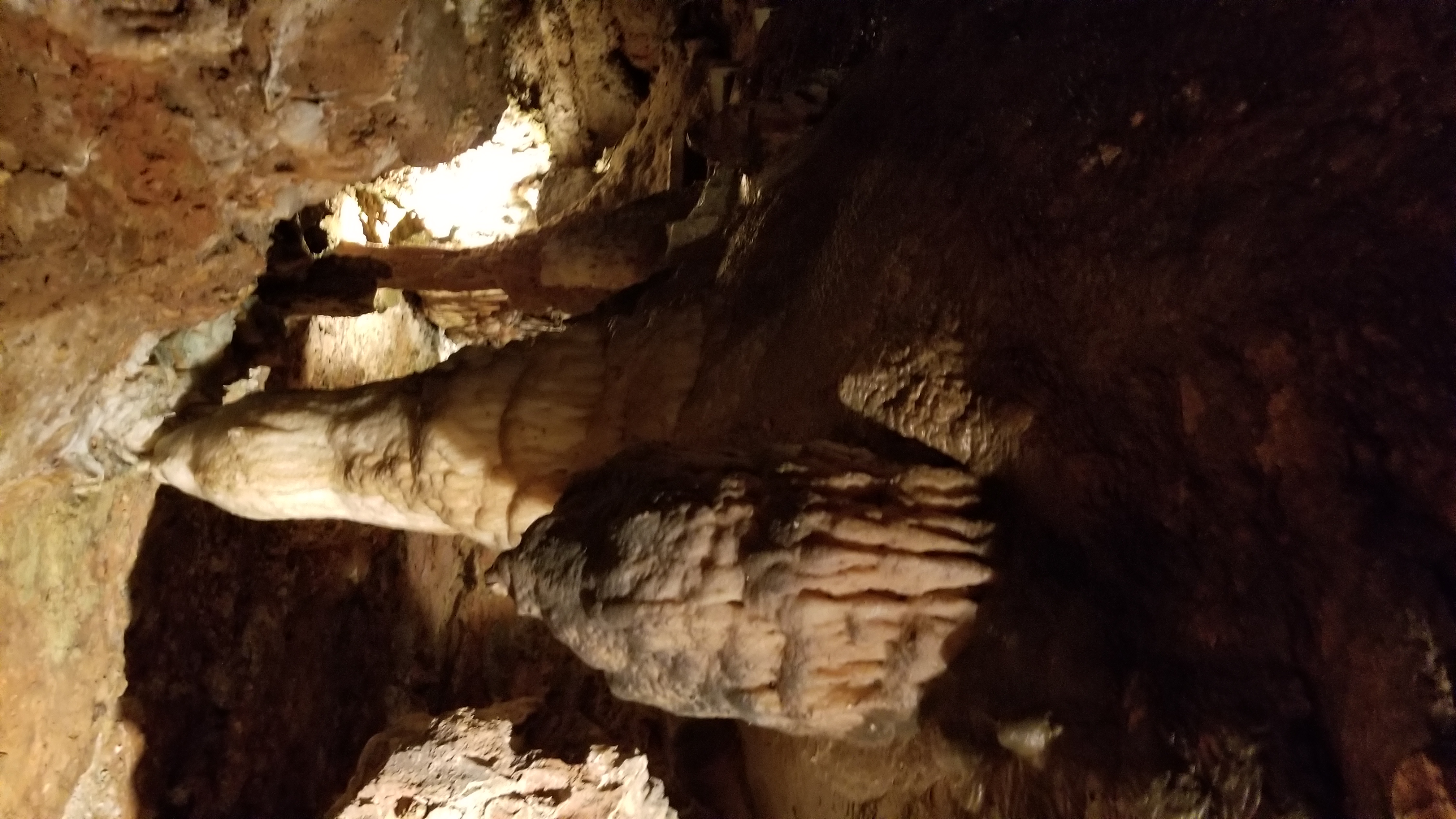
Onyx Cave (21)

Onyx Cave (23)

Onyx Cave (24)

Onyx Cave (25)

Onyx Cave (26)
Topographic Map of AR-, Cleveland, AR, USA
Find elevation by address:

Places near AR-, Cleveland, AR, USA:
AR-95, Cleveland, AR, USA
Lanty Rd, Solgohachia, AR, USA
Cleveland
Nichols Township
4621 Ar-95
39 Middleton Rd, Center Ridge, AR, USA
Jerusalem Rd, Jerusalem, AR, USA
393 Jerusalem Rd
Lick Mountain Township
Griffin Township
Dayton Rd, Cleveland, AR, USA
Scotland, AR, USA
Center Ridge
AR-9, Center Ridge, AR, USA
26 Lucy Ln
Co Hwy, Center Ridge, AR, USA
AR-9, Clinton, AR, USA
Grassy Hollow Road
Formosa Township
4682 Ar-9
Recent Searches:
- Elevation of 15th Ave SE, St. Petersburg, FL, USA
- Elevation of Beall Road, Beall Rd, Florida, USA
- Elevation of Leguwa, Nepal
- Elevation of County Rd, Enterprise, AL, USA
- Elevation of Kolchuginsky District, Vladimir Oblast, Russia
- Elevation of Shustino, Vladimir Oblast, Russia
- Elevation of Lampiasi St, Sarasota, FL, USA
- Elevation of Elwyn Dr, Roanoke Rapids, NC, USA
- Elevation of Congressional Dr, Stevensville, MD, USA
- Elevation of Bellview Rd, McLean, VA, USA