Elevation of Graysville, PA, USA
Location: United States > Pennsylvania > Greene County >
Longitude: -80.384790
Latitude: 39.9320201
Elevation: 350m / 1148feet
Barometric Pressure: 97KPa
Elevation Map:
Satellite Map:
Related Photos:
Back to Bailey
It's About Time
Mooney Farm

Crow Farm
Lower Enlow Road
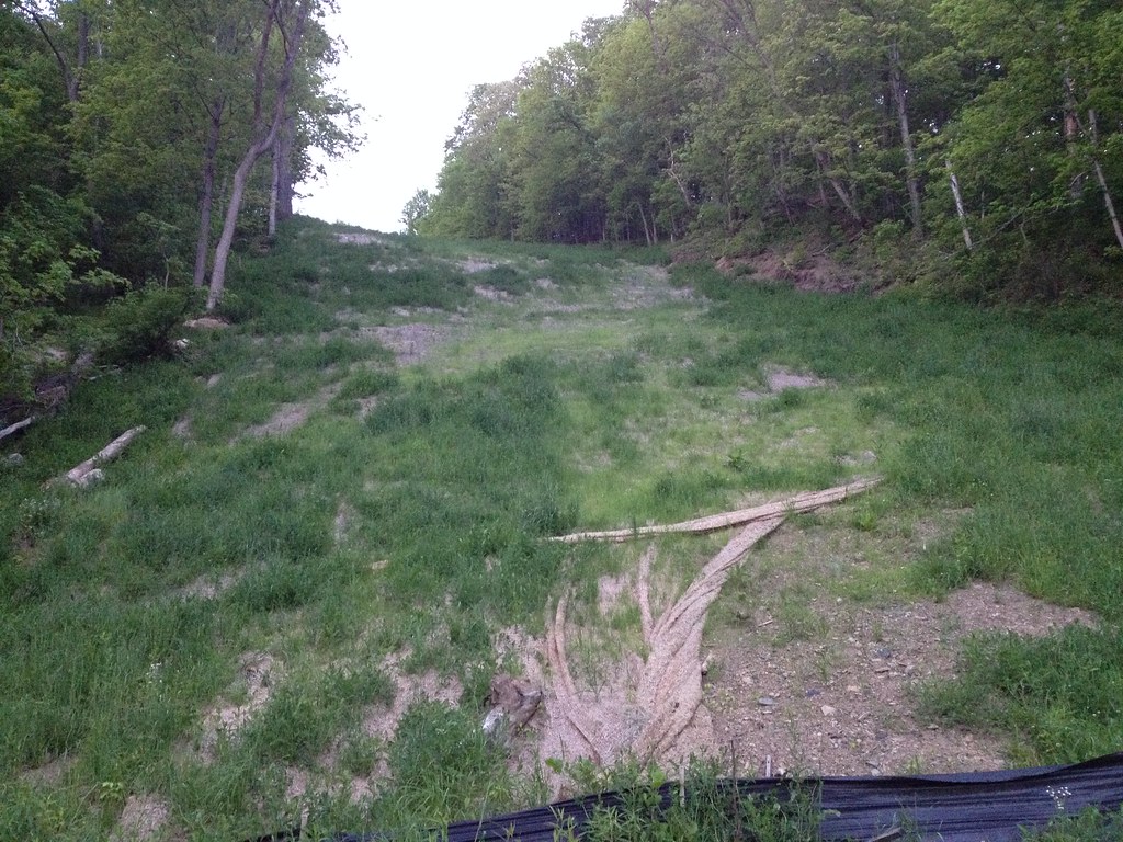
It's still steep!

Steep pipeline right-of-way
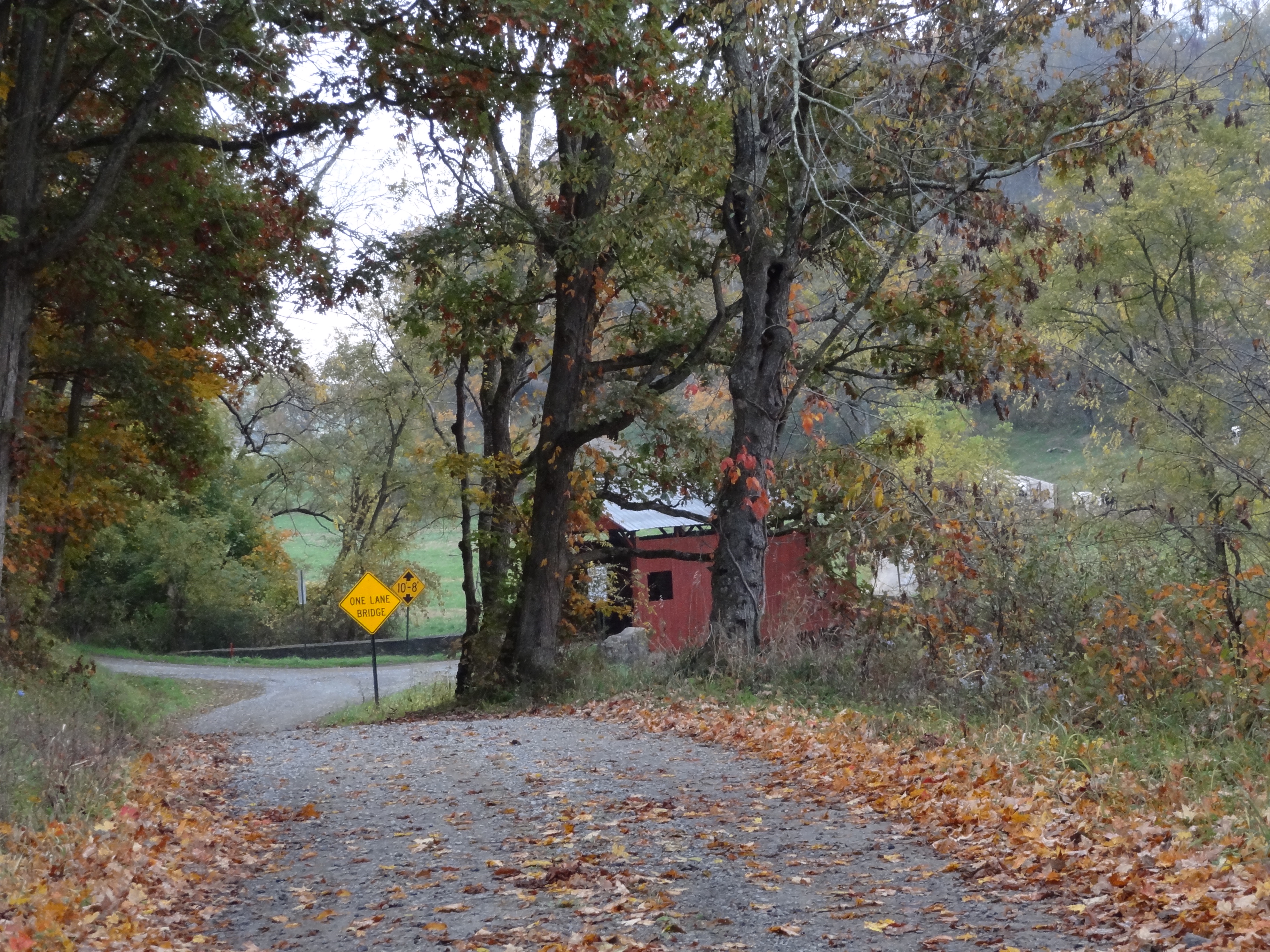
Sprowls Covered Bridge, barrel view, Washington County, PA
Wright Covered Bridge, window view, Washington County, PA
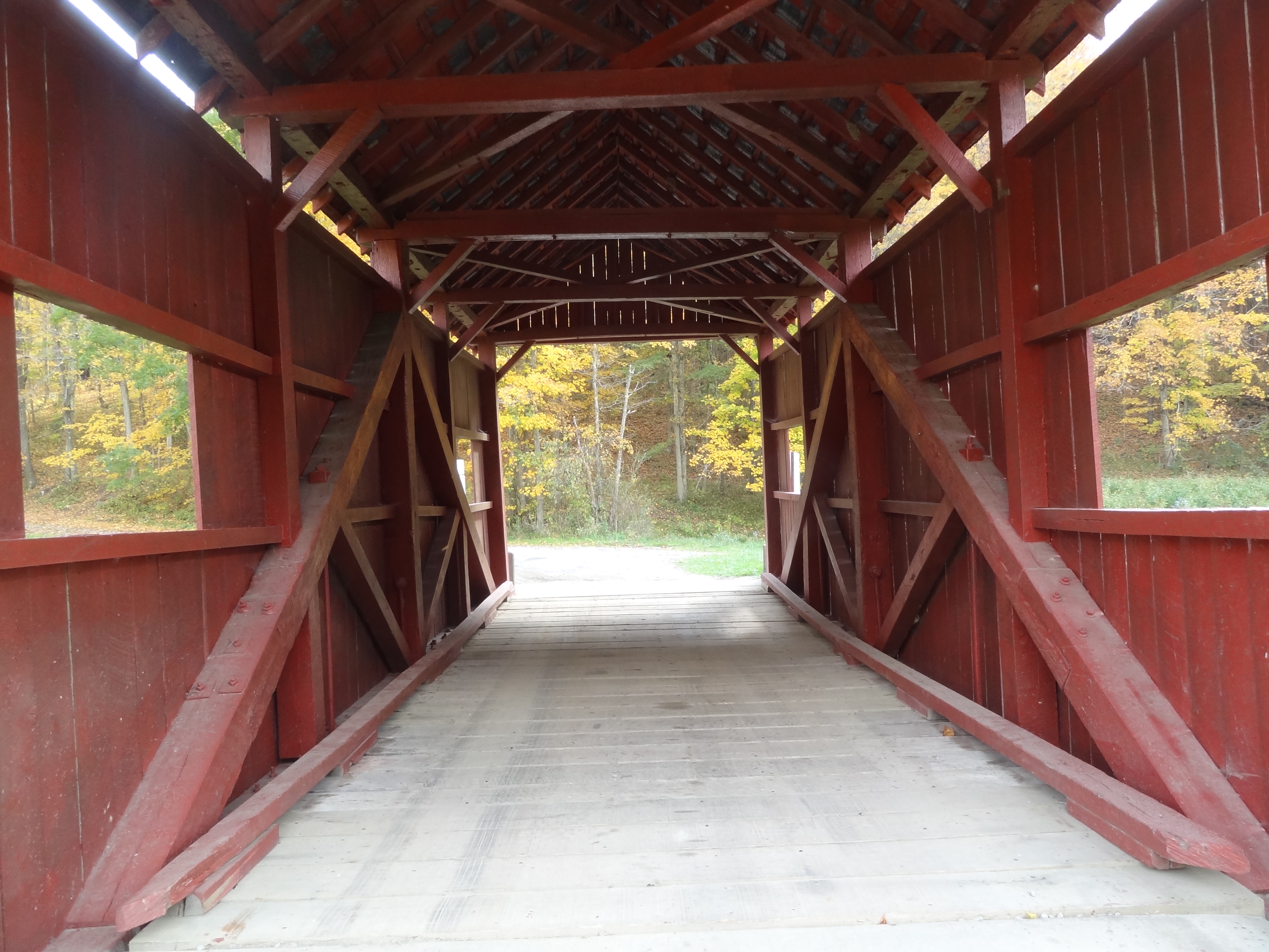
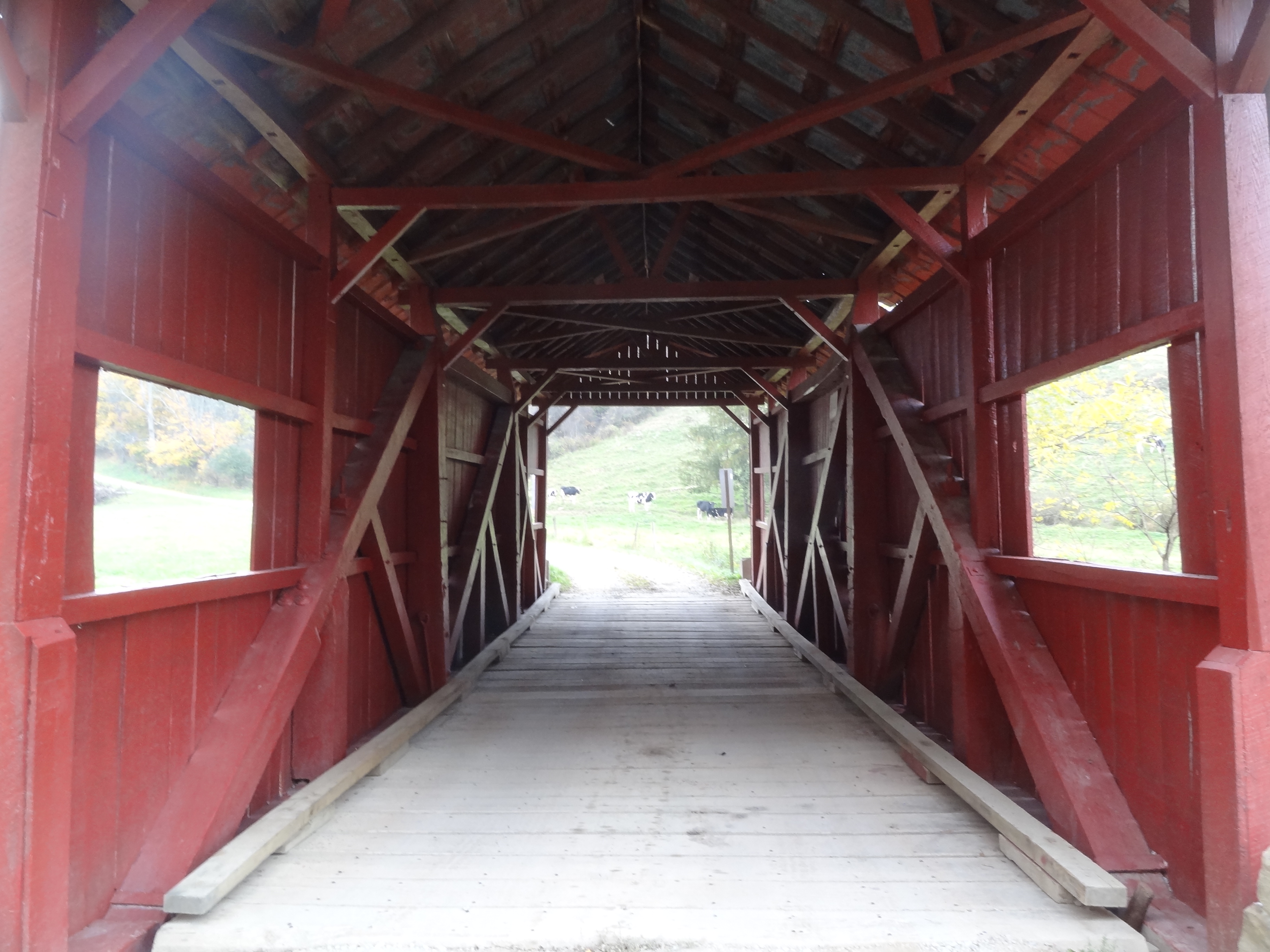
Scott Covered Bridge, barrel view, Greene County, PA
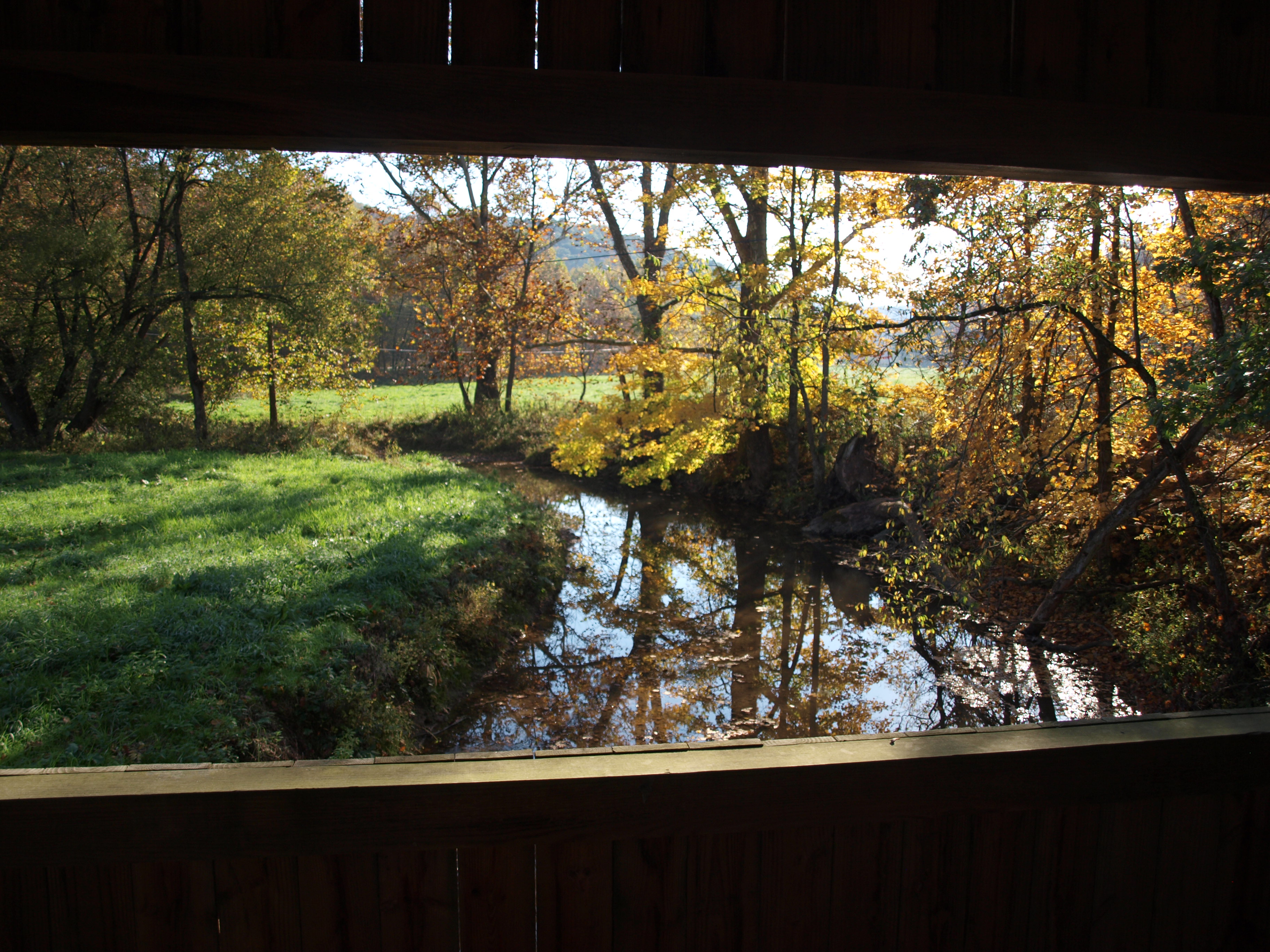
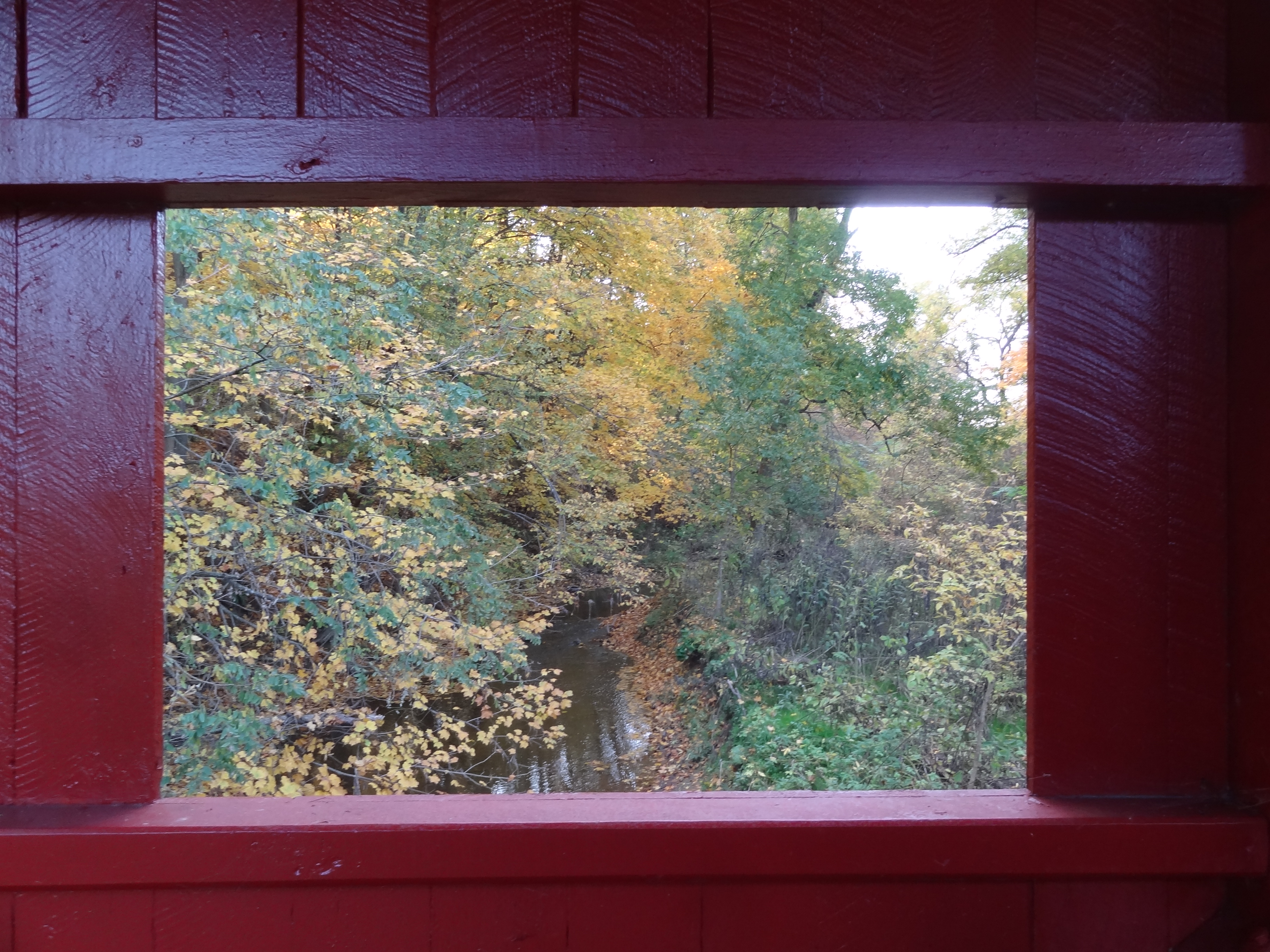
Scott Covered Bridge, creek view, Greene County, PA
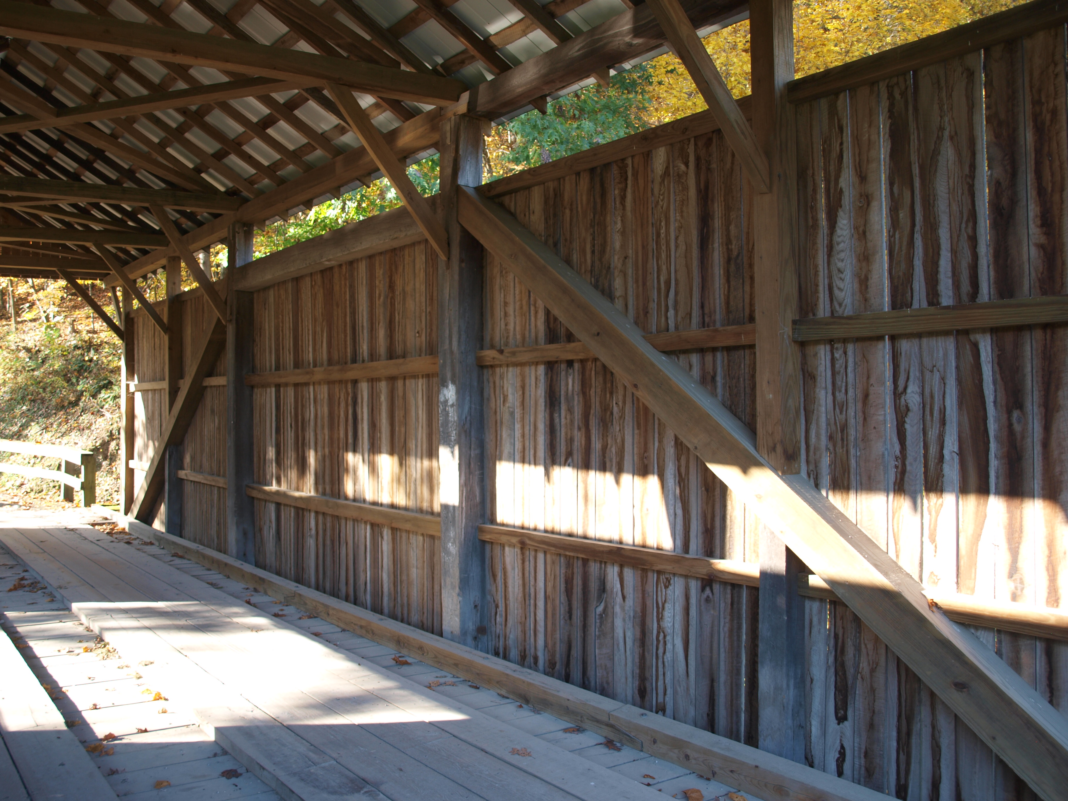
Scott Covered Bridge, truss view, Greene County, PA
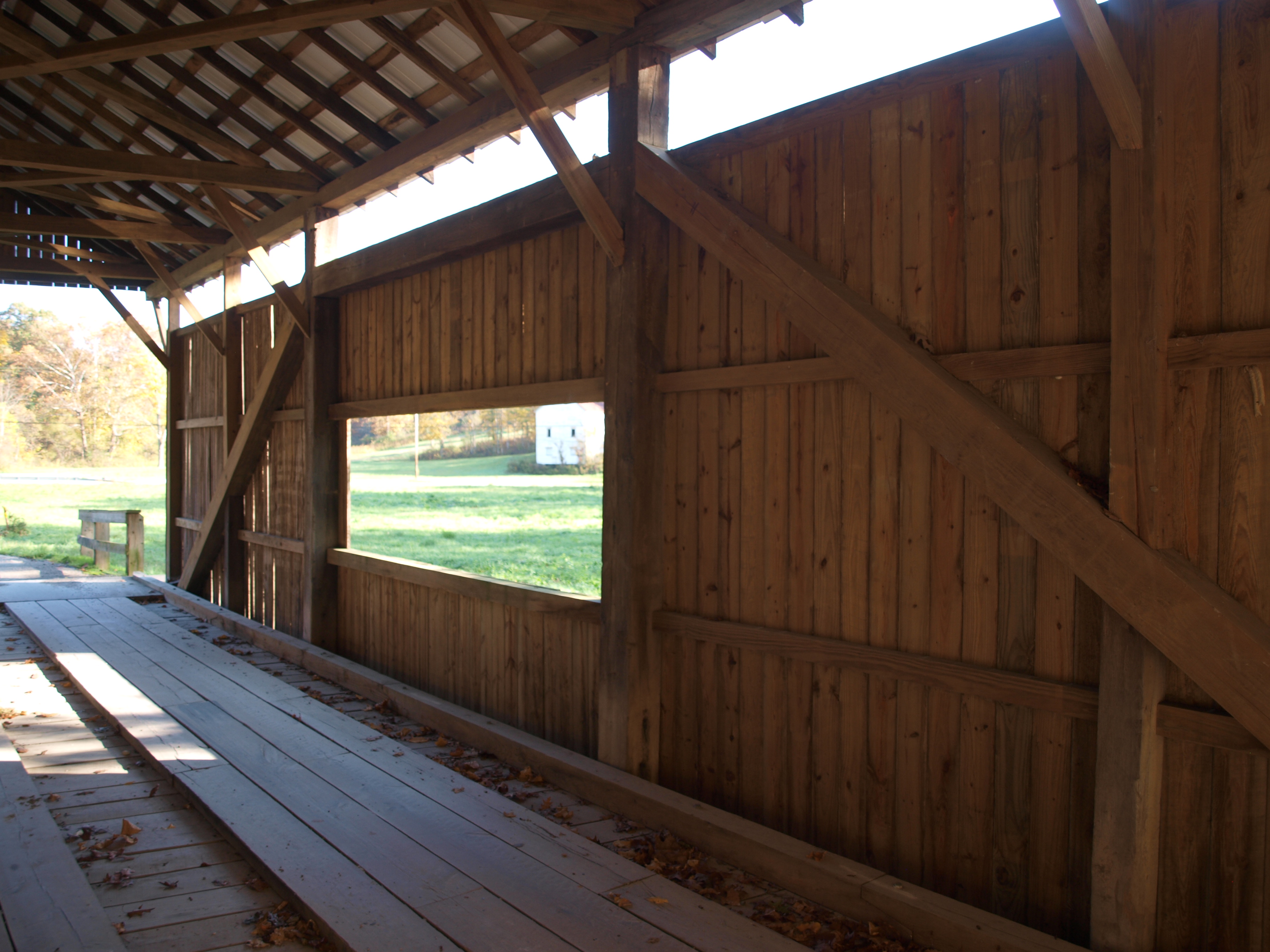
Scott Covered Bridge, window view, Greene County, PA
Plants Covered Bridge, side view, Washington County, PA
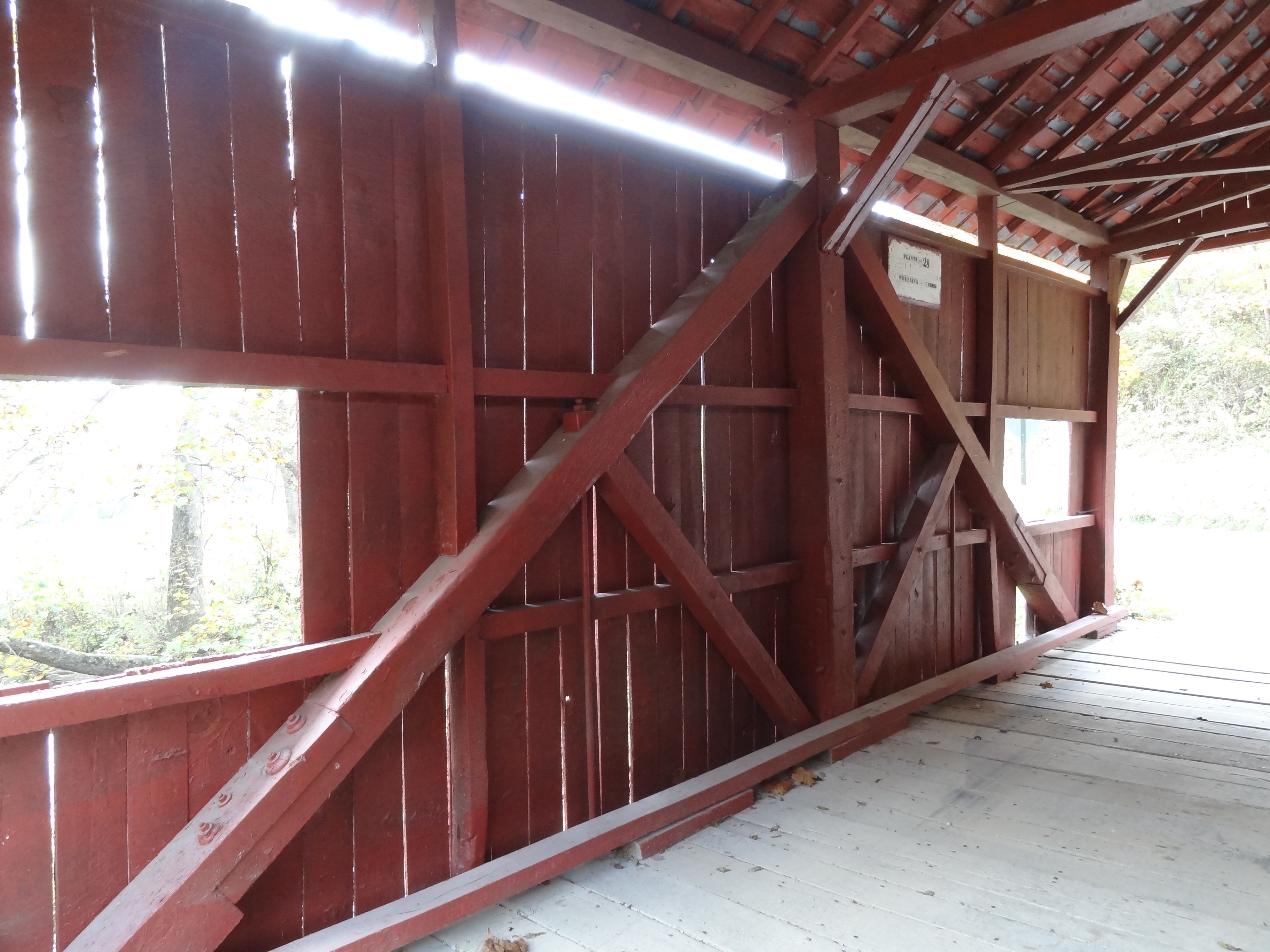
Plants Covered Bridge, truss view, Washington County, PA
Danley Covered Bridge, barrel view, Washington County, PA
Danley Covered Bridge, street view, Washington County, PA

Crawford Covered Bridge creek view, Washington Co, PA

Crawford Covered Bridge creek view, Washington Co, PA (2)

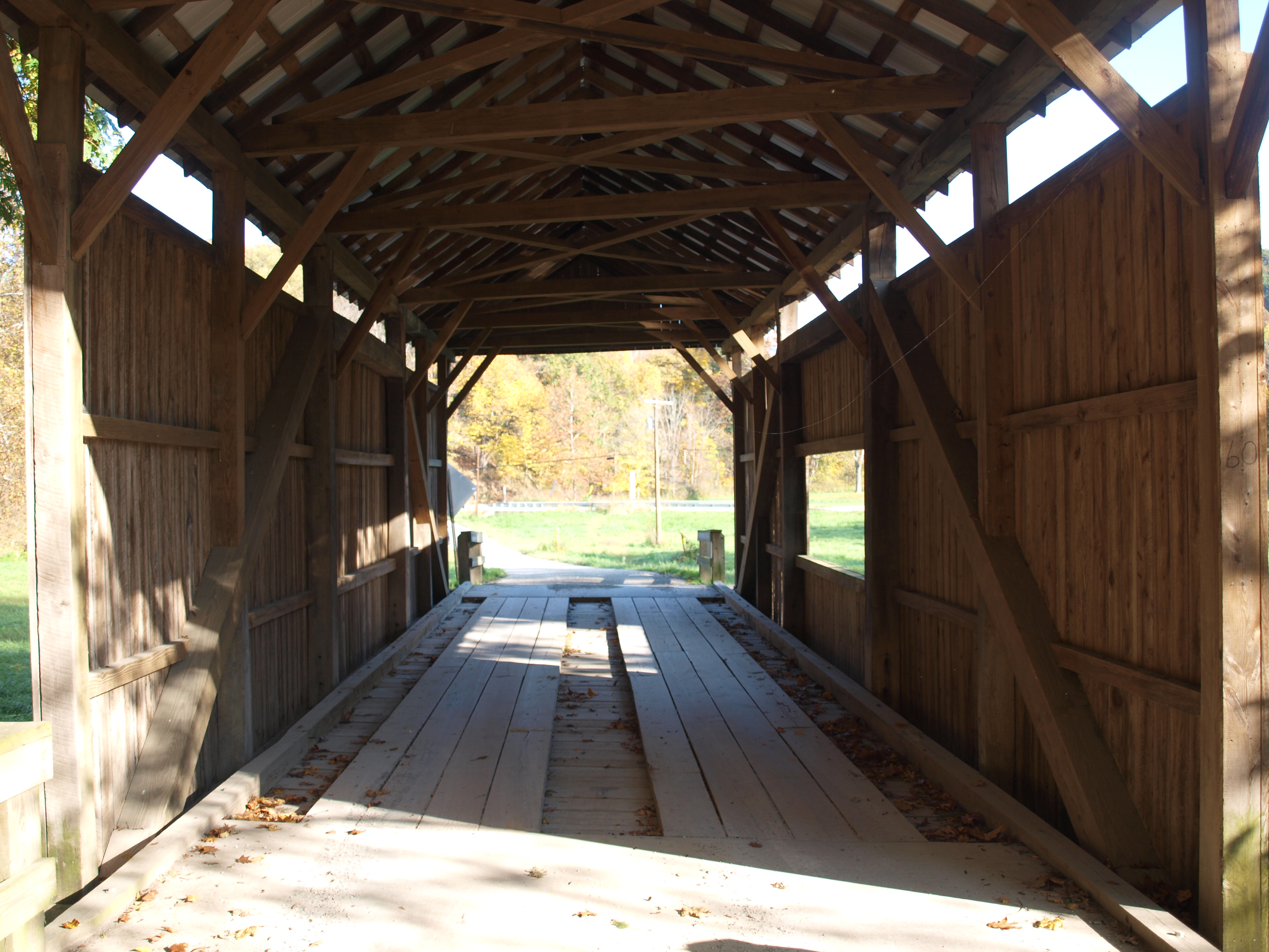
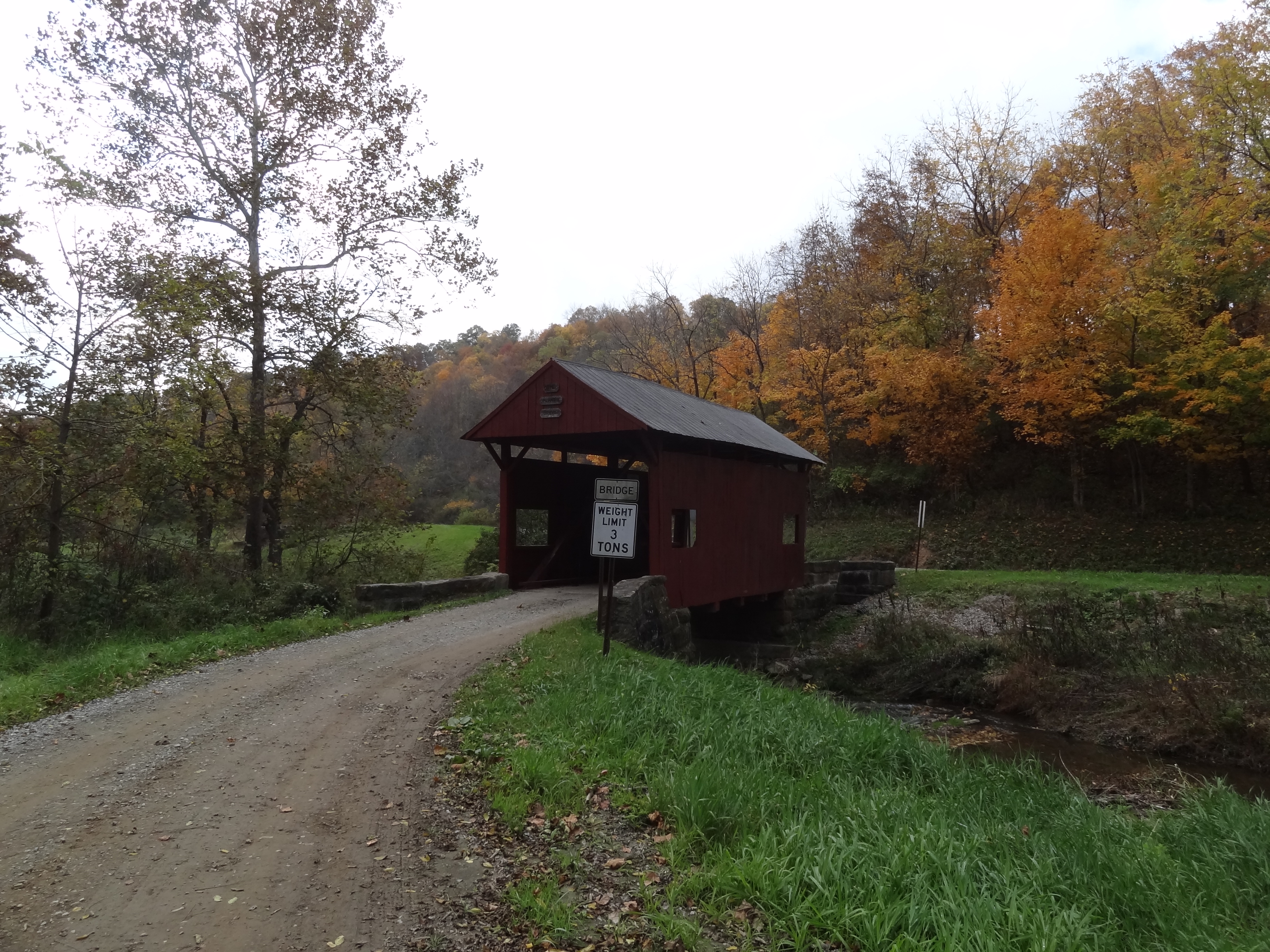
Wyit Sprowls Covered Bridge, side view, Washington County, PA

Wyit Sprowls Covered Bridge, truss view, Washington County, PA

Chess Cemetery

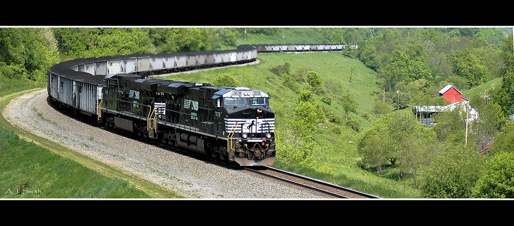
Coal at Time

Purple Aster
Along the MGA
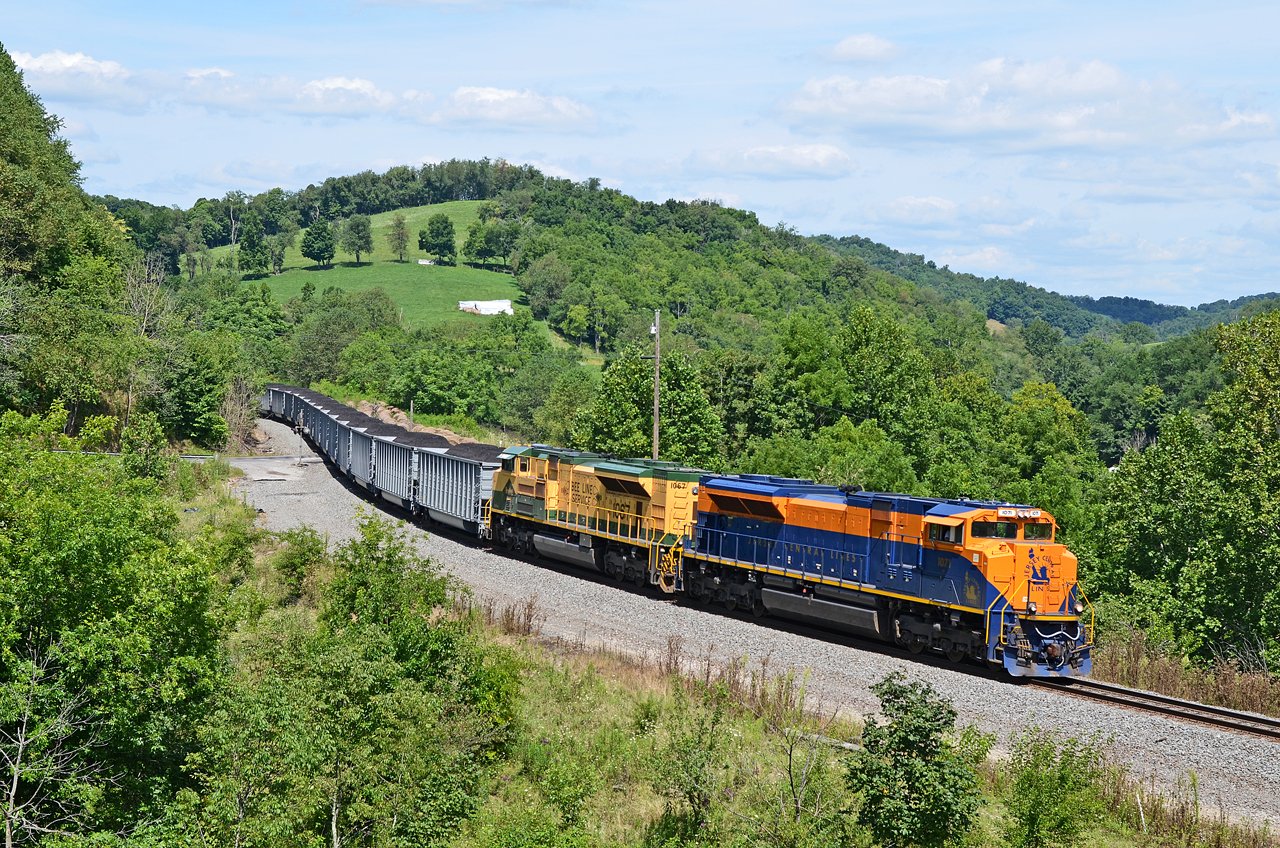
CNJ-RDG SD70ACe-1071, 1067 N/B N-24 at West Run Rd., Sycamore, PA

Jacktown Fair Grounds
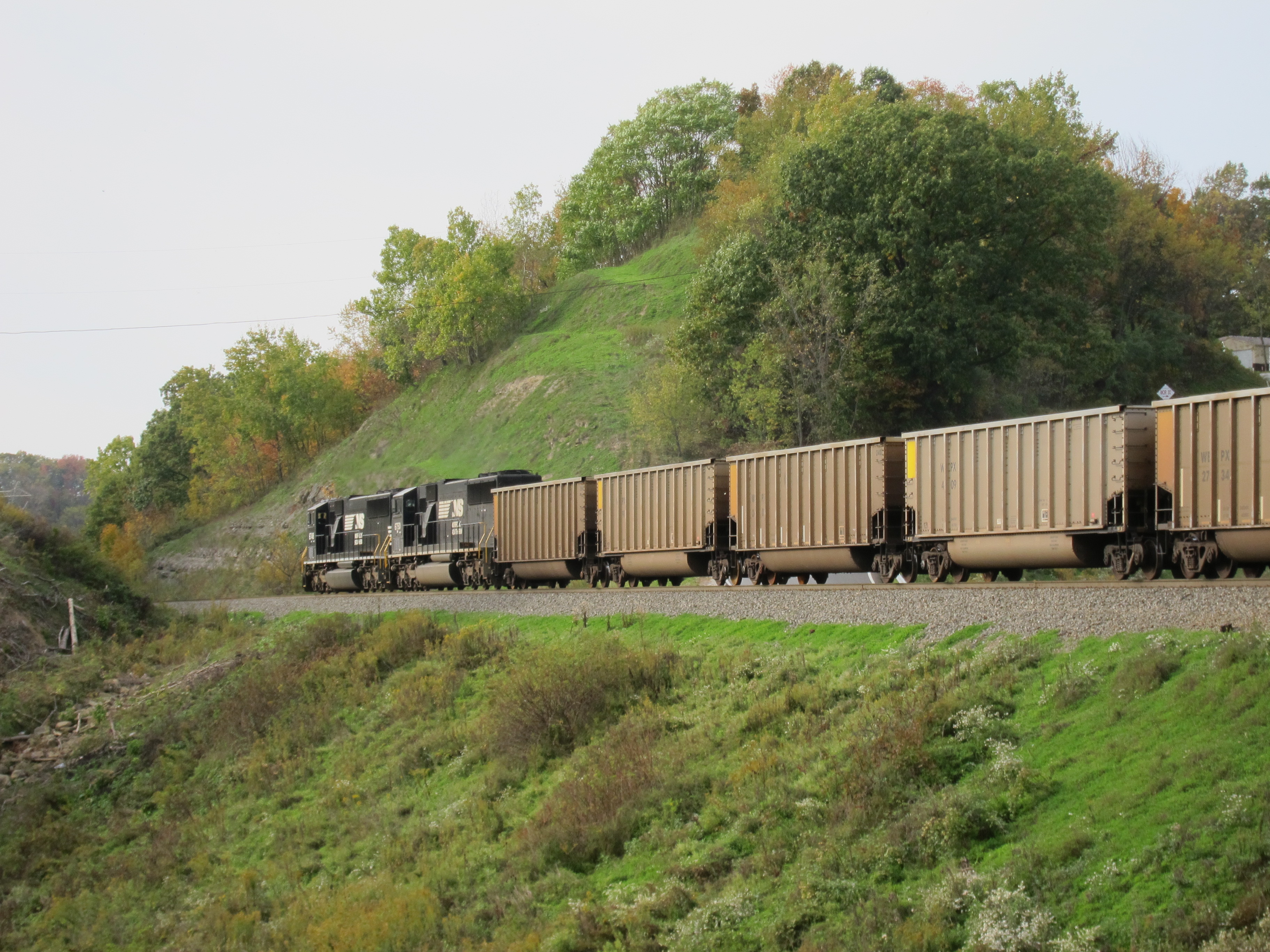
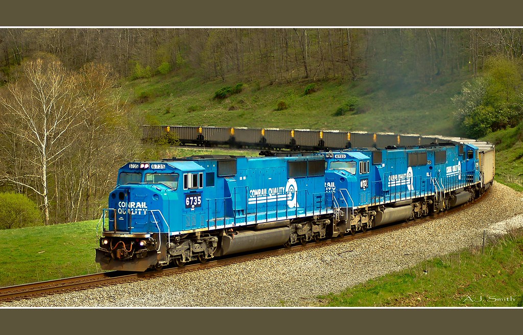
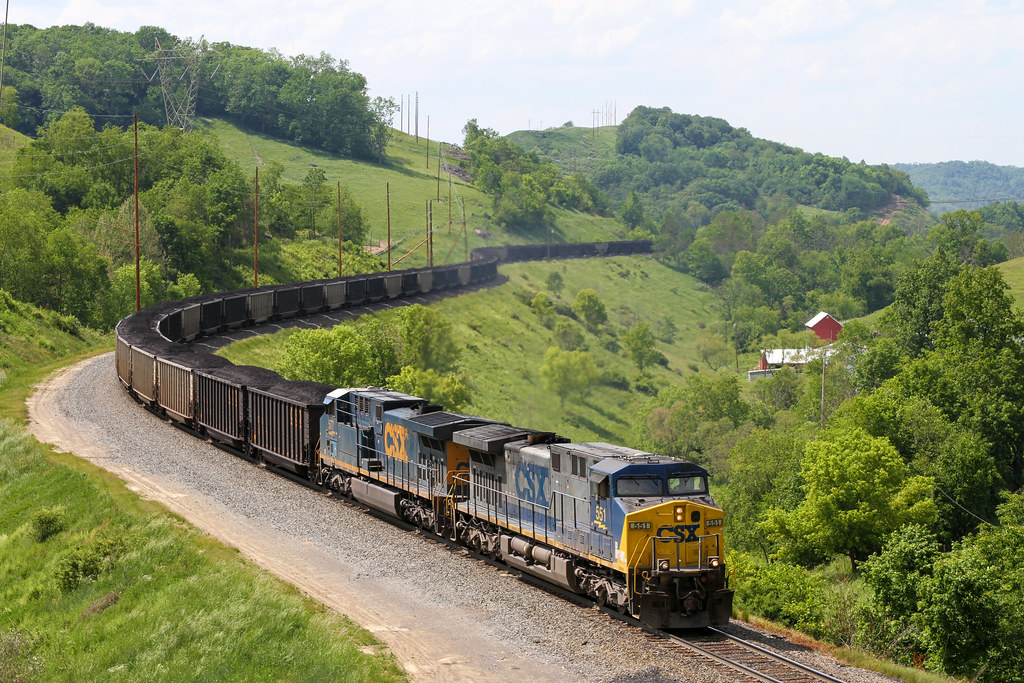
Coal Train

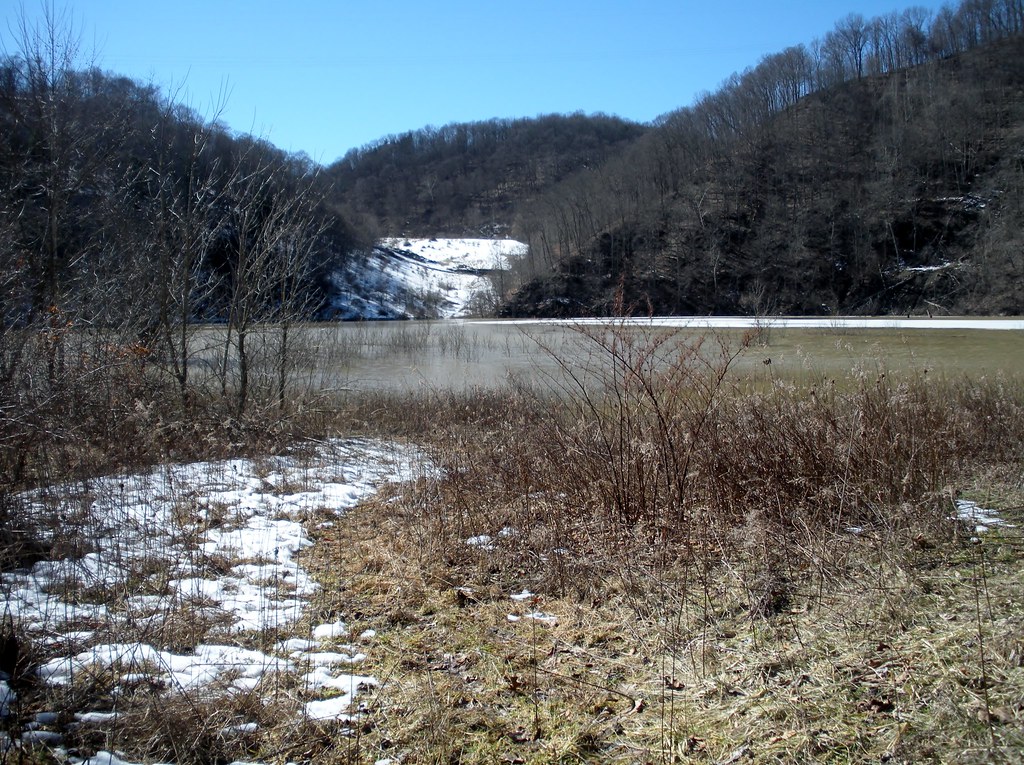
Old creek road

Four Seasons Resort (fall is my fave)!
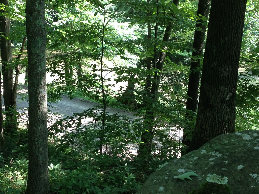
Crows' Rock and Crow Creek

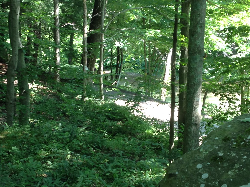
Penn's Woods
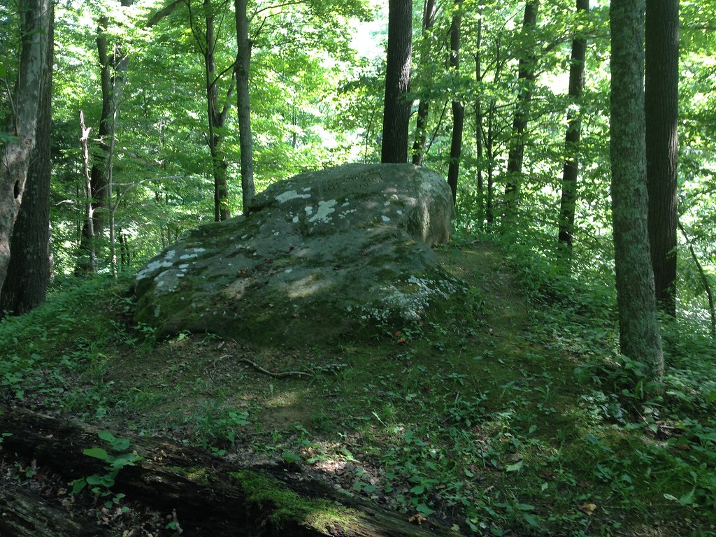
Crows' Rock

Pipeline Right-of-Way

Crows' Rock: looking west

Columbia Gas Well

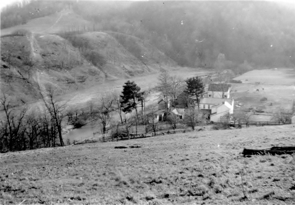
Site of Farmhouse
Crows' Rock: looking east
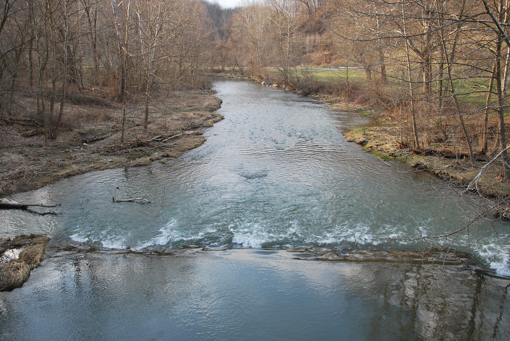
Enlow Fork Wheeling Creek
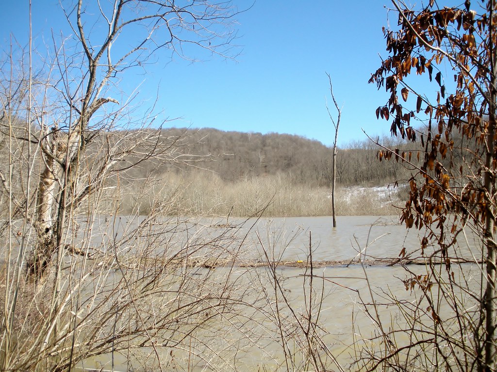
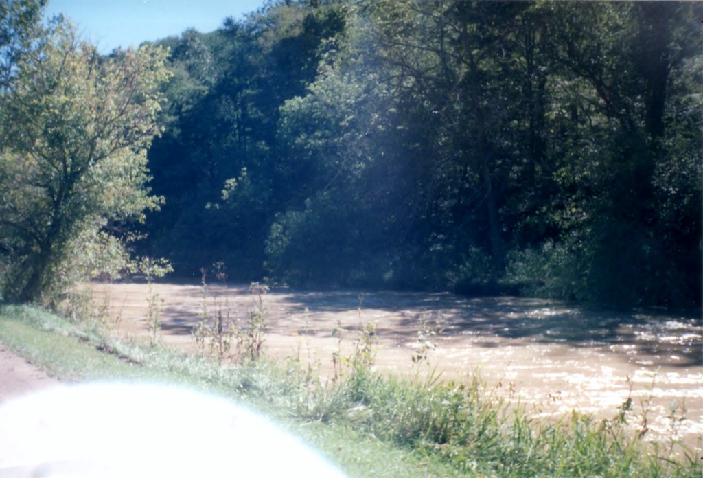
Flooded bottom ground
Gas company road
Topographic Map of Graysville, PA, USA
Find elevation by address:

Places in Graysville, PA, USA:
Places near Graysville, PA, USA:
Wind Ridge
Richhill Township
Walker Hill Road
Ryerson Station State Park
Finch Road
Morris Township
35 Rocky Run Rd, West Finley, PA, USA
Center Township
West Finley
Mcquay Road
Golden Oaks Rd, Holbrook, PA, USA
790 Sr3037
Stockdale School Road
East Finley Township
Aleppo
West Finley Township
Jacobs Rd, Wind Ridge, PA, USA
236 Clovis Ridge Rd
Fleming Hollow Road
W W Rd, Sycamore, PA, USA
Recent Searches:
- Elevation of Congressional Dr, Stevensville, MD, USA
- Elevation of Bellview Rd, McLean, VA, USA
- Elevation of Stage Island Rd, Chatham, MA, USA
- Elevation of Shibuya Scramble Crossing, 21 Udagawacho, Shibuya City, Tokyo -, Japan
- Elevation of Jadagoniai, Kaunas District Municipality, Lithuania
- Elevation of Pagonija rock, Kranto 7-oji g. 8"N, Kaunas, Lithuania
- Elevation of Co Rd 87, Jamestown, CO, USA
- Elevation of Tenjo, Cundinamarca, Colombia
- Elevation of Côte-des-Neiges, Montreal, QC H4A 3J6, Canada
- Elevation of Bobcat Dr, Helena, MT, USA