Elevation of Center Township, PA, USA
Location: United States > Pennsylvania > Greene County >
Longitude: -80.299024
Latitude: 39.8818947
Elevation: 316m / 1037feet
Barometric Pressure: 98KPa
Elevation Map:
Satellite Map:
Related Photos:
Back to Bailey
It's About Time
Pennsylvania ~ Rogersville
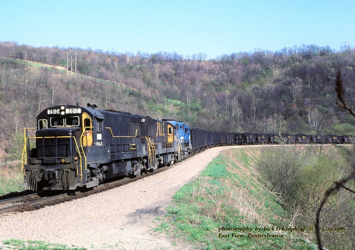
PLE 2812-2818-2039, East View, PA. 4-23-1986
Bridge Side View 10-21-2007 Photo
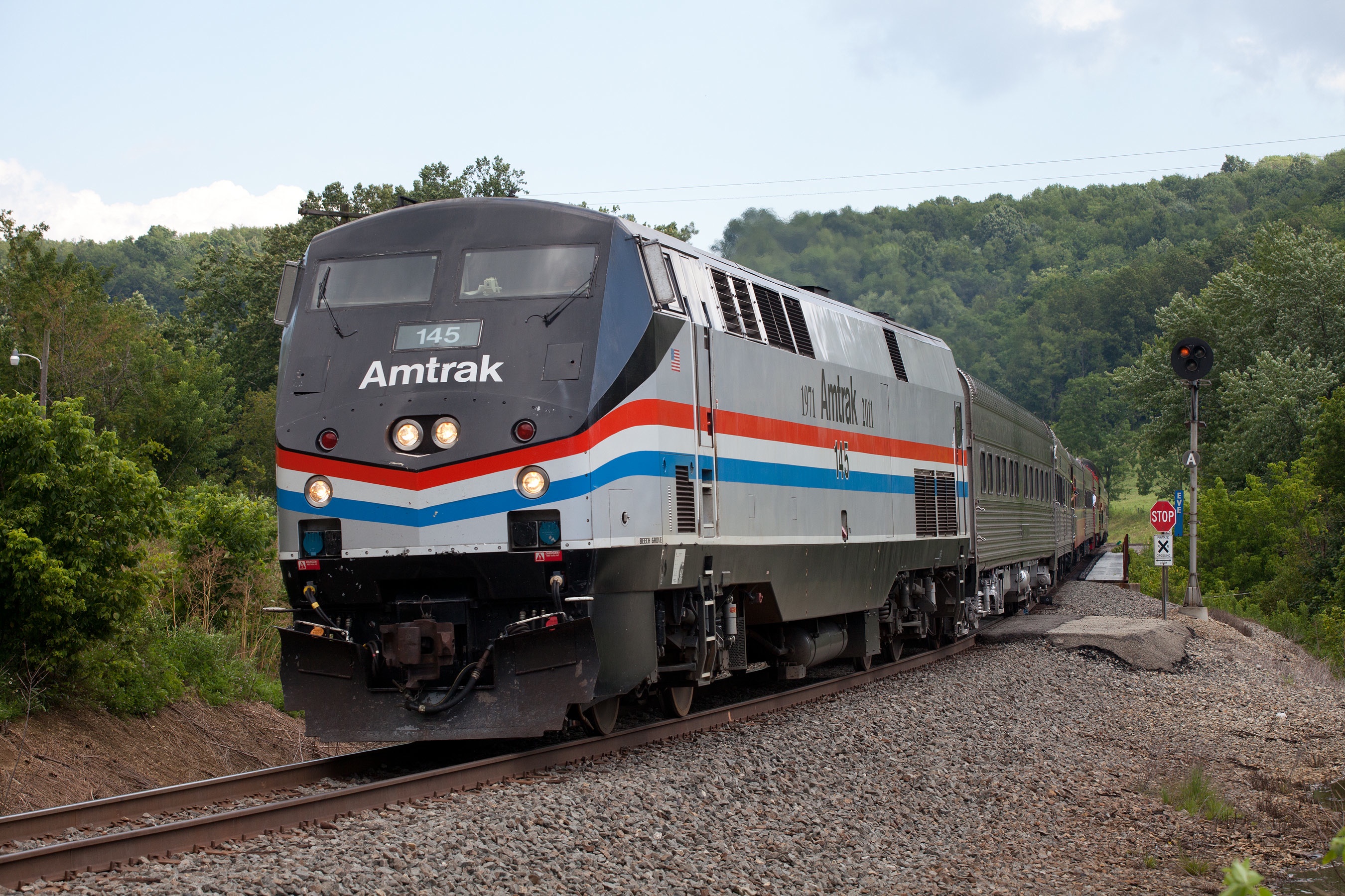
Amtrak 145 at EVE (East View)
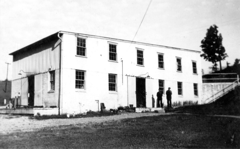
Waynesburg Warehouse
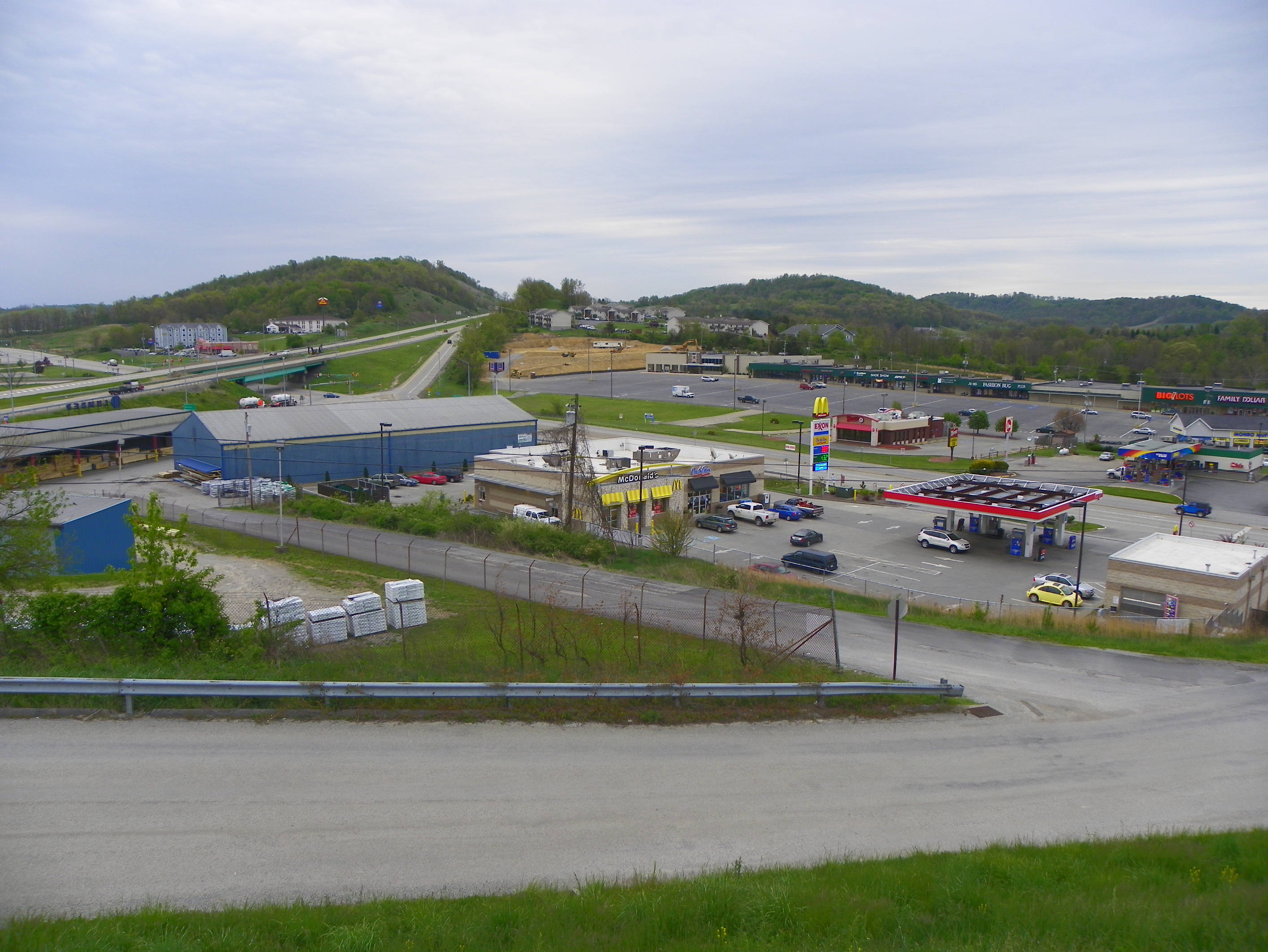
View from our Room at the Econo Lodge
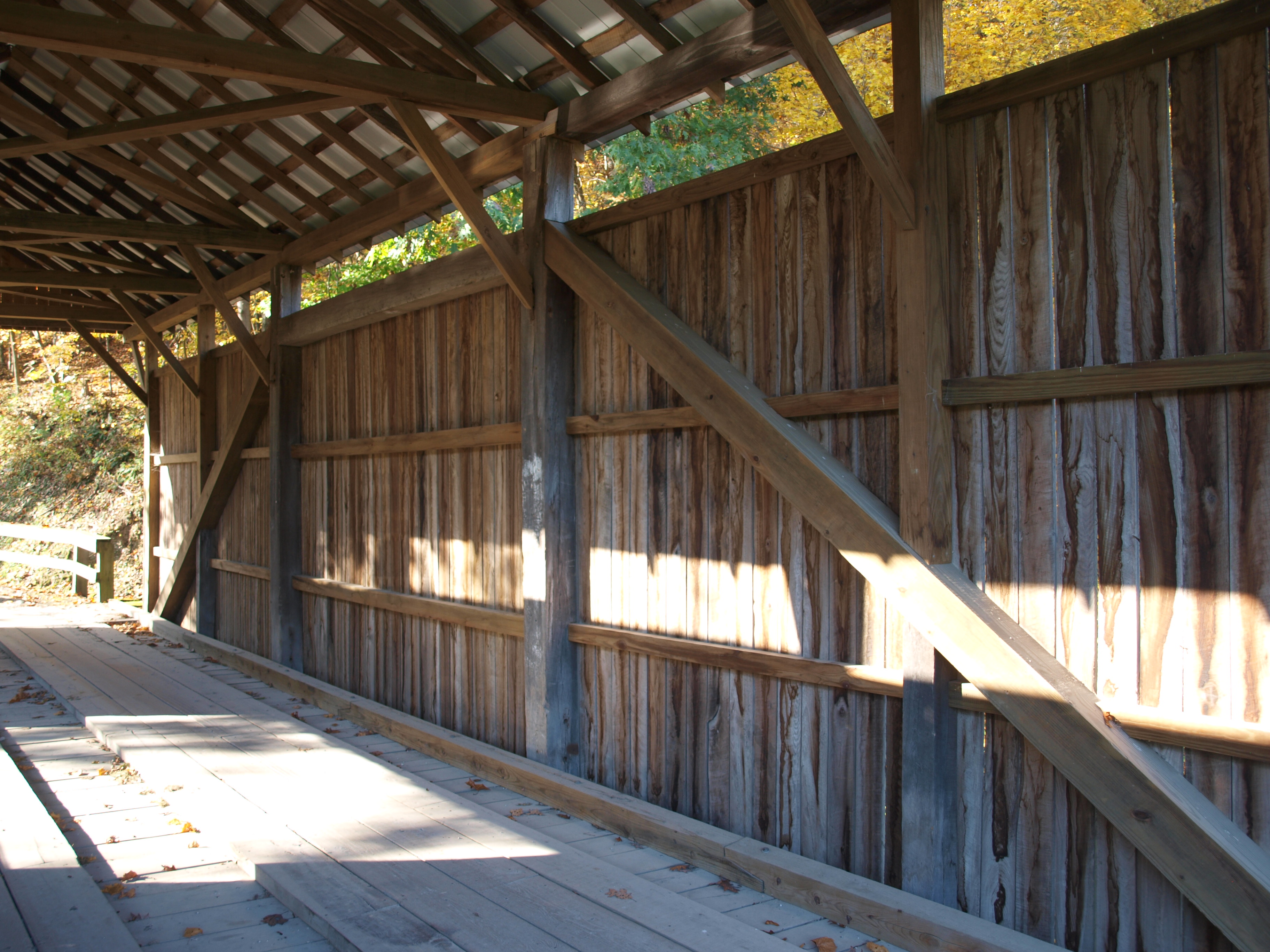
Woods Covered Bridge, truss view, Greene County, PA
Woods Covered Bridge, barrel view, Greene County, PA
Woods Covered Bridge, side view, Greene County, PA
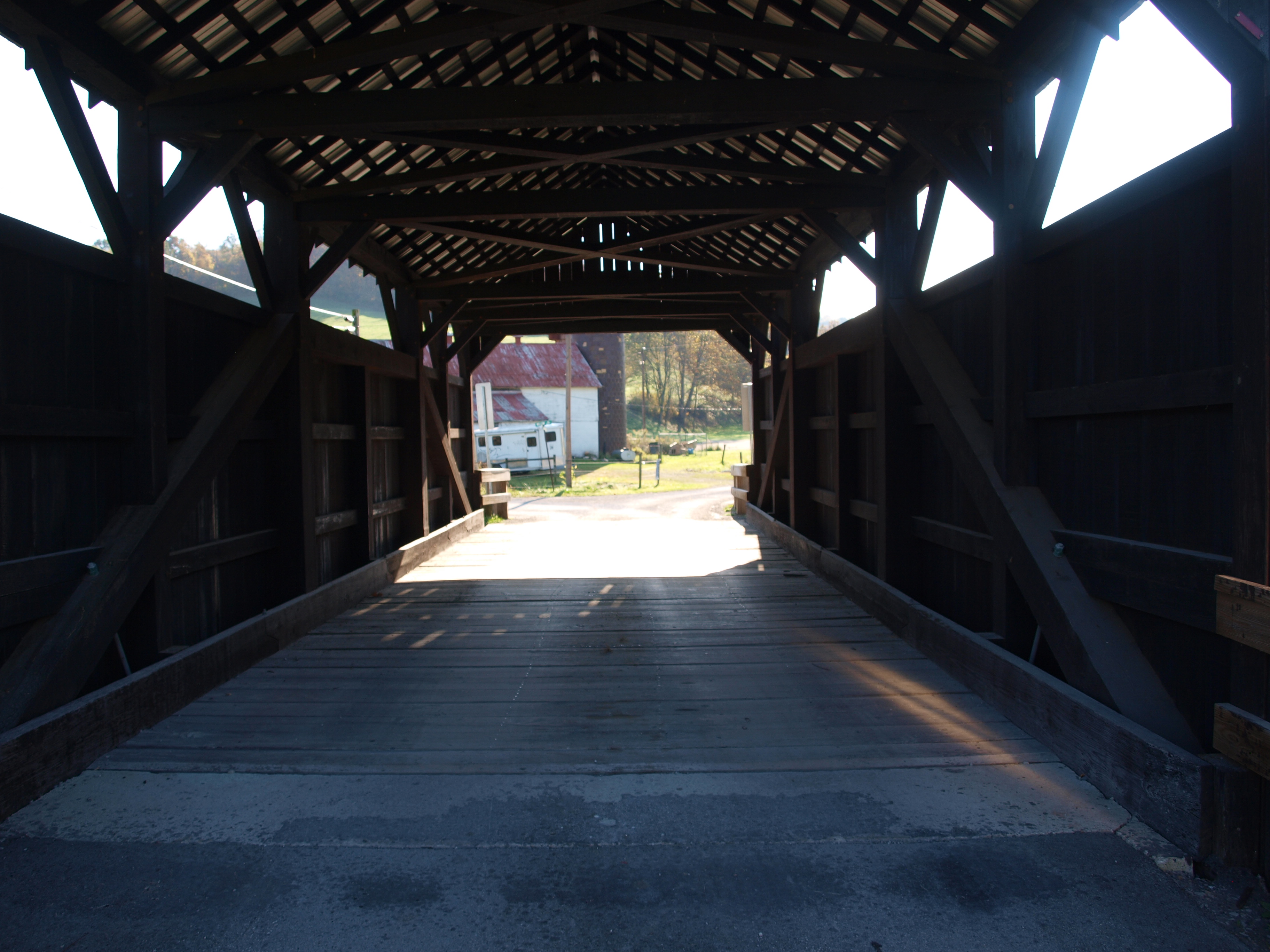
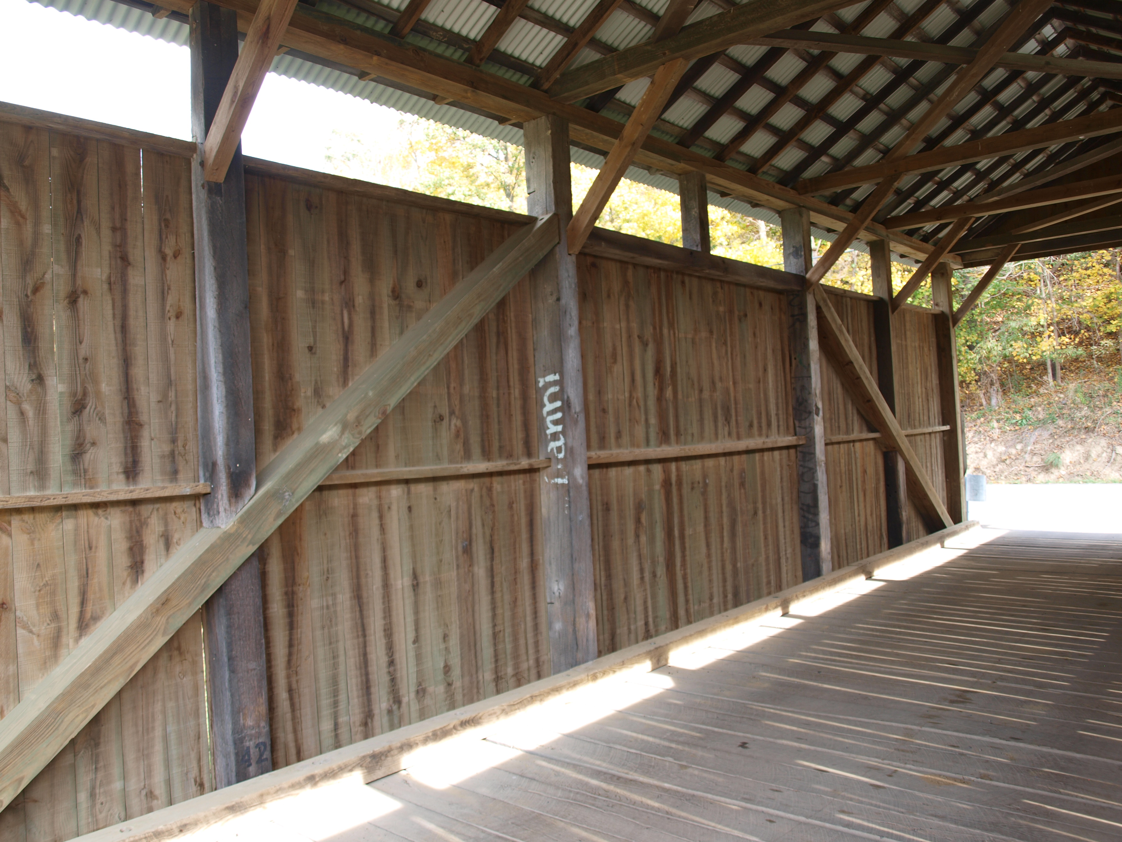
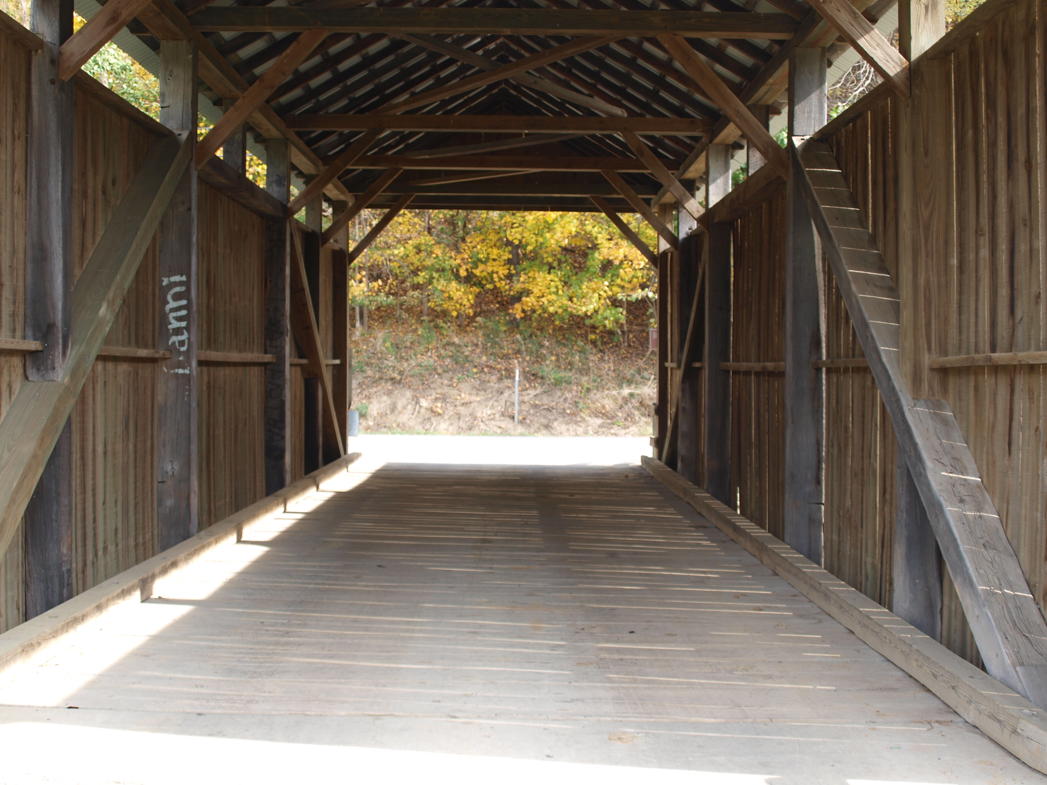
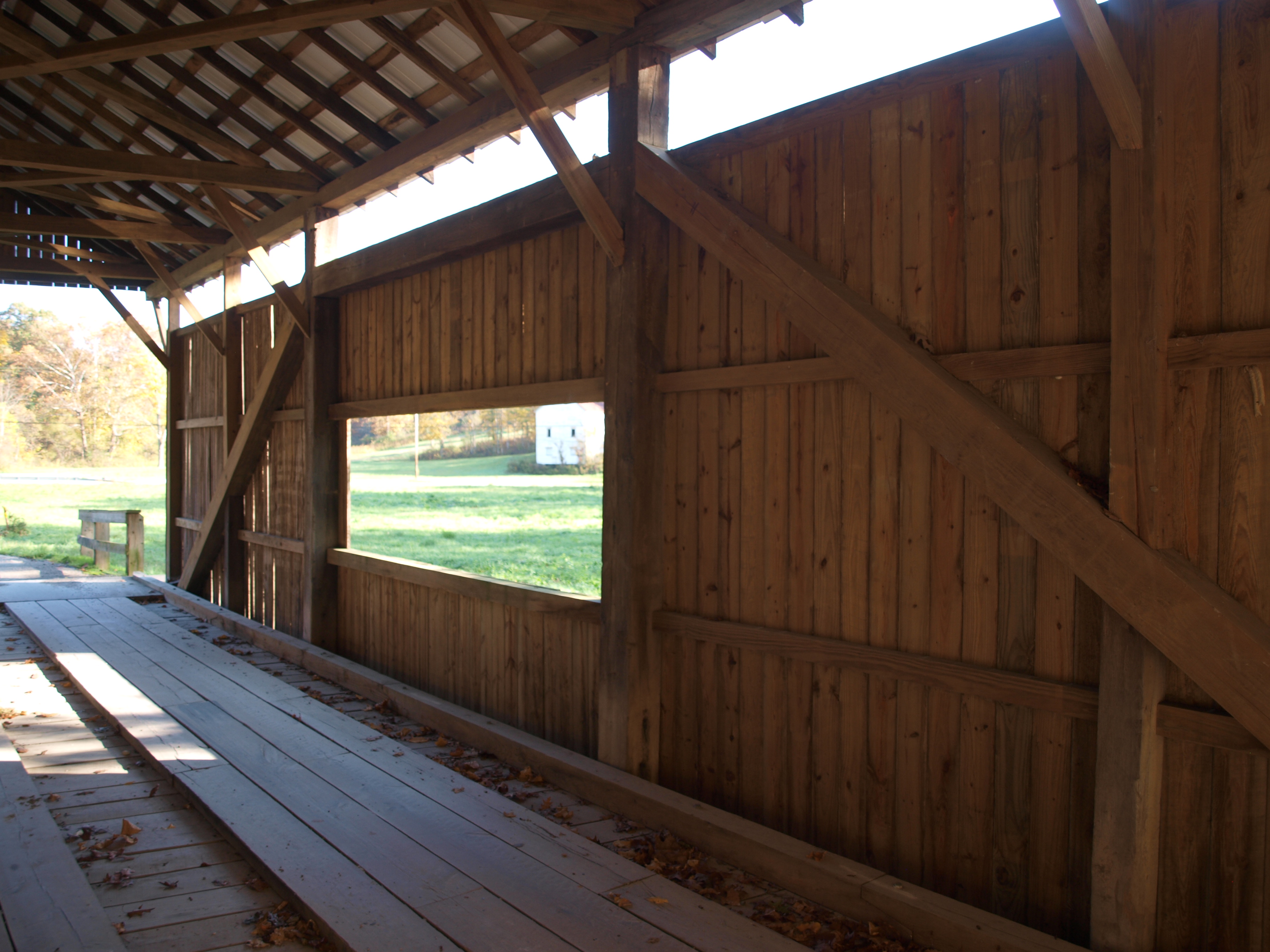
Shriver Covered Bridge, barrel view, Greene County, PA
Shriver Covered Bridge, side view, Greene County, PA
Shriver Covered Bridge, truss view, Greene County, PA
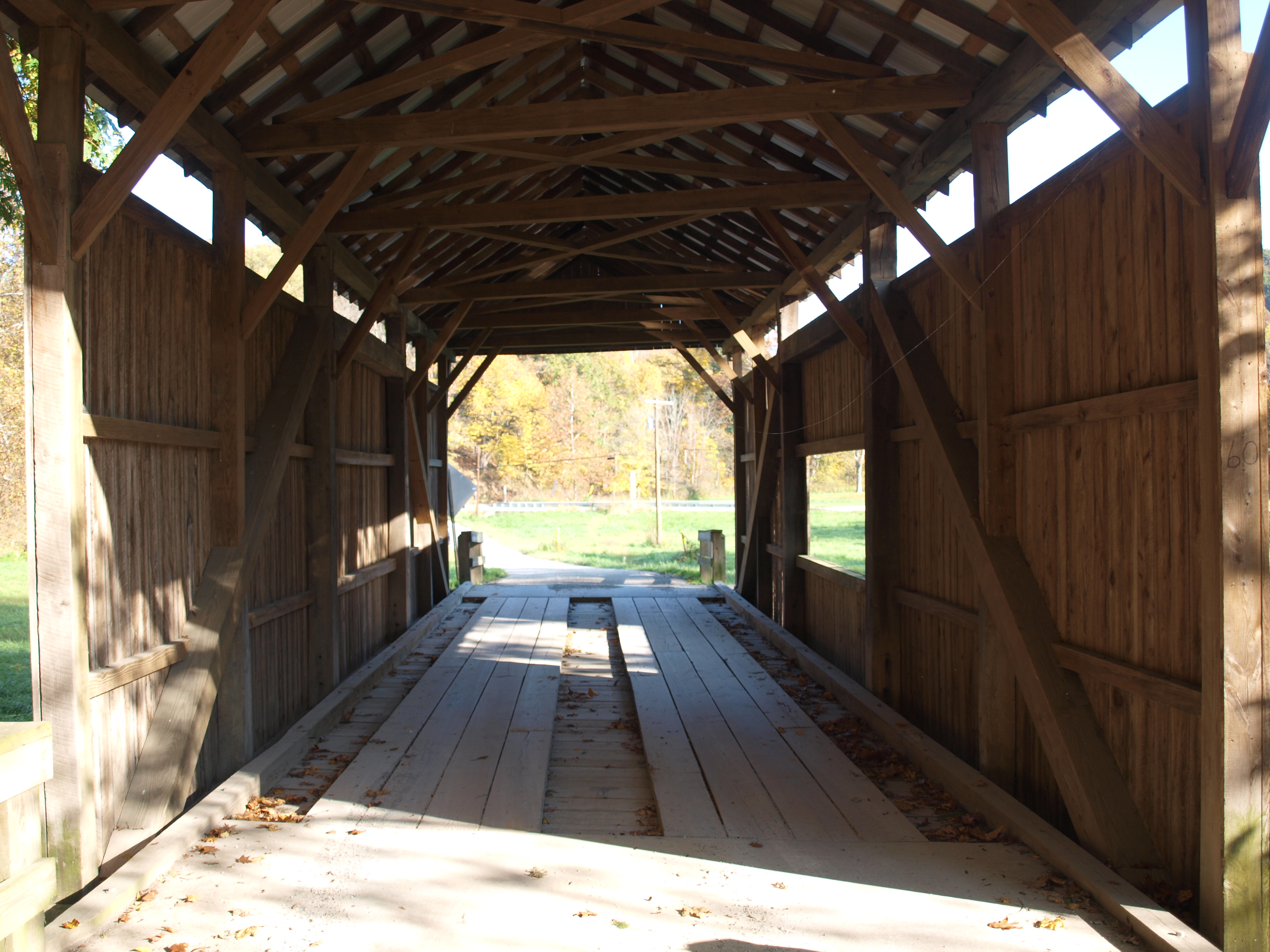
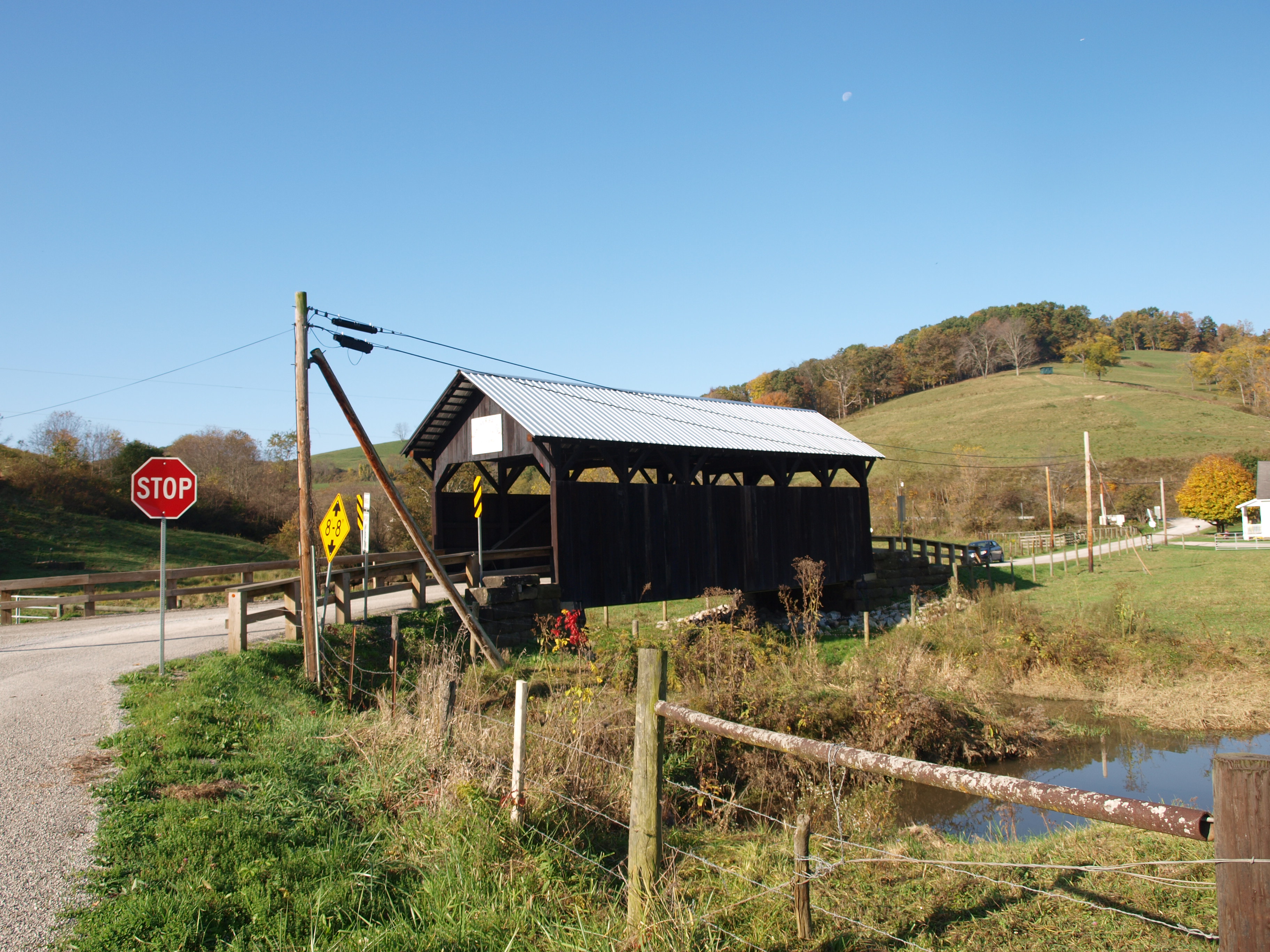
Scott Covered Bridge, barrel view, Greene County, PA
Scott Covered Bridge, creek view, Greene County, PA
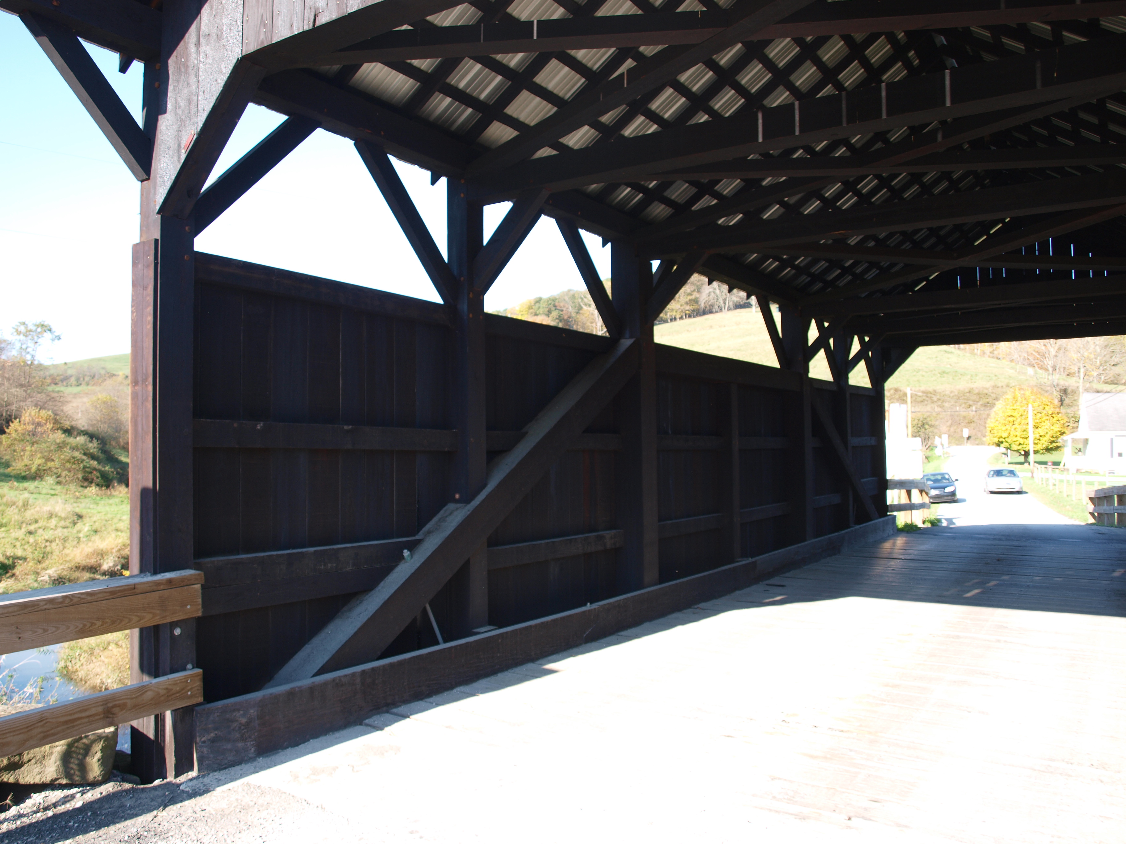
Scott Covered Bridge, truss view, Greene County, PA
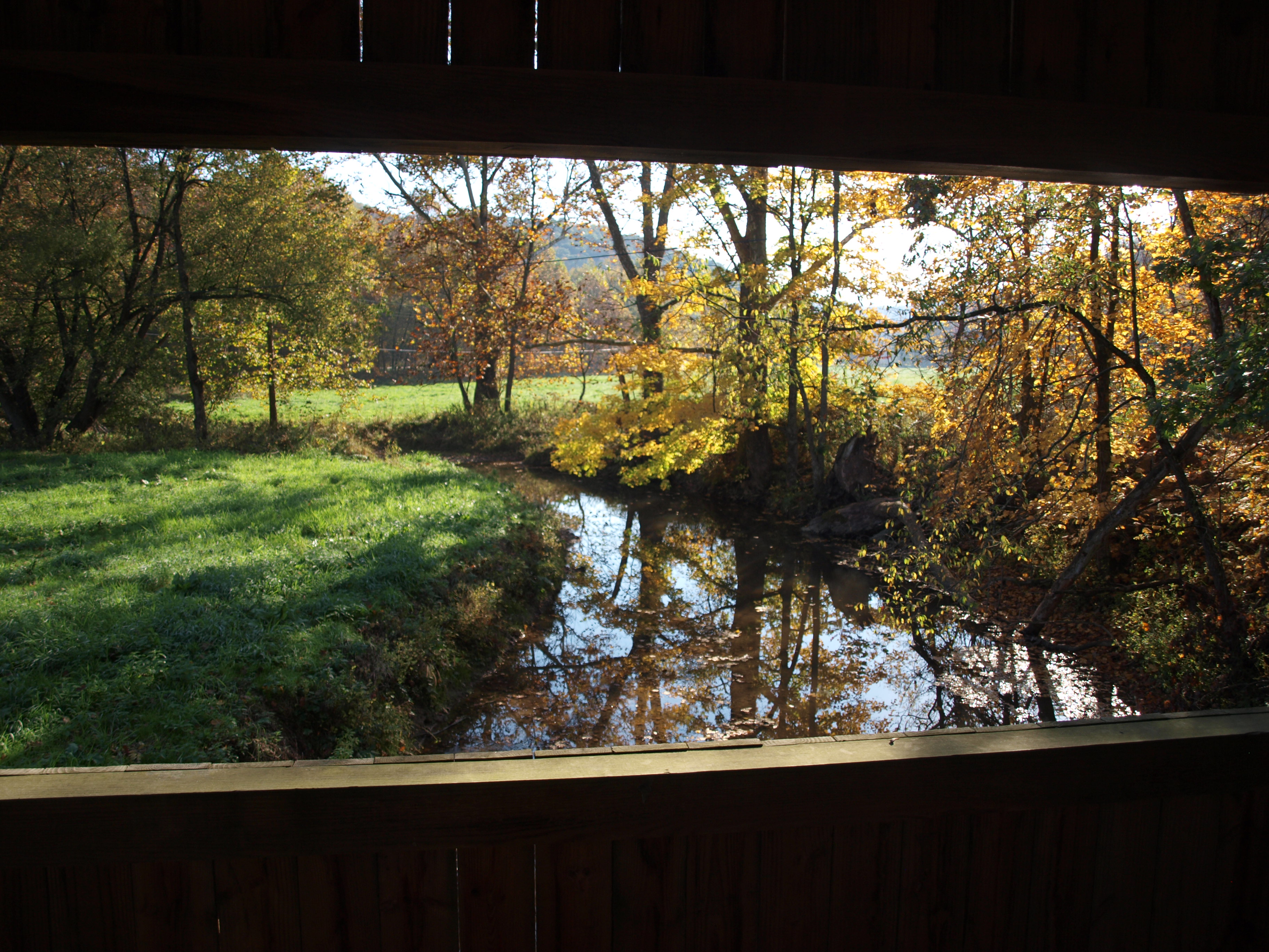
Scott Covered Bridge, window view, Greene County, PA
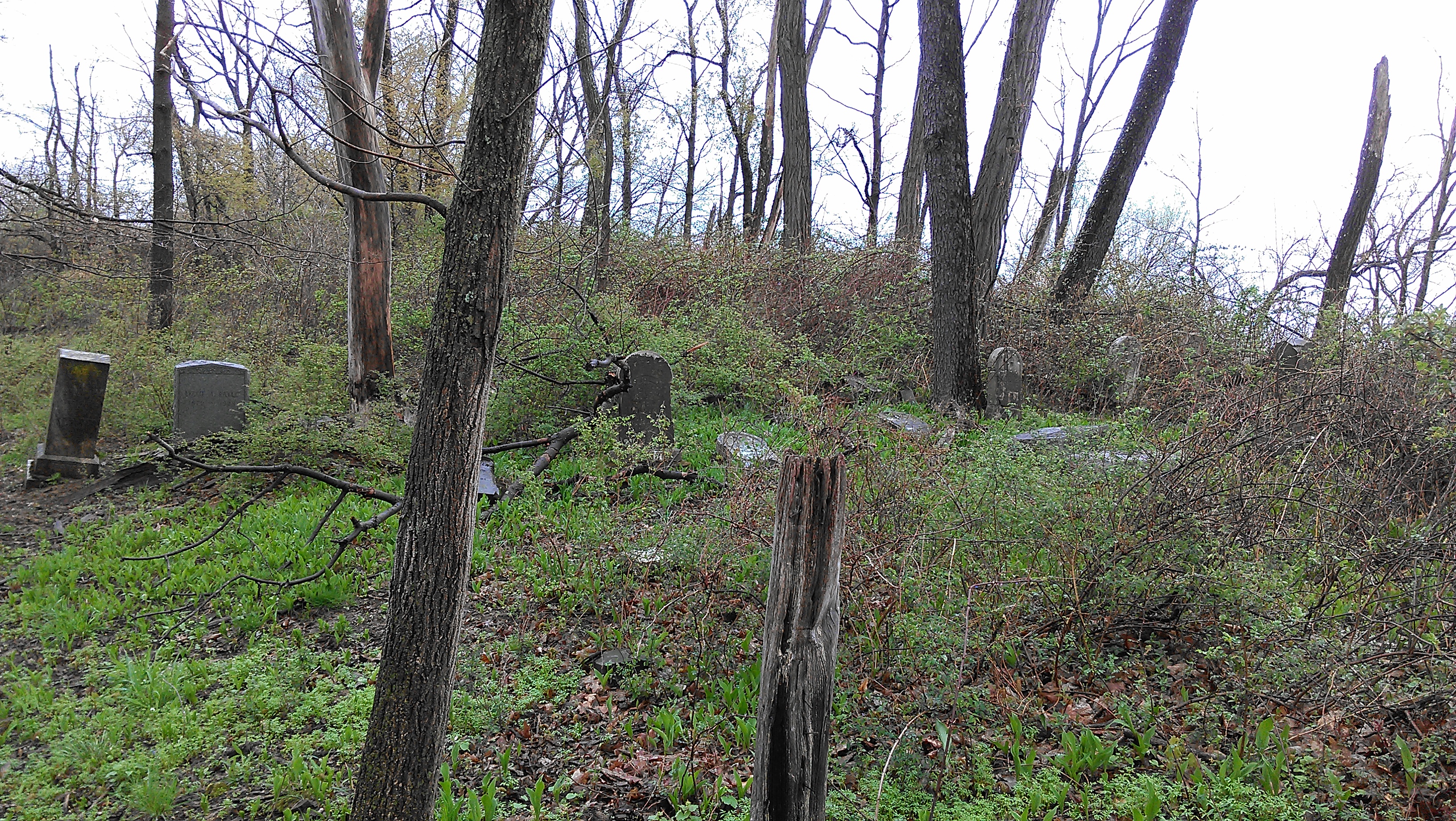
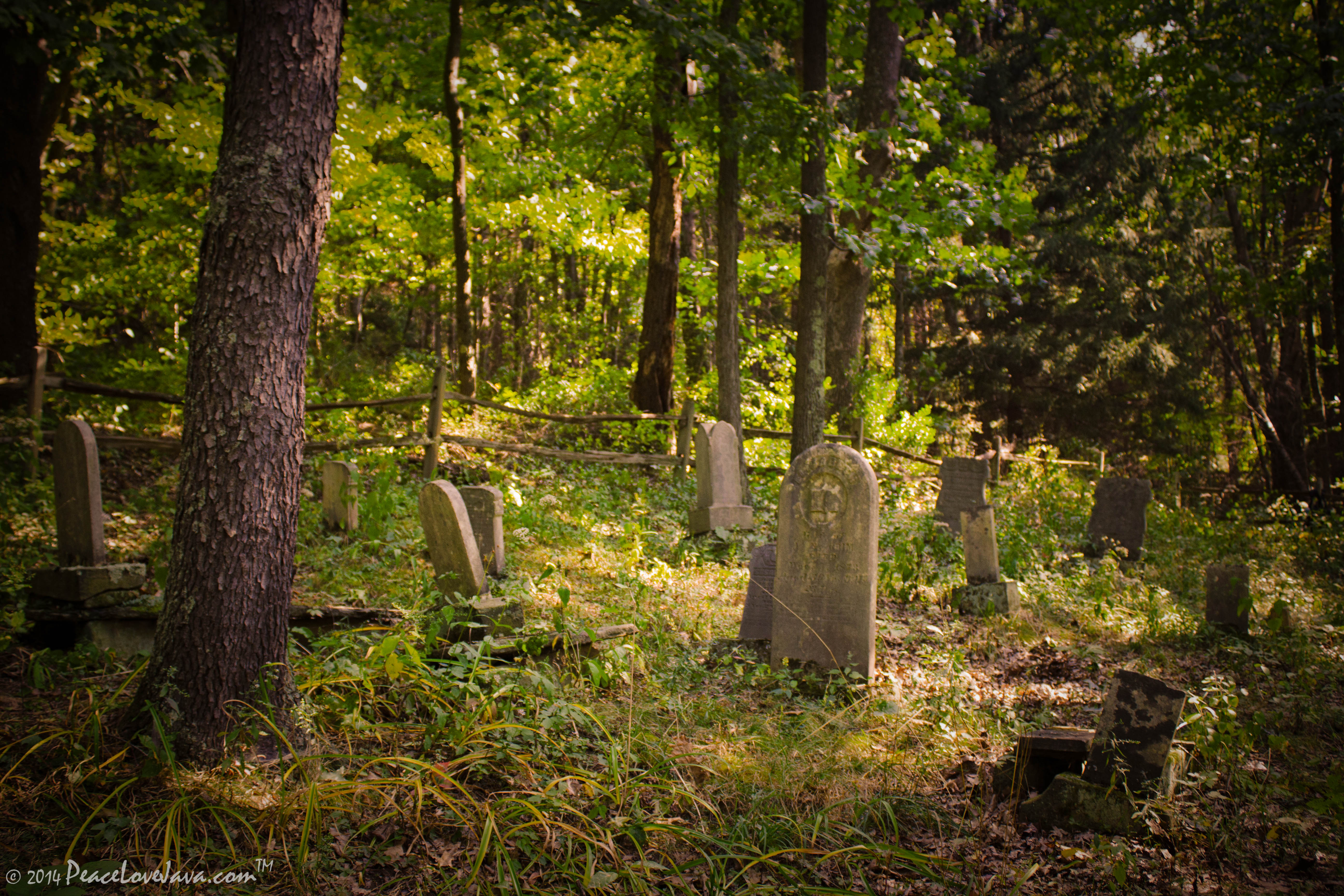
View (approx) WNW from eastern edge of Durbin Cemetery
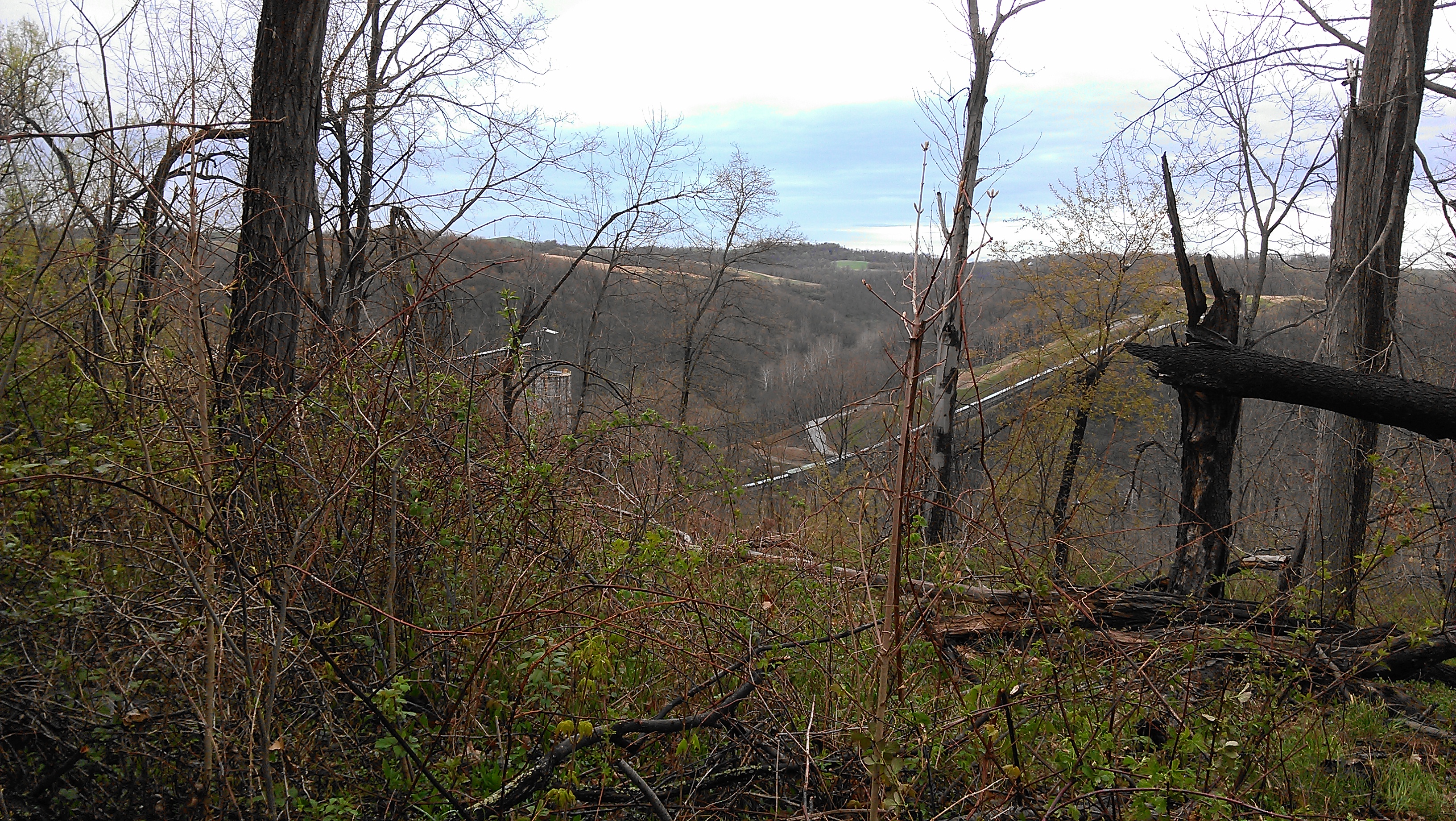
View facing (approx) NNW from Durbin Cemetery
View facing (approx) S in Durbin Cemetery
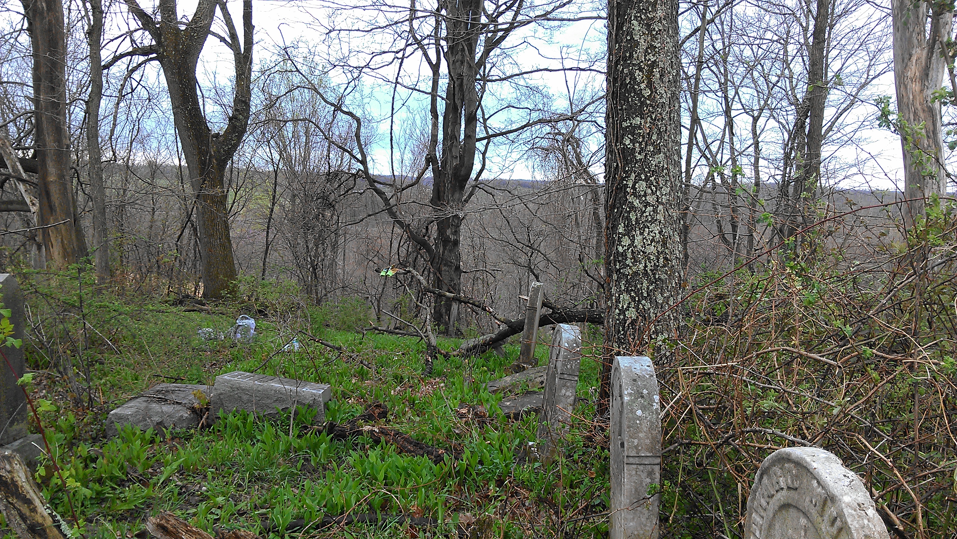
Chess Cemetery

Coal at Time

Curves and Clouds
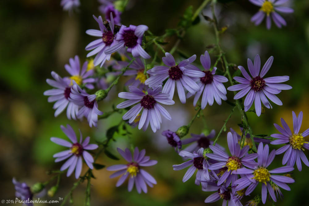
Purple Aster
Along the MGA
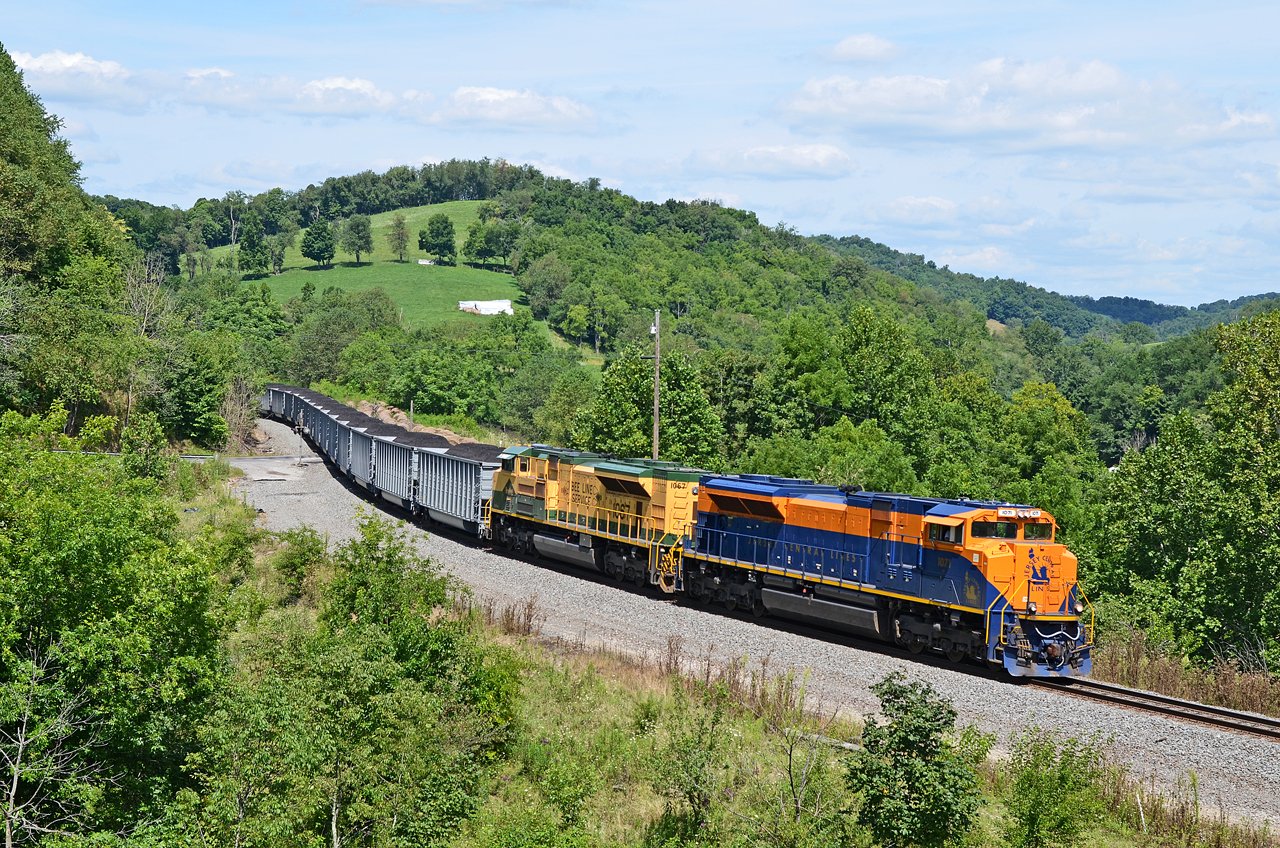
CNJ-RDG SD70ACe-1071, 1067 N/B N-24 at West Run Rd., Sycamore, PA

West Virginia Foliage
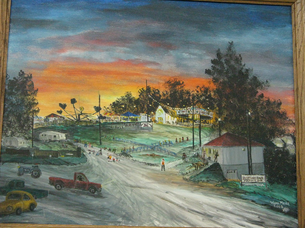
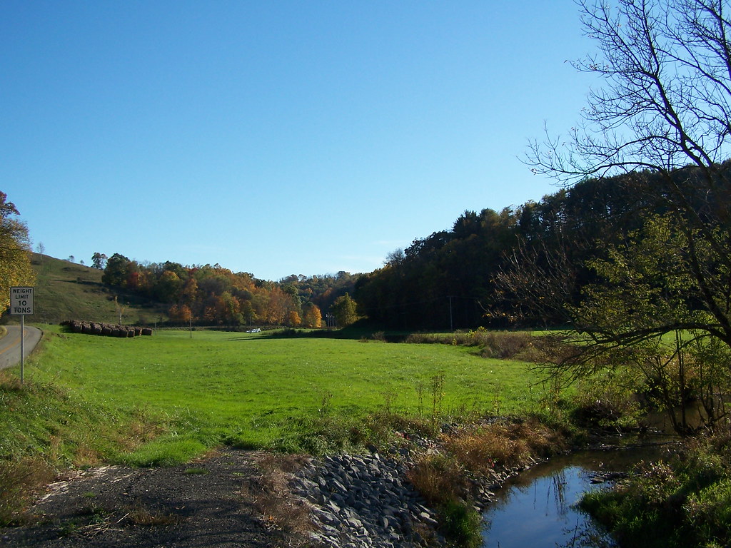
Jacktown Fair Grounds

Hoover Run Image 3 10-21-2007 Photo
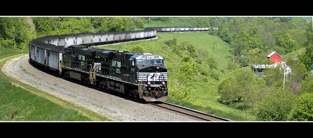
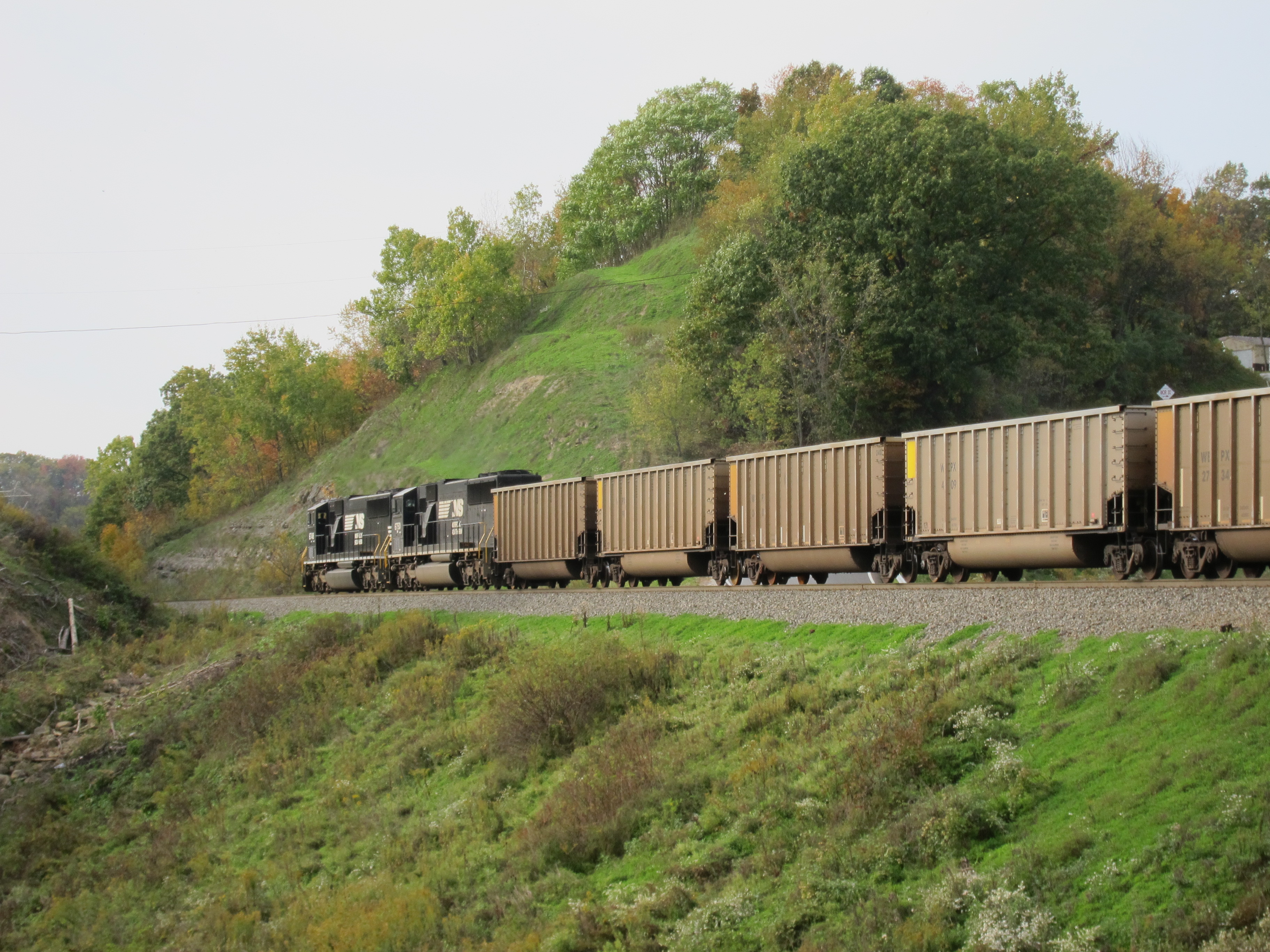
NS N06
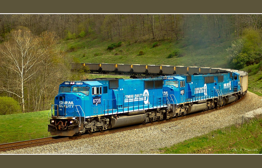
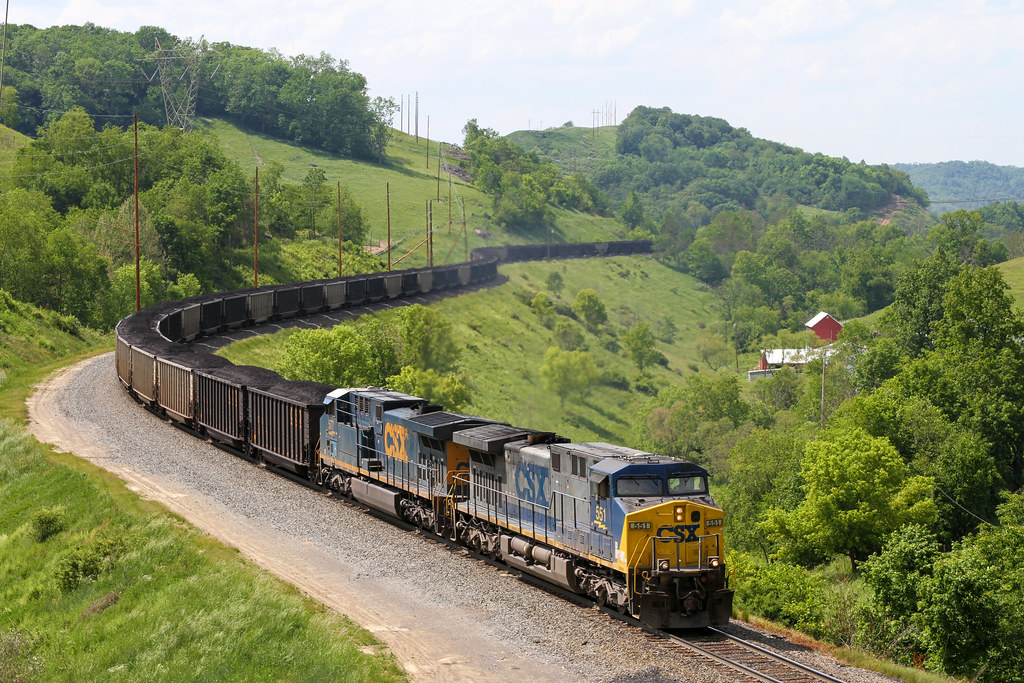
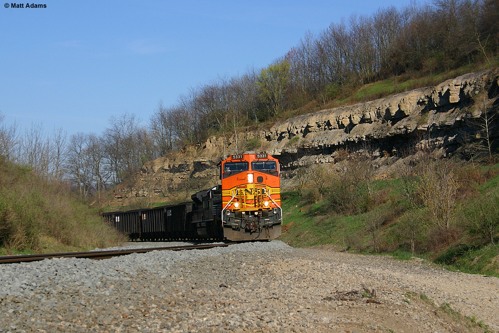
Coal Train
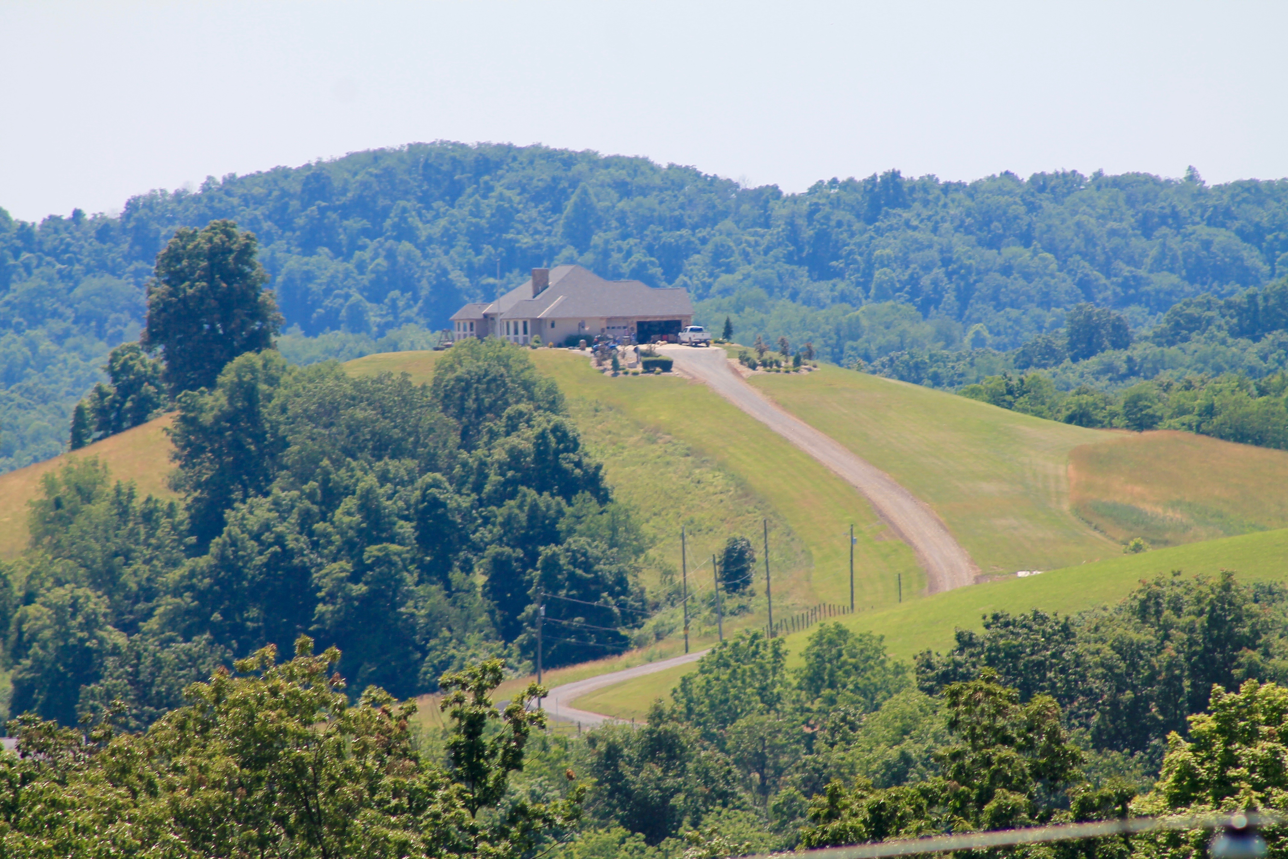
Living atop a hill
PA Route 18 heading north toward Holbrook
Pursley Creek Image 1 10-21-2007 Photo
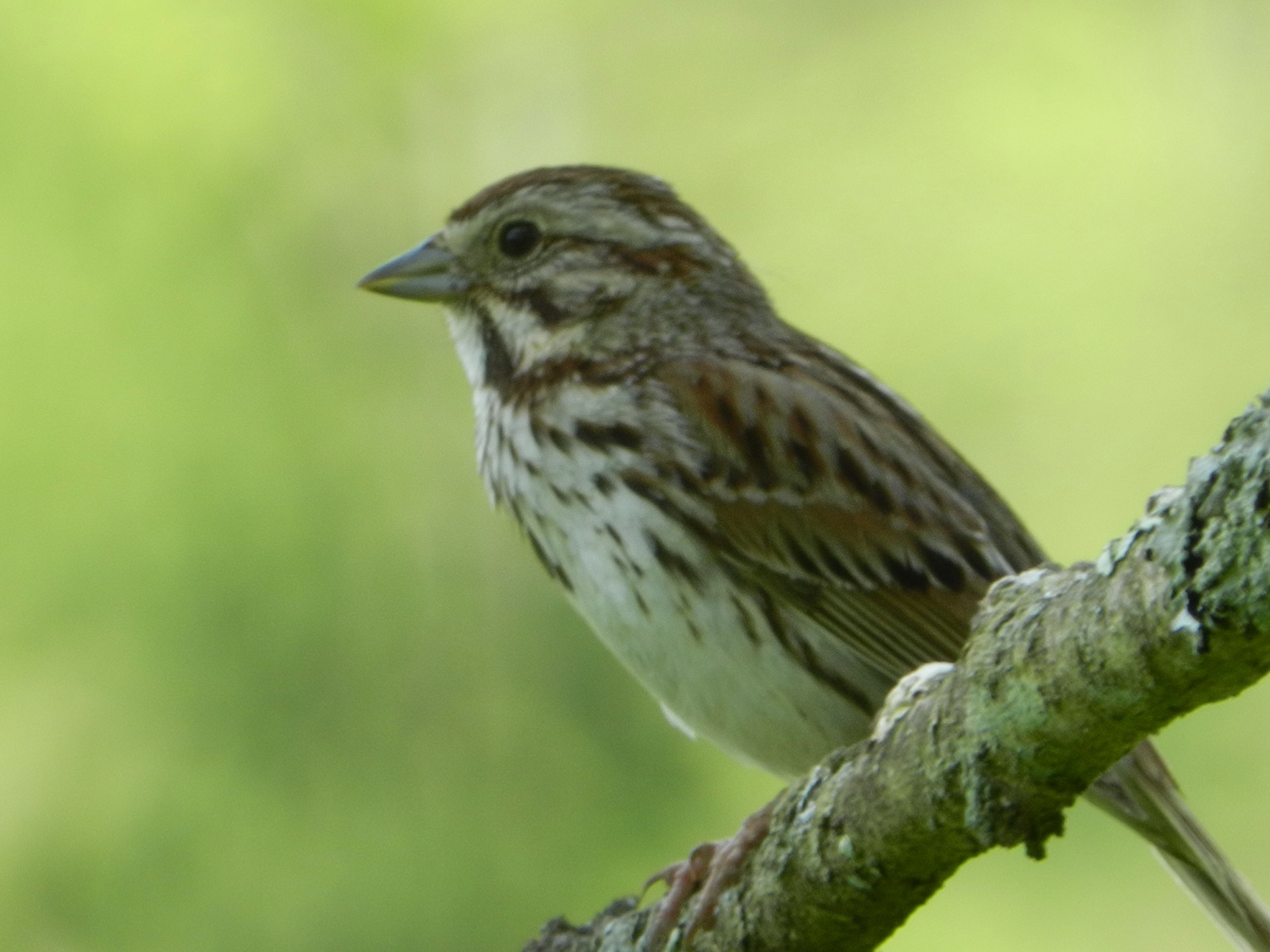
Song Sparrow

Pool Area 10-21-2007 Photo

Park Office Area Image 1 10-21-2007 Photo
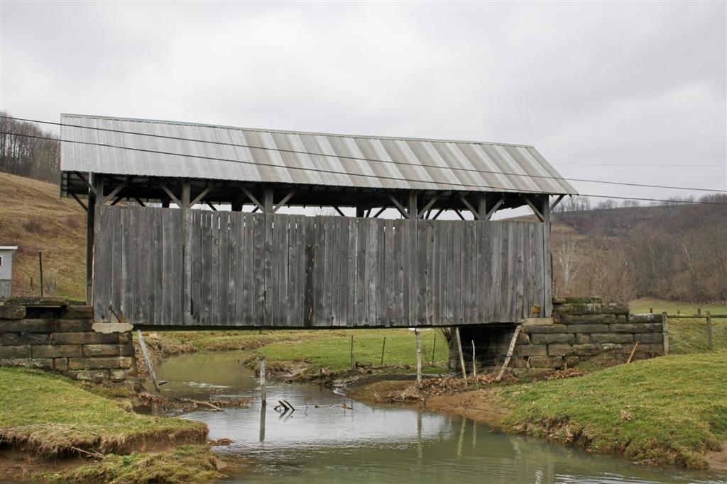
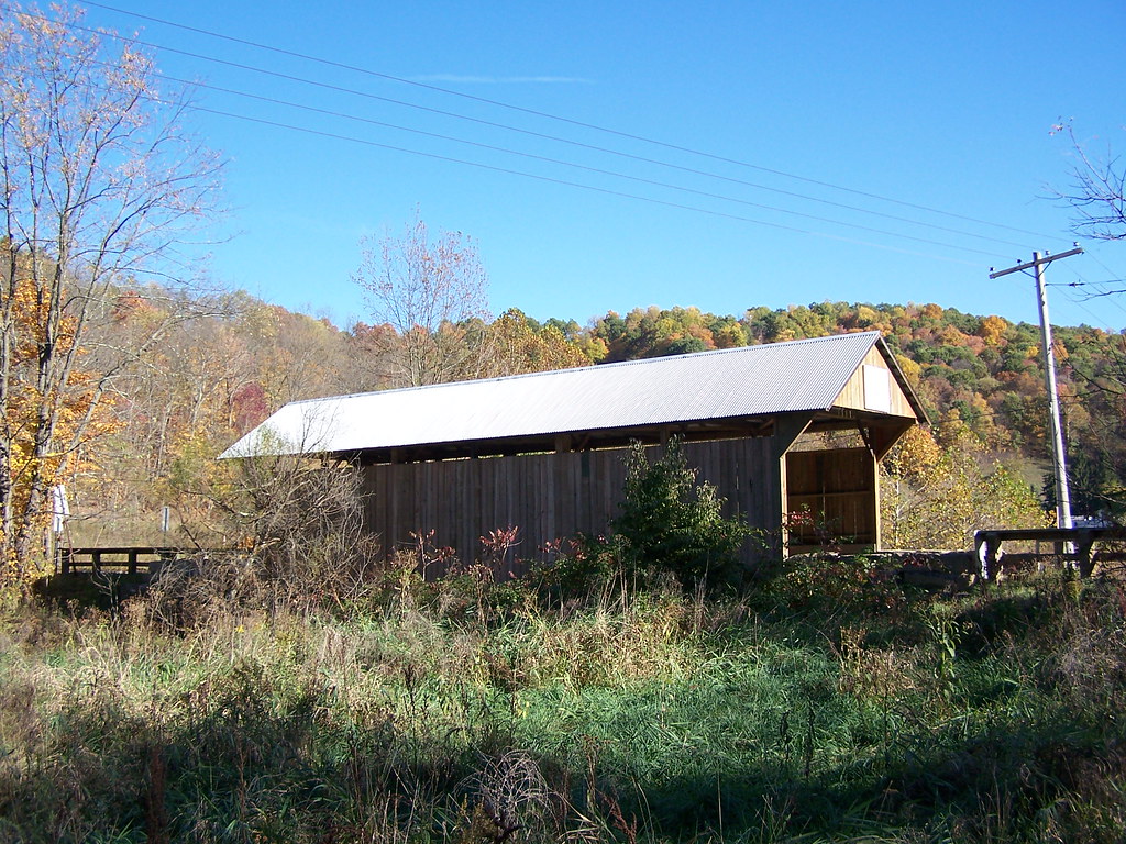
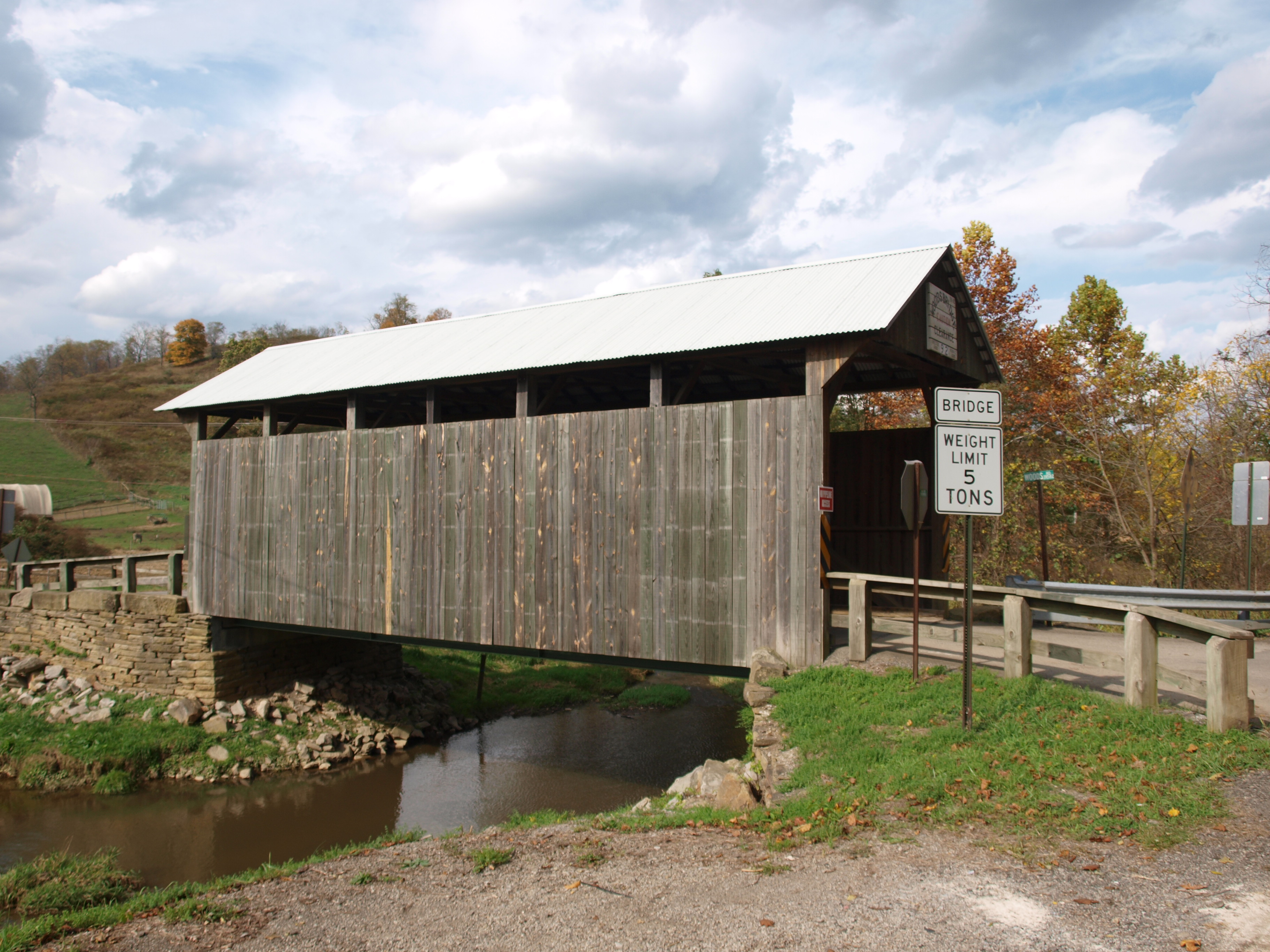
Shriver Covered Bridge
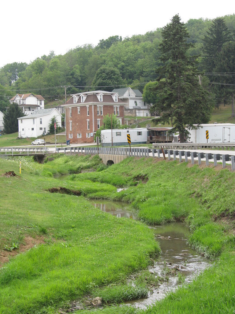
Graysville, PA

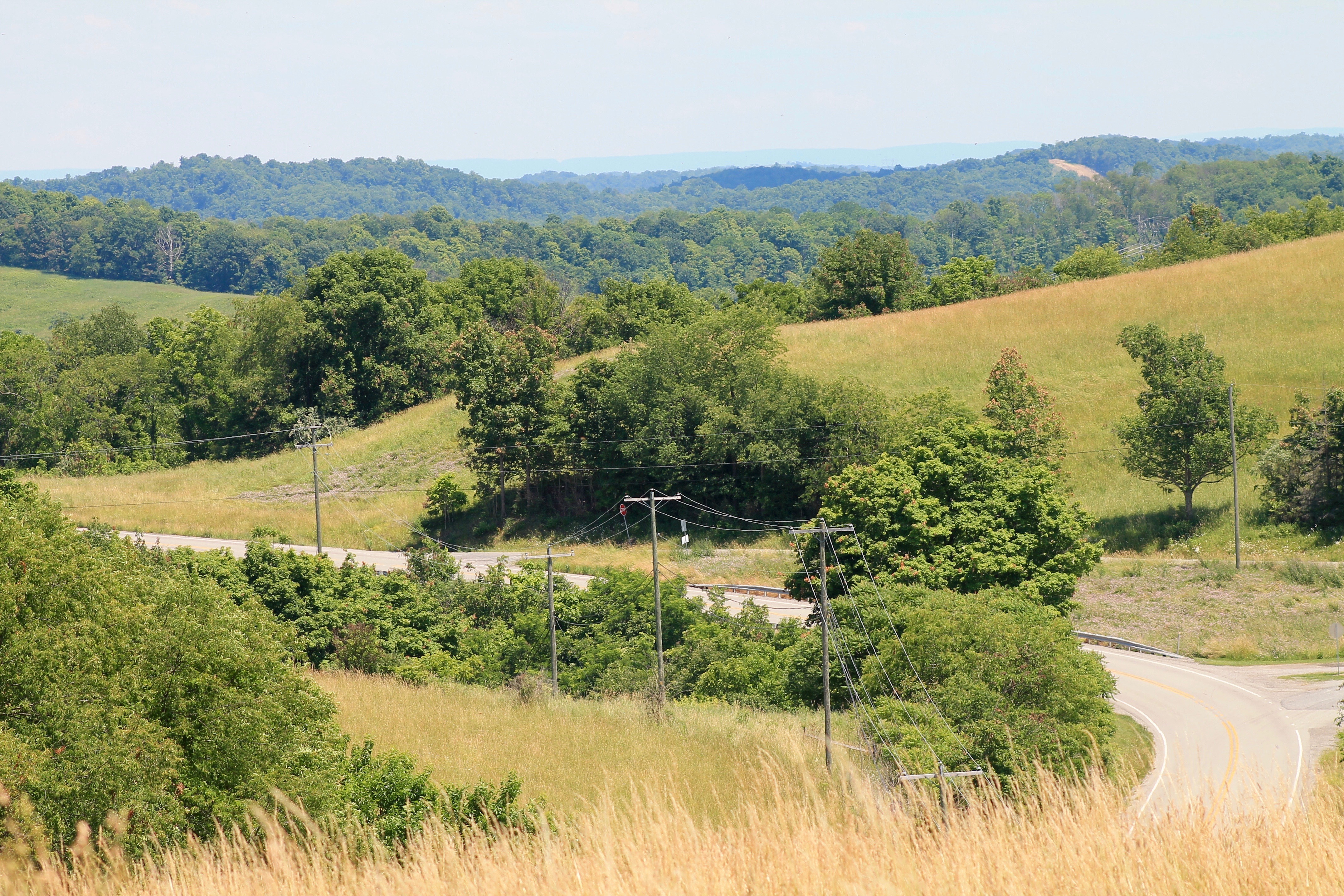
Greene County Countryside

CSX- How Tomorrow MOOves
Topographic Map of Center Township, PA, USA
Find elevation by address:

Places in Center Township, PA, USA:
Places near Center Township, PA, USA:
Mcquay Road
Golden Oaks Rd, Holbrook, PA, USA
Barton Hollow Road
Bluffridge Rd, Holbrook, PA, USA
Jackson Township
4th St, Waynesburg, PA, USA
Smith Creek Rd, Waynesburg, PA, USA
Blockhouse Rd, Holbrook, PA, USA
Waynesburg
100 Champion Dr
Ryerson Station State Park
Greene County
Richhill Township
Finch Road
Gilmore Township
Aleppo
T, New Freeport, PA, USA
New Freeport
Freeport Township
Aleppo Township
Recent Searches:
- Elevation of Congressional Dr, Stevensville, MD, USA
- Elevation of Bellview Rd, McLean, VA, USA
- Elevation of Stage Island Rd, Chatham, MA, USA
- Elevation of Shibuya Scramble Crossing, 21 Udagawacho, Shibuya City, Tokyo -, Japan
- Elevation of Jadagoniai, Kaunas District Municipality, Lithuania
- Elevation of Pagonija rock, Kranto 7-oji g. 8"N, Kaunas, Lithuania
- Elevation of Co Rd 87, Jamestown, CO, USA
- Elevation of Tenjo, Cundinamarca, Colombia
- Elevation of Côte-des-Neiges, Montreal, QC H4A 3J6, Canada
- Elevation of Bobcat Dr, Helena, MT, USA