Elevation of Aleppo Township, PA, USA
Location: United States > Pennsylvania > Greene County >
Longitude: -80.477147
Latitude: 39.8151662
Elevation: 447m / 1467feet
Barometric Pressure: 96KPa
Elevation Map:
Satellite Map:
Related Photos:

Streetcorner of Cameron, W.Va.

Layin down my heavy old rusty old rolling flattener-smoother, under a tree, during my break.

Crow Farm

It's still steep!

Steep pipeline right-of-way

Mooney Farm

View facing (approx) S in Durbin Cemetery

View facing E from Durbin Cemetery

View looking (approx) W into Durbin Cemetery from edge of trees

View (approx) WNW from eastern edge of Durbin Cemetery

View to the E from Durbin Cemetery

View looking (approx) W into the remainder of the Durbin Cemetery

View facing (approx) NNW from Durbin Cemetery

A view in town.

View west from Centennial Cemetery near Aleppo, PA

View east from Centennial Cemetery near Aleppo, PA

Scott Covered Bridge, barrel view, Greene County, PA

Scott Covered Bridge, creek view, Greene County, PA

Scott Covered Bridge, window view, Greene County, PA

View from Distance 6-26-2004 Photo

Side View 6-26-2004 Photo

Crows' Rock

Crows' Rock and Crow Creek

Crows' Rock: looking east

Crows' Rock: looking west

Birdseye Cameron
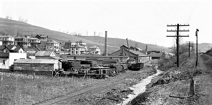
1920s Cameron WV

Pipeline Right-of-Way

Columbia Gas Well

Adaline Revisited

Adaline Revisited

Gas company road

The bottom ground

Flooded bottom ground

Old creek road

Site of Farmhouse

Regraded bank

Steep Ridge

Bottom ground, facing east
Topographic Map of Aleppo Township, PA, USA
Find elevation by address:

Places in Aleppo Township, PA, USA:
Places near Aleppo Township, PA, USA:
366 Quiet Dell Rd
366 Quiet Dell Rd
366 Quiet Dell Rd
Aleppo
Jacobs Rd, Wind Ridge, PA, USA
Finch Road
New Freeport
Ryerson Station State Park
Richhill Township
Freeport Township
T, New Freeport, PA, USA
Blockhouse Rd, Holbrook, PA, USA
Jackson Township
Gilmore Township
Golden Oaks Rd, Holbrook, PA, USA
Bluffridge Rd, Holbrook, PA, USA
Center Township
Mcquay Road
Barton Hollow Road
4th St, Waynesburg, PA, USA
Recent Searches:
- Elevation of Congressional Dr, Stevensville, MD, USA
- Elevation of Bellview Rd, McLean, VA, USA
- Elevation of Stage Island Rd, Chatham, MA, USA
- Elevation of Shibuya Scramble Crossing, 21 Udagawacho, Shibuya City, Tokyo -, Japan
- Elevation of Jadagoniai, Kaunas District Municipality, Lithuania
- Elevation of Pagonija rock, Kranto 7-oji g. 8"N, Kaunas, Lithuania
- Elevation of Co Rd 87, Jamestown, CO, USA
- Elevation of Tenjo, Cundinamarca, Colombia
- Elevation of Côte-des-Neiges, Montreal, QC H4A 3J6, Canada
- Elevation of Bobcat Dr, Helena, MT, USA