Elevation of Champion Dr, Waynesburg, PA, USA
Location: United States > Pennsylvania > Greene County > Franklin Township > Waynesburg >
Longitude: -80.174929
Latitude: 39.8919006
Elevation: 304m / 997feet
Barometric Pressure: 98KPa
Elevation Map:
Satellite Map:
Related Photos:

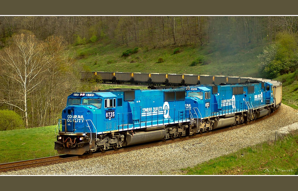
MGA 2306 South on the Manor Branch

DE 018 South at Mather, PA
Back to Bailey
Pennsylvania ~ Rogersville
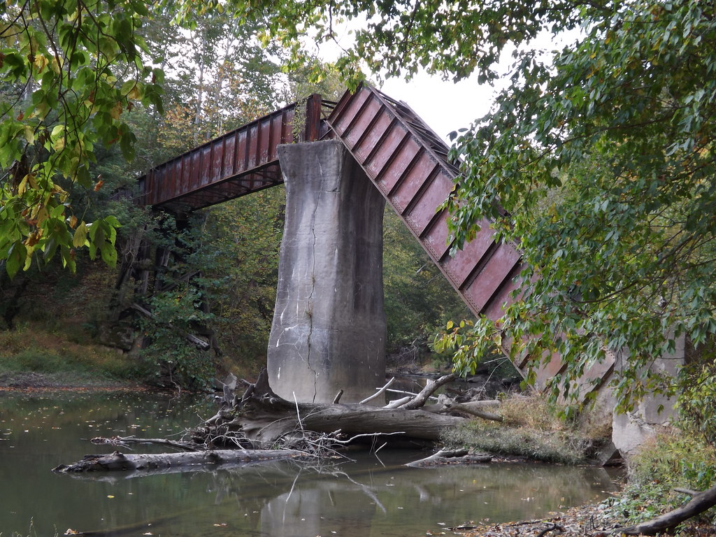
'Big Bridge' at Mather Mine 4of6
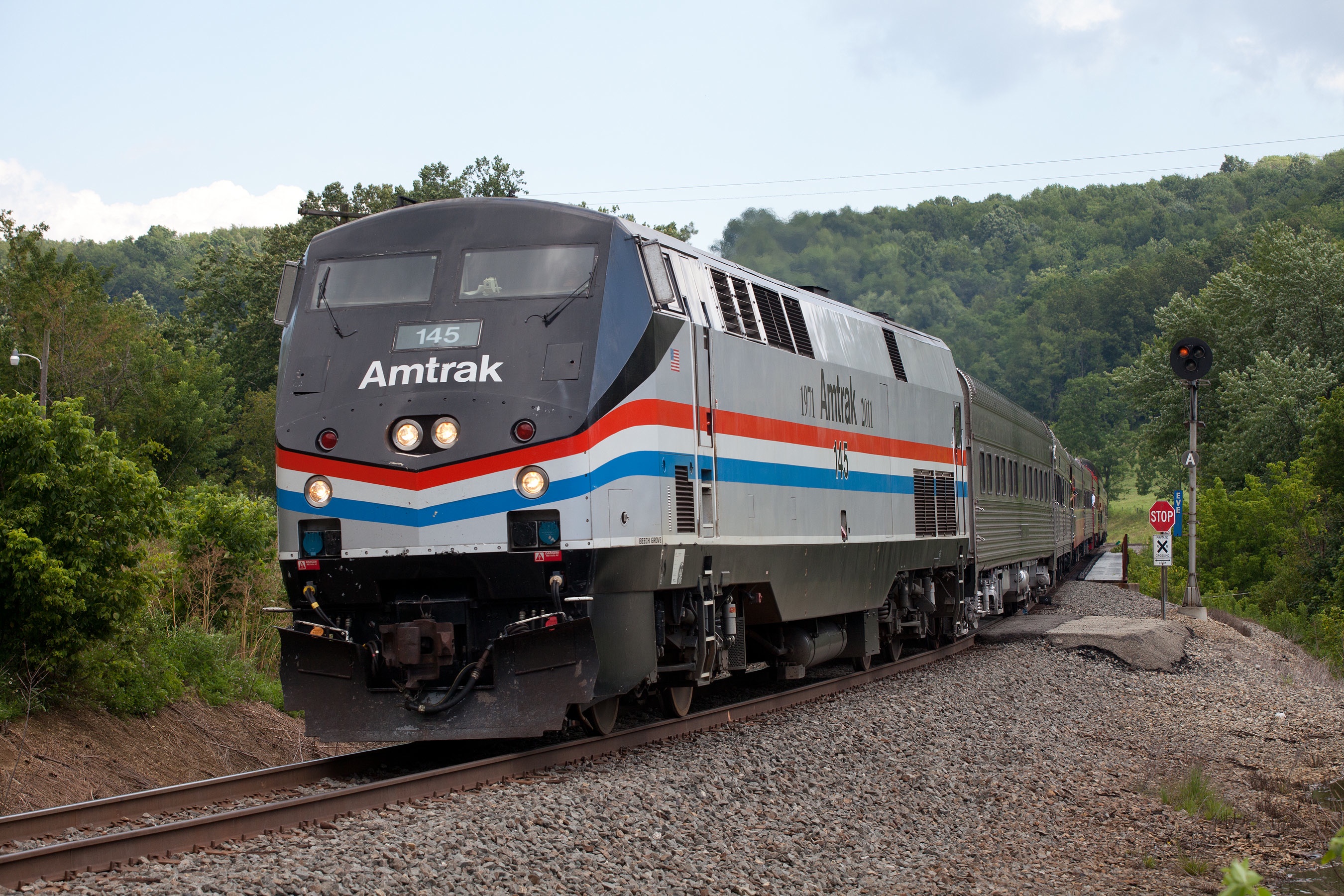
Amtrak 145 at EVE (East View)
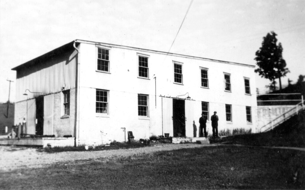
Waynesburg Warehouse
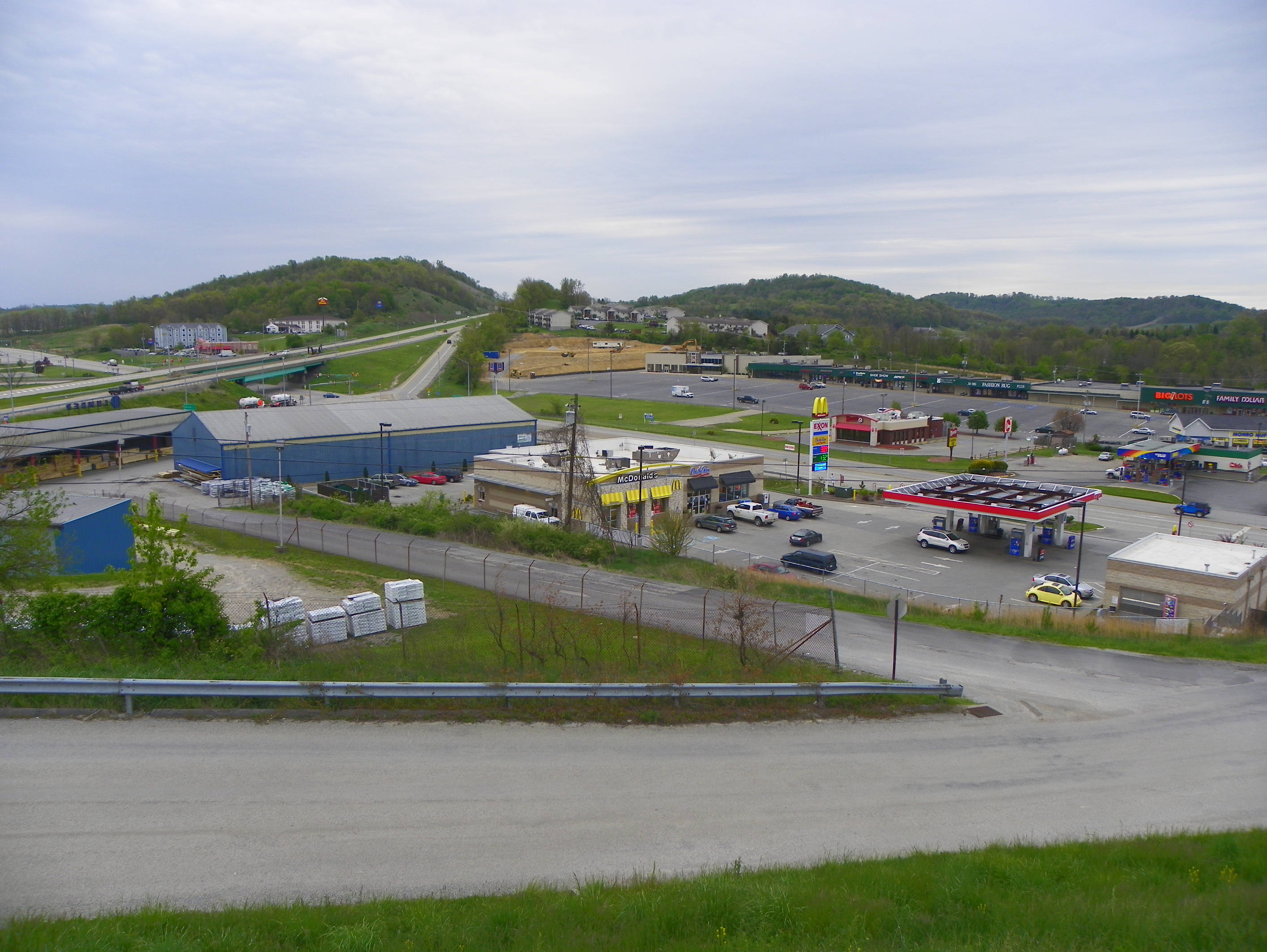
View from our Room at the Econo Lodge
Shriver Covered Bridge, truss view, Greene County, PA
Woods Covered Bridge, truss view, Greene County, PA
Scott Covered Bridge, window view, Greene County, PA

Lippincott-Cox Farm Covered Bridge, barrel view, Greene County, PA

Lippincott-Cox Farm Covered Bridge side view, Greene County, PA
Scott Covered Bridge, barrel view, Greene County, PA

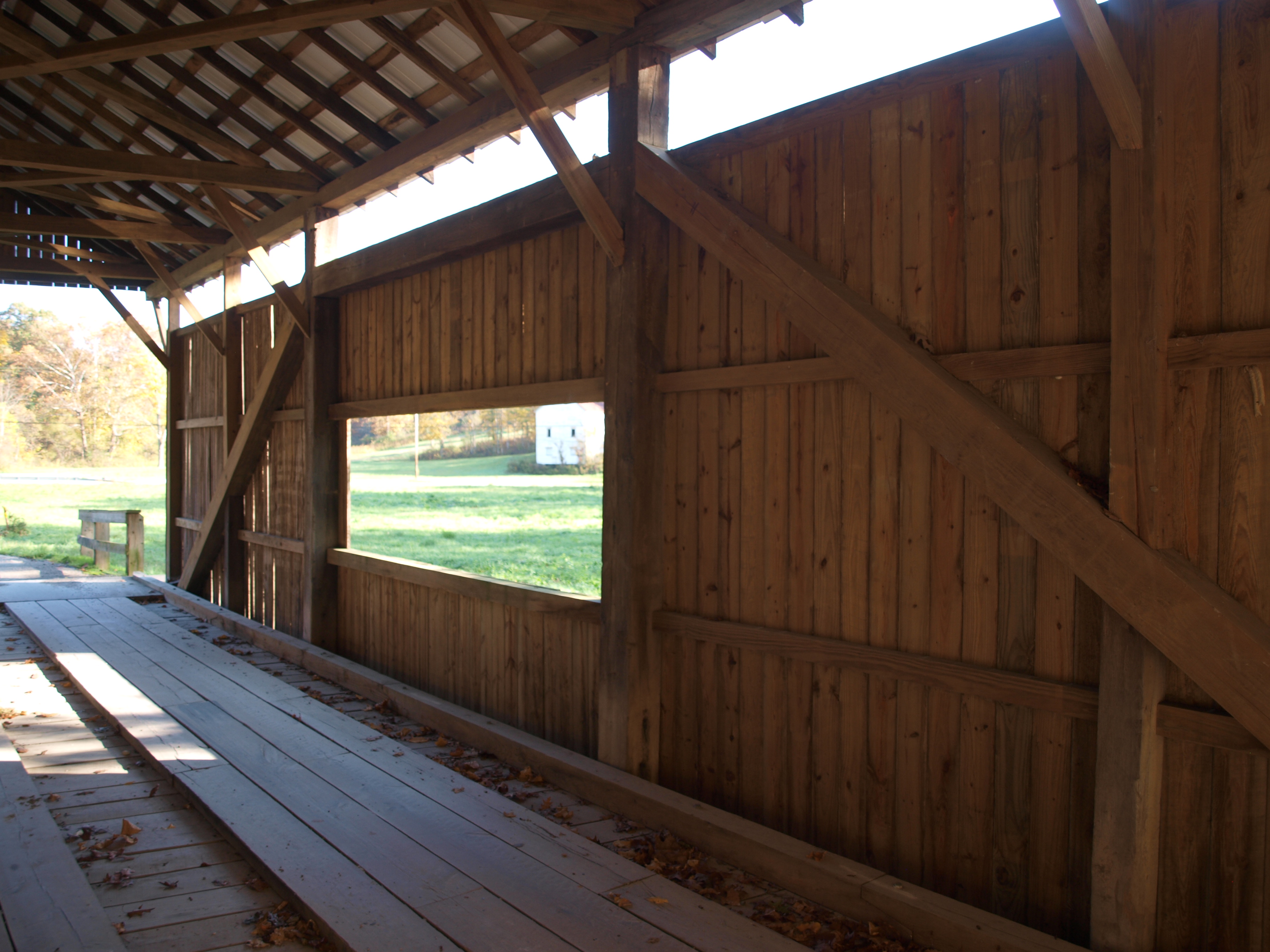
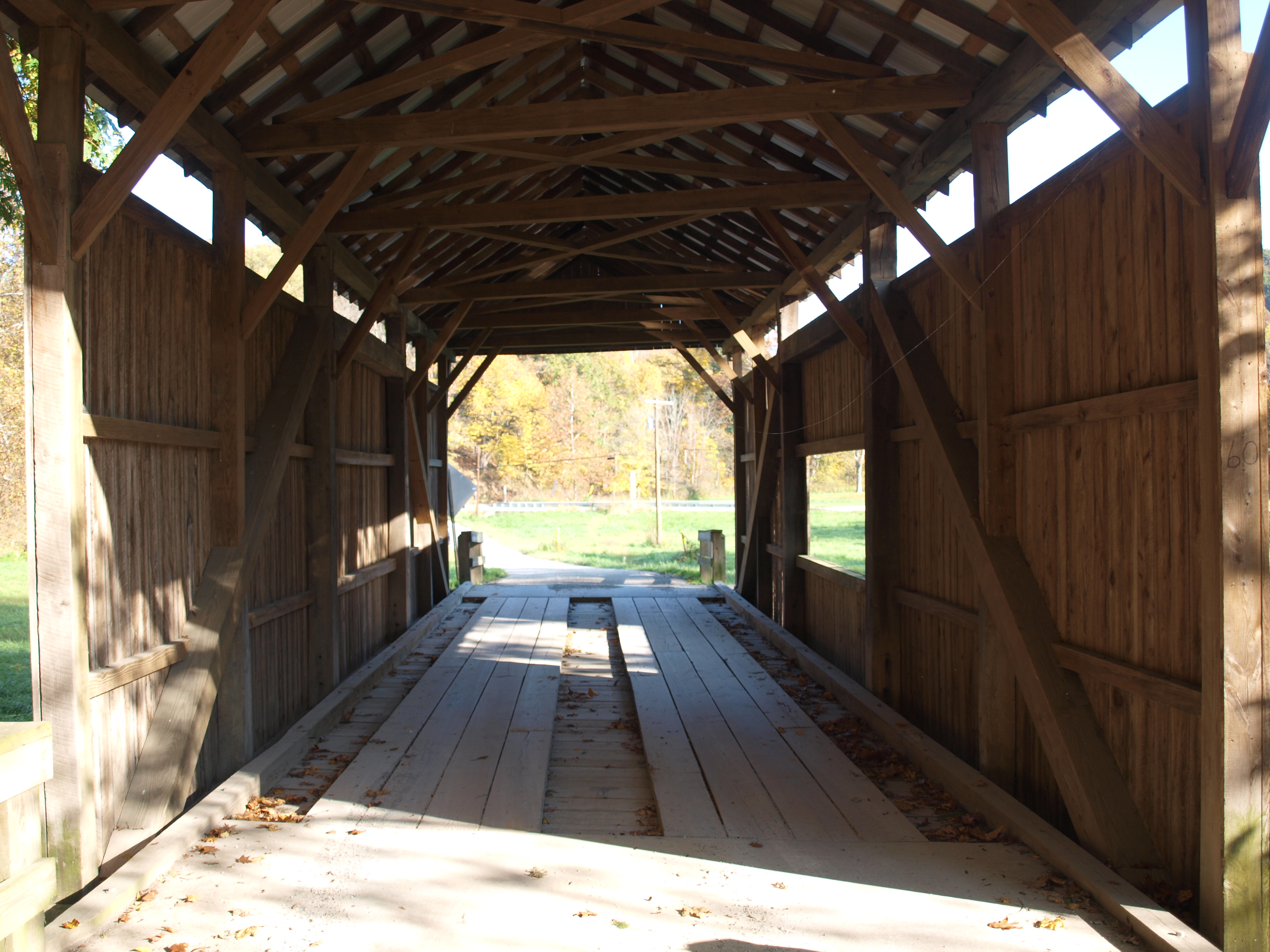
White Covered Bridge, barrel view, Greene County, PA
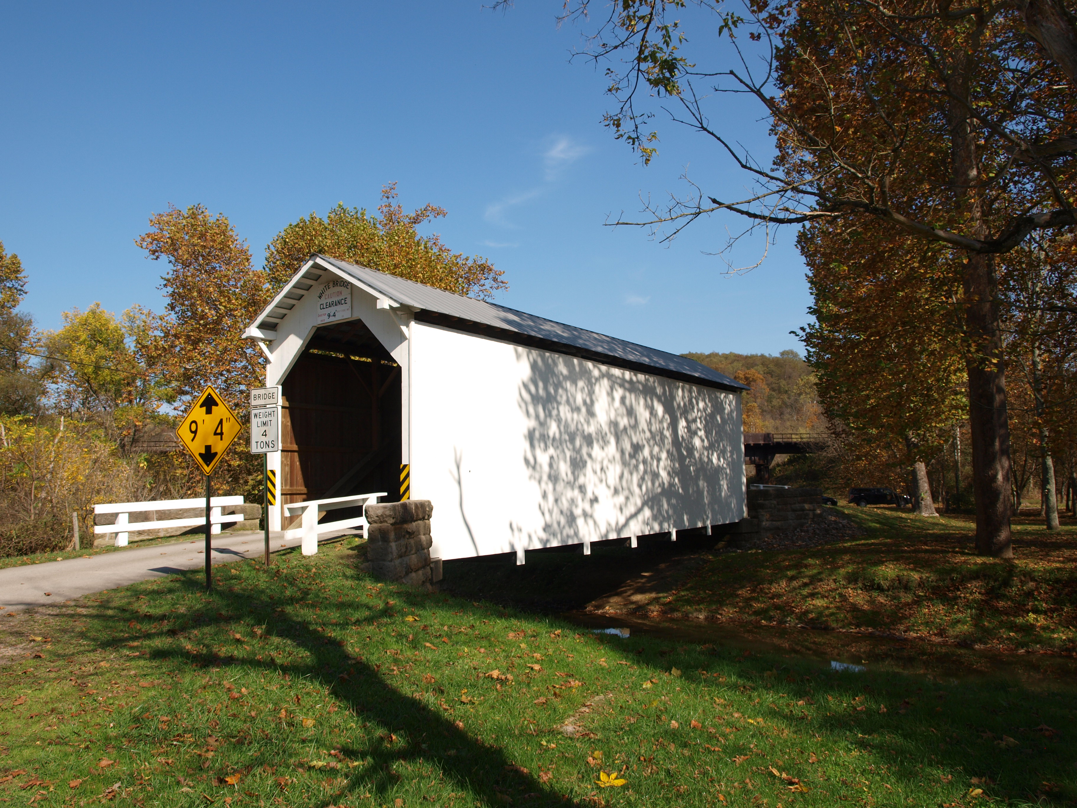
White Covered Bridge, side view, Greene County, PA
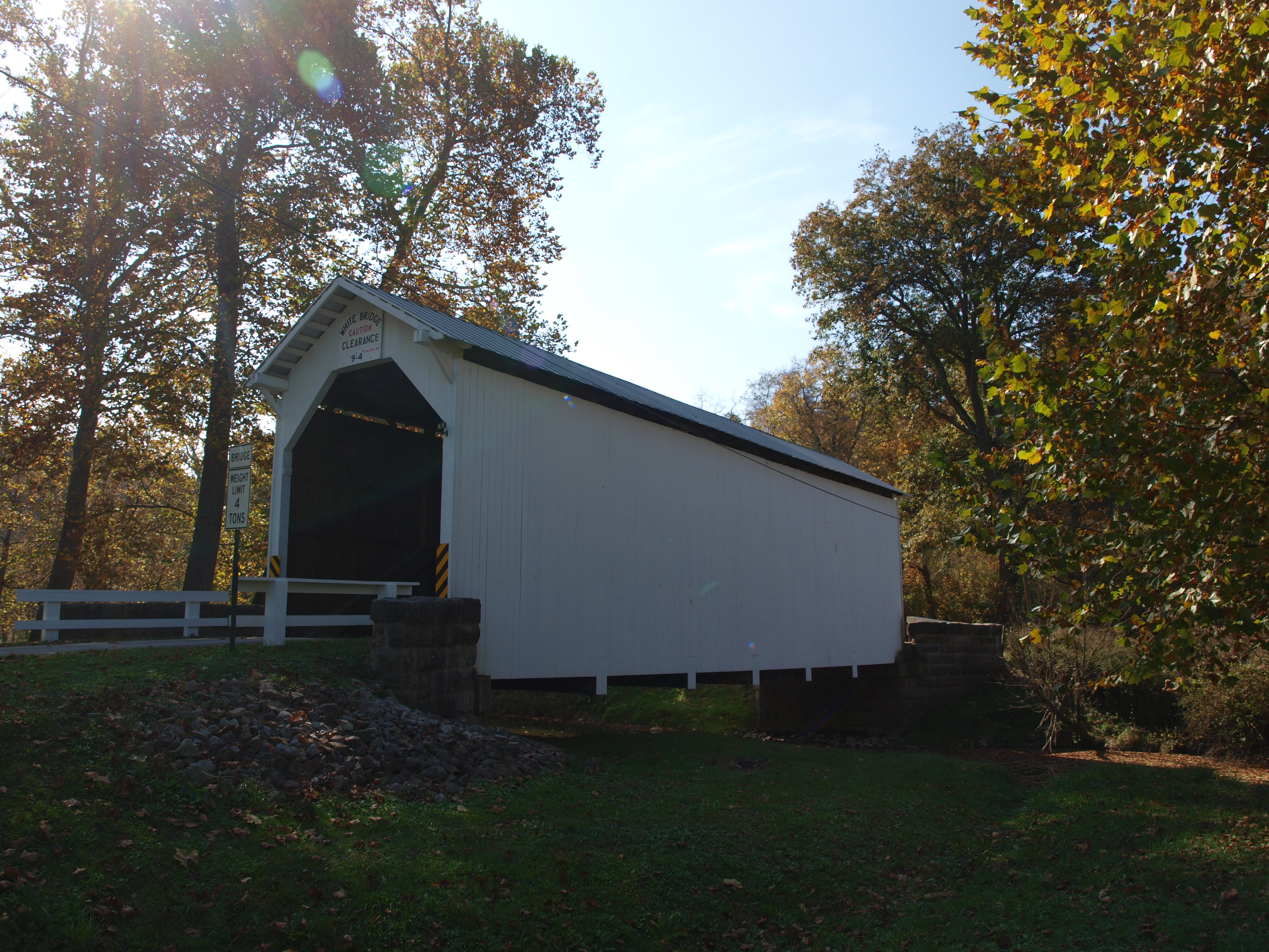
White Covered Bridge, side view, Greene County, PA (2)
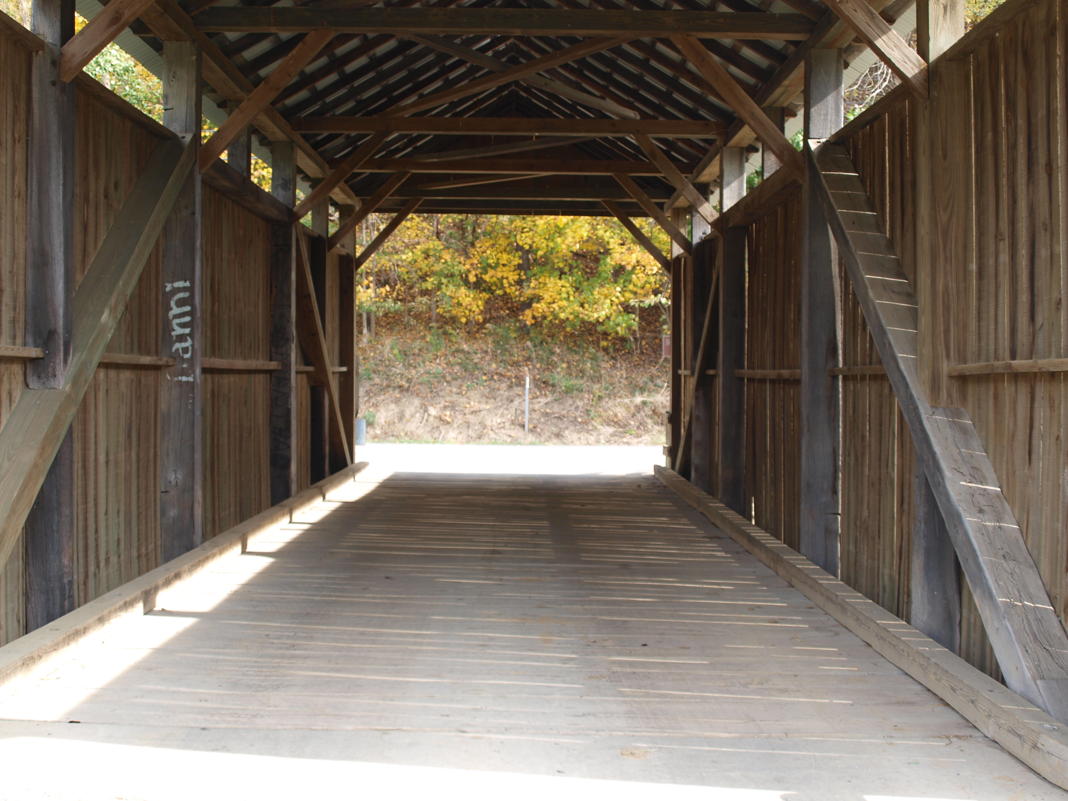
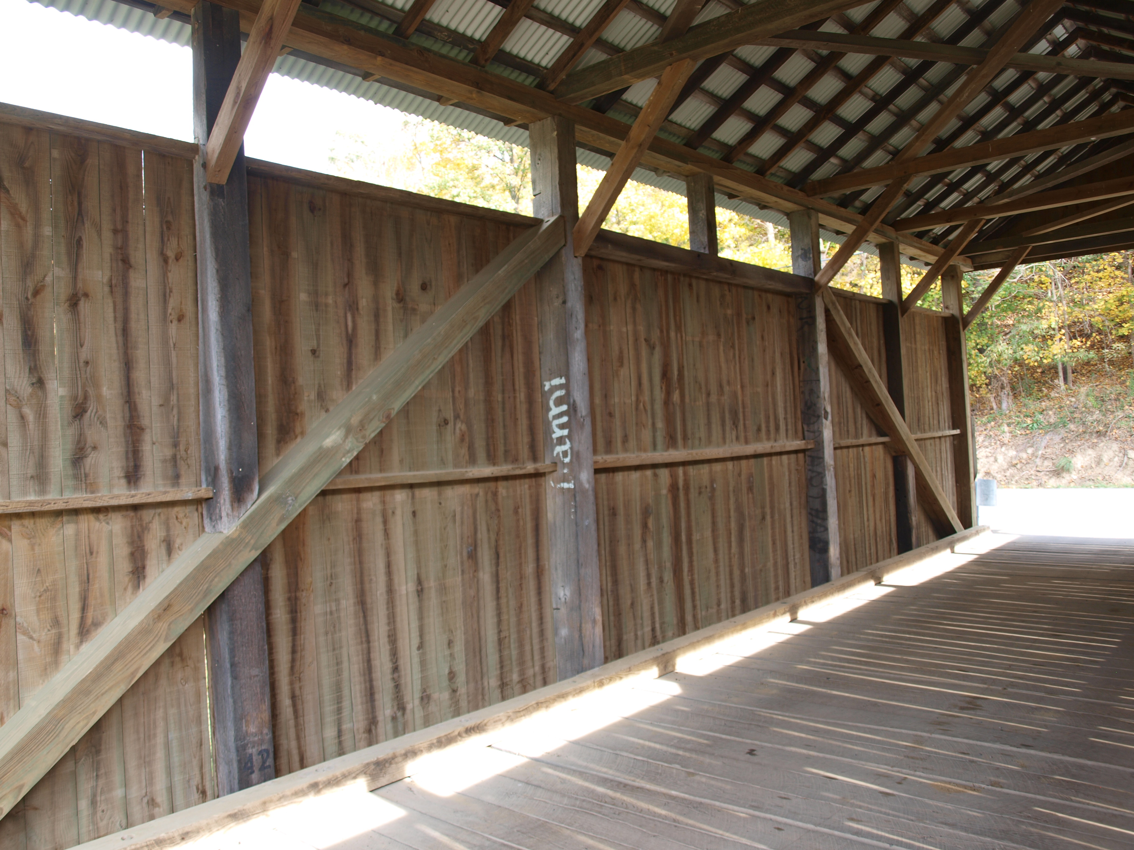
Woods Covered Bridge, barrel view, Greene County, PA
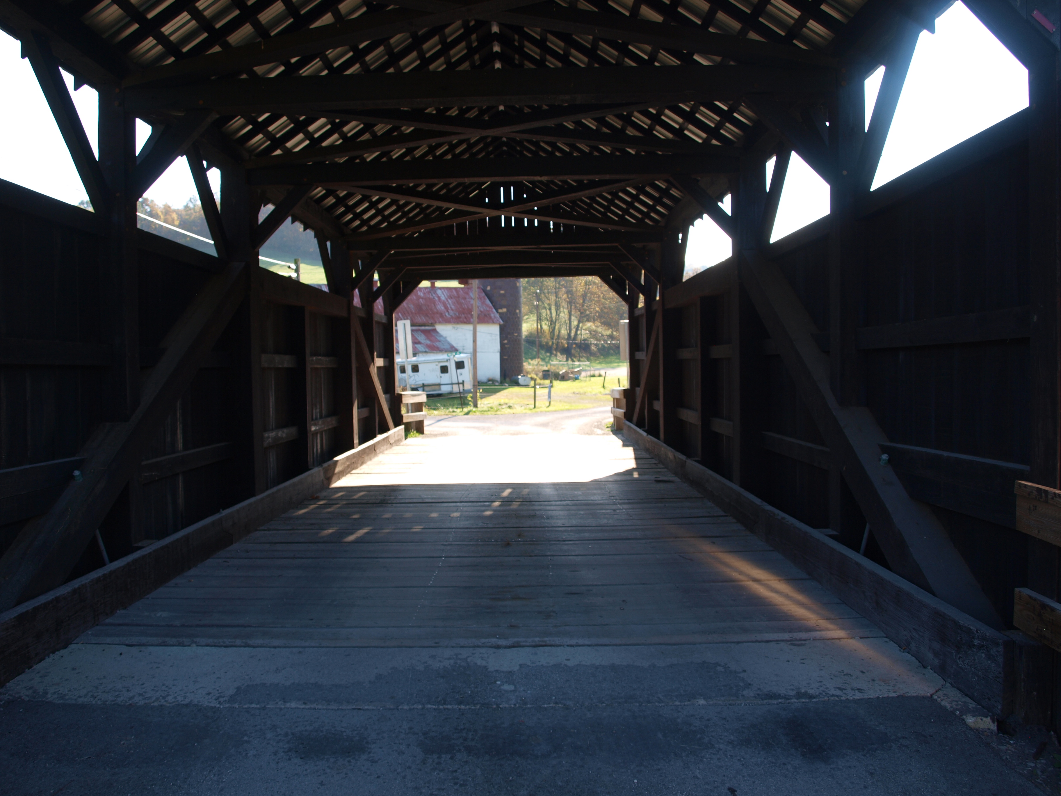
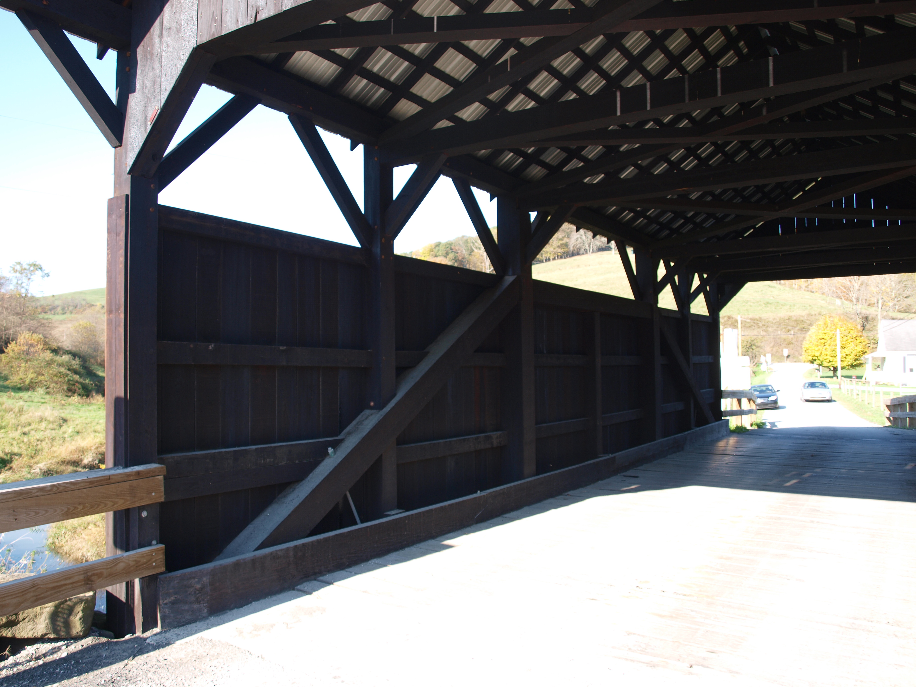
Shriver Covered Bridge, barrel view, Greene County, PA

Bailey Covered Bridge, barrel view, Washington County, PA
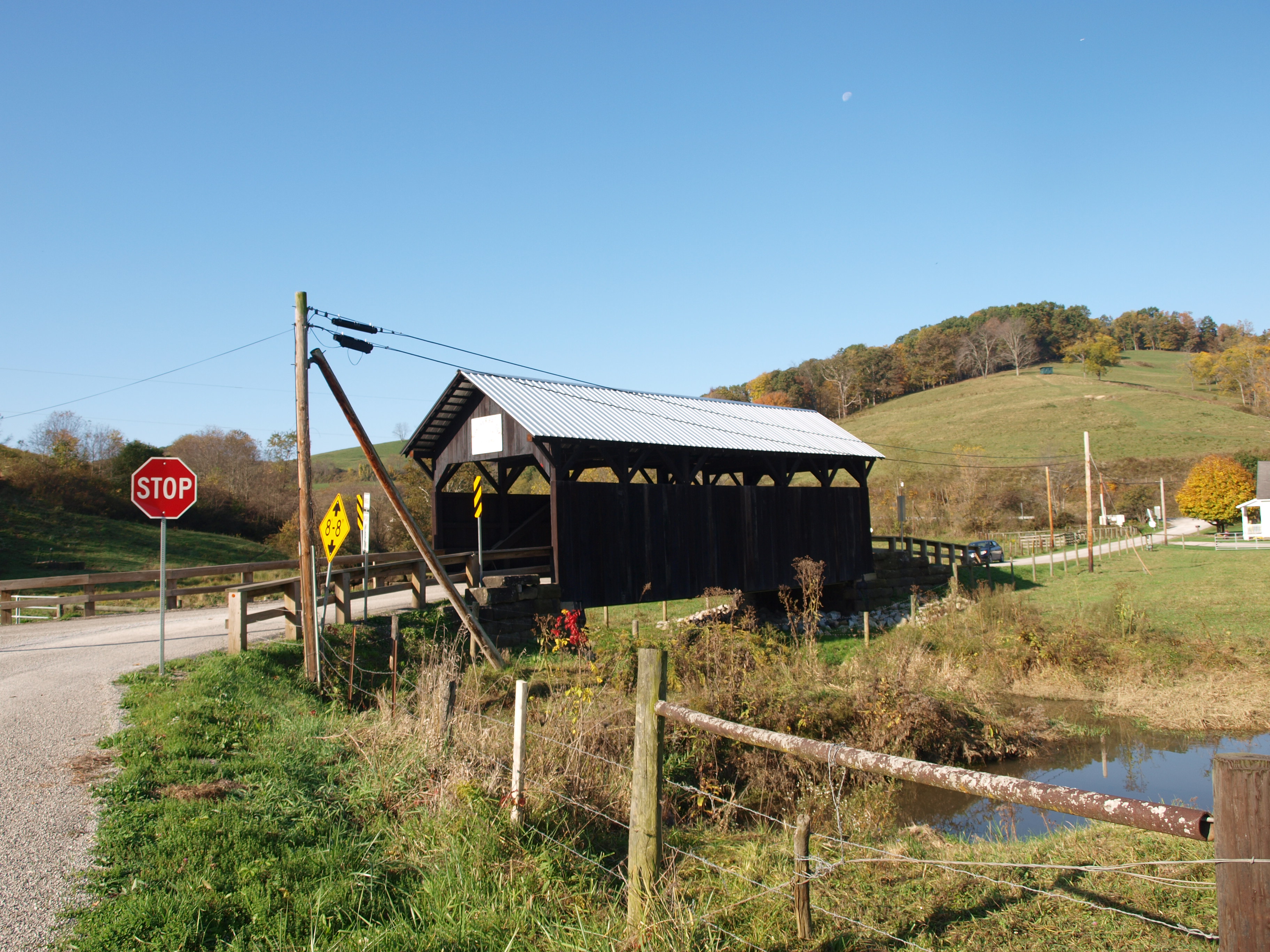
Shriver Covered Bridge, side view, Greene County, PA

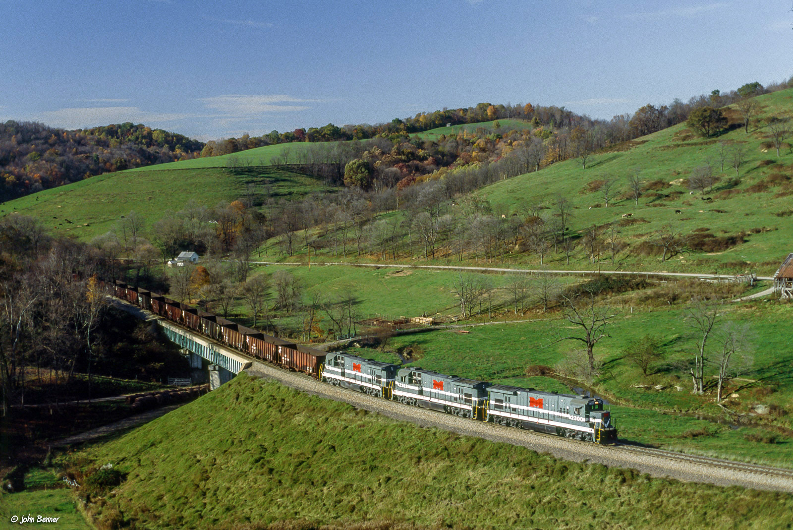
MGA 2306 South at Rogersville, PA

MGA-CR 6864 North on the Manor Branch

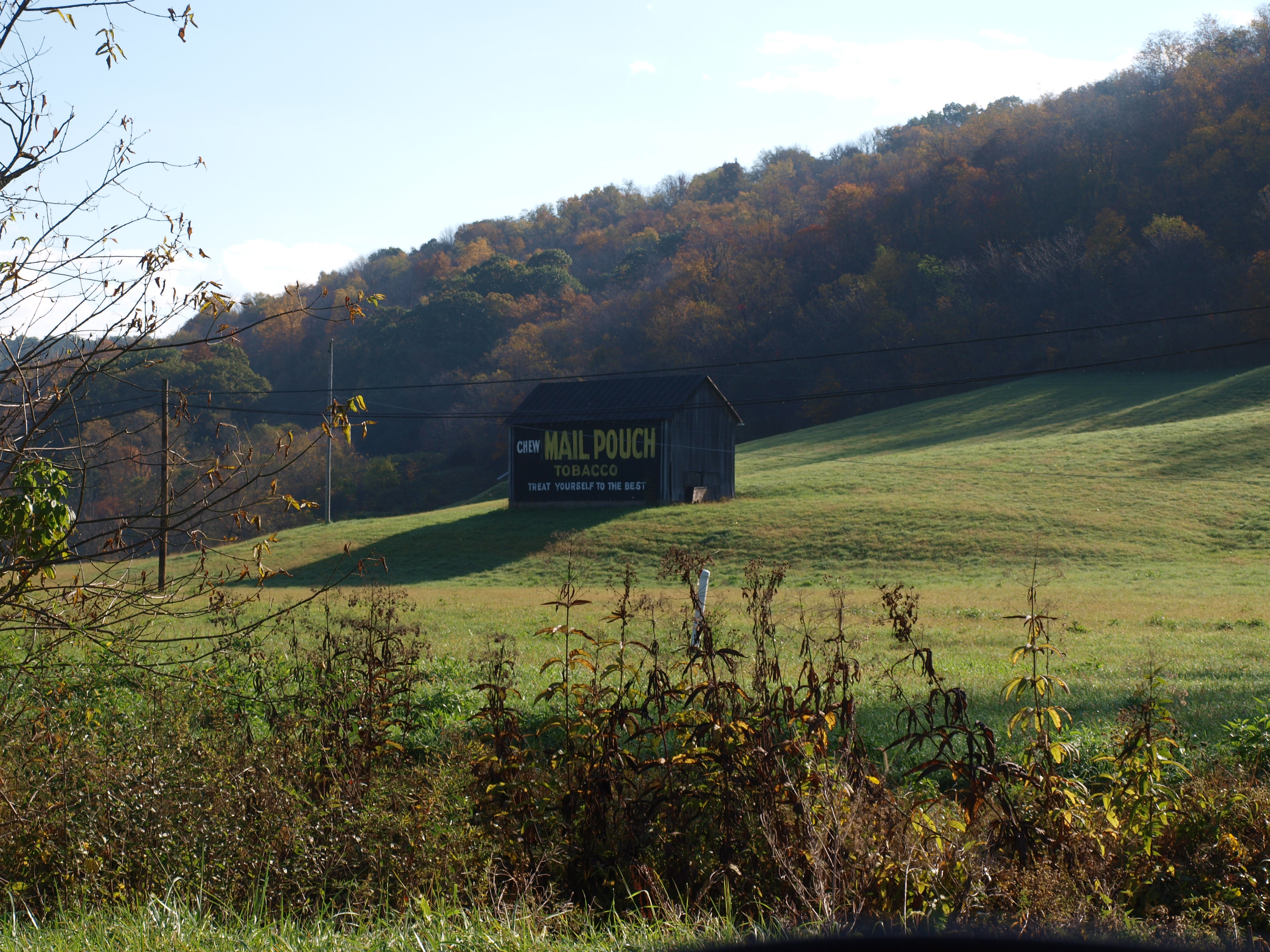
CSX- How Tomorrow MOOves

Gazebo Park - Waynesburg, Pennsylvania
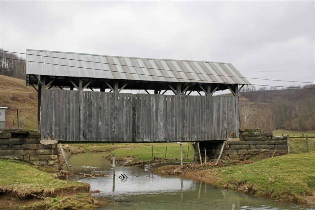
Shriver Covered Bridge

MPB 38-30-03, Greene County, PA (2)
Cumberland Mine

MGA-B&O 3825 South at Sycamore, PA
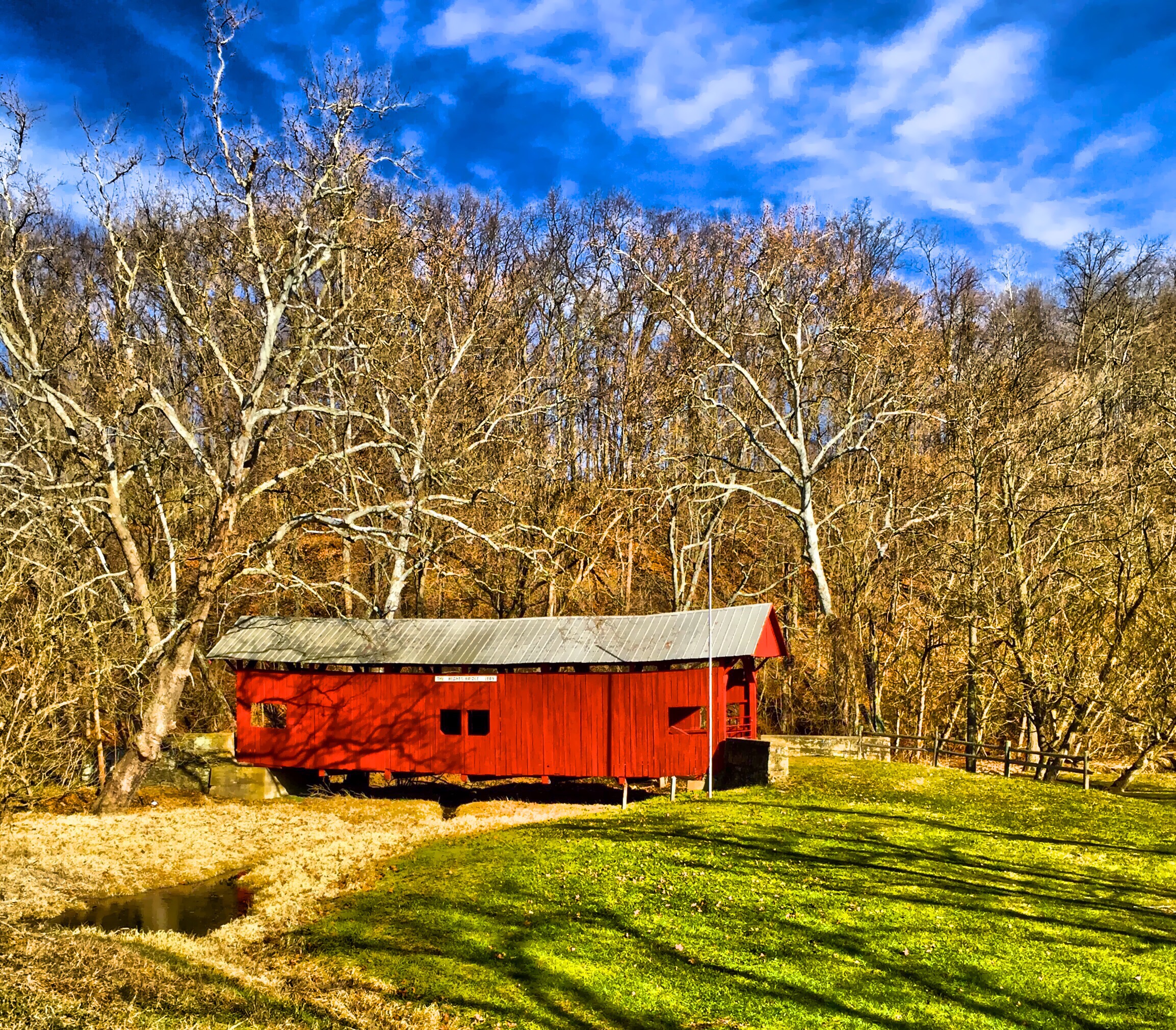
Hughes Bridge 1889

Patterson Creek
MGA 2300 North at Sycamore, PA

Curves and Clouds
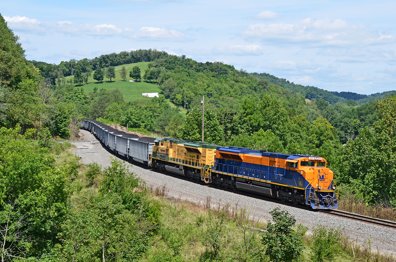
CNJ-RDG SD70ACe-1071, 1067 N/B N-24 at West Run Rd., Sycamore, PA
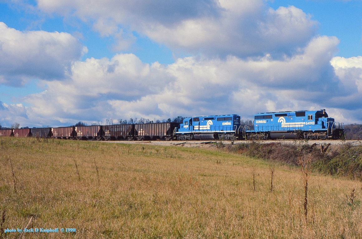
CR 6490-6499, MGA, Clarksville, PA. 10-28-1990
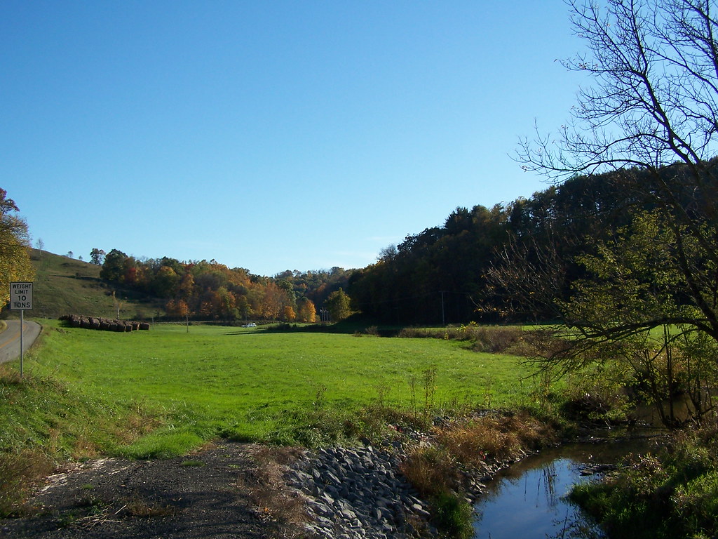
Pursley Creek Image 1 10-21-2007 Photo
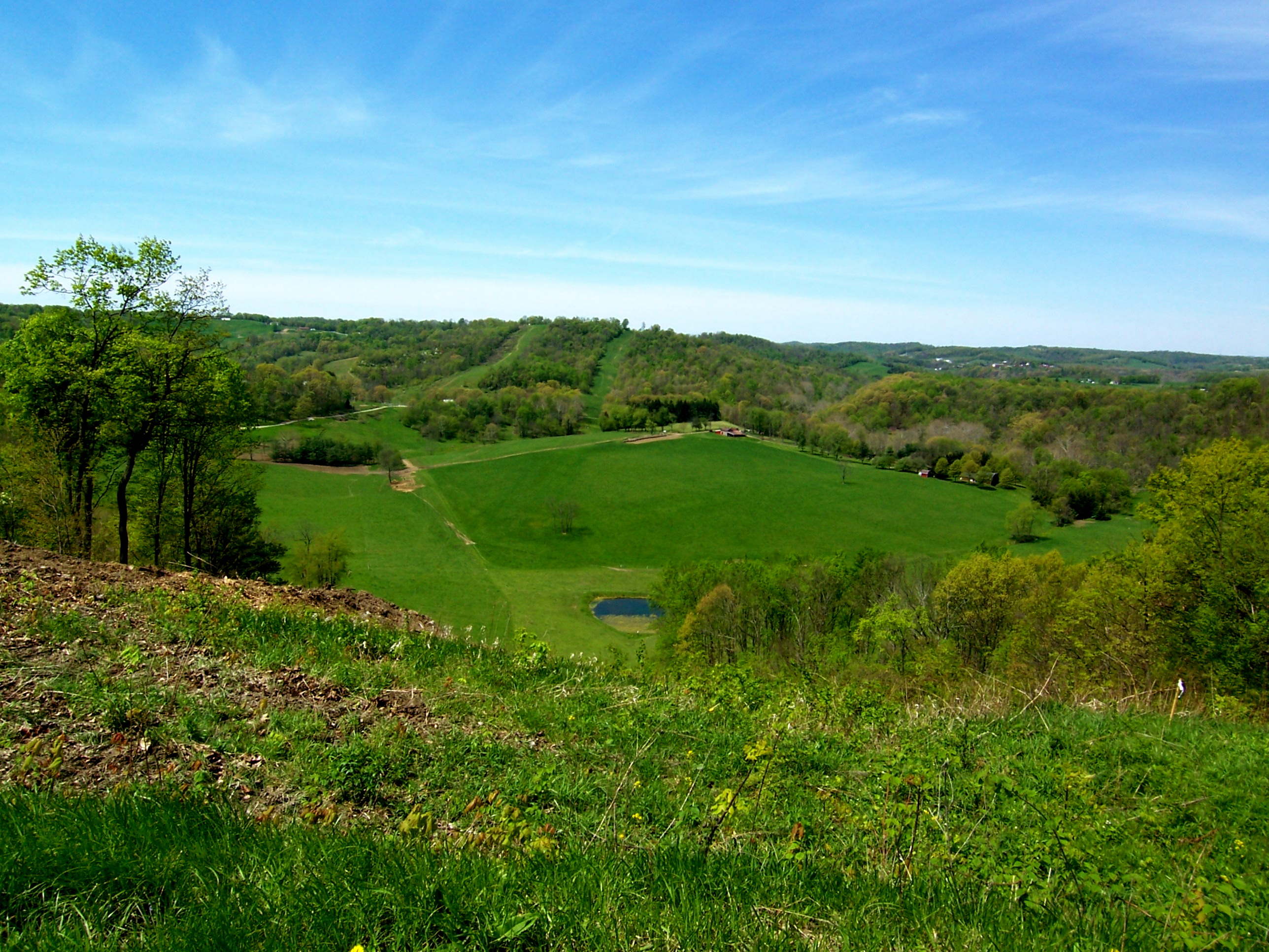
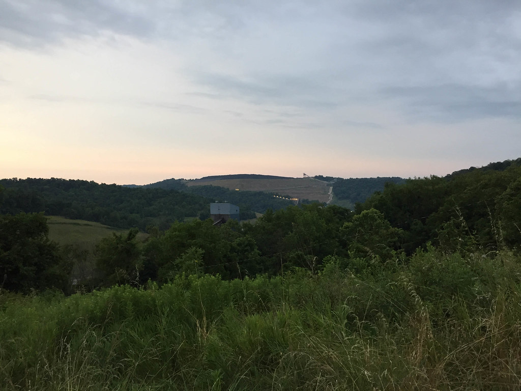
The Big Valley

'Big Bridge' at Mather Mine 5of6
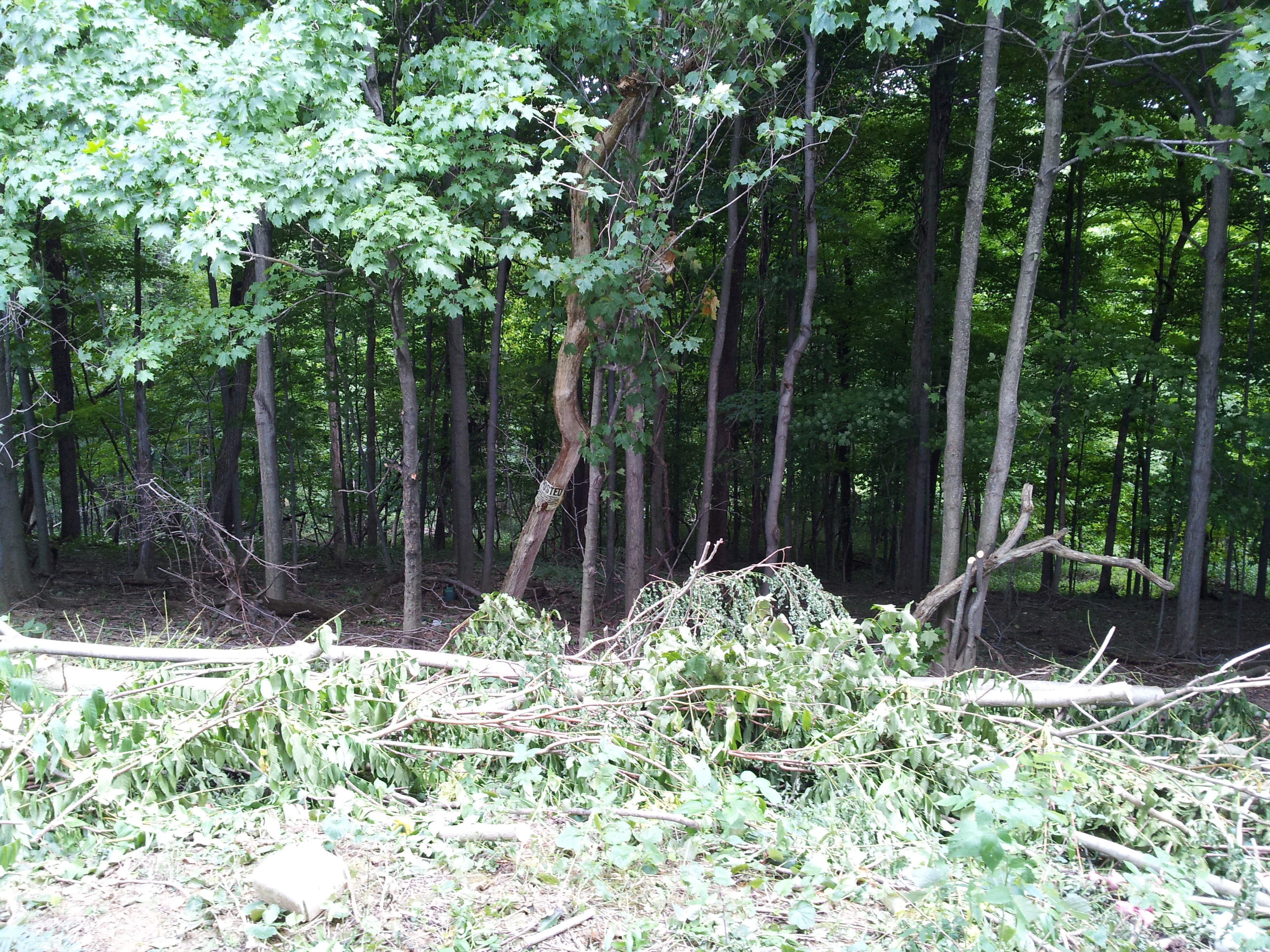
Woods behind church
MPB 38-30-08, Greene County, PA
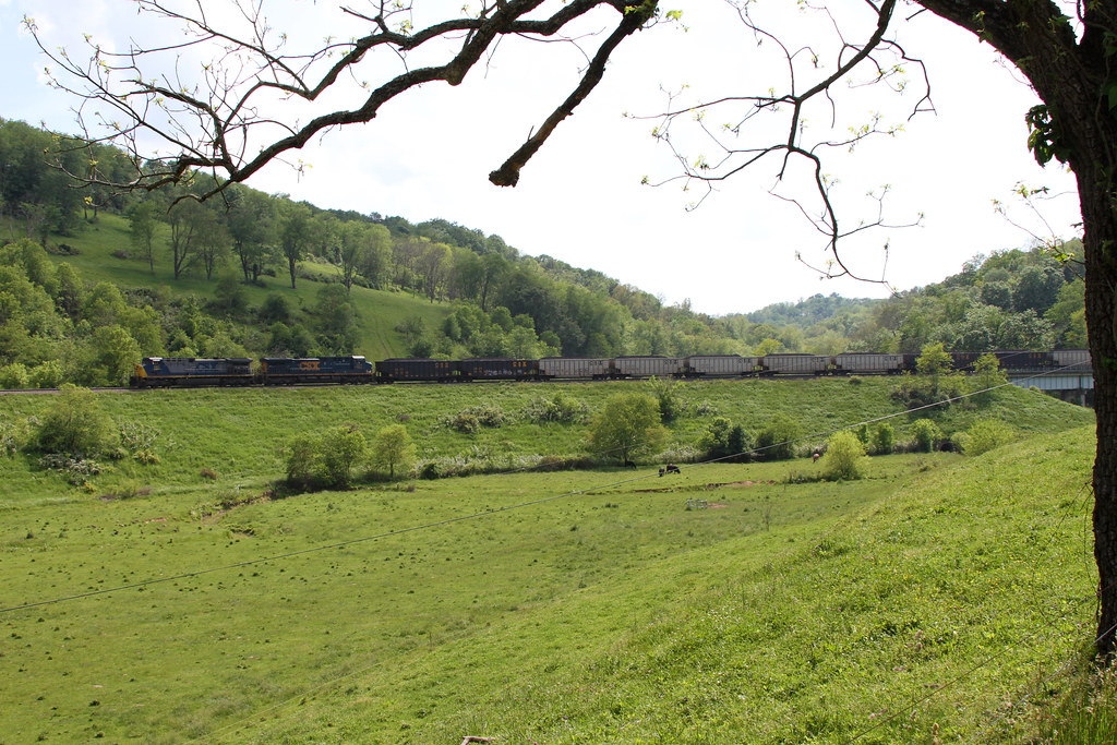
NS N72 @ Sycamore
Topographic Map of Champion Dr, Waynesburg, PA, USA
Find elevation by address:

Places near Champion Dr, Waynesburg, PA, USA:
Waynesburg
Smith Creek Rd, Waynesburg, PA, USA
4th St, Waynesburg, PA, USA
Barton Hollow Road
Greene County
Mcquay Road
Center Township
Golden Oaks Rd, Holbrook, PA, USA
Bluffridge Rd, Holbrook, PA, USA
Jackson Township
Blockhouse Rd, Holbrook, PA, USA
Gilmore Township
Ryerson Station State Park
Richhill Township
Finch Road
T, New Freeport, PA, USA
Aleppo
New Freeport
Freeport Township
Aleppo Township
Recent Searches:
- Elevation of Congressional Dr, Stevensville, MD, USA
- Elevation of Bellview Rd, McLean, VA, USA
- Elevation of Stage Island Rd, Chatham, MA, USA
- Elevation of Shibuya Scramble Crossing, 21 Udagawacho, Shibuya City, Tokyo -, Japan
- Elevation of Jadagoniai, Kaunas District Municipality, Lithuania
- Elevation of Pagonija rock, Kranto 7-oji g. 8"N, Kaunas, Lithuania
- Elevation of Co Rd 87, Jamestown, CO, USA
- Elevation of Tenjo, Cundinamarca, Colombia
- Elevation of Côte-des-Neiges, Montreal, QC H4A 3J6, Canada
- Elevation of Bobcat Dr, Helena, MT, USA