Elevation of 35 Rocky Run Rd, West Finley, PA, USA
Location: United States > Pennsylvania > Washington County > East Finley Township > West Finley >
Longitude: -80.388215
Latitude: 40.023861
Elevation: 334m / 1096feet
Barometric Pressure: 97KPa
Elevation Map:
Satellite Map:
Related Photos:
It's About Time
Back to Bailey

Montgomery House

Crow Farm
Mooney Farm
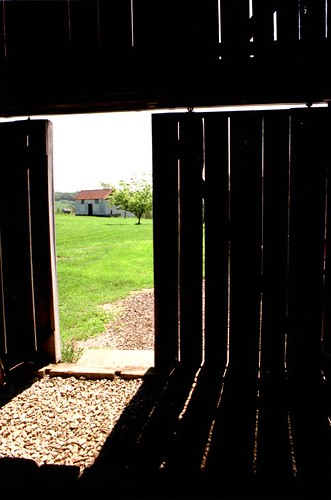
Barn Door
Lower Enlow Road

Steep pipeline right-of-way
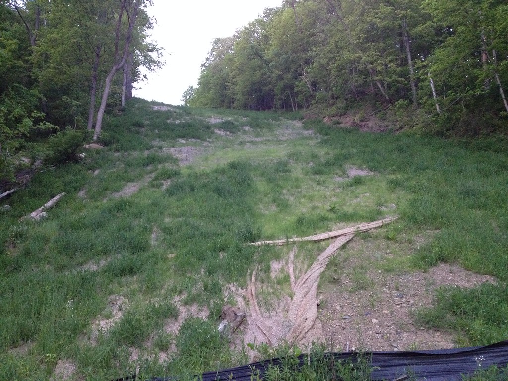
It's still steep!
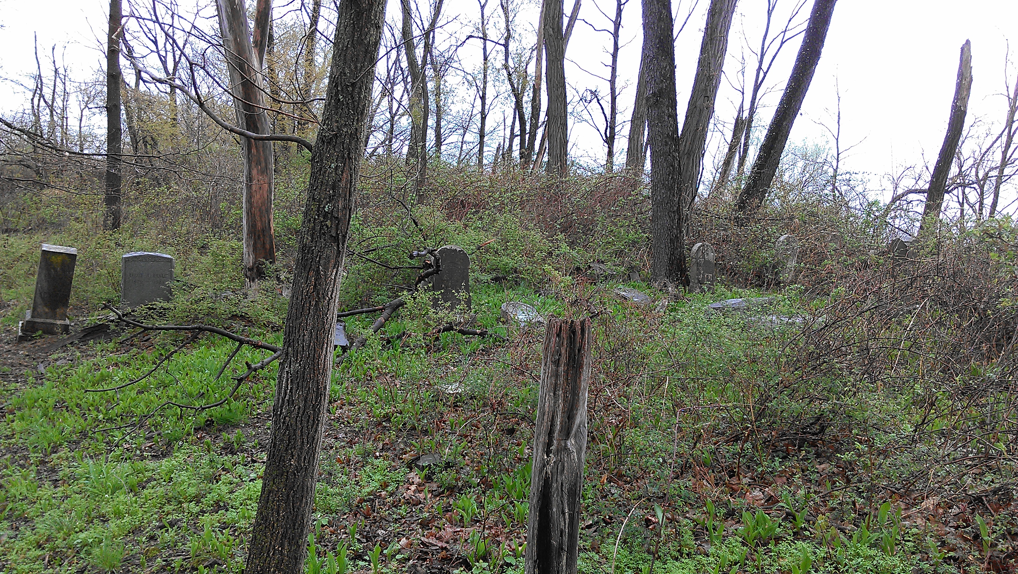
View (approx) WNW from eastern edge of Durbin Cemetery
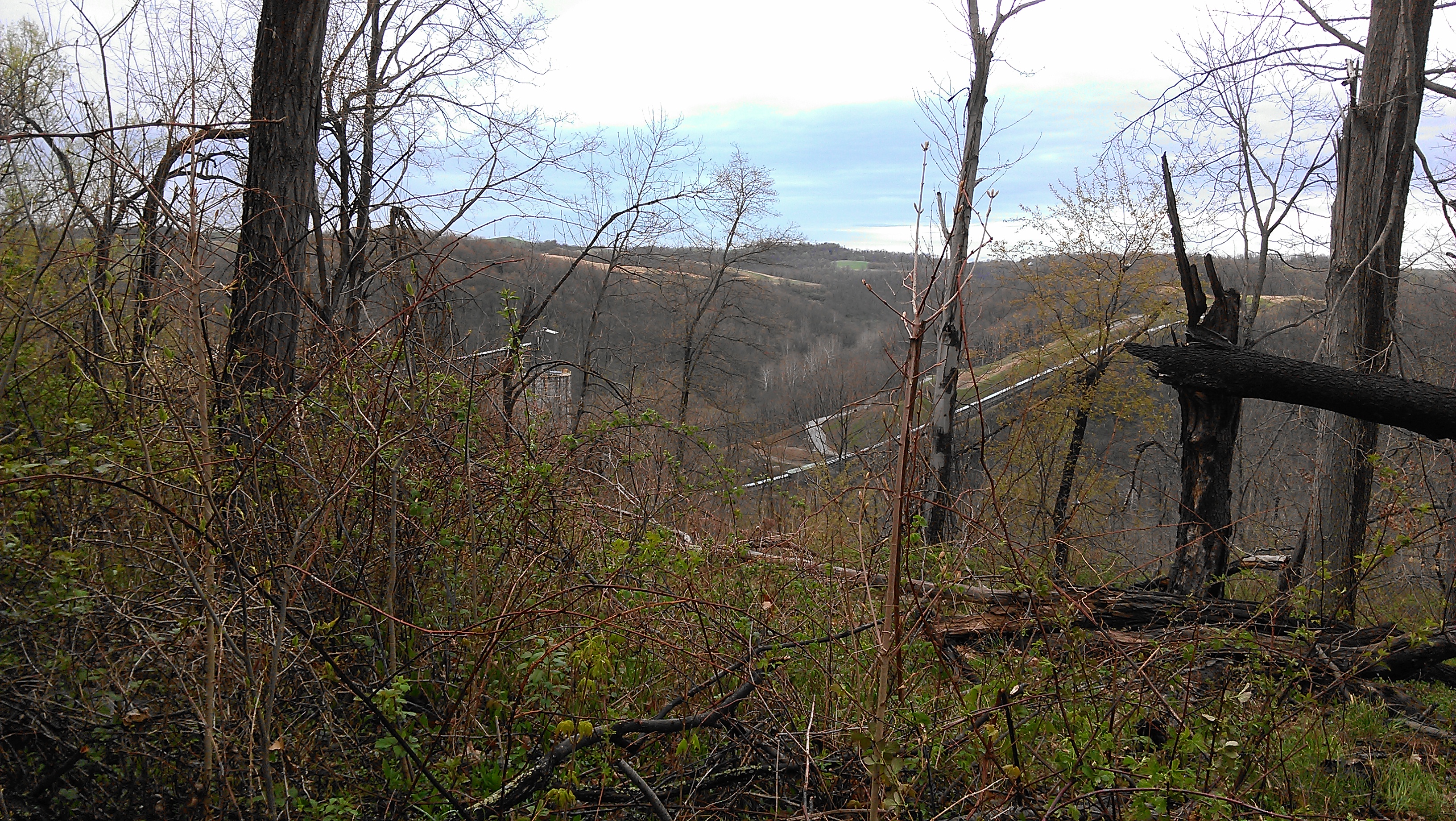
View facing (approx) NNW from Durbin Cemetery
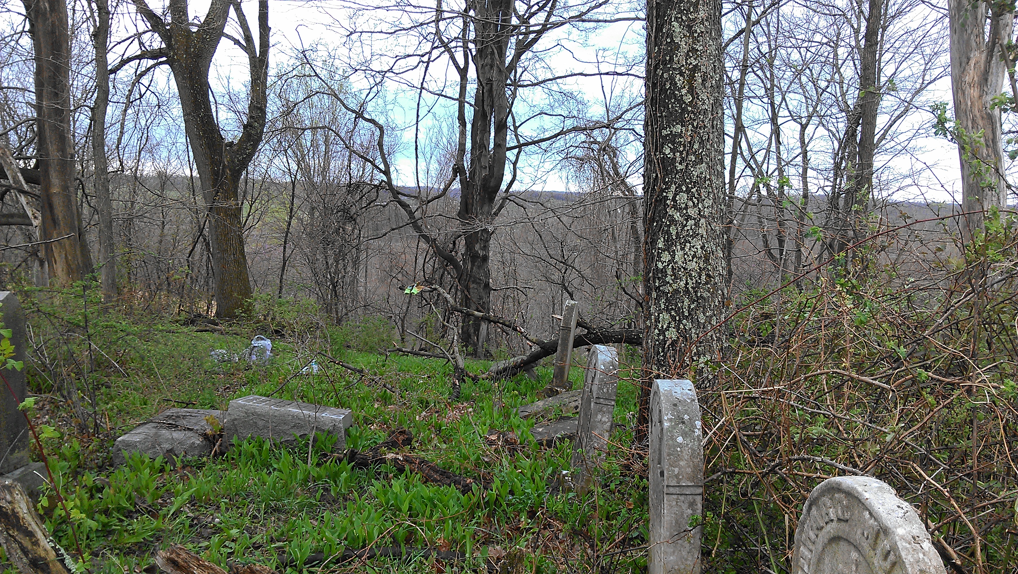
View facing (approx) S in Durbin Cemetery

View facing E from Durbin Cemetery

View to the E from Durbin Cemetery
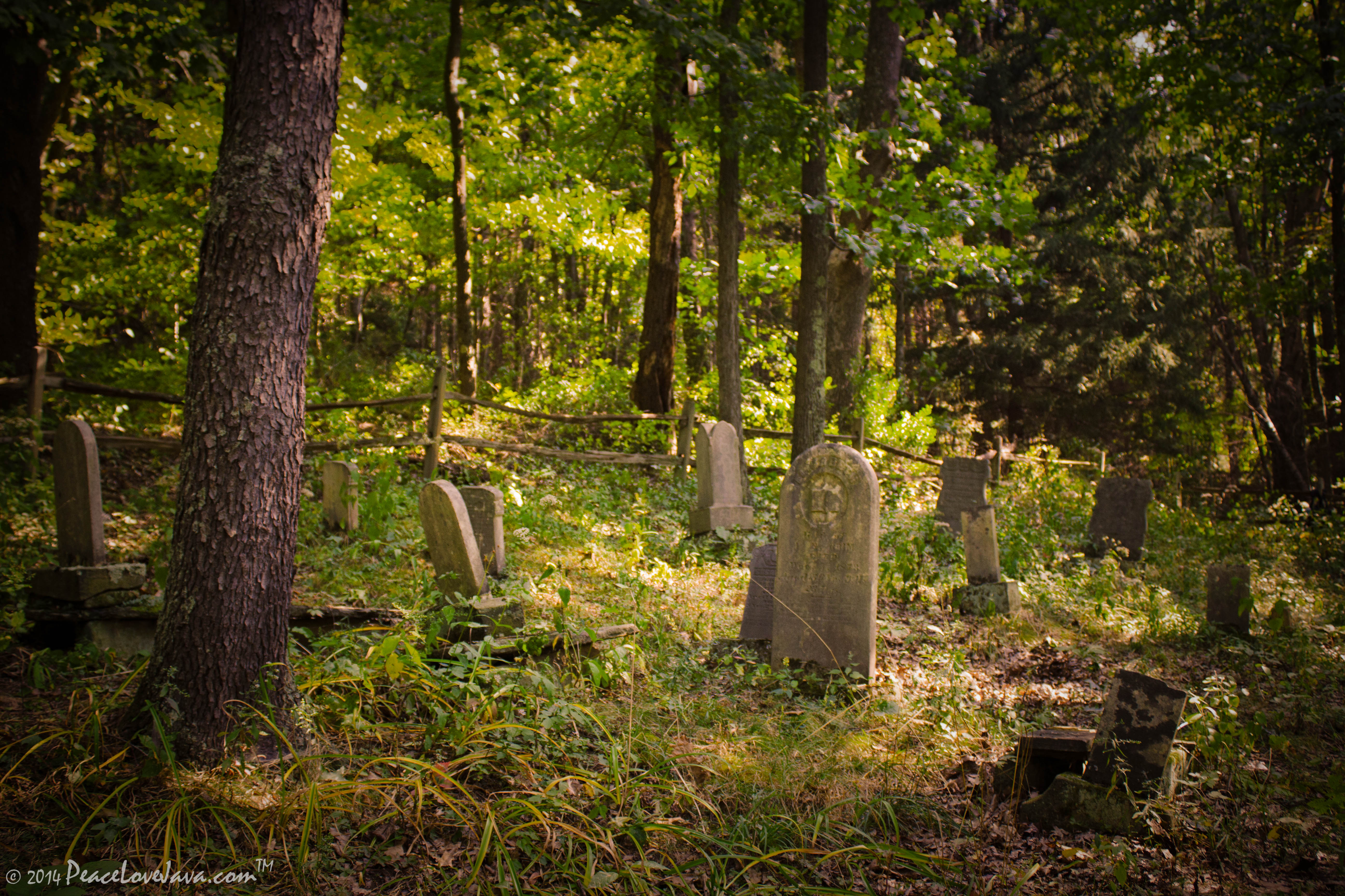
Chess Cemetery

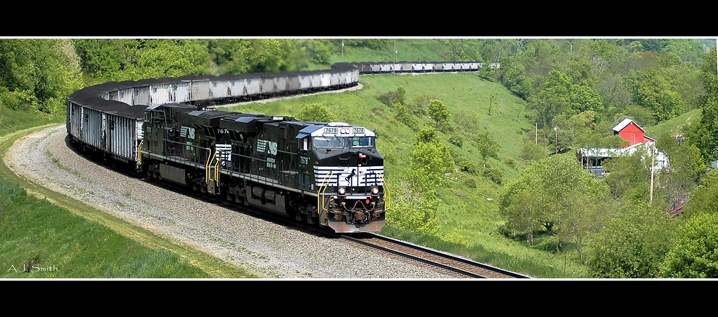
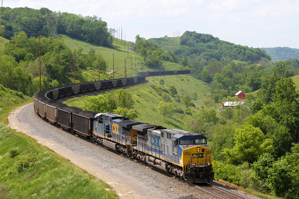
Coal at Time
Along the MGA
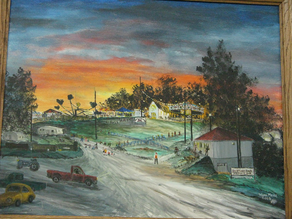
Jacktown Fair Grounds

Dogwood Hills golf course. Edited with the Flickr app. HDR with my HTC One.
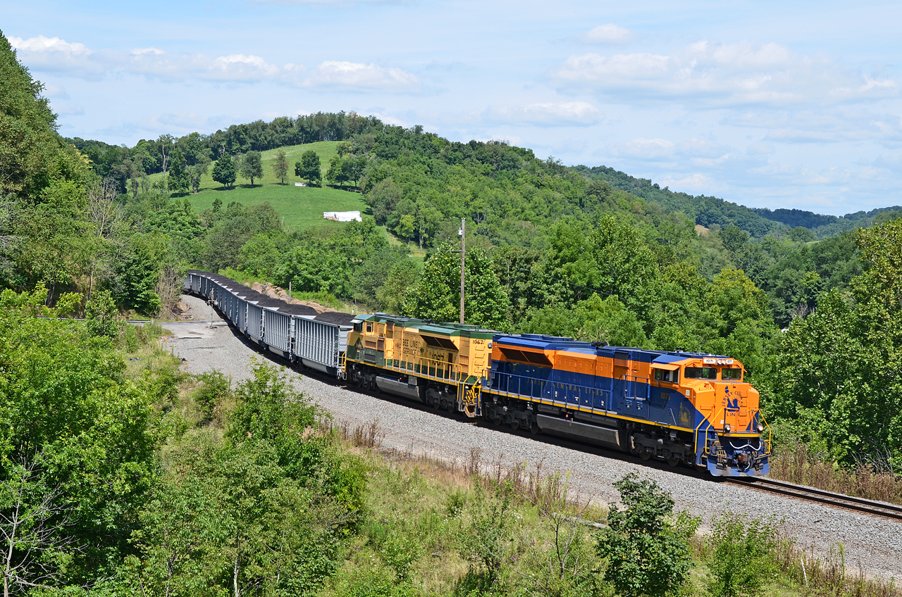
CNJ-RDG SD70ACe-1071, 1067 N/B N-24 at West Run Rd., Sycamore, PA
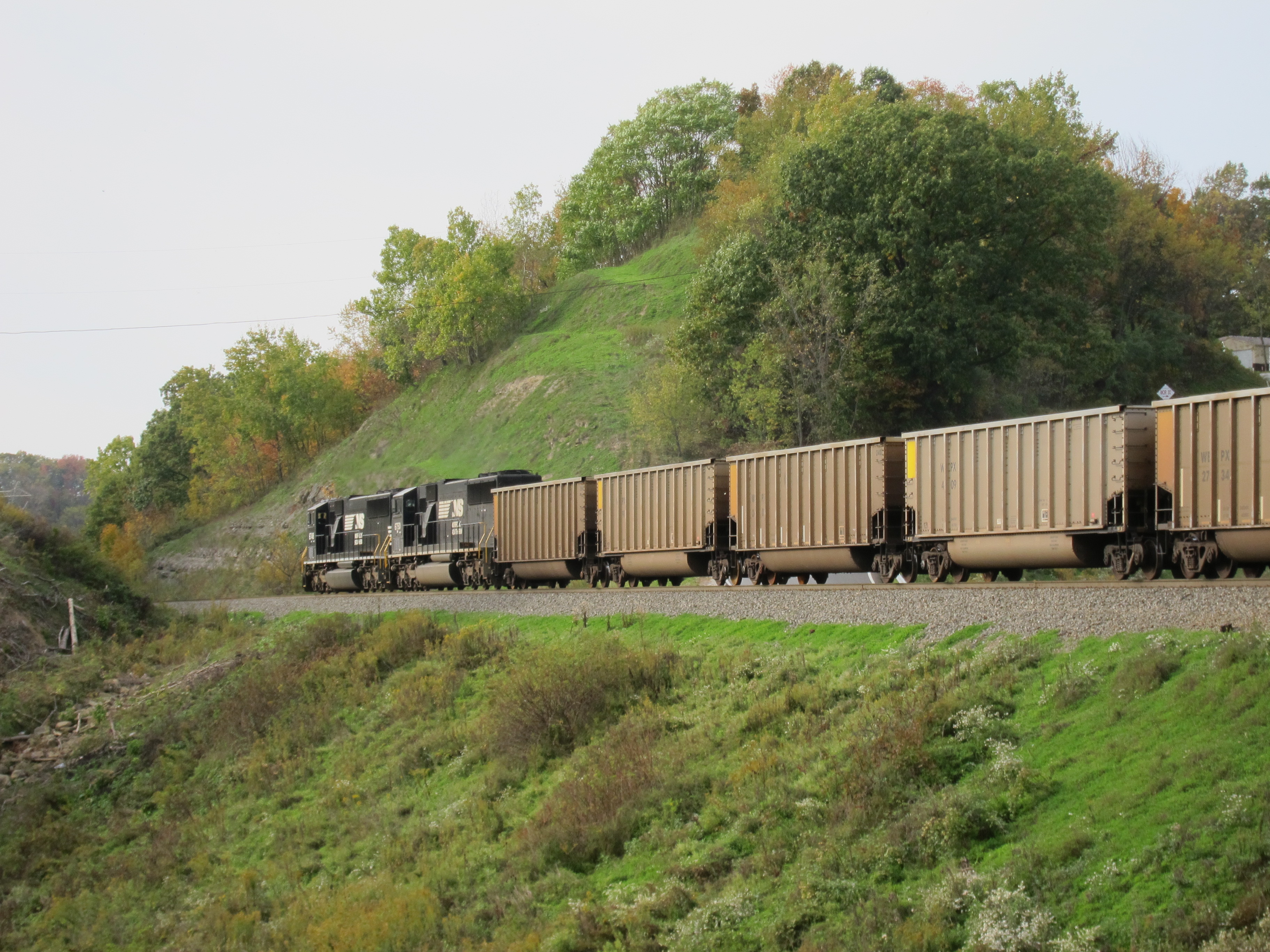
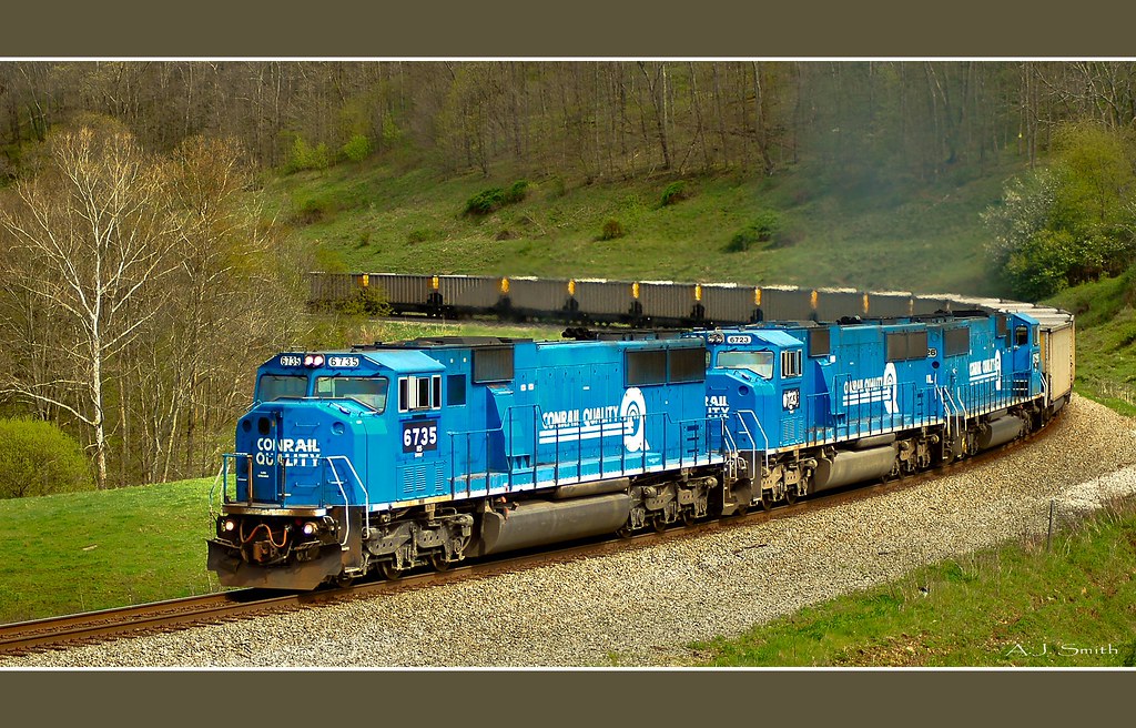
Coal Train
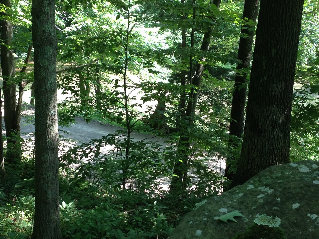
Crows' Rock and Crow Creek

Old creek road
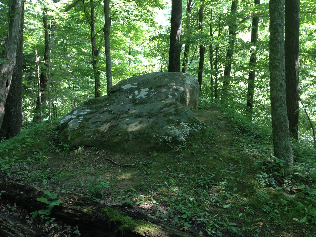
Crows' Rock

Four Seasons Resort (fall is my fave)!

Penn's Woods
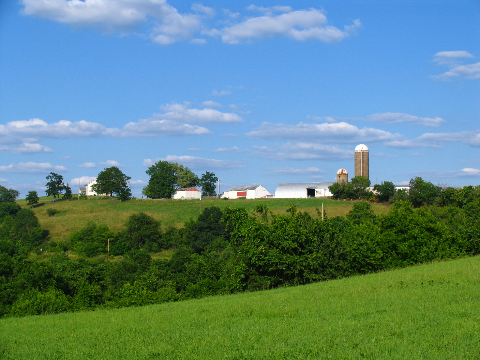
Rural Washington County Farm

Pipeline Right-of-Way

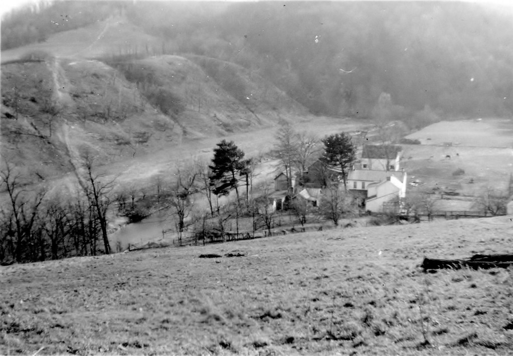
Site of Farmhouse

Columbia Gas Well

Crows' Rock: looking west

NS N72 @ Time
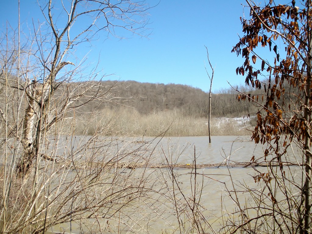
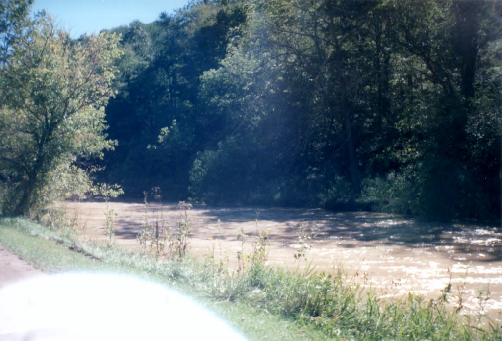
Flooded bottom ground
Topographic Map of 35 Rocky Run Rd, West Finley, PA, USA
Find elevation by address:

Places near 35 Rocky Run Rd, West Finley, PA, USA:
East Finley Township
West Finley
Walker Hill Road
790 Sr3037
West Finley Township
2568 E Finley Dr
2568 E Finley Dr
2568 E Finley Dr
2568 E Finley Dr
Graysville
Prosperity
Claysville
Stockdale School Road
4391 Us-40
156 Wilhelm Rd
Fleming Hollow Road
236 Clovis Ridge Rd
Morris Township
W W Rd, Sycamore, PA, USA
Wind Ridge
Recent Searches:
- Elevation of Brooks Lp, Spearfish, SD, USA
- Elevation of Panther Dr, Maggie Valley, NC, USA
- Elevation of Jais St - Wadi Shehah - Ras al Khaimah - United Arab Emirates
- Elevation of Shawnee Avenue, Shawnee Ave, Easton, PA, USA
- Elevation of Scenic Shore Dr, Kingwood Area, TX, USA
- Elevation of W Prive Cir, Delray Beach, FL, USA
- Elevation of S Layton Cir W, Layton, UT, USA
- Elevation of F36W+3M, Mussoorie, Uttarakhand, India
- Elevation of Fairland Ave, Fairhope, AL, USA
- Elevation of Sunset Dr, Richmond, VA, USA