Elevation of Wilhelm Rd, West Alexander, PA, USA
Location: United States > Pennsylvania > Washington County > Donegal Township >
Longitude: -80.453749
Latitude: 40.1046173
Elevation: 326m / 1070feet
Barometric Pressure: 97KPa
Elevation Map:
Satellite Map:
Related Photos:

Non-Typical Buck
Sprowls Covered Bridge, barrel view, Washington County, PA

Wyit Sprowls Covered Bridge, barrel view, Washington County, PA

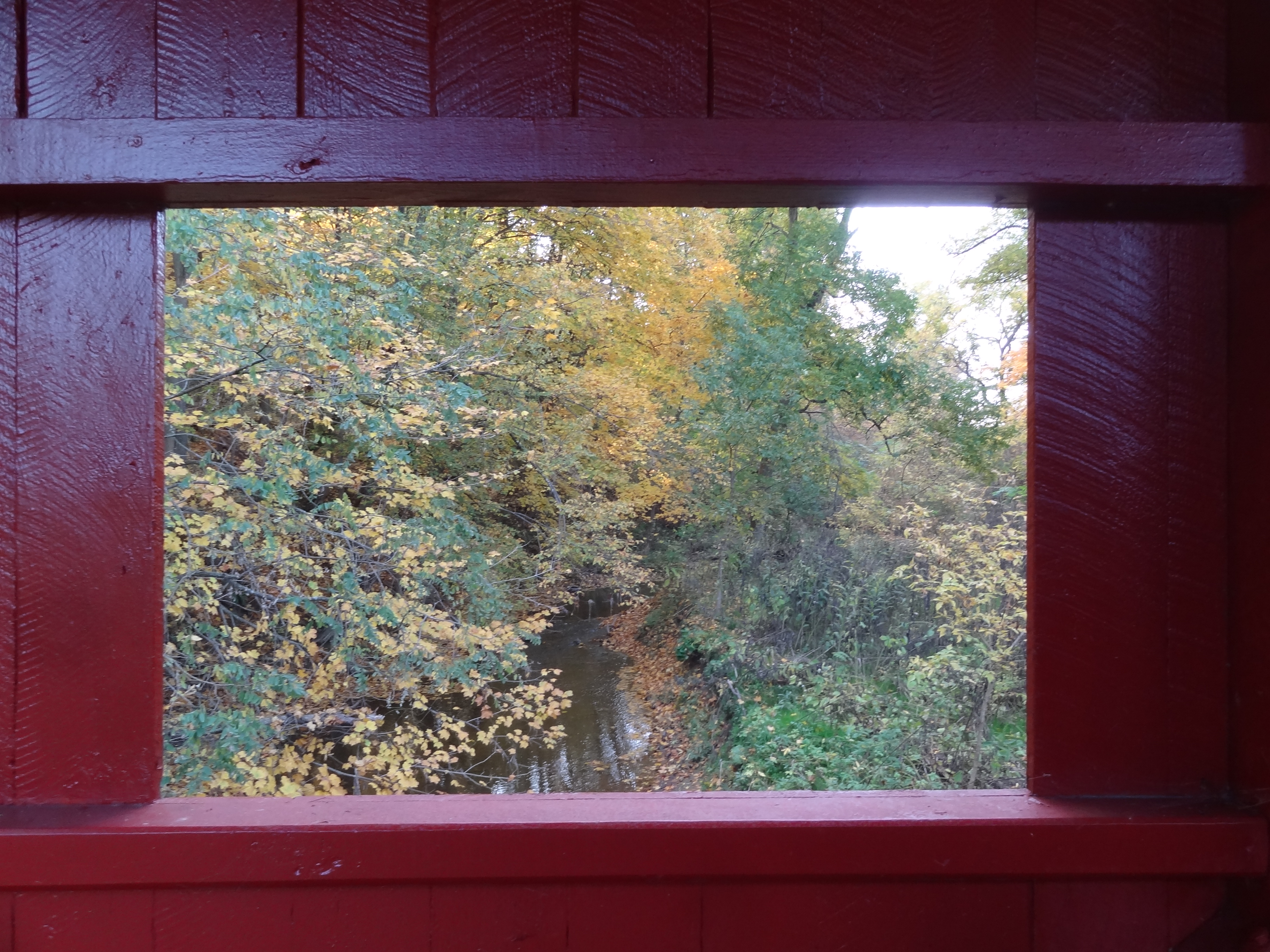
Wyit Sprowls Covered Bridge, left window view, Washington County, PA

Wyit Sprowls Covered Bridge, right window view, Washington County, PA

Wyit Sprowls Covered Bridge, side view, Washington County, PA

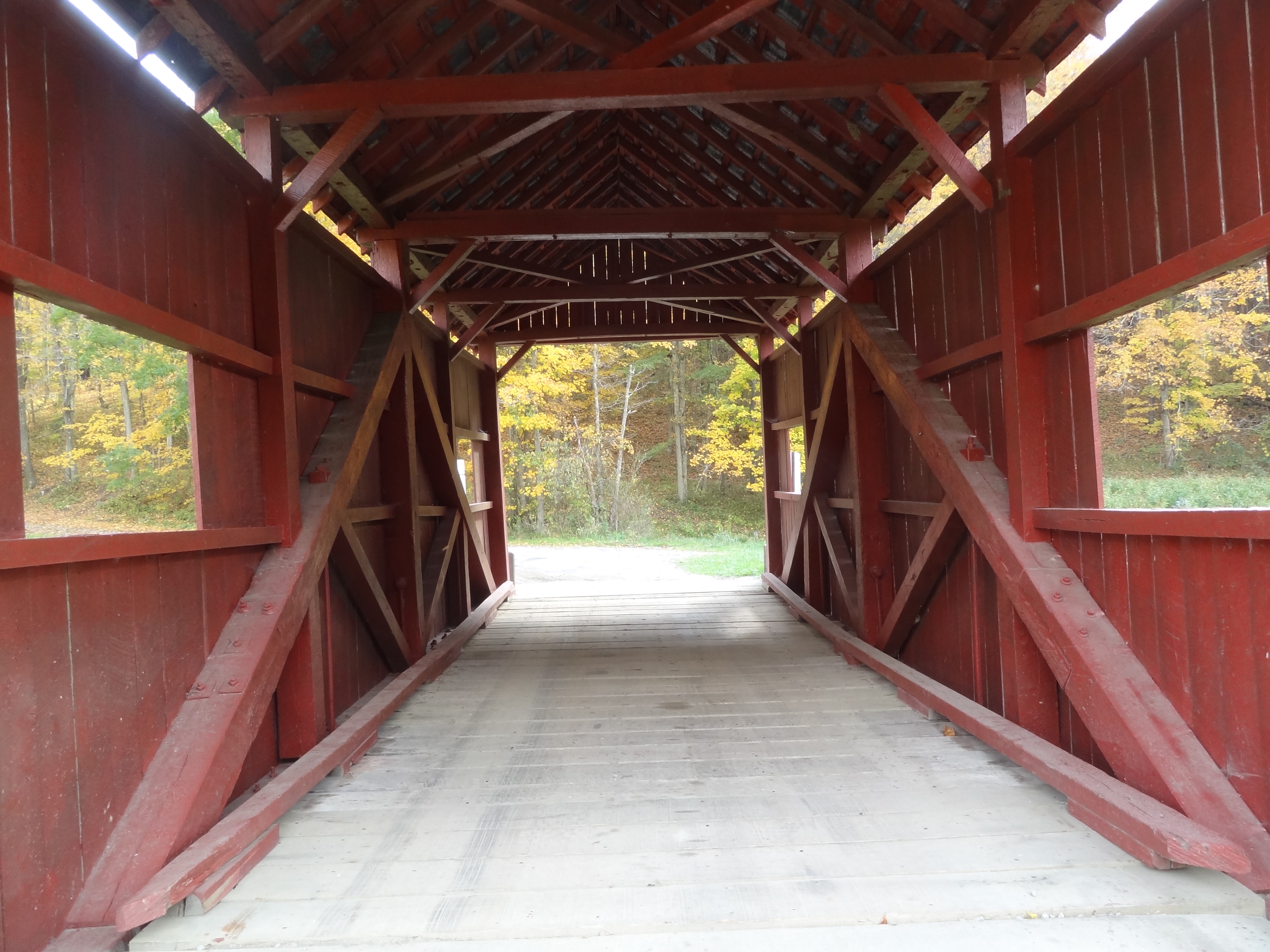
Wyit Sprowls Covered Bridge, truss view, Washington County, PA
Wright Covered Bridge, window view, Washington County, PA

Plants Covered Bridge, barrel view, Washington County, PA

Montgomery House

Rutting Buck
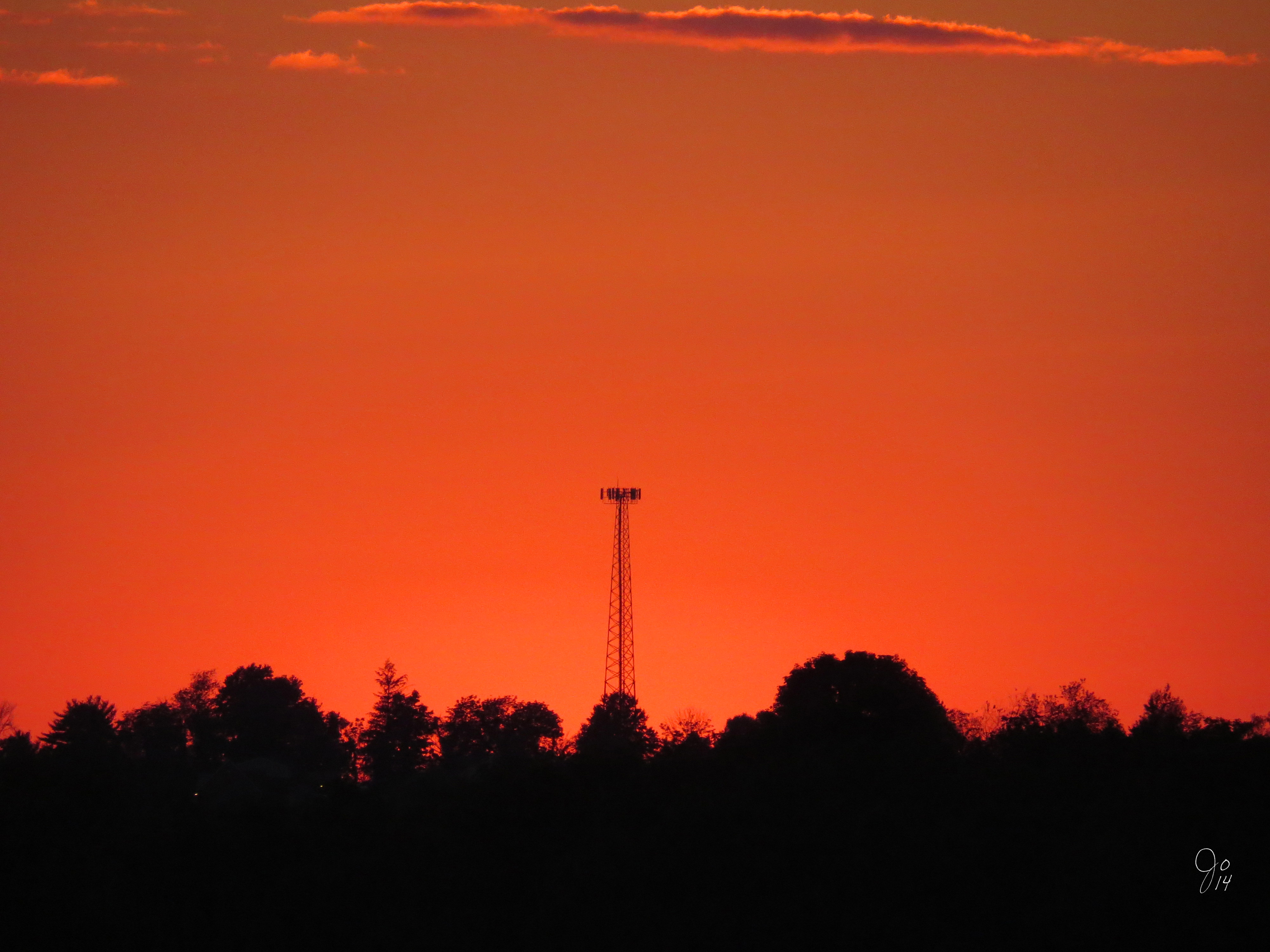
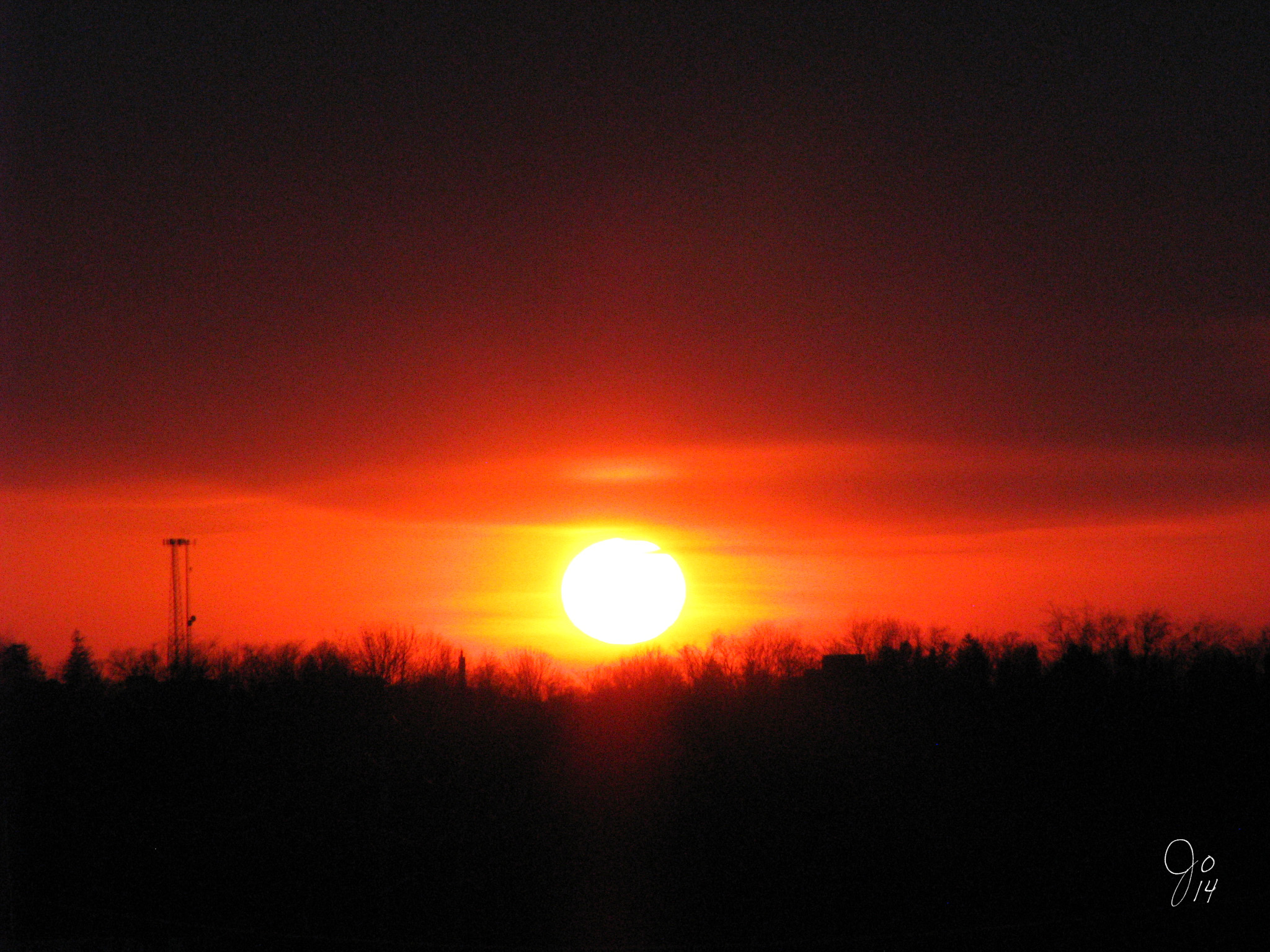
Sunset at The Highlands
Wheeling WV Highlands Sunset

Wheeling WV Highlands Sunset

Arctic Wolf

Wheeling WV Highlands Sunset

Flying Dog
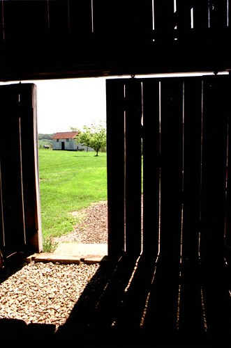
Barn Door

Buck and a Doe

Sunset at The Highlands
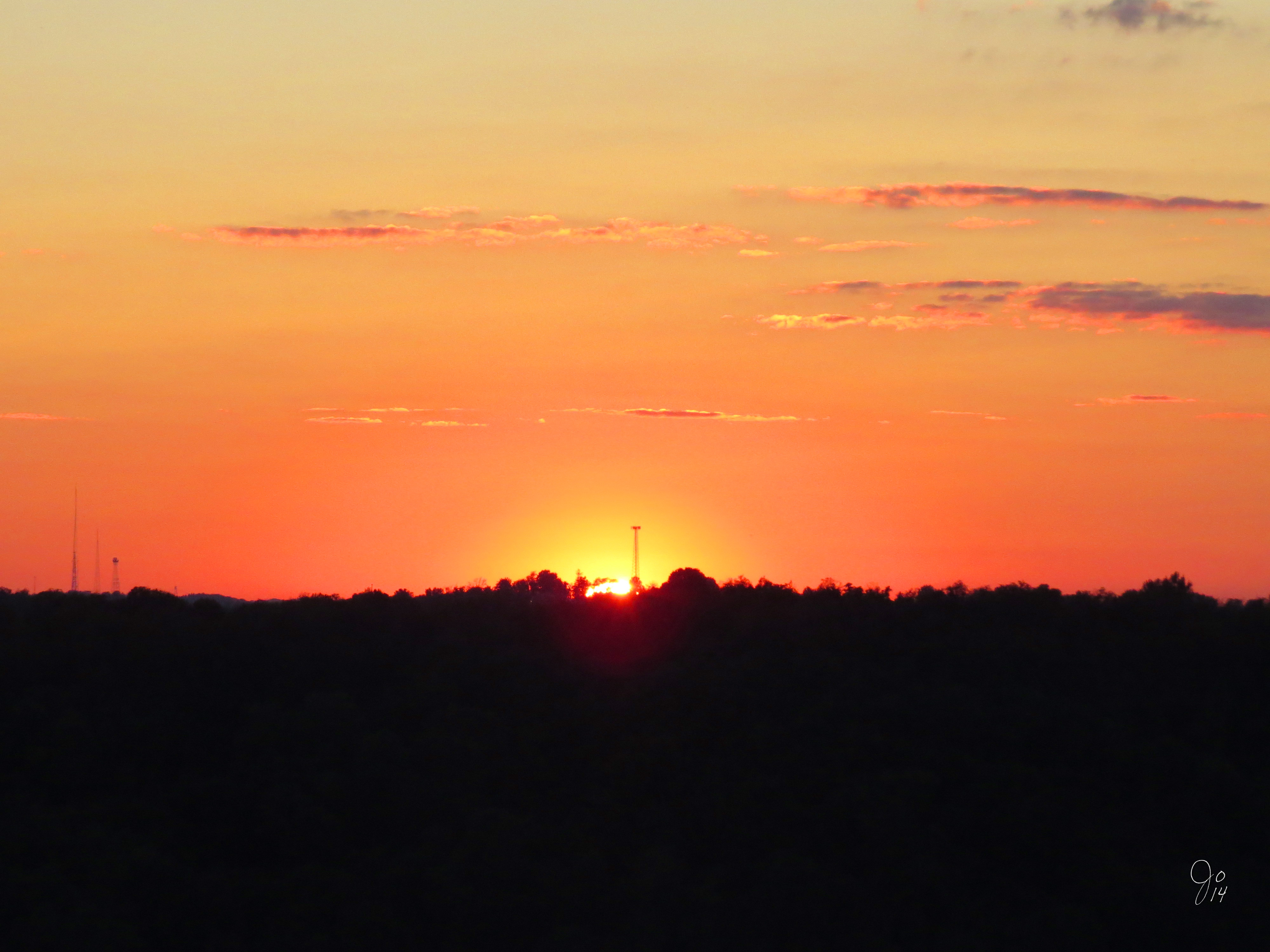
Sunset at The Highlands

Penn's Woods
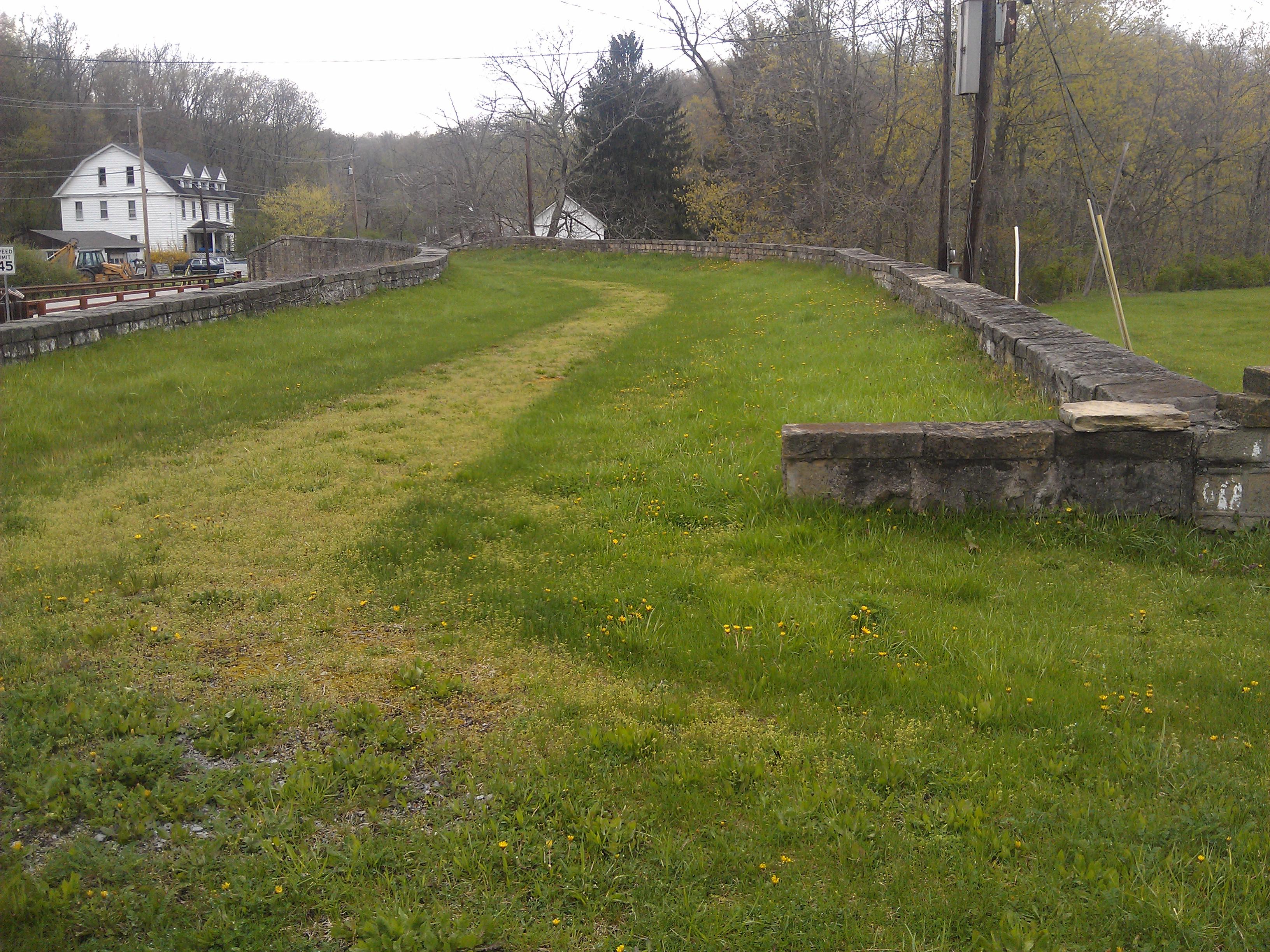
'S' Bridge- Washington County PA (3)
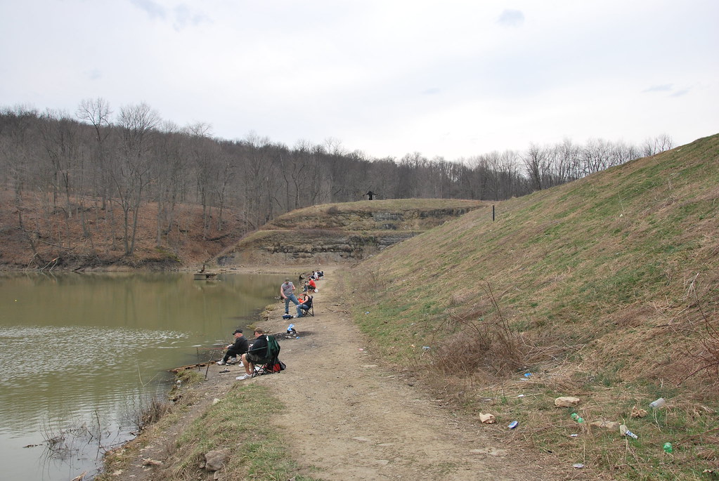
Castleman Run Lake Dam
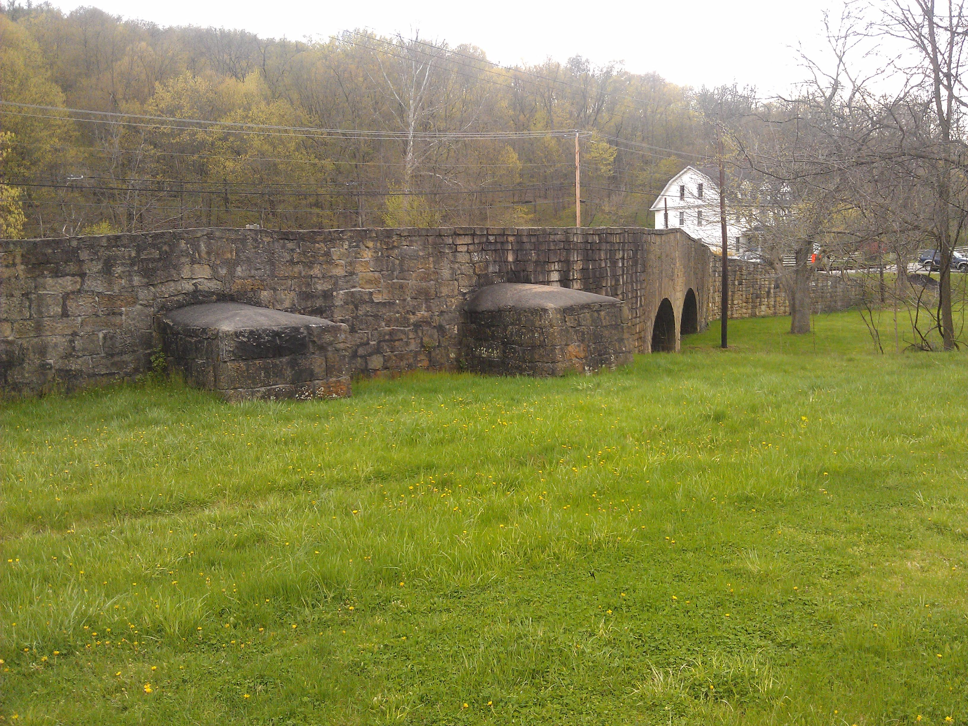
'S' Bridge- Washington County PA (4)
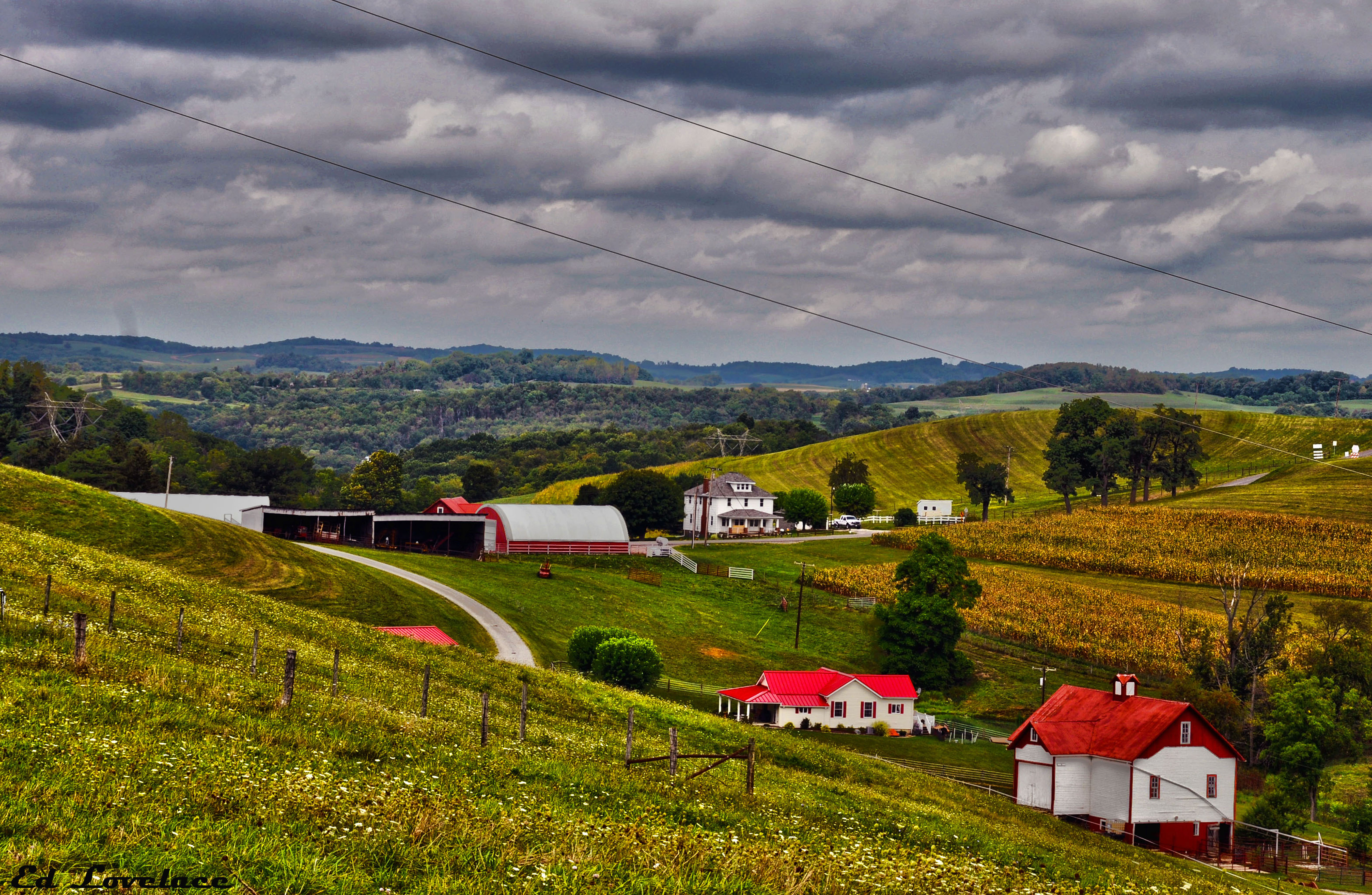
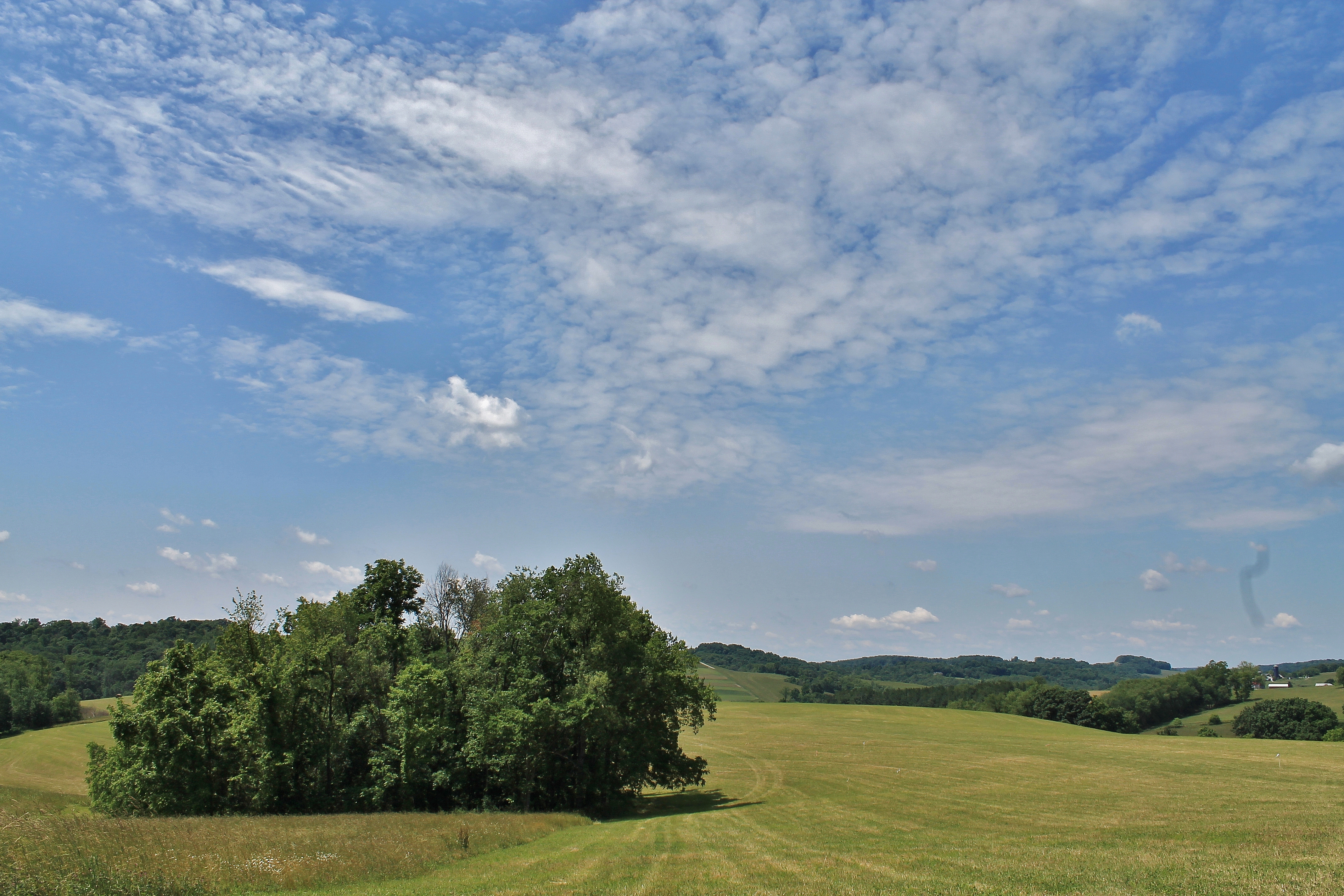
Rolling Farm Lands

Dogwood Hills golf course. Edited with the Flickr app. HDR with my HTC One.

IMG_2426 - Copy

Econo Lodge--Jenkins Ln, WV, Ohio Co, WV - Nov 27, 2015
Rural Washington County Farm

Four Seasons Resort (fall is my fave)!
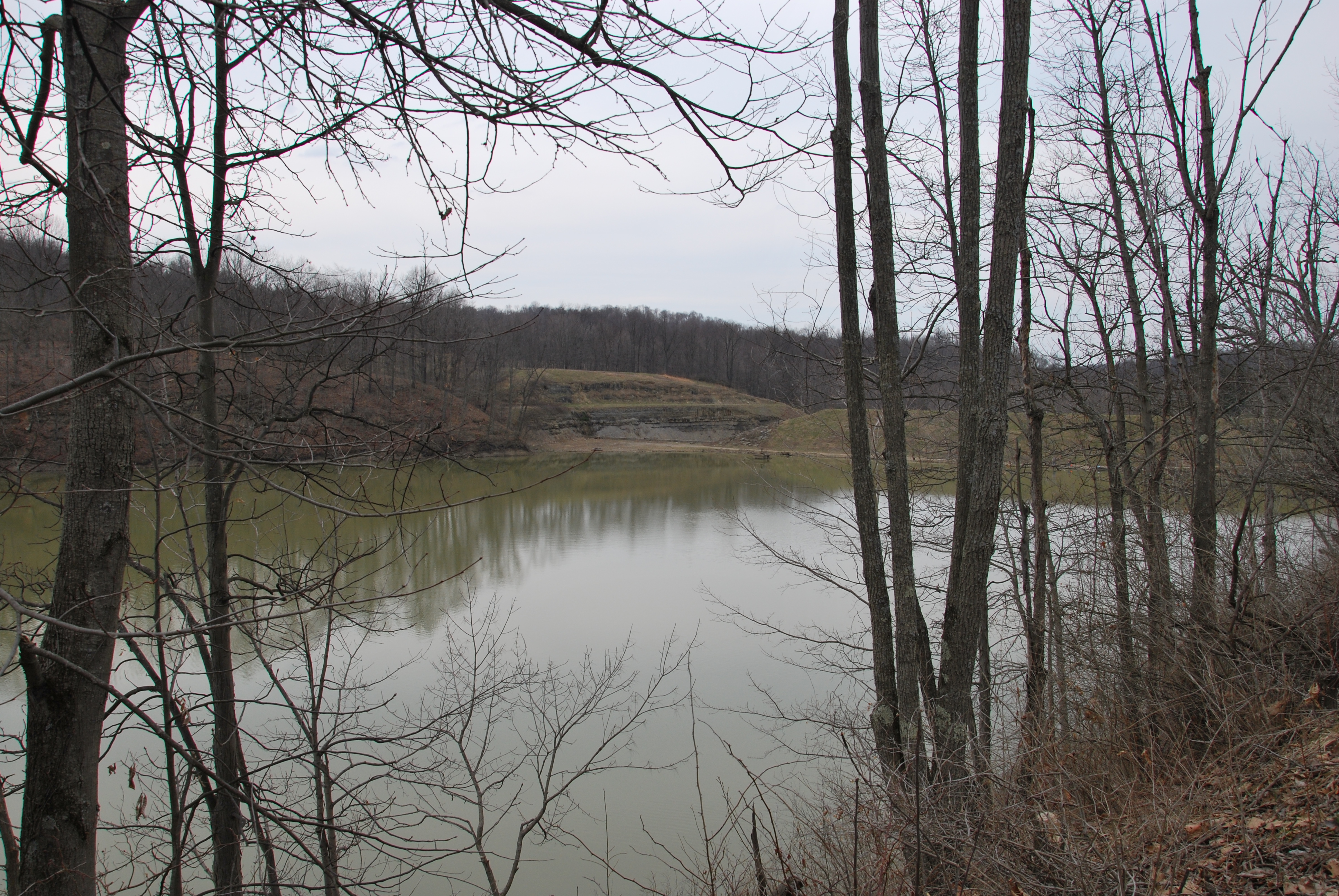
Castleman Run Lake WMA

tim cell phone pics 2504
Washignton, Pa

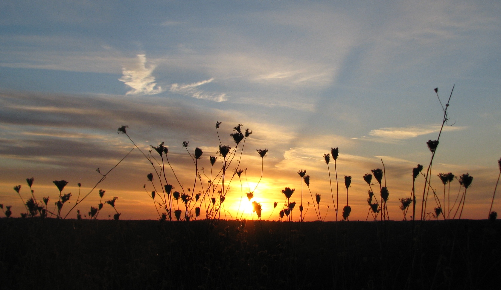
Sun sets on a landscape of commerce

Another Flying Dog
Wheeling WV Sunset

Eastern Meadowlark

Bear Rock Lakes WMA
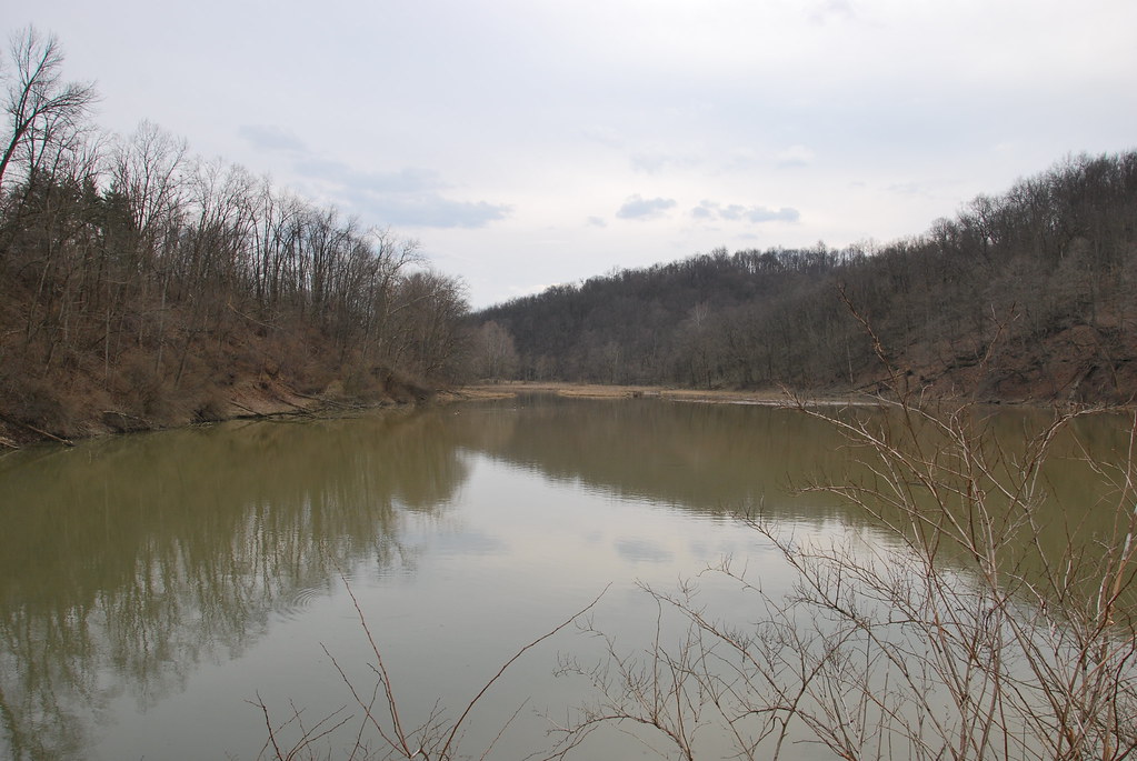
Castleman Run Lake WMA
Bear Rock Lakes WMA
Topographic Map of Wilhelm Rd, West Alexander, PA, USA
Find elevation by address:

Places near Wilhelm Rd, West Alexander, PA, USA:
Donegal Township
2568 E Finley Dr
2568 E Finley Dr
2568 E Finley Dr
2568 E Finley Dr
Claysville
4391 Us-40
32 Longview Ln
90 Mcguffey Dr
Buffalo Township
Independence Township
Coffeys Crossing Rd, Washington, PA, USA
West Middletown
6 W Main St, Avella, PA, USA
US-40, Washington, PA, USA
Washington Pike, Avella, PA, USA
Park Ave, Washington, PA, USA
South Franklin Township
Park Avenue
60 Mark Ave
Recent Searches:
- Elevation of Leguwa, Nepal
- Elevation of County Rd, Enterprise, AL, USA
- Elevation of Kolchuginsky District, Vladimir Oblast, Russia
- Elevation of Shustino, Vladimir Oblast, Russia
- Elevation of Lampiasi St, Sarasota, FL, USA
- Elevation of Elwyn Dr, Roanoke Rapids, NC, USA
- Elevation of Congressional Dr, Stevensville, MD, USA
- Elevation of Bellview Rd, McLean, VA, USA
- Elevation of Stage Island Rd, Chatham, MA, USA
- Elevation of Shibuya Scramble Crossing, 21 Udagawacho, Shibuya City, Tokyo -, Japan