Elevation of Grand Rd, Uniontown, KS, USA
Location: United States > Kansas > Bourbon County > Marion > Uniontown >
Longitude: -94.961306
Latitude: 37.7596895
Elevation: 282m / 925feet
Barometric Pressure: 98KPa
Elevation Map:
Satellite Map:
Related Photos:
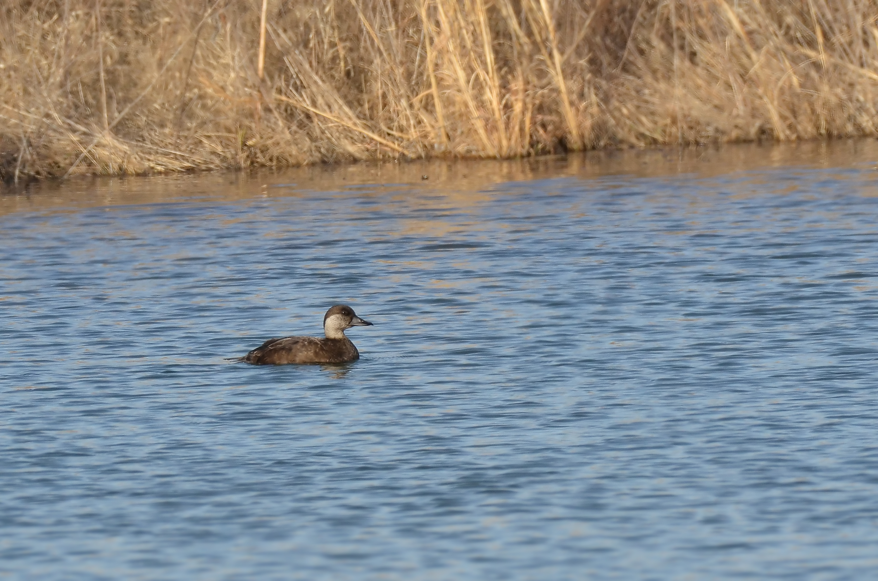
Black Scoter

Rural Crawford County Kansas

Rural Bourbon County Kansas

Hepler Kansas

Rural Crawford County Kansas

Rural Bourbon County Kansas

Rural Crawford County Kansas

Rural Bourbon County Kansas

Rural Crawford County Kansas

Rural Crawford County Kansas

Rural Crawford County Kansas
Topographic Map of Grand Rd, Uniontown, KS, USA
Find elevation by address:

Places near Grand Rd, Uniontown, KS, USA:
KS-3, Uniontown, KS, USA
Walnut
Uniontown
Marion
KS-39, Walnut, KS, USA
Marmaton
Bourbon County
Walnut
th St, Fort Scott, KS, USA
4600th St & Idaho Rd
Bronson
Iowa Rd & 4600th St
Sherman
W Harrison St, Savonburg, KS, USA
Savonburg
Crawford State Park
1 W Lake Rd
Main St, Elsmore, KS, USA
Elsmore
Rainbow Organic Farms Co
Recent Searches:
- Elevation of Leguwa, Nepal
- Elevation of County Rd, Enterprise, AL, USA
- Elevation of Kolchuginsky District, Vladimir Oblast, Russia
- Elevation of Shustino, Vladimir Oblast, Russia
- Elevation of Lampiasi St, Sarasota, FL, USA
- Elevation of Elwyn Dr, Roanoke Rapids, NC, USA
- Elevation of Congressional Dr, Stevensville, MD, USA
- Elevation of Bellview Rd, McLean, VA, USA
- Elevation of Stage Island Rd, Chatham, MA, USA
- Elevation of Shibuya Scramble Crossing, 21 Udagawacho, Shibuya City, Tokyo -, Japan