Elevation of Uniontown, KS, USA
Location: United States > Kansas > Bourbon County > Marion >
Longitude: -94.975249
Latitude: 37.8472619
Elevation: 271m / 889feet
Barometric Pressure: 98KPa
Elevation Map:
Satellite Map:
Related Photos:
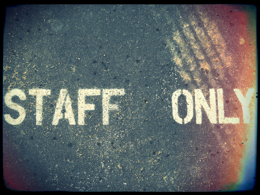
Snake 1
Small riding group

Little Schoolhouse on the Prairie - Stoney Point

White Barn, Bronson, KS
Colored Pencil Drawing
Old Bike
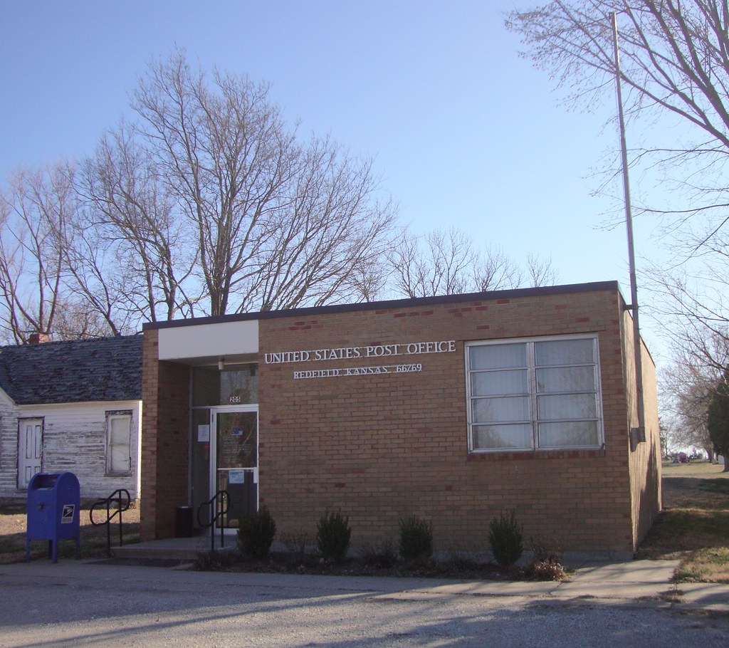
Post Office 66769 (Redfield, Kansas)
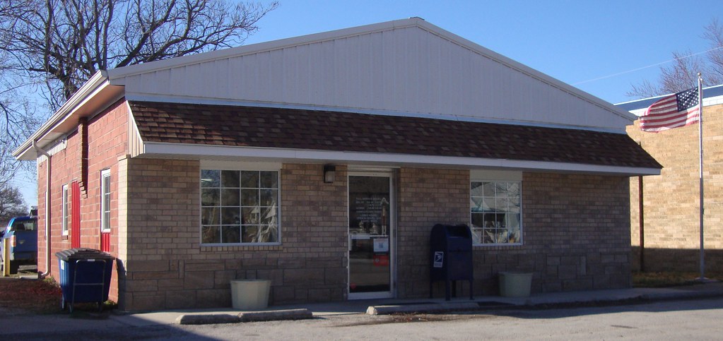
Post Office 66779 (Uniontown, Kansas)

Post Office 66716 (Bronson, Kansas)
National Geographic

Shoes on a Drain

Uniontown graduation

Colt's 6th grade promotion
barn like house
Parking Lot

Water Balloons
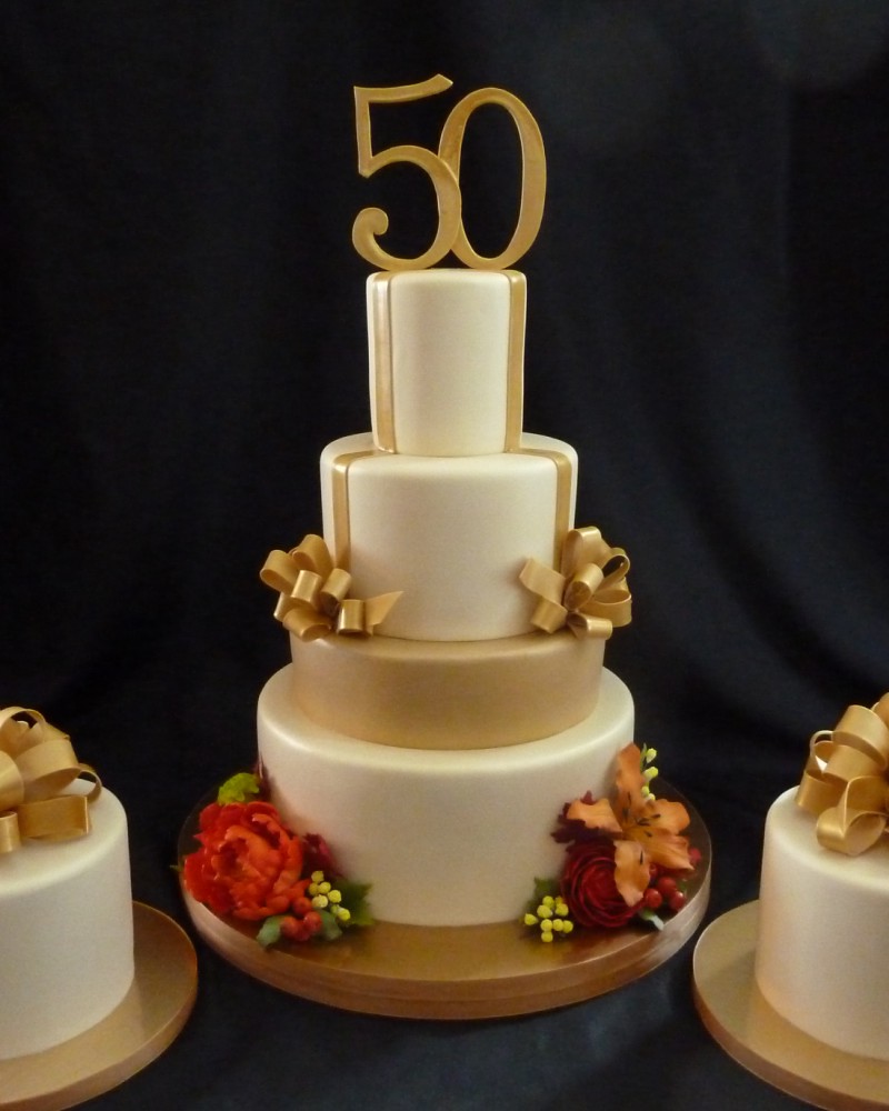
50th wedding anniversary cake

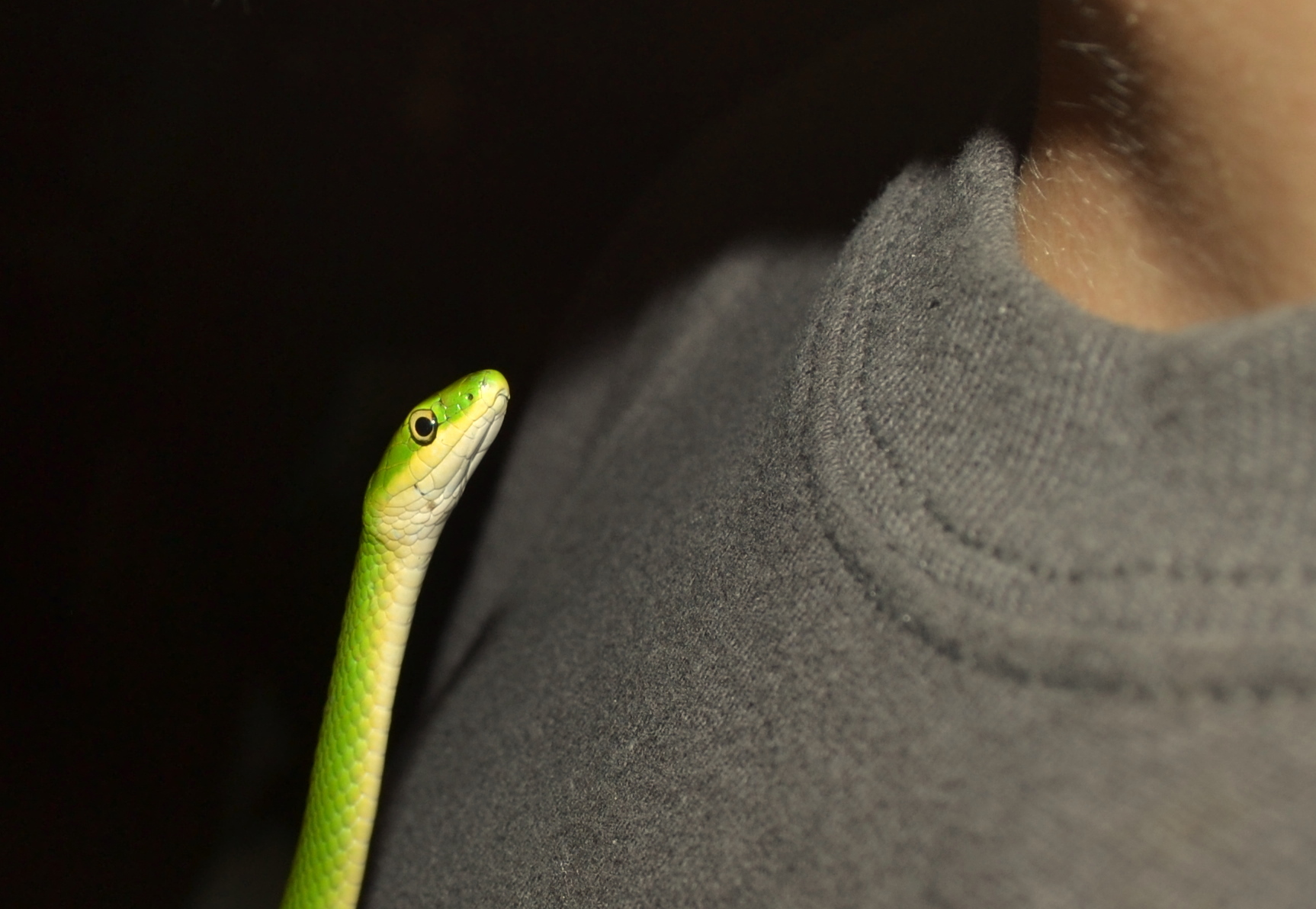
Snake 2
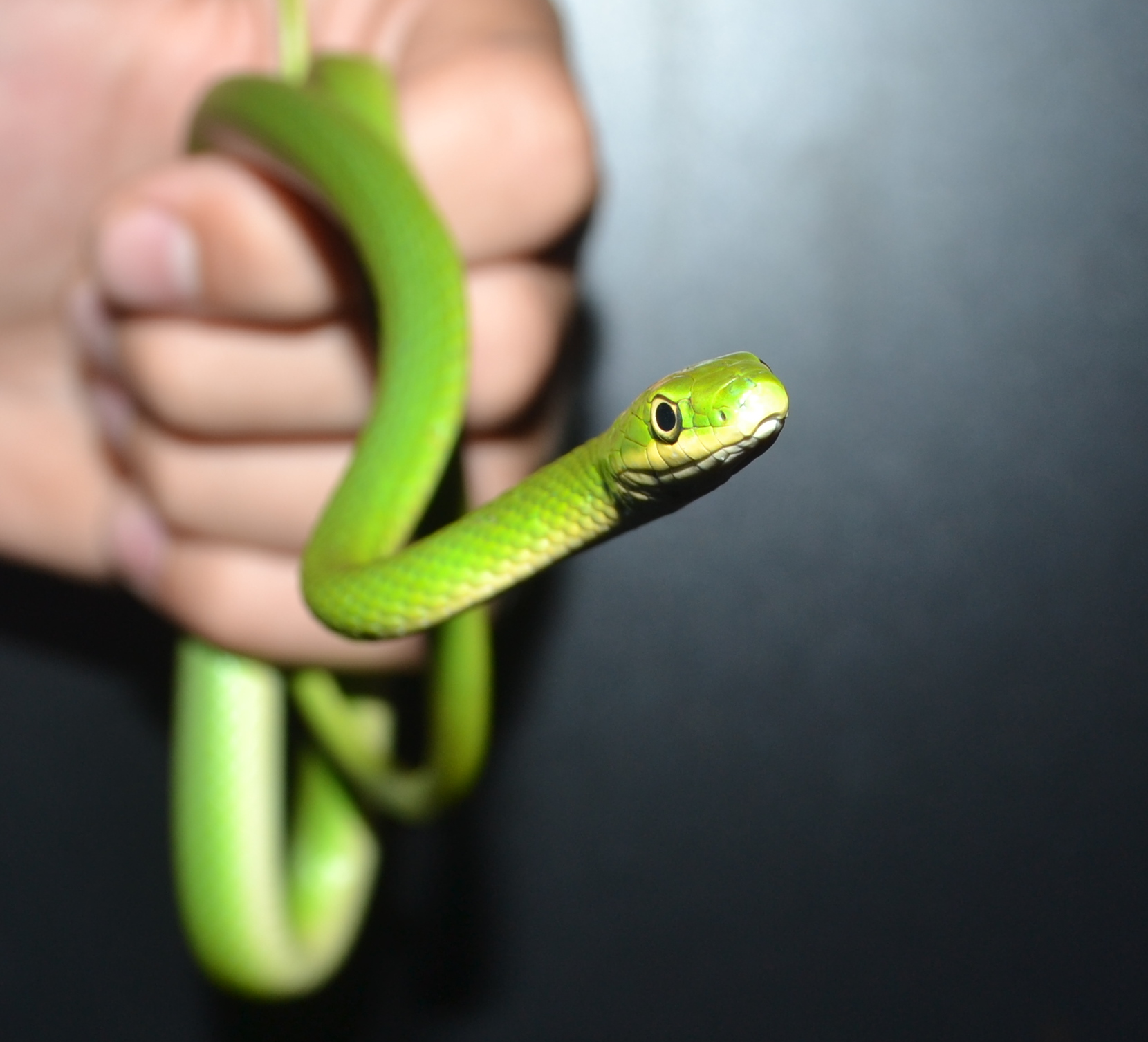
Snake 3

Snake 4
Snake 5
Topographic Map of Uniontown, KS, USA
Find elevation by address:

Places in Uniontown, KS, USA:
Places near Uniontown, KS, USA:
Marion
Rainbow Organic Farms Co
Bronson
Iowa Rd & 4600th St
4600th St & Idaho Rd
Main St, Elsmore, KS, USA
Elsmore
Marmaton
Elsmore
Moran
Iowa Rd & 3800th St
3800th St & Idaho Rd
3800th St & Maryland Rd
Nw Minnesota Rd & 3800th St
3600th St & Maryland Rd
Nw Minnesota Rd & 3600th St
Idaho Rd & 3500th St
3400 St & Maryland Rd
Oregon Rd & 3600th St
3600th St & Rhode Island Rd
Recent Searches:
- Elevation of Bernina Dr, Lake Arrowhead, CA, USA
- Elevation of N 82nd Pl, Mesa, AZ, USA
- Elevation of Snake Hill Rd, North Scituate, RI, USA
- Elevation of Lake Shore Dr, Warwick, RI, USA
- Elevation of E Brightview Ave, Pittsburgh, PA, USA
- Elevation of Cavendish Rd, Harringay Ladder, London N4 1RR, UK
- Elevation of 1 Zion Park Blvd, Springdale, UT, USA
- Elevation of Ganderbal
- Elevation map of Konkan Division, Maharashtra, India
- Elevation of Netaji Nagar, Hallow Pul, Kurla, Mumbai, Maharashtra, India