Elevation of Rainbow Organic Farms Co, 55th St, Bronson, KS, USA
Location: United States > Kansas > Bourbon County > Franklin > Bronson >
Longitude: -95.006473
Latitude: 37.9468742
Elevation: 319m / 1047feet
Barometric Pressure: 98KPa
Elevation Map:
Satellite Map:
Related Photos:
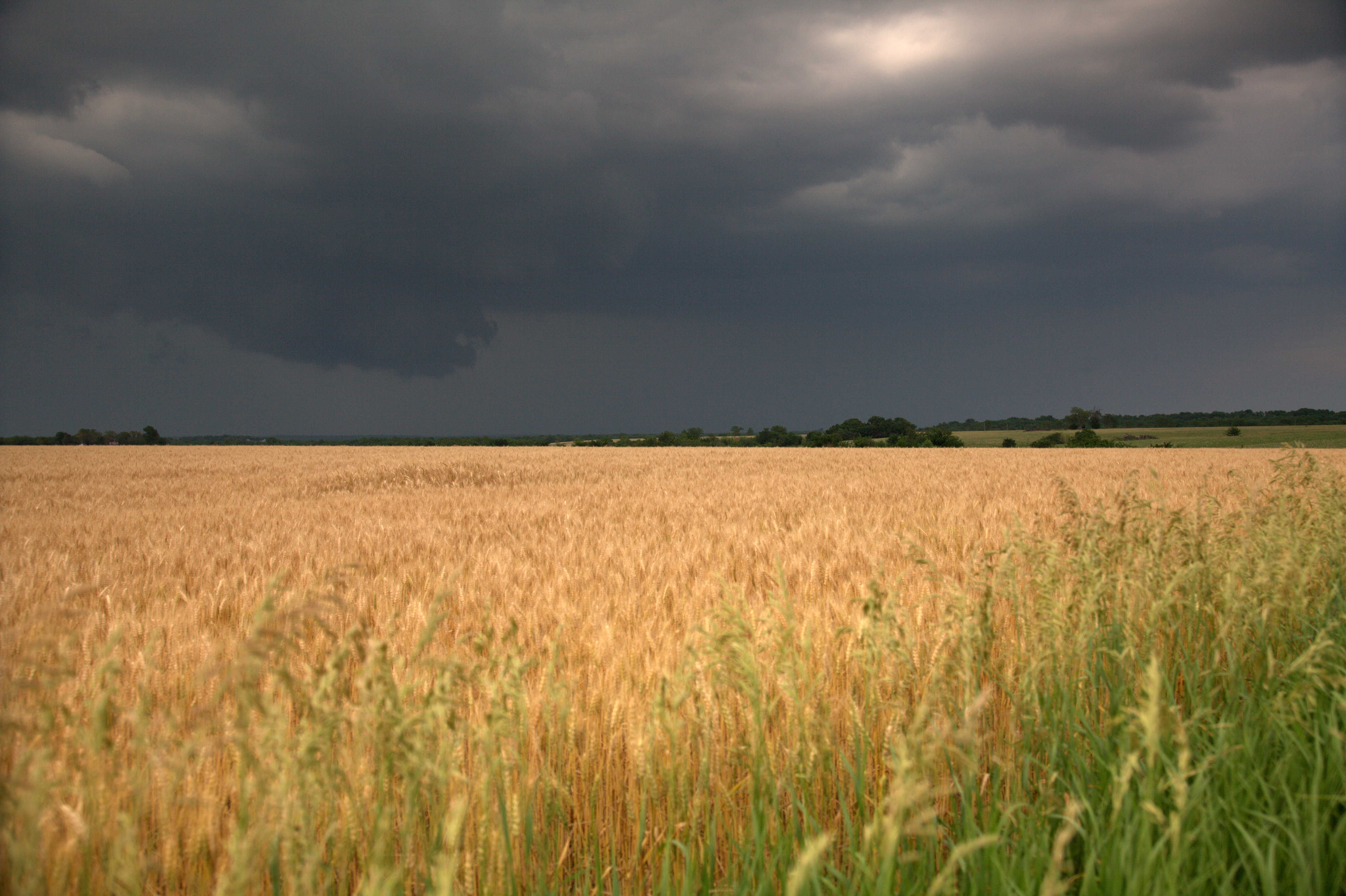
Across the field
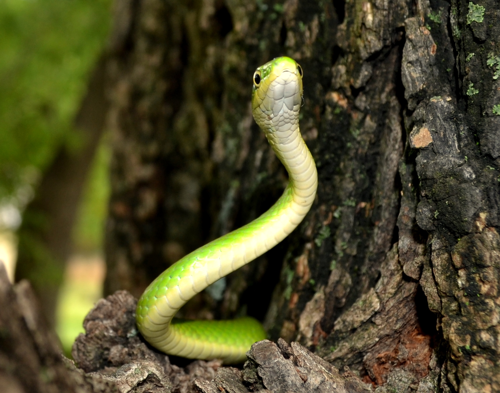
Snake 1
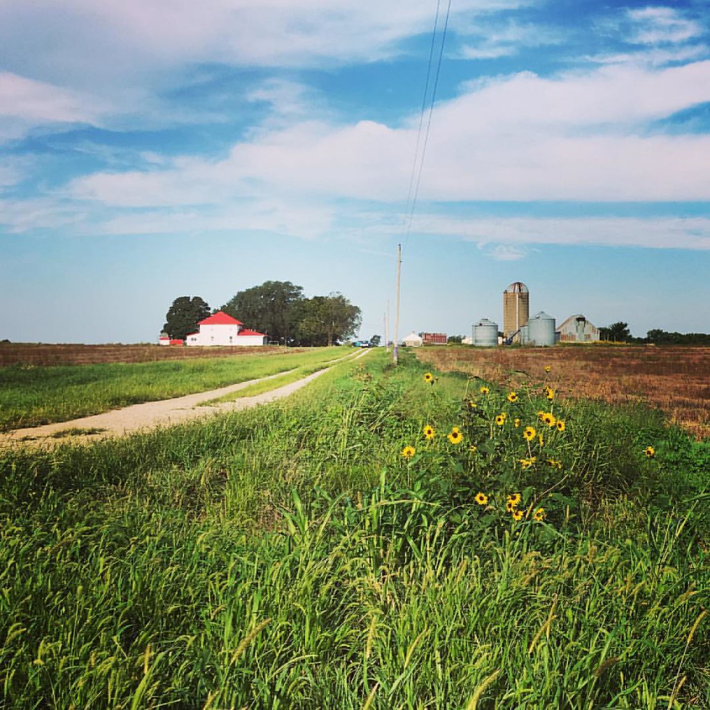
First time back to the farm in a long time. Always great to be in #kansas #harknessroad
Topographic Map of Rainbow Organic Farms Co, 55th St, Bronson, KS, USA
Find elevation by address:

Places near Rainbow Organic Farms Co, 55th St, Bronson, KS, USA:
Bronson
Uniontown
Marion
Iowa Rd & 4600th St
4600th St & Idaho Rd
Moran
Marmaton
Nw Minnesota Rd & 3800th St
Oregon Rd & 3600th St
3800th St & Maryland Rd
3600th St & Rhode Island Rd
Iowa Rd & 3800th St
Elsmore
Main St, Elsmore, KS, USA
Nw Minnesota Rd & 3600th St
Elsmore
3800th St & Idaho Rd
3600th St & Maryland Rd
3400 St & Maryland Rd
Idaho Rd & 3500th St
Recent Searches:
- Elevation of Pykes Down, Ivybridge PL21 0BY, UK
- Elevation of Jalan Senandin, Lutong, Miri, Sarawak, Malaysia
- Elevation of Bilohirs'k
- Elevation of 30 Oak Lawn Dr, Barkhamsted, CT, USA
- Elevation of Luther Road, Luther Rd, Auburn, CA, USA
- Elevation of Unnamed Road, Respublika Severnaya Osetiya — Alaniya, Russia
- Elevation of Verkhny Fiagdon, North Ossetia–Alania Republic, Russia
- Elevation of F. Viola Hiway, San Rafael, Bulacan, Philippines
- Elevation of Herbage Dr, Gulfport, MS, USA
- Elevation of Lilac Cir, Haldimand, ON N3W 2G9, Canada