Elevation of Gold City, KY, USA
Location: United States > Kentucky > Simpson County >
Longitude: -86.447342
Latitude: 36.752632
Elevation: 212m / 696feet
Barometric Pressure: 99KPa
Elevation Map:
Satellite Map:
Related Photos:
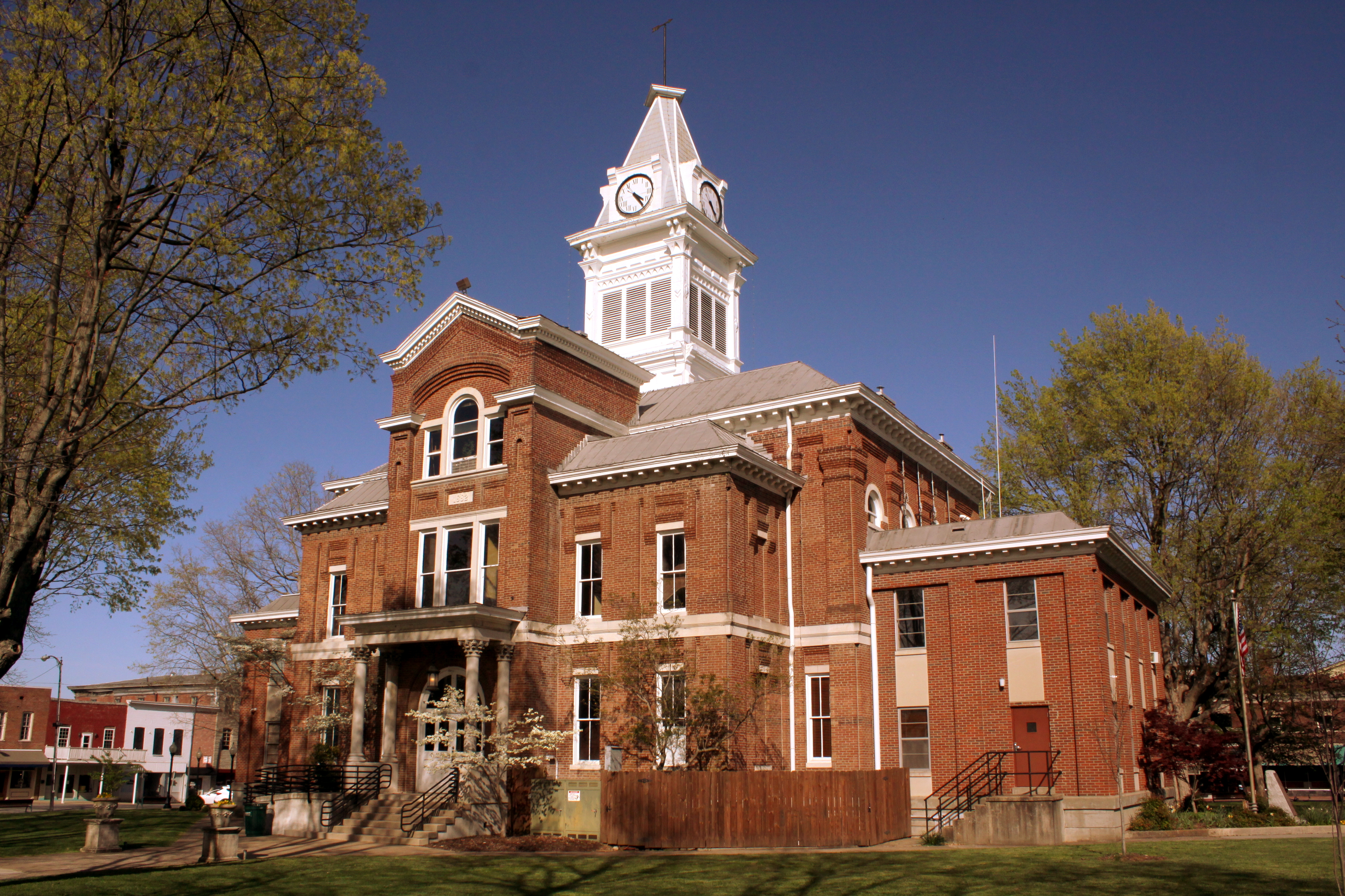
Simpson County Courthouse - Franklin, KY
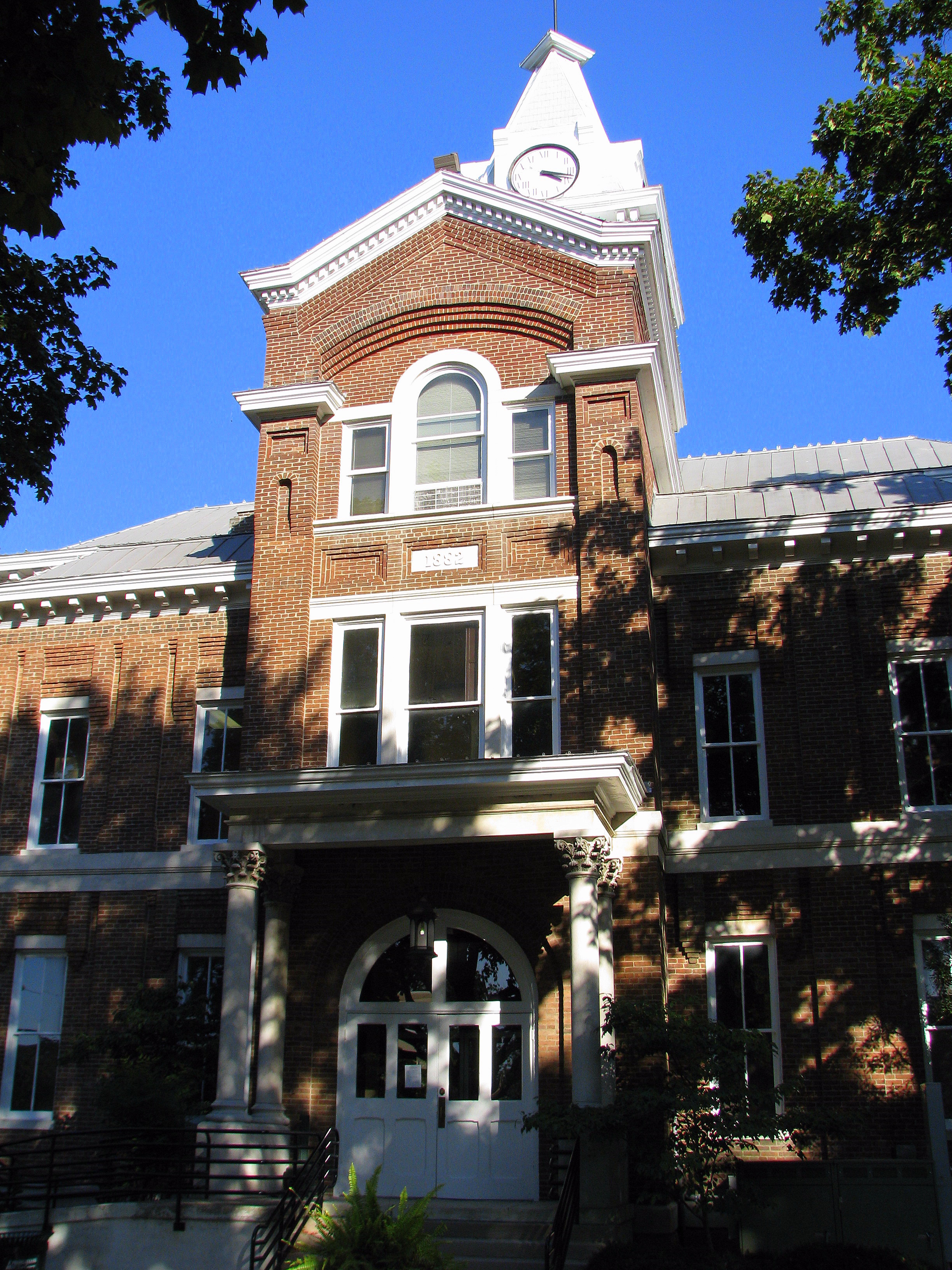
Simpson County Courthouse 3 - Front

Alvaton 1
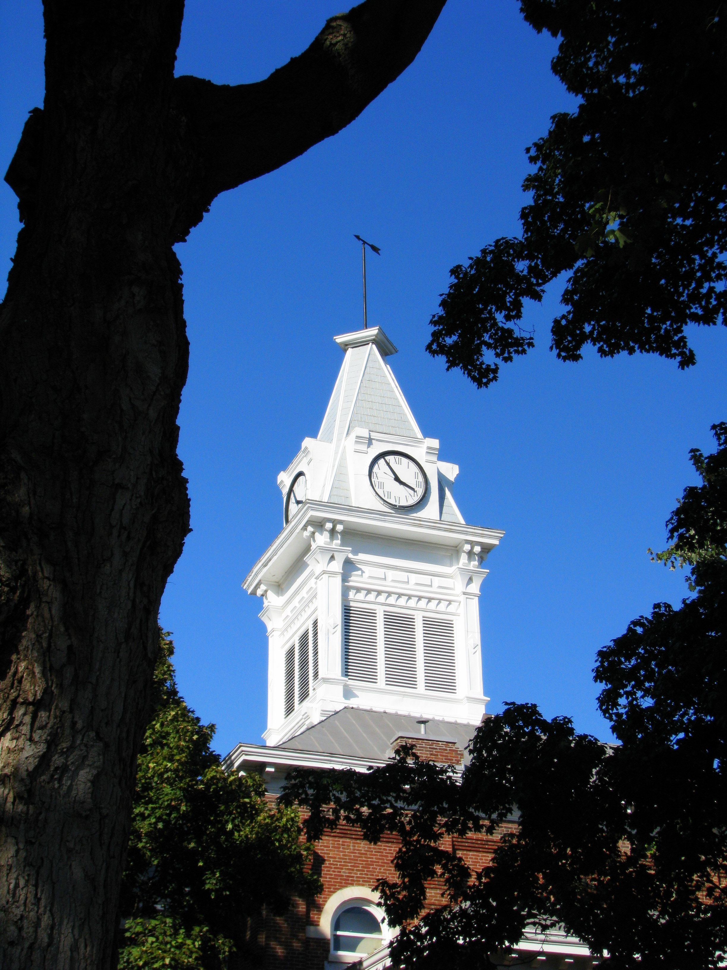
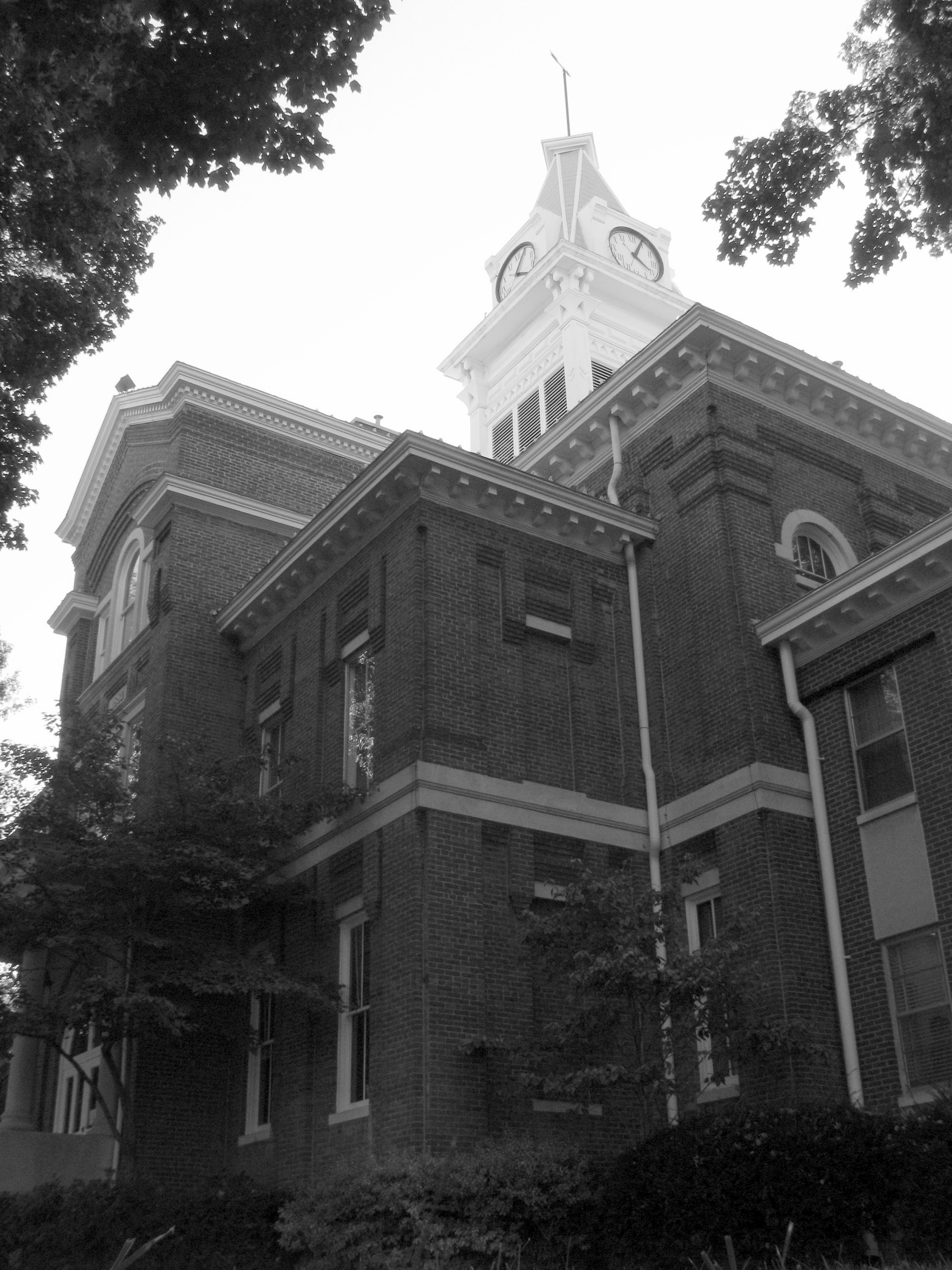
Simpson County Courthouse 1 - Clock Tower
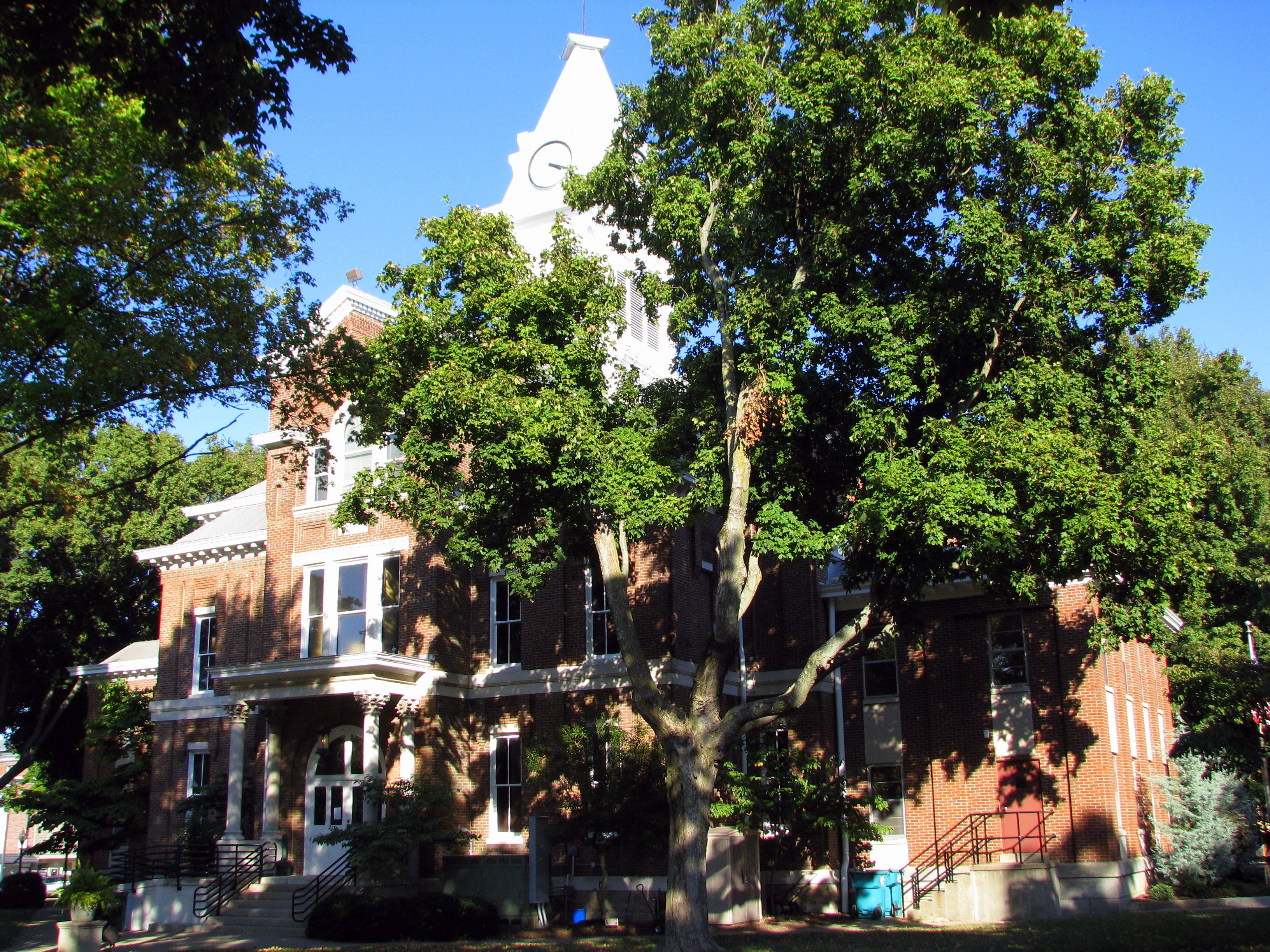
Simpson County Courthouse 5 - back view
Simpson County Courthouse 2 b/w front corner
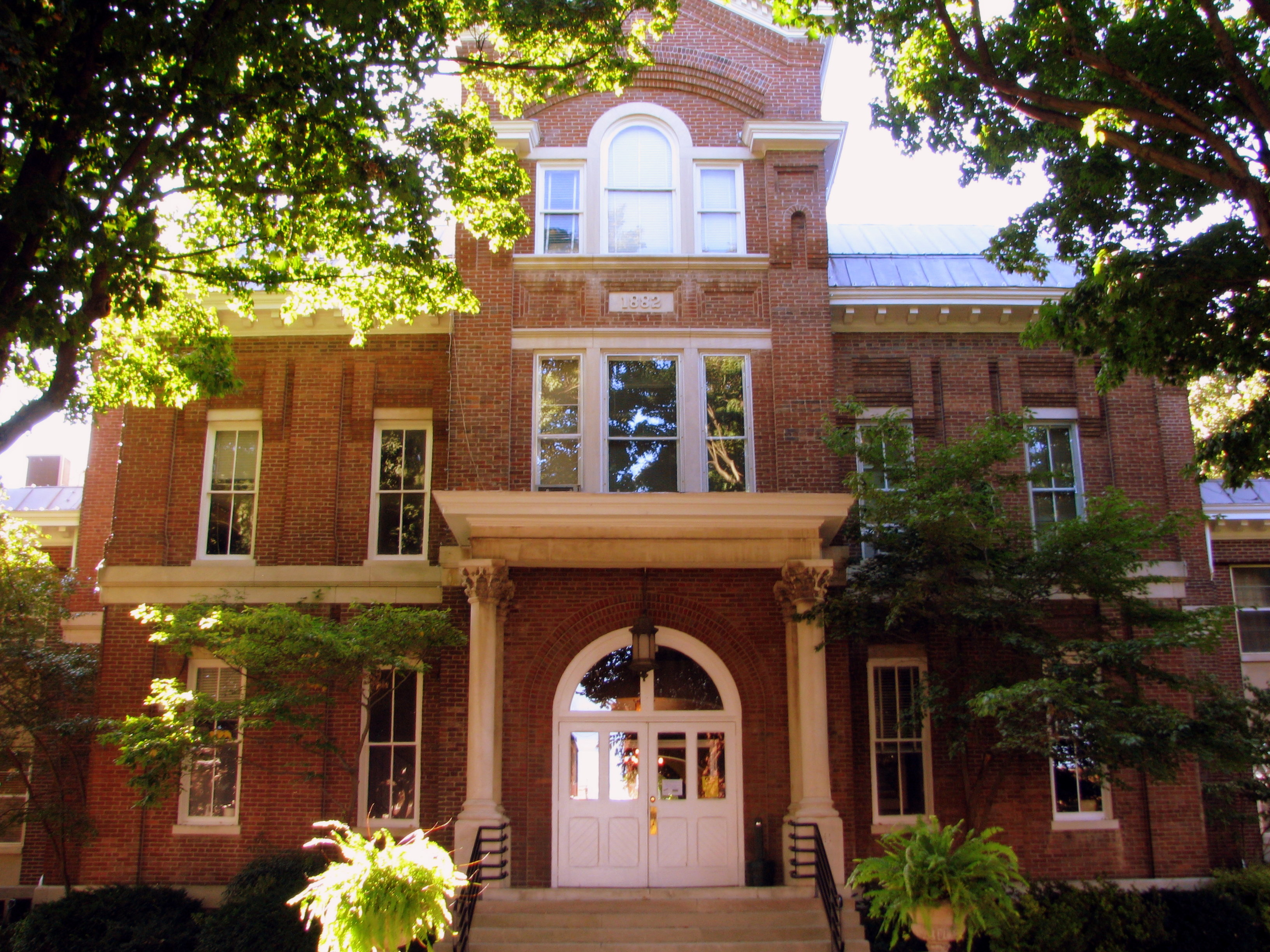
Simpson County Courthouse 4 - rear entrance
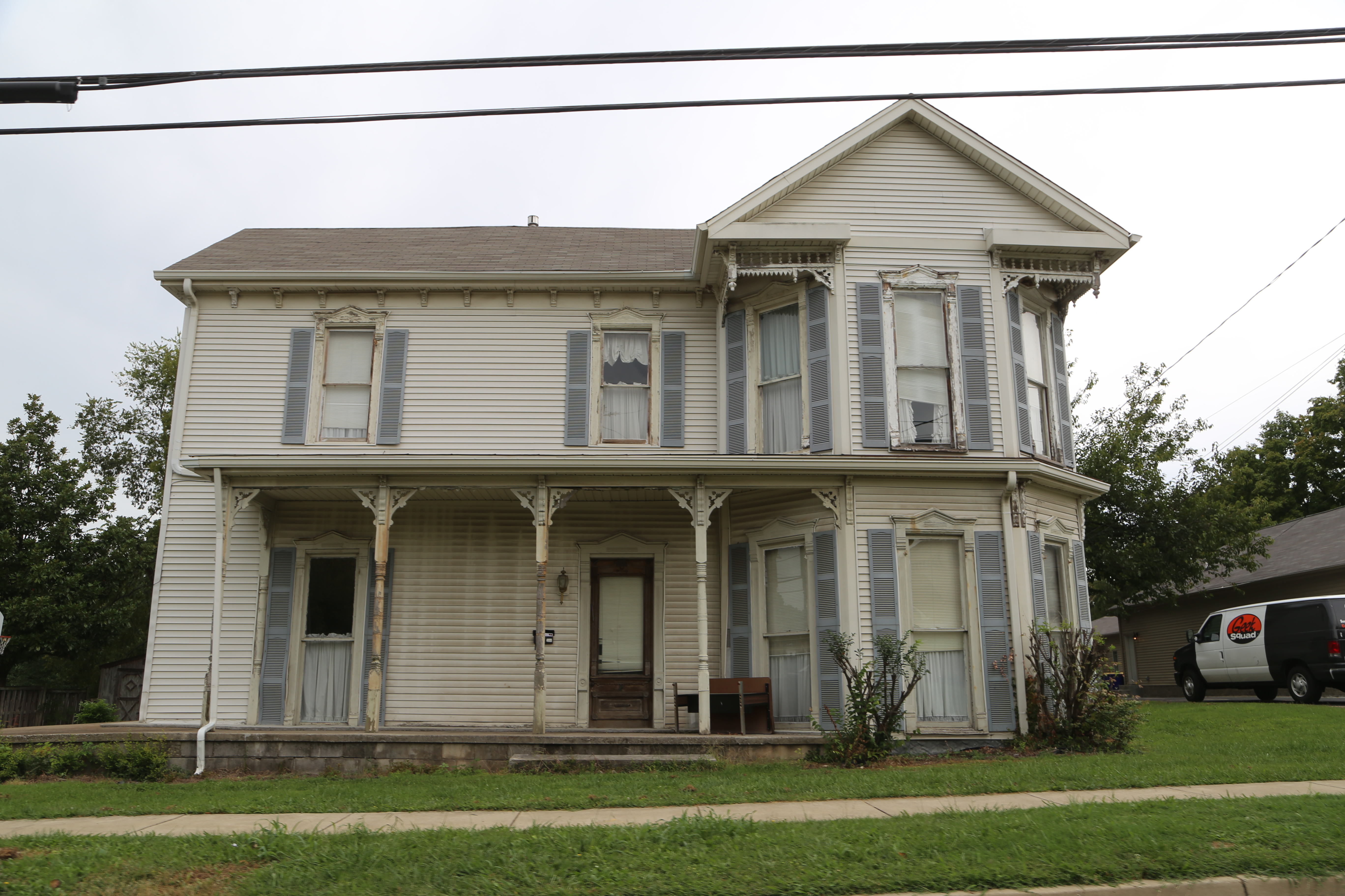
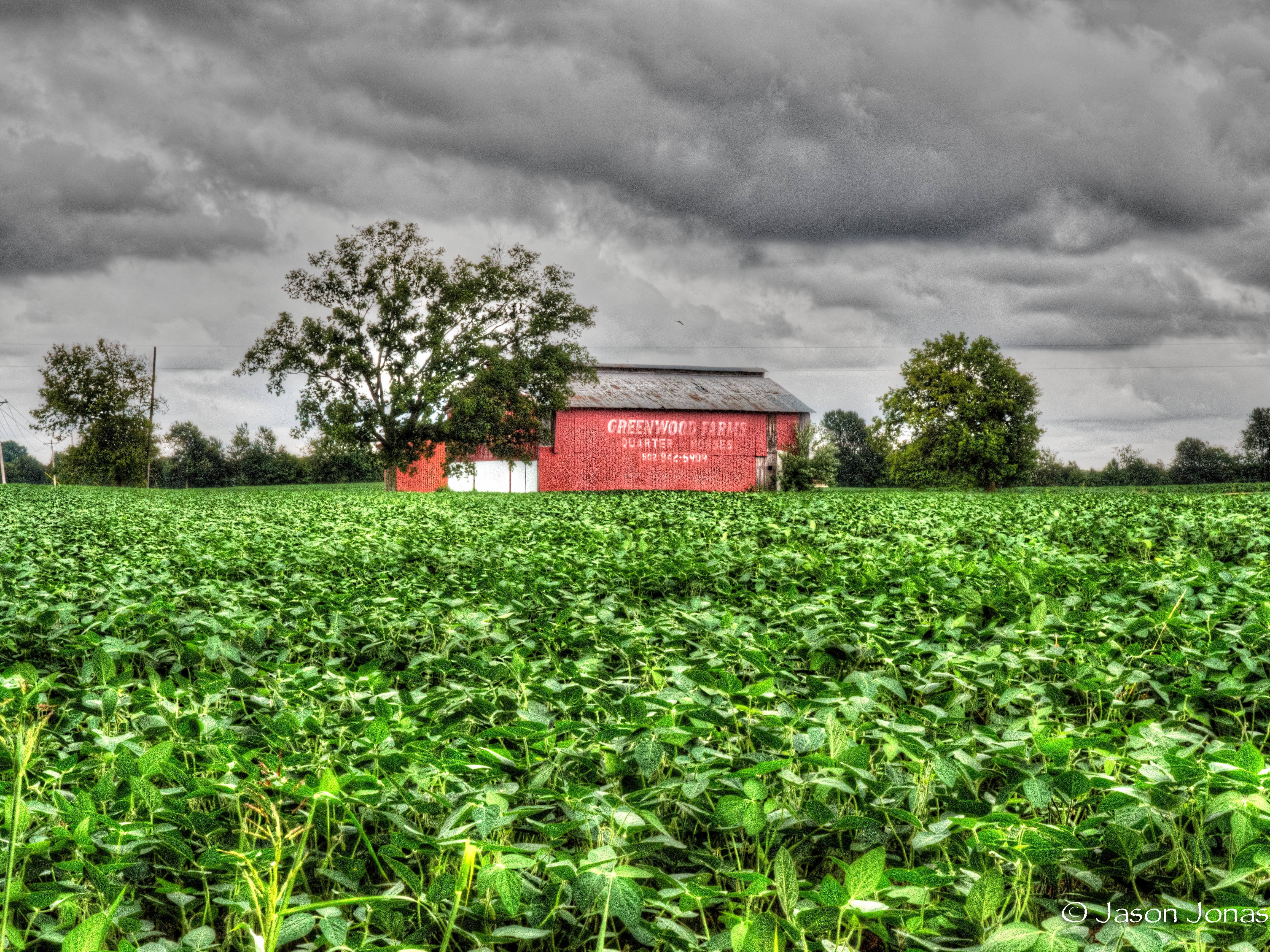
Franklin Kentucky, Simpson County KY
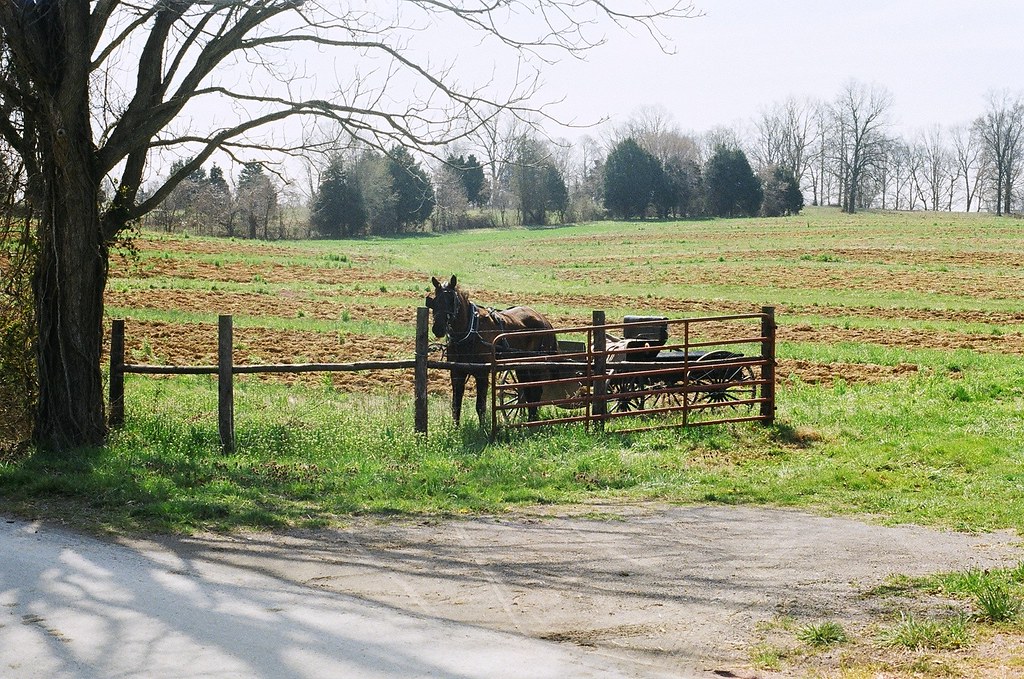
horse and buggy

Shadows ;*
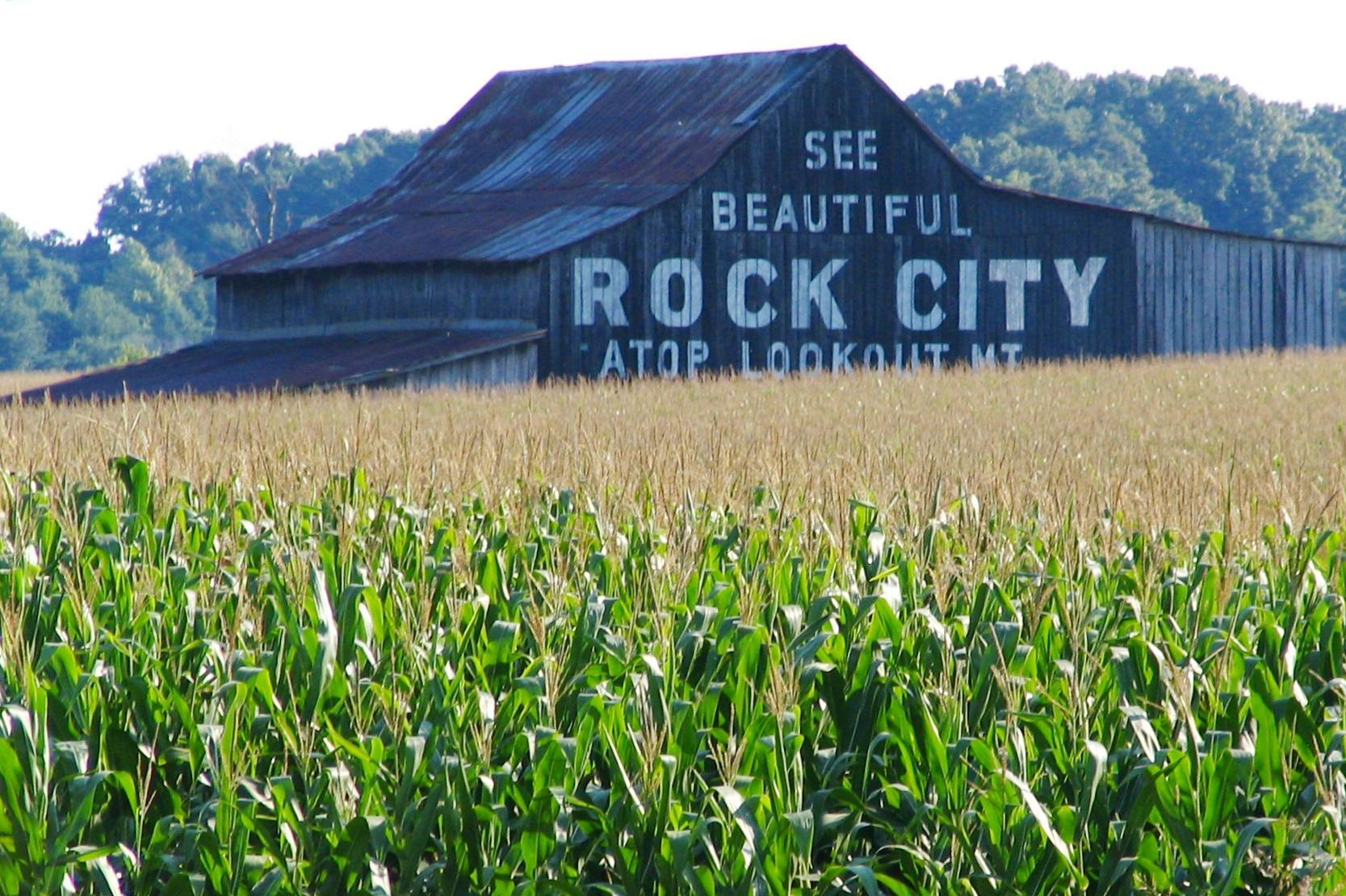
See Beautiful Rock City

the yon
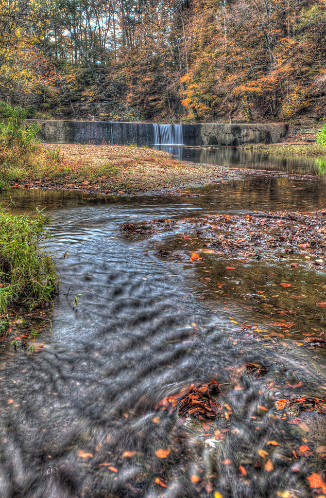
Go with the Flow
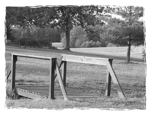
Playground Bridge

#flowers #flowerstagram #flowerstalker
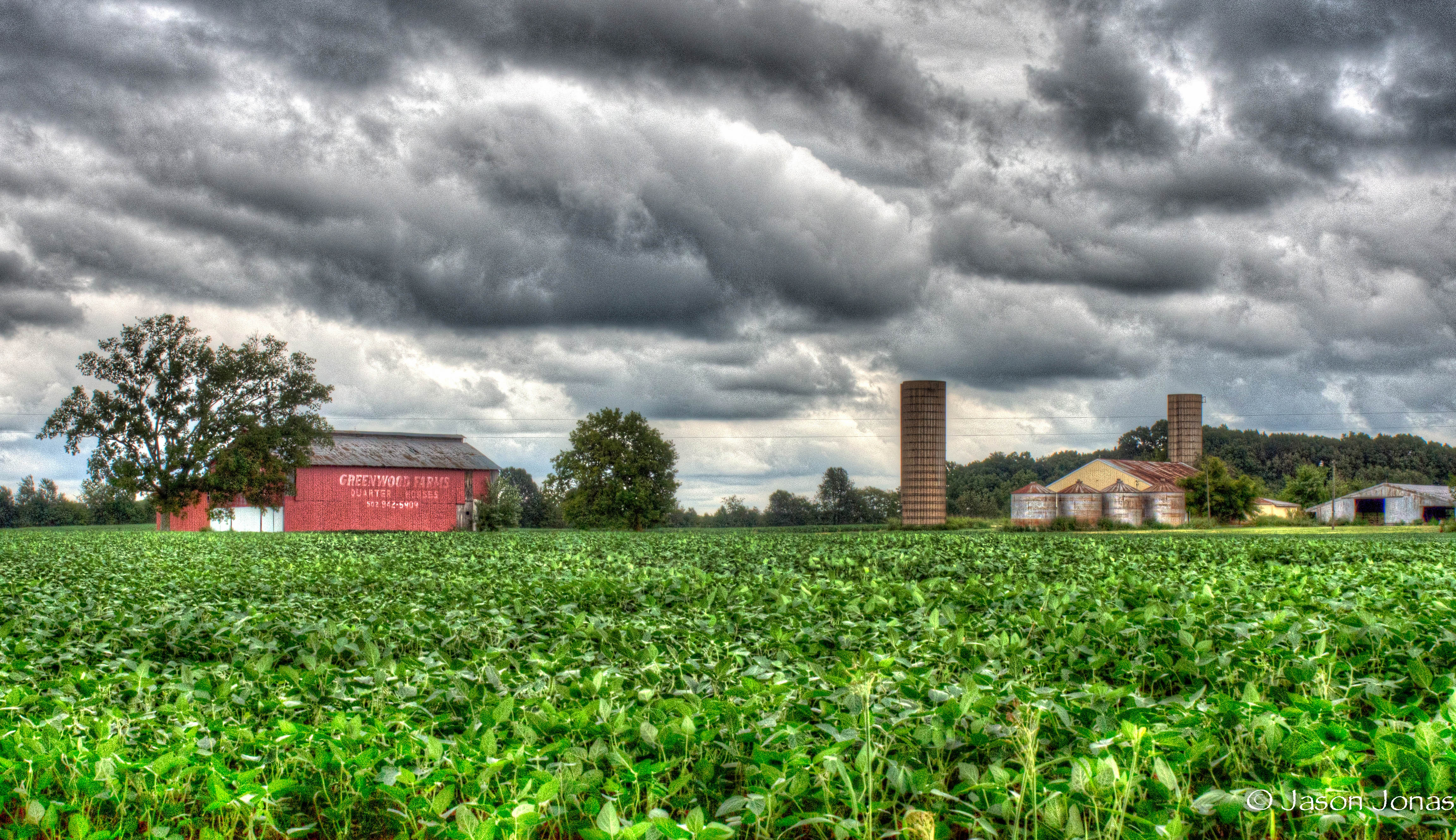
20140911-9110871_tonemapped.jpg
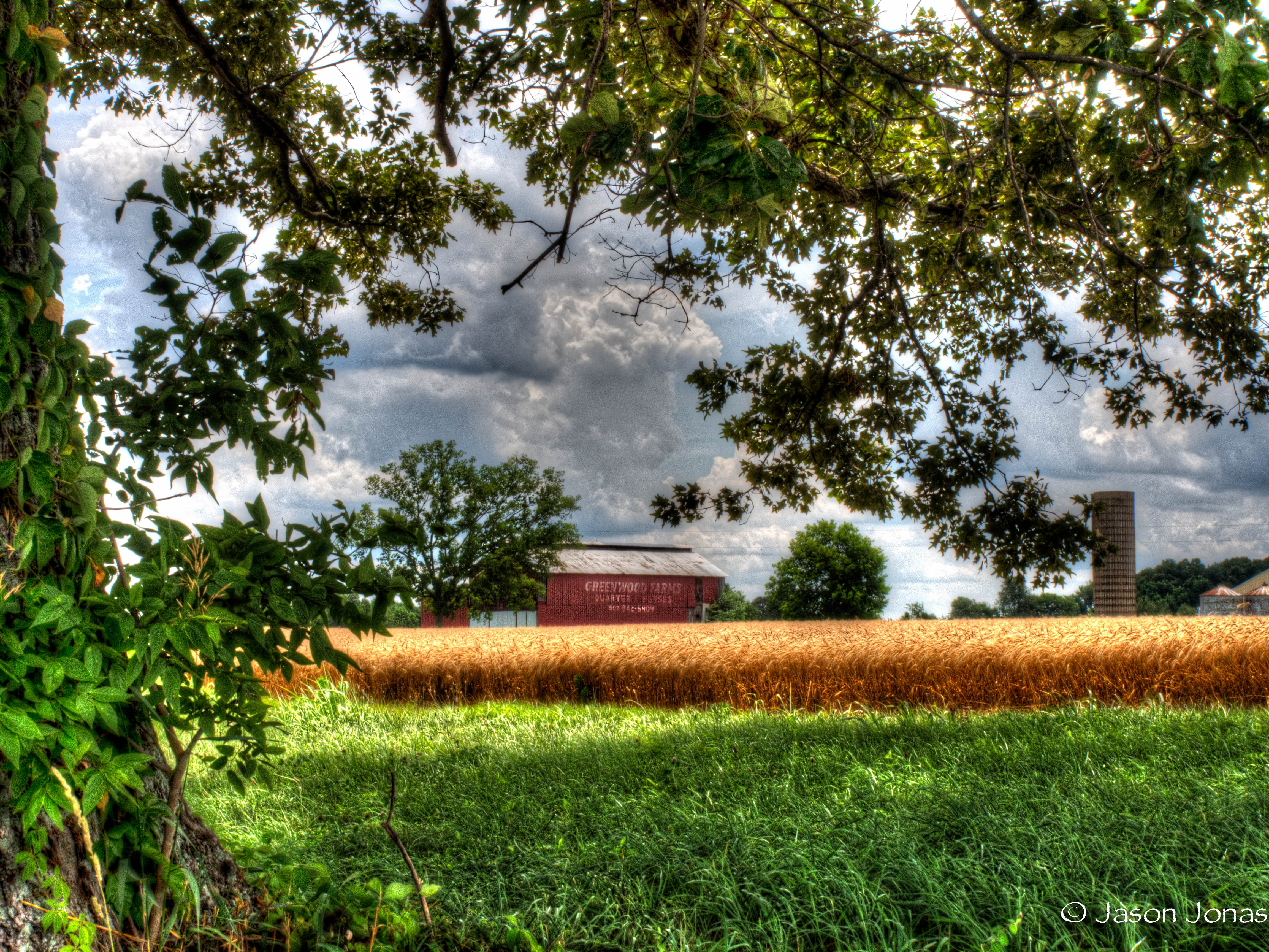
20140911-9110867_tonemapped.jpg
20140625-6250439_tonemapped.jpg
Topographic Map of Gold City, KY, USA
Find elevation by address:

Places near Gold City, KY, USA:
2 County Loop Rd
Alvaton
Allen Springs
9097 Us-231
9093 Us-231
9091 Us-231
9091 Us-231
9090 Us-231
9090 Us-231
9089 Us-231
9089 Us-231
9087 Us-231
9080 Us-231
9079 Us-231
9071 Us-231
The Club At Olde Stone
West Fork
1196 Cornwell Rd
Allen County
Scottsville
Recent Searches:
- Elevation of Tenjo, Cundinamarca, Colombia
- Elevation of Côte-des-Neiges, Montreal, QC H4A 3J6, Canada
- Elevation of Bobcat Dr, Helena, MT, USA
- Elevation of Zu den Ihlowbergen, Althüttendorf, Germany
- Elevation of Badaber, Peshawar, Khyber Pakhtunkhwa, Pakistan
- Elevation of SE Heron Loop, Lincoln City, OR, USA
- Elevation of Slanický ostrov, 01 Námestovo, Slovakia
- Elevation of Spaceport America, Co Rd A, Truth or Consequences, NM, USA
- Elevation of Warwick, RI, USA
- Elevation of Fern Rd, Whitmore, CA, USA