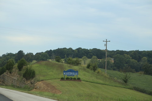
Elevation of Cornwell Rd, Scottsville, KY, USA
Location: United States > Kentucky > Allen County > Scottsville >
Longitude: -86.284647
Latitude: 36.8395254
Elevation: 173m / 568feet
Barometric Pressure: 99KPa
Related Photos:
Topographic Map of Cornwell Rd, Scottsville, KY, USA
Find elevation by address:

Places near Cornwell Rd, Scottsville, KY, USA:
Allen Springs
West Fork
Alvaton
Cemetery Rd, Scottsville, KY, USA
9097 Us-231
9093 Us-231
9091 Us-231
9091 Us-231
9090 Us-231
9090 Us-231
9089 Us-231
9089 Us-231
9087 Us-231
9080 Us-231
9079 Us-231
9071 Us-231
Allen County
The Club At Olde Stone
Meador Port Oliver Rd, Scottsville, KY, USA
Scottsville
Recent Searches:
- Elevation of Congressional Dr, Stevensville, MD, USA
- Elevation of Bellview Rd, McLean, VA, USA
- Elevation of Stage Island Rd, Chatham, MA, USA
- Elevation of Shibuya Scramble Crossing, 21 Udagawacho, Shibuya City, Tokyo -, Japan
- Elevation of Jadagoniai, Kaunas District Municipality, Lithuania
- Elevation of Pagonija rock, Kranto 7-oji g. 8"N, Kaunas, Lithuania
- Elevation of Co Rd 87, Jamestown, CO, USA
- Elevation of Tenjo, Cundinamarca, Colombia
- Elevation of Côte-des-Neiges, Montreal, QC H4A 3J6, Canada
- Elevation of Bobcat Dr, Helena, MT, USA
