Elevation of West Fork, KY, USA
Location: United States > Kentucky > Allen County >
Longitude: -86.280544
Latitude: 36.7828202
Elevation: 230m / 755feet
Barometric Pressure: 99KPa
Elevation Map:
Satellite Map:
Related Photos:

Alvaton 1

Totality with Solar Prominences

Partial Solar Eclipse with Sun Spots

the yon

Haunted house
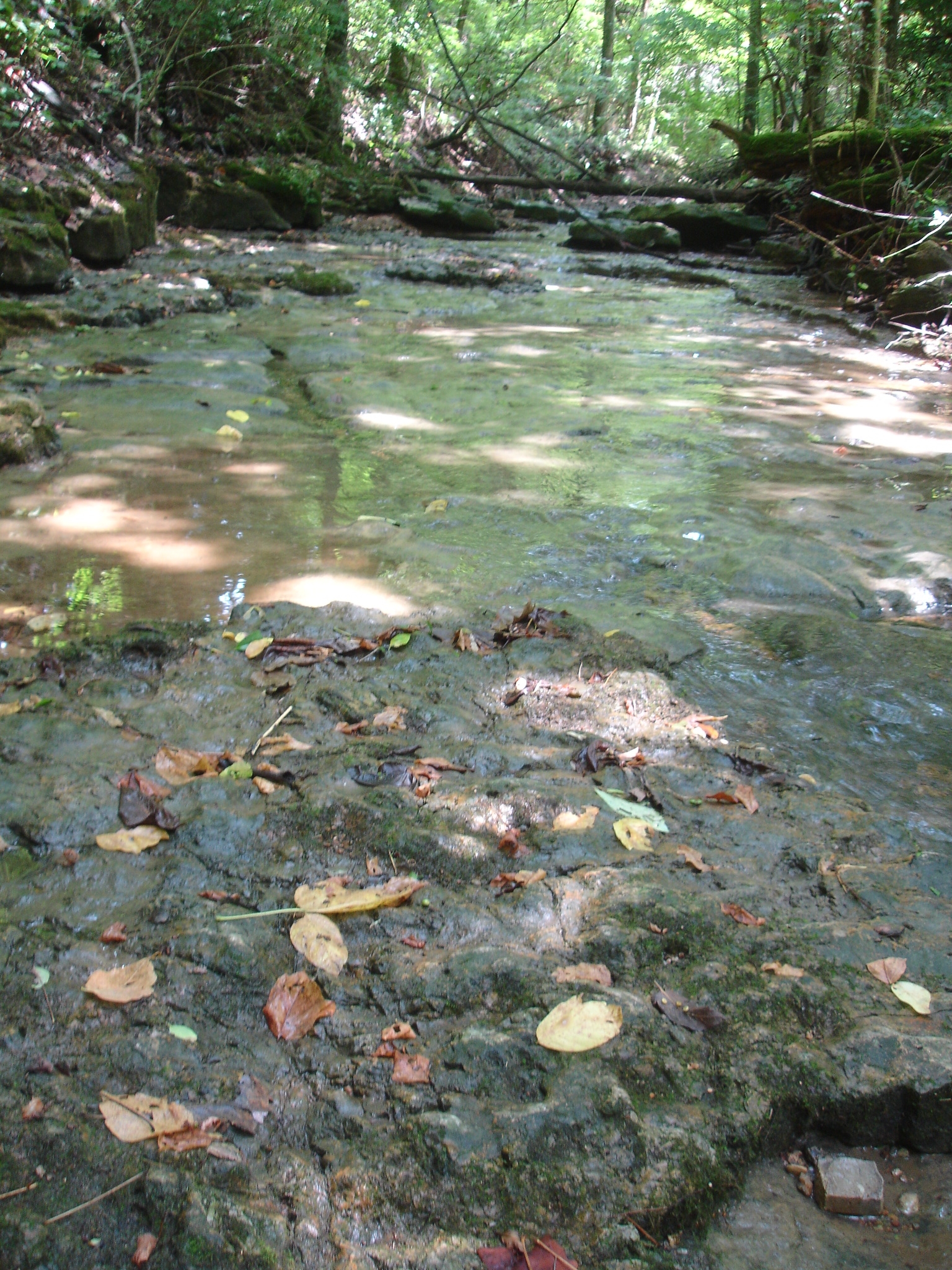
solid rock creek bed

drive-thru awe

クリスマス2013
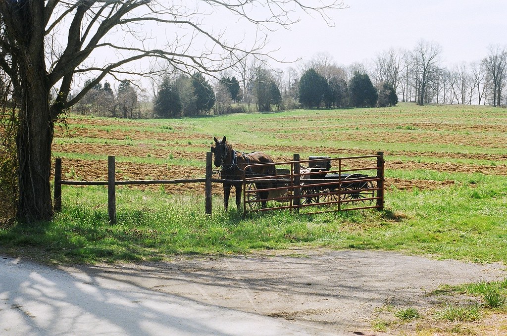
horse and buggy
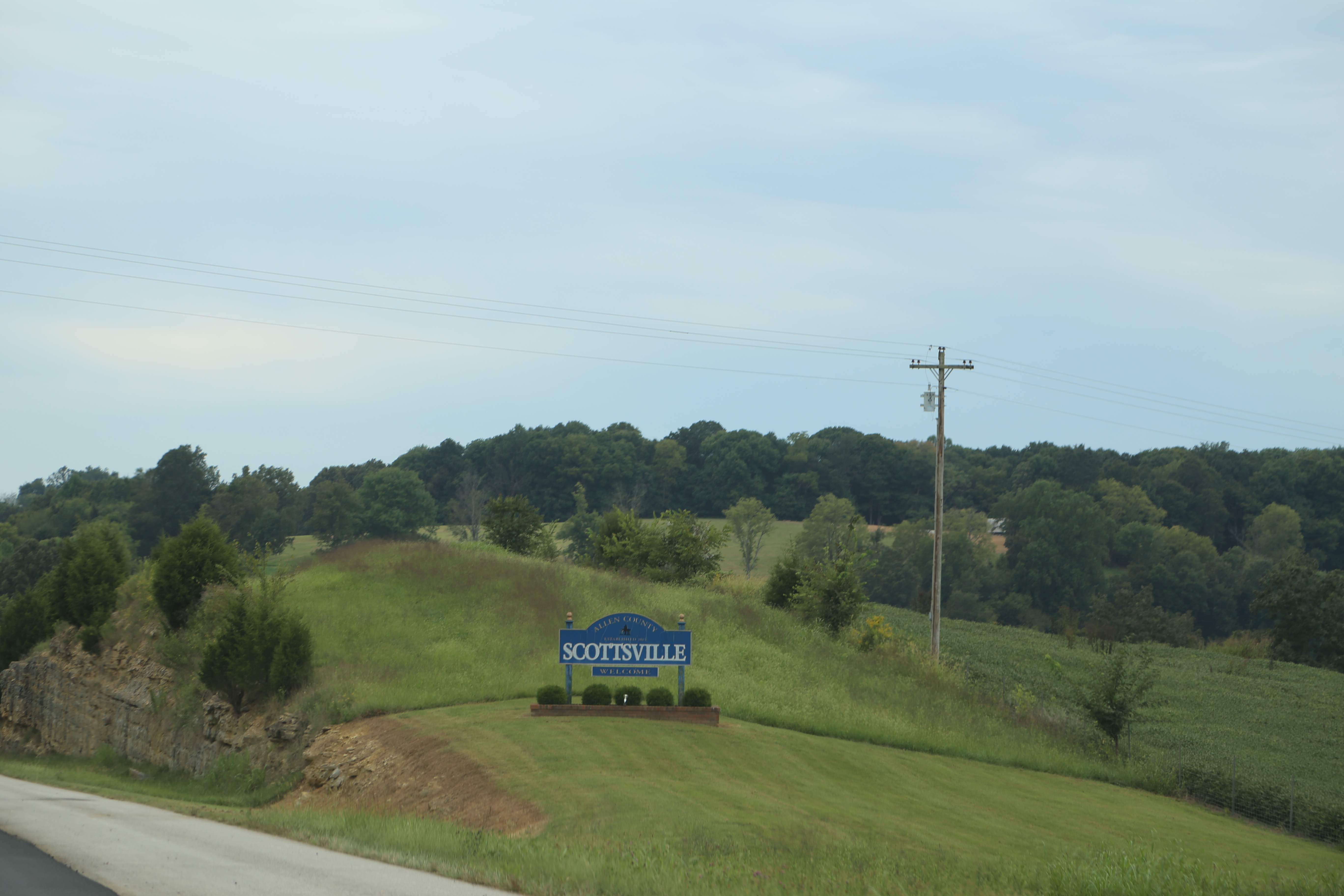
Scottsville Kentucky, Allen County KY
Topographic Map of West Fork, KY, USA
Find elevation by address:

Places near West Fork, KY, USA:
1196 Cornwell Rd
Allen Springs
Allen County
Scottsville
State Hwy 98, Scottsville, KY, USA
Cemetery Rd, Scottsville, KY, USA
214 Maysville Rd
Alvaton
9097 Us-231
9093 Us-231
9091 Us-231
9091 Us-231
9090 Us-231
9090 Us-231
9089 Us-231
9089 Us-231
9087 Us-231
9080 Us-231
9079 Us-231
9071 Us-231
Recent Searches:
- Elevation of Fernwood, Bradenton, FL, USA
- Elevation of Felindre, Swansea SA5 7LU, UK
- Elevation of Leyte Industrial Development Estate, Isabel, Leyte, Philippines
- Elevation of W Granada St, Tampa, FL, USA
- Elevation of Pykes Down, Ivybridge PL21 0BY, UK
- Elevation of Jalan Senandin, Lutong, Miri, Sarawak, Malaysia
- Elevation of Bilohirs'k
- Elevation of 30 Oak Lawn Dr, Barkhamsted, CT, USA
- Elevation of Luther Road, Luther Rd, Auburn, CA, USA
- Elevation of Unnamed Road, Respublika Severnaya Osetiya — Alaniya, Russia