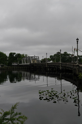
Elevation of Godfreys Ln, Hertford, NC, USA
Location: United States > North Carolina > Perquimans County > Hertford > Hertford >
Longitude: -76.345141
Latitude: 36.1730862
Elevation: 4m / 13feet
Barometric Pressure: 101KPa
Related Photos:
Topographic Map of Godfreys Ln, Hertford, NC, USA
Find elevation by address:

Places near Godfreys Ln, Hertford, NC, USA:
132 Cove Rd
132 Cove Rd
120 Cove Rd
1959 New Hope Rd
584 Whitehat Rd
588 Whitehat Rd
Muddy Creek Rd, Hertford, NC, USA
New Hope
260 Churchs Ln
Perquimans County
Bethel
120 Osprey Ln
102 Osprey Ln
475 Goose Nest Ln
114 Nanthala Ct E
125 Pee Dee Dr
121 Shenandoah River Dr
109 Driftwood Rd
174 Clipper Dr
Franks Creek Drive
Recent Searches:
- Elevation of Scenic Shore Dr, Kingwood Area, TX, USA
- Elevation of W Prive Cir, Delray Beach, FL, USA
- Elevation of S Layton Cir W, Layton, UT, USA
- Elevation of F36W+3M, Mussoorie, Uttarakhand, India
- Elevation of Fairland Ave, Fairhope, AL, USA
- Elevation of Sunset Dr, Richmond, VA, USA
- Elevation of Grodna District, Hrodna Region, Belarus
- Elevation of Hrodna, Hrodna Region, Belarus
- Elevation of Sandia Derby Estates, Tijeras, NM, USA
- Elevation of 23 Sunrise View Ct, Tijeras, NM, USA

