Elevation of Cove Rd, Hertford, NC, USA
Location: United States > North Carolina > Perquimans County > Hertford > Hertford >
Longitude: -76.347431
Latitude: 36.1676328
Elevation: 1m / 3feet
Barometric Pressure: 101KPa
Elevation Map:
Satellite Map:
Related Photos:
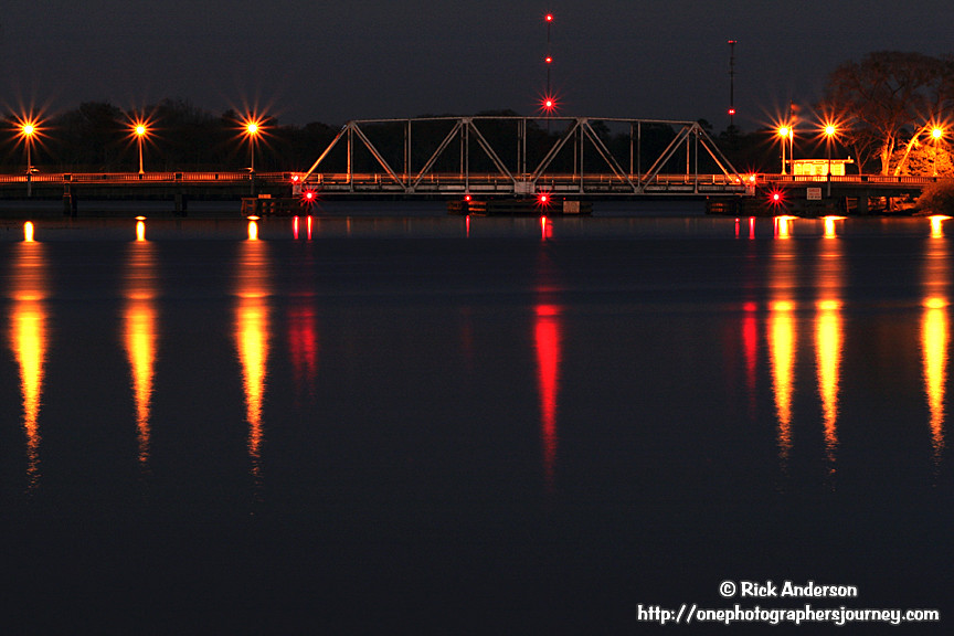
"S" Bridge - Hertford, North Carolina

Old Dollar General Building (Hertford; now possibly an auction location)
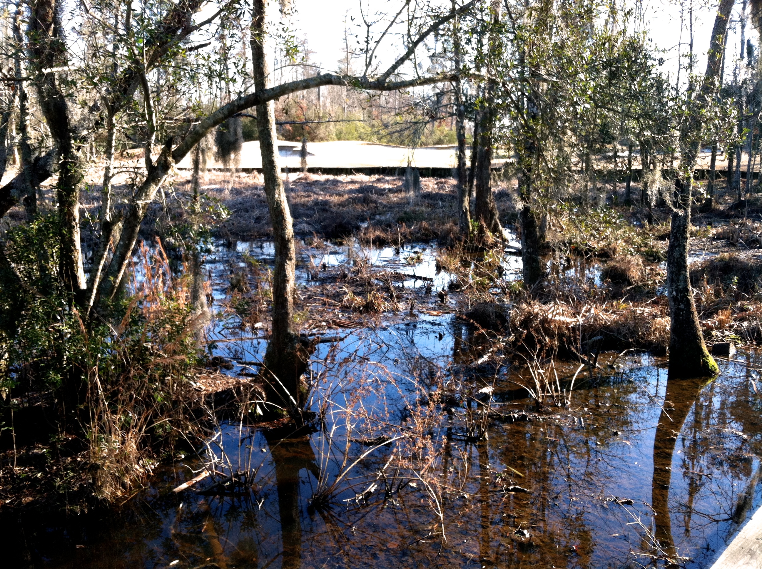
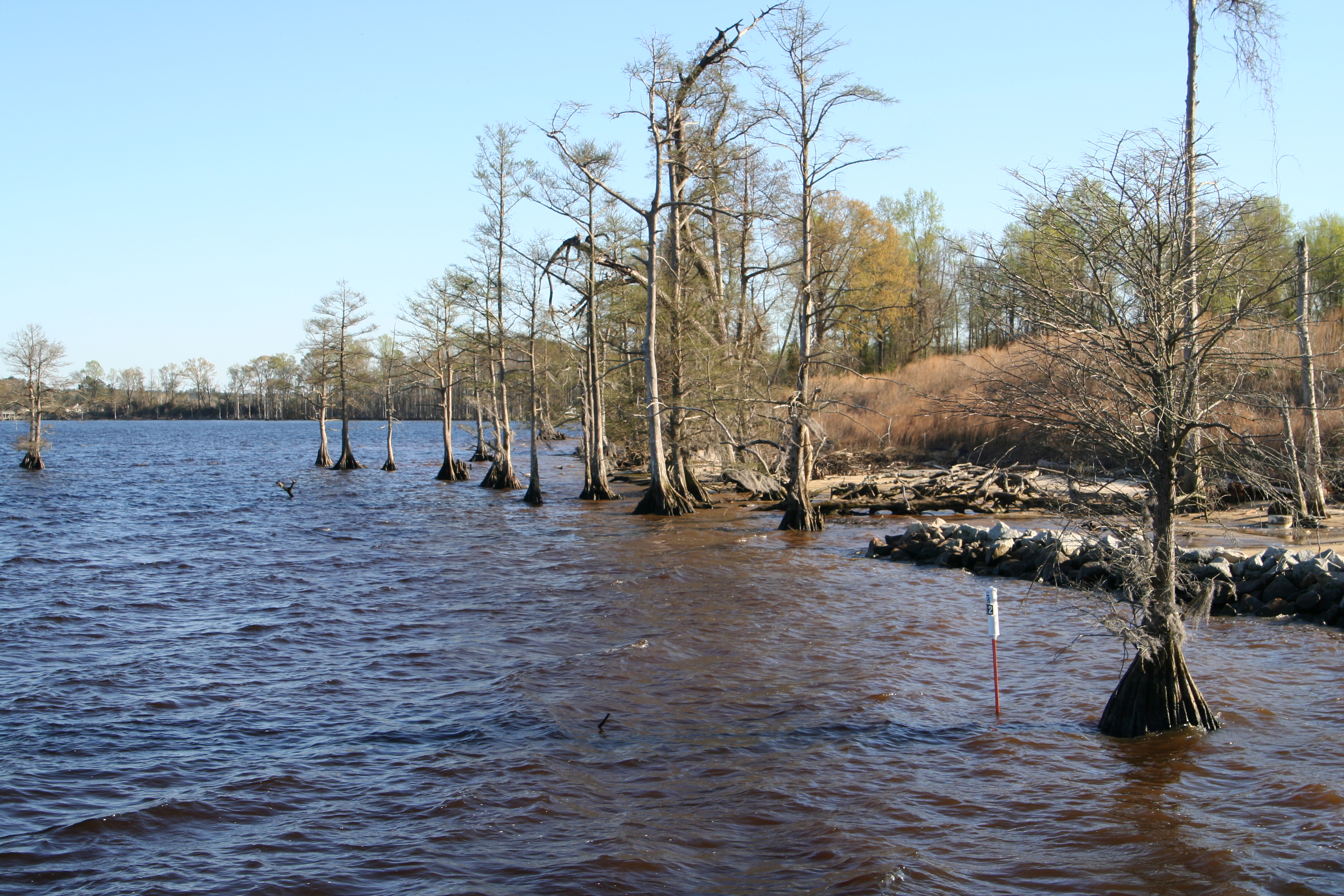
marsh views abound

2852 Hertford National Register of Historic Places Img_17446

The view off the 18th @SGLatAP. Nice breeze from the water. Great finishing hole. @eGolfProTour1. #nencsports
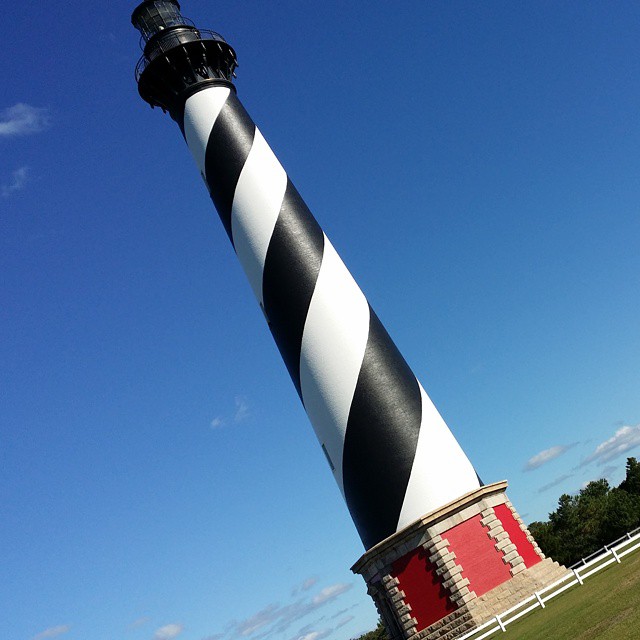
A tilted view of the Cape Hatteras lighthouse from the trip my wife and I took there yesterday. #capehatteras #lighthouses #latergram
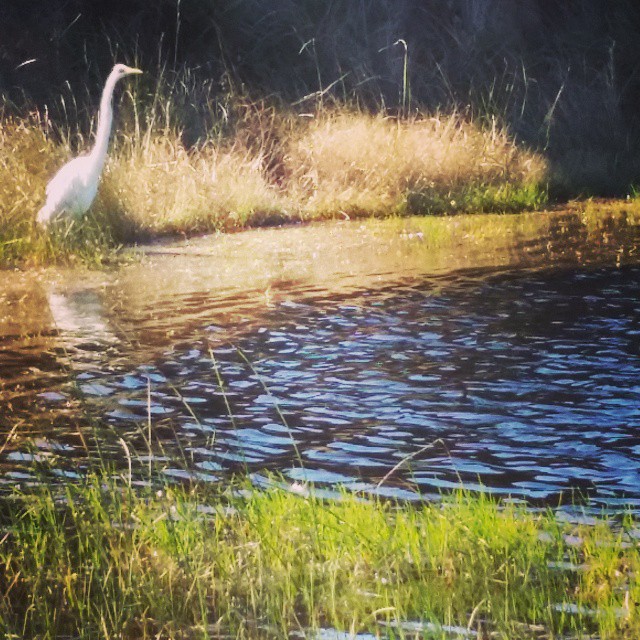
Egret at Cape Hatteras. #mayfair #OBX #latergram
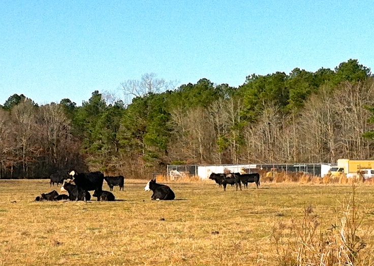
cows welcome new calves
March 2007 - Vacation, Day 8: Newbold-White Plantation

March 2007 - Vacation, Day 8: Newbold-White Plantation
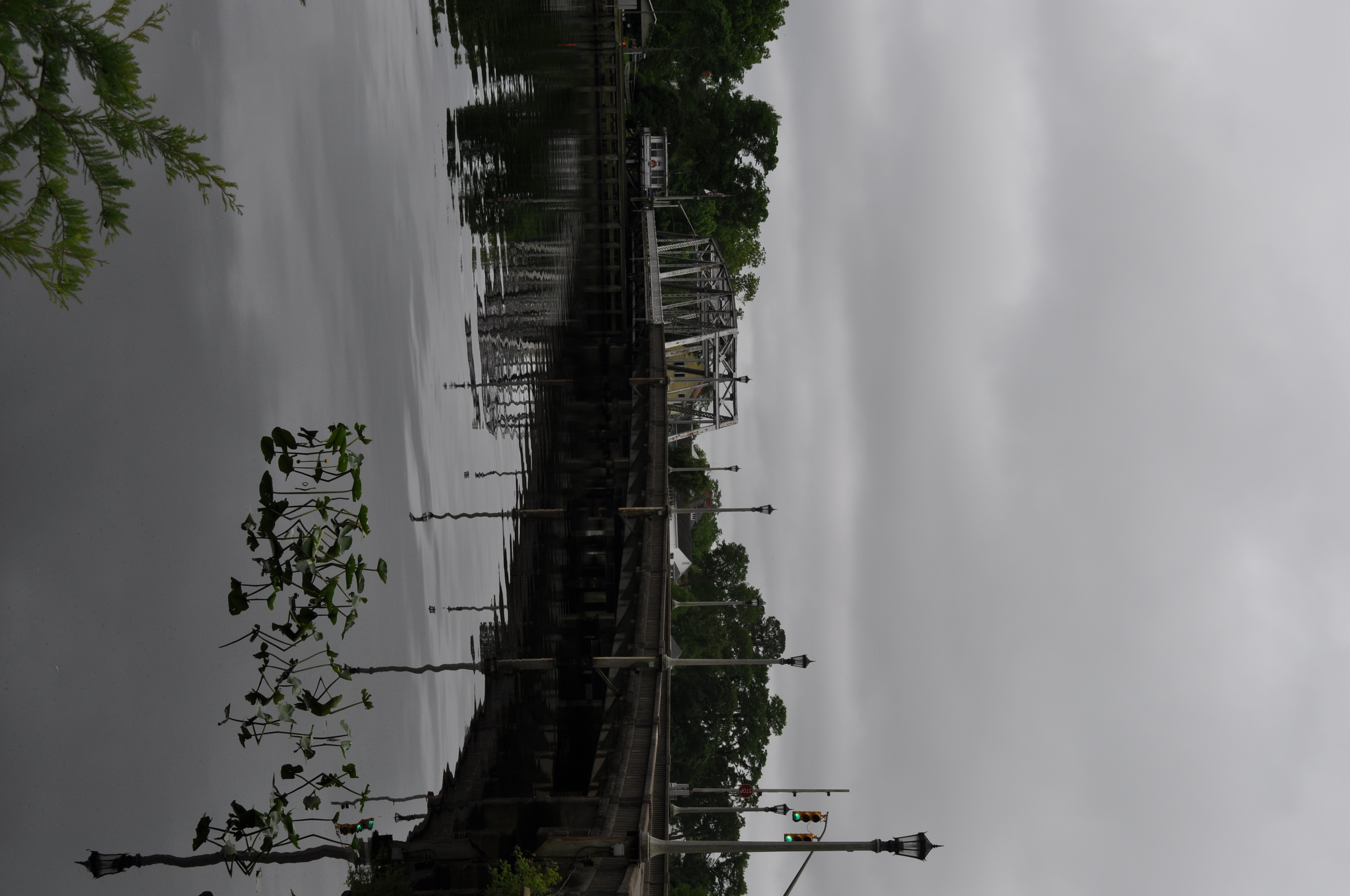
2903 Hertfords S Shaped Bridge Img_17497
Topographic Map of Cove Rd, Hertford, NC, USA
Find elevation by address:

Places near Cove Rd, Hertford, NC, USA:
132 Cove Rd
132 Cove Rd
137 Godfreys Ln
1959 New Hope Rd
584 Whitehat Rd
588 Whitehat Rd
Muddy Creek Rd, Hertford, NC, USA
New Hope
260 Churchs Ln
Bethel
Perquimans County
120 Osprey Ln
102 Osprey Ln
475 Goose Nest Ln
114 Nanthala Ct E
125 Pee Dee Dr
121 Shenandoah River Dr
109 Driftwood Rd
174 Clipper Dr
Franks Creek Drive
Recent Searches:
- Elevation of Panther Dr, Maggie Valley, NC, USA
- Elevation of Jais St - Wadi Shehah - Ras al Khaimah - United Arab Emirates
- Elevation of Shawnee Avenue, Shawnee Ave, Easton, PA, USA
- Elevation of Scenic Shore Dr, Kingwood Area, TX, USA
- Elevation of W Prive Cir, Delray Beach, FL, USA
- Elevation of S Layton Cir W, Layton, UT, USA
- Elevation of F36W+3M, Mussoorie, Uttarakhand, India
- Elevation of Fairland Ave, Fairhope, AL, USA
- Elevation of Sunset Dr, Richmond, VA, USA
- Elevation of Grodna District, Hrodna Region, Belarus