Elevation of George County, MS, USA
Location: United States > Mississippi >
Longitude: -88.6723578
Latitude: 30.8431226
Elevation: 38m / 125feet
Barometric Pressure: 0KPa
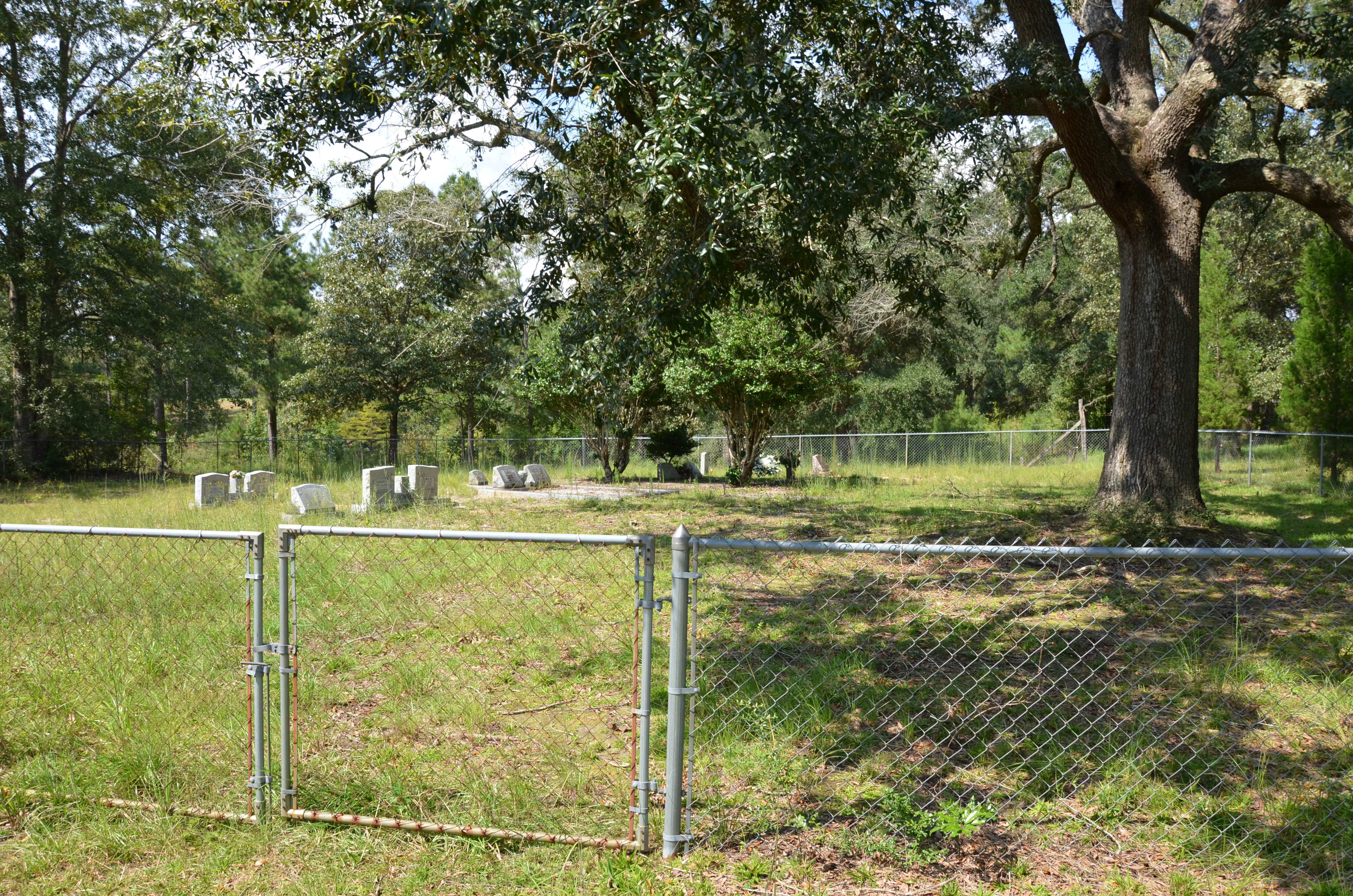
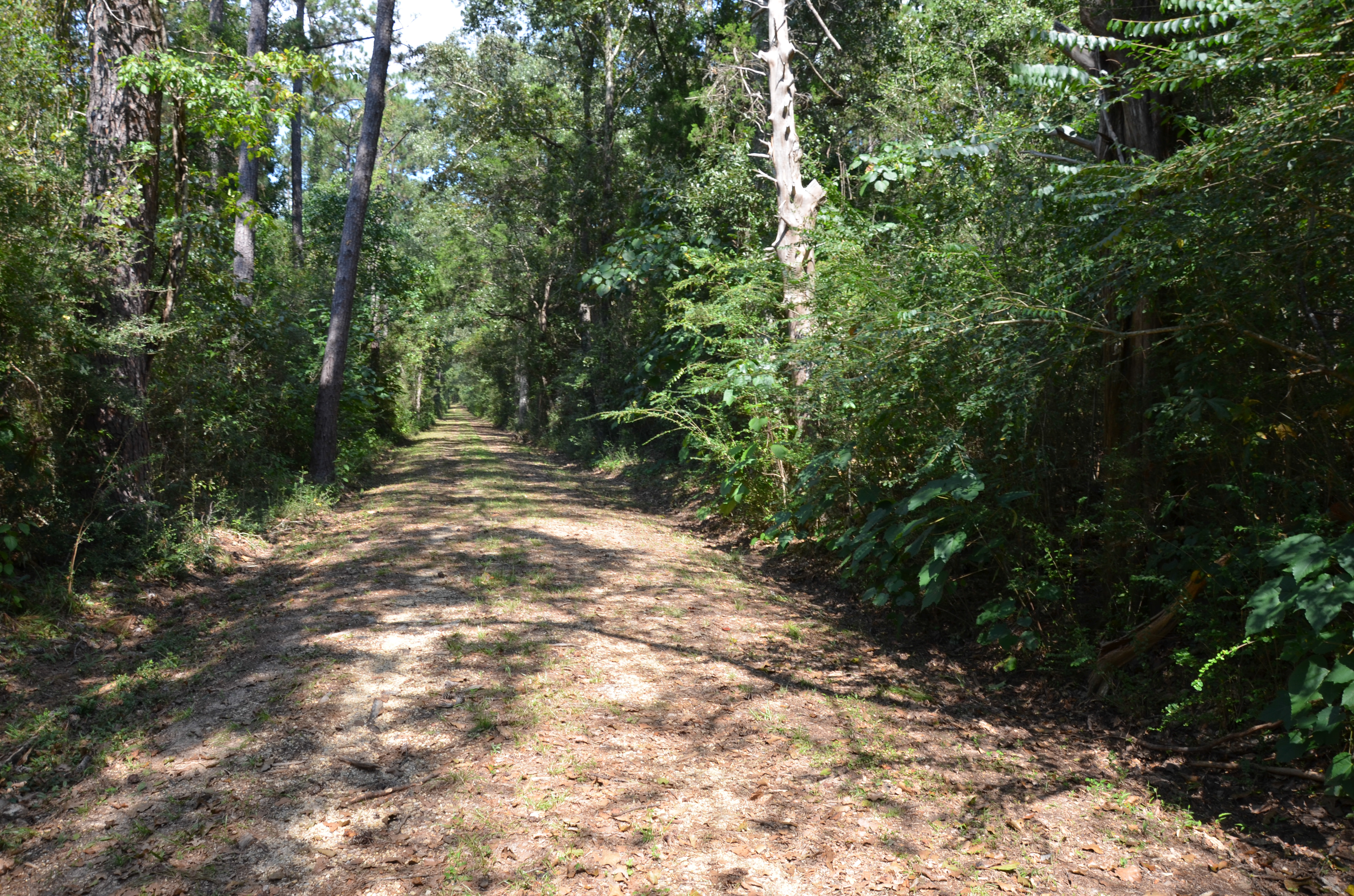
Related Photos:
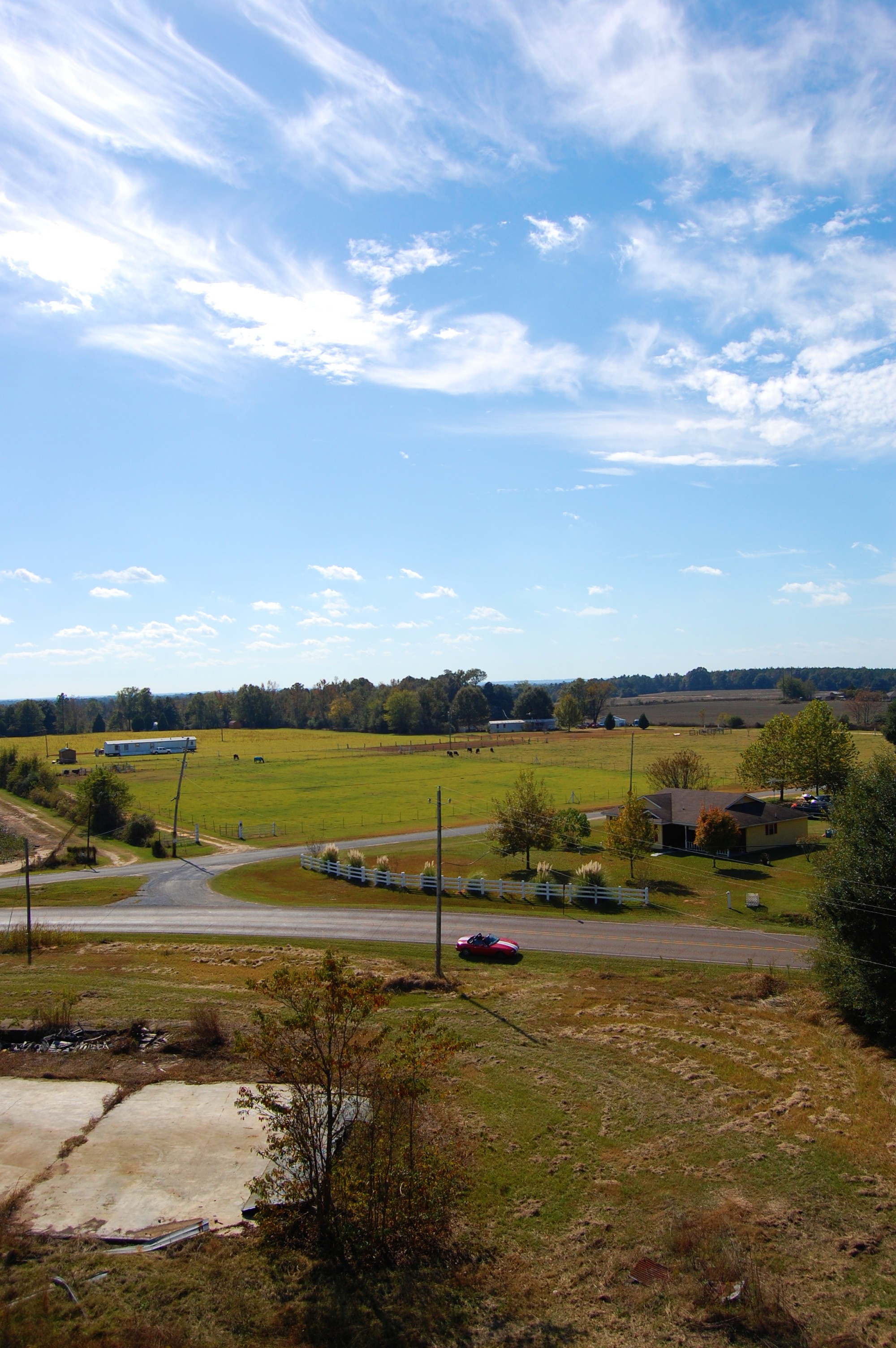
view from above
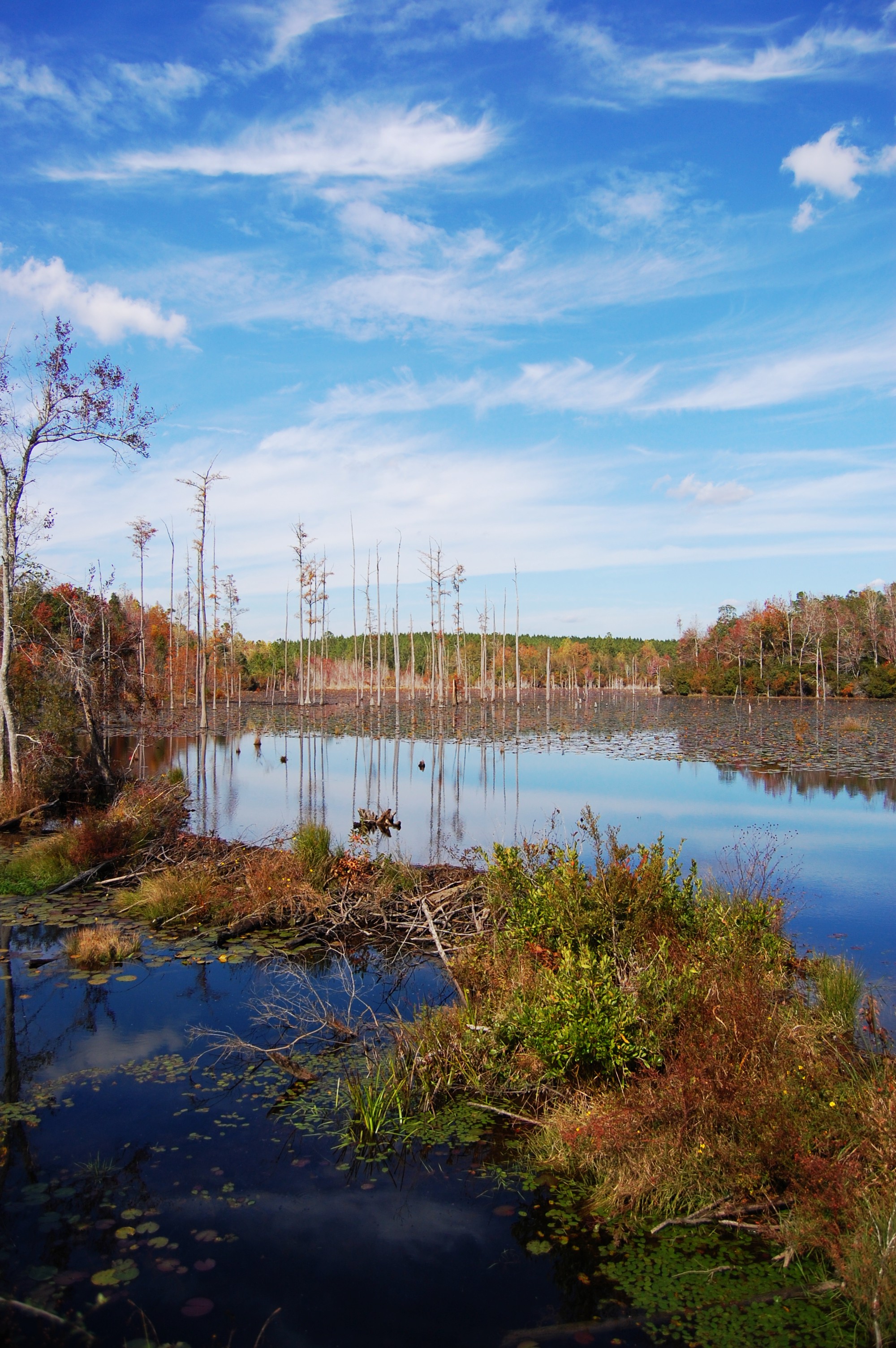
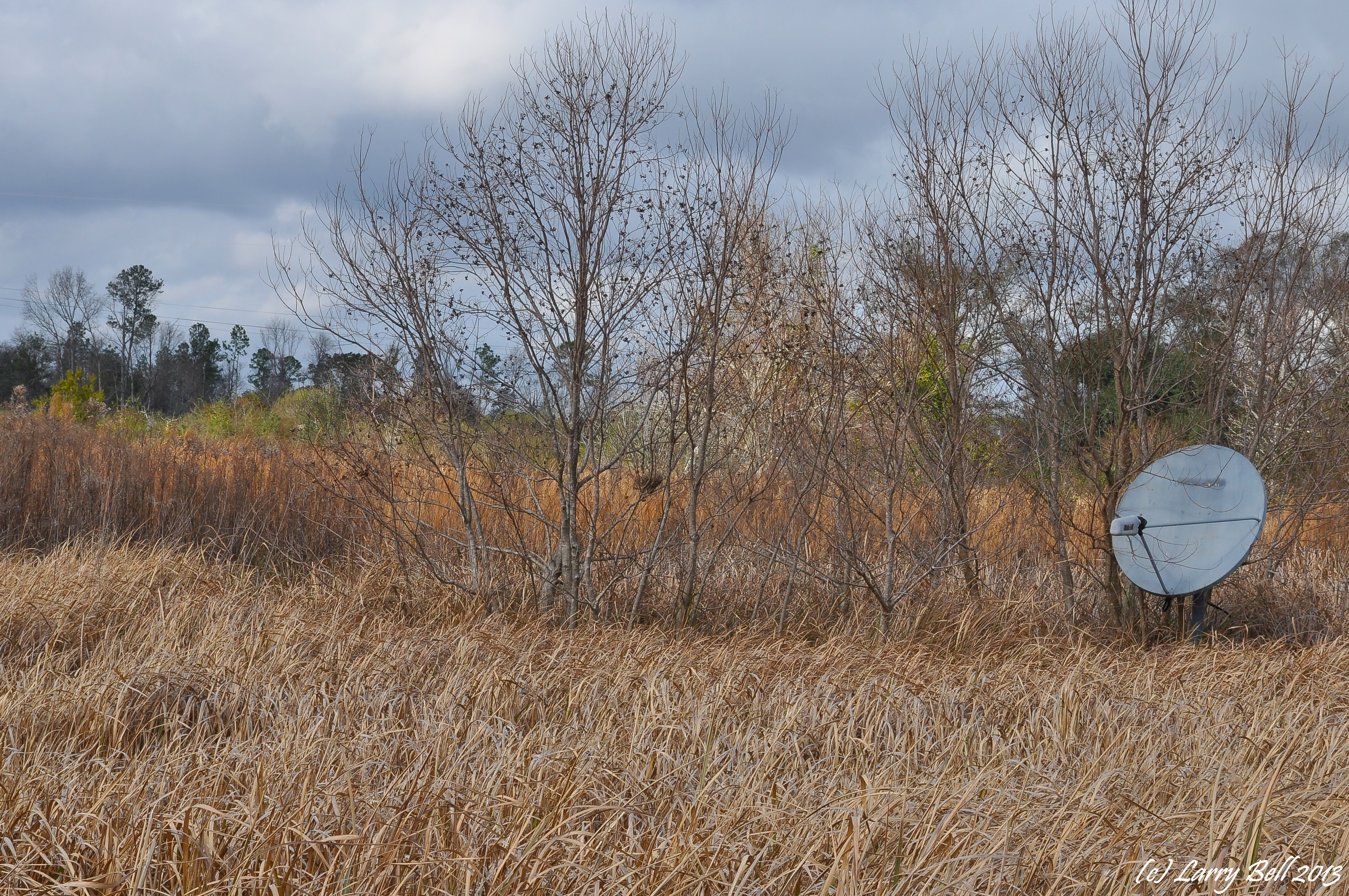
Pond and trees
DSC_1652.jpg

DSC_1652.jpg

DSC_1720.jpg
DSC_1720.jpg
DSC_0544.jpg
DSC_2137.jpg

DSC_1667.jpg

Galvinized but not impervious
DSC_1585.jpg
DSC_1740.jpg
DSC_1667.jpg
DSC_1732.jpg

DSC_1732.jpg

DSC_1735.jpg
DSC_1723.jpg
DSC_1735.jpg
DSC_1614.jpg
DSC_1806.jpg

DSC_1731.jpg
DSC_1731.jpg
Topographic Map of George County, MS, USA
Find elevation by address:

Places in George County, MS, USA:
Places near George County, MS, USA:
144 Jerry Fork Rd
157 Megs Rd
203 Live Oak Dr
Grain Elevator Rd, Lucedale, MS, USA
178 Lamar St
Red Creek
9700 Cheyenne Rd
Pascagoula River
19000 Busby Rd
10876 O Neal Rd
5701 Jeremy Ln
18500 Jason Calvin Ln
Wire Rd E, Perkinston, MS, USA
17804 River Walk Dr
17301 River Pl
17405 Spring Lake Dr W
Ramsey Springs
5428 Dogwood Dr
16640 Old River Rd
16640 Old River Rd
Recent Searches:
- Elevation of 107, Big Apple Road, East Palatka, Putnam County, Florida, 32131, USA
- Elevation of Jiezi, Chongzhou City, Sichuan, China
- Elevation of Chongzhou City, Sichuan, China
- Elevation of Huaiyuan, Chongzhou City, Sichuan, China
- Elevation of Qingxia, Chengdu, Sichuan, China
- Elevation of Corso Fratelli Cairoli, 35, Macerata MC, Italy
- Elevation of Tallevast Rd, Sarasota, FL, USA
- Elevation of 4th St E, Sonoma, CA, USA
- Elevation of Black Hollow Rd, Pennsdale, PA, USA
- Elevation of Oakland Ave, Williamsport, PA, USA
- Elevation of Pedrógão Grande, Portugal
- Elevation of Klee Dr, Martinsburg, WV, USA
- Elevation of Via Roma, Pieranica CR, Italy
- Elevation of Tavkvetili Mountain, Georgia
- Elevation of Hartfords Bluff Cir, Mt Pleasant, SC, USA
- Elevation of SW Barberry Dr, Beaverton, OR, USA
- Elevation of Old Ahsahka Grade, Ahsahka, ID, USA
- Elevation of State Hwy F, Pacific, MO, USA
- Elevation of Chemin de Bel air, Chem. de Bel air, Mougins, France
- Elevation of Cloverdale Dr, Bloomingdale, GA, USA