Elevation of O Neal Rd, Vancleave, MS, USA
Location: United States > Mississippi > Jackson County > Vancleave >
Longitude: -88.789461
Latitude: 30.6442314
Elevation: 44m / 144feet
Barometric Pressure: 101KPa
Elevation Map:
Satellite Map:
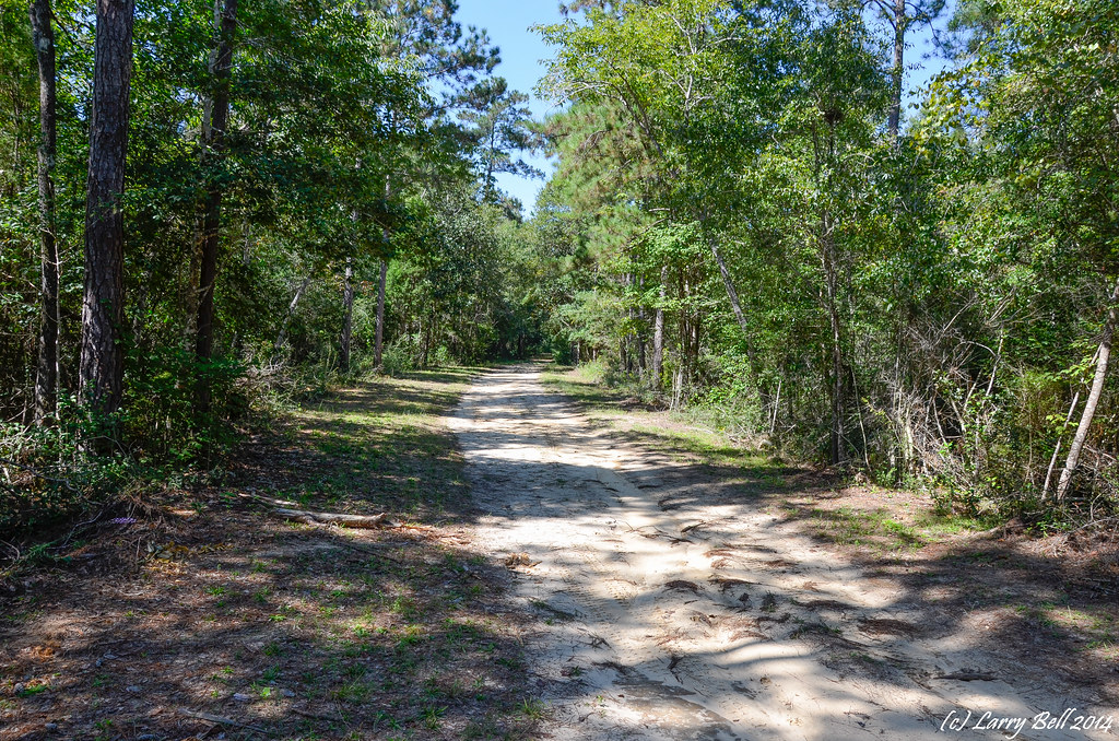
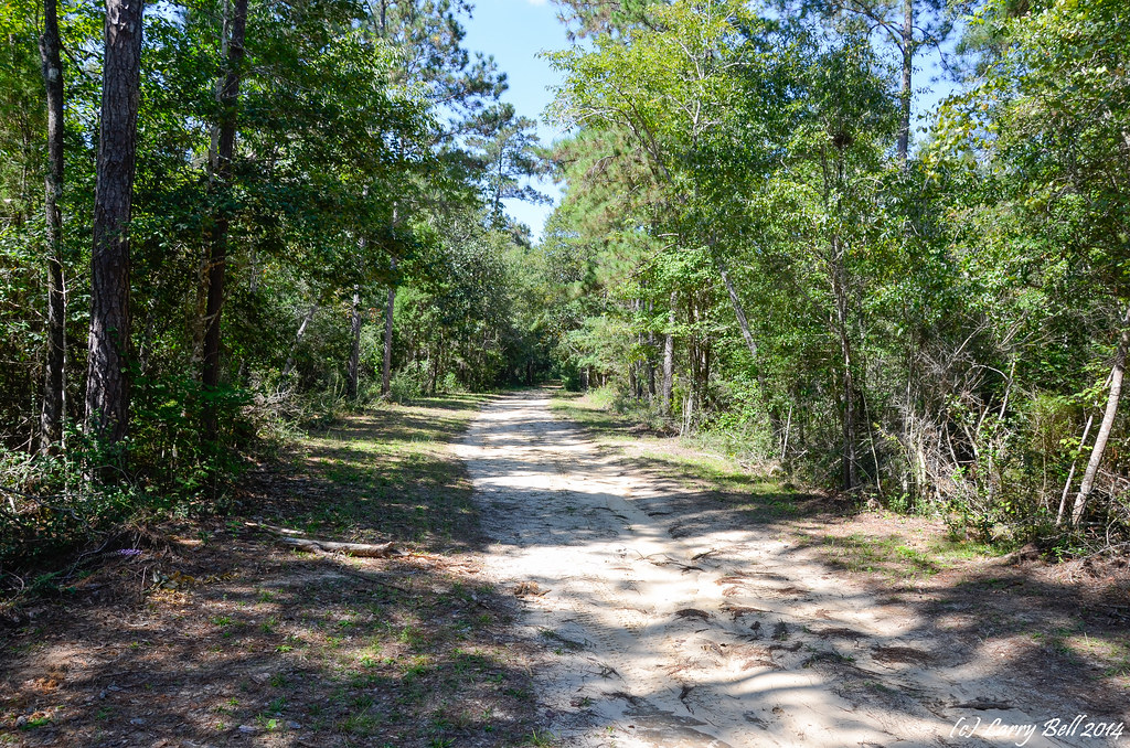
Related Photos:

_DSC0747.jpg

_DSC0750.jpg

_DSC0749.jpg

_DSC0748.jpg

_DSC0746.jpg

_DSC0741.jpg

_DSC0706.jpg
_DSC0041.jpg
_DSC0040.jpg

aaa-4135

aaa-4252

aaa-4262

aaa-4303

aaa-5886

aaa-5900

aaa-5946

aaa-6068

aaa-6136

aaa-6182
Topographic Map of O Neal Rd, Vancleave, MS, USA
Find elevation by address:

Places near O Neal Rd, Vancleave, MS, USA:
19000 Busby Rd
9700 Cheyenne Rd
14400 Scarborough Rd
14608 Nature Trail Central
14601 Nature Trail Central
5701 Jeremy Ln
14504 Ramsay Oaks Dr
15421 Indian Fork Rd
18500 Jason Calvin Ln
16100 Ms-57
10200 Jim Ramsay Rd
10200 Jim Ramsay Rd
17405 Spring Lake Dr W
5428 Dogwood Dr
16521 Old Biloxi Rd
Wire Rd E, Perkinston, MS, USA
150 Ms-15
13105 Little Bluff Dr
Red Creek
Latimer
Recent Searches:
- Elevation of Woolwine, VA, USA
- Elevation of Lumagwas Diversified Farmers Multi-Purpose Cooperative, Lumagwas, Adtuyon, RV32+MH7, Pangantucan, Bukidnon, Philippines
- Elevation of Homestead Ridge, New Braunfels, TX, USA
- Elevation of Orchard Road, Orchard Rd, Marlborough, NY, USA
- Elevation of 12 Hutchinson Woods Dr, Fletcher, NC, USA
- Elevation of Holloway Ave, San Francisco, CA, USA
- Elevation of Norfolk, NY, USA
- Elevation of - San Marcos Pass Rd, Santa Barbara, CA, USA
- Elevation of th Pl SE, Issaquah, WA, USA
- Elevation of 82- D Rd, Captain Cook, HI, USA