Elevation of Wire Rd E, Perkinston, MS, USA
Location: United States > Mississippi > Jackson County >
Longitude: -88.875857
Latitude: 30.712414
Elevation: 52m / 171feet
Barometric Pressure: 101KPa
Elevation Map:
Satellite Map:
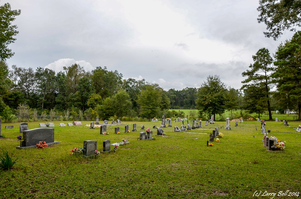
Related Photos:
Black Creek-Side View

_DSC0747.jpg

DSCF0383-Edit
DSCF0317-Edit

DSCF0324-Edit

Go jump in a lake

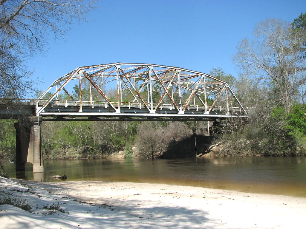
Broken Bridge

Flooded Trail
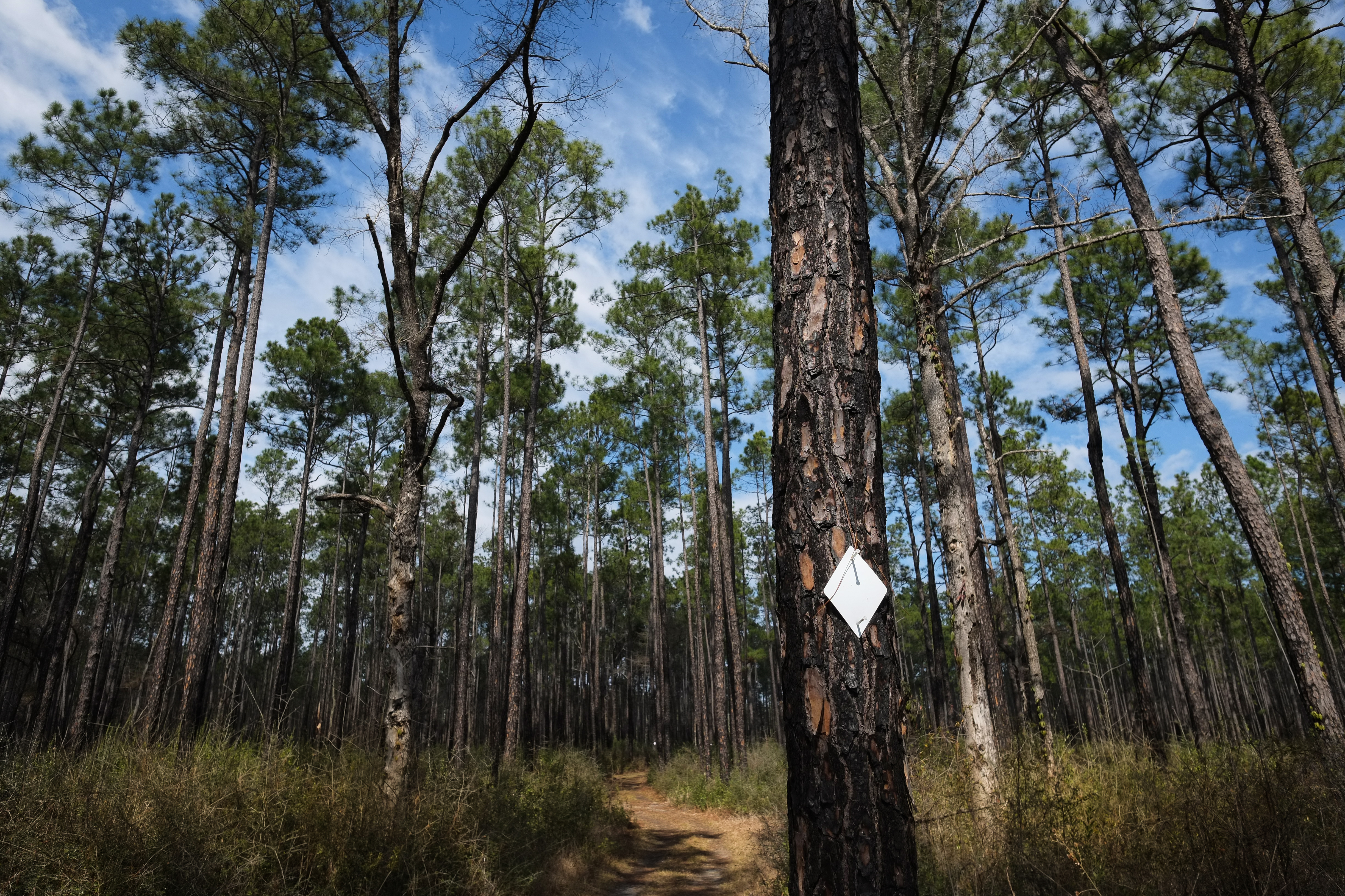
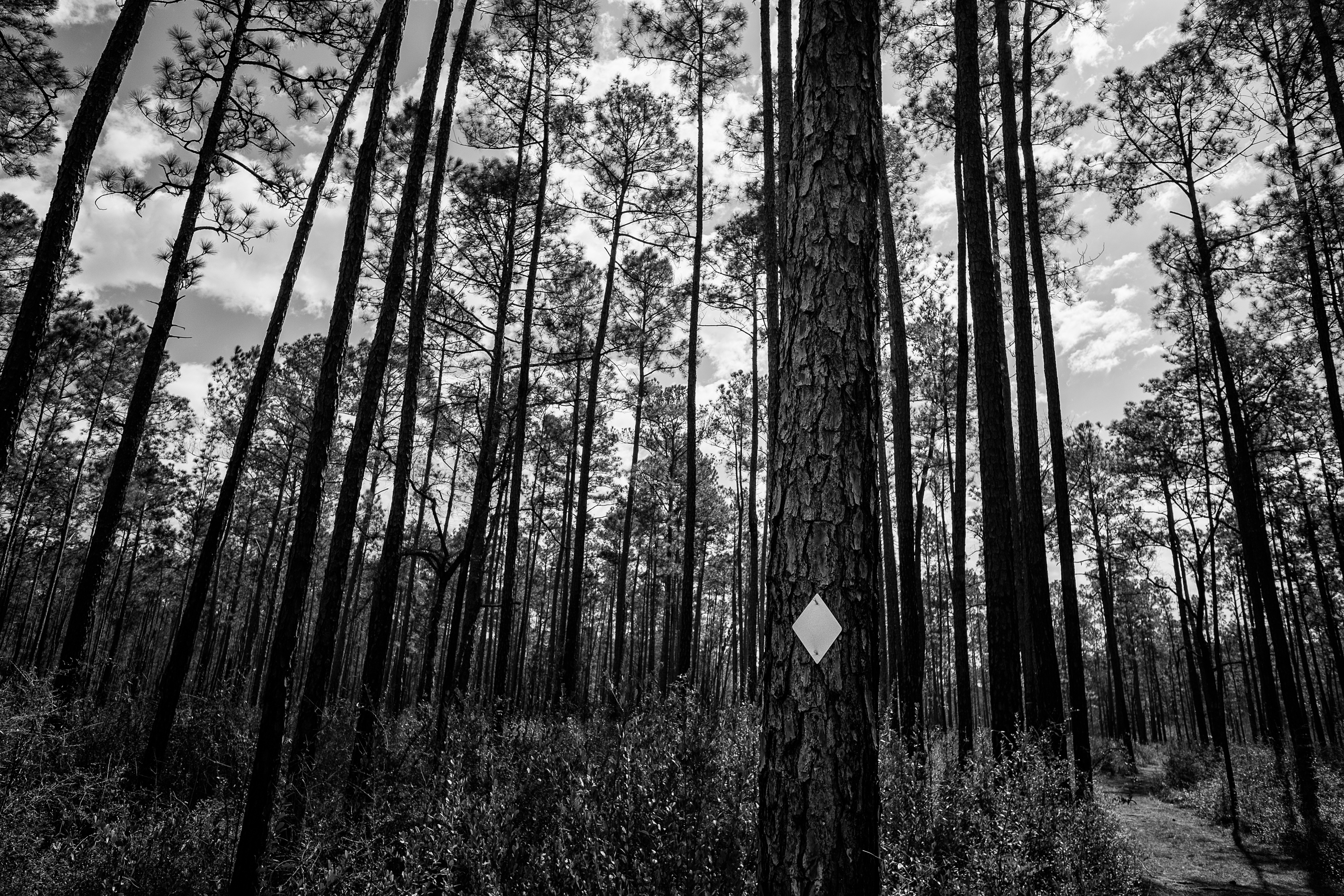
Tuxachanie Trail Blaze
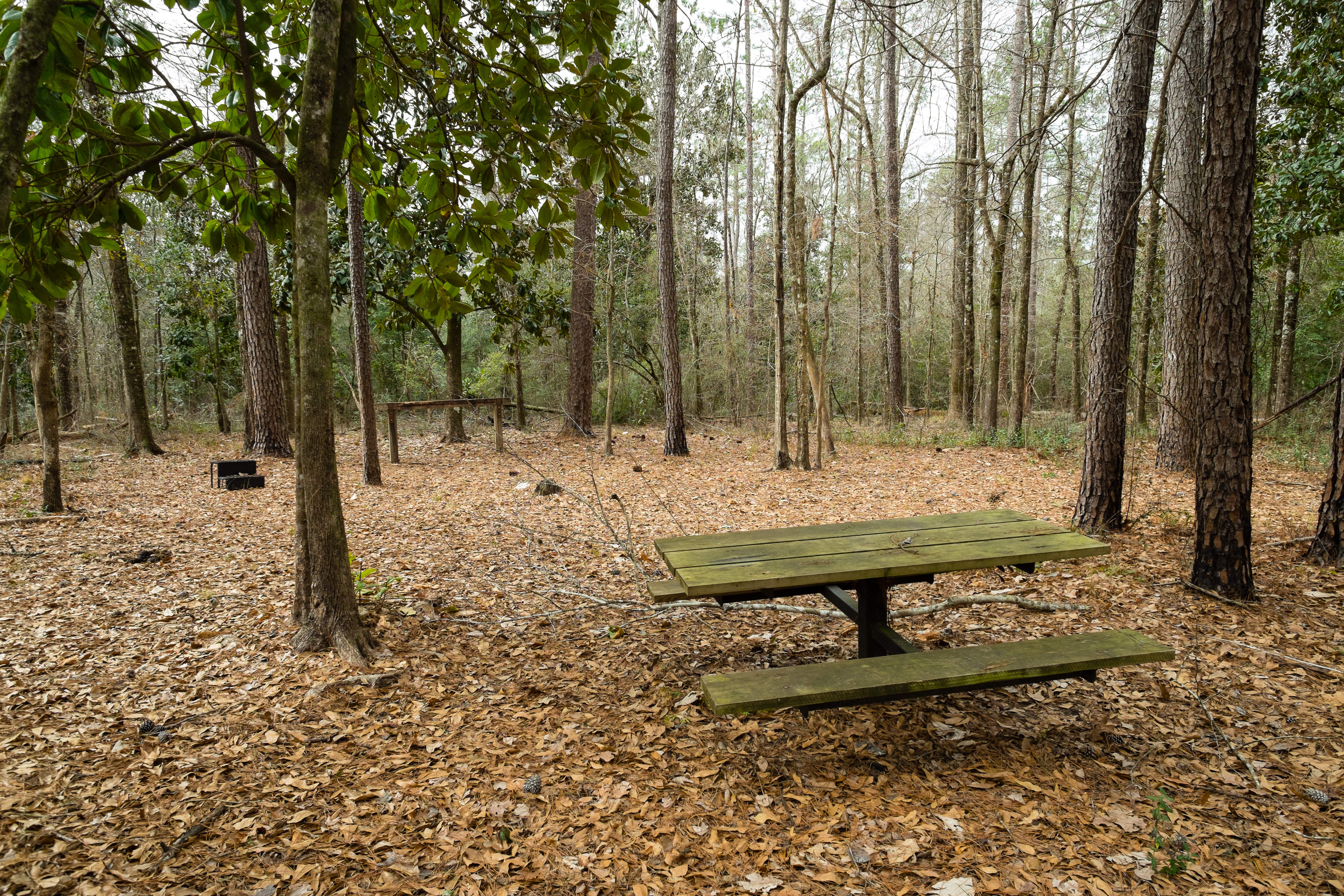
Horse Trail Camp
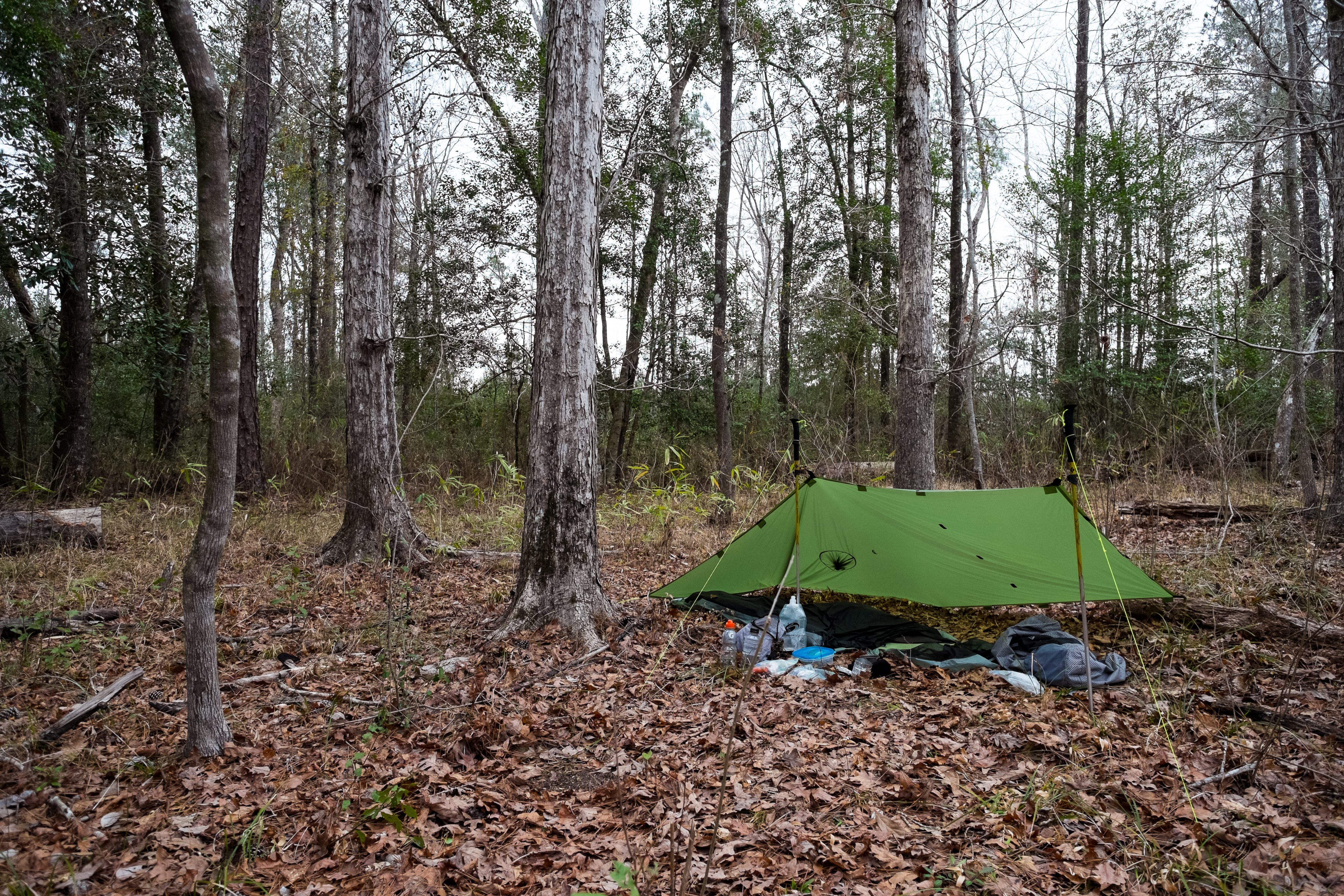
The Camp
_DSC0750.jpg
_DSC0749.jpg

_DSC0748.jpg

_DSC0746.jpg

_DSC0741.jpg

_DSC0706.jpg
Topographic Map of Wire Rd E, Perkinston, MS, USA
Find elevation by address:

Places near Wire Rd E, Perkinston, MS, USA:
150 Ms-15
Ramsey Springs
15421 Indian Fork Rd
9700 Cheyenne Rd
10876 O Neal Rd
16521 Old Biloxi Rd
14400 Scarborough Rd
3016 Ms-15
Latimer
22149 Pine Haven
14601 Nature Trail Central
14608 Nature Trail Central
19000 Busby Rd
14504 Ramsay Oaks Dr
Wallace Road
10200 Jim Ramsay Rd
10200 Jim Ramsay Rd
5701 Jeremy Ln
Big Level
18500 Jason Calvin Ln
Recent Searches:
- Elevation of Felindre, Swansea SA5 7LU, UK
- Elevation of Leyte Industrial Development Estate, Isabel, Leyte, Philippines
- Elevation of W Granada St, Tampa, FL, USA
- Elevation of Pykes Down, Ivybridge PL21 0BY, UK
- Elevation of Jalan Senandin, Lutong, Miri, Sarawak, Malaysia
- Elevation of Bilohirs'k
- Elevation of 30 Oak Lawn Dr, Barkhamsted, CT, USA
- Elevation of Luther Road, Luther Rd, Auburn, CA, USA
- Elevation of Unnamed Road, Respublika Severnaya Osetiya — Alaniya, Russia
- Elevation of Verkhny Fiagdon, North Ossetia–Alania Republic, Russia