Elevation of General Puller Hwy, Saluda, VA, USA
Location: United States > Virginia > Middlesex County >
Longitude: -76.565740
Latitude: 37.6012045
Elevation: 28m / 92feet
Barometric Pressure: 101KPa
Elevation Map:
Satellite Map:
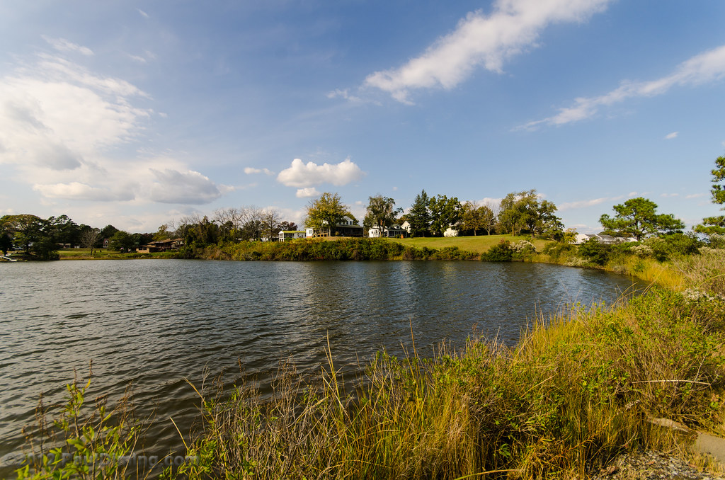
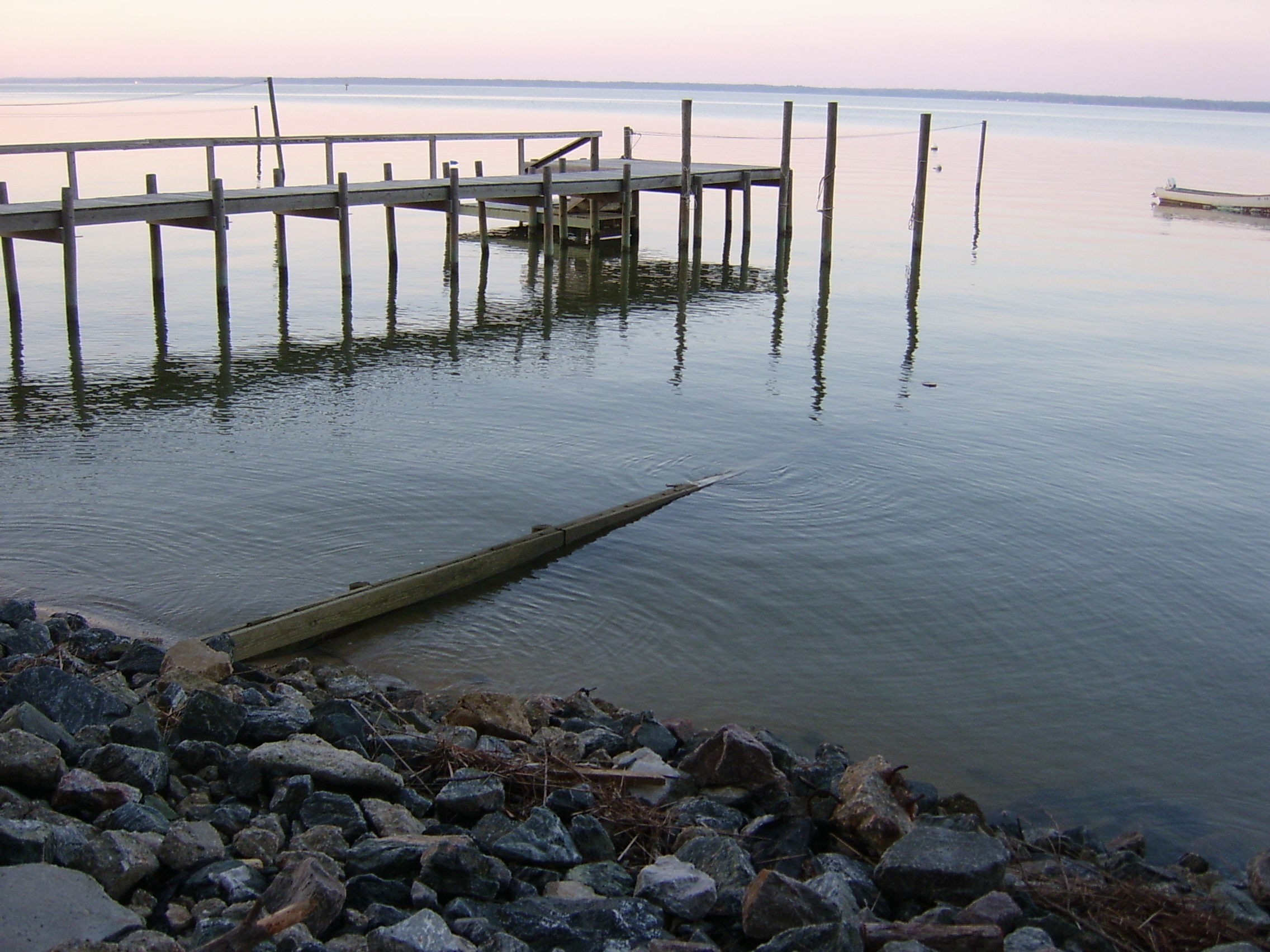
Related Photos:
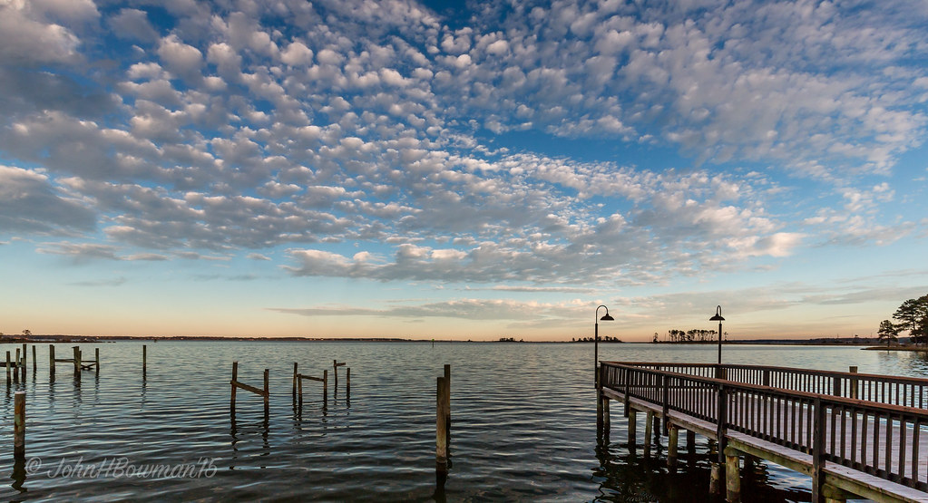
"Popcorn" Sky
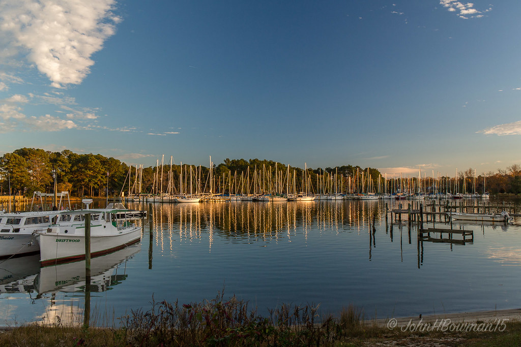
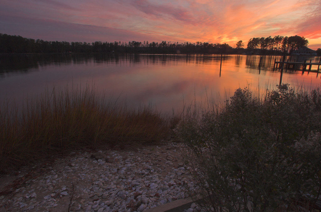
Locklies Marina, Near Chesapeake Bay

bow view

Deck View 4

2014.09.02 195K Views

Sorrow Pain-Virginia

Telephone 2

Dock & Cloud-Virginia

Inn at Woodstock - River view at sunset
View from the Road to Towles Point, Lancaster County, VA
Sheltering Arms
1943 Fairchild PT-19

2014JEK0227089.jpg

Burning Bush

Rest-Virginia

Deck View 5

Deck View 1
Inn at Woodstock - River view at sunset
Far Away From Home-Virginia
Old Middlesex Courthouse
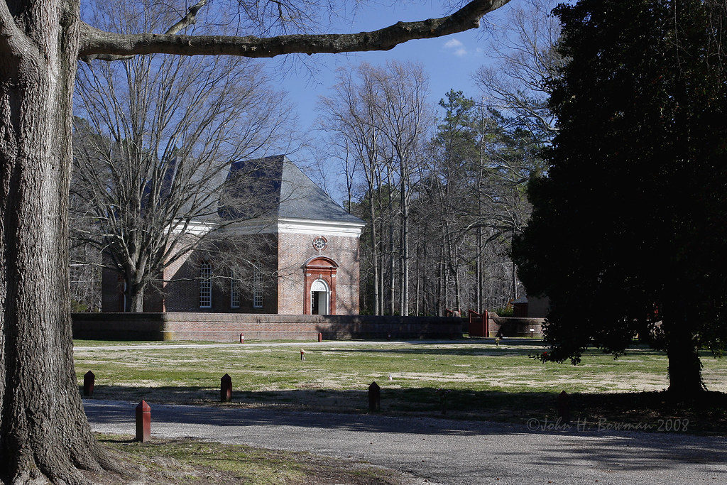
Wooded setting of Christ Church
Above The Fields
Inn at Woodstock - View across the field

Locklies Creek, Topping Virginia 7:20 p.m. 6/10/16
#8532 - white_house_sunset
#8544 - white_house_sunset

#0476-8 - Groundfog (HDR / Lofi)

Rappahannock River Oyster Company in Topping, Va.

Kayaking the Dragon Run

Lazy Afternoon
Inn at Woodstock - Approach

#8975 - greenvale-creek-frozen
Afternoon on the River
Winter on Carters Creek.

Rappahannock River, Wake, VA
Pond - Urbanna, VA
Down by the Dock

Scallop Beach

"Sailor's Delight" On The Corrotoman River
Topographic Map of General Puller Hwy, Saluda, VA, USA
Find elevation by address:

Places near General Puller Hwy, Saluda, VA, USA:
General Puller Hwy, Saluda, VA, USA
Saluda
454 General Puller Hwy
Middlesex County
Saluda
Deerchase Road
Locust Hill
12424 Salem Church Rd
Highgate Lane
993 Whiting Creek Rd
Hunny Pot Lane
Bennett Farm Road
Salem Church Rd, Gloucester Courthouse, VA, USA
1804 Kates Neck Rd
50 Canton Dr
Freeport Rd, Gloucester Courthouse, VA, USA
4757 Hill Trail
Topping
708 Shore Dr
Walton Drive
Recent Searches:
- Elevation of Spaceport America, Co Rd A, Truth or Consequences, NM, USA
- Elevation of Warwick, RI, USA
- Elevation of Fern Rd, Whitmore, CA, USA
- Elevation of 62 Abbey St, Marshfield, MA, USA
- Elevation of Fernwood, Bradenton, FL, USA
- Elevation of Felindre, Swansea SA5 7LU, UK
- Elevation of Leyte Industrial Development Estate, Isabel, Leyte, Philippines
- Elevation of W Granada St, Tampa, FL, USA
- Elevation of Pykes Down, Ivybridge PL21 0BY, UK
- Elevation of Jalan Senandin, Lutong, Miri, Sarawak, Malaysia