Elevation of Gambah Dr, Auburn, CA, USA
Location: United States > California > Placer County > Auburn >
Longitude: -121.13763
Latitude: 38.95113
Elevation: 369m / 1211feet
Barometric Pressure: 97KPa
Elevation Map:
Satellite Map:
Related Photos:
Grotto of the Falls
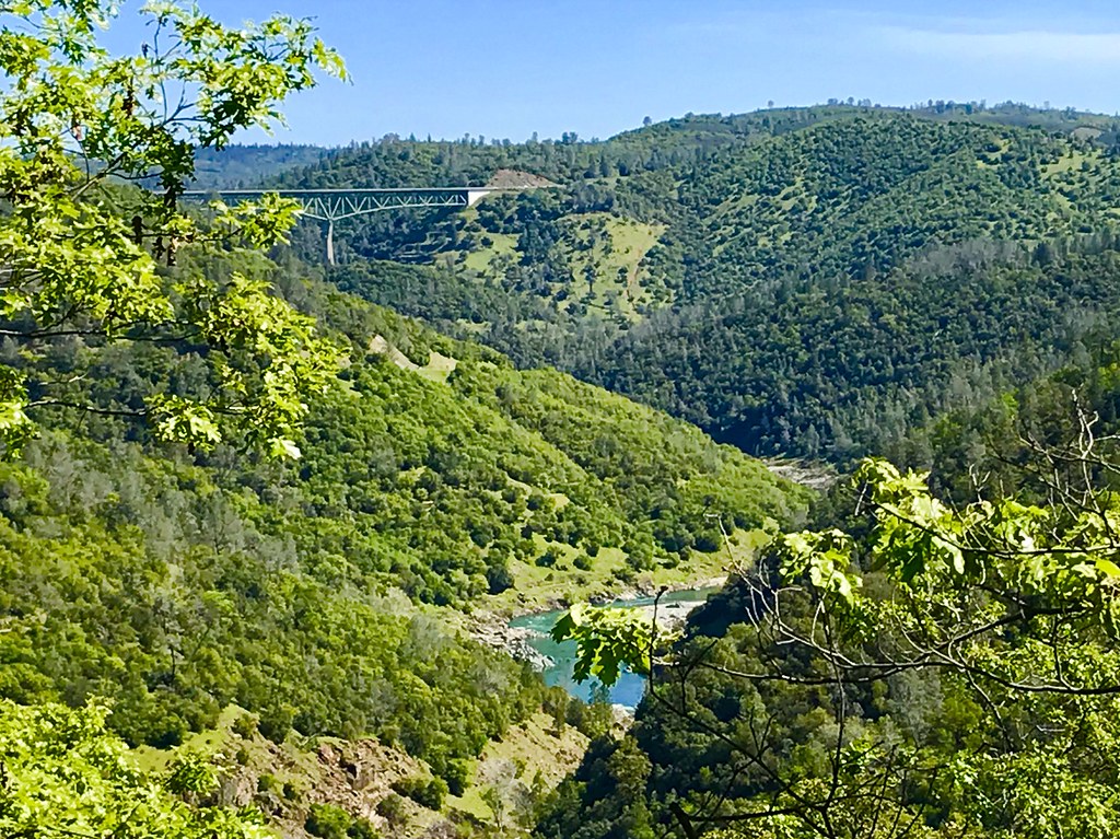
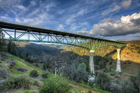
Two Famous Bridges 0935

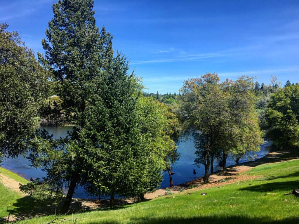
Folsom Lake - Rattlesnake Bar
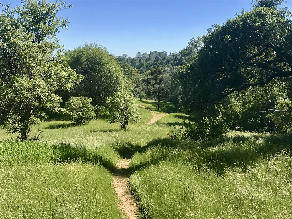
Trail View
Full Sized Moon and Story 6479

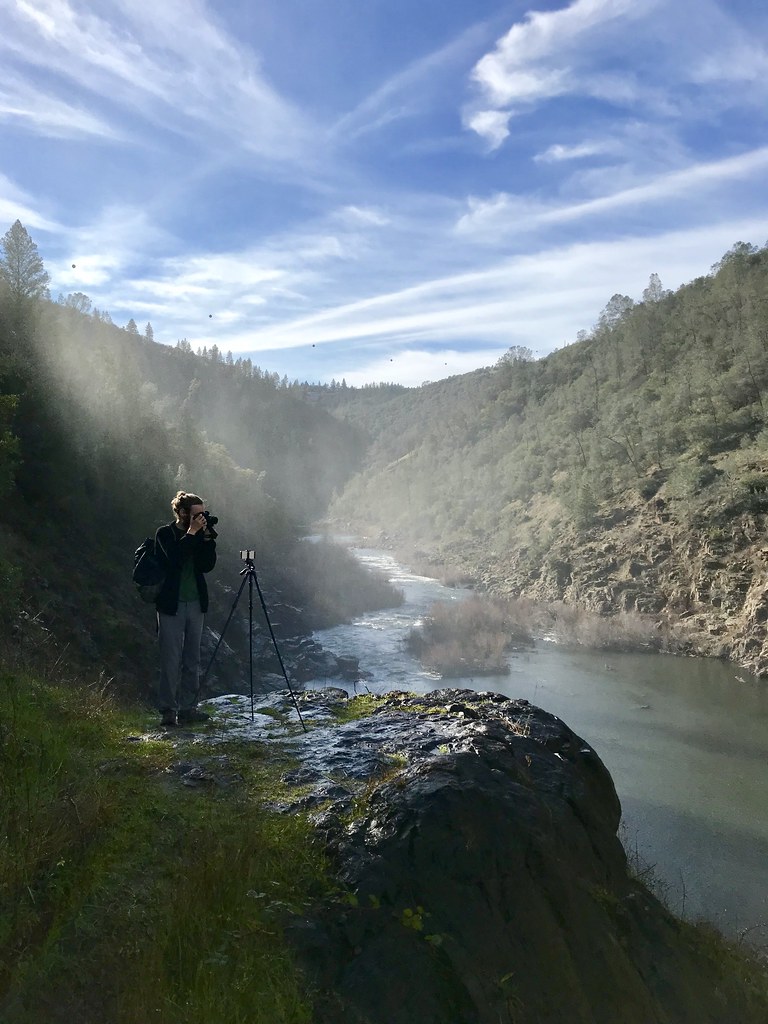
North Fork American River
Green. Blue. Good book. Good view. Perfect weather. #california #sunshine #view #peace #quiet
Courthouse View

Quarry Wall Under Forest Moonlight

Best rear view ever
Canyon View Preserve
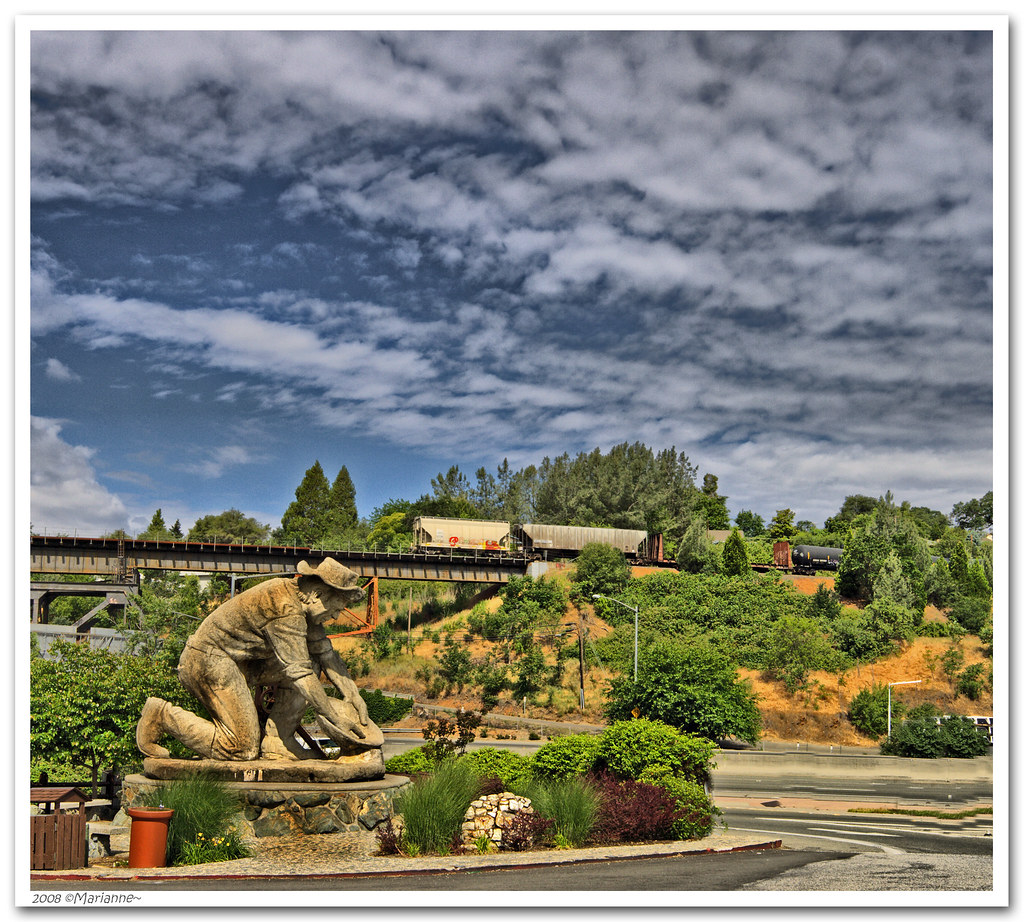
From the Gold Country

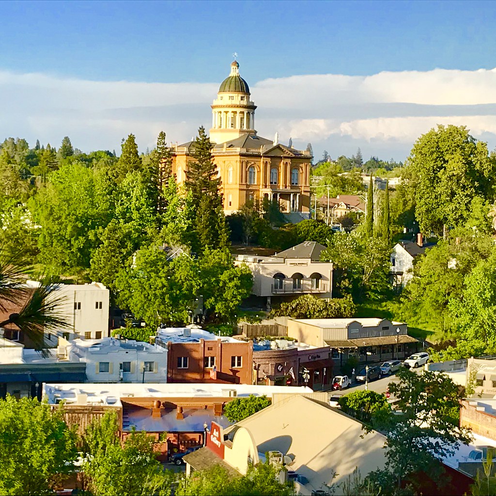
The Auburn Courthouse

Kitty Trance
Upstream View
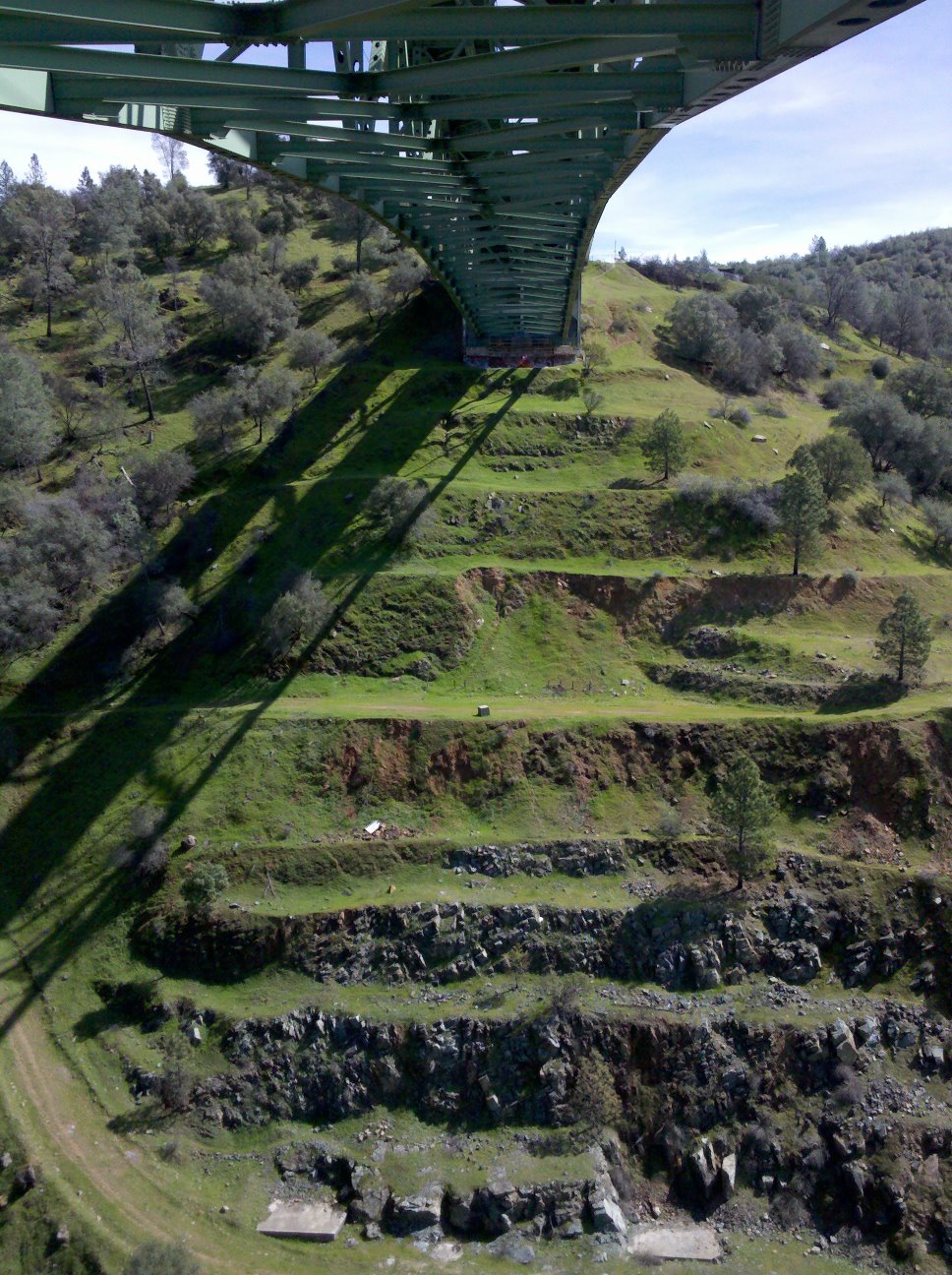
View towards east abutment
North Fork of American River
Paralleling tracks

Couple-2059
Canyon View
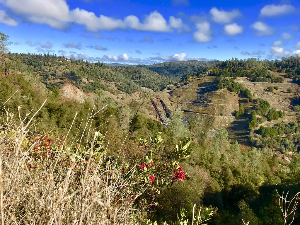
Scenes from Placer County
North Fork Photo Op

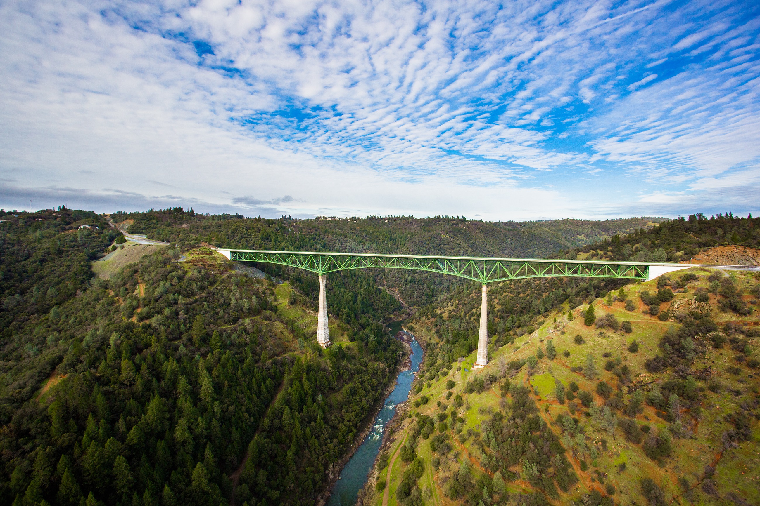
Foresthill Bridge
Pines Peaking Through
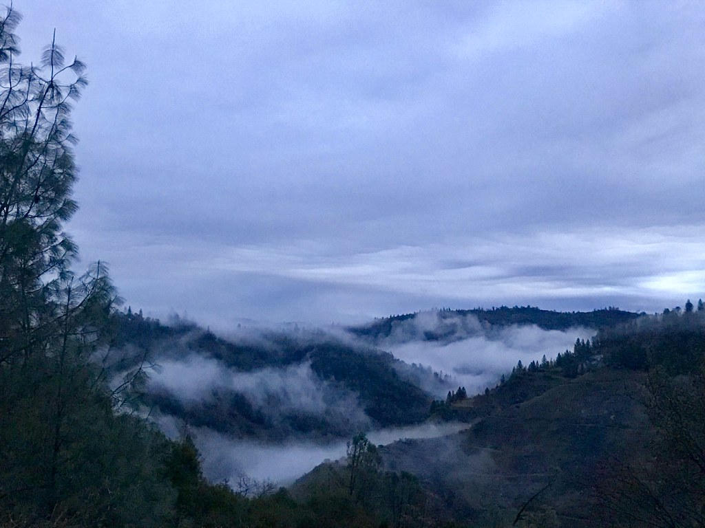
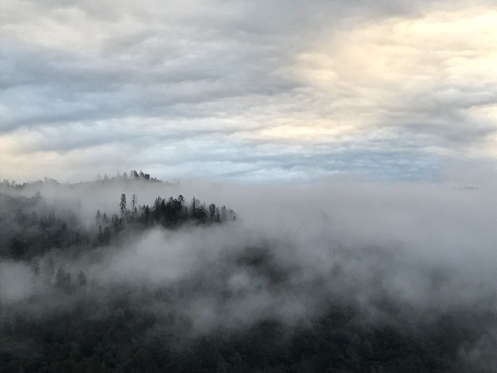
Canyon Clouds
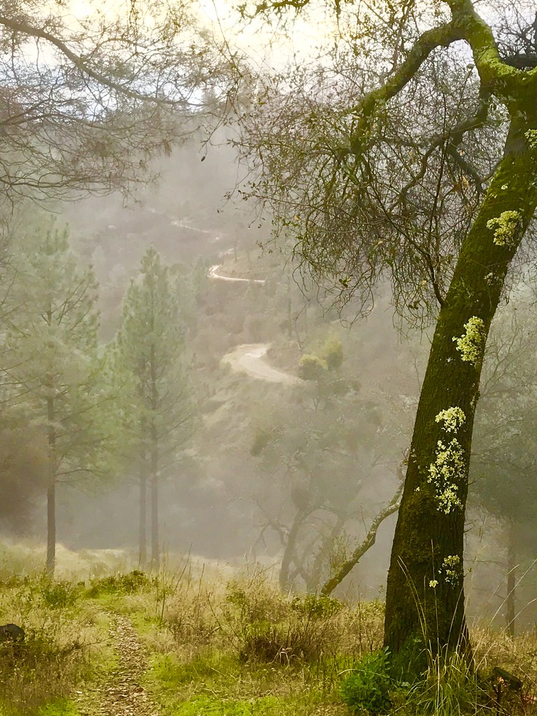
Misty Trail
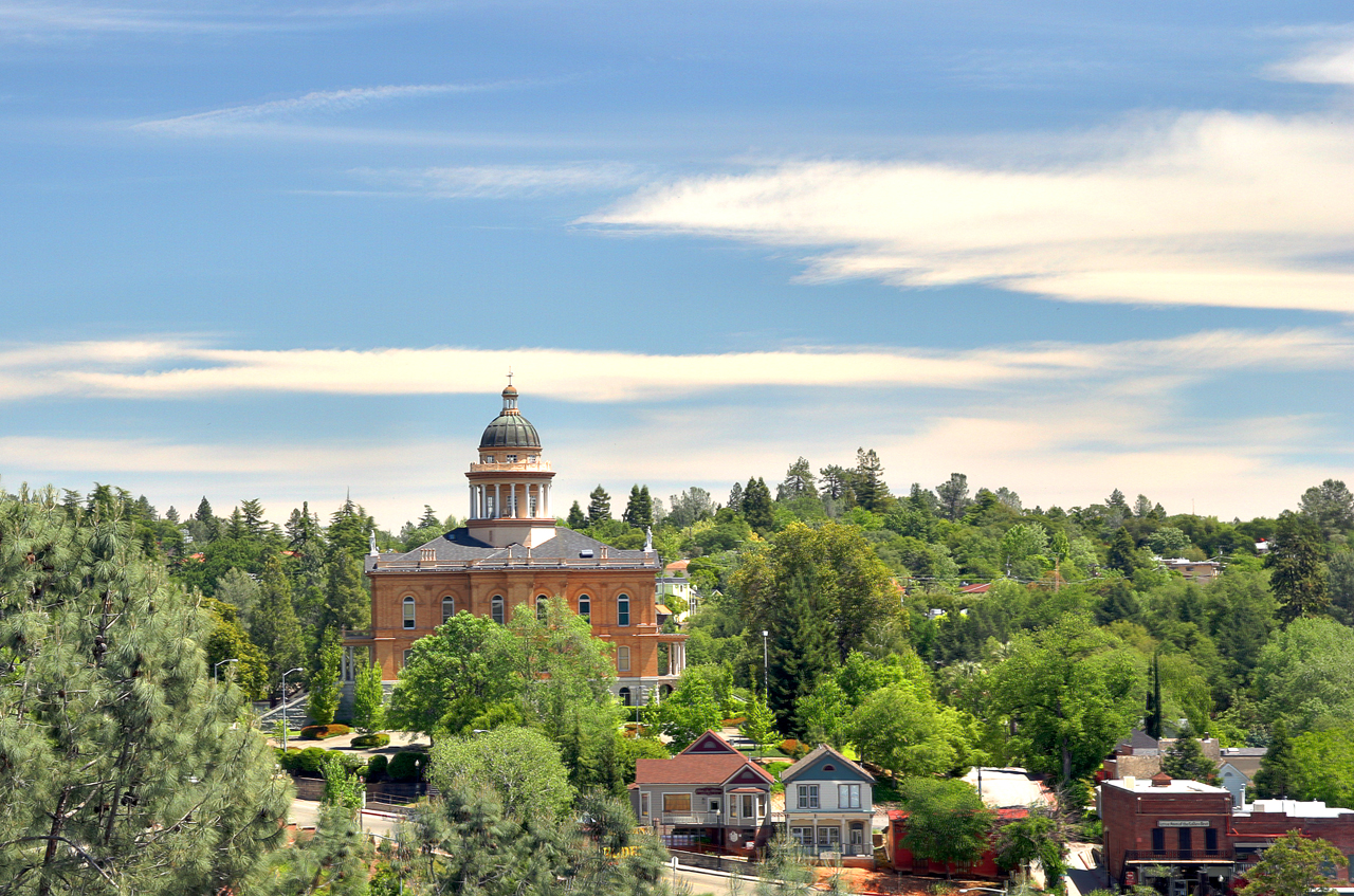
Historic Auburn HDR 4115
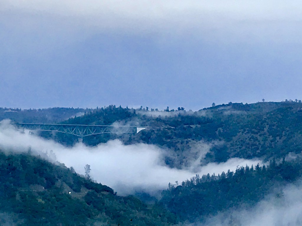
Foresthill Bridge

Mirror Image

Canyon Clouds
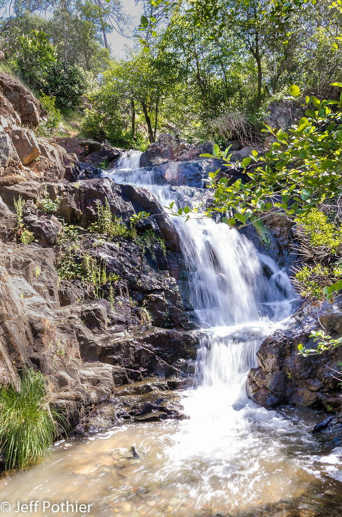
Hidden Falls

Hidden Falls
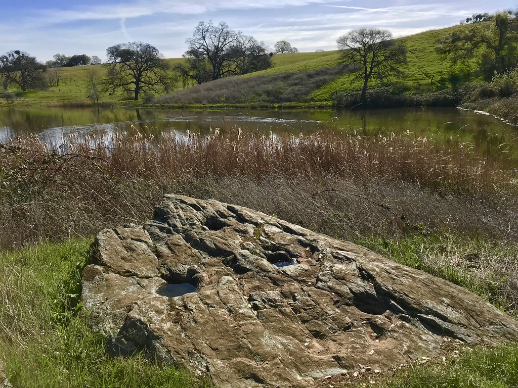
Grinding Rock

Winter Sunrise
Bryan on the Rocks
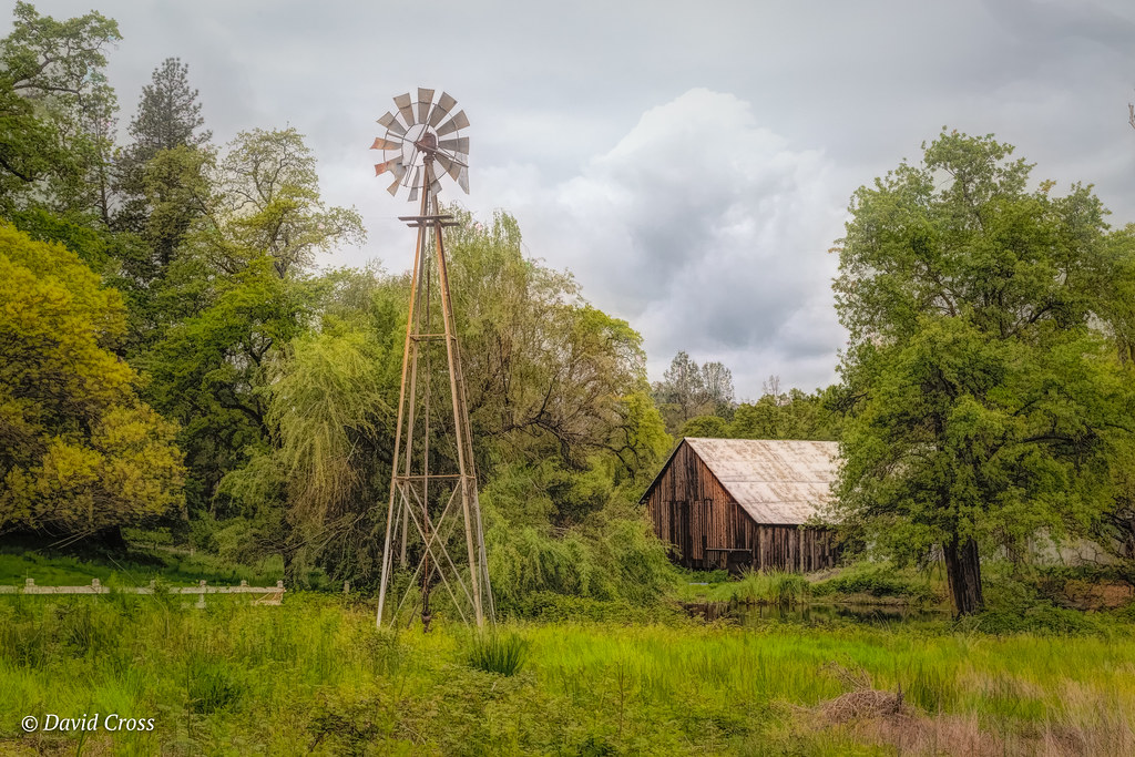
Down on the Farm

Cool Quarry

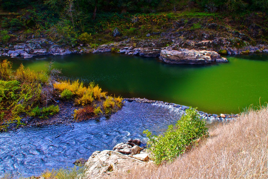
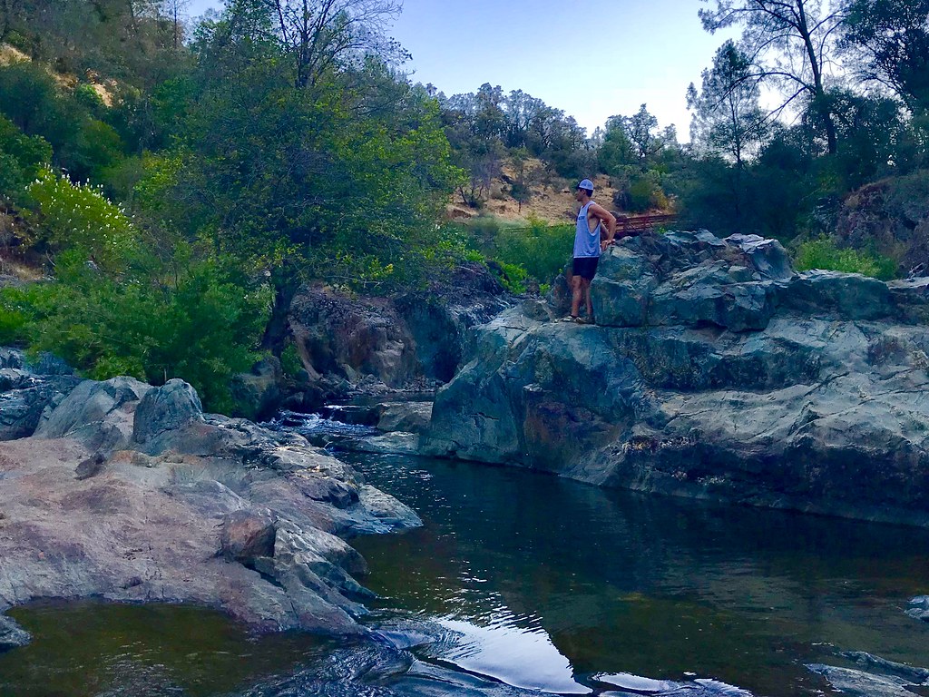
Clark's Hole
Forresthill Bridge
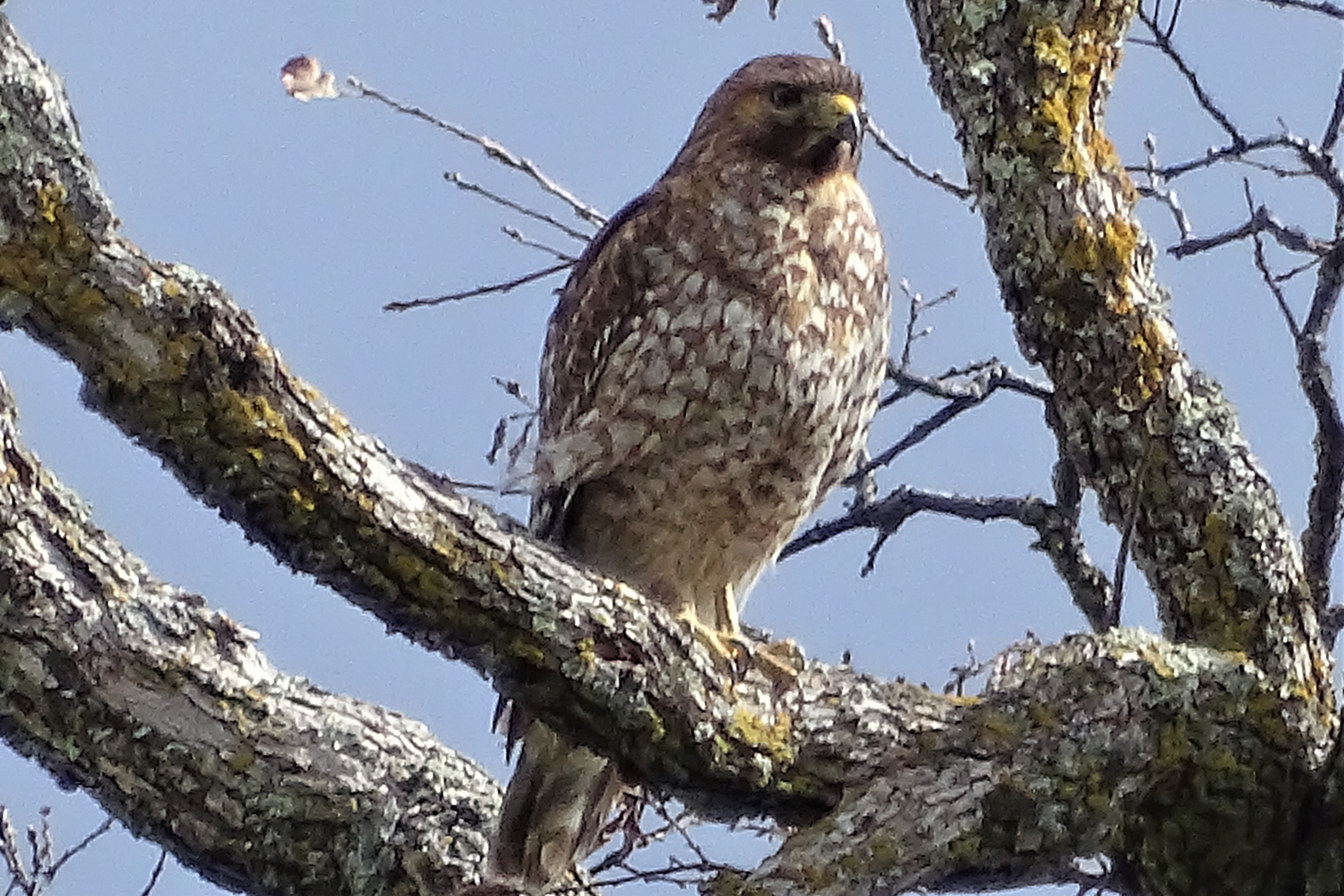
Red-shouldered Hawk (immature)--Buteo lineatus
Topographic Map of Gambah Dr, Auburn, CA, USA
Find elevation by address:

Places near Gambah Dr, Auburn, CA, USA:
10145 Coyote Ridge Ct
9180 Cope Ln
8265 Mt Vernon Rd
9800 Joeger Rd
8217 Memory Ln
4011 Creekhaven Rd
9100 Shanley Ln
3668 Richardson Dr
11600 Quail Rd
2330 Country Ln
11512 B Ave
11309 Bosal Cir
Elders Corner
2625 Frontier Rd
Dry Creek Rd, Auburn, CA, USA
2209 Sombrero Ct
Bridle Court
Gold Country Rv
2366 Bald Hill Rd
11670 Atwood Rd
Recent Searches:
- Elevation of Alisal Rd, Solvang, CA, USA
- Elevation of Vista Blvd, Sparks, NV, USA
- Elevation of 15th Ave SE, St. Petersburg, FL, USA
- Elevation of Beall Road, Beall Rd, Florida, USA
- Elevation of Leguwa, Nepal
- Elevation of County Rd, Enterprise, AL, USA
- Elevation of Kolchuginsky District, Vladimir Oblast, Russia
- Elevation of Shustino, Vladimir Oblast, Russia
- Elevation of Lampiasi St, Sarasota, FL, USA
- Elevation of Elwyn Dr, Roanoke Rapids, NC, USA