Elevation of Galena Peak, Colorado, USA
Location: United States > Colorado > Moffat >
Longitude: -105.86889
Latitude: 38.3088873
Elevation: 3751m / 12306feet
Barometric Pressure: 64KPa
Elevation Map:
Satellite Map:
Related Photos:

Rainbow Lake
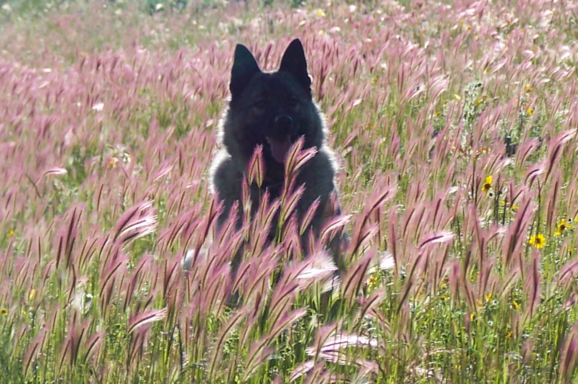
Grizzly, Norwegian Elkhound, in tall grass.
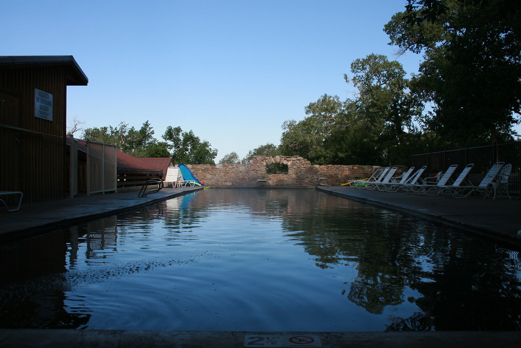
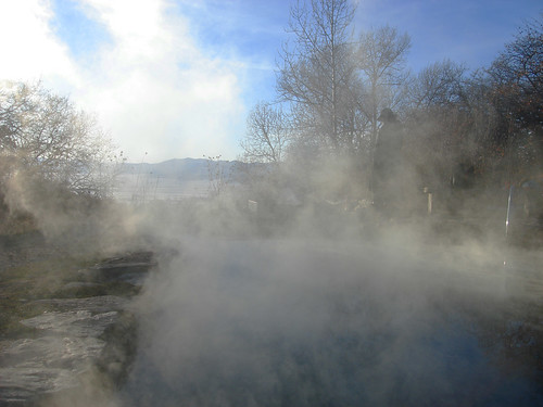
Waterfall Pool

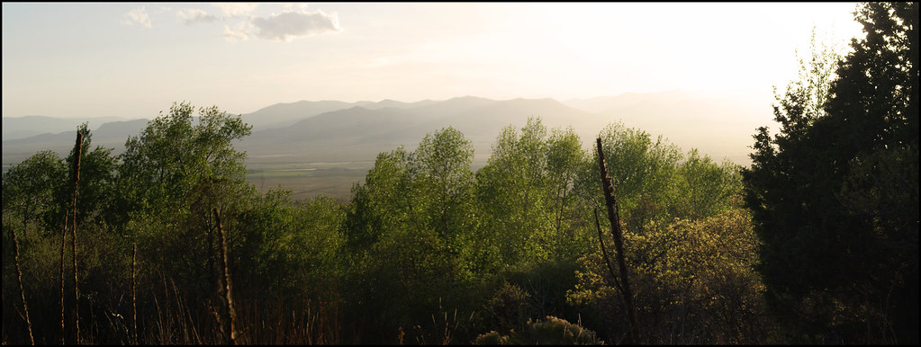
Valley View Panorama

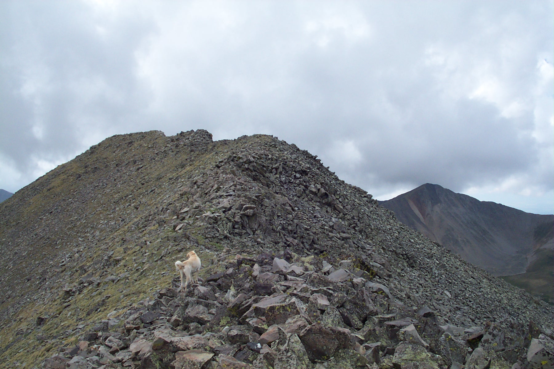
Sally Takes in the View

Orient Land Trust

Scrub Oak Fall Colors

Orient Mine

Ghost Town of Orient

Orient Mine
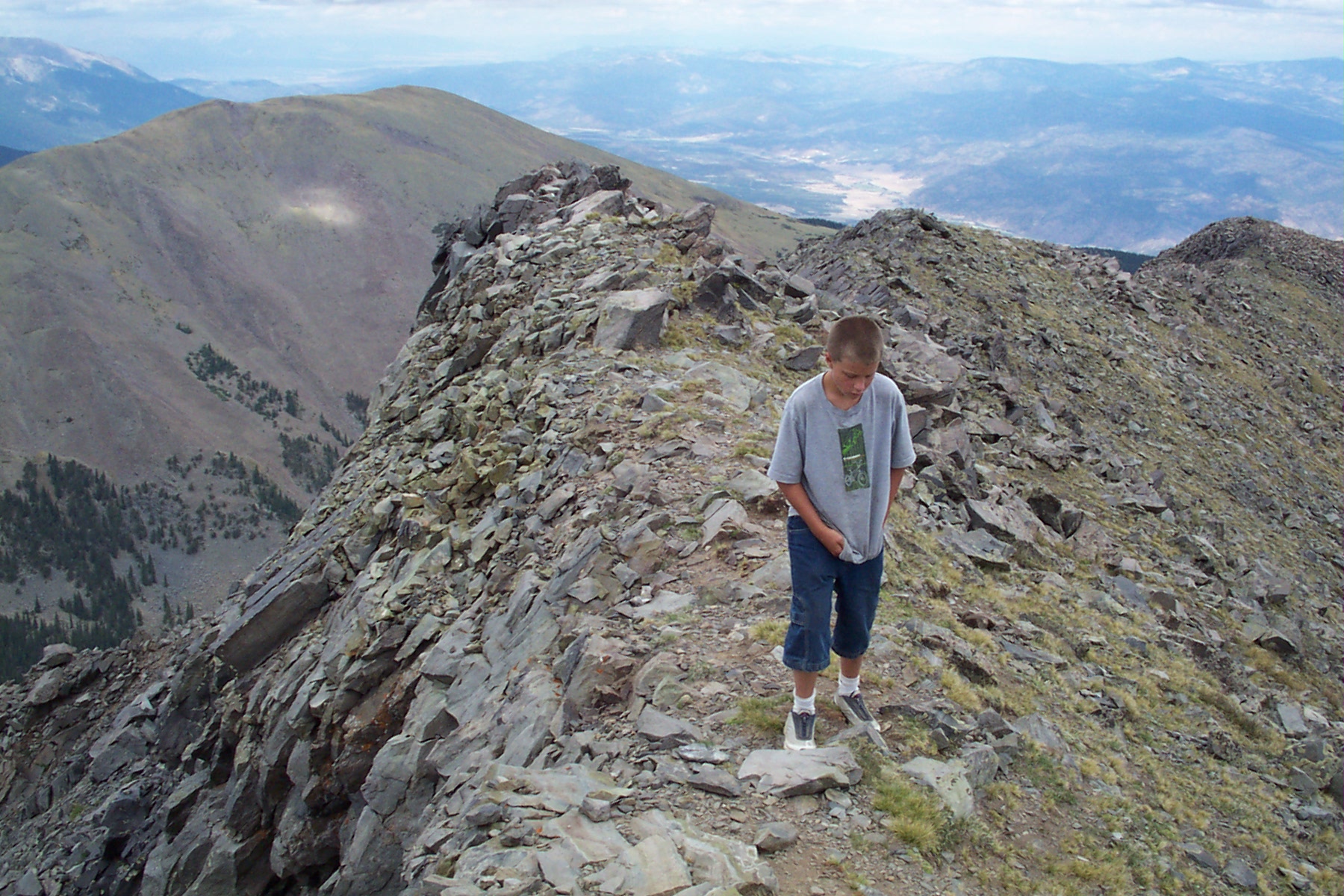
Eagle Peak Hike
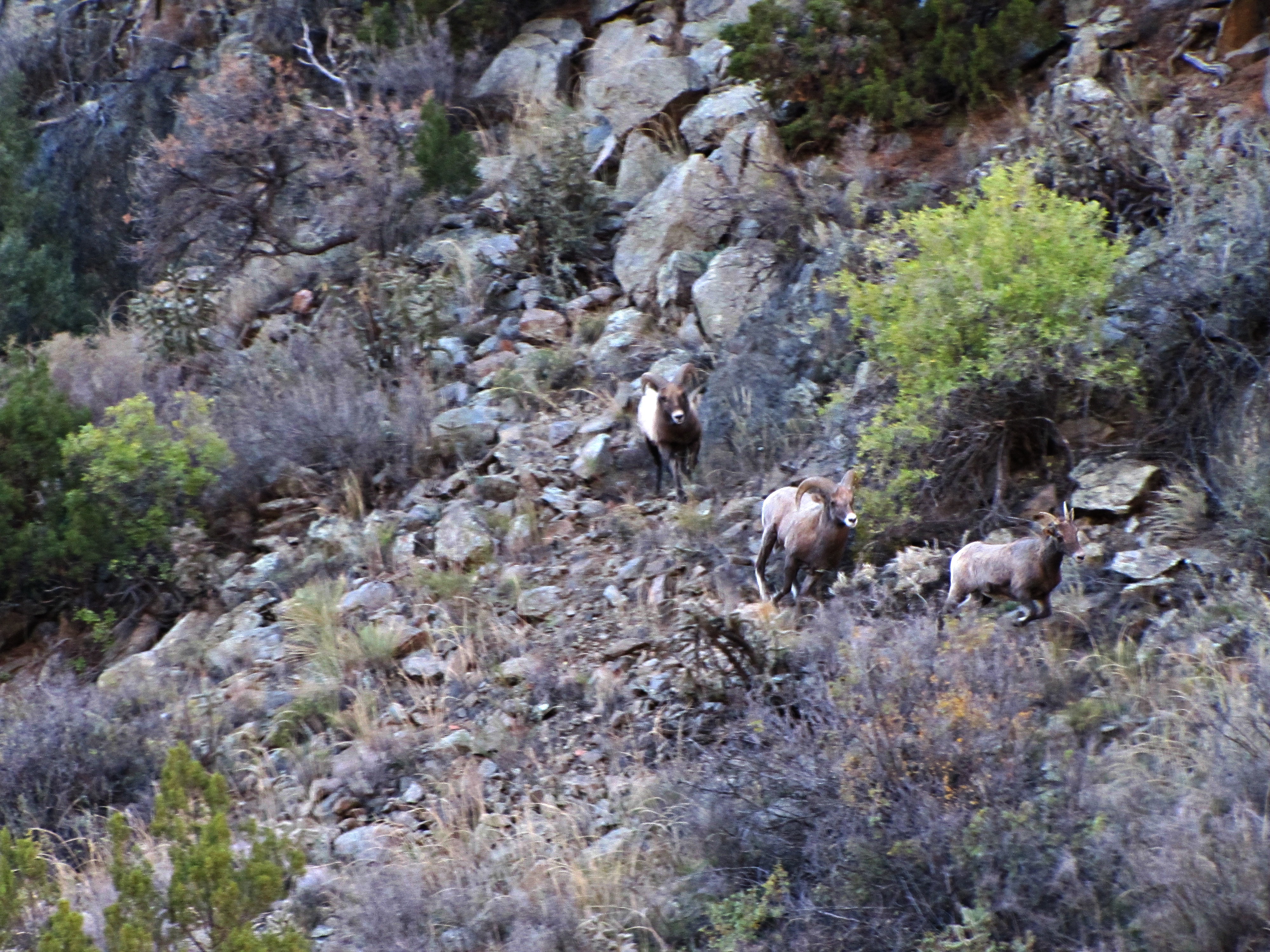
The rut (4 of 6)
Everson Ranch
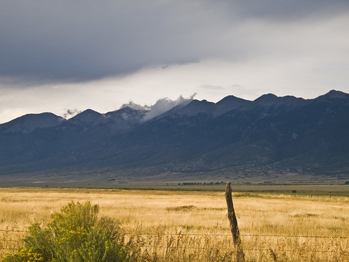
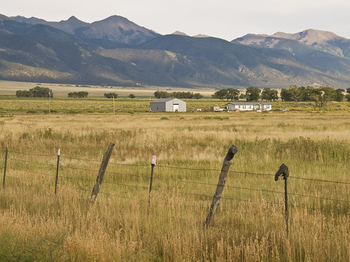
Sangre de Cristo
+
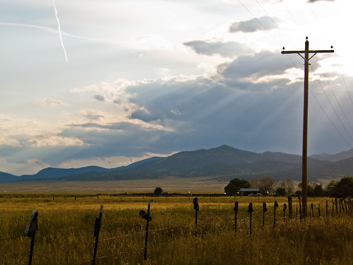
Sunrise at Valley View
Sinister Minister
Eagle Peak3
Campsite View

Clouds from Our Campsite
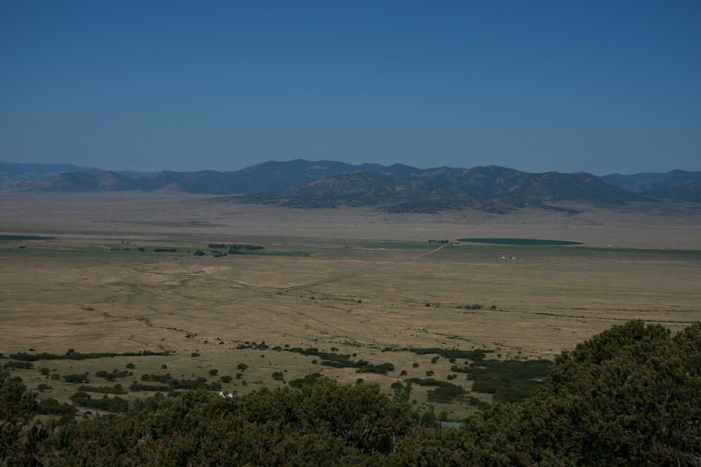
Saguache Valley, Colorado
Topographic Map of Galena Peak, Colorado, USA
Find elevation by address:

Places near Galena Peak, Colorado, USA:
Mount Otto
1379 Hamilton Creek Rd
Villa Grove
4821 Knotty Pine Rd
4821 Knotty Pine Rd
4821 Knotty Pine Rd
460 Scenic Ln
Hunts Peak
Howard, CO, USA
County Road 48
255 Meadow Dr
255 Meadow Dr
Coaldale
Shillelagh Place
35 Shillelagh Pl
41 Shillelagh Pl
35 Shillelagh Pl
266 Sangre De Cristo
250 Fre Co Rd 006
9362 Us-50
Recent Searches:
- Elevation of Corso Fratelli Cairoli, 35, Macerata MC, Italy
- Elevation of Tallevast Rd, Sarasota, FL, USA
- Elevation of 4th St E, Sonoma, CA, USA
- Elevation of Black Hollow Rd, Pennsdale, PA, USA
- Elevation of Oakland Ave, Williamsport, PA, USA
- Elevation of Pedrógão Grande, Portugal
- Elevation of Klee Dr, Martinsburg, WV, USA
- Elevation of Via Roma, Pieranica CR, Italy
- Elevation of Tavkvetili Mountain, Georgia
- Elevation of Hartfords Bluff Cir, Mt Pleasant, SC, USA