Elevation of Fuller Road, Fuller Rd, Newbury, VT, USA

Location: United States > Vermont > Orange County > Newbury >

Longitude: -72.16837

Latitude: 44.1112329

Elevation: 438m / 1437feet

Barometric Pressure: 96KPa

Elevation Map:

elevation map of Fuller Road, Fuller Rd, Newbury, VT, USA

Satellite Map:

Satellite map of Fuller Road, Fuller Rd, Newbury, VT, USA

Related Photos:

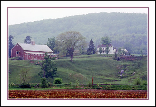
epsonv500 vermont farm redbarn newburyvermont geotagged
An Old New England Farm in Vermont - 1985
vermont headstone newburyvermont geotagged oxbowcemeerynewbury
1772 Headstone - Oxbow Cemetery, Vermont, 1985
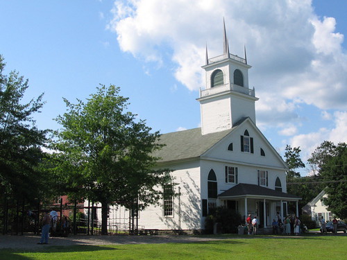
church mainstreet vermont bradford orangecounty vt congregationalchurch bradfordvermont vermontdreams
Congregational Church of Bradford, Vermont
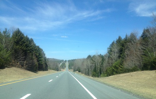
91NB-Exit16-17
newbury vermont shapenotemusic connexionalldaysinging ingallsbicentenial 05051
Another View of the Church
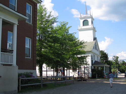
newbury vermont shapenotemusic connexionalldaysinging ingallsbicentenial 05051
From the Green
square squareformat iphoneography instagramapp uploaded:by=instagram
View from the bed. Somehow waking up early just doesn't hurt so much at the Cabin.
square squareformat iphoneography instagramapp uploaded:by=instagram
Good morning, Cabin! (View from the outhouse) #nofilter #cabinlove
2016 beetlejuice canon canon6d canonef2470mmf28liiusm corinth davetrono eastcorinth newengland vt vermont villageroad autumn church fall fallcolors fallfoliage foliage geotagged landscape trees us
East Corinth, Vermont
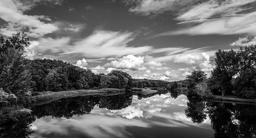
ammonoosucriver bathhaverhillcoveredbridge landscape reflection sky clouds cloudporn skyporn nature waterscape water river blackandwhite monochrome bw nikon d610 2018g woodsville newhampshire nh unitedstatesofamerica usa bathhaverhill fav10 fav25 fav50
Ammonoosuc River
2019 canon canon5dmarkiv canonef2470mmf28liiusm davetrono eastorange newengland vt vermont communityhouse geotagged hill landscape meetinghouse oneroomschoolhouse red road rural school schoolhouse snow trees winter
East Orange, Vermont
2020 canon canon5dmarkiv canonef24mmf14lii corinth davetrono eastcorinth jupiter milkyway newengland saturn vt vermont astronomy astrophotography barn church dandelions fence geotagged hill iconic landscape nightphotography nightsky pasture rural shed spring stars steeple town trees village unitedstates
Milky Way over Vermont Village
waterfall vermont fallfoliage groton canonef1740mmf4l bwcircularpolarizer 5dmarkii
Little Unnamed Waterfall in Vermont
2018 canon canon5dmarkiv canonef2470mmf28liiusm davetrono newengland barn blue bluehour church fence field geotagged green hill iconic landscape rural shed steeple summer trees village eastcorinth vermont unitedstates us tree
Evening at East Corinth, Vermont
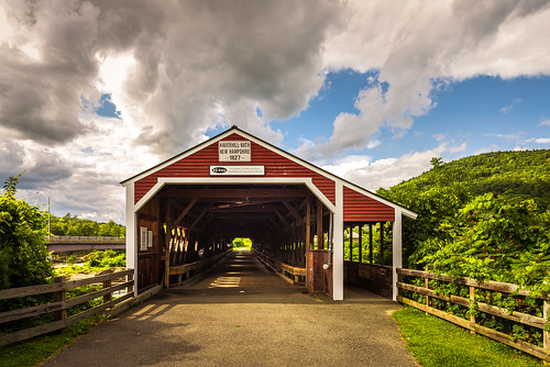
haverhillbathcoveredbridge haverhillbath coveredbridge historic history ammonoosucriver woodsville bath newhampshire nh unitedstatesofamerica usa historicplace old landscape light nikon d610 2018g haverhill fav10 fav25
Haverhill-Bath Covered Bridge
2017 canon canon5dmarkiv canonef2470mmf28liiusm davetrono eastorange maplewoodroad newengland vt vermont autumn fall fallcolors fallfoliage foliage geotagged trees landscape
Autumn in Vermont
newhampshire places bath covered bridge bathhaverhill ammonoosuc river
Bath-Haverhill Covered Bridge
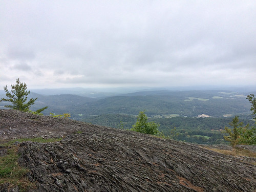
us vermont bradford unitedstates hiking wrightsmountain wrightsmountaintrail
Wright’s Mountain
water electric waterfall vermont bradford dam hydro
Bradford Dam
vermont newengland
Connecticut River, Wells River, Vermont
vermont vt orangecounty topshamtown landscapes newengland northamerica unitedstates us
Northern New England Landscape (Topsham Town, Vermont)
statepark bridge ruin newhampshire coveredbridge connecticutriver grafton nationalregister nationalregisterofhistoricplaces bedellcoveredbridge
Bedell Covered Bridge- Grafton County NH (3)
Green Mountains
newhampshire nh graftoncounty haverhilltown landscapes newengland northamerica unitedstates us
Connecticut River Valley (Haverhill Town, New Hampshire)
vermont vt orangecounty topshamtown landscapes farms newengland northamerica unitedstates us
Northern New England Landscape (Topsham Town, Vermont)
autumn green fall colors clouds scenery unitedstates scenic newhampshire roadtrip nh foliage 2009 vt eastryegate
Borders of NH
usa lake green public water geotagged nikon vermont newengland lac vert groton nouvelleangleterre rickerpond guillaumeboisseau coolpixs510 rickerpondstatepark geo:lat=44243569 geo:lon=72244119
Morning fog over Ricker Pond
bridge usa water landscape geotagged wooden nikon bath newhampshire nh covered coveredbridge 2009 haverhill d80
Bath-Haverhill covered Bridge
usa lake green public water geotagged nikon vermont newengland lac vert groton nouvelleangleterre rickerpond guillaumeboisseau coolpixs510 rickerpondstatepark geo:lat=44243661 geo:lon=7224472
Ricker Pond