Elevation of Fuller Rd, Newbury, VT, USA
Location: United States > Vermont > Orange County > Newbury >
Longitude: -72.178202
Latitude: 44.1142633
Elevation: 416m / 1365feet
Barometric Pressure: 96KPa
Elevation Map:
Satellite Map:
Related Photos:

1772 Headstone - Oxbow Cemetery, Vermont, 1985

An Old New England Farm in Vermont - 1985
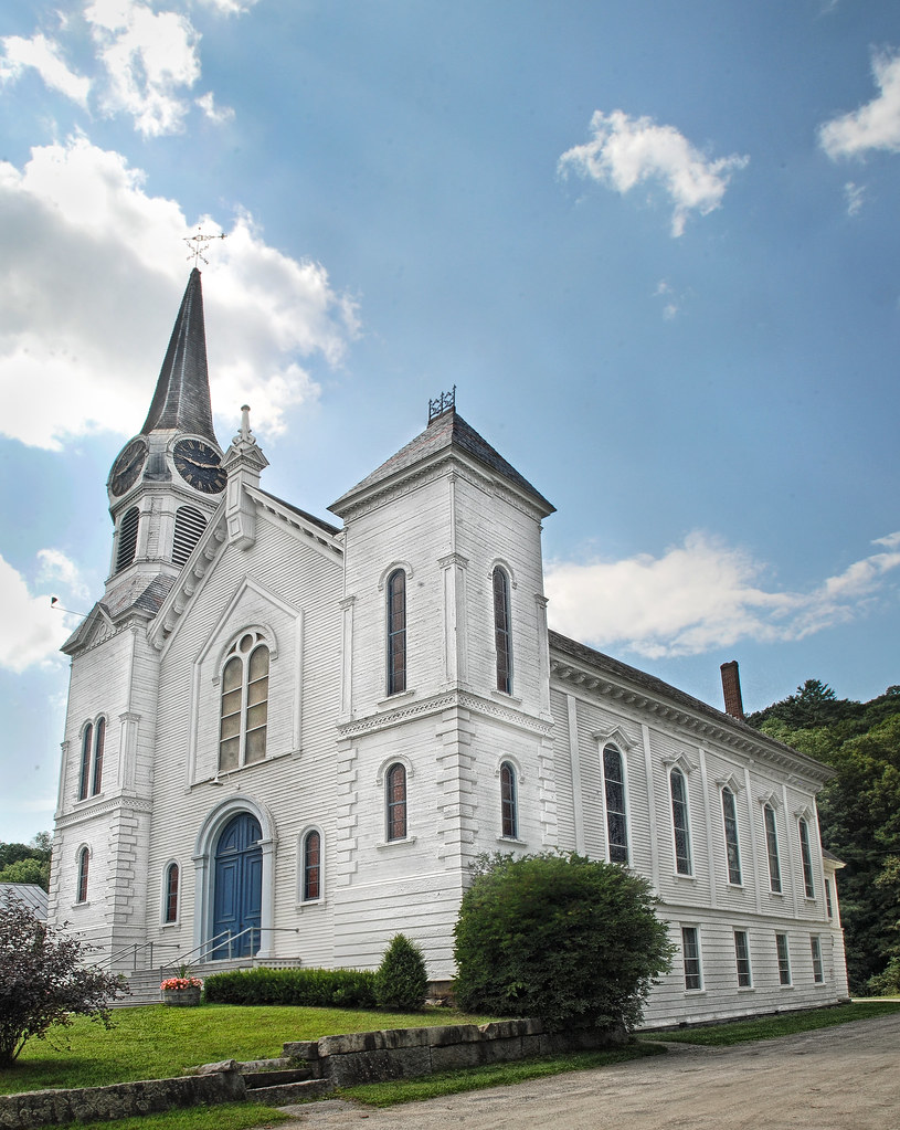
Congregational Church of Bradford, Vermont

91NB-Exit16-17

Another View of the Church

From the Green

View from the bed. Somehow waking up early just doesn't hurt so much at the Cabin.
Good morning, Cabin! (View from the outhouse) #nofilter #cabinlove

East Corinth, Vermont

East Orange, Vermont

Milky Way over Vermont Village

Haverhill-Bath Covered Bridge

Bath-Haverhill Covered Bridge

Connecticut River, Wells River, Vermont
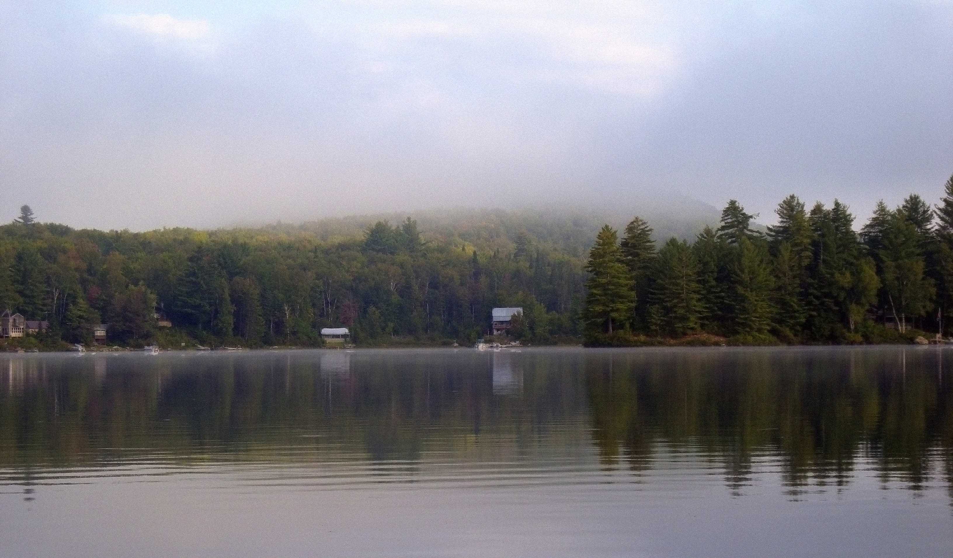
Morning fog over Ricker Pond

Ammonoosuc River

Little Unnamed Waterfall in Vermont

Evening at East Corinth, Vermont

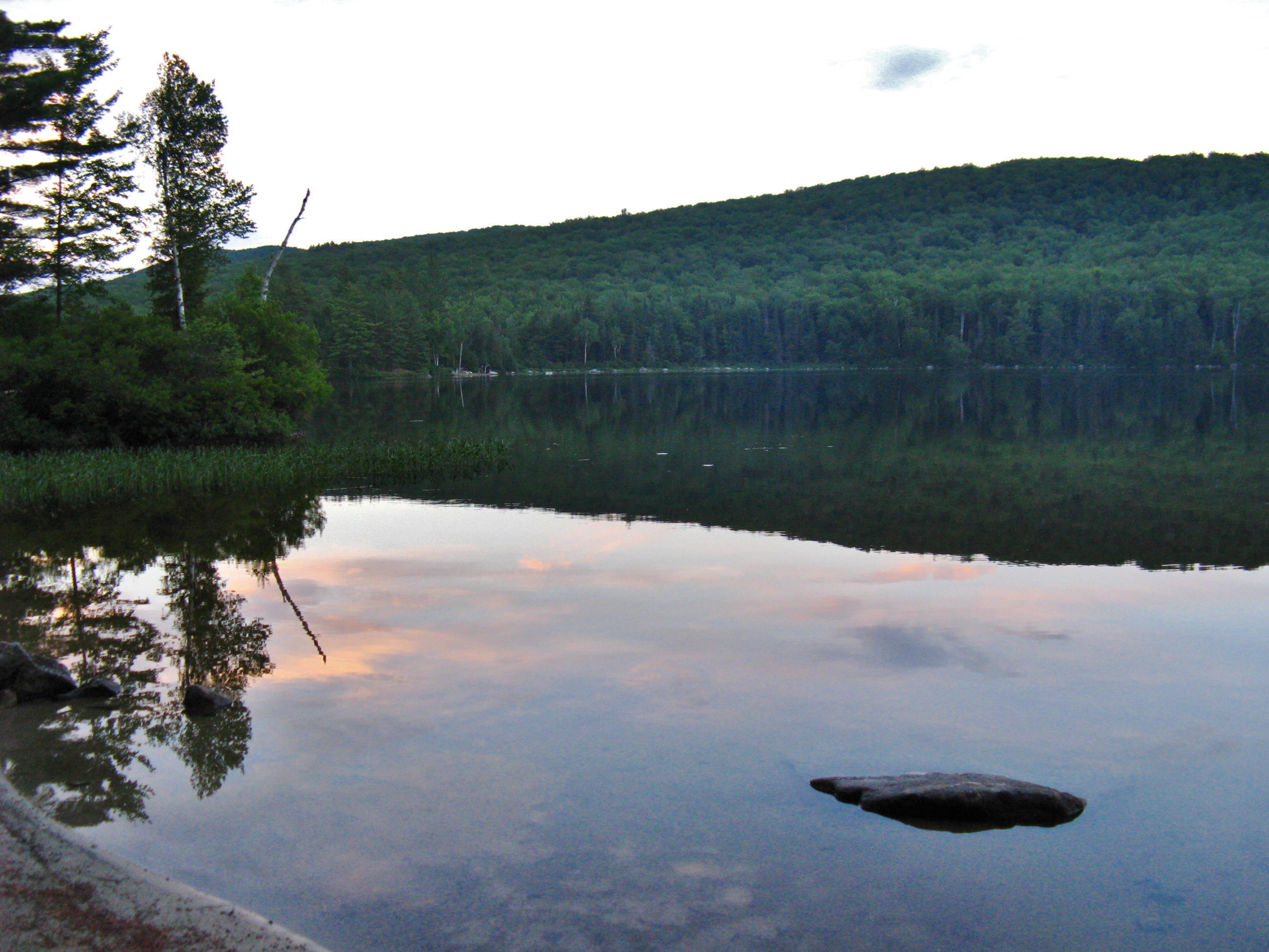
Reflections of Fog

Autumn in Vermont

Ricker Pond State Park

Wright’s Mountain
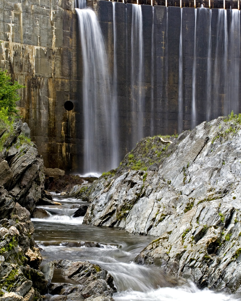
Bradford Dam
Ricker Pond State Park
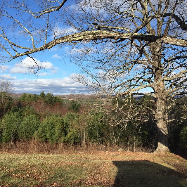
Northern New England Landscape (Topsham Town, Vermont)

Bedell Covered Bridge- Grafton County NH (3)

Green Mountains
Connecticut River Valley (Haverhill Town, New Hampshire)
Topographic Map of Fuller Rd, Newbury, VT, USA
Find elevation by address:

Places near Fuller Rd, Newbury, VT, USA:
1864 Fuller Rd
Fuller Road
Fuller Road
Fuller Road
2810 N Rd
Wrights Mountain Trail
East Corinth
Snake Rd, Newbury, VT, USA
300 Wrights Mountain Rd
280 Wrights Mountain Rd
250 Wrights Mountain Rd
285 Wrights Mountain Rd
220 Wrights Mountain Rd
200 Wrights Mountain Rd
110 Wrights Mountain Rd
5786 Waits River Rd
10872 Vt-25
10872 Vt-25
115 Sheep Meadow Ln
194 Miller Rd
Recent Searches:
- Elevation of Great Brook Sports, Gold Star Hwy, Groton, CT, USA
- Elevation of 10 Mountain Laurels Dr, Nashua, NH, USA
- Elevation of 16 Gilboa Ln, Nashua, NH, USA
- Elevation of Laurel Rd, Townsend, TN, USA
- Elevation of 3 Nestling Wood Dr, Long Valley, NJ, USA
- Elevation of Ilungu, Tanzania
- Elevation of Yellow Springs Road, Yellow Springs Rd, Chester Springs, PA, USA
- Elevation of Rēzekne Municipality, Latvia
- Elevation of Plikpūrmaļi, Vērēmi Parish, Rēzekne Municipality, LV-, Latvia
- Elevation of 2 Henschke Ct, Caboolture QLD, Australia