Elevation of Front St, Georgetown, SC, USA
Location: United States > South Carolina > Georgetown County > Georgetown >
Longitude: -79.282357
Latitude: 33.365943
Elevation: 2m / 7feet
Barometric Pressure: 101KPa
Elevation Map:
Satellite Map:
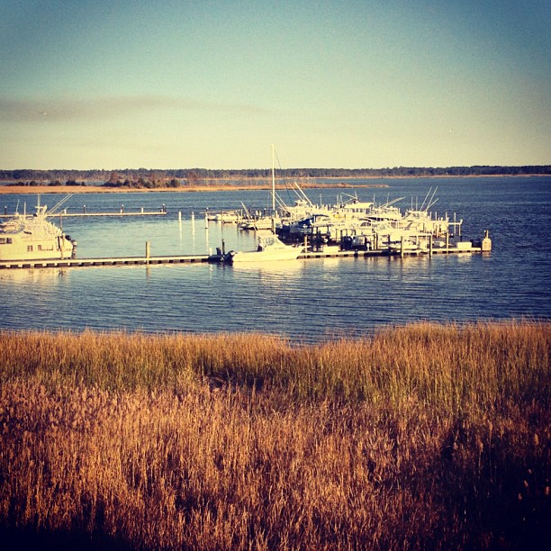
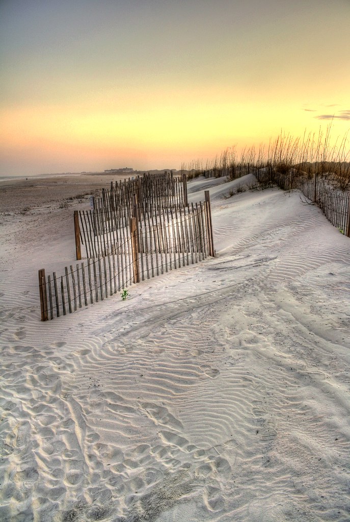
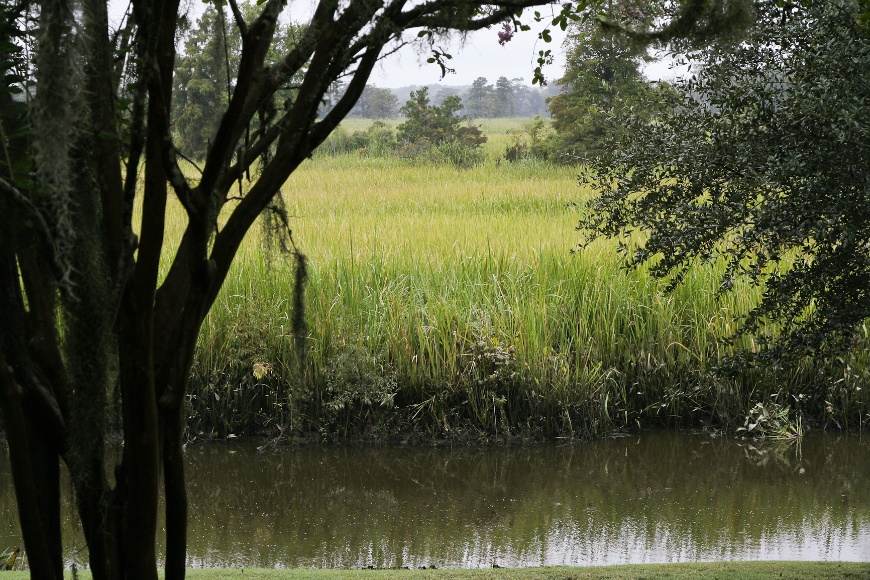
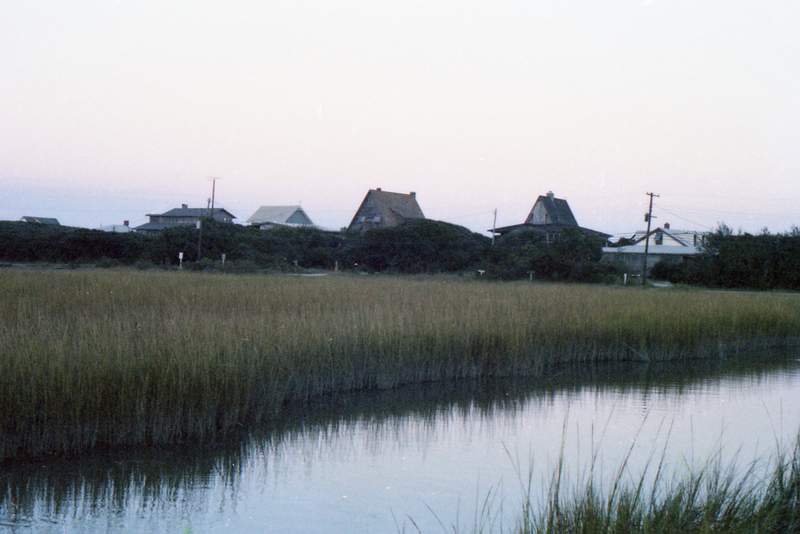
Related Photos:
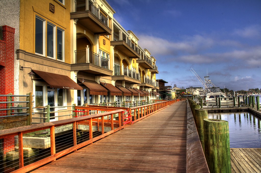
Shop, Dine or Sail?

Epic view from the bridge
pawleys island 1986 - port arthur long view
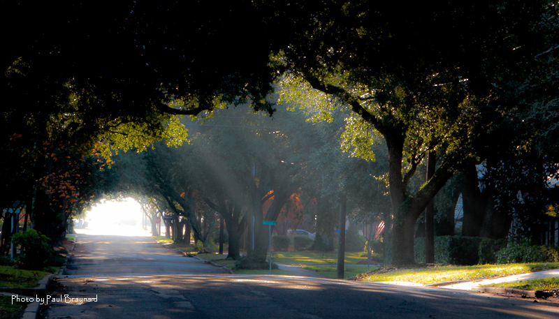
Sunrise on Meeting Street
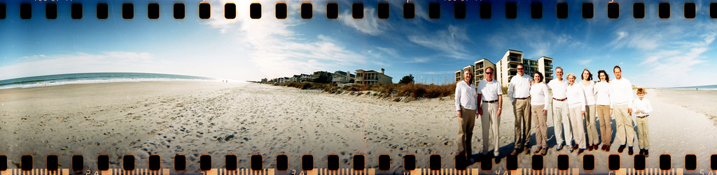
The Hunts, Polks and McLaurins Panorama
I've had worse hotel views.

Window view

View from the front
sand trap

View-A-20_Sarver_NIWBNERR

View from the back
21SEP11: Caledonia marsh
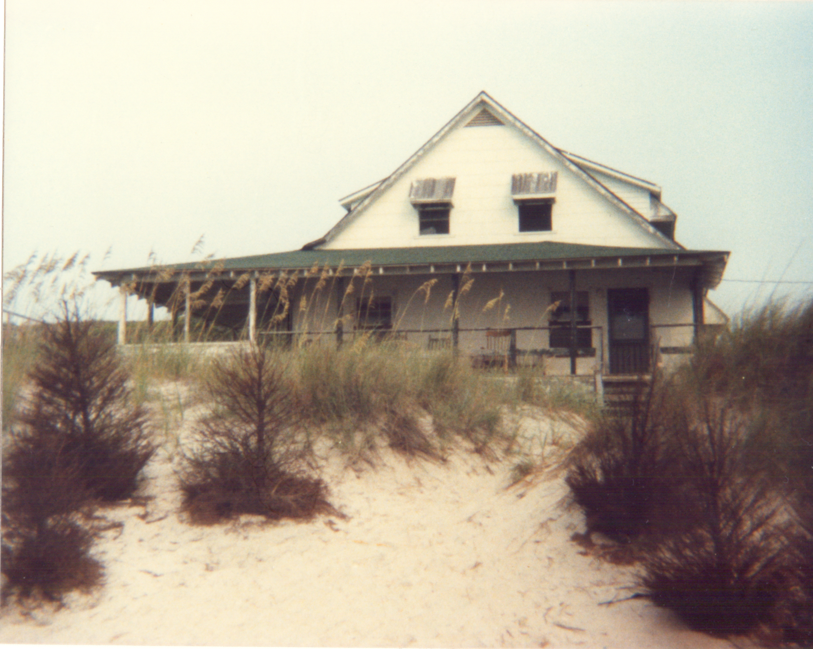
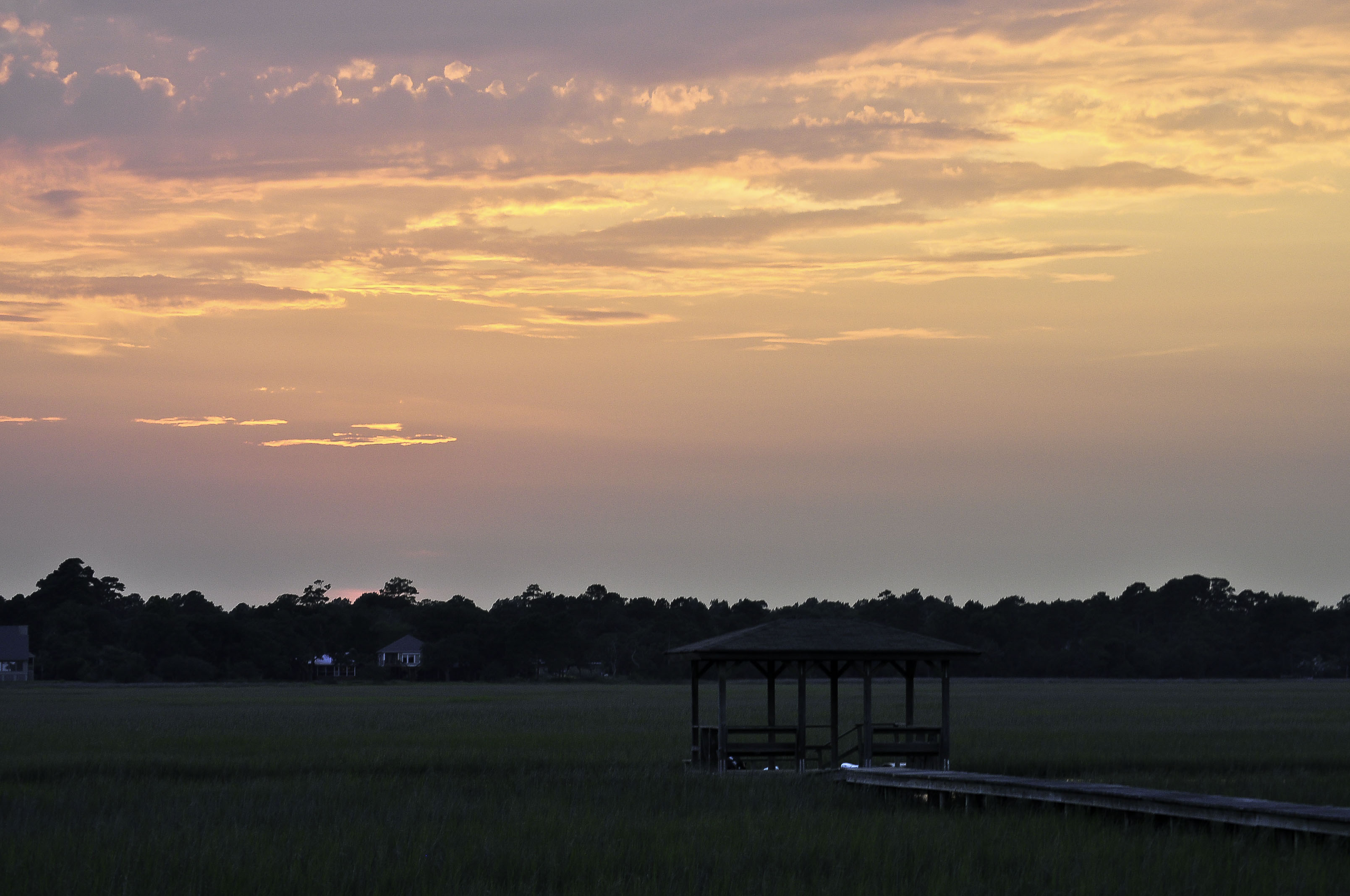
View from the Marsh, ca. 1980

The view from the hammock.
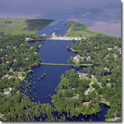
Aerial View of Property - Yacht Club at Belle Isle
Fort Reynolds side view
18th at True Blue as Viewed from Clubhouse
My kickstand broke--SHUCKS!
Tower View
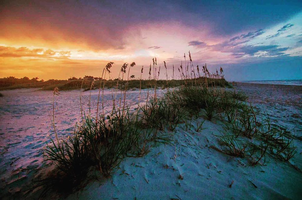
where life slows down
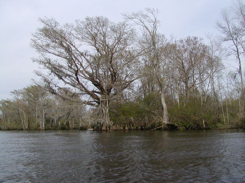
Waccamaw River Cypress Trees
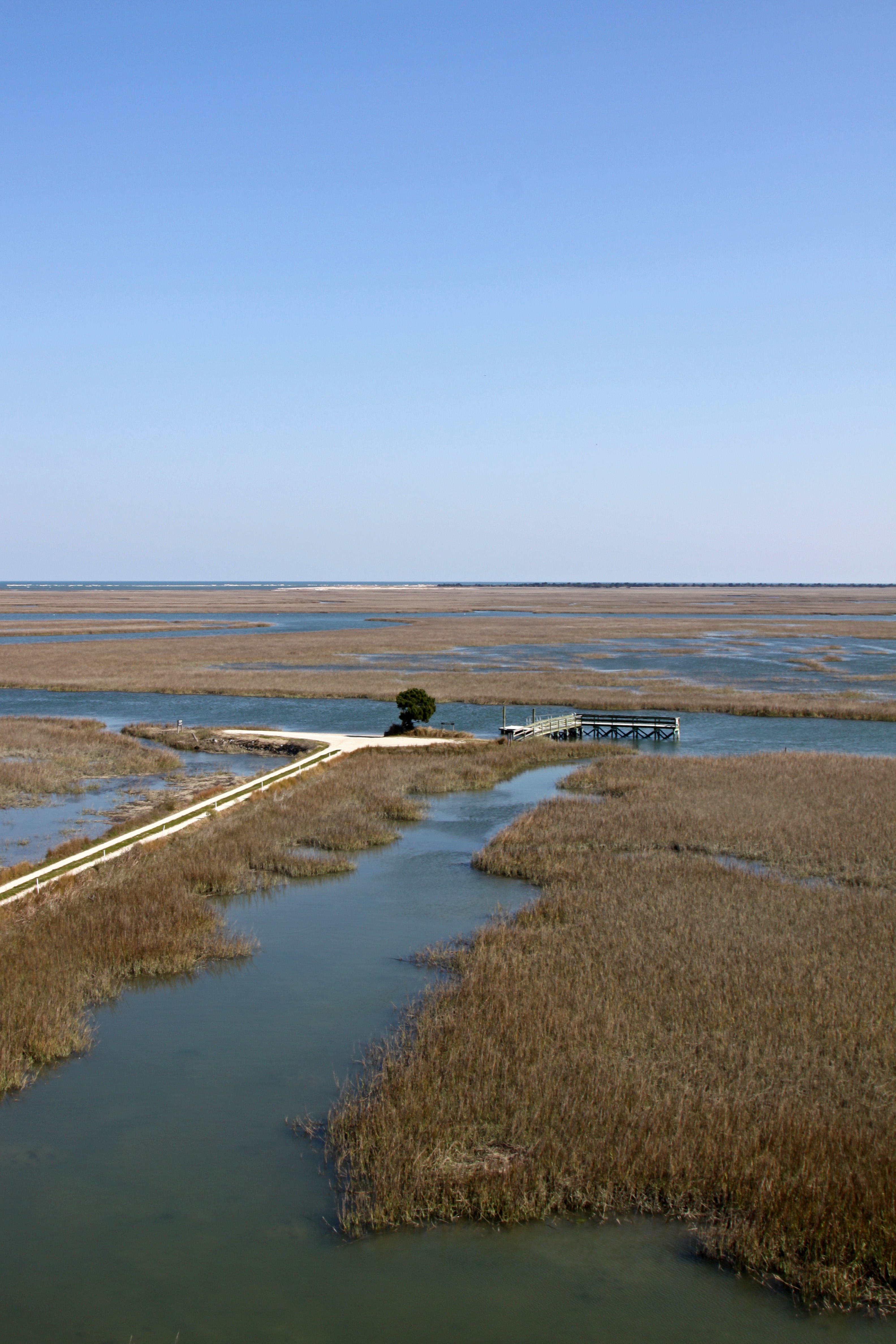
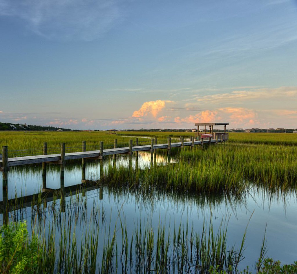
Pawleys Marsh

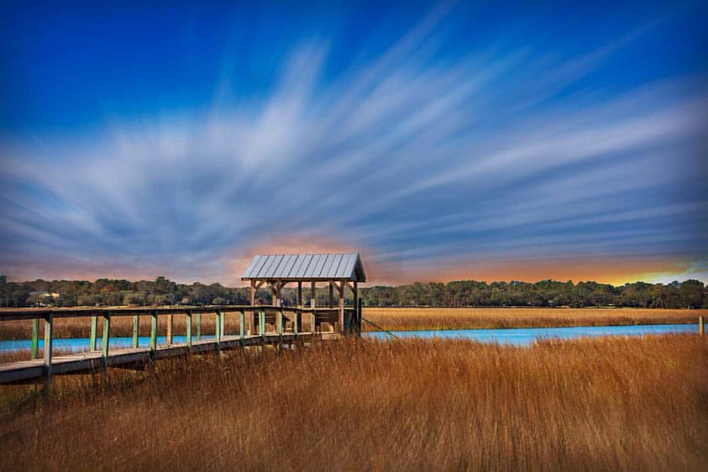
morning marsh

"Infrared capture" #ir #infrared #infraredphotography
God's painting again! ????@Cjpix . @sunset_stream @sunset_madness @sunset_stream @ig_shotz_sunset @bestshotz_sunset @tgif_sunset @sunsets_oftheworld #tbt #follow #follow4follow #picoft
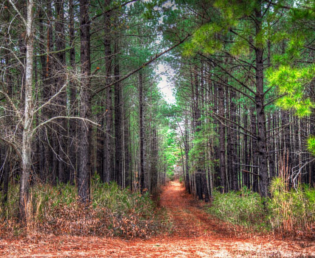
In to the woods
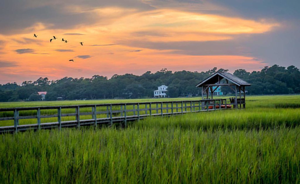
The Marsh at high tide, Pawleys Island
Pawleys Island perfect

Pawleys Island Sunrise
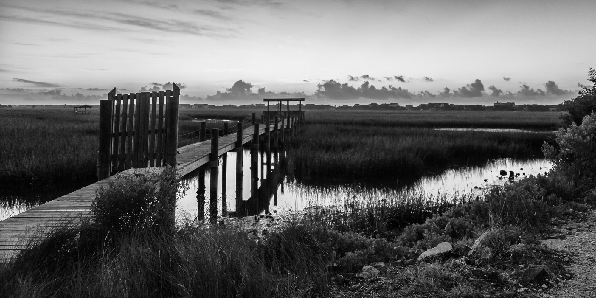
marsh bw

thru the rails
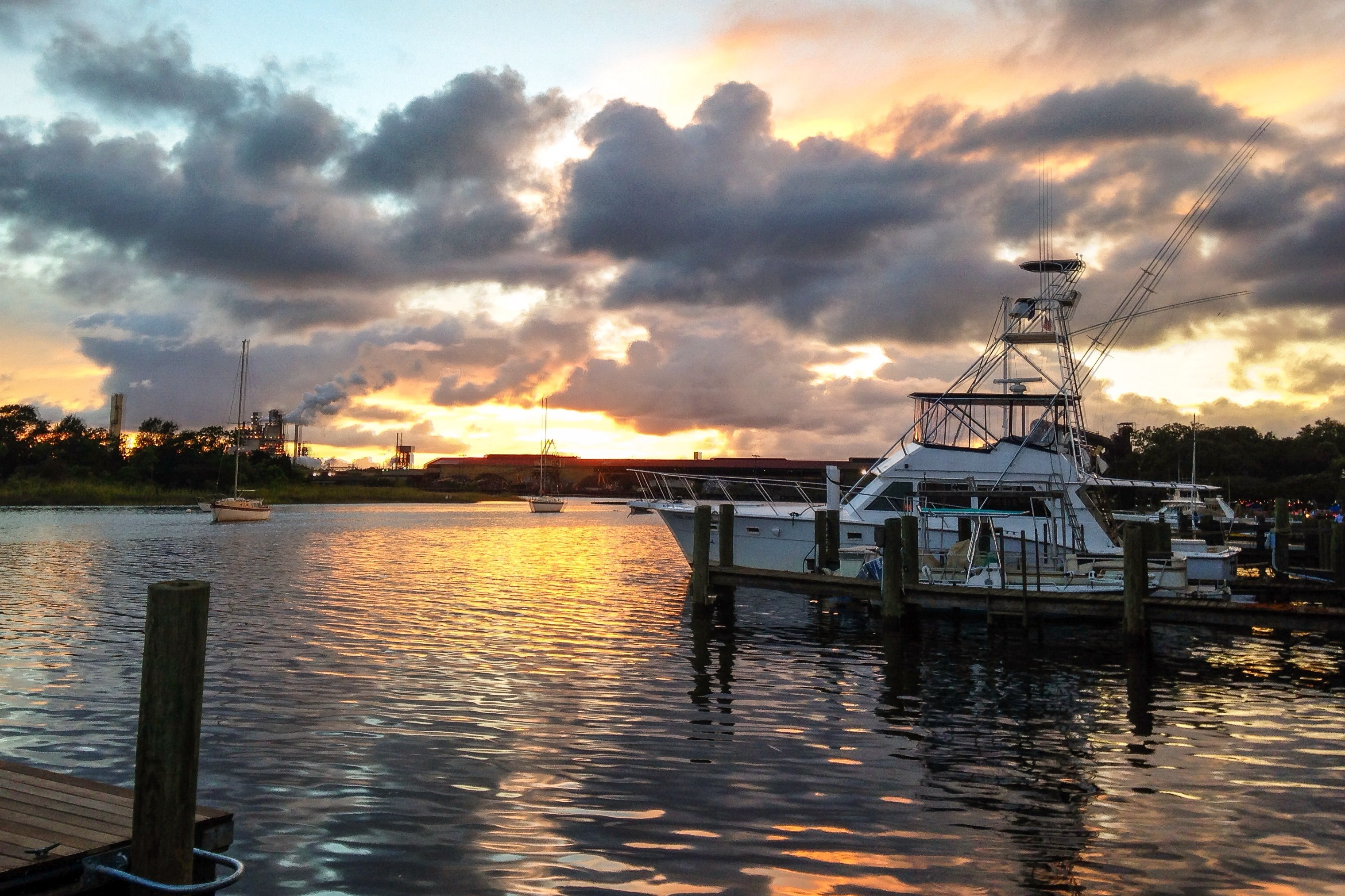
iPhone - Georgetown Waterfront Sunset HDR
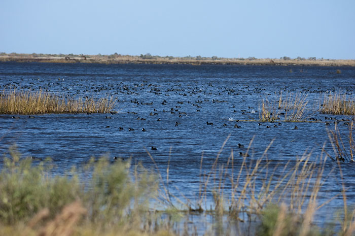
Coot Corner
Pawley's Island
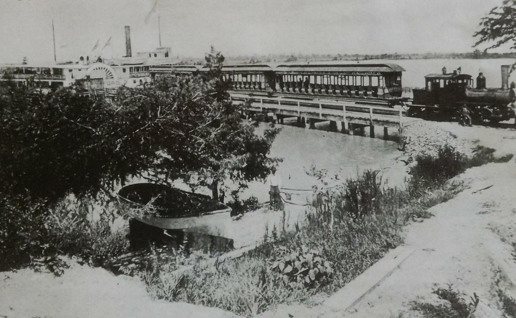
Georgetown and Pawleys Island RR
Pawleys Sunrise

Pawley's Plantation
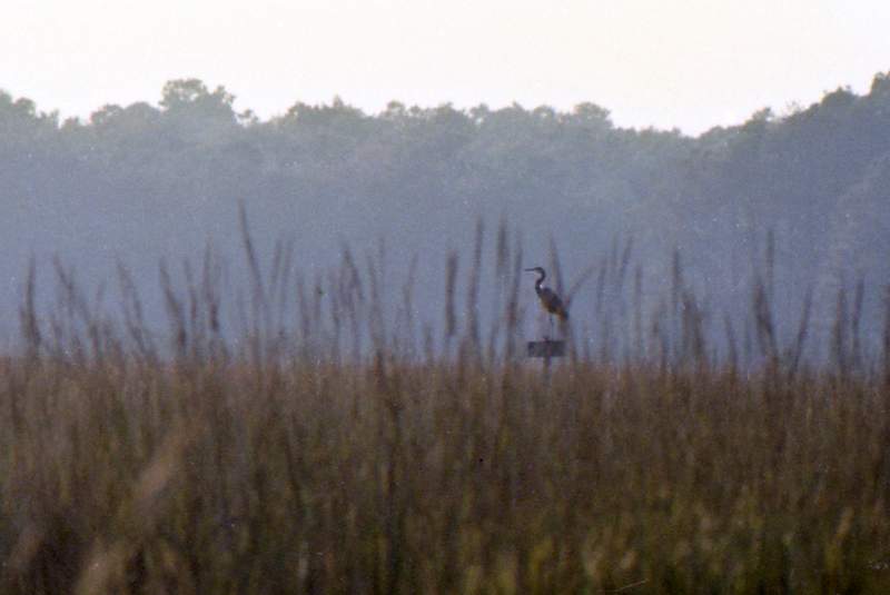
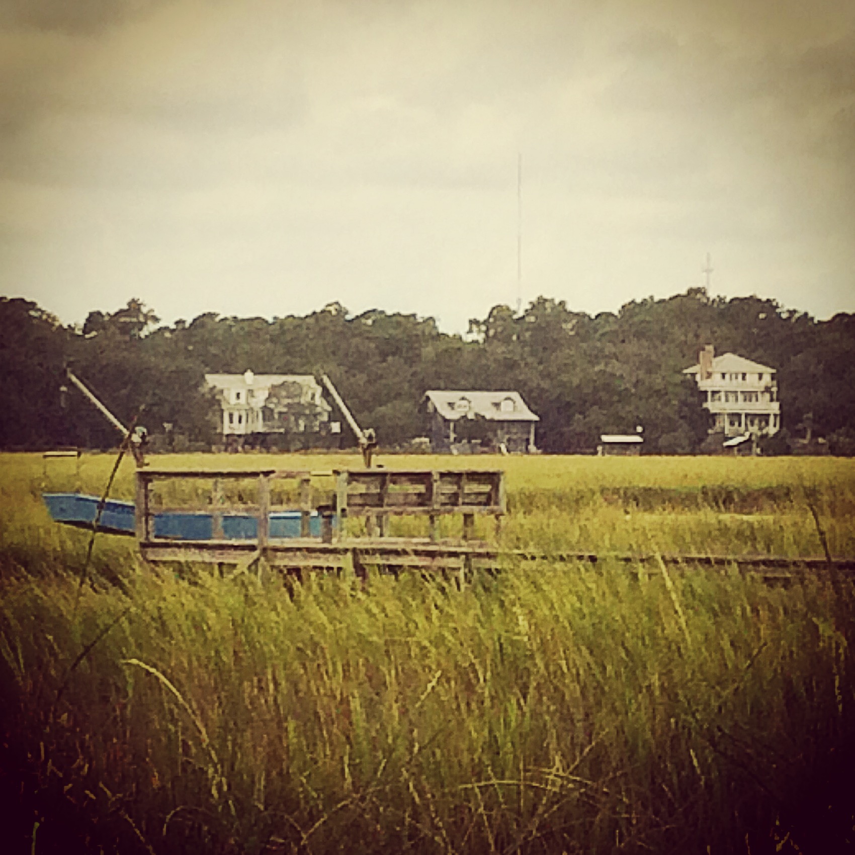
Pawleys Island Marsh, ca. 1980

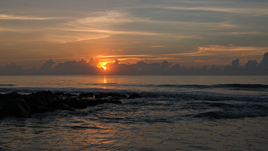
Dawn at the Jetty - 2
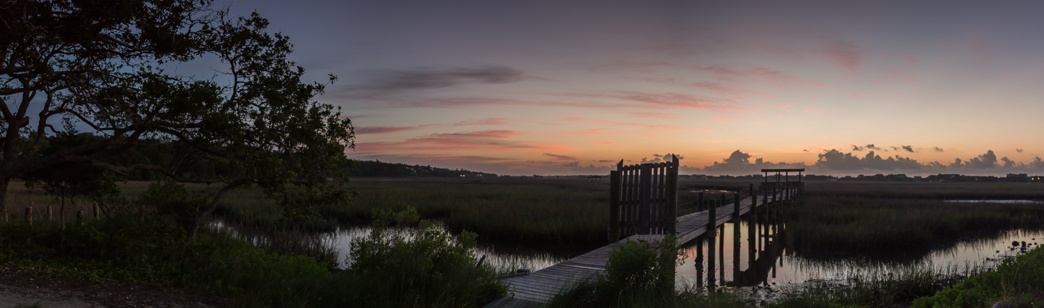
marsh pano
2014-08-31 15.37.36
Topographic Map of Front St, Georgetown, SC, USA
Find elevation by address:

Places near Front St, Georgetown, SC, USA:
724 Front St
732 Front St
600 Front St
800 Front St
19 Queen St
732 Prince St
210 Broad St
723 Highmarket St
617 Highmarket St
500 Front St
422 Front St
214 Cannon St
411 Prince St
401 Prince St
419 Queen St
123 Wood St
123 Cleland St
210 E Bay St
Front Street
1230 Highmarket St
Recent Searches:
- Elevation of Spaceport America, Co Rd A, Truth or Consequences, NM, USA
- Elevation of Warwick, RI, USA
- Elevation of Fern Rd, Whitmore, CA, USA
- Elevation of 62 Abbey St, Marshfield, MA, USA
- Elevation of Fernwood, Bradenton, FL, USA
- Elevation of Felindre, Swansea SA5 7LU, UK
- Elevation of Leyte Industrial Development Estate, Isabel, Leyte, Philippines
- Elevation of W Granada St, Tampa, FL, USA
- Elevation of Pykes Down, Ivybridge PL21 0BY, UK
- Elevation of Jalan Senandin, Lutong, Miri, Sarawak, Malaysia